
 ">


3 Novice Hikers Rescued After Using AI To Plan a Hike to the Top of a 14,000-Foot Volcano
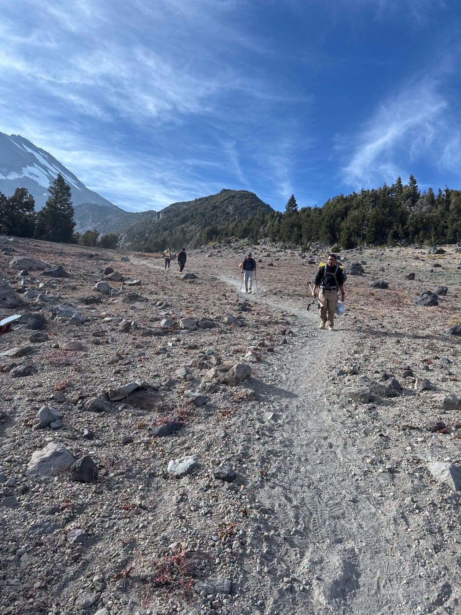
Three novice hikers were rescued from Mt. Shasta, one of California’s tallest peaks, in late August after relying heavily on Google’s Gemini AI to plan their trip. The hikers became stranded overnight on their way down from the summit of the 14,179-foot stratovolcano.
According to Siskiyou County Sherriff Search and Rescue, “the three young men from Roseville, CA made camp at approximately 8,400 feet on Saturday, August 29th, then departed with daypacks for Mount Shasta Summit at 3:00 a.m. on Sunday, August 30th. The men summited at 7:00 p.m. that evening, well after the recommended turnaround time of 12 p.m., and descended in the dark.”
They were descending the Clear Creek route but reportedly became lost about an hour into the descent and called Siskiyou County Sheriff’s Office Dispatch to ask for directions, but eventually got off route into Mud Creek Canyon. One of the hikers sustained a knee injury, and the party ended up stranded overnight in the steep drainage.
They were rescued by Forest Service climbing rangers and county search and rescue volunteers the following morning, and all returned safely to the trailhead without further incident.
Using AI To Plan the Trip: “This Was a Critical Misstep”
The men told rescuers they had relied on Gemini for route information and advice on what to pack. “This was a critical misstep, as they were advised by Gemini to bring far less food and water than their group required, especialy when their planned 8 hour ascent became a multi-day ordeal,” said Siskiyou County Sheriff SAR in its press release.
The organization urged hikers to never rely solely on AI (which is prone to inaccurate or incomplete responses) for trip planning, and to contact local rangers to ensure you have accurate information ahead of your trip. In this case, that would have been the local USFS Mount Shasta Ranger station.
“This search and rescue operation also underscores the importance of adhering to the 12:00 p.m. turnaround rule. If you have not reached the summit of Mount Shasta by noonm turn around while you (or a potential rescue party) still have sufficient daylight to hike out,” the press release added, while recommending that hikers carry multiple navigation methods rather than exclusively relying on a cellphone or GPS device.
This is not the first time hikers have had to be rescued after relying on AI route-planning advice that left them ill-prepared for the reality of the moutains. A pair of hikers who used ChatGPT and Google Maps to plan their hike had to call for rescue after being trapped by unexpected snowpack halfway up western Canada’s Unnecessary Mountain last June, for instance.
In that instance, as in this more recent one, rescuers reminded hikers that AI is unreliable as a route-planning tool and that hikers should instead rely on trusted local information sources and proper navigation tools.
Featured image: Mount Shasta photographed from the Pacific Crest Trail in August 2026. Photo: David Whitehair

This website contains affiliate links, which means The Trek may receive a percentage of any product or service you purchase using the links in the articles or advertisements. The buyer pays the same price as they would otherwise, and your purchase helps to support The Trek's ongoing goal to serve you quality backpacking advice and information. Thanks for your support!
To learn more, please visit the About This Site page.

Comments 2
I’m not sure that reminds on AI is the root cause of the problem. Lack of experience seems to be the issue. Even good advice, poorly implemented, leads to SAR notification. People who are only used to lower forest hiking have an expectation of what a “trail” is. Above the tree line trails are far less obvious and following across rock in the dark is challenging for anyone.
Phones, undependable in remote locations and battery dependent; GPS, battery dependent; trail apps that can be updated with user info can be undependable; AI and other social platform services like Facebook, etc. also undependable. The old way is still the best way overall – learn how to use a map and compass, and check reliable local sources for closures and weather conditions. Carry and know how to use the 10 essentials IN ADVANCE of your trip. Carry enough food for the trip + at least 1-2 days, and a way of filtering water. If you’re a newbie (don’t be ashamed, we all were once), take easier trips first to help gain the skills you’ll need for the more difficult ones.