 ">
">
AT Day 44 – A Generous Interpretation Of “Mostly Sunny”
Cow Camp Gap to Chimney Rock
Cow Camp Gap Camp to Deep Vee Camp
AT miles: 25.9
Total miles: 846.9
Elevation change: 6781ft gain, 7667ft loss
Whoever cranked up the thermostat yesterday, dialed it back down today, a lot. A wind from the West returned, bringing with it the familiar, icy blast from the country’s interior. No longer was I walking in a hot tub haze, struggling to keep my eyes open while my sweat struggled to keep me cool. Today it was back to the classic MO, hike to stay warm. Considering all my griping during past days with similar weather, I expected to be similarly turned off by the wearing grind brought by the breeze today. However, I wasn’t. The cold felt fresh and revitalizing, a welcome change from yesterday’s lassitude. Plus, I didn’t need to use my umbrella once. On an extremely basic level, isn’t that enough?
The storming swept back in and persisted for most of the night. Stinging rain lashed sideways, and the wind rattled and flapped every loose part of my tent. I even witnessed a few flashes, although the thunder never arrived to help me estimate the distance. Despite all of that, I got the rest that I had been craving, sleeping soundly until my alarm rang.
The wind was still blowing, buy the sky looked bright-ish through my translucent tent canopy. On of the stakes at my feet had pulled out at some point in the night, but my tent was still sound and standing. I felt grateful for that, and good about the day already. I cranked up to face a cold morning, eating a few more handfuls of granola than usual to provide my metabolism with the fuel it needed to keep me moving and warm. It felt like one of those days.
I was moving again at the usual time, hiking fast to gain back the heat I’d lost during the awkward time between taking off my warmest layers and exerting myself enough to stay warm. Dark clouds scooted overhead, blocking the sun except for short blasts of brightness. A few pellets of poppy seed graupel tickled my nose. Oh boy, I’ve been here before.

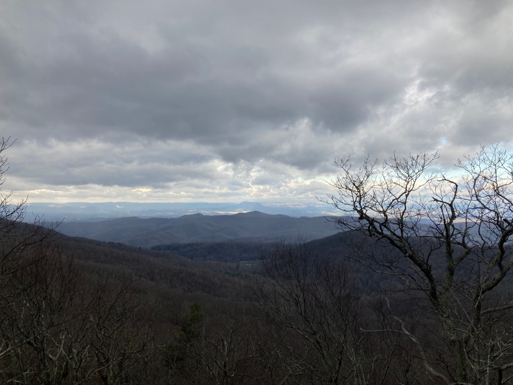
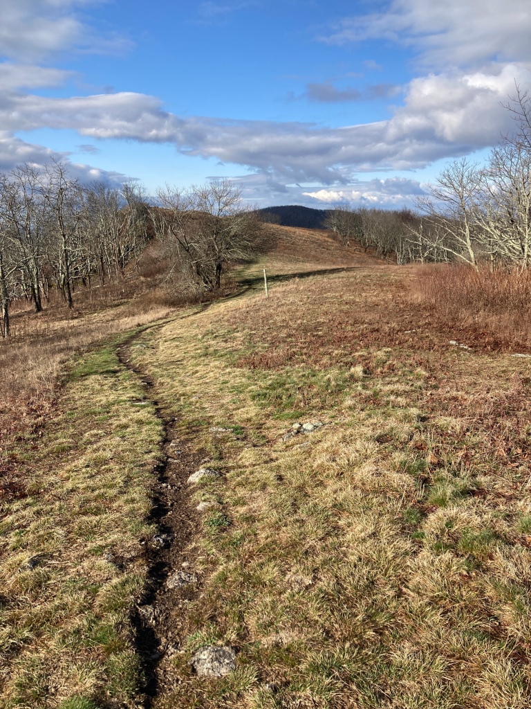
By the time I’d worked up the first mile to Cole Mountain, however, a large patch of blue sky ripped open above, just in the nick of time. The grassy summit granted me spectacular views in just about every direction, including along the wide open ridgeline ahead of me. Eastern Virginia quickly lost all texture, smoothing out to a flat horizon, like a quilted blanket of various greens. The west was hilly, and patches of sunlight danced with ease across the rugged terrain, mirroring the fluid clouds above. I could see the hanging white drapes of snow sweeping across more than one spot out there, so I doubted that I had seen the last of it in my neck of the woods. But for now, it was all sunshine and spectacular hiking. Here was the big payoff for that brutal climb yesterday. Worth it, as usual. I swept down to a wide saddle, then back up, tremendous views the whole way, fully aware that it probably would not get better than this again today. And if it didn’t, that was alright. This was worthy of being called my favorite moment of the day by a long shot. Plenty of room for good stuff below this peak.
I warmed up back in the forest as I hiked hard, up and around Tar Jacket Ridge. I spoke with another enthusiastic hiker, Crunchy, who was in the early stages of finishing up her AT journey that she began in 2021. I thought that I had seen footprints going this way in the fresh mud. She was the answer to the “who could that be?” question. I sped away on legs significantly more broken in, thirsty for warmth and water.
After filling my bottles at Piney River, standard, though beautiful cruising bounced me along a mellow ridge. The sunshine poked through the clouds on occasion, but not enough to fight off the wind’s chill. “Mostly sunny” was looking a lot like mostly not-sunny to me. For this reason, I pushed past yet another perfectly timed for lunch shelter for the second day in a row. I was optimistic that the clouds were thinning and that if I just hiked a little longer, then my lunch break would be nice and warm. Shortly thereafter, my roaring hunger got the better of me, and I plunked down next to a stone fire ring, very much not in the sun. My puffy kept me warm even as a new wave of snow pellets dotted the ground and my spread of snacks. I chose to just accept, and munched away, again eating more than usual to fuel up for a harder second half of the day.

I was a breath away from smashing my face into the ground after a mighty toe stubbing, but instinct pulled me out of it just in time. I was still in awe and composing myself when I passed a trio of day hikers, who seem to spring out of nowhere with regularity, before disappearing back to their cars at unknown trailheads. Spy Rock was the next noteworthy location, and worth the short side trail. I could see why it had been so named as I spun in place on the bald summit. Deep puddles of captured rain filled the pockmarks in the weathered granite. The sun again broke through the thinning cloud cover, keeping me warm enough to stay for a few minutes, motionless and silently spying. Nothing to report today.

The trail took me up and over The Priest, a peak notorious for its 3000ft of prominence from the road crossing, way below. Going northbound, this was presented as a punishing descent so I lengthened my poles and began the mighty crunch to the bottom. My end-of-day legs were not too happy about the effort, or the uneven trail that poked my battered feet in all kinds of uncomfortable ways, but I thought of future SpiceRack, slogging up the other way. That made all of my complaints seem minor in comparison. Besides, through the trees, I could see to Three Ridges, the peak directly across from The Priest. It offers the same 3000ft treatment for nobos, and I would know Spice’s pain soon enough. The elevation profile between the two sentinels carved a vee so deep that not even the boldest hipster would attempt to pull it off.

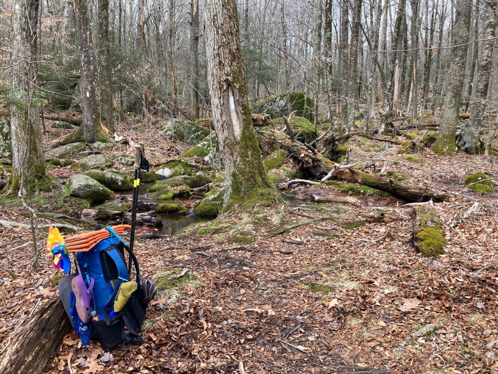
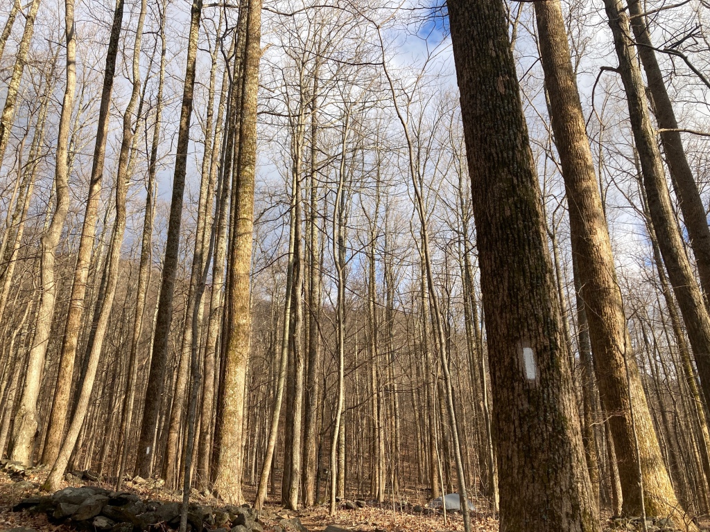
Lower down the trail smoothed out, and I scooted across the road and a large suspension bridge over a river. The climb began immediately from there, and eased my uphill muscles back to life with gentle switchbacks. The afternoon light glowed, and I noticed that the towering oak had sprouted buds high above, practically incandescent with hope and promise. To harness some of this youthful energy for myself, I turned on the groovy beats of Chromeo, which over the years, increasingly feels like a guilty pleasure. Slapping base and funky grooves combined with a Clif bar to push me up and up.
I stopped for one final water fill-up, then pushed past the shelter and campsite, waving to a few of the curious residents. I set my sights on a ridge about two-thirds of the way to the summit. The timing seemed right, and the spot looked like it might benefit from both sunset and sunrise. The trail steepened and turned into a pile of boulders for a while, but I felt strong and capable, in stark contrast to how I felt during the final ascent yesterday. It was good to be back, and I pondered what about today made it so much easier. More food? More sleep? Probably both.

The ridge just short of Chimney Rock was perfect and I found a flat campspot just big enough for my tent. I pitched it as the sun disappeared behind on of the last remaining clouds, which hovered behind The Priest. One final blast of warm rays capped the day as I mixed water into my instant potatoes and got under the covers. I ate a few handfuls of other things out of habit. The wind whooshed some other part of the mountain, the sound the only perturbation to reach my sheltered spot. Mostly sunny? It got there in the end.
This post was originally published on my blog hikefordays.com. Check it out for trip reports from my other hikes including the CDT and Sierra High Route.

This website contains affiliate links, which means The Trek may receive a percentage of any product or service you purchase using the links in the articles or advertisements. The buyer pays the same price as they would otherwise, and your purchase helps to support The Trek's ongoing goal to serve you quality backpacking advice and information. Thanks for your support!
To learn more, please visit the About This Site page.

Comments 1
I’m loving your blog. Not sure if I will ever do a thru hike so I appreciate the vicarious opportunity.
I think my biggest fear is bears. You often talk about eating right before sleep, when do you put your food up?