AT Day 61 – Friendly Faces In Port Clinton
Hertline Campsite to Port Clinton, PA
Footburger Camp to Home Sweet HomeSpice Camp
AT miles: 18.2
Total miles: 1228.4
Elevation change: 1867ft gain, 2592ft loss
What is a trail’s purpose? Is it to get the intended users, humans or otherwise, from one spot to another as efficiently as possible? Is it to demonstrate the diversity of a landscape, or provide maximum views? Maybe it is merely to convey mortal creatures across dangerous terrain, such as a jagged mountain pass or a turbulent river. I’m convinced that, at some point in the past, when walking was still the best way to get around, that was the purpose, combined with other utilitarian drivers. Things and people needed to get from here to there, safely and efficiently. Even today, as survival takes a back seat to recreation on trails in the US, there are communities using foot travel to function, relying on trails. How might the people who need trails to survive view them differently from someone like me, a visitor seeking them out in a quest for treasures of little material value?
The rocks of Pennsylvania bring out these questions of high philosophy. Maybe that was even the intent of the trail builders, to get people thinking about the answerless questions. After today, it is my opinion that sometimes trails are meant to cause suffering. There were some horrendously rocky miles that made me question everything, mainly because the false veil of usefulness was blown to smithereens by the option to hike the same distance on a perfectly flat gravel road. Why did this trail exist if not to twist ankles and frustrate hikers like me? Perhaps the better question is why do hikers like me even use the trail with a better alternative available? I don’t have the answers to those questions. Unfortunately, I think that it might take some more rocky trail to help me figure it out.

The day started easily enough, though the rocky finish of yesterday had me suspicious that it wouldn’t last. With a scheduled meeting in town, 18 miles north, I got an early start, just in case the rocks were here to stay. Over that distance, even a minor slowdown would add up to an hour later arrival. I was up and moving in the time it took the sky to shift from clear to gray. The temperature dropped as well, and I hiked out wearing my wind jacket, hoping that I could beat the rain forecast to begin at 2pm. I really didn’t want to use my rain jacket today.
The trail rose gradually for just long enough to get me to a comfortable operating temperature, then flattened out completely. The tread transitioned from rocky to less rocky, and I grinned each time my steps changed to a high-step, stuttered shuffel. It would look good on the dance floor, I convinced myself. I was grateful that my feet and legs felt recovered today, a shining testament to the miraculous tendency of the human body to fix itself, at least the bumps and bruises. My blister still yelled, but the calls were muffled and disappeared entirely with the shuffle step.
I made great time through the forest of oak and mountain laurel. My attention was fully on my feet, but when I stopped for a sip of water or to pee, I noticed the spring buds, just starting to bust free from twigs everywhere. It didn’t feel like spring today, but it would soon.

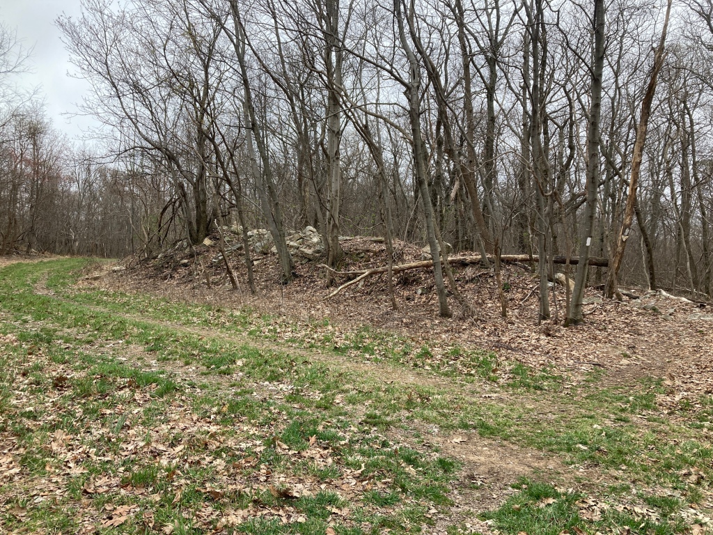
I jogged across a big road at a blind turn, then continued on a bumpy dirt road for a straight mile. Then, just as a smooth street of gravel came into view, the trail veered me to the right, straight into a pile of rocks. Shoot, so close. I meandered through the forest, sometimes rocky, sometimes not, until I crossed that same gravel road. I glanced longingly in each direction. There would be no need to look at my feet on the smooth tread. My map showed that it paralleled the AT for a few miles, surely more direct, surely more efficient, surely easier on the body and mind. Instead of taking it though, I plunged back into the trees, stubbornly following the freshly painted white blazes. Someone clearly valued this trail, but I couldn’t figure out why.

I decided to give the trail one last chance for redemption at the next crossing. It’s purpose so far was not one I agreed with. There were no views, it did not provide the safest and fastest way to my destination. Its sole purpose, it seemed, was to make me suffer. That, I knew. I felt it. It made me question everything. Why hike this trail instead of the road? Why hike at all?
Mercifully, the road veered in a different direction at the next junction. It wouldn’t tempt me anymore. And with smooth trail ahead and just a couple miles left to town, it didn’t matter what the trail looked like. I would get there.
The rain rustled the forest to life at the scheduled hour, and I pleaded with the sky for 30 minutes more dry time. It did not grant me my wish, so I was compelled to switch jackets and prep my umbrella for a deluge. I picked up my pace, ahead of schedule, but behind the weather.
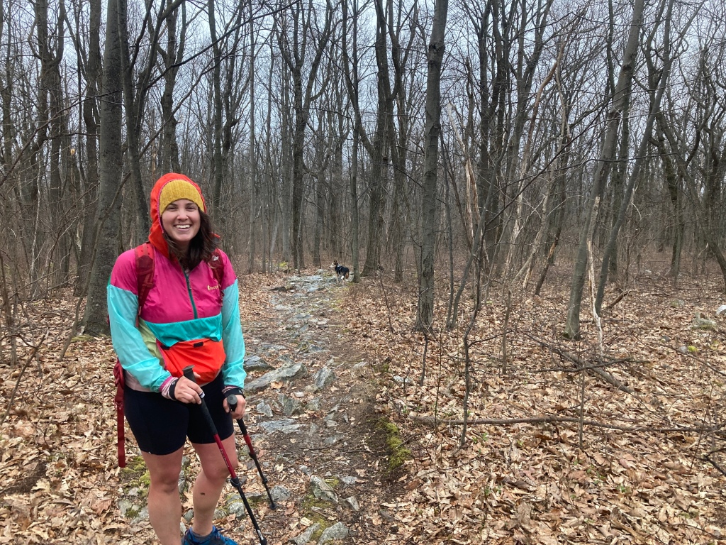
I saw a bright sleeve through the trees coming my way up the hill from town. What was this day hiker doing, hiking up into the rain? I dispensed my standard hello when they came into view. Then I saw the dog. It looked familiar. Wait, I know that dog. He looked at me, sharing my confusion. Then I looked at the hiker again, who was patiently waiting for my recognition to sink in. It was none other than SpiceRack and Tango, the love of my life and our dog. Whaaaaa?

We hugged. We kissed. I was self-conscious of my dripping nose and stinky clothes, but she didn’t seem to mind. Tango bounced around and I felt his little paws reach up my thigh. Ohio, as I learned after we switched packs, had gone faster than expected, so Spice decided to track me down a few days early for a surprise. I was certainly surprised, no doubt about it. Her voice sounded a little bit different in person after months of only speaking remotely, but it was her alright.
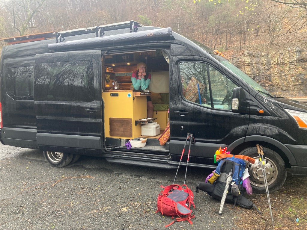
We tumbled down the steep trail, across a train yard, and into Port Clinton. It was a small strip of a town, from the coal mining days, and had its charm, even in the icy rain. At the trailhead, we piled into Blackbird, our home on wheels, and I was instantly transported back to Portland (Oregon), the last place that I had seen any of these things or people, many moons ago.

The rain intensified, but I was warm as Spice fed me yummy hot things, from kitchen to couch with the swoop of an arm. After filling up, we drove the short distance to the town park to make my original rendezvous with my Aunt Karen, who drove a couple hours just to see me. She got more than she bargained for, with a tour of the van and her first visit with Spice added to the itinerary. The reconnect was nourishing down to my roots. With a significant portion of my extended family residing in this state, kept distant for most of my life by geography and practicalities, it was eye-opening to feel a deep connection with someone I would say that I barely knew. As she drove away, I couldn’t help thinking that this had been just a toe in the ocean, and that I would take the plunge before heading west for good, after all this hiking business, in many months.

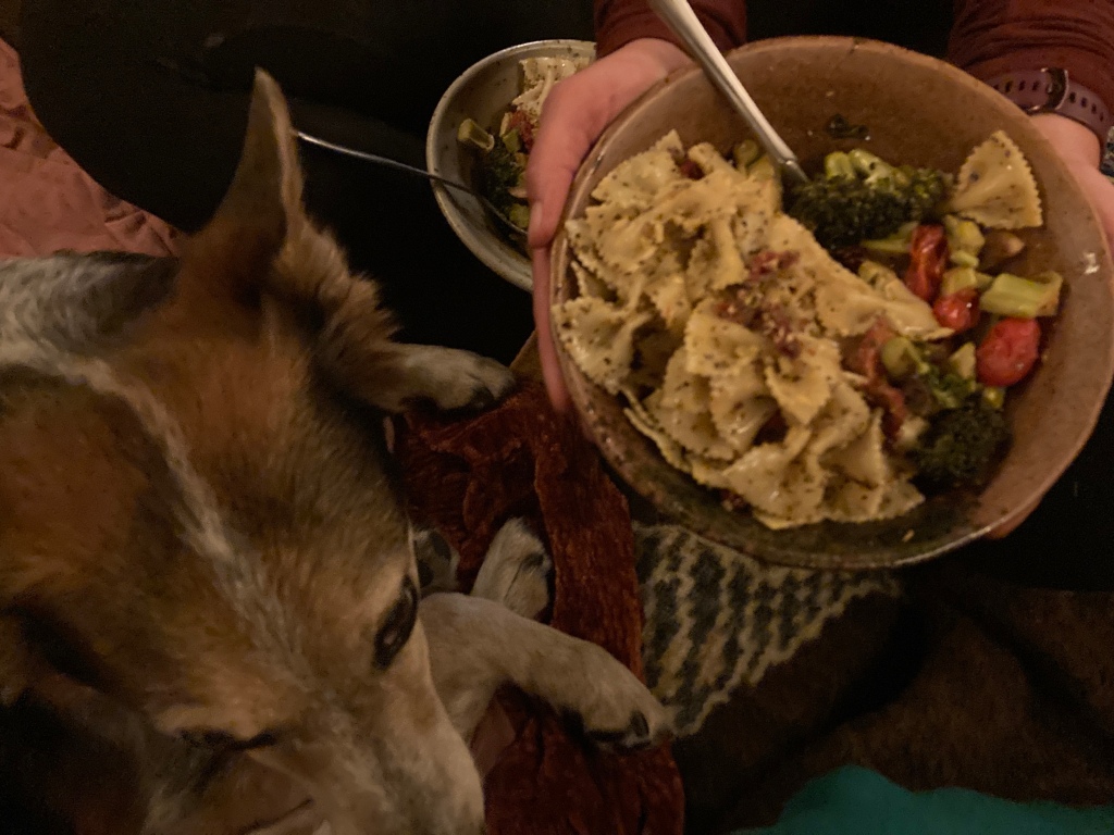
Spice drove us to Walmart to gather some groceries, then she cooked up a storm back at the trailhead. I lay in bed, watching the kitchen whir at my feet, petting Tango who snoozed without a care in the world and a belly full of hoagie meat (he says thank you, Karen). The rain lashed the windows, sometimes turning to pelting sleet. I could not have been more grateful for SpiceRack and our van. The town pavilion would have been a fine place to spend the night, but it was warmer here.
Full belly, full heart, I snuggled deep under the covers, still sticky with the trail, but in my city clothes now, sharing a bed for the first time in a while. The trail was just yards to my right, yet felt a world away. Those rocks, those questions about why hike on the trail at all, were still there, but in a distant, academic sense. The highway rumbled, my belly gurgled, and the rain smacked. Sleep came for me, and I didn’t resist.
This post was originally published on my blog hikefordays.com. Check it out for trip reports from my other hikes including the CDT and Sierra High Route.
This website contains affiliate links, which means The Trek may receive a percentage of any product or service you purchase using the links in the articles or advertisements. The buyer pays the same price as they would otherwise, and your purchase helps to support The Trek's ongoing goal to serve you quality backpacking advice and information. Thanks for your support!
To learn more, please visit the About This Site page.


Comments 2
Silly question but Dying to know what app art the using that readily shows elevation gain and loss? Guthook (FarOut would someone email me
Those rocks just southbound of Port Clinton are no joke! My brother and I got the pleasure(?) of experiencing them under 3 inches of snow the day of the Super Bowl. Great little bar in town, too. Not too long left in the rocky state, good luck!