
 ">
Davenport Gap TN to Erwin TN (May 1-6)
May 1.
Today’s hiking began with a climb up to Snowbird Mountain, a summit with a large radio frequency type of device within a fence. Specifically, this was some kind of FAA VORTAC array, or navigational aid for pilots. The climb was several thousand feet, but I felt pretty good after having had an evening’s rest in town.
A fence stood at the summit, with warning signs about trespassing. A bulging reusable grocery bag was tied to the fence.
I walked over to the fence, wondering if someone had left treats in the bag for hikers, as sometimes happens. Unfortunately, instead, someone had left a bag full of trash, smelling strongly of food waste. It was only yesterday that I’d read a posted sign about a local bear that had to be euthanized because it became aggressive after learning to associate humans with the food waste they’d been leaving along the trail. I put the bulky bag in my backpack to pack out and grumbled internally about immaturity and laziness.
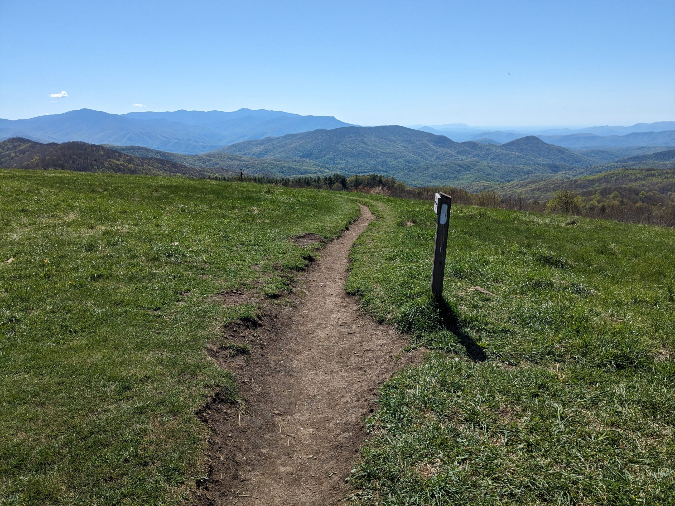
The afternoon was spent climbing up to Max Patch. I finished the climb with a hiker named Happy Guy. We both couldn’t believe our luck with the weather conditions- breezy enough to keep gnats away and sunny enough to stay warm. Max Patch offers incredible 360 degree views, which I remembered from before, but even on the second visit the views were stunning. One of the best views along the entire AT, I’d have to say.
After eating, chatting and looking, I started hiking again. The trail mostly descended the next six miles, then ascended one final climb before reaching Walnut Mountain Shelter.
I camped near the shelter, on a flat site on a hillside.
May 2.
Around 0130 I woke to rustling sounds and overturning logs on the hillside below me. I stood up out of my tent and looked downhill with my headlight, illuminating a black mass and two eyes reflecting back at me. I hoped that seeing a standing human would be enough to encourage the bear to move elsewhere, but it continued rustling around on the hillside over the next few hours, intermittently. It wasn’t a restful night, as I wanted to prepare myself to make noise and throw rocks in that direction if it started to approach my tent, and felt I had to stay at the ready for that possibility! I also heard mice rustling around my pack, which lay nearby outside my tent, and kept shifting in my tent frequently, hoping that would scare them off.
My one comfort was that many hikers slept nearby, often snoring loudly or tossing and turning in their tents. I certainly wasn’t alone.
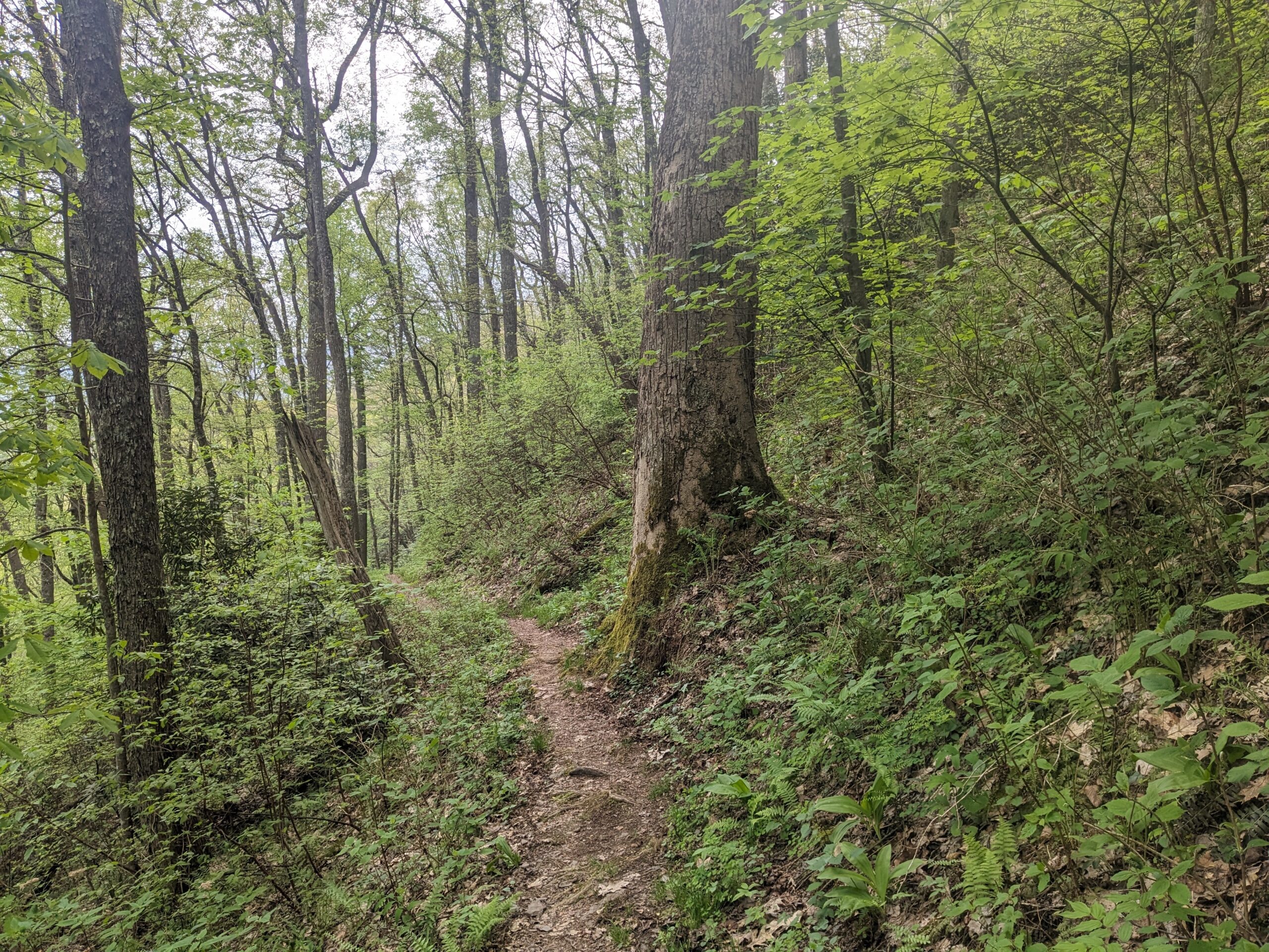
I started hiking early in the morning, ready to put the night behind me. The forest had been particularly lush and beautiful, with large trees, the past few days. The birds seemed happy, with many different songs being sung and overlapping each other in a big jamboree.
It was a hot day, up to 86 degrees in the valley of Hot Springs, a town 15 miles further up the trail. As always, it would take time to adapt to the heat and humidity. After taking a break in the morning to call home and catch up, I struggled through a haze of heat most of the way to town. I felt tired and slower than I had thus far on this trip.
After hours of struggling, passing a few other trudging hikers, I finally made it down to Hot Springs. I walked to the diner and had my first solid food since the morning- I had been too hot to eat anything. A hearty chicken sandwich and a huge mason jar of coke revived me.
Hot Springs is a particularly hiker friendly town, with a population of less than 600, and the AT running literally through town on the main street. It is a small town with everything a hiker could need: a diner, Dollar General, a few hostels, a library and the French Broad River flowing on the edge of town.
After eating a late lunch, I started on town chores, stopping by the library, dumping my bag of trash, putting the two novels I’d been carrying in the little free library along Main Street. It felt good to get rid of these extra items.
I stayed at Laughing Heart Hostel that night, a hostel that offers a beautiful wide expanse of lawn for camping, a chapel building with bathrooms, and a huge lodge with an old, charming look, outlined with stringed lights at night. Adirondack chairs on the lawn, a fire ring, the mountains in the background. Apparently the property has passed through a few hands, at one time being a Jesuit House of Prayer. An AT hiker bought it in 2021 with her husband, and currently runs it.
I felt overwhelmed by the number of hikers staying there, but appreciated the property layout. It was also comforting to sleep on a hostel lawn that night, after the bear sighting the night before. I slept well that night.
May 3.
I woke early and packed up in the dark. I took one last look around at the pretty grassy area and the lodge illuminated by the lights, then headed down the road to the Hot Springs Diner.
It was just retired local men and me in there around 0630. As usual, the staff were really nice to me. I asked for a Ziploc baggie for my leftover potatoes when I left, and the waitress didn’t make me feel weird about making that special request.
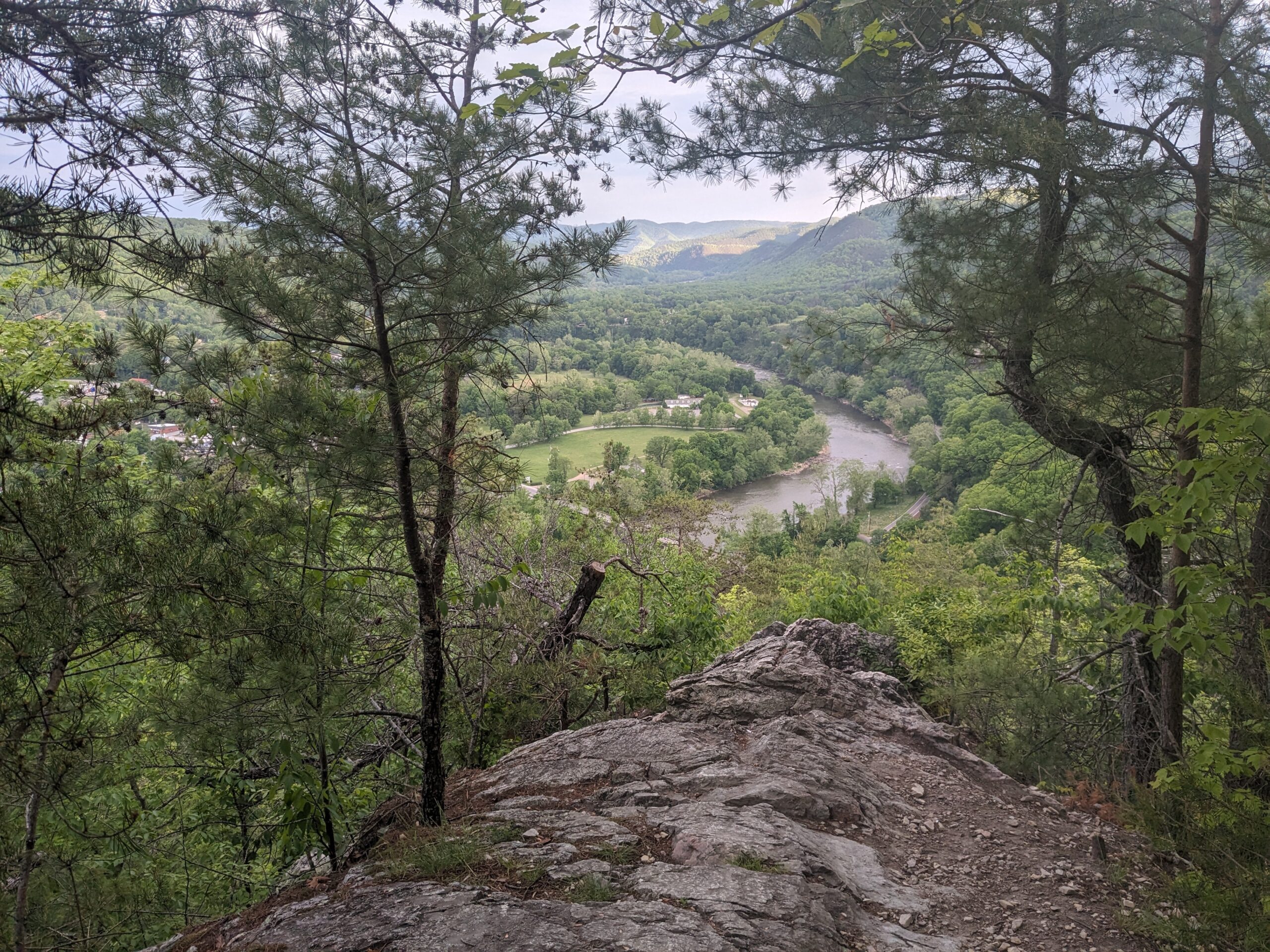
I hiked up to Lovers Leap. Hiking out of Hot Springs was a flat quick hike along the pretty French Broad River, then a steep climb up along rocky cliffs, to an overlook above Hot Springs.
The forest seemed expectant in the morning, tingling in the light breeze, all the leaves shivering, waiting for rain on a cloudy day. All day alternated either between complete stillness and that shivering expectancy. The breeze was nice to hike in.
I found that I couldn’t remember much about this stretch of trail. It was nice to hike along without any expectations for what was ahead.
I hiked on, eating pepperoni and cheese tortillas here and there. I made it to Laurel Springs Shelter, my goal for the day. I set up my tent, then ate at the picnic table and chatted with two section hikers and an AT hiker.
May 4.
I knew the weather forecast was calling for a rainy day, most likely starting around noon with thunderstorms, and then likely rain through the evening. The next several days were like that- calling for showers.
It was rainy here and there overnight. I slept in a bit, feeling that I could use the rest after a big 20 mile day yesterday. I got up to get my food bag from the bear box, then came back and ate in my tent before I got started, in case I was in for a rainy morning.
Shortly after starting the day’s hiking, I heard howling above me on a mountain that sounded like a coyote, but somehow “off”, like an imitation. It was eerie on a misty morning. I got out my mace, thinking it was unlike a coyote to howl like that, close to people in daylight. I used Google maps to check where I was, and realized that there was a road above me on the mountain and an overlook- Viking Mountain Overlook. I guess a man or two up there felt like howling like a dog that morning.
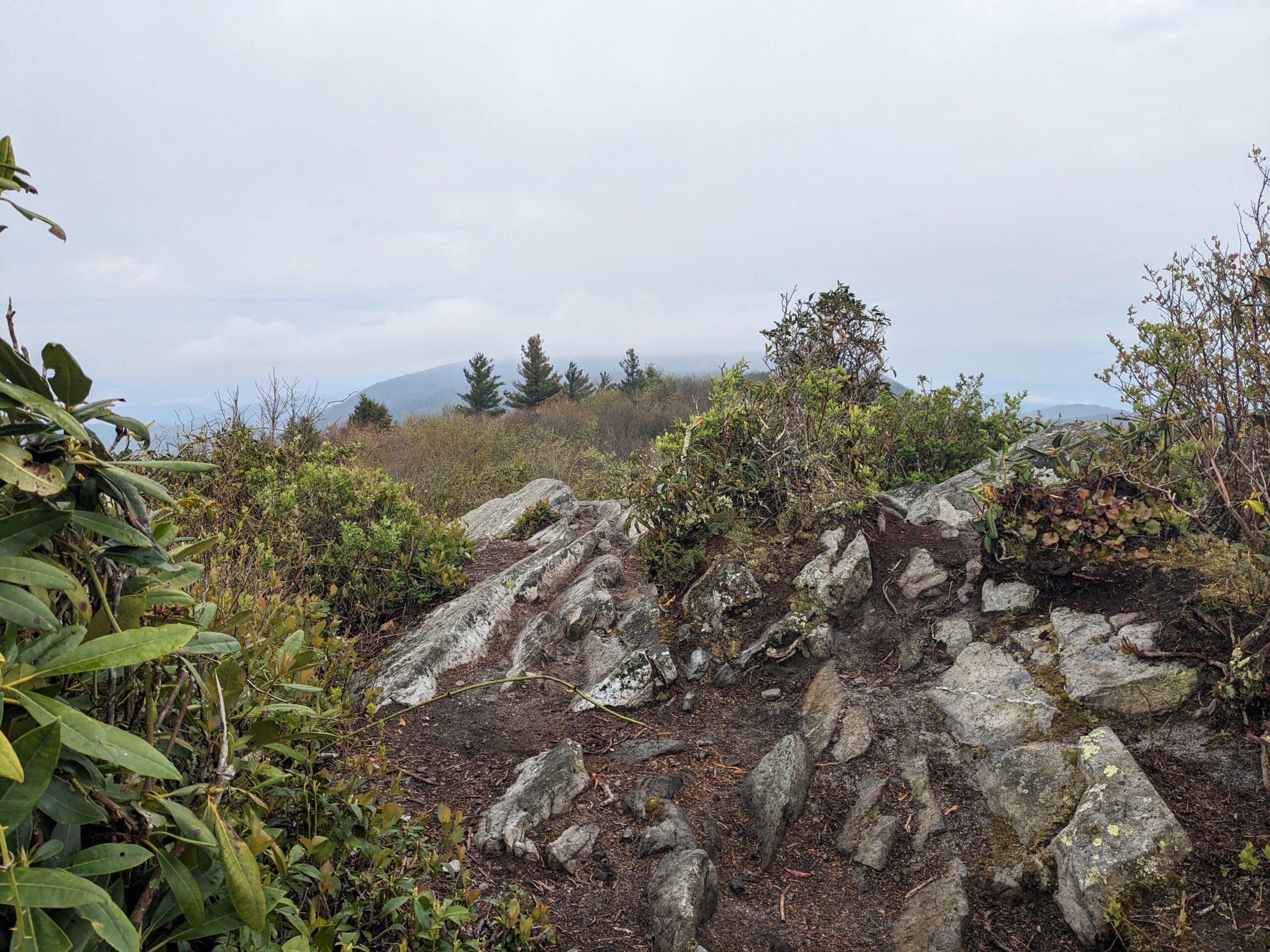
I hiked over Blackstaff Cliffs, which was a rocky section of trail that was more technical than usual, requiring climbing and careful navigation. The cliffs offered views from a ridgeline of the valley on either side- some towns on the TN side and some more mountains on the NC side.
It started to rain around noon, a shower that lasted a few hours, then subsided. I was able to each lunch at a shelter as the rain fell. Skies remained cloudy.
I hiked for a few hours, then decided to break at the next camp site I saw, as rain approached. I set up my tent so I could relax in the dry. Different days call for different strategies…it was too early to stop for the day, but at least I could stop for a rest before continuing on.
It started raining as I set up my tent, and everything got muddy and wet. Oh well, I guessed it would dry another day. I blew up my inflatable pad, then relaxed a while. I’d adjusted to the inflatable pad and loved it- for one thing, it kept me up off the wet floor of the tent in moments like this.
After resting for over an hour in the tent, I packed all my soggy gear up. It was raining lightly as I packed. When I had everything all packed up in my bag again I was kind of amazed, thinking how it’s possible for your tent to get wet but you can still carry on and pack it up, hike to a new camp site, set it up wet, maybe it rains again, but you can survive in your damp shelter.
I hiked up two mountains, the final one of the day leading up to Hogback Ridge Shelter. I kept impatiently checking the mileage. It felt like the small ascents up the ridge just kept appearing.
There were a lot of people tenting around the shelter. It was a Saturday. I didn’t really mind- I found a spot for my tent. I just wished it hadn’t started raining again so I could cook ramen. Instead I ate dry snacks in my tent. Maybe ramen tomorrow.
May 5.
I woke around 0600 and soon started packing up. I heard rummaging around from a few tents around me as others woke.
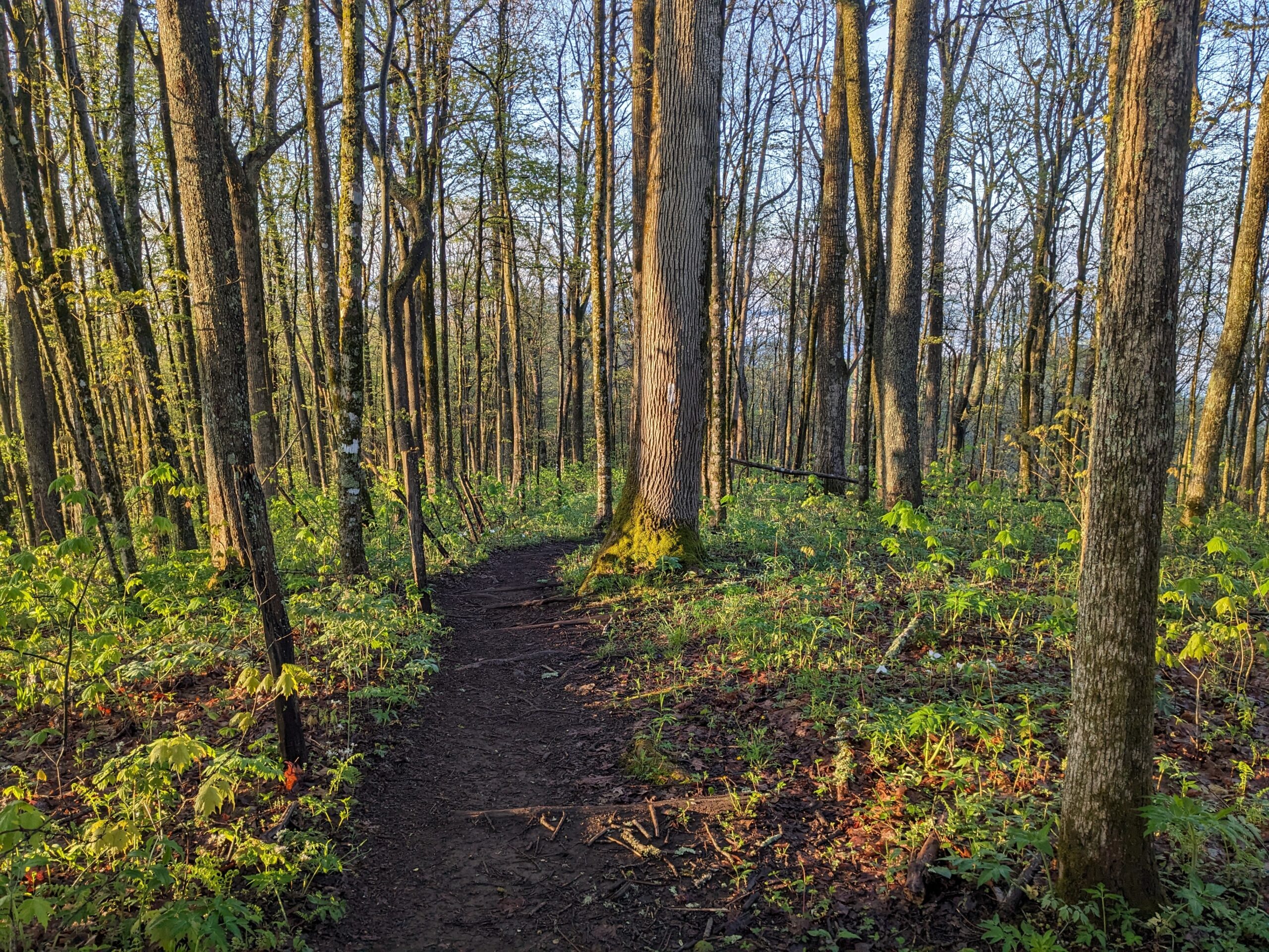
I started hiking and hiked up the first climb before sitting on a log to make breakfast- Carnation powder hot chocolate and a bar. I was really happy to see the sun appearing and spreading sunlight.
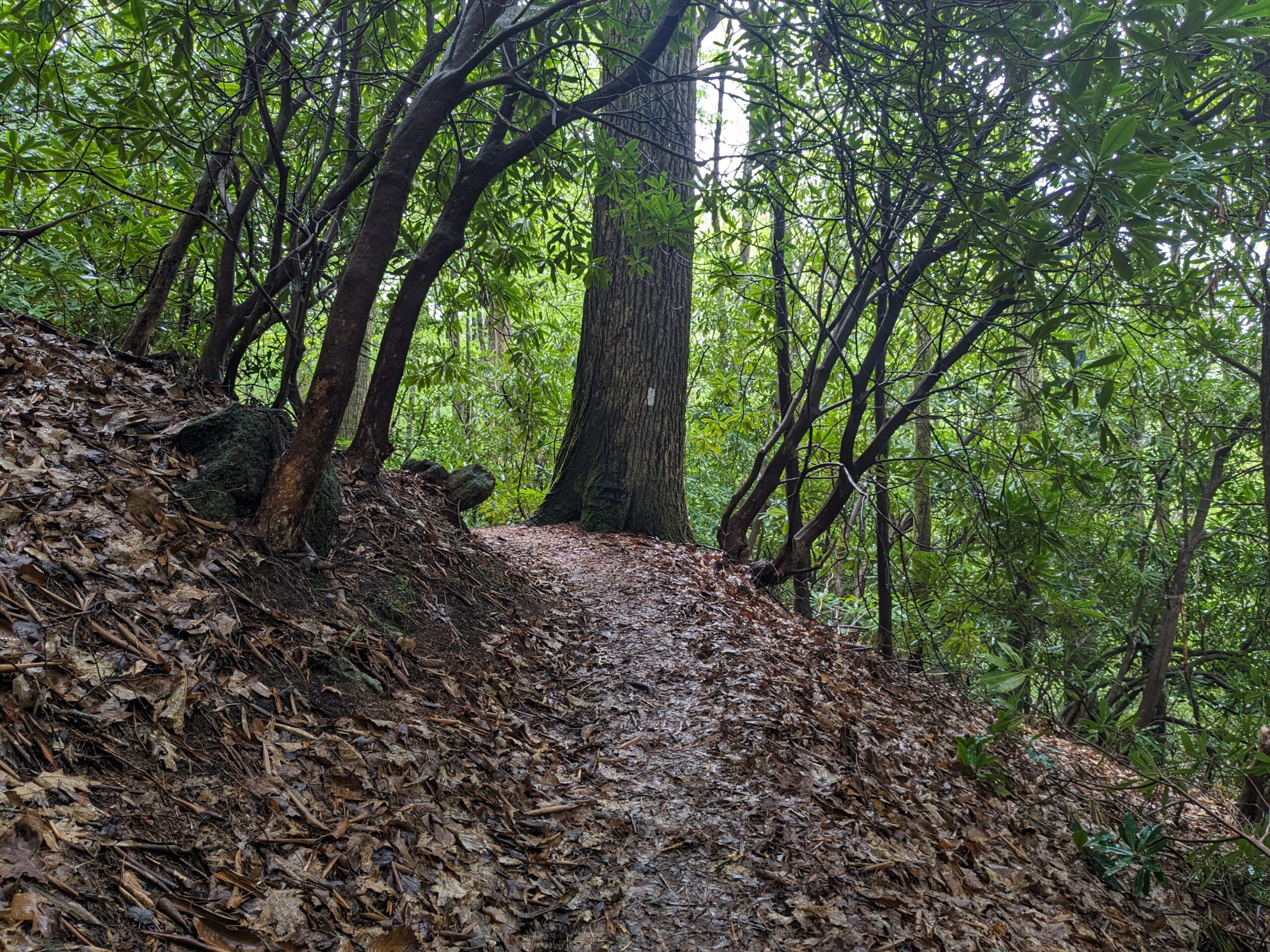
The forest was very pretty- moist and lush after the rain yesterday and overnight. Each day the foliage filled out more. I noticed fringed phacelia, squirrel corn, mayapples, trilliums, aster, Solomon’s plume, ferns, and yellow buckeye saplings everywhere.
I hiked up some moderate climbs, gentle grades and descents before ascending to the summit of Big Bald. The view was pretty up there with dark clouds rolling in from one side. Lots of pretty mountains in the view. I also could see buildings and a resort nearby, but that was somewhat obscured within the trees.
I hiked over to Little Bald, then to the nearby shelter. I tried to dry my tent at the shelter, but it was too cloudy. I ate lunch at the picnic table there.
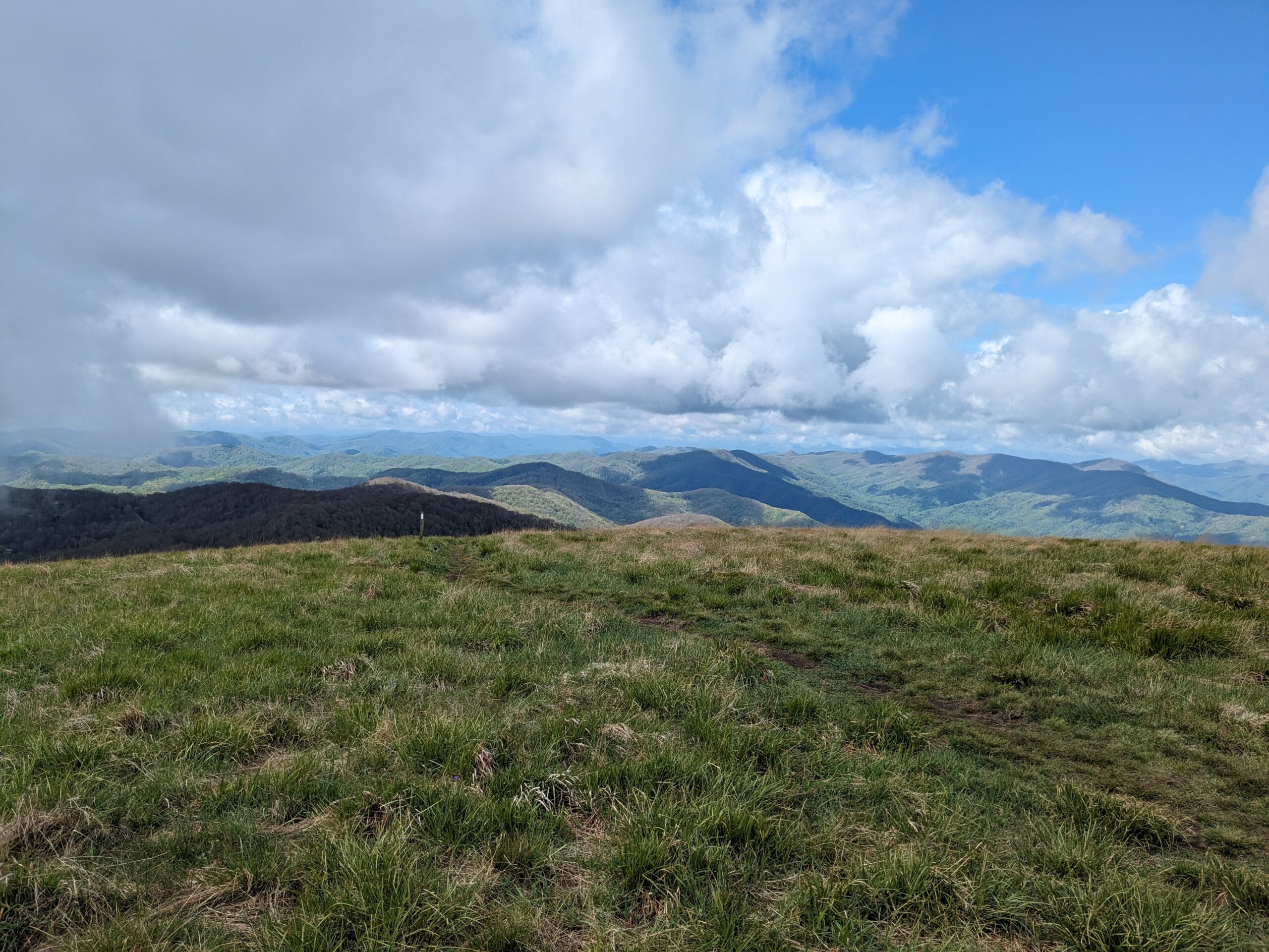
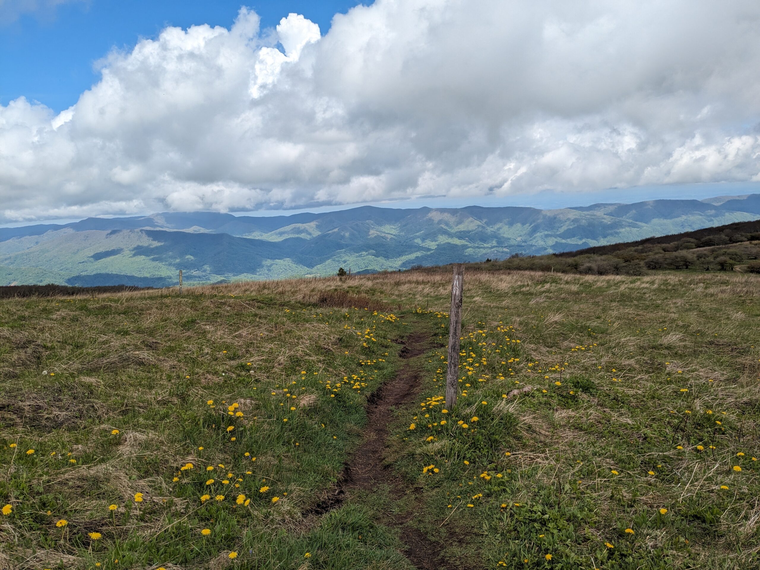
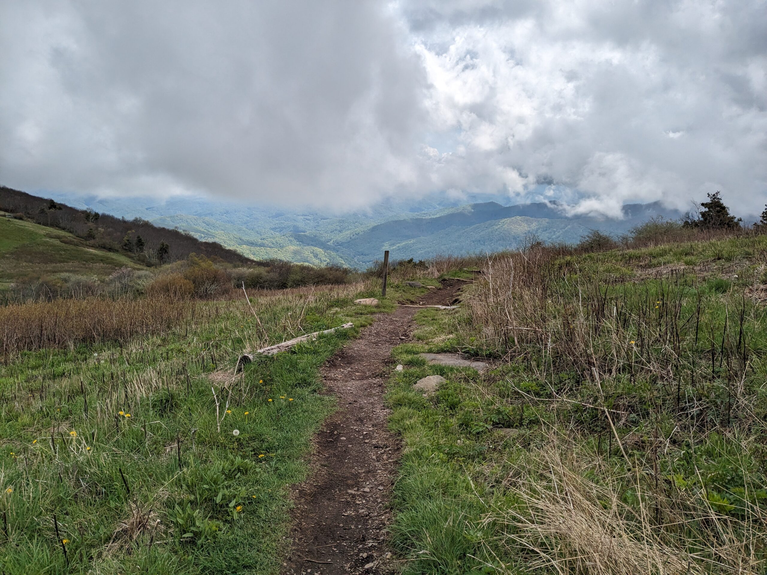
A hiker I had been seeing the last few days, Thomas, caught up to me and hiked with me for the next few miles. We had been starting and ending our days at the same shelters the past few days, but I often arrived after he had settled into his tent for the night.
He told me about starting the PCT earlier this year, arriving to the snowy Sierras too early, and coming to the AT to hike for a section while waiting for the snow to melt. It was fun to talk about the PCT and hear more of his story. We hiked several miles together, then I said I needed to take a break. I saw a nice camp site. It started to rain lightly, so I set up my tent. This was getting to be a habit! I needed the afternoon breaks, even if it was a rainy afternoon.
It rained from 3-4:45p, and I felt fortunate that I could wait out the rain all that time, and still make it to the shelter ahead. One rain was a hard downpour and my tent leaked a bit, but then it started to taper off.
I was doing what I could to flow with the rainy conditions.
May 6.
I slept well, then woke as some early risers started packing up. I started packing up too.
I hiked along and stopped soon to take an extra layer off. The forest was damp but it wasn’t currently raining. It was only a 6 mile walk into Erwin TN. It was supposed to be easy, and mostly was, but there were definitely some final climbs interspersed in those miles. Sometimes looking at the elevation profile ahead of time and assuming it will be easy hiking, makes the hiking tougher. Any rise on the way of what appeared by map to be steady descent makes you grumpy.
Eventually I walked out of the forest onto a road, and Uncle Johnny’s hostel was right there. I went to the front porch and started reading the signs.
I started doing my typical tasks, like throwing out trash. Thomas showed up and said about my block of cheese, “Woah, did you just find that?” We laughed and laughed. He said, “I was like, I guess I’m going to have to up my game, that’s pretty bold.”. He thought I got it from the hiker box, a box that hostels have where hikers donate things they can’t use, items that range in desirability from quality to useless. In fact, it was just my own leftover cheese I hadn’t finished yet.
I paid for a tent spot, then caught the shuttle into town. I ate at the small cafe, wrote a blog post at the library, watched the rain fall from inside the library, felt satisfied that I was indoors, then walked to the grocery store under clearer skies.
The day continued with ongoing hiker chores, meeting hikers here and there in town and at the hostel, dinner, and sleeping in my tent to the patter of yet more rain.
Franklin NC to Erwin TN: The things that stuck out in this section were frequent rain, Max Patch, a bear sighting, the town of Hot Springs, and Big and Little Bald.

This website contains affiliate links, which means The Trek may receive a percentage of any product or service you purchase using the links in the articles or advertisements. The buyer pays the same price as they would otherwise, and your purchase helps to support The Trek's ongoing goal to serve you quality backpacking advice and information. Thanks for your support!
To learn more, please visit the About This Site page.

Comments 2
Enjoying your blog. I think you meant “Davenport gap/I-40 to Erwin TN.” The flight obelisk thing is right after Davenport/I40 heading NOBO.
I just did the section a few weeks ago 5/14-5/18. Rained on me basically every single day.
Also- Hot Springs- everything a hiker could want including an outfitter. It saved me as I had a carbon pole break on the descent into town.
Thanks for sharing!
Thank you for reading closely enough to catch that. You’re right- it was Davenport Gap to Erwin, TN.