
 ">

Greylock and Crossing into Vermont (ECT Day 177)
- Hiked Today: 19.6 miles
- Cheshire Dunkin’ Alt. (0.8 mile)
- Appalachian Trail (1,585.6 – 1,604.4)
- Total Hiked: 3,537.1 miles
- Total Paddled: 99.5 miles
Weather: overcast, 68 – 82°F, overcast, turning to a mix of sun and clouds, light breeze, extreme humidity
Elevation: 629 – 3,489 feet
Father Tom Campsite to Sunlit Trees Spot
I’ve been waking up earlier the past few days, between 5:00 am and 5:10 am. So it’s not surprising I was the first to leave Father Tom’s campsite. And I kicked the day off with a small alternate through town. I wanted to visit Dunkin’ before leaving haha. The folks working the counter were peppy and cheerful despite the credit card machine acting up. Eating/drinking in, I did hear one of them say he was on his third cup of coffee already. Makes sense, I suppose.
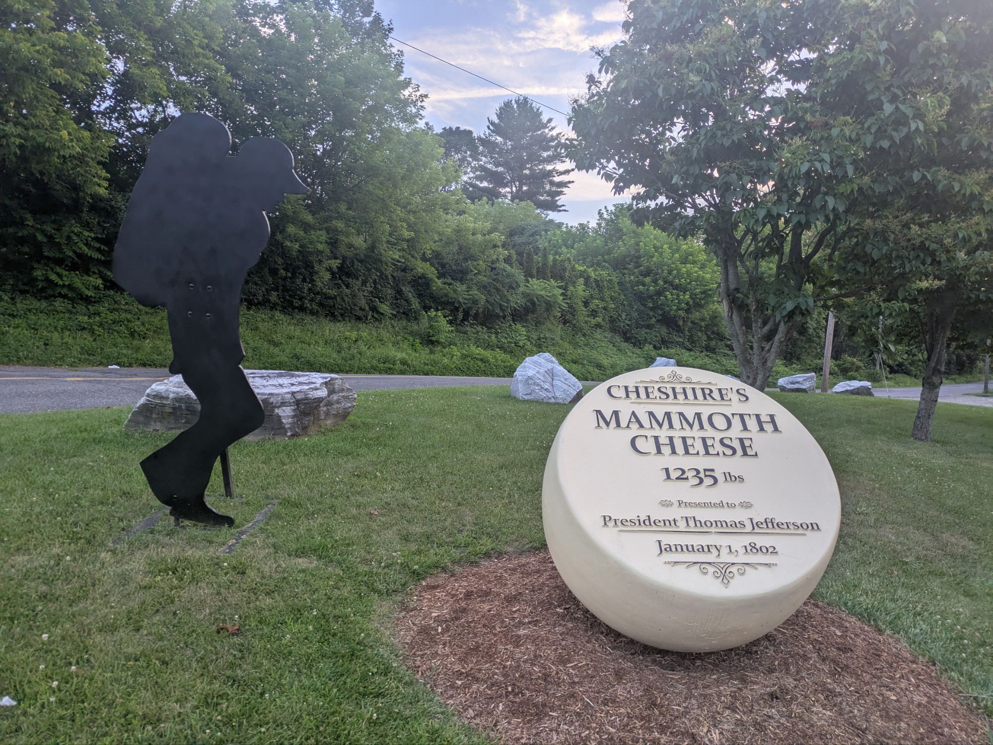
At 6:50 am, I was hiking again and at 6:53 am I was back on the AT heading away from the road and up single track trail. The mosquitos welcomed me back.


This forest reminded me of some of the high elevation ones in the southern parts of trail.
My pack was noticeably heavy, very hulk-like now filled with 5 days of food. For my next section, I am hoping to cover 124 miles to reach access to Rutland, Vermont. I schemed to do this over 5 full days + a morning. I haven’t done a stretch this long on the AT in a while (or maybe at all on the AT?). And based on my research, it looks like it’s kind of stepping up the elevation change per day too. So why?
There’s not usually a need to go such a distance on the AT without resupplying. This time too, there are options to get into other towns, but this is the plan that made the most sense in my brain. I’m sure I’ll regret the idea now that I’m on trail hauling all the weight, but whatevs.

Boardwalks through the wetland areas are becoming more and more common.
My “new” shoes felt as though I was wearing moccasins, light as a feather. In fact, I was moving up the trail so easily in them I wondered if maybe Brooks had a done a secret merger or collab. with P.F. Flyers… “Shoes guaranteed to make a kid run faster and jump higher,” according to The Sandlot’s, Scotty “Smalls,” anyways. Seriously, they felt so light compared to the big clunkers I had before.

I had built up the uphill in my mind for this section leaving town. Cheshire is about 1,000 feet elevation and Mount Greylock is just shy of 3,500 feet.

This is the tower/war memorial atop My. Greylock


That’s Bascom Lodge, unfortunately not open the day I came through.


The trail leads ever onward.
Despite a relatively shorter day mileage-wise (as compared to what I have planned for the days that follow), the elevation ascent today was greater than 5,000 feet. That’s still not anything super out of the ordinary, it’s just that the trail hasn’t been that way for some time. I’m getting back into some serious climbs again. All that being said, it really wasn’t bad.
Leaving Greylock the mountain I headed down to Greylock the town…

And I found some trail magic. There was a picnic table nearby and I had lunch with a few extra goodies 😊


A bad photo, but this is the Hoosic River
Getting out of town, the last step was up this driveway and into the woods. Silly AT.

A few nice scenes left in Massachusetts, before heading into the next state…


And then, in the late afternoon, I found my way into Vermont and was greeted by a big wooden sign…


Vermont kicked things off with a lot of lush greenery, mainly moss…


I was tired at the end of the day, but I also got in to camp around 4:30 pm, which I was stoked about. Before finding camp, I met Gravity who’s 69 years old and is hiking The Long Trail with another guy called Topo. They’re both triple crowners. It was great talking with him and I hope I bump into him again. The AT and The Long Trail coincide with one another for about 100 miles or so.
Mosquitos started to swarm midway through dinner. But my tent is a sanctuary and I love it. I do have a confession though. I still have not mastered the setup, particularly aligning it to the direction I want. With my old Tiger Wall, it’s easy. And it’s easy to get close with the Durston, but for some reason I’m always slightly off. I realize this doesn’t make any sense to y’all unless you have one yourself. Maybe I can try to demonstrate some night.

I packed these out from the trail magic earlier in the day. Did not realize they were spicy! Anything with flames on it is not a good idea for me. But I persevered.

Vermont view from my tent.
Thanks for joining on the journey! It means a lot that you took the time to read up on these adventures. If you’ve been enjoying the blog and also want to help kids get access to the outdoors, please help me in supporting Outdoors Empowerment Network!
The “Tip Author” button is a direct link to my fundraising page. I hope to raise $2 for every mile I hike on the ECT, so around $12,000. I’m amazed at all the love poured out for this great cause. Y’all are truly amazing. Thank you!

This website contains affiliate links, which means The Trek may receive a percentage of any product or service you purchase using the links in the articles or advertisements. The buyer pays the same price as they would otherwise, and your purchase helps to support The Trek's ongoing goal to serve you quality backpacking advice and information. Thanks for your support!
To learn more, please visit the About This Site page.

Comments 5
Yay! Vermont! Vermont New Hampshire & Maine I haven’t been to yet but someday I hope to see those states! Have fun & you’re pictures are great to see!!
Great work Steve! Enjoying the greenery and small towns you’re popping through.
Steve, are you answering DMs in your Instagram account? I have a message I would prefer to keep private. If not through Instagram, is there another way I can message you privately? Thanks!
Happy trails,
Jonathan
Love the moss closeup!
I feel the Durston pain! I have to put down my tyvek and lie down to get the right position (like Goldilocks😂) and then pitch the tent in the needed orientation. It is so weird having to factor the offset! lol