
 ">

IAT Gaspésie National Park: Part 2 (ECT Day 234)
- Hiked Today: 17.9 miles
- International AT: Quebec (205.9-223.8)
- Total Hiked: 4,530.6 miles
- Total Paddled: 191.2 miles
Weather: 55 – 68°F, mostly sunny, some big clouds around
Elevation Range: 689 – 3314 feet
Lake Cascapédia Campground to Mont-Albert Discovery Center
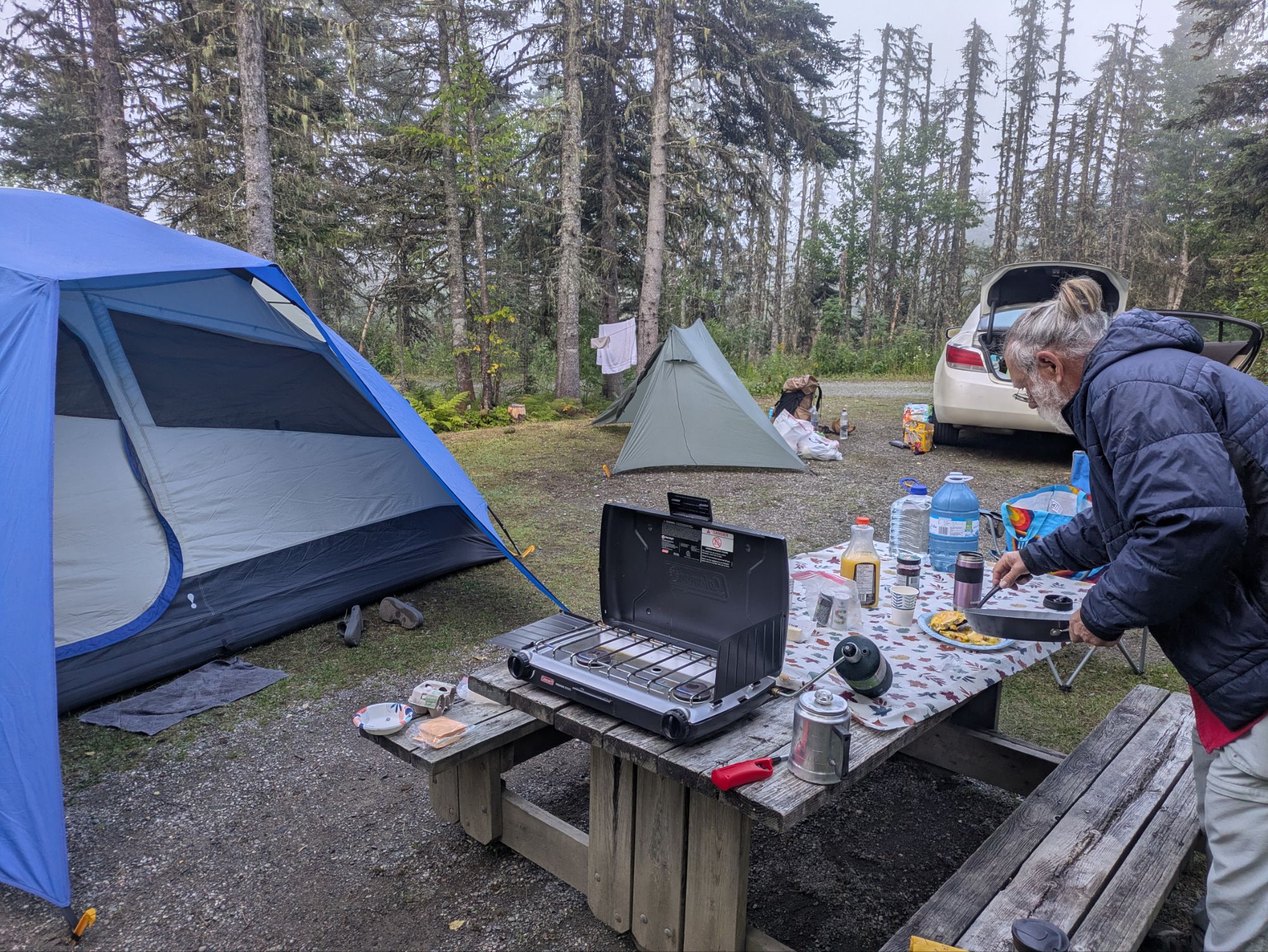
Before starting the hike today, I was treated to scrambled eggs with peppers and onions and coffee with the team. It was great! Then I was able to start hiking leaving right from the site. Our plan was to reunite at the end of the day at another campground where the trail crosses Highway 299.
 It went quick getting out of the campground and in no time I was hiking through forest again. The first stretch was about 2.5 miles to gain approximately 1,500 feet and reach the top of 3,248 feet Mont Ells.


Lake Alain-Potvin
Once up there, I got some cell service and a view through the trees of Lake Cascapédia. I think I reached my phone up above my head to snap the photo below. I took a nice long break catching up on some phone things before continuing onwards.

Getting going again, I found my way to 3,117 feet Mont Du Milieu.


 Going down there were still some views, but it was lots of forest walking.


Around 1:00 pm I stopped for a quick lunch. Then, things switched on me. The other side of the stream that I had been eating near was a whole different world. Instead of the thick first I’d been going through, things opened right up. And I started seeing a light tannish-pinkish-orangish-brown bedrock for the first time.


This one shows the tree-covered landscape I had been walking through from the standpoint of the new openness I was entering.

For some reason, rhyolite came to my very ill-informed and amateur geologist brain. Later I’d try to look it up and as best as I can tell it’s serpentine. This threw me off because my memory of serpentine was that it was primarily a dark greenish rock. Apparently, this stuff by Mont Albert is orange though 🤷.
At first, the trail stayed along the edge of the divide and I could observe the opposing landscapes. Then, I went right up into the alpine zone and it was very unique feeling. It truly was remarkable and although I tried for y’all, feel I still struggled at getting photos or videos that get the feel across. Guess you’ll all have to make a pilgrimage to Gaspésie…

The overall terrain was very flat going through here. And moss seemed to be the dominant ground cover for most of it although it was a different kind of moss than the bright greens stuff in the forest. Here’s it almost seemed bleached white. I think that’s part of the reason for the particularly distinctive vibe of the area.
 I was going quite slow through here taking it all in. Some of the other vegetarian were scrubby pine trees (I took a few photos of the different varieties), short blueberry bushes, and grasses.


There were only a few of these kind of trees in the sparse open lands, but as I began to descend, this species grew the tallest and most abundant.


I’m not sure how long I was up on that flat plateau, maybe only a half hour or so of hiking, but it left a lasting impression. Nearing the “other side” of it, coming into view I saw a sort of deep canyon. And that’s where the trail was heading, down, down, down into the valley surrounded by stark orangish-colored cliffy mountains. Now, it was slow going not only because of me being captivated and snapping pics left and right, but also because it was some tough boulder hopping trail…


Hiking through this stretch, I got behind and leapfrogged a bit with some speedy hikers. There were actually a few different groups that seems like they wanted to race me. I was surprised. Even being motivated by trying to reach the highway at a decent time, these folks were outpacing me. The trail was still kind of bouldery too most of the way down. Finally, it leveled off and became pristine condition.


Lac du Diablo.


I met dad outside the Mont-Albert Centre de Découverte et de Services, a central visitor center type building, and that’s where I ended my hike for the day. Our timing for meeting was quite good, which was surprising since we were both late to what we’d earlier agreed upon. We were able to walk to the campsite they’d reserved, just a short ways away.
On the dinner menu were these delicious aluminum foil creations I grew up making during camping outings. Essentially, you pile a bunch of things inside aluminum foil like rice, chicken, veggies, and I think it’s cream of chicken soup that you smother overtop it all. Then, you wrap it tightly and place in the coals of the fire (or in our situation, charcoal) to heat up.
Maybe you’re thinking, “Wow! The Trailsman and Super Strider are tent campers extraordinaire.” They are, that’s for sure, but I should say that this is not a common thing for them in recent years. For most of my life my parents have been camper trailer/RV style campers, so already in just these two nights of tenting, it’s sort of felt like a return to our old school roots… a little more “roughing it,” than normal.


I had counted on this area crossing Highway 299 as a resupply stop. Originally, before I knew about the forming of our fellowship, I figured I’d need to hitchhike to the coastal town of Sainte-Anne-des-Monts to find a grocery store. At the campsite though, I found I could piece together enough food for the next two days with all the snacks and foods in the car.
After another small and short fire session, it was an early night to the tents. The whole crew was very tired. Ma and Pa had done some serious hikes during the day, and saw a moose and waterfalls and had a least one very steep section of trail. A good day all around though.

Thanks for joining on the journey! It means a lot that you took the time to read up on these adventures. I love spending time and connecting with the natural world and am super grateful for these experiences. Not everyone has the resources to do so though.
So, if you want to help ALL kids get access to the outdoors, a cause that means a lot to me, please help me in supporting Outdoors Empowered Network! The “Tip Author” button is a direct link to my fundraising page. You are truly amazing. Thank you.
This website contains affiliate links, which means The Trek may receive a percentage of any product or service you purchase using the links in the articles or advertisements. The buyer pays the same price as they would otherwise, and your purchase helps to support The Trek's ongoing goal to serve you quality backpacking advice and information. Thanks for your support!
To learn more, please visit the About This Site page.

Comments 3
Beautiful!
Your photos and videos, paired with your enthusiasm for the sights along the trail, are absolutely top-notch. I hope you know how much your readers enjoy and appreciate your blog!
Rem in VA echoing Jules kind words.