
 ">

IAT Gaspésie National Park: Part 3 (ECT Day 235)
- Hiked Today: 26.3 miles
- International AT: Quebec (223.8 – 241.3 & 245.3 – 250.2)
- R1110 Alt. (3.9 miles)
- Total Hiked: 4,556.9 miles
- Total Paddled: 191.2 miles
Weather: 55 – 70°F, mix sun and clouds
Elevation Range: 735 – 4,183 feet
Mont-Albert Discovery Center to Cabourons Shelter
I was up at 5:18 am. The alarm on my fancy Casio Illuminator watch went off two minutes later. Rather than enjoy a nice breakfast with the team, I told them I was going to get started early since I had a big day planned. Once again our campsite was very near to the trail, so I was able to just pack up and walk to the point where I’d stopped yesterday, outside the Mont-Albert Discovery Center.
Having gotten low in elevation ending the day yesterday, the morning’s hike was all about getting back up. And the goal would be getting above 4,000 feet elevation again! Thankfully, it was pretty gradual. The National Park trail has been refreshingly mellow compared to the unkind and jarring trail in Matane Wildlife Reserve.
Forty minutes into the hike I was stopped in my tracks. I heard a noise off to my left and saw a big cow moose looking at me. Then I heard another noise coming from the right and ahead. This one was a giant bull! Just massive. I was too close, but neither of them seemed concerned by my presence. Instead, they just kept munching on their leaves and occasionally looked over my way.
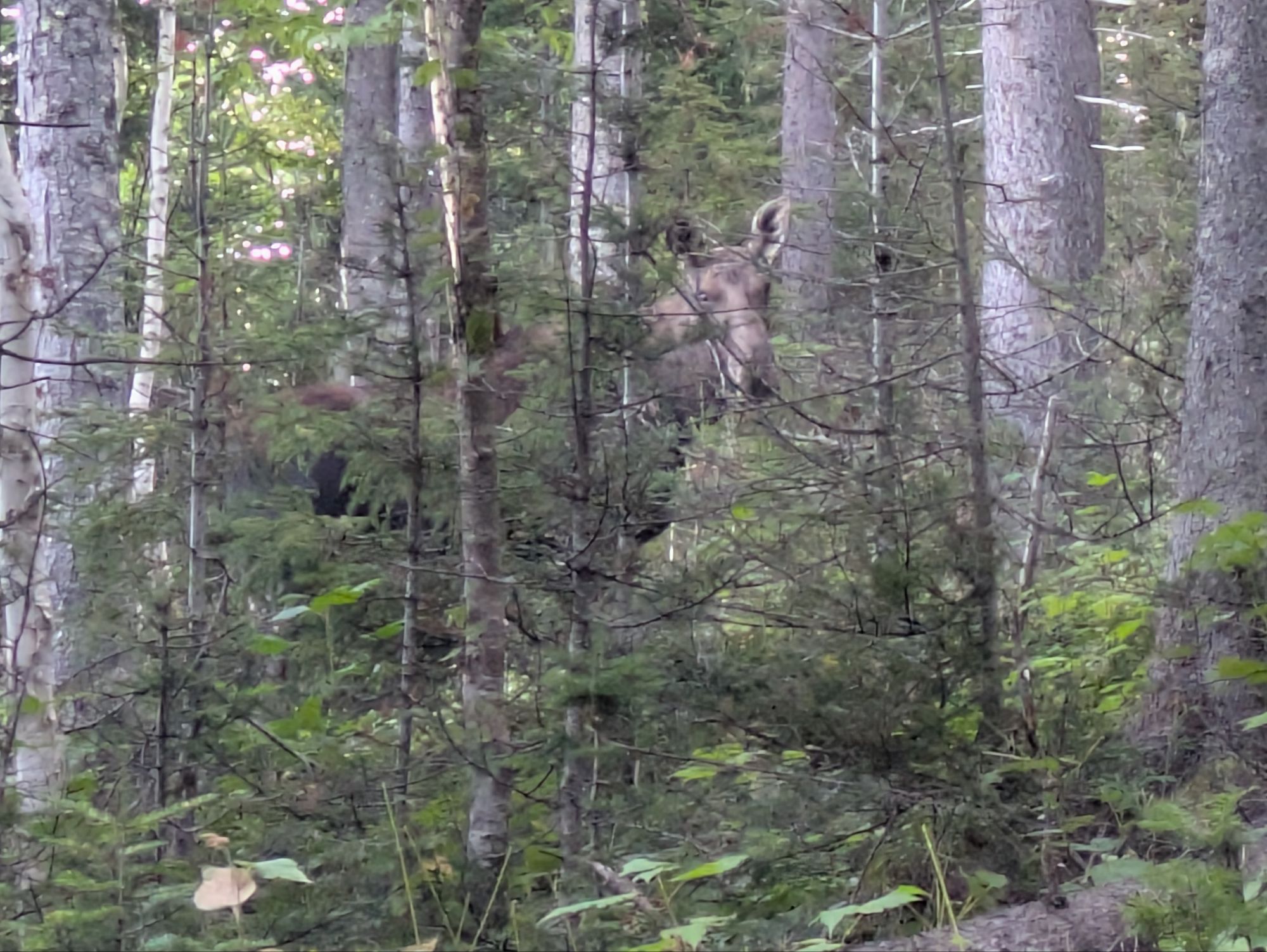 I backed up and made sure there was a nice sturdy tree nearby that I might duck behind in a last second worst case charging scenario. And then, I watched. The big guy moseyed right across the trail in front of me. And then, a young bull showed up. I thought surely Big Burly Ben would be upset with this whipper snapper getting between him and his lady, but nope, they all just kept eating. I think eating has to be 96.8% of the life of a moose. Not a bad life, eh?
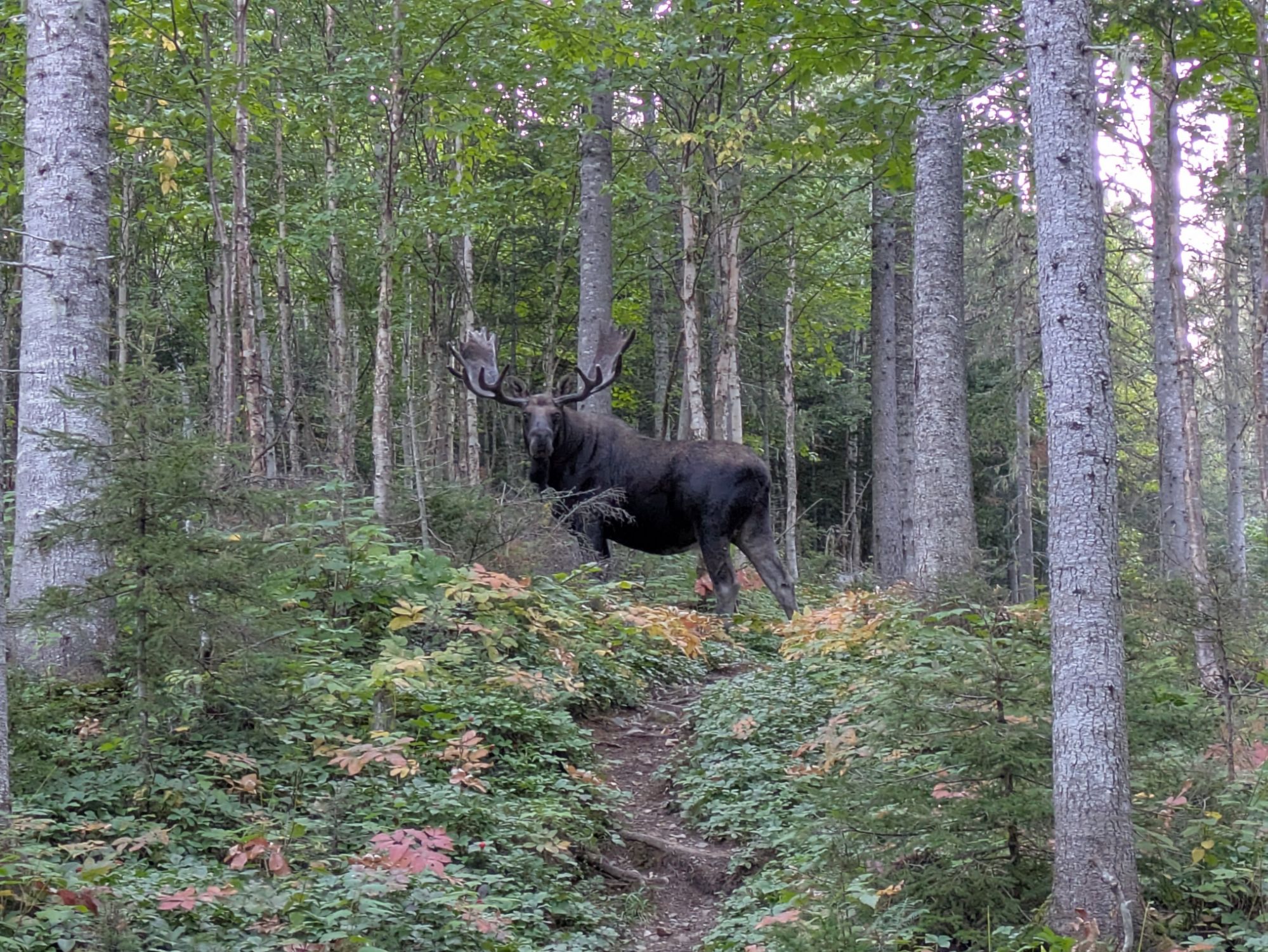 This was a very cool experience. Moose are my favorite animal and to see these giants just hanging about doing their thing was memorable.
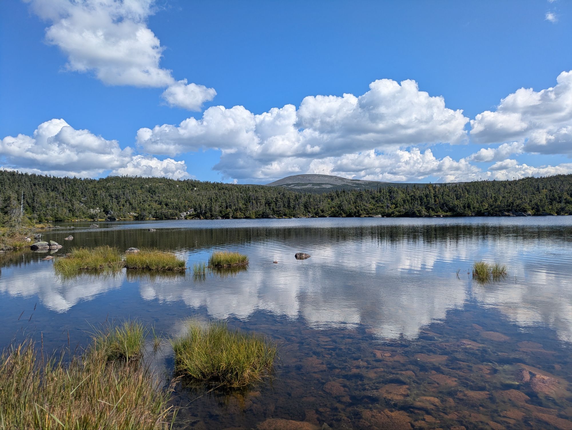
After that fun-filled experience, I continued on and made it to Lac Aux Americains.
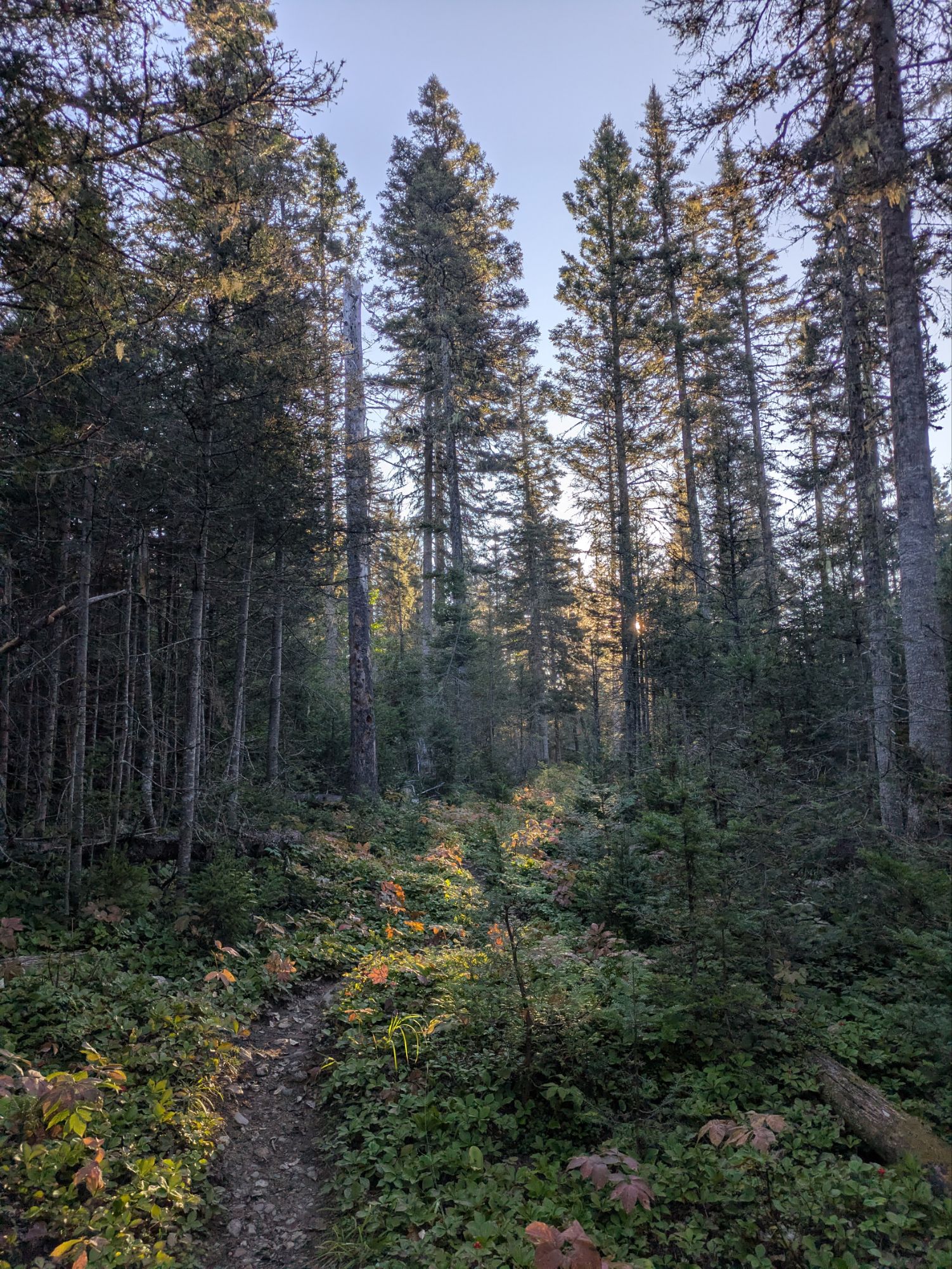
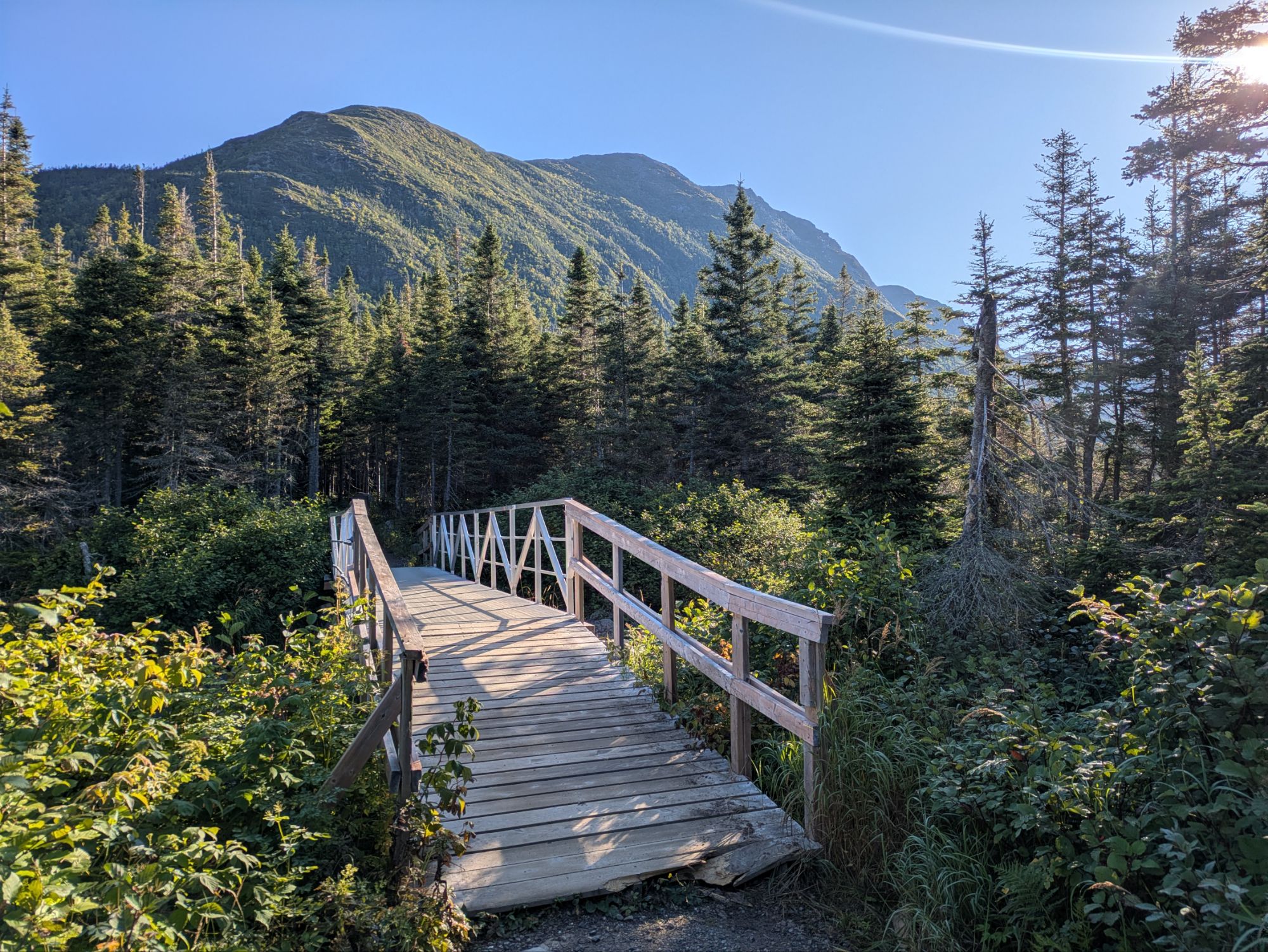
Still in the forest, but near the lake’s western shore, there was a shelter and a side trail to the water. Right along the shore was a boardwalk with sitting benches and a dock jutting out. It was all very beautiful and too good to pass up for a second breakfast stop, I thought.
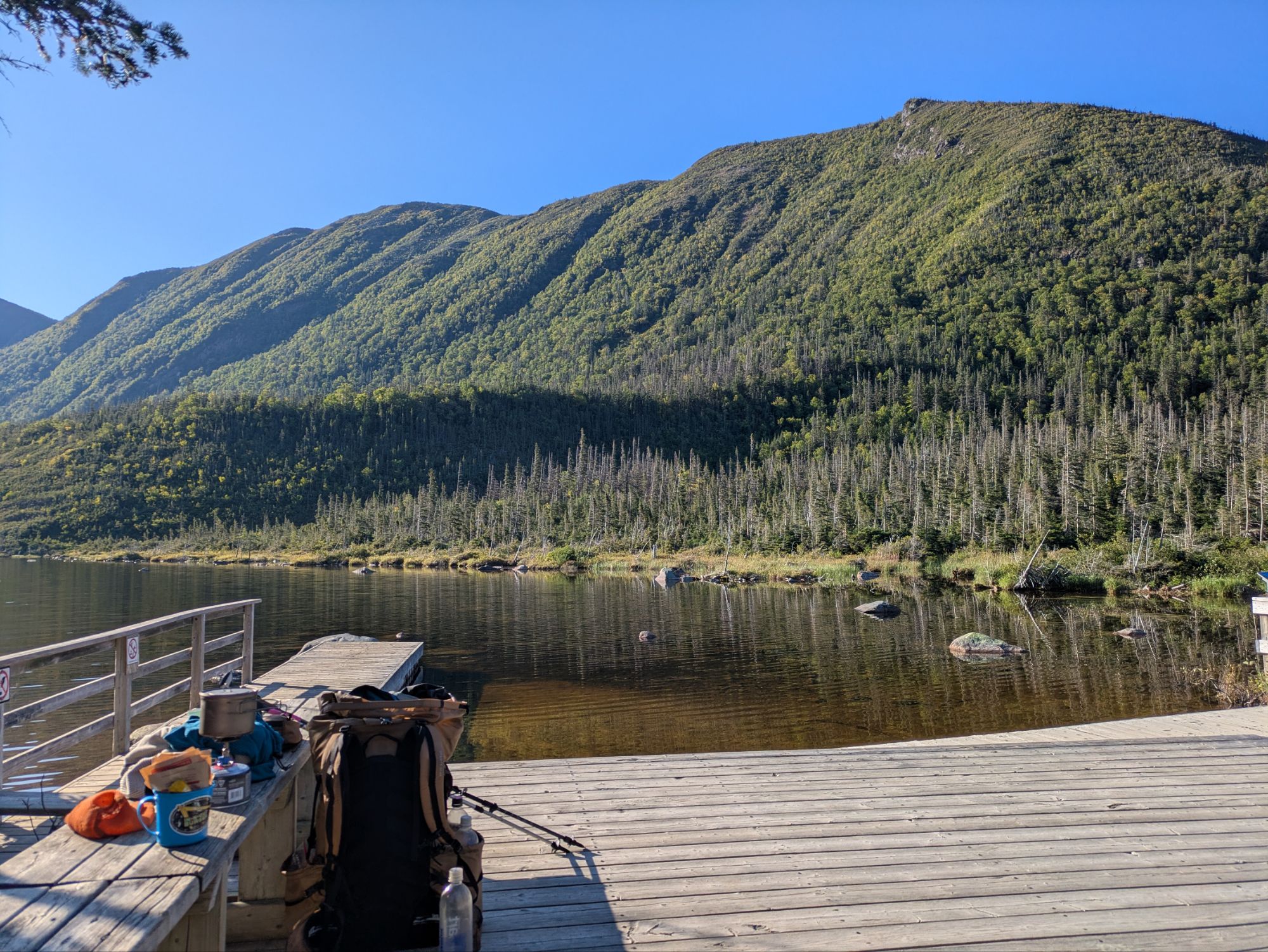 Back in the day, and I’m talking on geologic time scales here, a glacier repeated advanced and retreated over and over and carved out these mountains. The steep-walled landform that was left is called a cirque. Additionally, Lac aux Americains that remained after the melting, which filled in the bowl-shaped depression, is considered a tarn. At least that’s my recollection from the informative sign I read there.
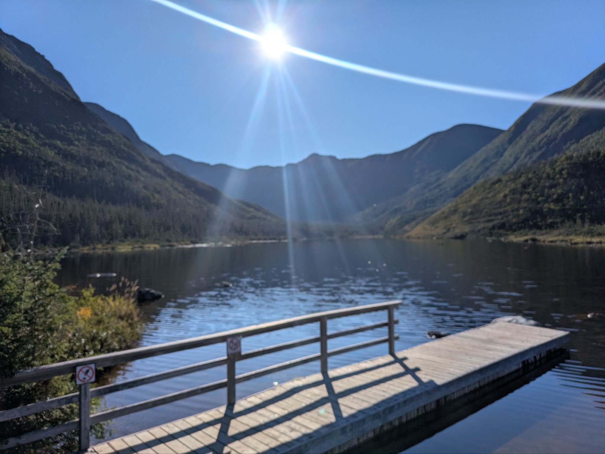 While hanging there, some guys from New Brunswick showed up. I’m learning that New Brunswick’ians speak English it seems.
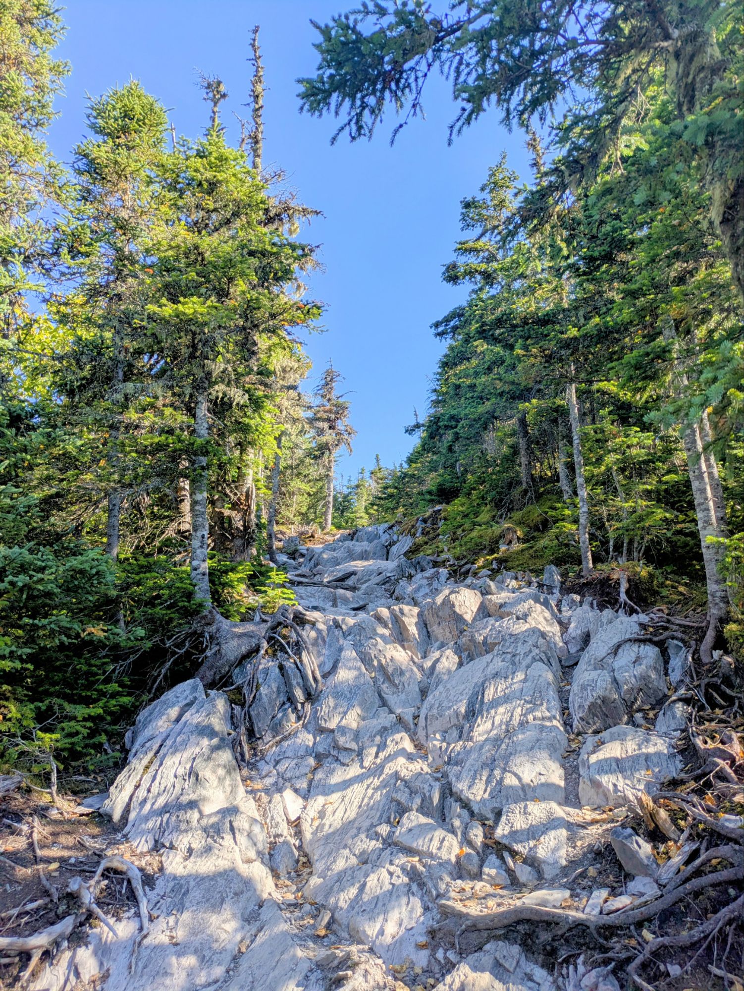
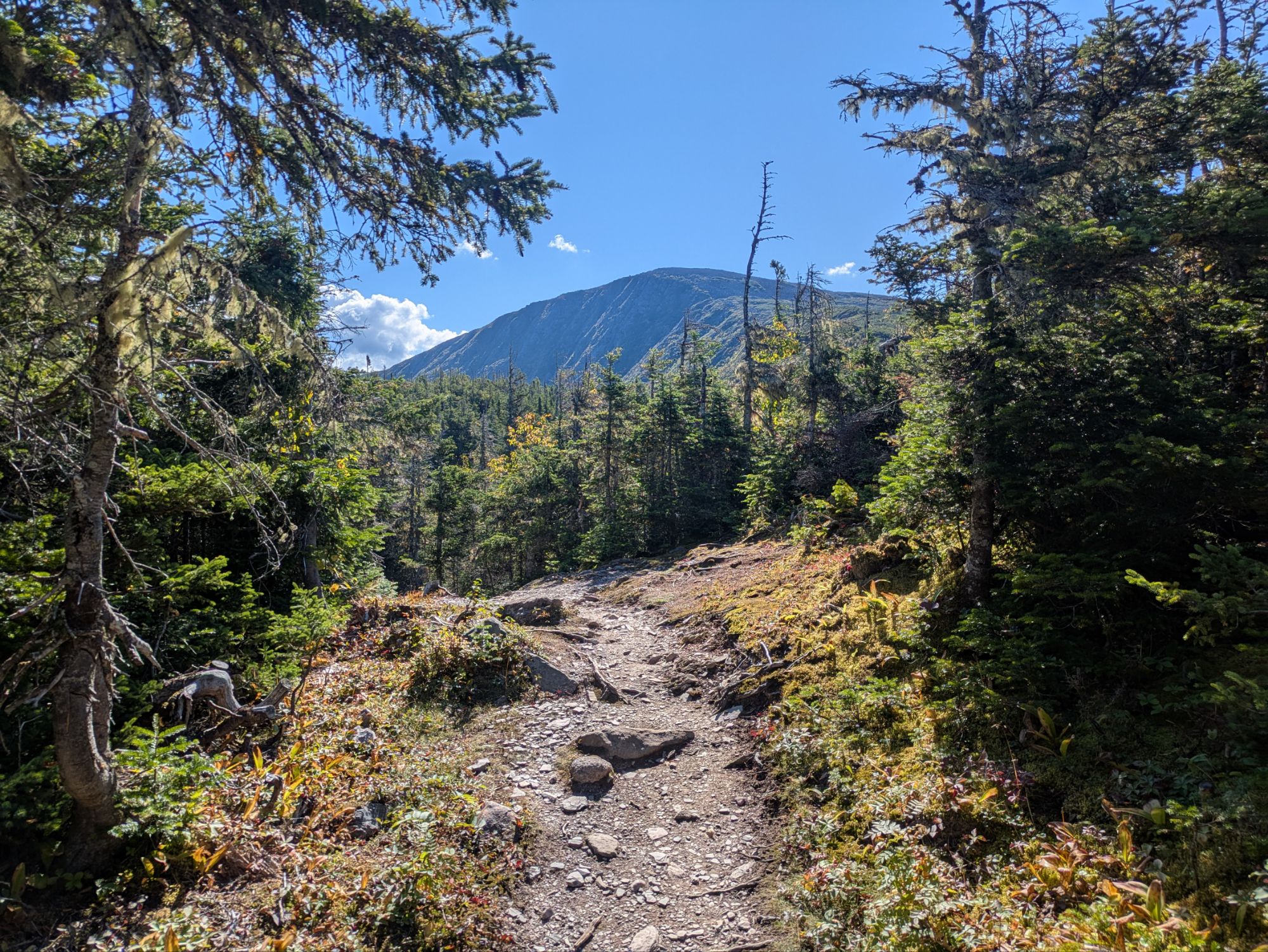
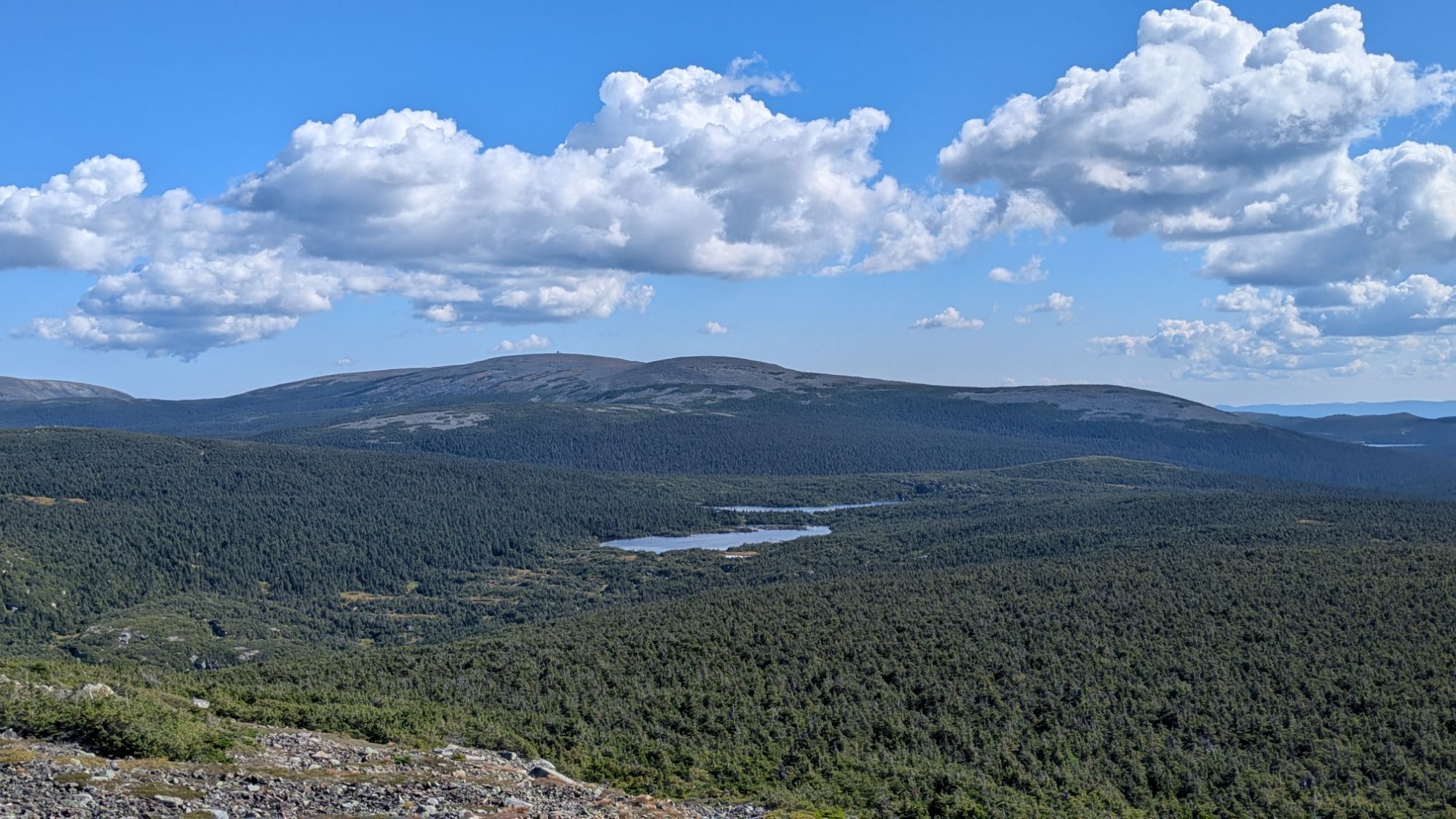
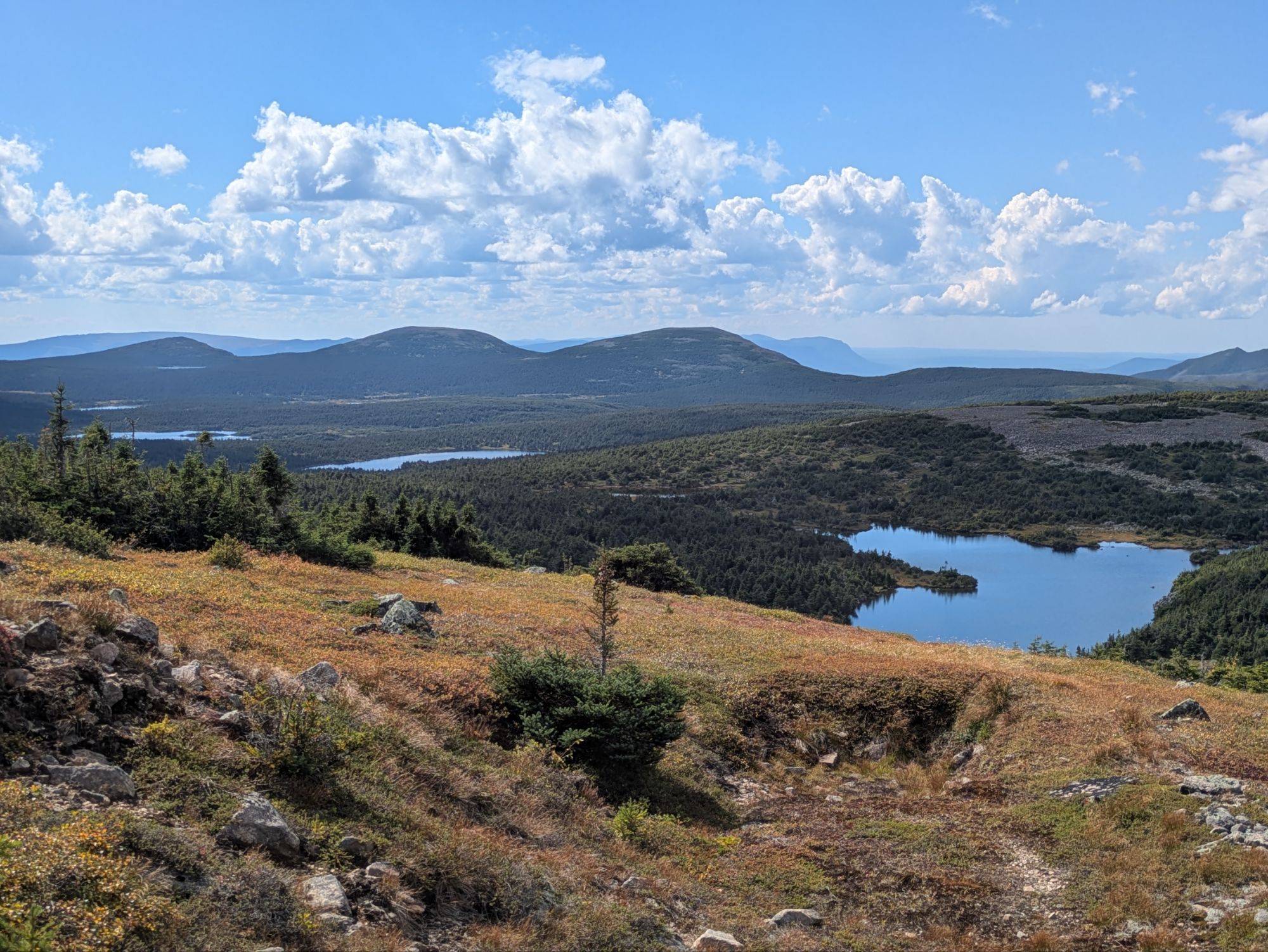
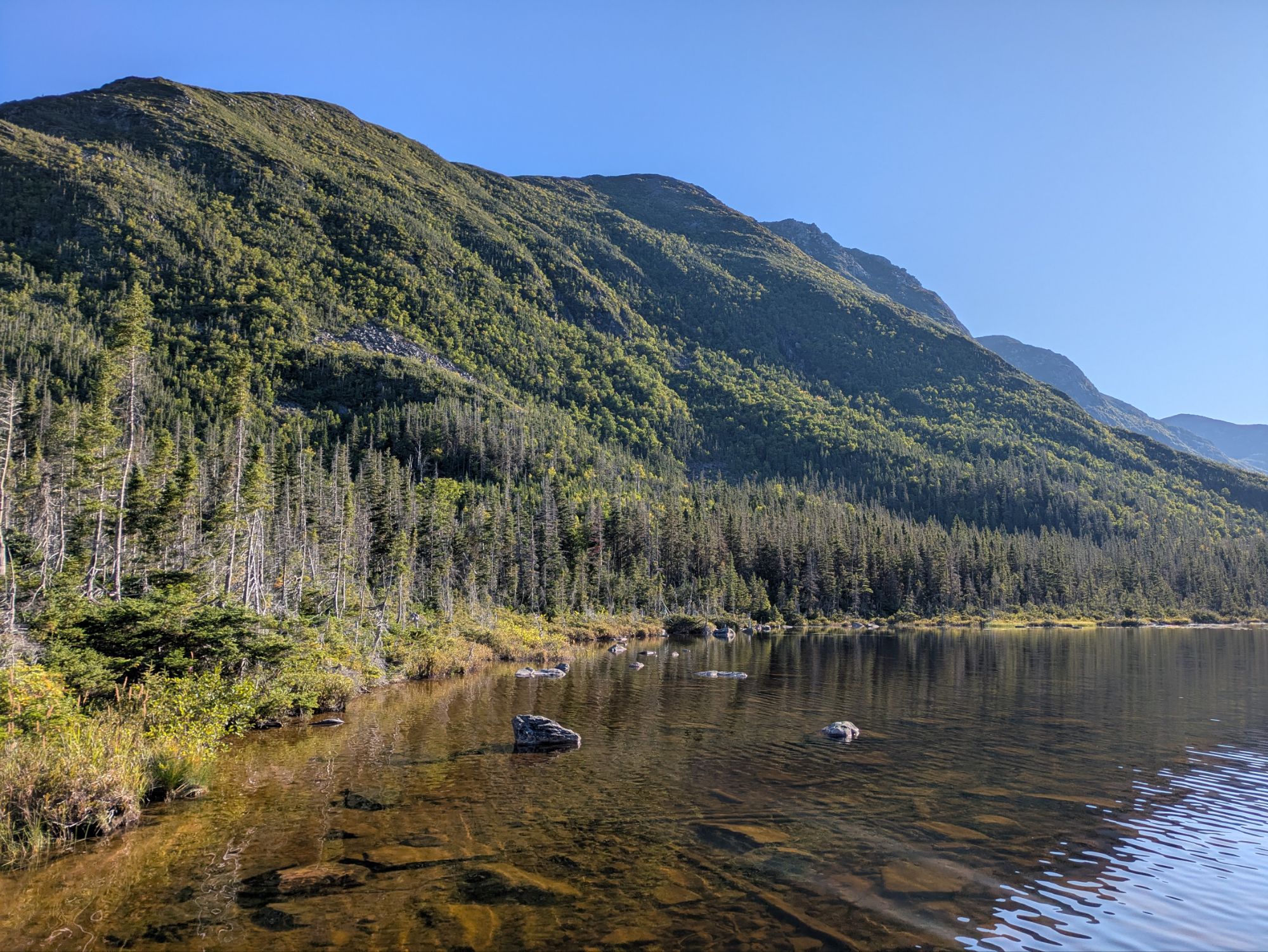 Moving on, the upwardness continued and it wasn’t very long before I started getting some views. It was quite spectacular!
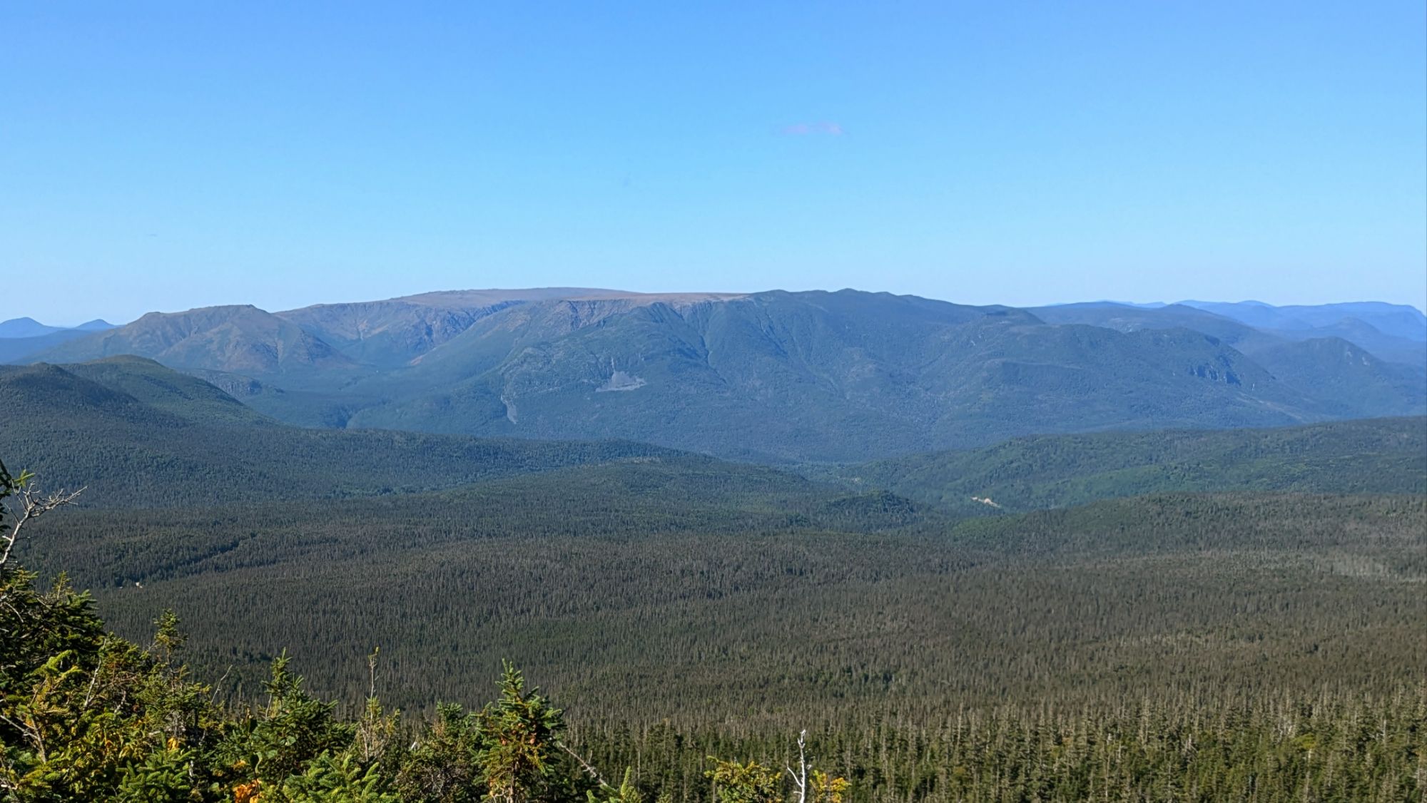
This looks back towards Mont-Albert. The expansive forest between me and the far-off mountains is what I walked through this morning so far.
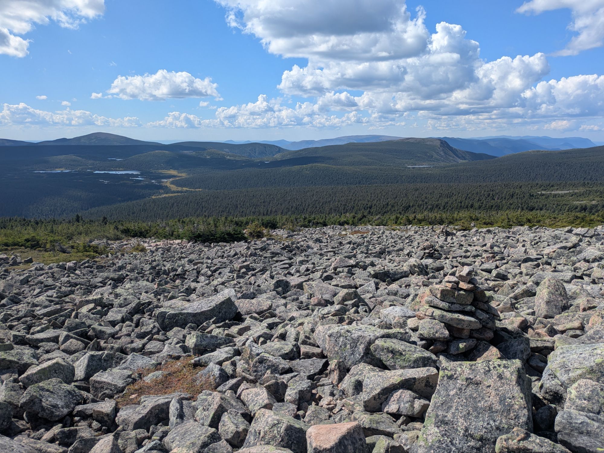
After this first view point, the rest of the way up to Mont Xalibu was pretty much open looking all directions. Yet another experience in these Chic-Chocs that left me in awe.
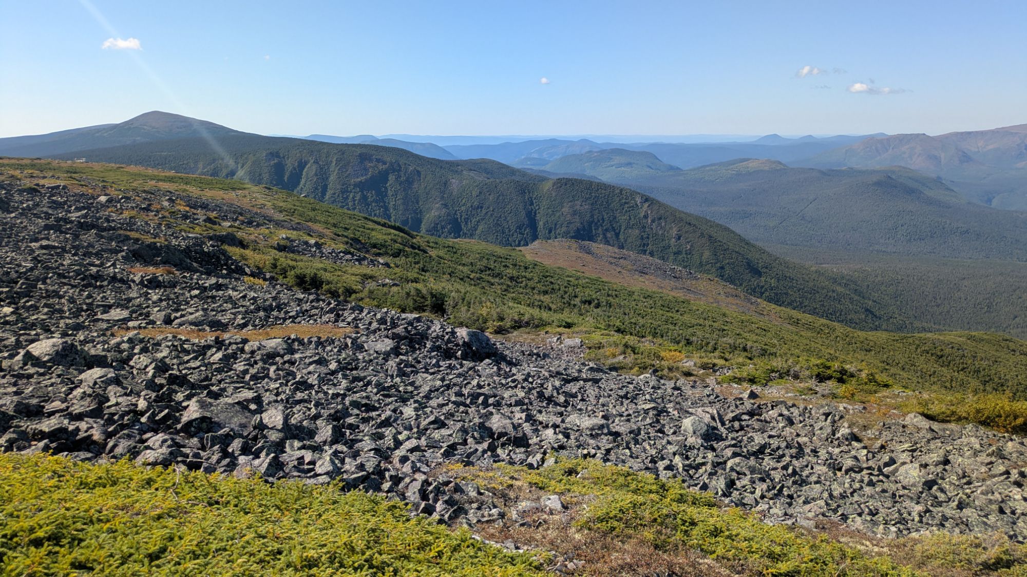
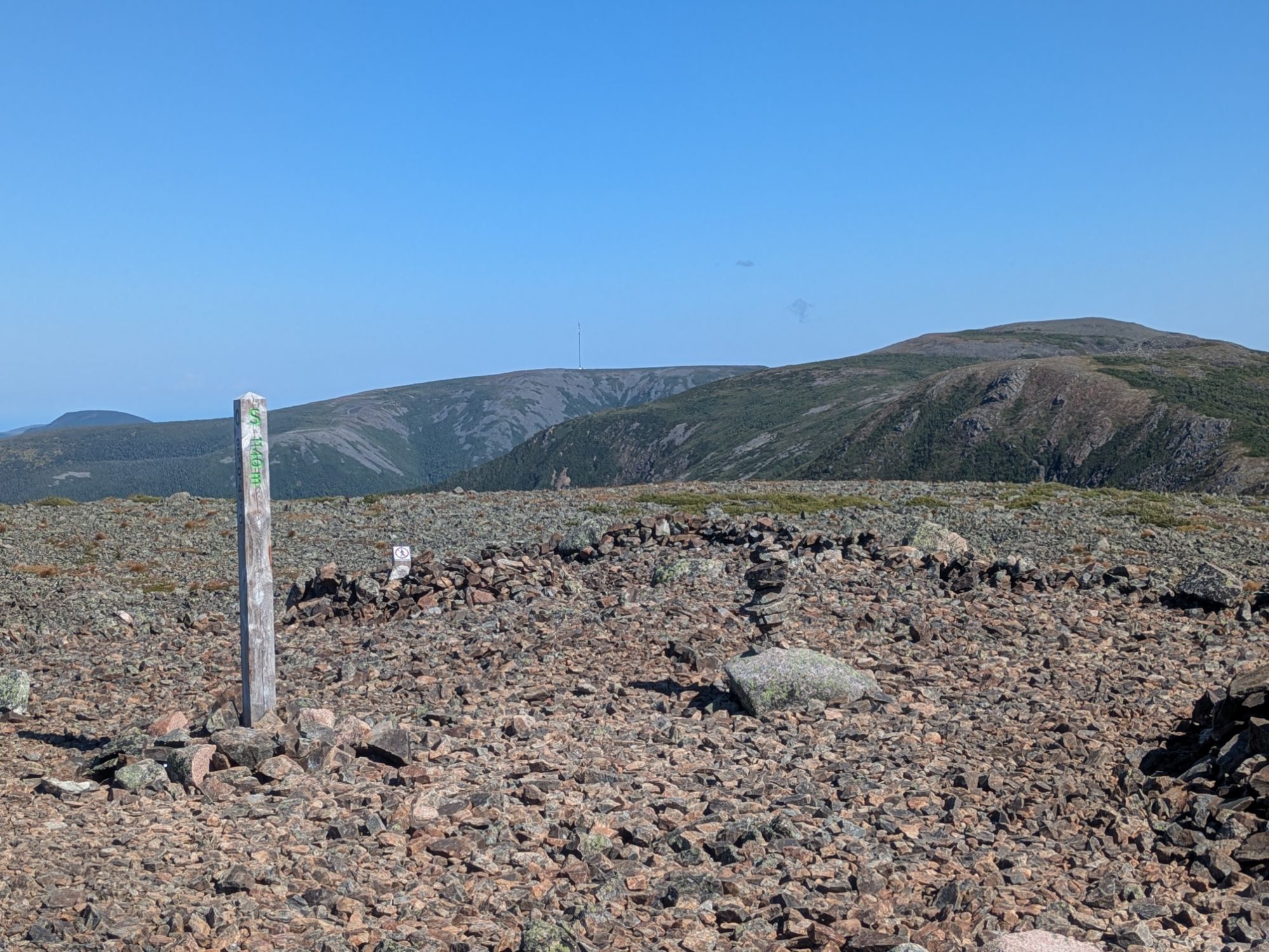
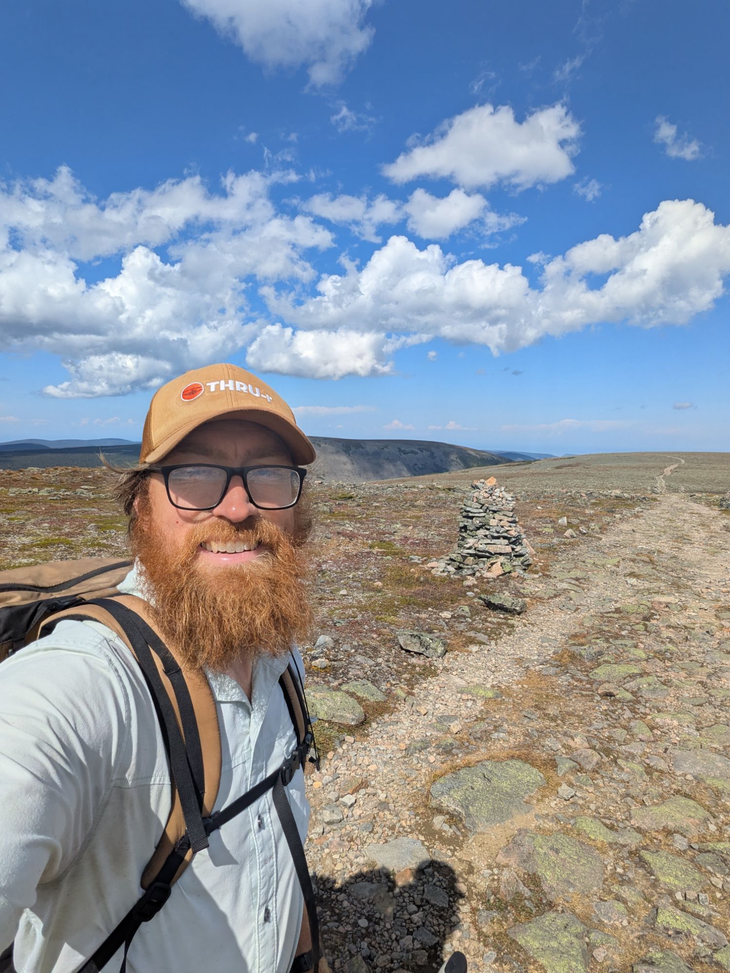
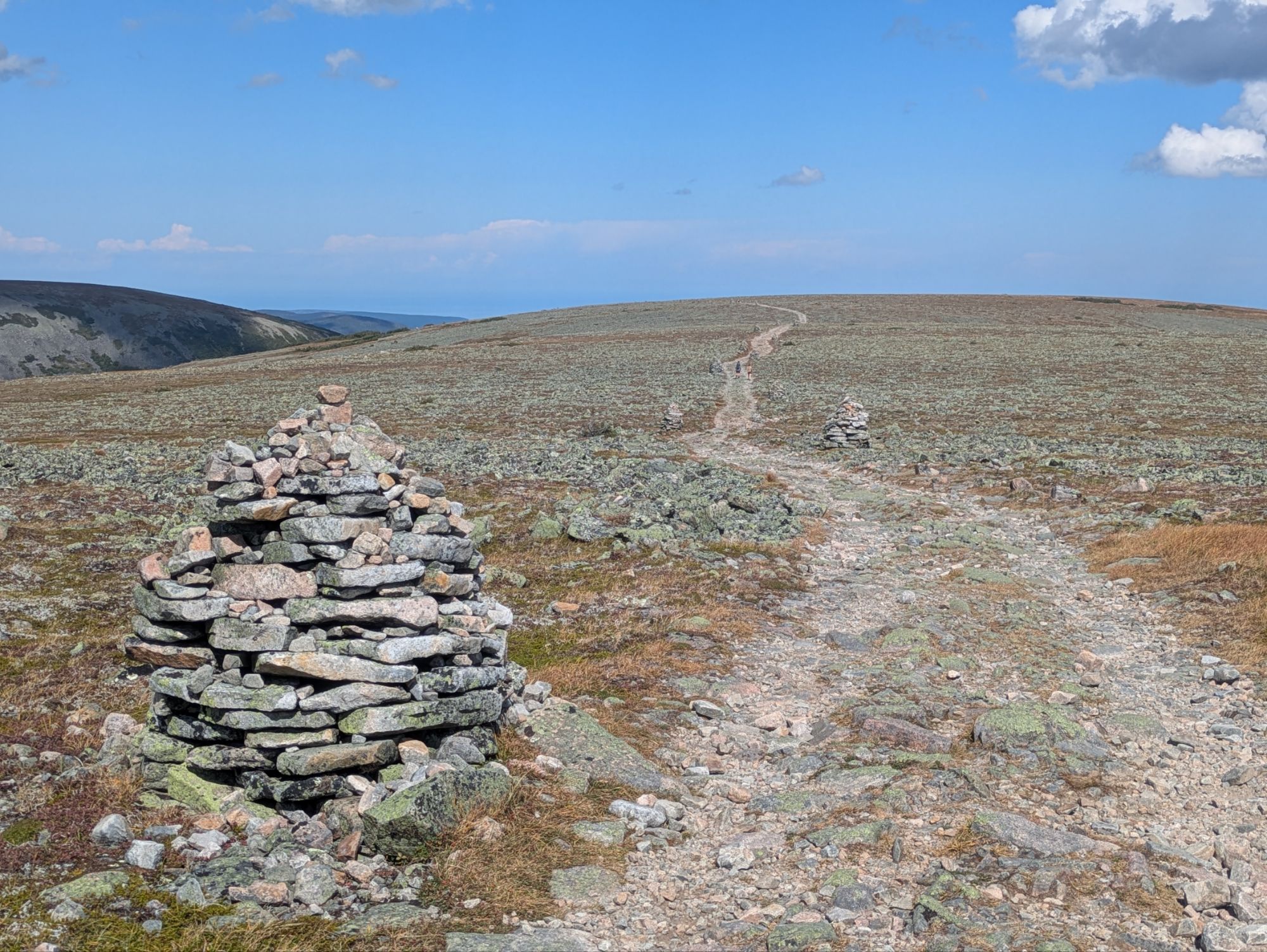
Mont Xalibu summit. It was quite flat and super rocky, mostly cobble-sized jagged stones.
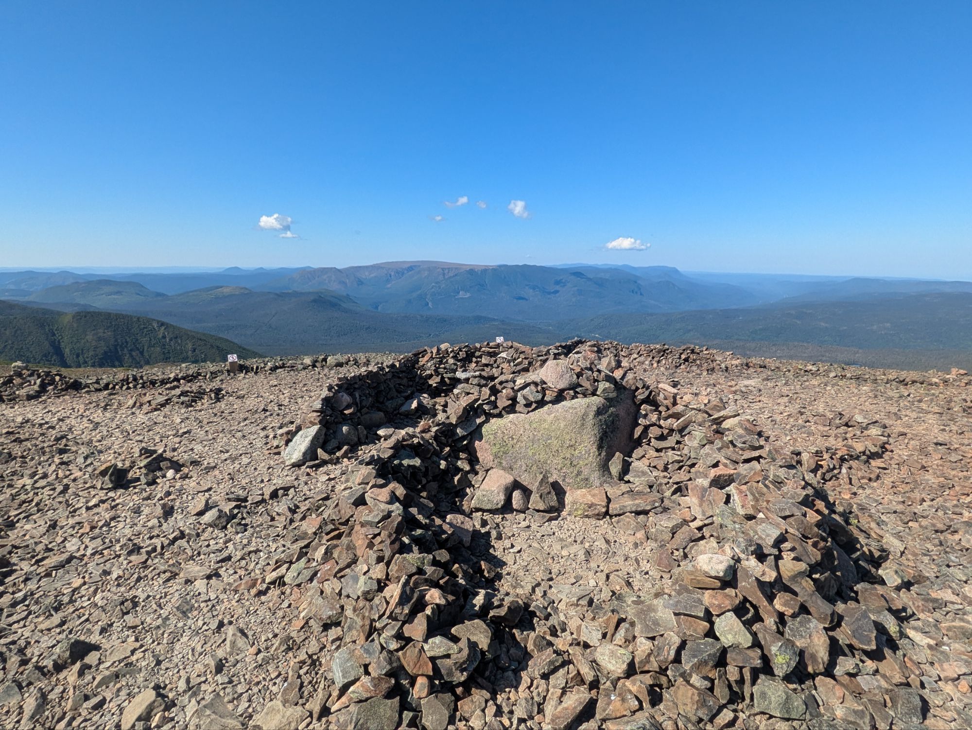 Since joining up with the International Appalachian Trail, this section of the ECT has both felt like a final test, some sort of combination of the toughness from everything south, and also like a last, Wow!, an epic conclusion to the adventure. Matane had more of the challenging aspects with it’s super steep trail and rugged ups and downs, whereas Gaspésie has just been a true pleasant gem.
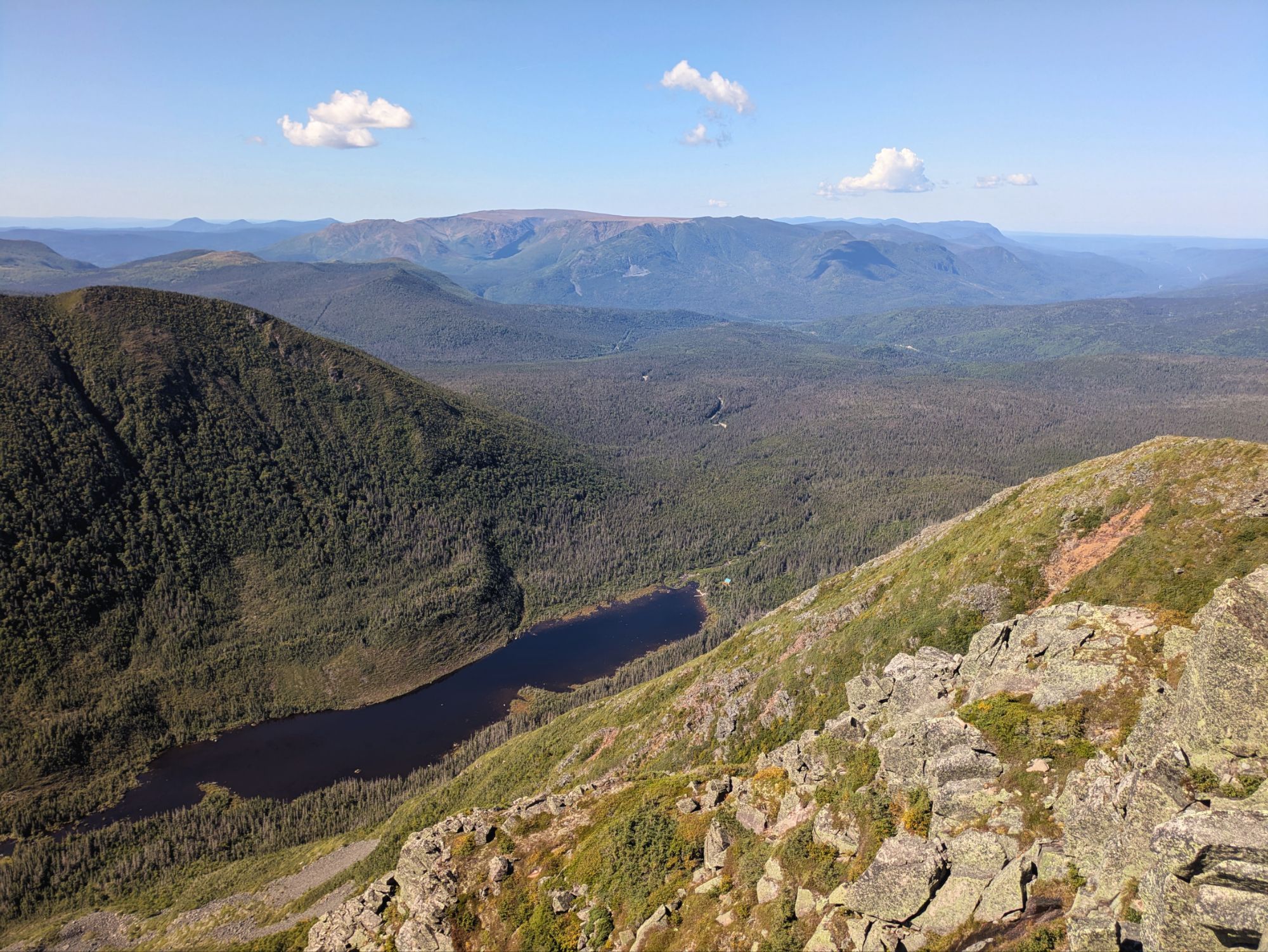
Just North of the Xalibu summit there was a side trail to an overlook. It had a great perspective looking back where I’d come from from just earlier today down at Lac aux Americains. Looking further too though, it showcased the impressive mountains from yesterday around Mont Albert.
 Around this time, despite the general awesomeness I was experiencing, I unfortunately started not feeling the greatest. I haven’t had it in a while, but it felt like way back that day on the AT when I met the cookie lady. I felt this one coming on, so took one of my pills and stopped eating, hoped it’d go away, and kept trekking. Luckily it was pretty chill terrain through the high up flatlands for awhile.
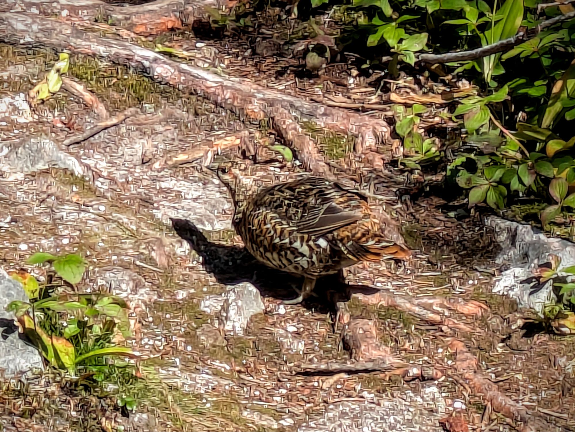
These fluffy buggers are everywhere! They usually are in pairs of two or three or four it seems.
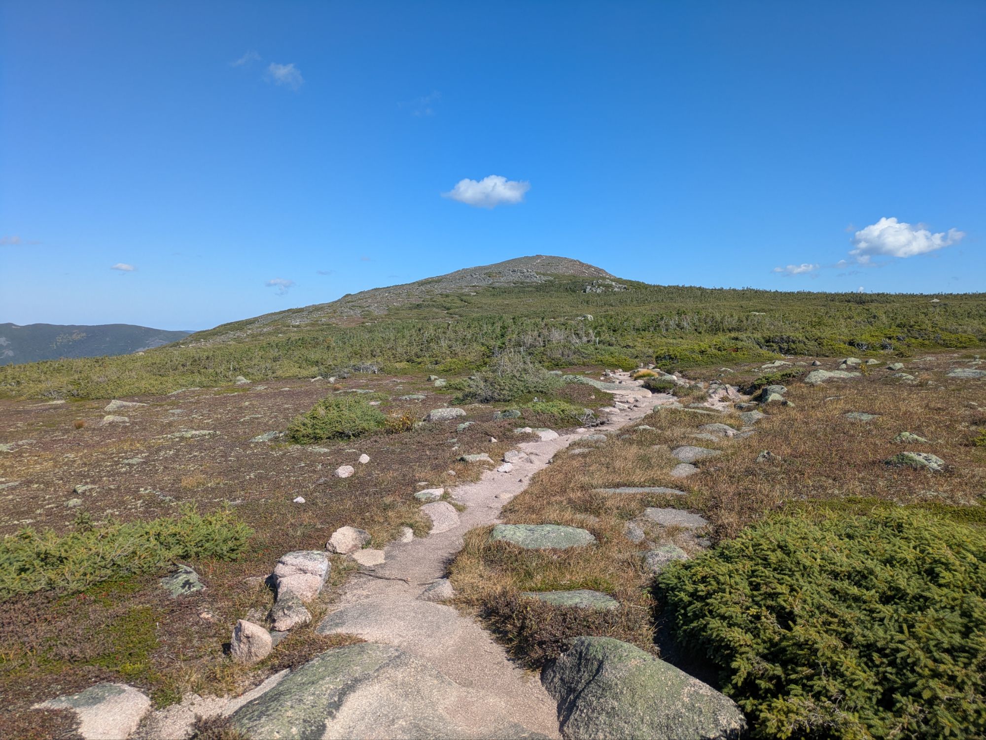
Eventually, I started going up gradually, this time towards Mont Comte. Rather than climb up the full jagged boulder summit though, the trail wound around thankfully.
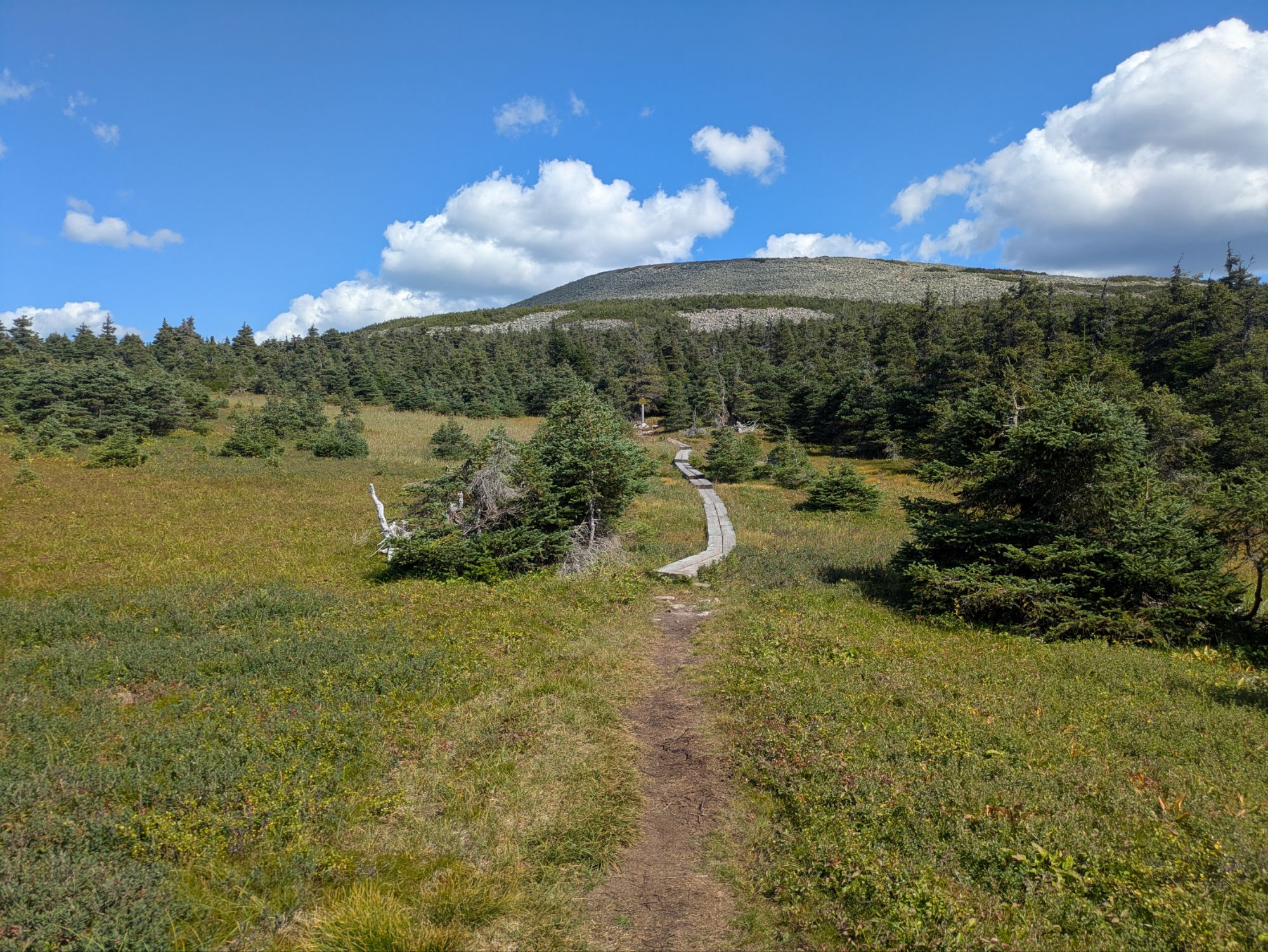
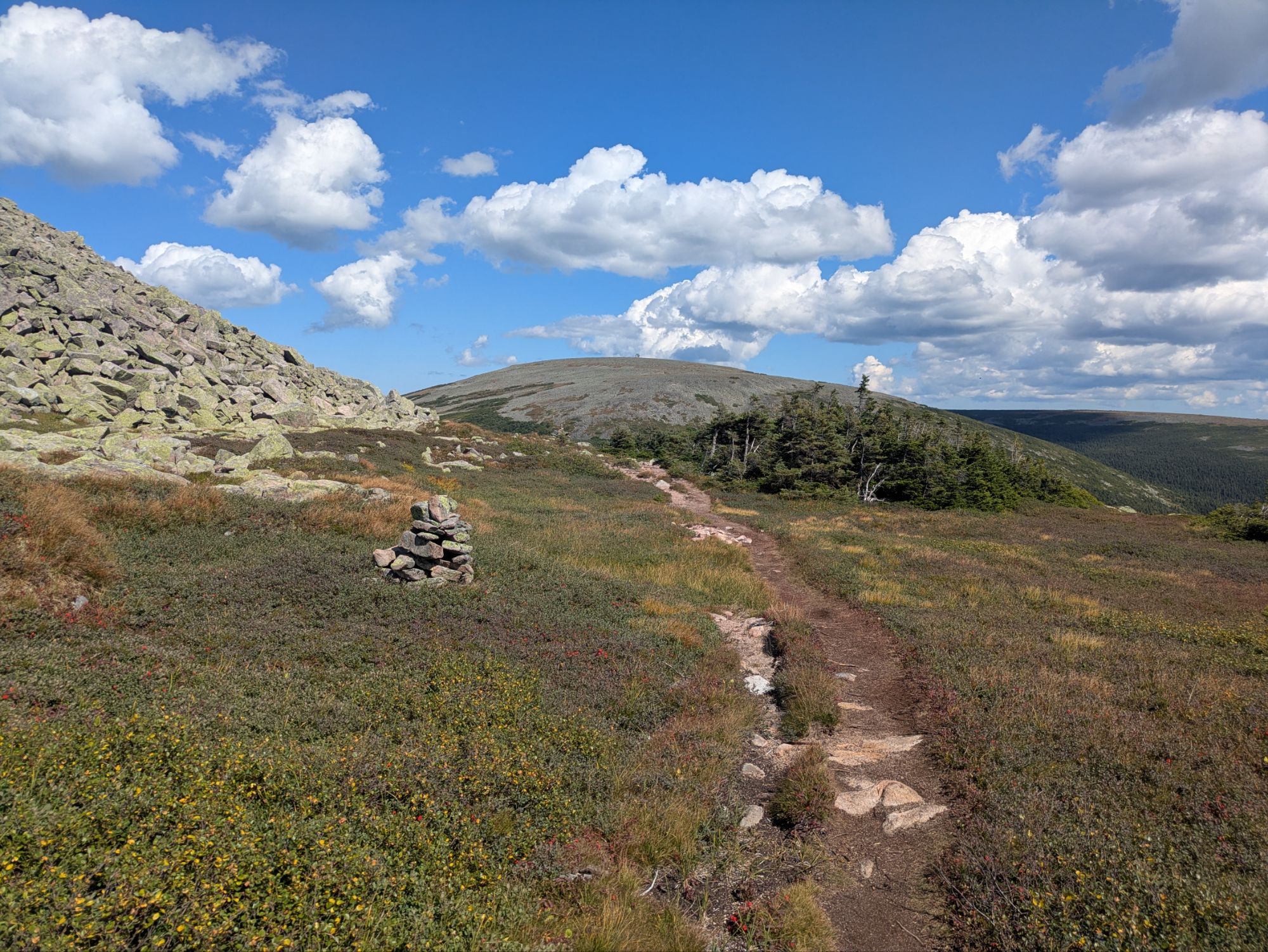 It led around and then dipped down to a small pond with a view of the precious Mont Jacques-Cartier beyond. I started seeing a good amount of day hikers from this point on.
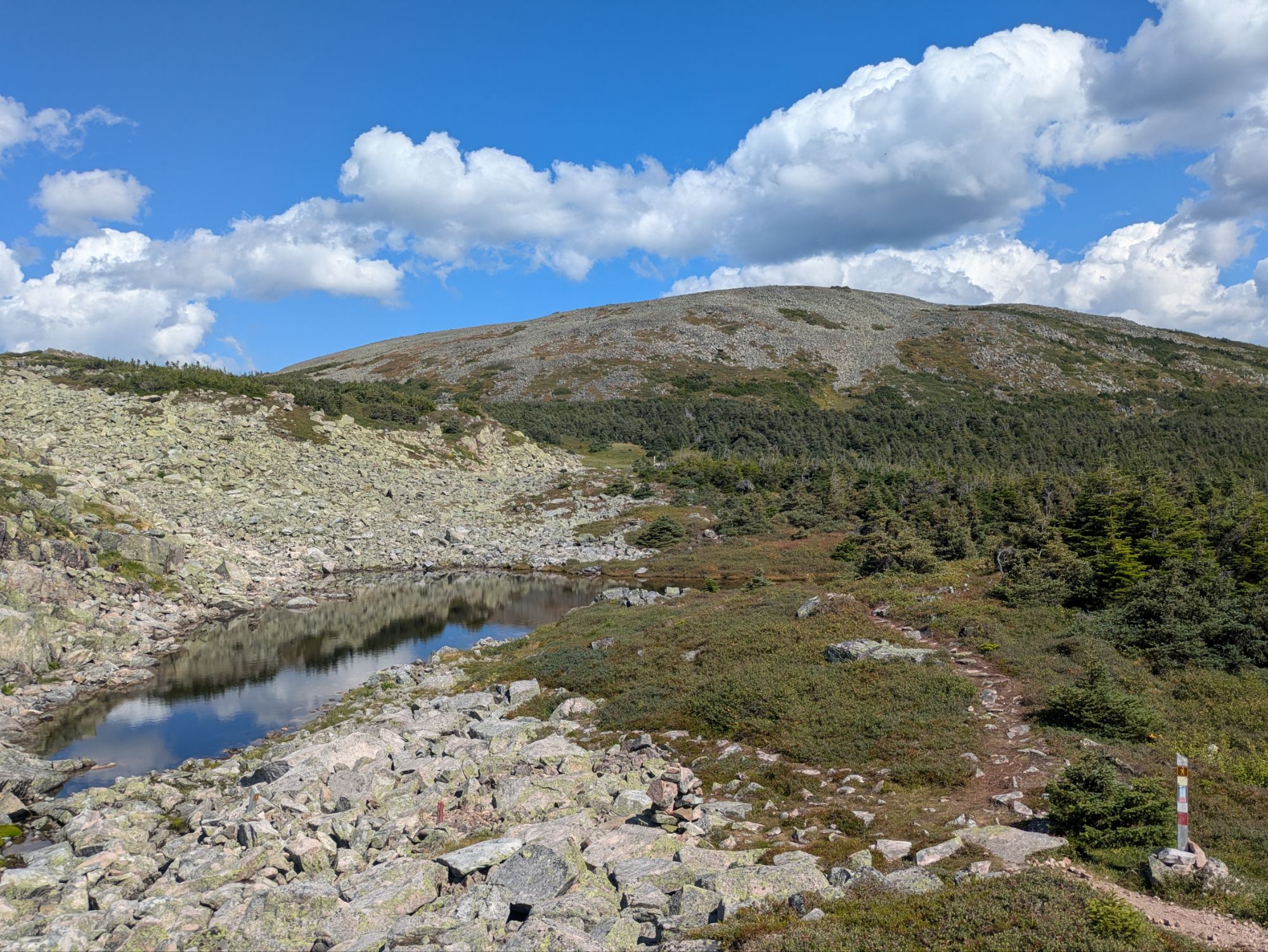
Apparently, all this area is habitat for caribou, so I was on the lookout! Talking with a couple coming southbound with binoculars (I figured they were pretty professional caribou spotters), they said they’d seen one near the shore of a lake. I wondered if it was far off viewing requiring the binos, but never got to ask seeing as we both started moving on.
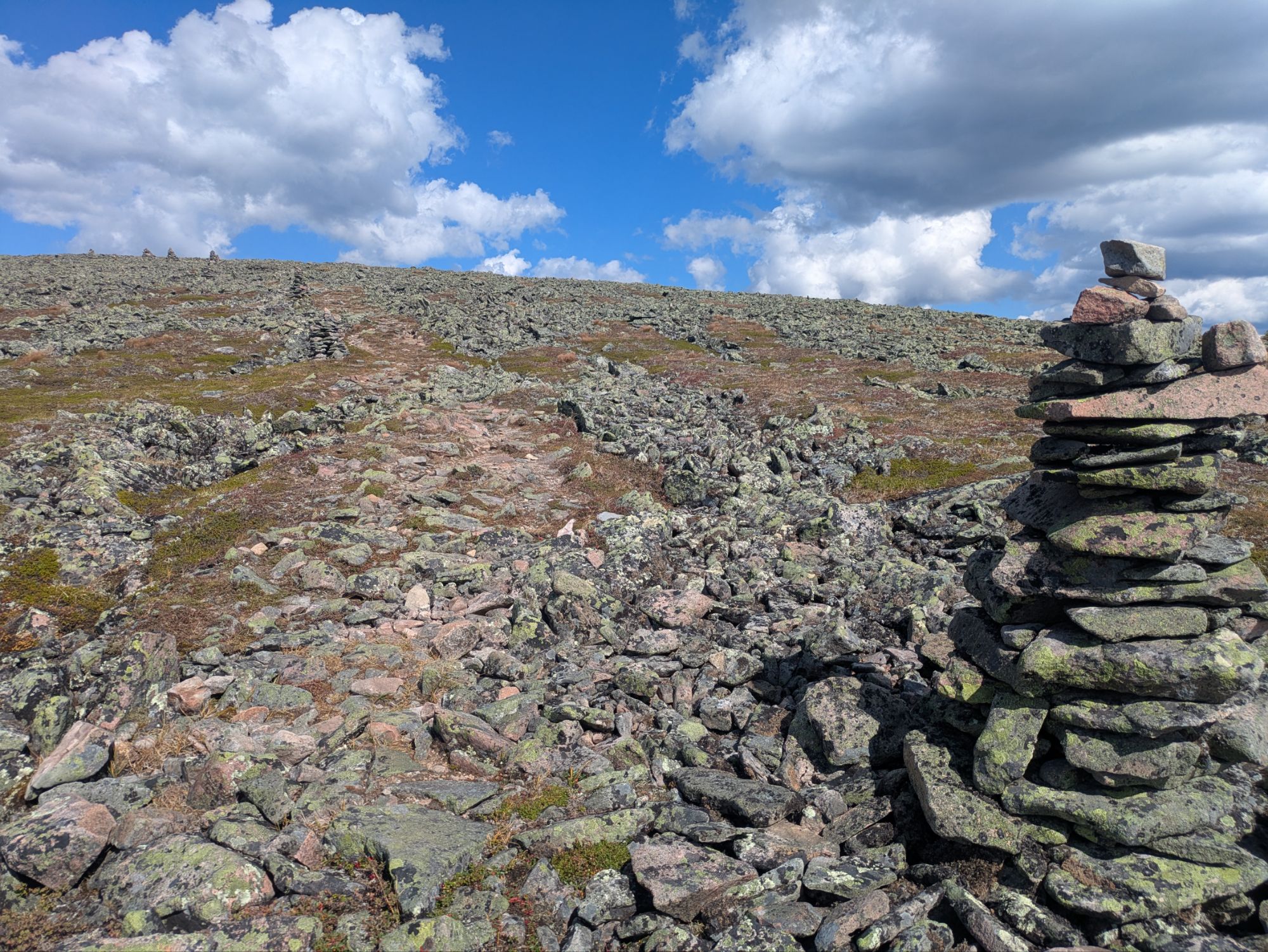
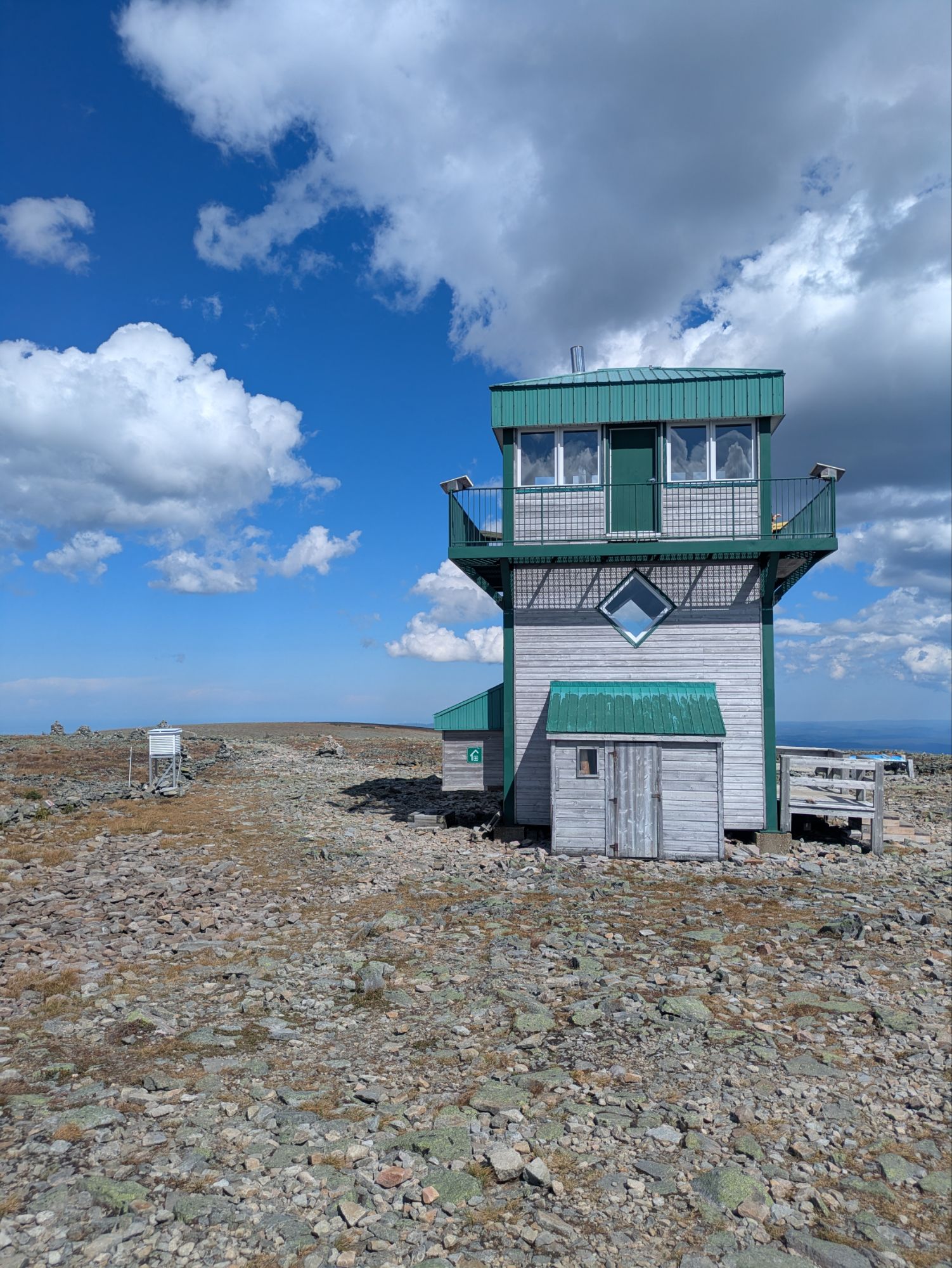
4,183 feet Mont Jacques-Cartier
This is apparently the highest point in the Chic-Chocs and there was a big viewing tower atop the flat summit. Lots of folks were milling about.
It was around 1:30 pm when I left the top. The path ahead was completely exposed and had been for most of the late morning/midday hours. Even though I lathered on the sunscreen, I was cooking. It wasn’t so much temperature-wise, but the combo with my stomach feeling off and the not eating, I just felt drained of energy. If it wasn’t flat and then a long downhill, it would have been a real problem. I kept plodding forward though.
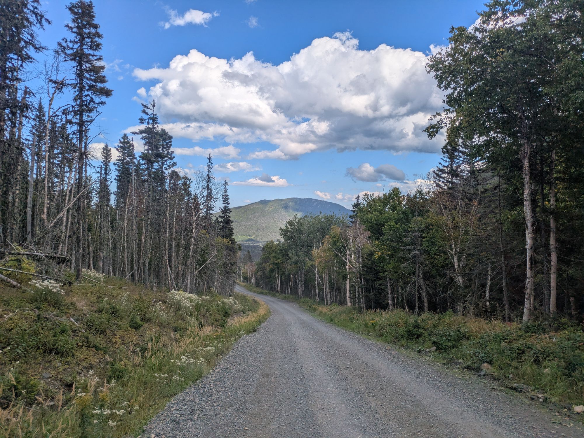
 Once down a ways, I reached a gravel road dead end where there was a bus stop for hikers to get picked up and dropped off at. The IAT continued down the road, which was a very welcome reprieve from the uneven rocky trail.
 At one point, one of the Sepaq (what I thought was the Canadian equivalent to the U.S.’s National Park Service, but is actually an agency specific just to Quebec) vans stopped and the driver got out. She walked over to me and started chatting. We’d actually met two days ago on trail when she was on her day off. Understanding that I was leaving the park today, she explained that I’d be entering into another Wildlife Reserve and that it was an active hunting season apparently.
This was news to me. To my knowledge, having gotten out of Matane Wildlife Reserve in time, I was in the clear. Turns out, nope. She told me to stop at a little ranger station just down the road and they’d get me some bright flagging to tie on my pack. And so I did. I also got out my blaze orange beanie when the time came.
Leaving the ranger station, I took a little road alternate I came up with. Several comments in the app mentioned overgrown trail and Satellite had warned me about mucky trail too. I aimed to bypass all that.
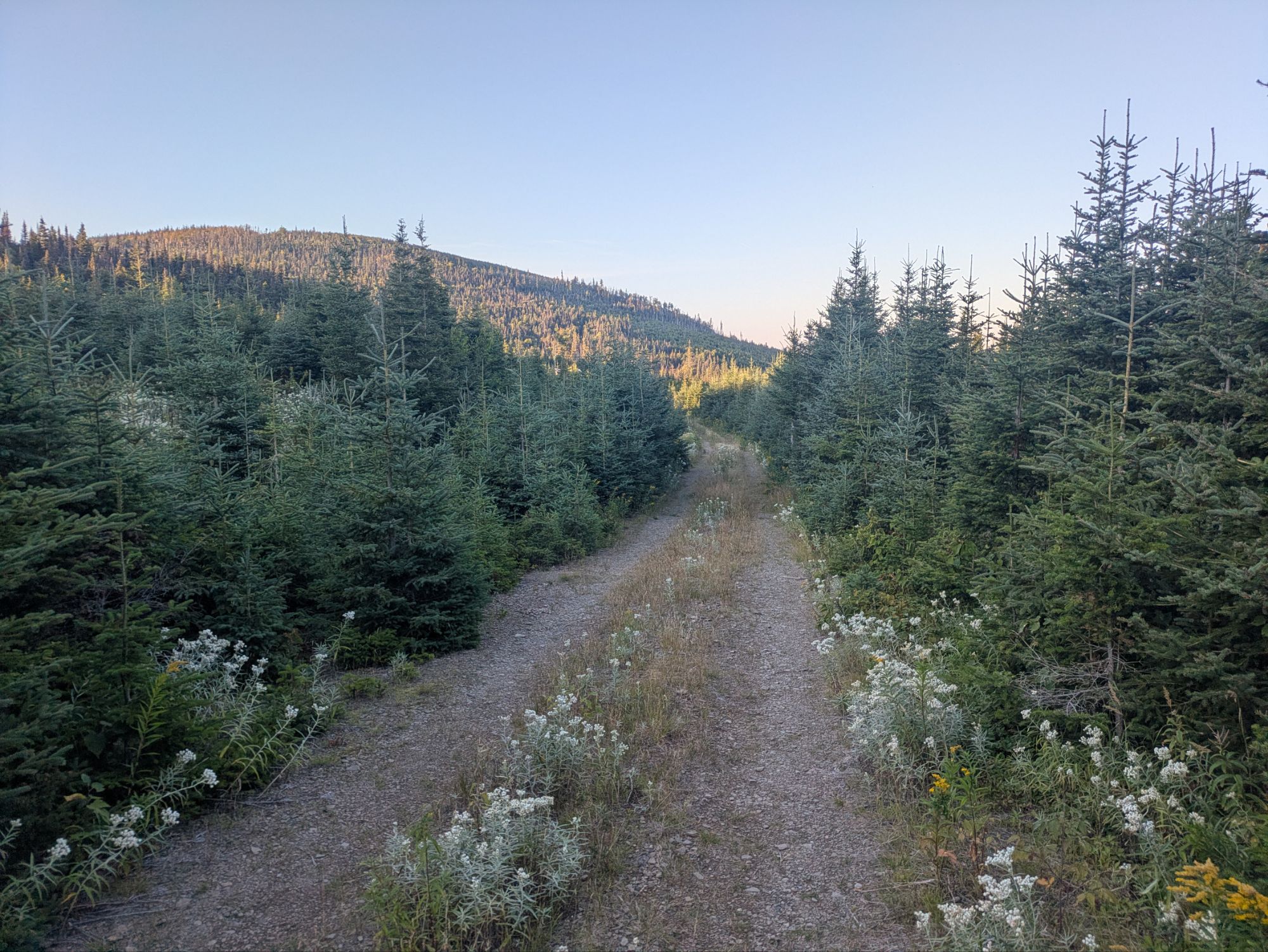
Jumping back on trail, I had to muster all my remaining energy to climb the last 1,000 feet of the day. On the climb, which was a two track, I saw something running my direction, directly at me. At first I thought it was a big black dog, but quickly comprehended that it was actually a bear! Still far apart, I called out, “Hey bear.” It stopped, saw me, turned around in a slow continuous motion, and ran away in the opposite direction.
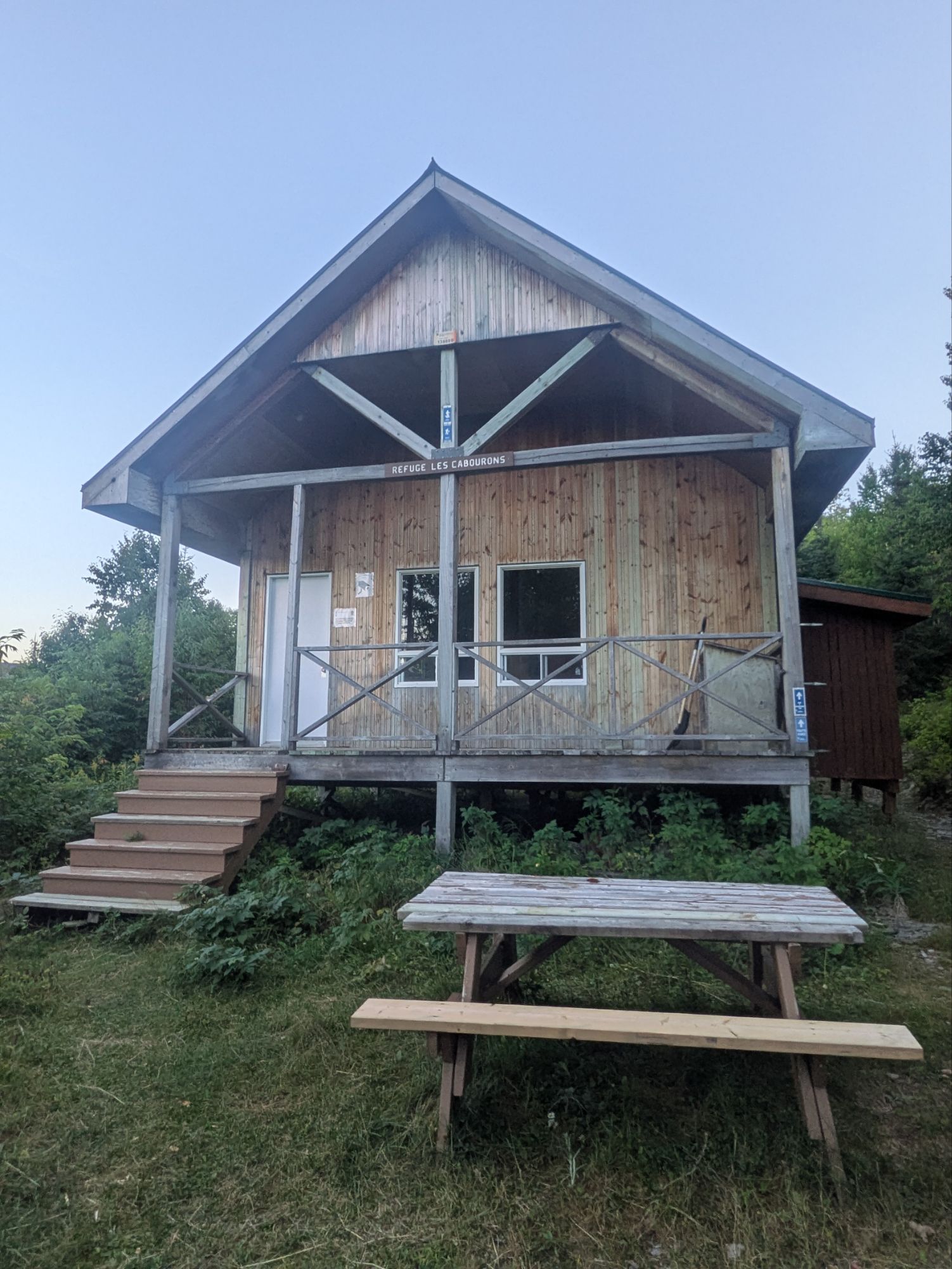
 I finally made it to the Cabourons Shelter and it was awesome!
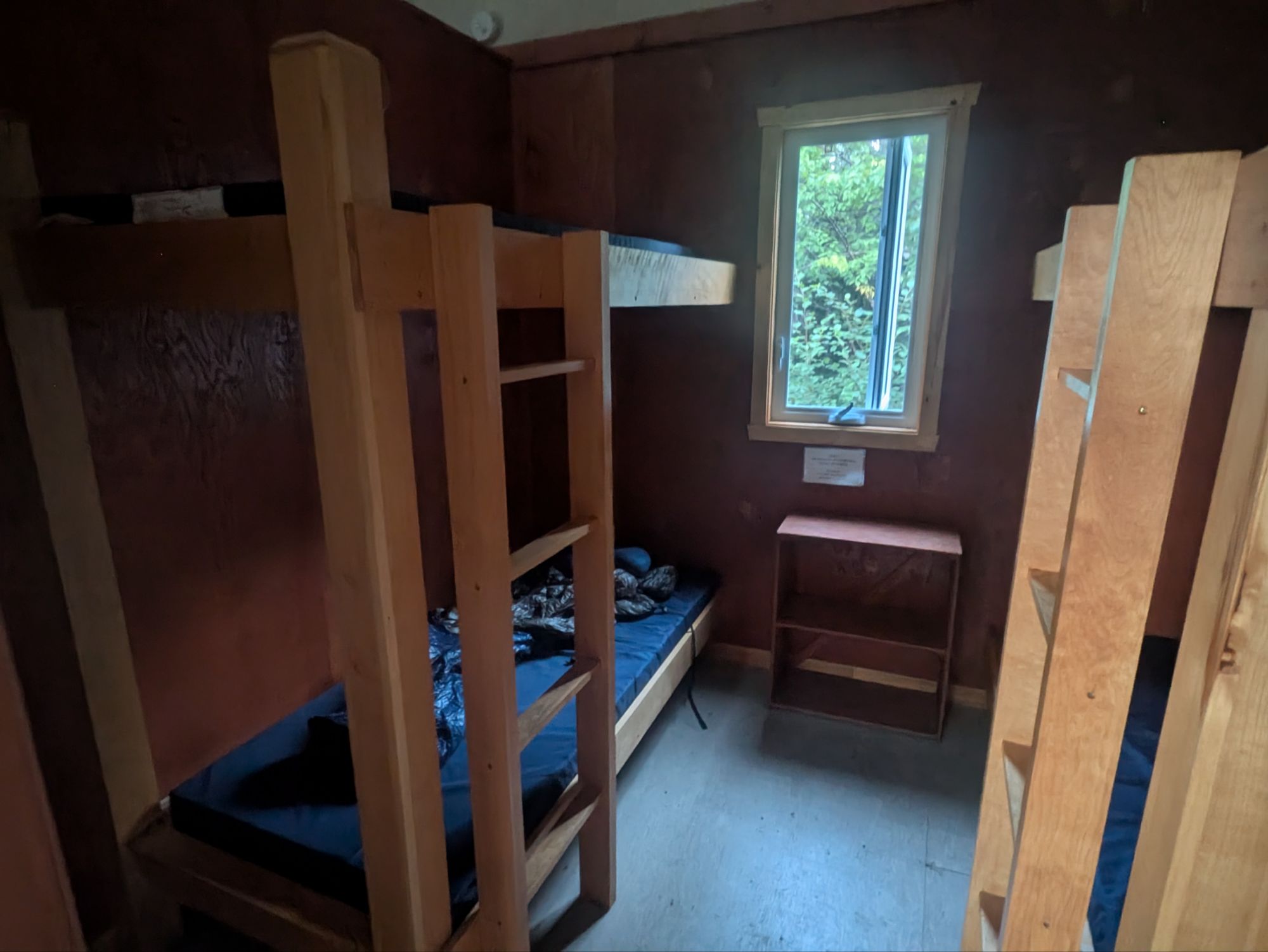
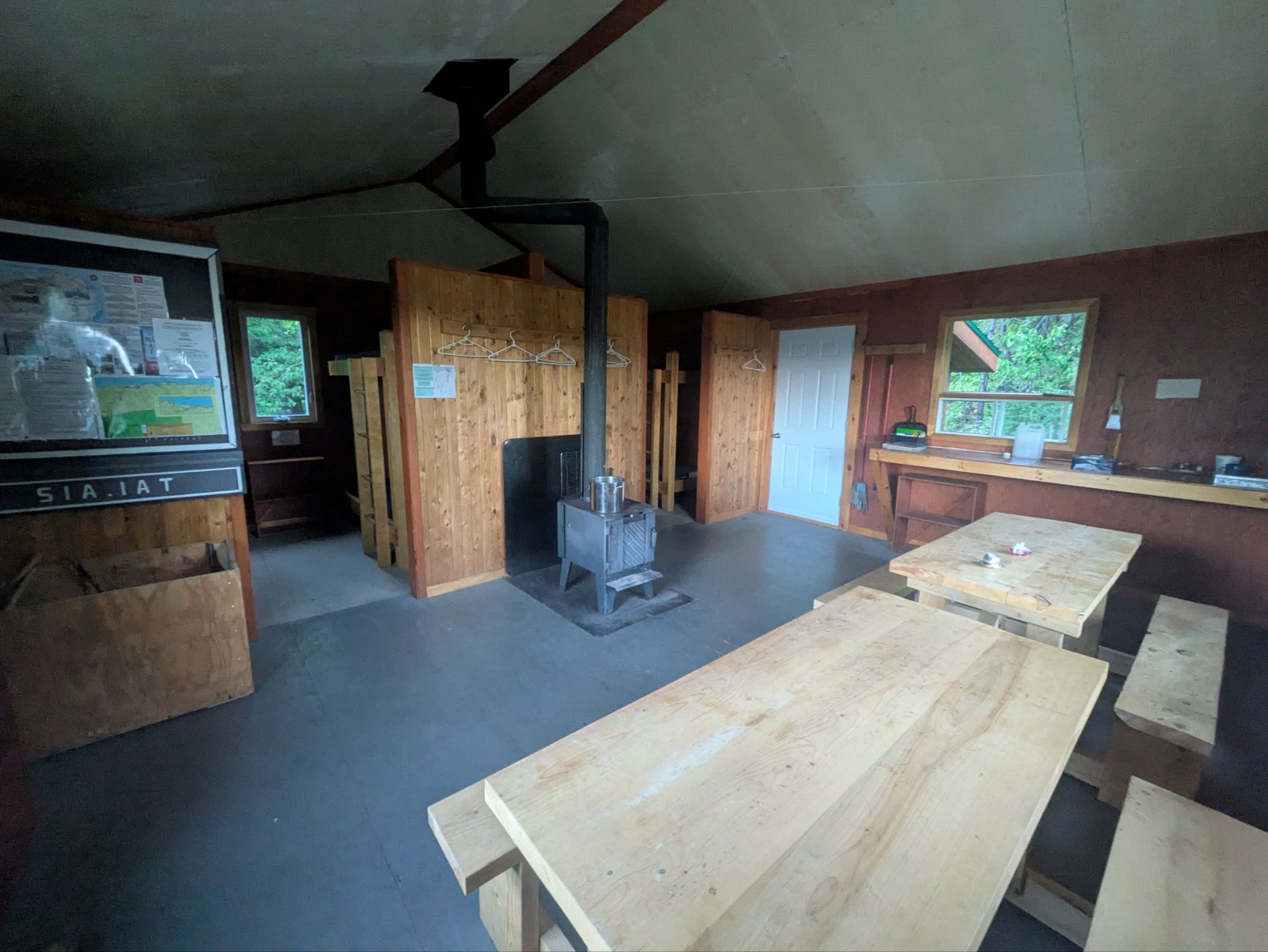 I was very tired though. During the last half hour of the day I felt better and had my appetite return, so that was a plus. Additionally, I once again had it to myself. There really doesn’t seem to be many other backpackers out right now, which makes me wonder why all the shelters in Gaspésie were “booked.” Regardless of that conundrum though and my failure in spotting any caribou, today was another spectacular hike!
Thanks for joining on the journey! It means a lot that you took the time to read up on these adventures. I love spending time and connecting with the natural world and am super grateful for these experiences. Not everyone has the resources to do so though.
So, if you want to help ALL kids get access to the outdoors, a cause that means a lot to me, please help me in supporting Outdoors Empowered Network! The “Tip Author” button is a direct link to my fundraising page. You are truly amazing. Thank you.
Album of the Day:
“The Rescue” (2005) – Explosions In The Sky

This website contains affiliate links, which means The Trek may receive a percentage of any product or service you purchase using the links in the articles or advertisements. The buyer pays the same price as they would otherwise, and your purchase helps to support The Trek's ongoing goal to serve you quality backpacking advice and information. Thanks for your support!
To learn more, please visit the About This Site page.

Comments 6
What fun at the moosen party. These picks are amazing. Cant imagine this territory in February though. Hope you see caribou before the end. Happy trails!
Great photos- you have a way with story telling.
Holy Moosen! Wowie!
Wow, even the moosen and bears up in Canada are so polite!
Wow! What a gorgeous day! The moose were an extra treat. Such impressive animals.
nice ‘shelter’ you got there. Maybe AT should take notice?