
 ">

Killington Krush
Friday, September 25th, 2026
I climb to the top of Vermont’s tallest peak on the Appalachian Trail and accumulate miles in search of an epic sunset.
Plans For Peaks
Killington Peak had been calling to me for several days. Every open view to the West provided a glimpse of the summit, easily recognizable by the many ski trails carved into its slope. I eagerly hit the trail at 7:00AM heading northbound from the trailhead on Route 103. The goal for the day was to hike about 27 miles on the AT with a short diversion to the top of Killington Peak. From there I’d hike across Route 4 to Maine Junction, where the Appalachian Trail turns East across Vermont while the Long Trail continues north to the Canadian border. After hiking down to Route 100 I’d turn around and hike back up Pico Peak to find a camping spot with a view of the sunset.
It was overcast and chilly to start the day. I knew it would not take me long to warm up so I left my sleeping layers in my backpack. The hike began with a short walk through a slightly overgrown wildflower field that were kind enough to offer me some water for my hike. I just wish they hadn’t spread it over all my clothes and shoes, which had the effect of making me feel even colder. It woke me up though.
Milestones Mounting
From there things got better. I was now hiking in the forest and making upward progress. The first few miles were gentle apart from a relatively steep climb between some rock formations several stories high. The sky cleared quickly and by the time I reached the first viewpoint I had a clear view of Rutland airport. A few miles later was a small plaque marking the point exactly 500 miles south of Katahdin. This meant that I would pass by the 1,700 mile marker within the next mile or so. I couldn’t miss the Governor Clement Shelter which sits right on the AT. It is an all-stone shelter with a large fireplace. At this point the trail begins its 2,000 plus foot ascent of Killington Peak.
Typical of Vermont, the hike up Killington was easy considering the elevation gain. The grade was mild and the trail remained mostly dirt (and leaves). Obstacles like rocks and roots were few and far between. I realized I had been hiking at an aggressive clip all morning and that continued up the slope of Killington. I didn’t for one moment think about stopping before reaching the top. Just before noon I found myself looking at several tent platforms and the Cooper Lodge, a rustic shelter just below the peak. I hung my backpack up on a broken tree branch and set off up the spur trail to the top of the mountain.
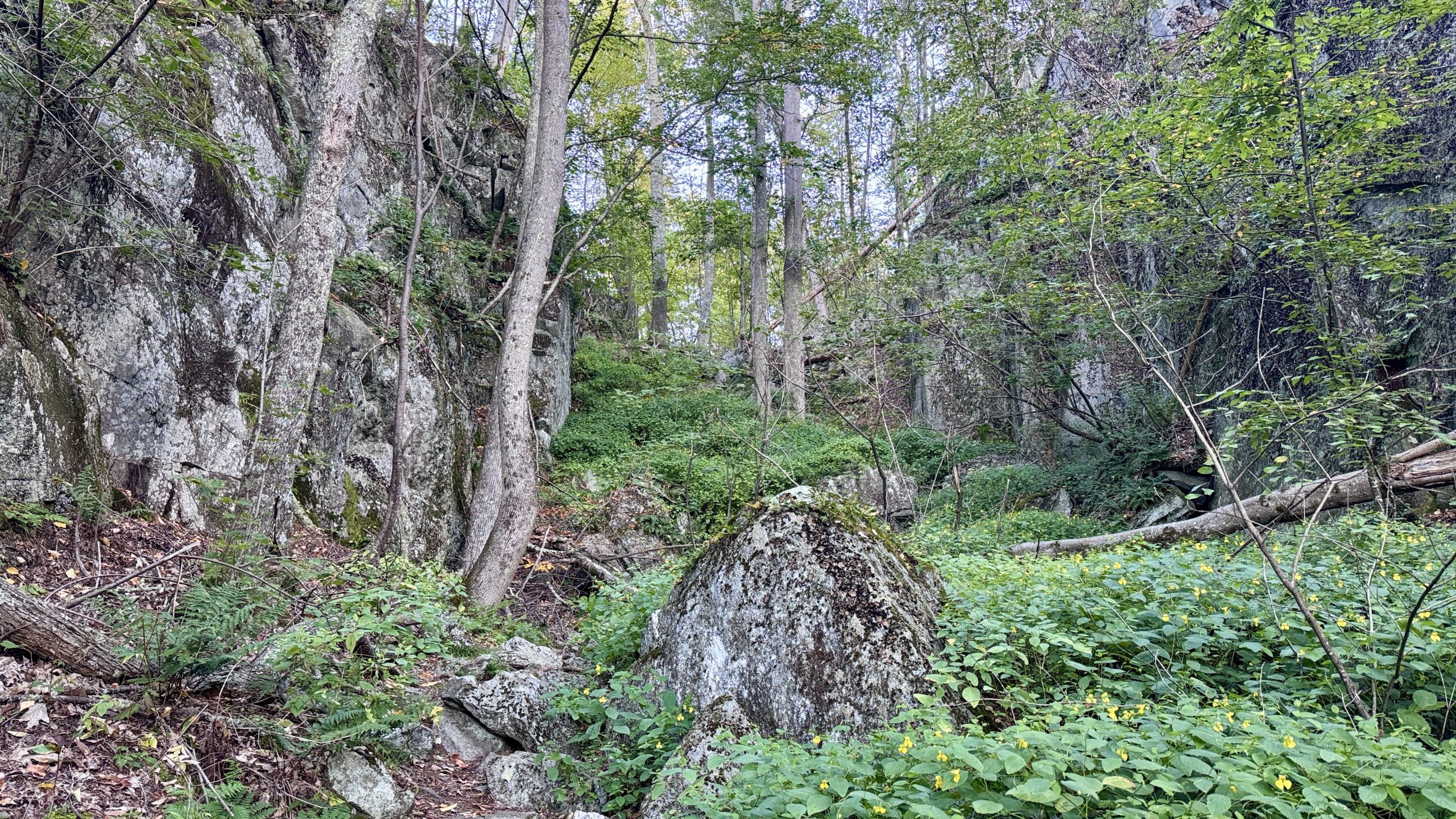
Scaling the AT between some rocks.
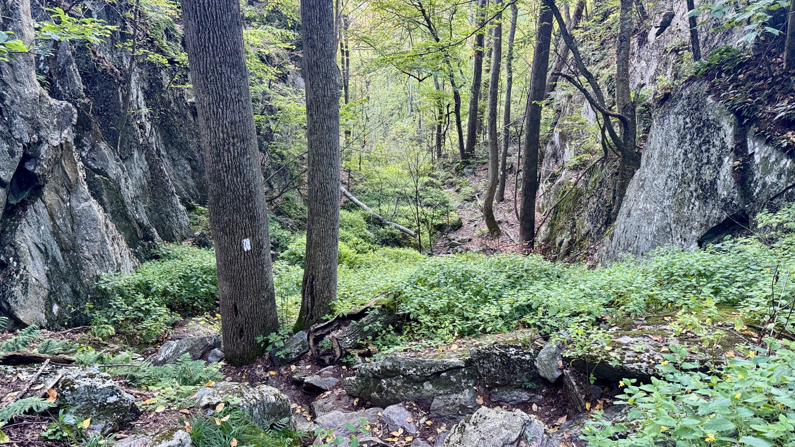
One of the more challenging sections of the day.
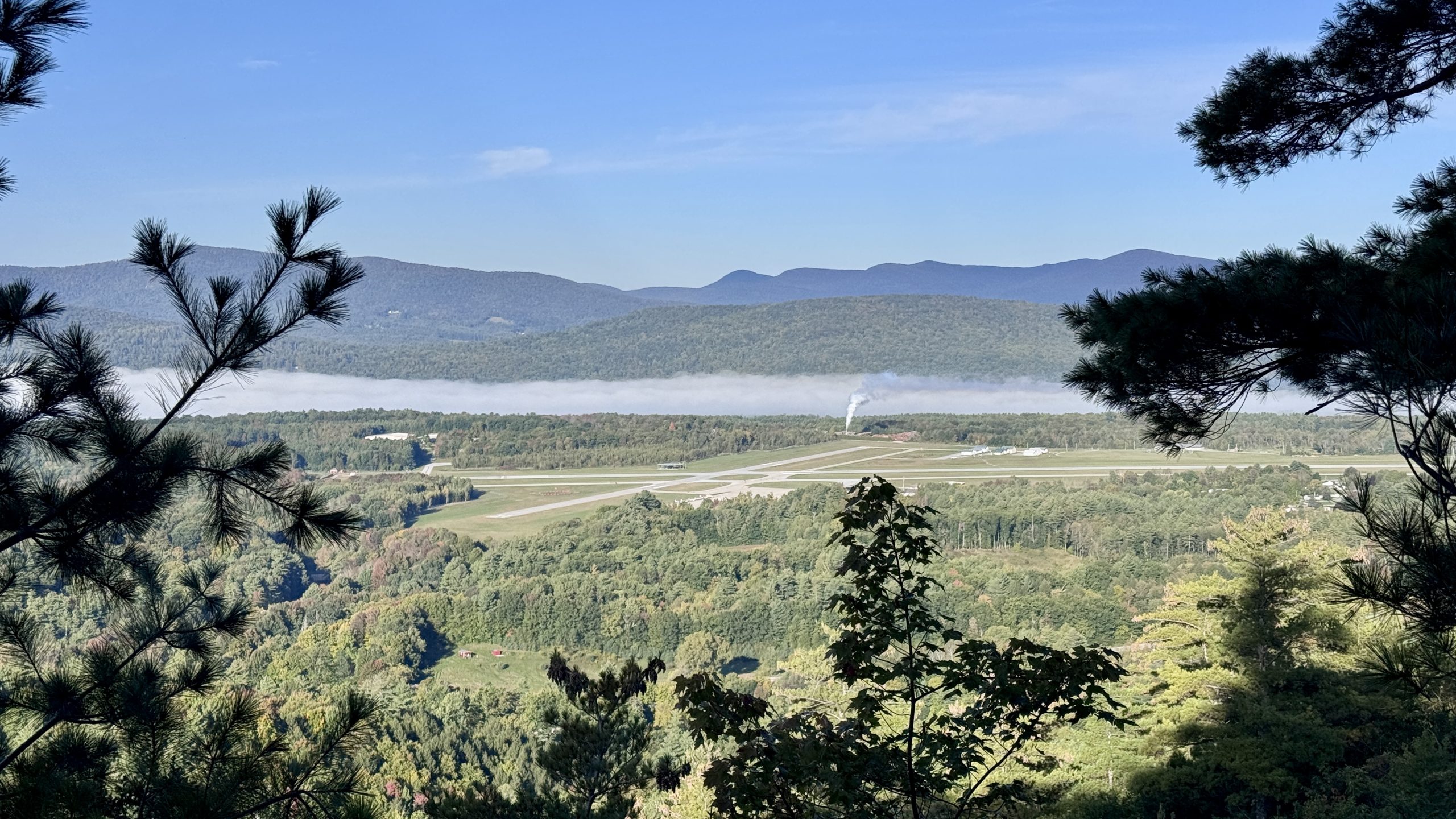
View of Rutland airport from the trail.
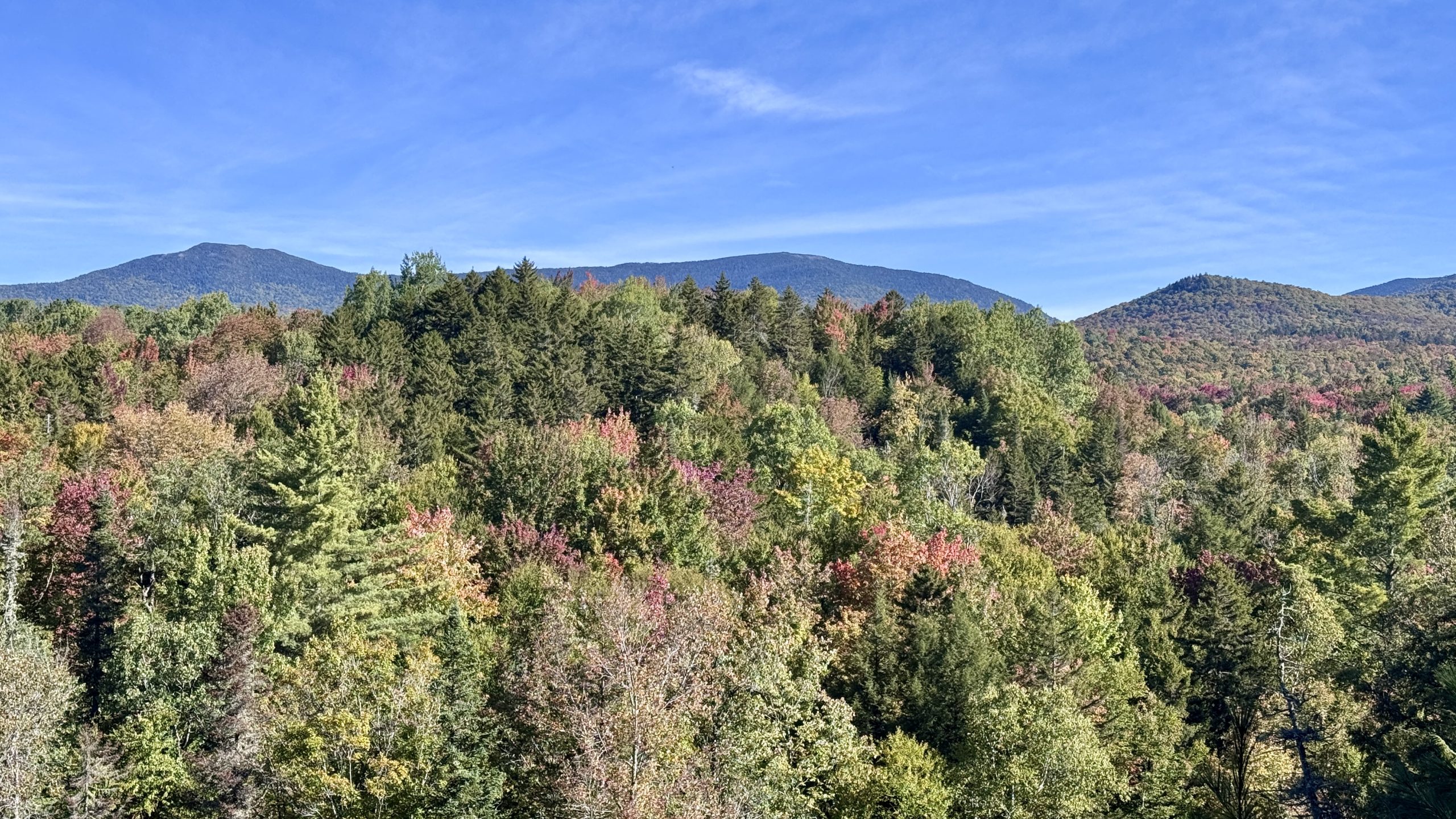
I’ll be honest, I can’t remember where I took this picture along the trail or if that might be Killington Peak or something else. Looks nice though right?
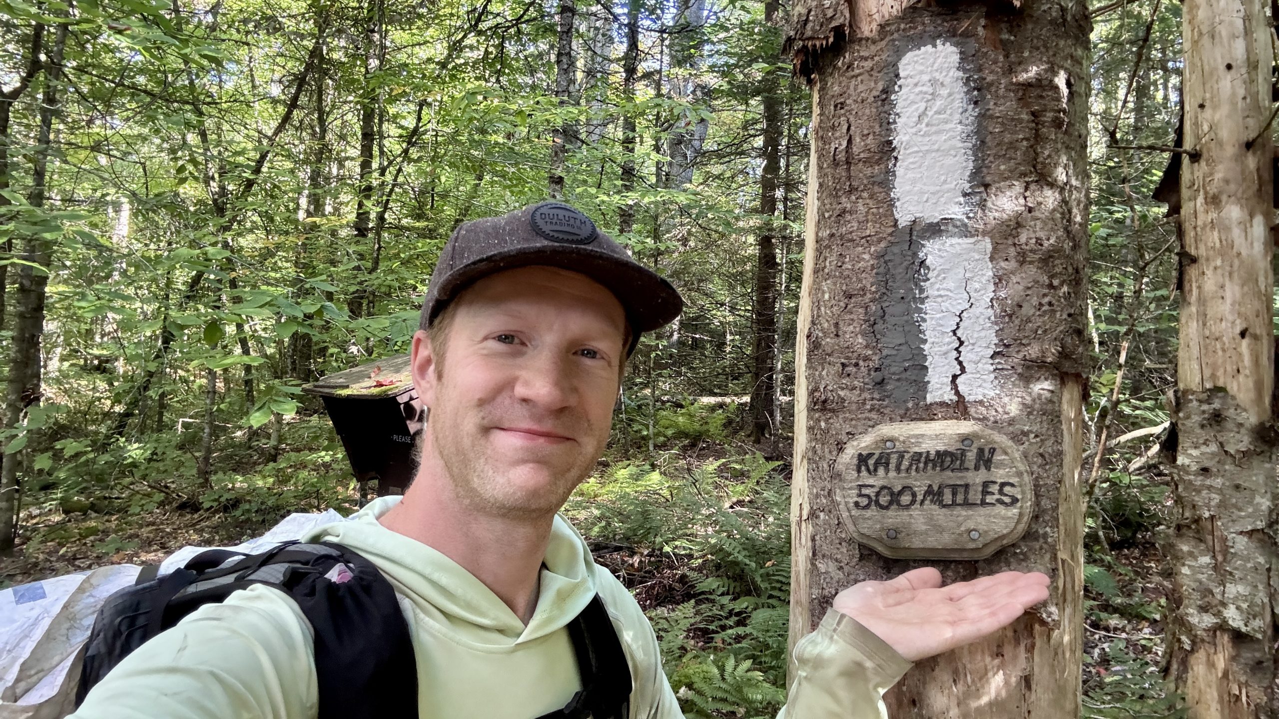
Apparently there is a big mountain about 500 miles from here.
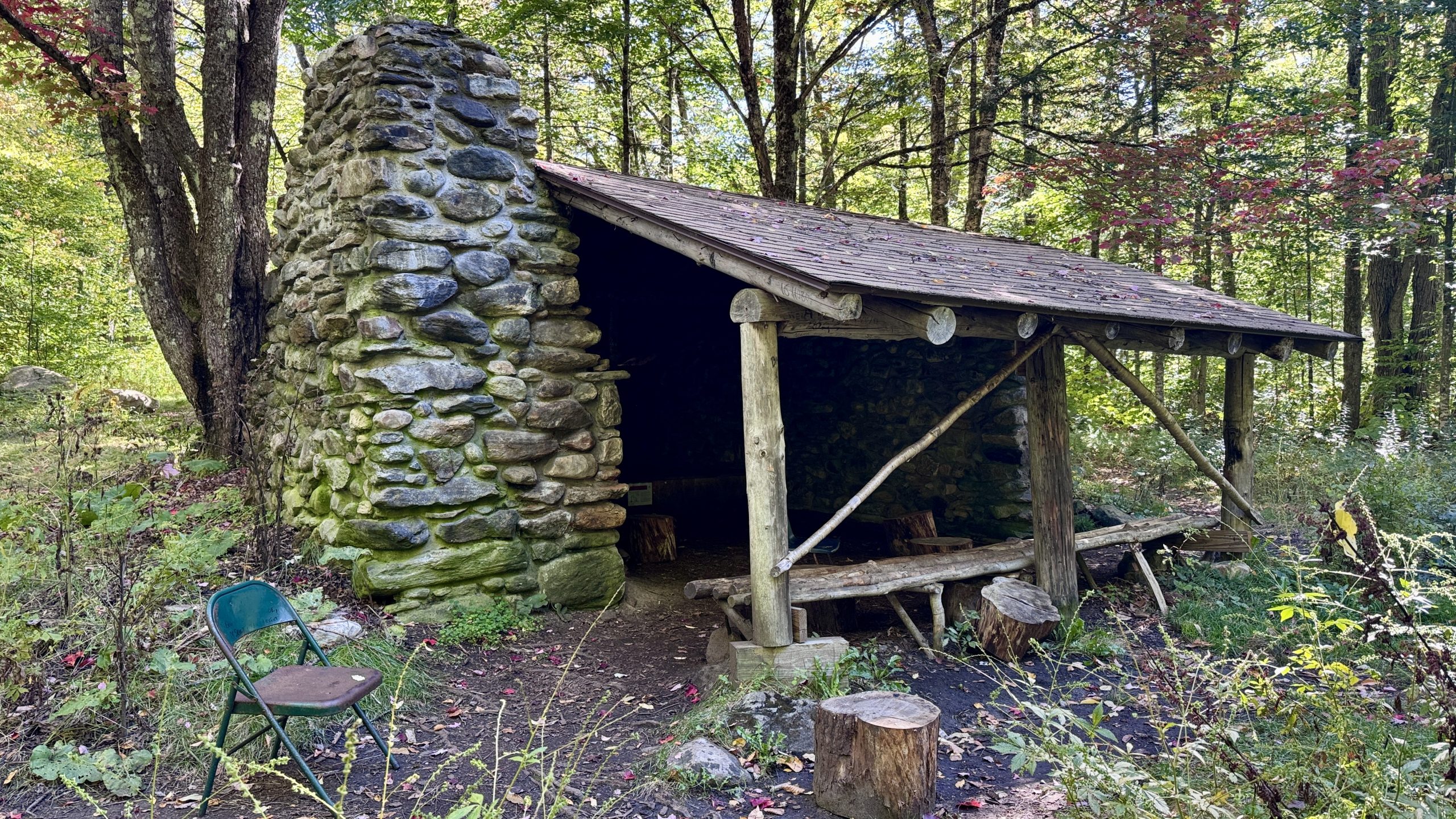
The Governor Clement shelter.
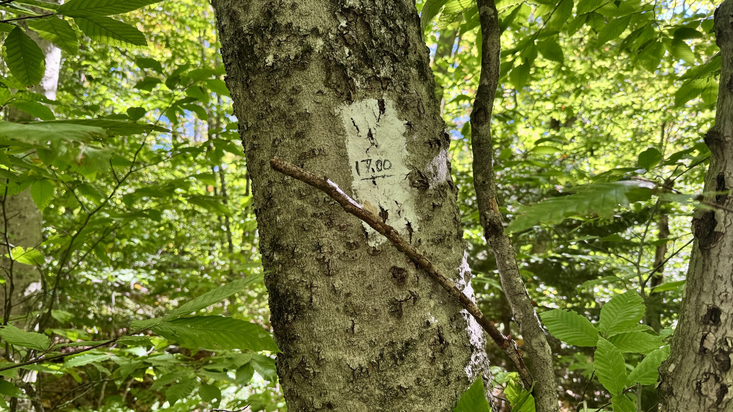
1,700 miles from Springer! Actually this was closer to 1,699.8 miles from Springer.
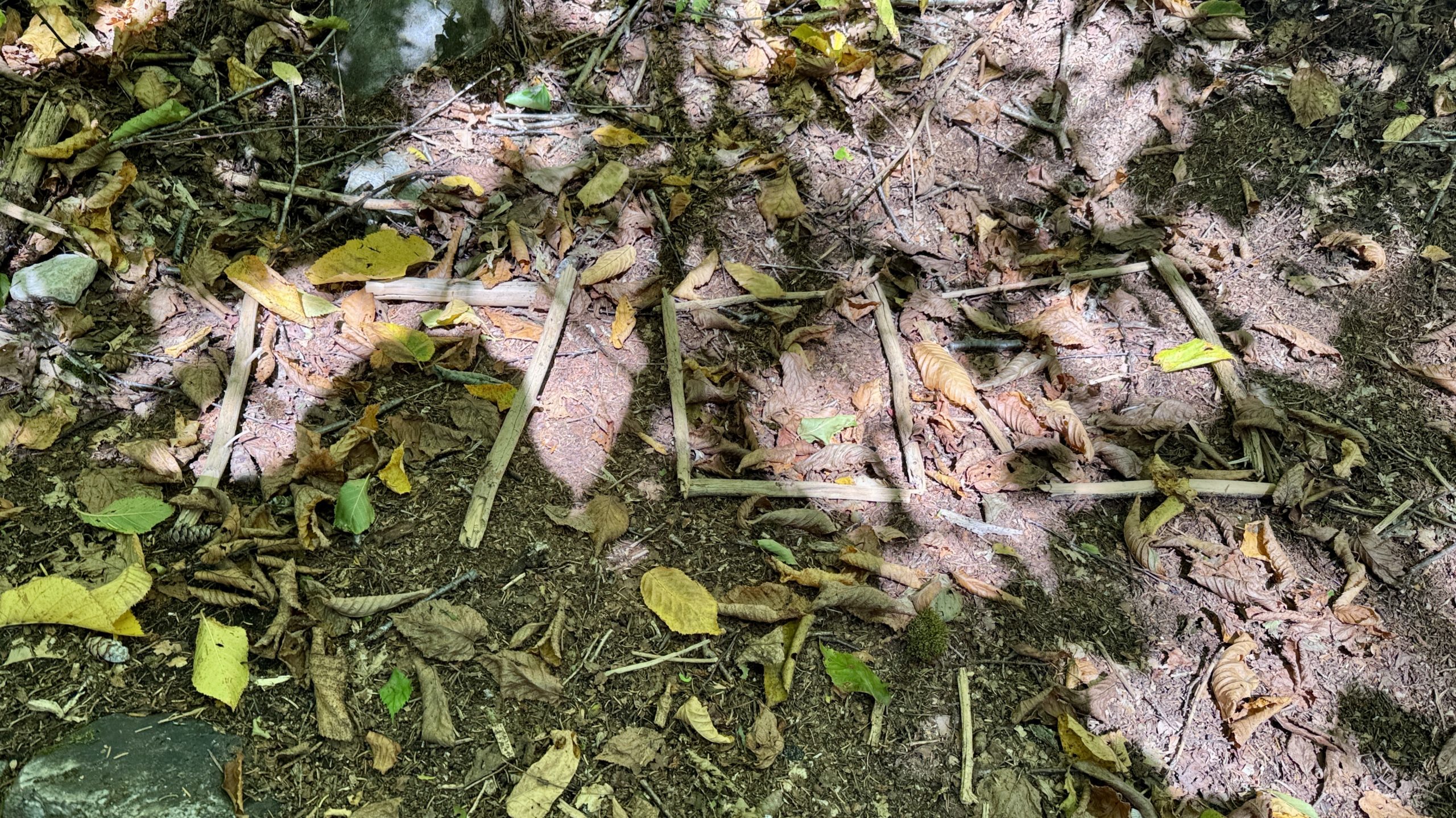
This 1,700 mile marker nailed it dead on.
Killington Peak
This trail was much more rugged than anything I’d seen that day or indeed in Vermont. I was glad I’d left my pack behind, it wouldn’t have been a pleasant climb with it on. Once I was at the top the views were fantastic, especially toward the nearby Pico Peak. There were far more ski trails down the slopes than I realized. This would certainly be a great destination for a Winter skiing trip.
I had a tight agenda for the day so I only spent a few minutes at the summit before bopping back down the steep trail to recover my pack and take a few minutes at the lodge to have a little snack and spend a few minutes off my feet. I entered the lodge at the same time as another hiker. He was familiar with the region and, upon hearing about my plans for the day, suggested that I might even try to push all the way to the summit of Pico Peak which he said had places to camp. I tapped on my phone a bit which revealed that it would only be another 0.8 miles more than my existing plan, albeit it would add another 800 feet of climb. I wasn’t even sure if I wanted to summit Pico Peak which would entail hiking a spur trail off another spur trail, the blue-blaze Sherburne Pass Trail. Maybe it is the natural inclination to try and do the most macho thing possible because I found myself awfully tempted by attempting to reach the peak and camp simply because it was higher up than my existing plan. Bigger is always better right?
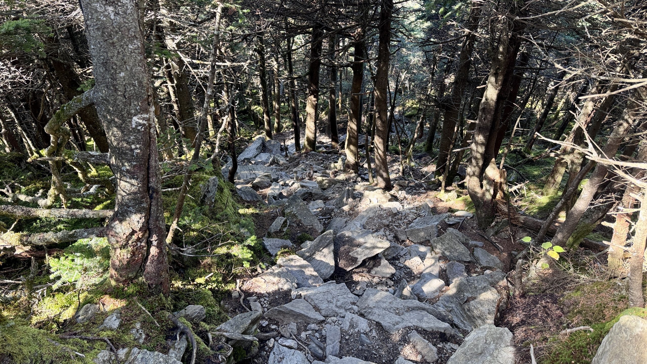
Yep, its a steep climb to the summit of Killington Peak.
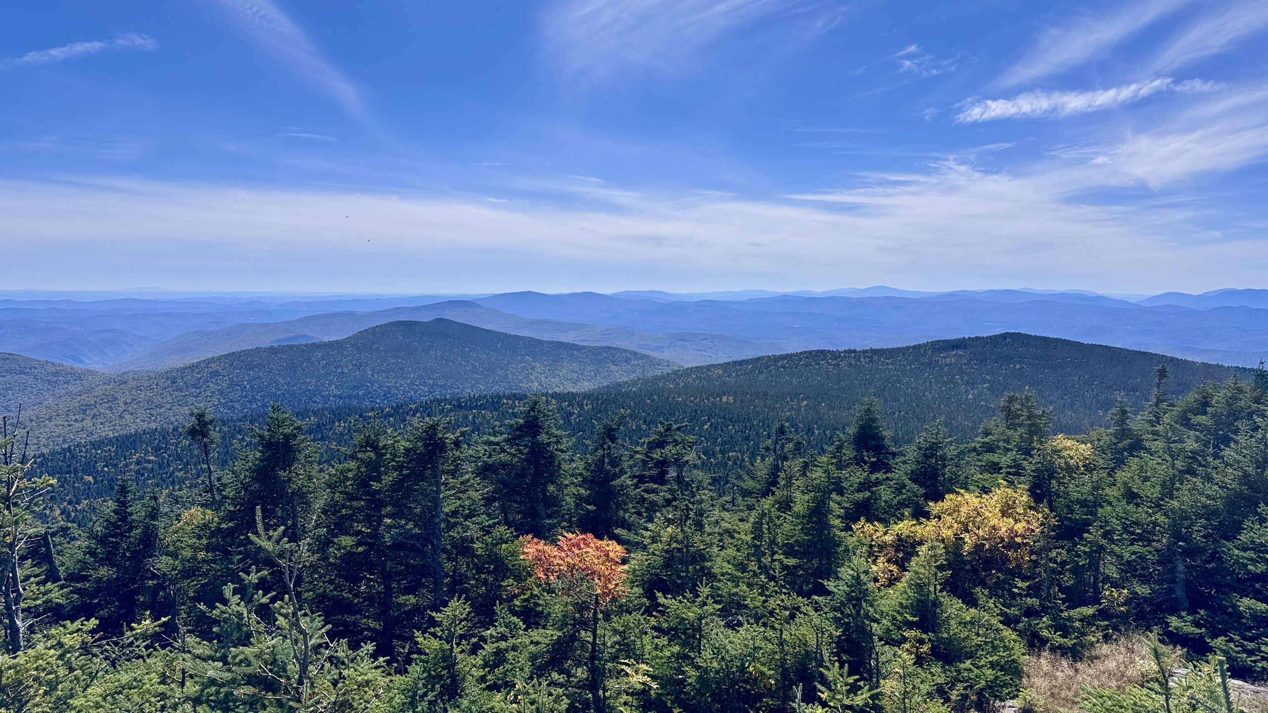
The view from Killington Peak.
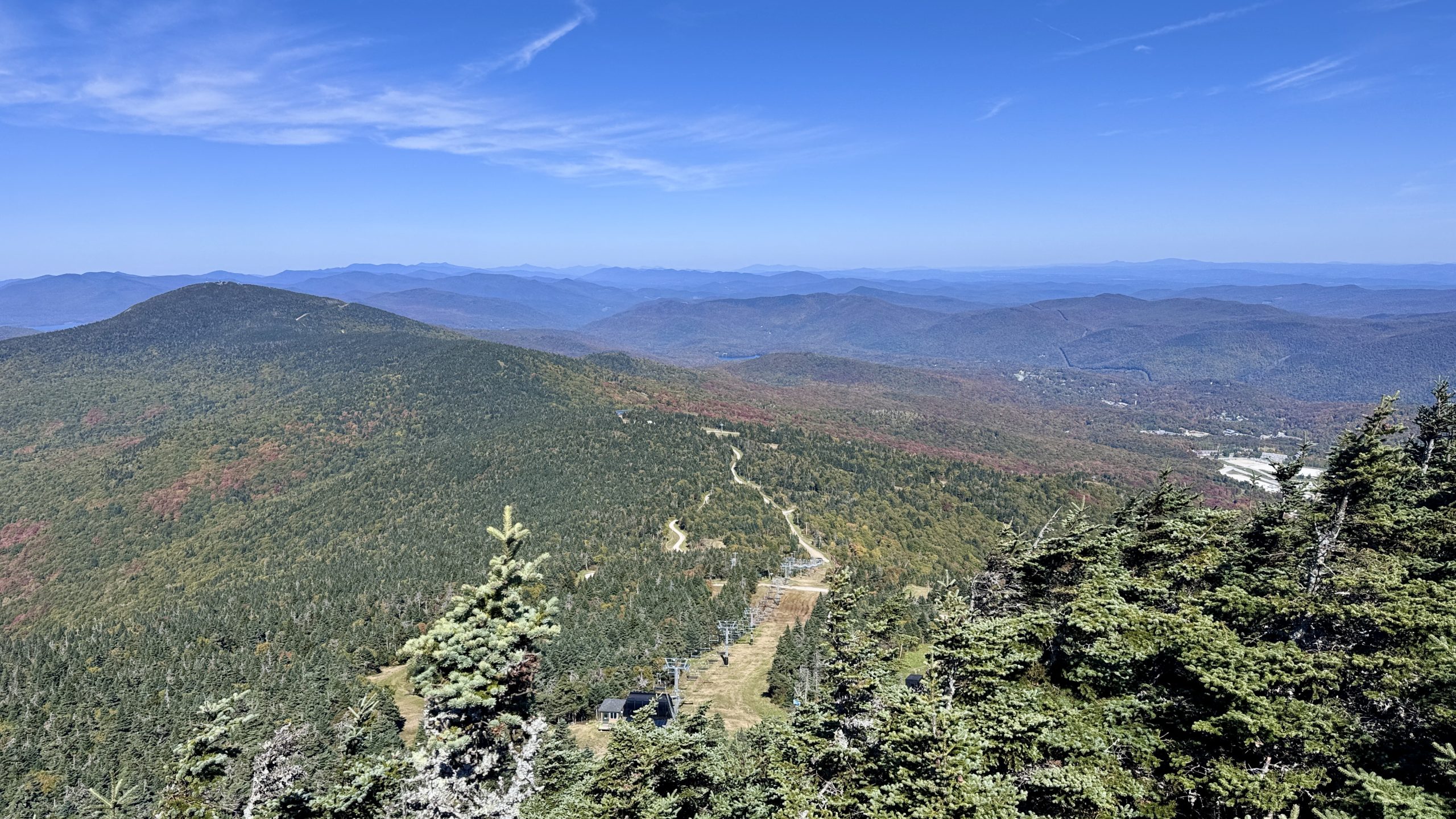
The view from Killington Peak.
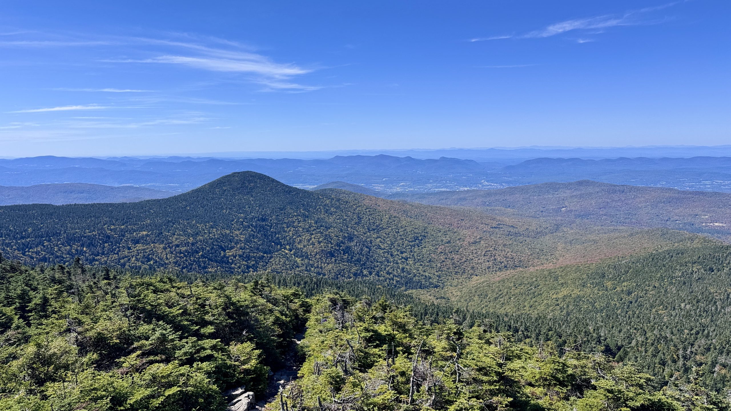
The view from Killington Peak.
Maine Junction
It would be tight time-wise so I cut my break short and took off down the AT toward Route 4. I gobbled more snack down along the trail to save time. The downhill miles flew by, I was definitely feeling the urgency of my mission. I only stopped when I got to Route 4 to wait for the traffic to clear. From there it was a small climb over about 1 mile to Maine Junction, which would not be easy to miss. I spent a moment appreciating the significance of this spot. Two famous trails shared a path for dozens of miles and then peeled away from one another, continuing a long way in separate directions. The North Country National Scenic Trail also has it’s eastern terminus right here. The western terminus is a brain-melting 5,000 miles of trail away. I can’t imagine hiking 5,000 miles of trail. One second thought I guess I can. I’d sure struggle to re-train to follow the CTA’s blue-blazes.
East of the junction I began to encounter more day-hikers, it was a Friday after all. Some of them seemed to be hiking up from Gifford State Park, which was my next destination since it is accessed from Route 100, which I’d reached yesterday. It is never especially enjoyable to hike downhill knowing I’ll simply be turning around at the bottom of the hill and trudging back up, but trudge I did. By the time I was back up at the junction with the northern end of the Sherburne Pass Trail day-hikers were a constant presence. Plenty had brought their pups along and it took a significant amount of my willpower to resist the urge to pet every single one for 10 hours straight. I also got a peek at Pico Peak back on the south side of Route 4. I definitely had made good time and felt good about reaching the summit before sunrise if I could keep hiking well.
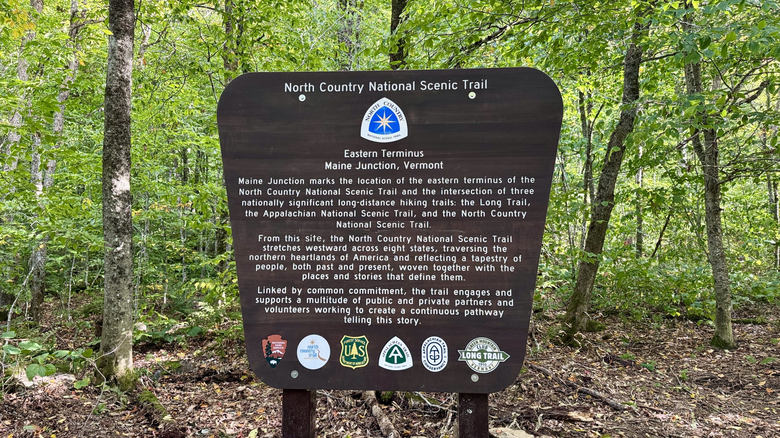
The sign at Maine Junction.
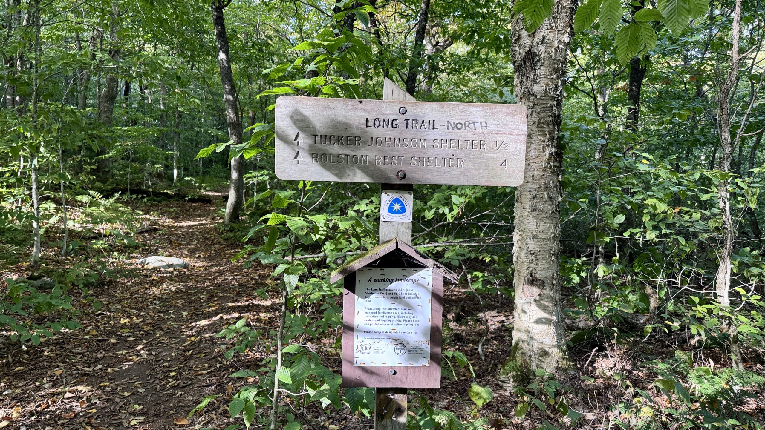
This would have been one heck of a wrong turn.
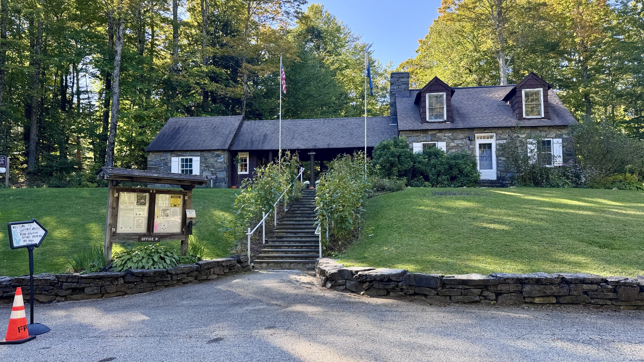
The Gifford State Park office.
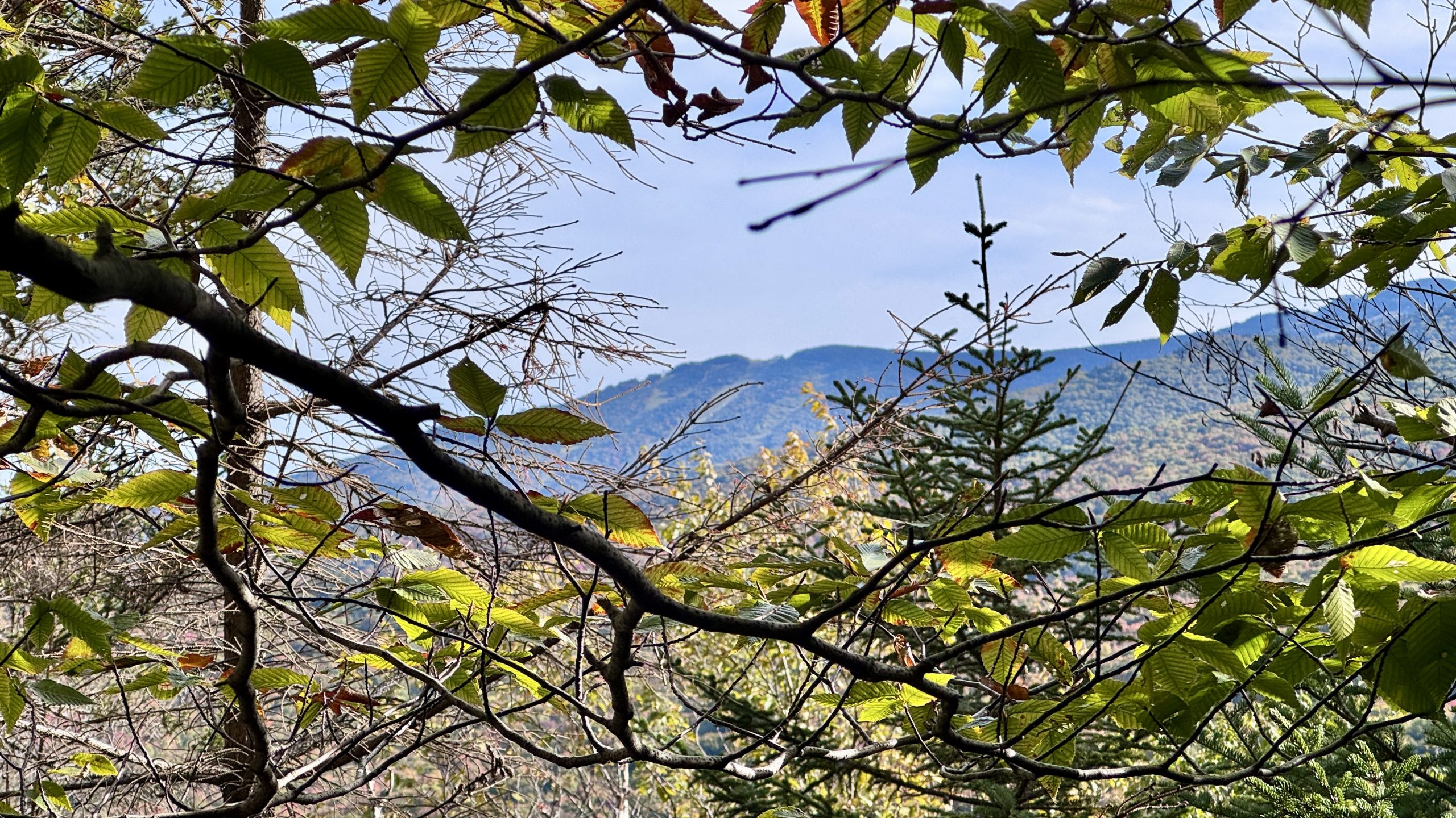
A little glance up at Pico Peak.
Hiker Brain
While making my way back down to Route 4 one of the passing day-hikers asked me if it was “crowded at the top”. She was referring to the Deer Leap overlook, the popular spot where all the day-hikers were heading on this lovely Autumn Friday. I hadn’t stopped by this overlook since it was a little out of my way. I thought she must have been referring to the top of one of the mountains on my brain had been focused on all day, Killington or Pico. My response mechanisms completely stalled, the question didn’t make sense. It would be silly to hike up to either peak this late in the day unless you were planning to camp there, which she clearly wasn’t. We weren’t on the right side of the road for those peaks either. I slowly started to think about peaks on this side of the road but I hadn’t passed any. Eventually it clicked that she was referring to the Deer Leap overlook, and I had to inform her that, unlike every other person on the trail, I was the only one that hadn’t been to the overlook.
Back down at Route 4 I found myself right in front of the Inn At Long Trail. It would have been a nice place to check out if I had time, but I had to dash (literally) across the road to stay on track and not get flattened by the passing cars.
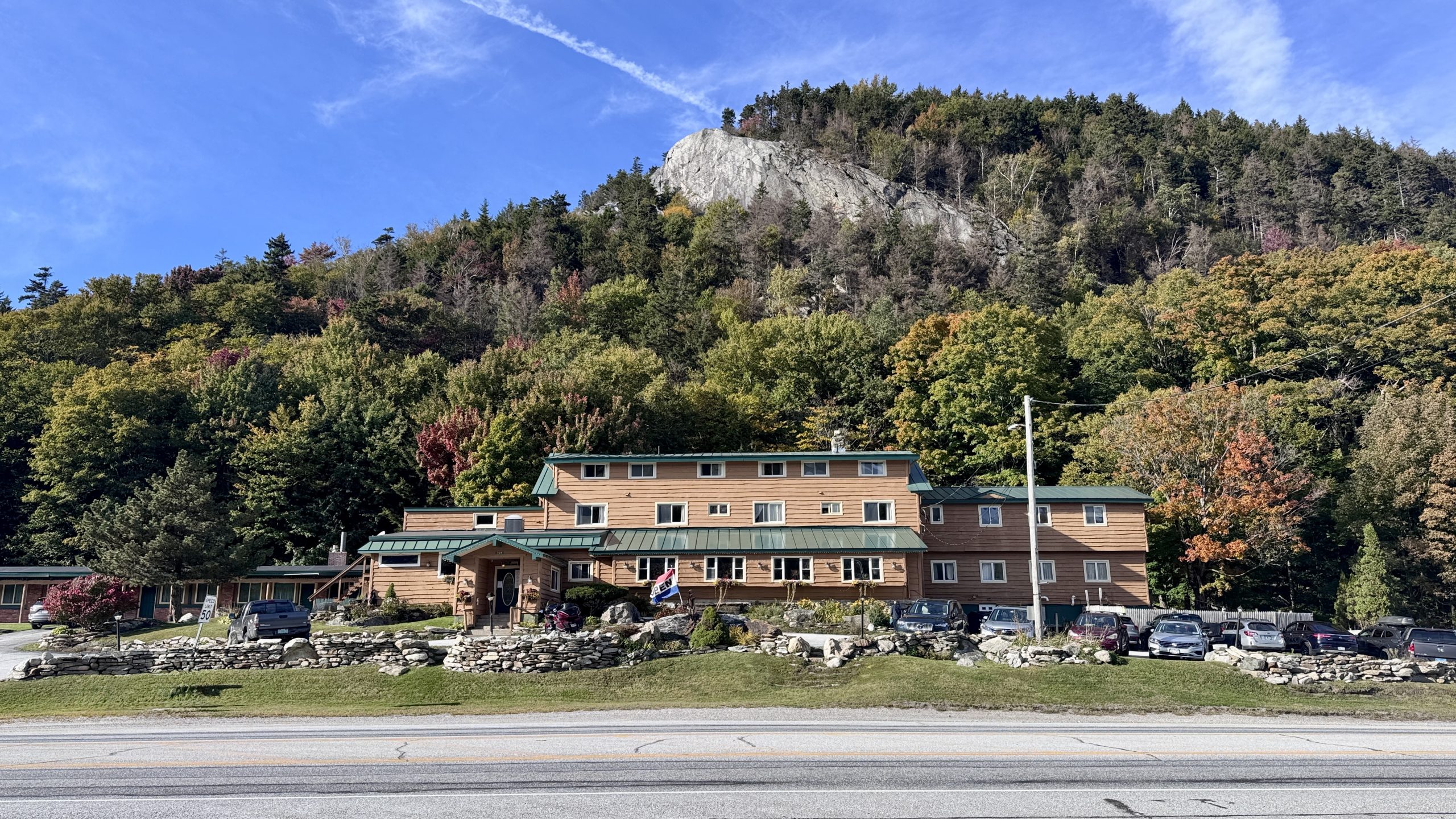
Deer Leap Overlook towers over the Inn At Long Long Trail on Route 4.
Pico Pinnacle
I had been hiking at a rapid clip all day and that continued with my final surge up Pico Peak. I made my first water stop of the day around 5:00PM a little more than halfway up the climb. I don’t recommend hiking more than 20 miles (probably closer to 25 for me today) without stopping for water but I was on a different level today. The fresh mountain spring water did taste amazing though and was well worth the 10 minute stop. It was a little difficult to restart hiking immediately afterward but I got going again and found myself crossing over a ski trail. I had a clear view of the Inn At Long Trail down below, it had shrunk considerably after I’d been hiking uphill for about an hour. The trail then bends around Pico Peak to the Pico Camp lodge, another rustic shelter. I filled up my water pouch from the piped spring near the shelter and found the spur trail to the summit behind the lodge. FarOut remarked that the climb was steep. I expected something like the trail up to Killington Peak, very steep and a bit of a pain with a pack weighed down by 2 liters of water. In reality it wasn’t a bad trail at all, the grade was easily half that of the trail up to Killington Peak, albeit a bit longer at 0.4 miles.
The final stretch of trail follows a ski trail to the old ski lift, which is perched right at the summit. The sun was still hovering over the horizon, I had made it with about 30 minutes to spare. There was a problem though, I didn’t have a clear view of the sunset from anywhere I could see. I began traipsing around the summit, examining the ski lift, first aid station, a few ski trails leading down from the summit, and several radio towers.
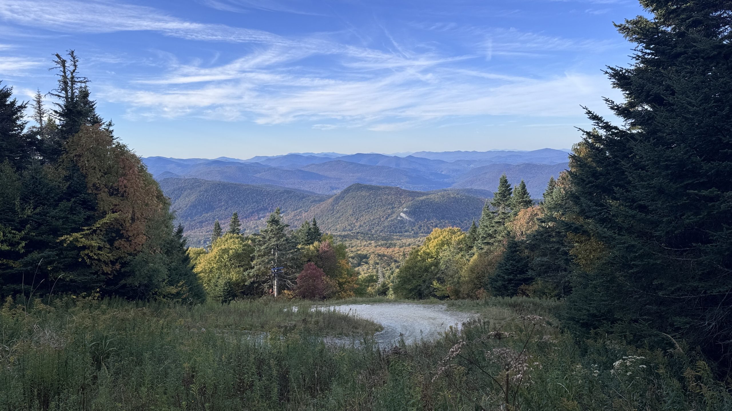
Deer Leap Overlook and the Inn At Long Trail look a wee bit smaller from here. Let me zoom in for ya.
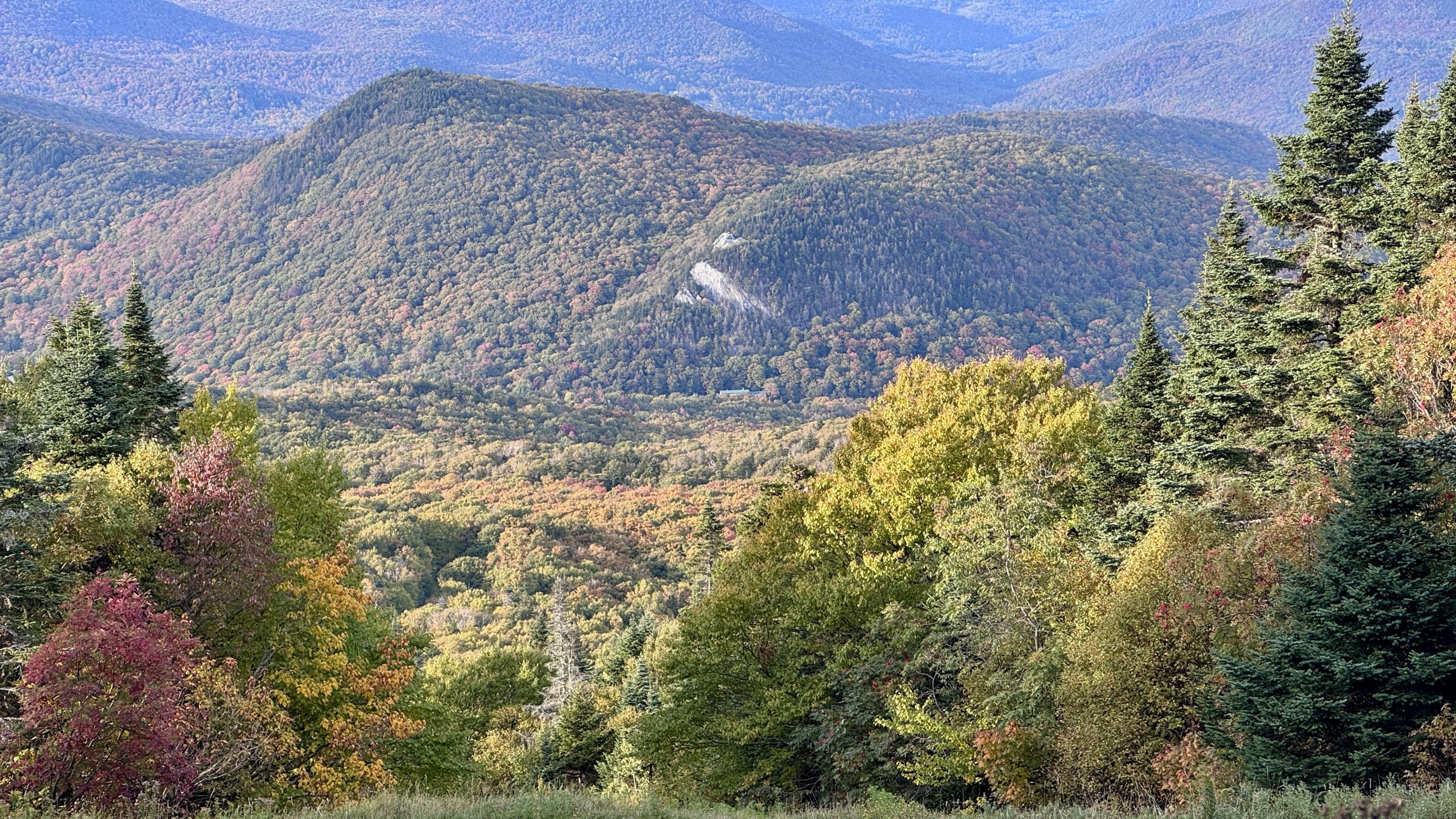
Here is a closer look at Deer Leap Overlook and the Inn At Long Trail.
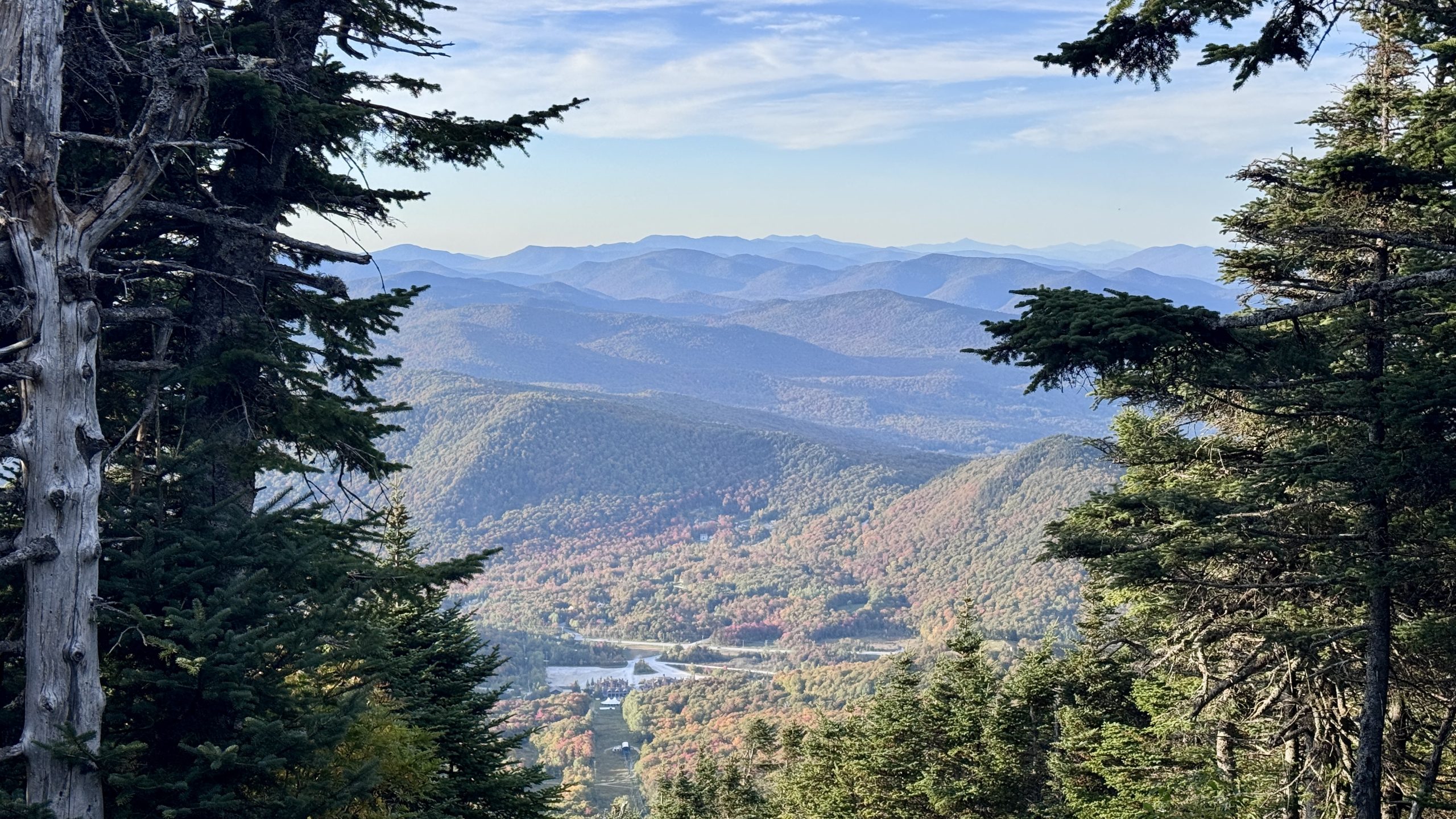
One more look at Deer Leap Overlook and the Inn At Long Trail from the summit of Pico Peak.
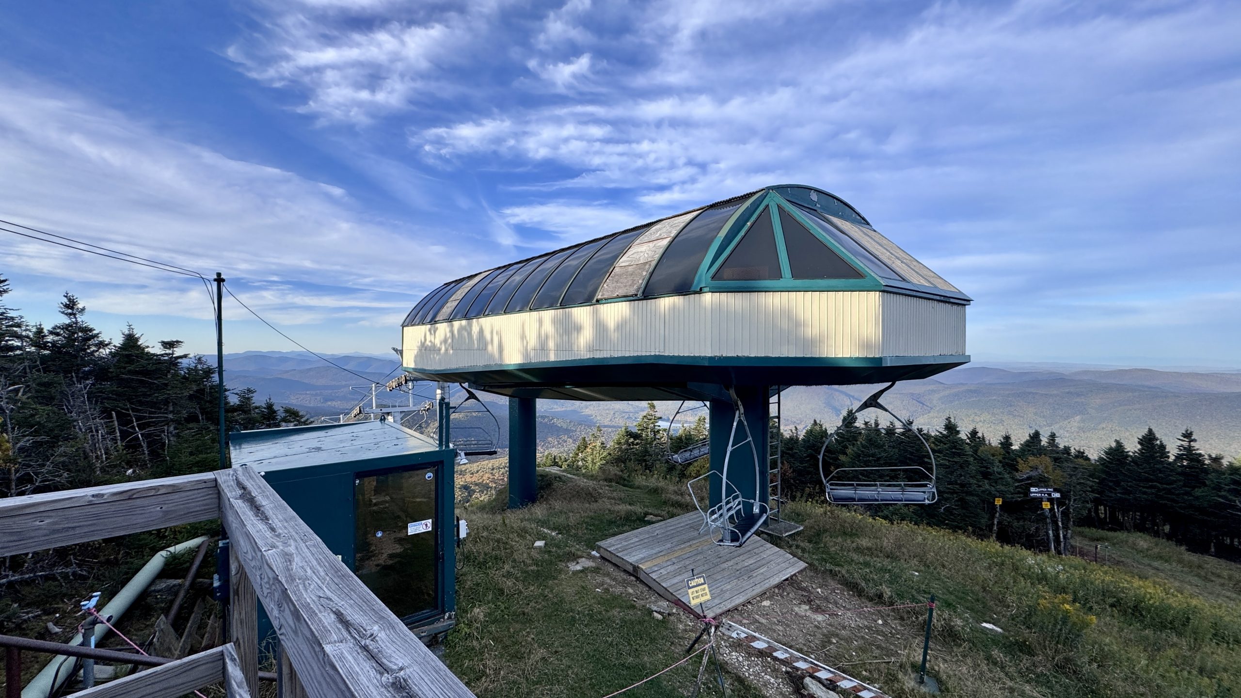
The old ski lift at the summit of Pico Peak.
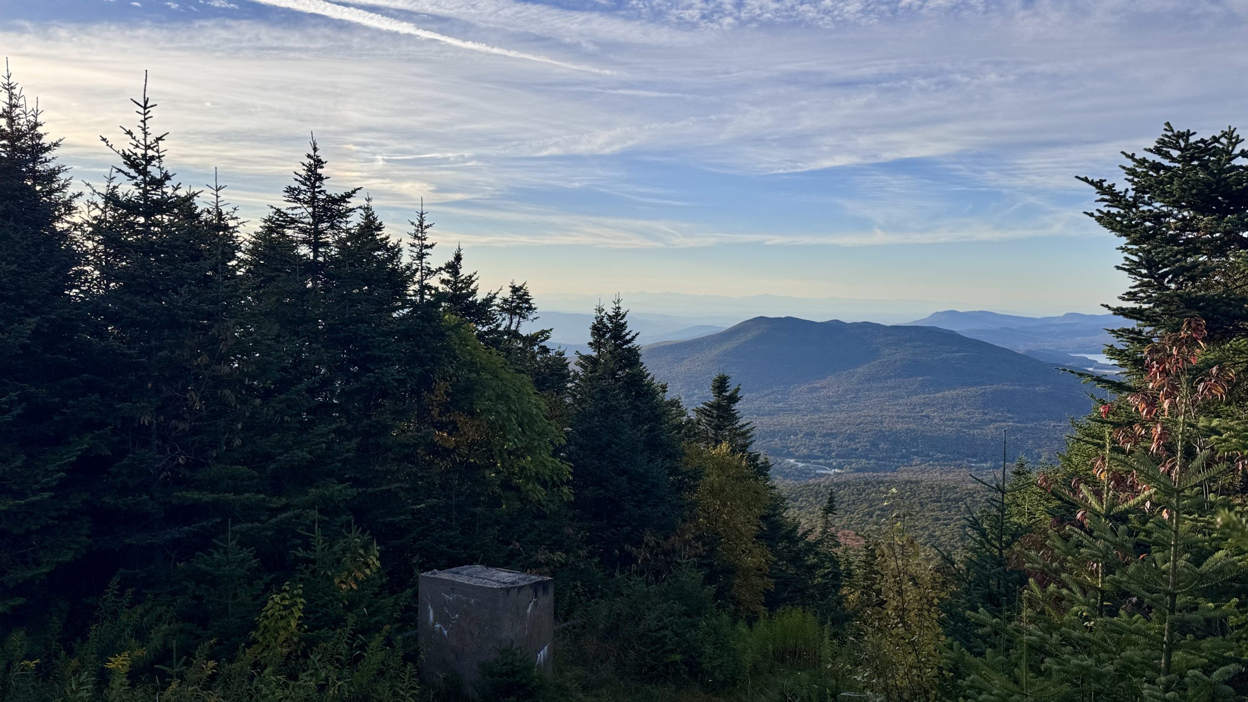
View down a ski trail from the summit of Pico Peak.
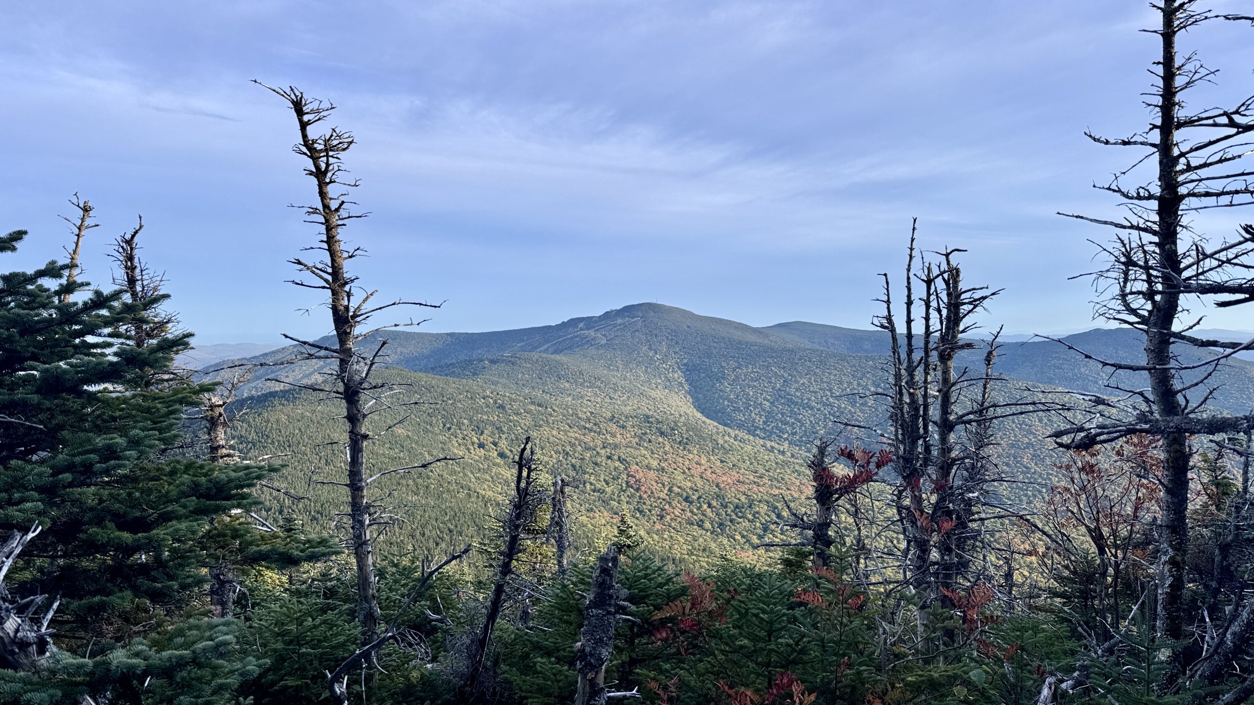
Looking at Killington Peak from Pico Peak.
Pulchral Pico
I let the sun guide me west toward a radio tower on the summit which was surrounded by a locked chain-link fence. I noticed a path around the fence to the right and followed it to a short trail. I was certain this would take me to the western slope and a decent view of the sunset. There were small openings along the trail with spectacular views of Killington Peak. Further down the trail I found exactly what I was hoping for – a wide open view to the west. It would be perfect for sunset, and even had a perfect rock for me to park on. I hiked back up to the summit and spent about 10 minutes looking for the best spot to pitch my tent. A lot of the summit was rocky and slanted. A few flat spots were directly in the path of the prevailing wind. I ended up camping about 30 feet from the summit point next to the Pico Lodge hiker warming hut. True to its name, the inside of the hut was indeed warm. I could probably have slept there in comfort it weren’t for the stagnant air smell. Not that my tent smells better, but the smelliness of my tent is my smelliness. Its different.
With camp set up I brought my dinner and sleeping layers down to the view from Pico Peak’s western slope. The spot even had a nice rock to sit on while taking in the sunset. The mix of blue sky, mountains, and wispy clouds made for an astonishing sunset. I hardly get time to enjoy views during the day, so I have been going to greater and greater lengths to camp at places with a view so that I can spend time to really appreciate them. This was a perfect example of those efforts paying off. The colors after sunset were incredible. I happened to notice that clouds above Killington Peak were illuminated by the fading sunlight at just the right time. Two layers of normally white clouds were now glowing with a gradient between pink and light orange. Back at the sunset the colors continued evolving, extending the experience for nearly 15 minutes. This will rank as an all-time sunset, getting to experience it more than paid off all the hard work I’d done hiking like mad all day.
I stayed at the viewpoint until all the colors faded. I stored my pack and everything I wouldn’t be needing through the night in the hiker warming hut. I hoped I’d get a similar experience at sunrise tomorrow. I expected a chilly morning with plenty of wind, having all my things in the hiker hut would make it a much more pleasant dawn.
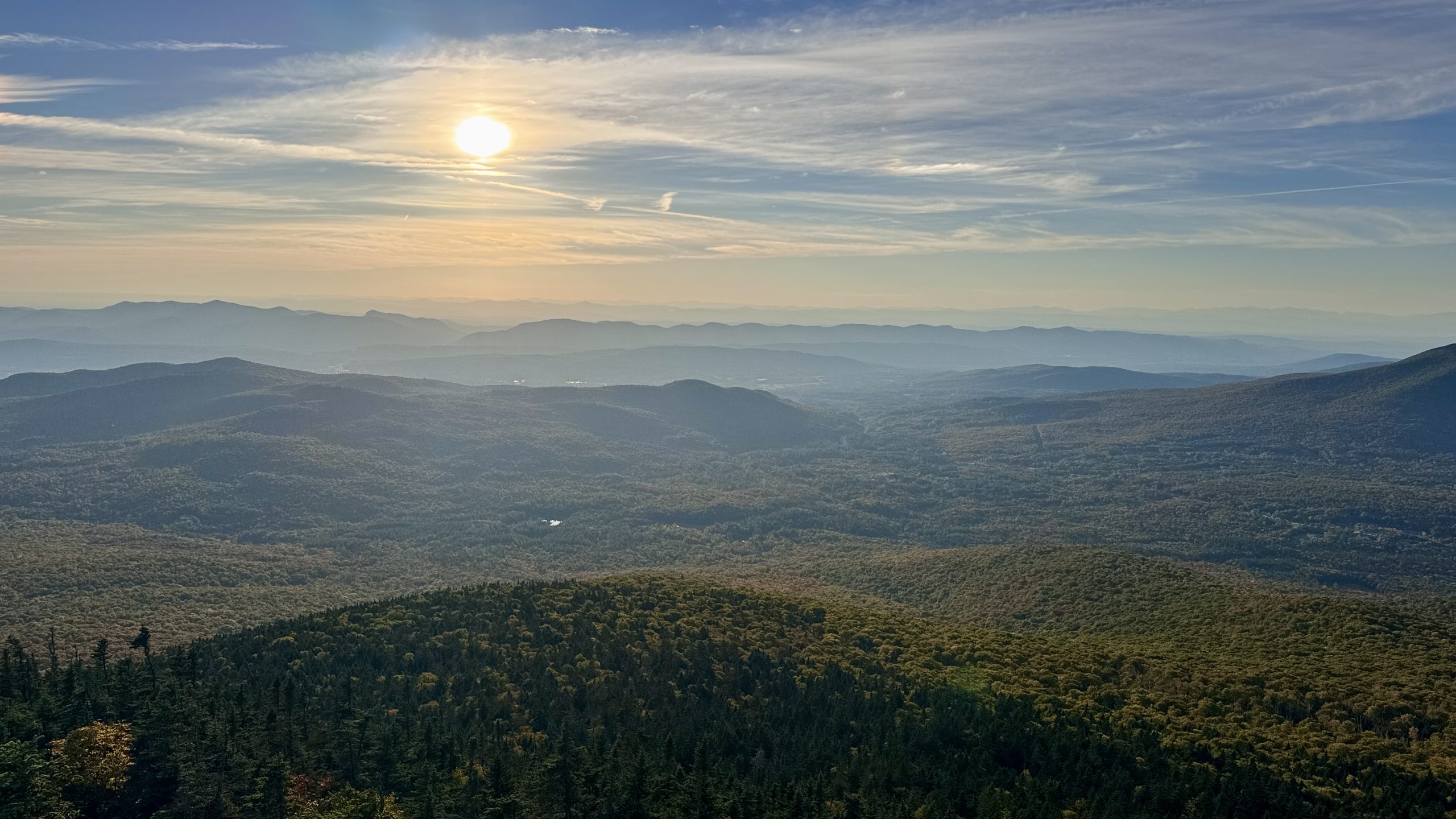
Oooooooh yes. This spot’ll do nicely. I have about 30 minutes to set up camp and circle back here.
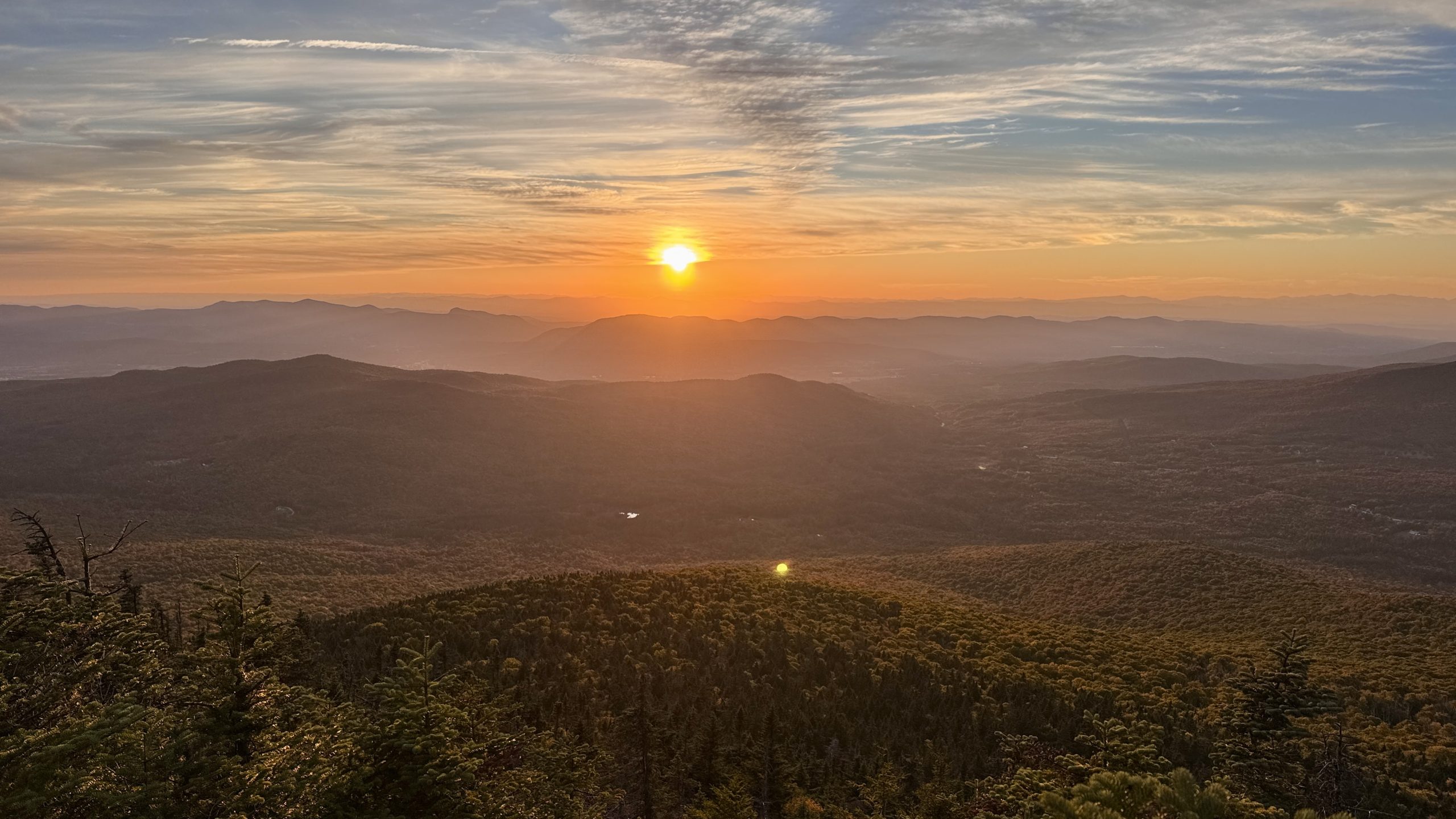
This sunset might be amazing.
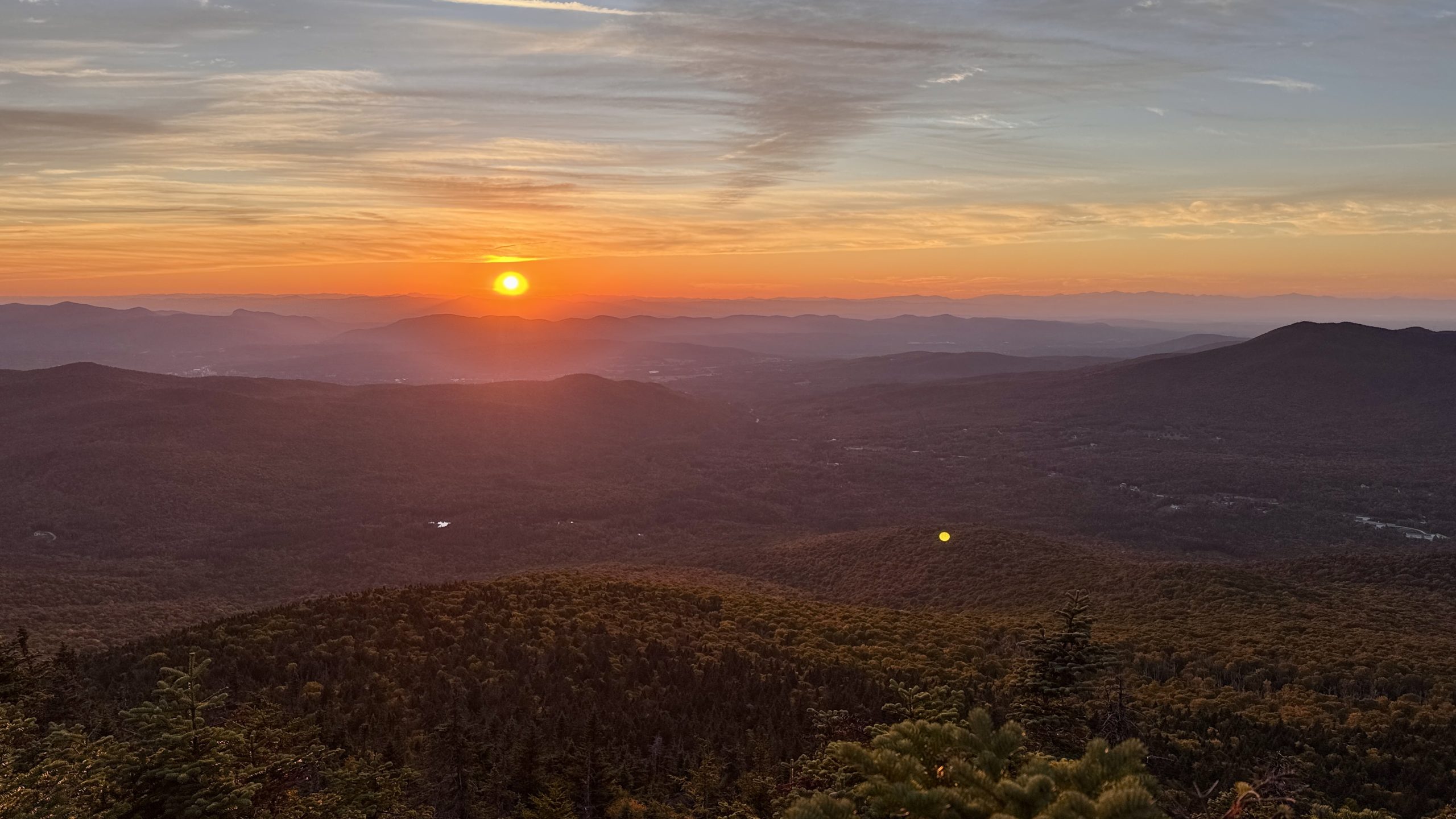
Not too shabby.
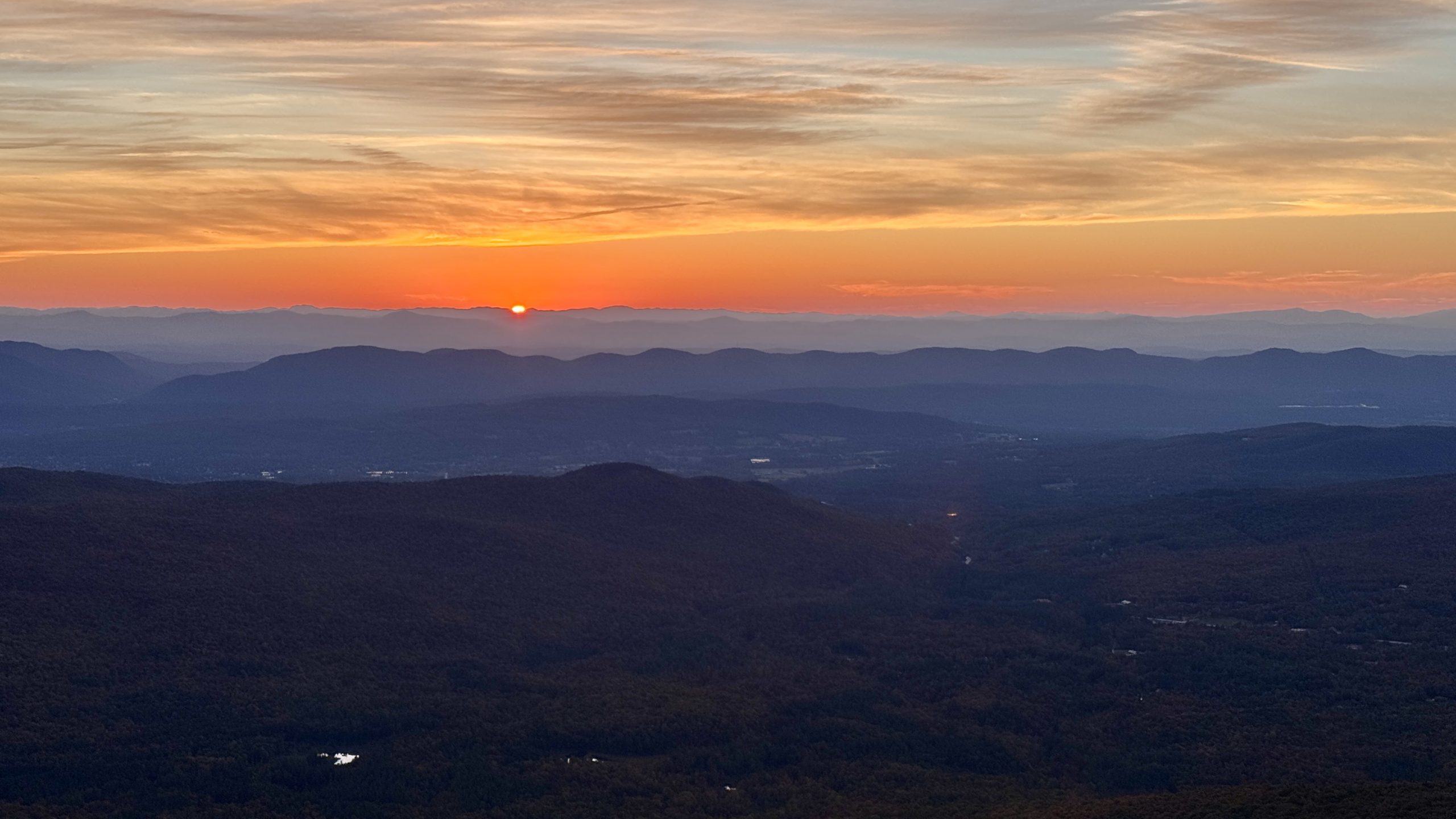
I love the evolution of light and color as the sun passes below the horizon.
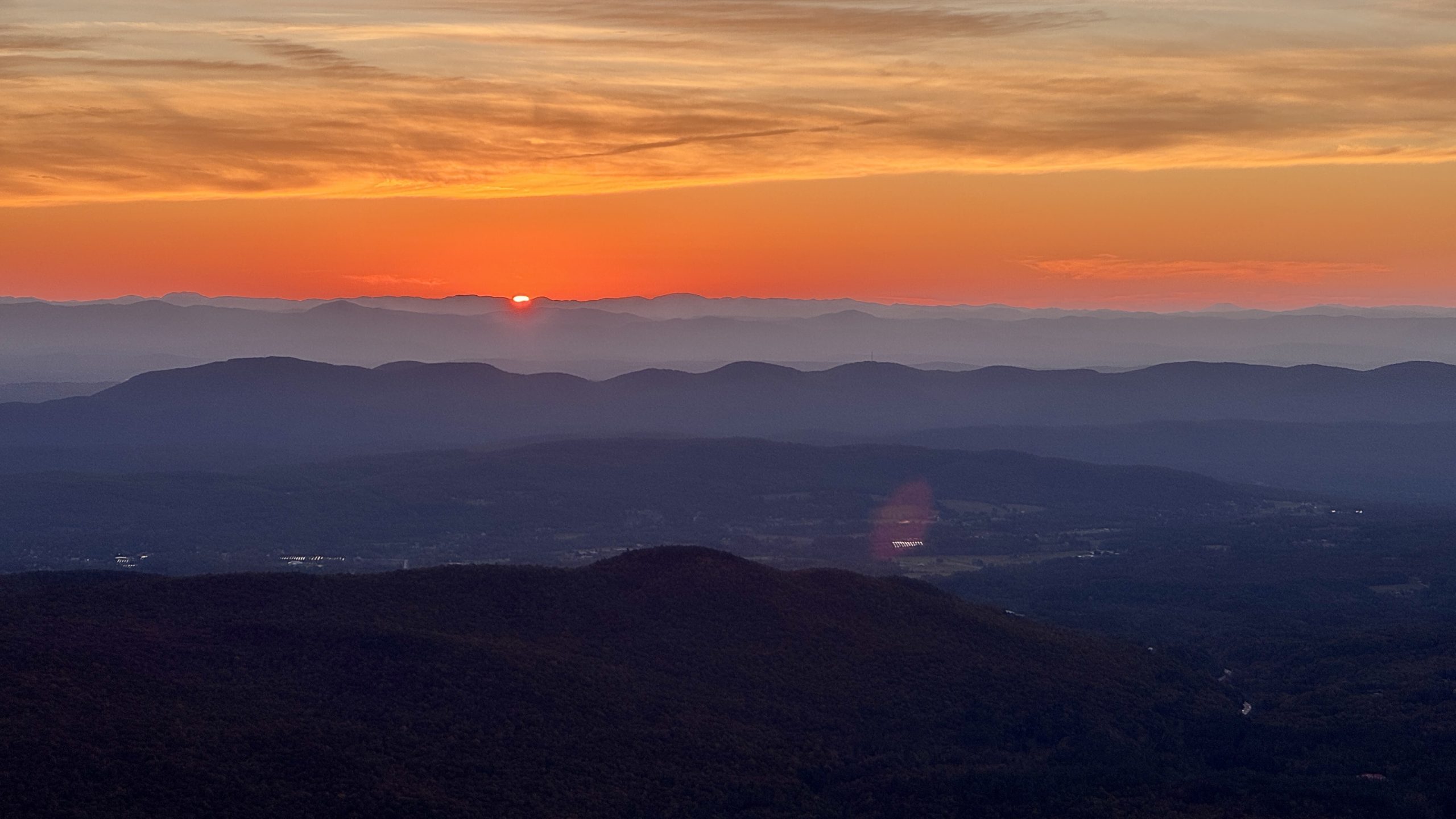
See You Tomorrow.
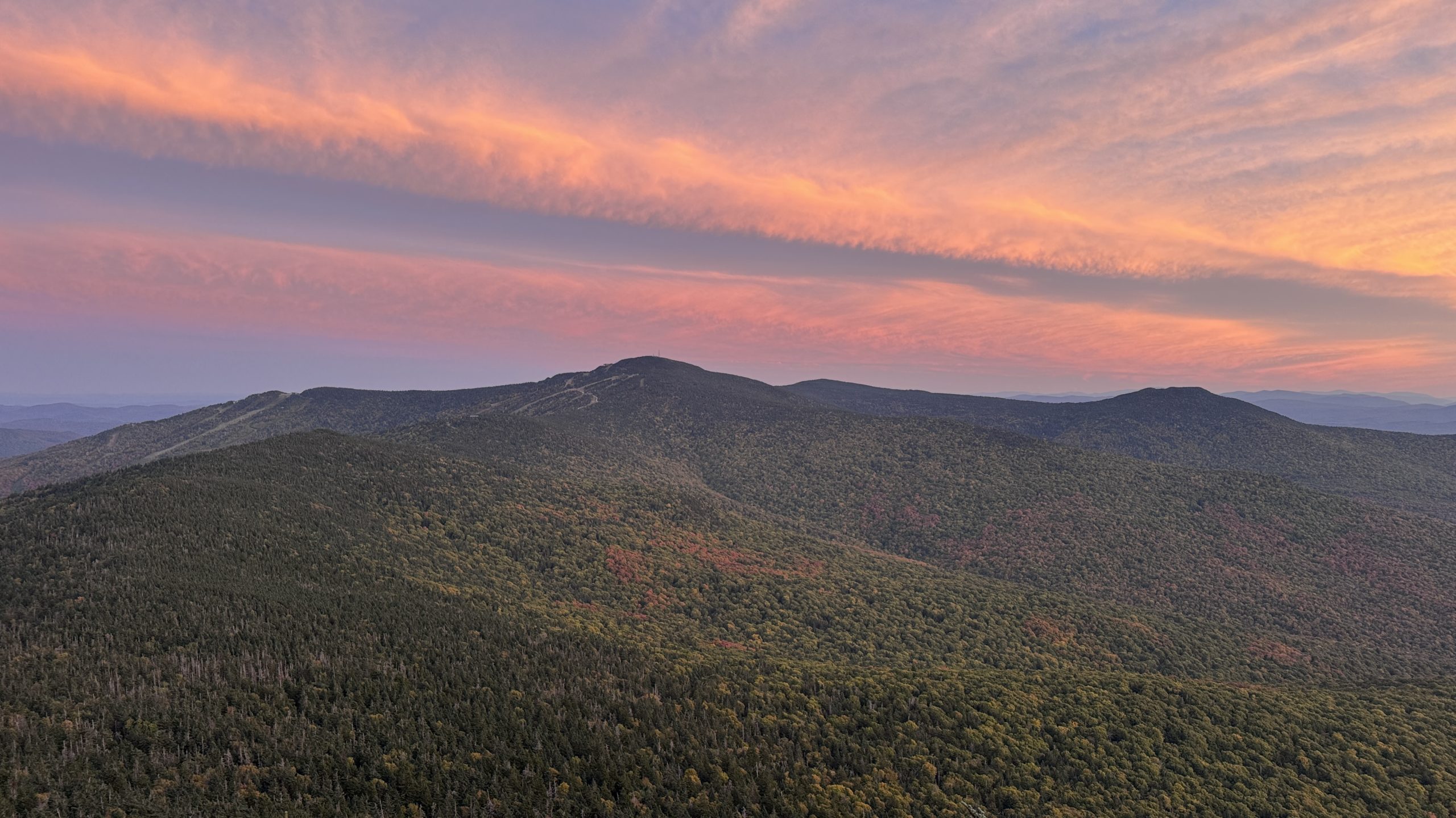
A little post-sunset glow over Killington Peak.
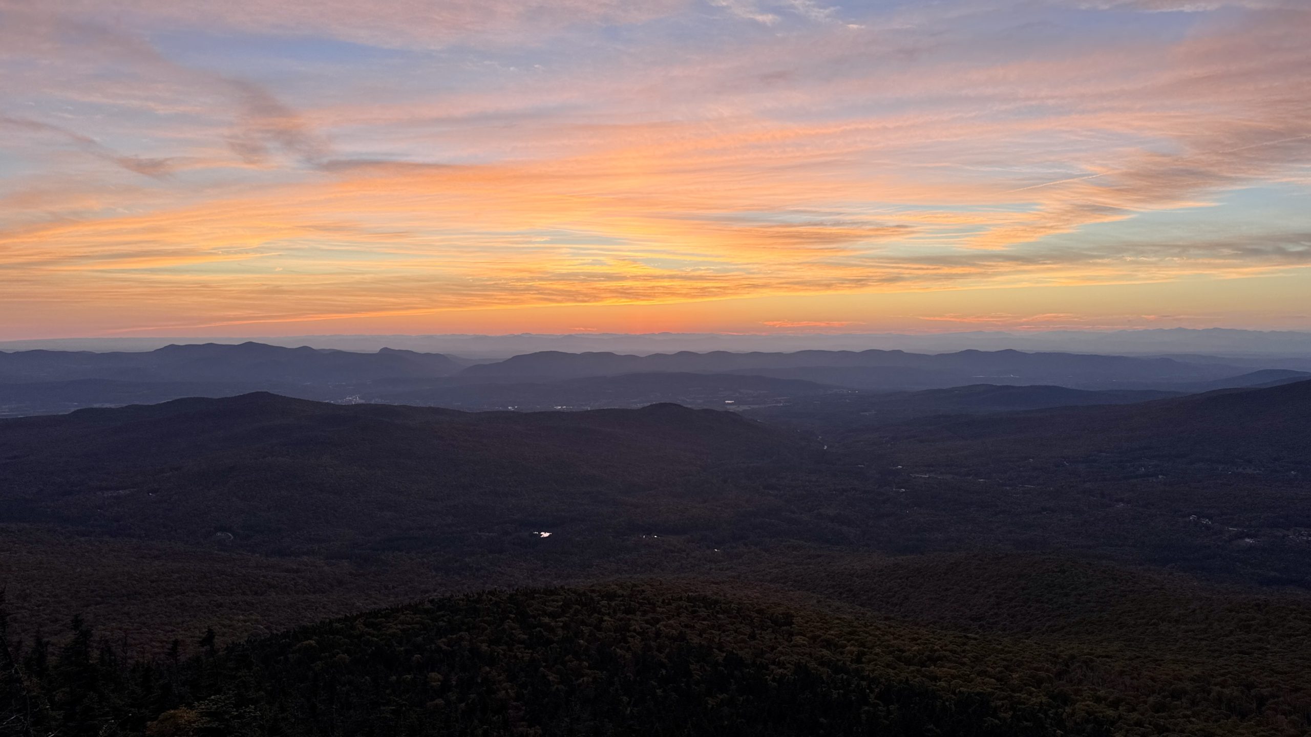
Sunset working overtime.
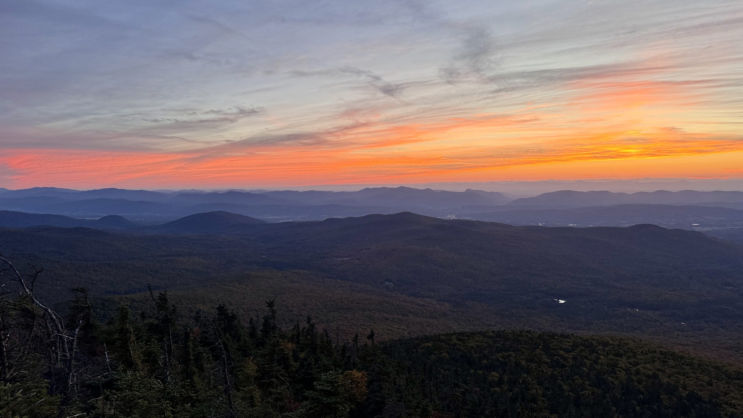
Still such incredible color.
-See You Tomorrow
| Leg | Start | Mile | End | Mile | Ascent | Descent | Direction |
|---|---|---|---|---|---|---|---|
| 1 | VT Route 103 | 1,690.9 | VT Route 100 | 1,712.0 | 5,234 | 4,508 | NOBO |
| 2 | VT Route 100 | 1,712.0 | Jungle Junction* | 1,704.9 | 2,727 | 870 | SOBO |
Total: 28.2 miles, 59,009 steps
- Type of hiking: Backpacking
- Camp: Tent, Pico Peak
*Note: I mark my ending point as the Jungle Junction which was a short distance from Pico Peak. This is where the Sherburne Pass Trail reconnects to the Appalachian Trail. My mileage tracking strictly follows mile markers on the AT whenever possible.

This website contains affiliate links, which means The Trek may receive a percentage of any product or service you purchase using the links in the articles or advertisements. The buyer pays the same price as they would otherwise, and your purchase helps to support The Trek's ongoing goal to serve you quality backpacking advice and information. Thanks for your support!
To learn more, please visit the About This Site page.
Comments 4
Incredible pictures. Thank you for sharing your journey. Ive been following and am truly enjoying it!
I am truly enjoying your consistent positive comments 🙂
Wow. Just wow. Your photography is reliably sensational, and following your journey has become a highlight of my day. Many thanks
That is so nice to hear, thank you! This was an amazing spot, I am glad I had it in me to make it all the way to the summit and get these pictures, it was a fantastic evening.