
 ">

Luce’s Lookout
Wednesday, September 23rd, 2026
Something about the Appalachian Trail seems to bring out the generosity in Vermonters. Today might be the best example yet.
Important
Road May Be Icy. My van’s gauge cluster is always looking after me. It likes to show me this message whenever the temperature outside is below 37 degrees. The temperature sensor also seems to have a margin of error of plus or minus 5 degrees, so sometimes the warning feels a bit premature. I was on my way to Pomfret Road to start another 2-day backpacking stint heading south from the point I turned around on Monday. I expected a trailhead at the crossing but there was only a bit of space off to the side of the road. I didn’t want to leave my van there overnight, so I scraped together another plan. I’d drive a few miles to the next crossing south, do a quick out and back to Pomfret Road, and then backpack south as planned, albeit camping somewhere a bit closer so I could keep the mileage roughly the same between today and tomorrow. Well, when I arrived at the AT crossing at Stage Road things weren’t much better. The space on the side of the road was slightly larger, but it still wasn’t a place I was comfortable leaving my van.
I decided to call the same play and target the next road crossing. This brought me past the Teago General Store. I couldn’t help myself, I had to stop in for my coffee fix before finally arriving at the Barnard Gulf Road Trailhead on Route 12. This was a proper trailhead parking lot, albeit a tight one. The first order of business was to hike north to Pomfret Road and back. These few miles took me past some fields and several road crossings. The highlight was a closer look at something I hadn’t noticed earlier when I drove by the Stage Road trail crossing. A crutch was leaning against the trailhead marker. My initial thought was that someone had left it behind. My second was “How did they manage that?” Upon closer examination the crutch handle had something written on it. One side read Important, the other read For Injured AT Thru Hikers. Another example of Vermonters hospitality, and a rather unique one at that.
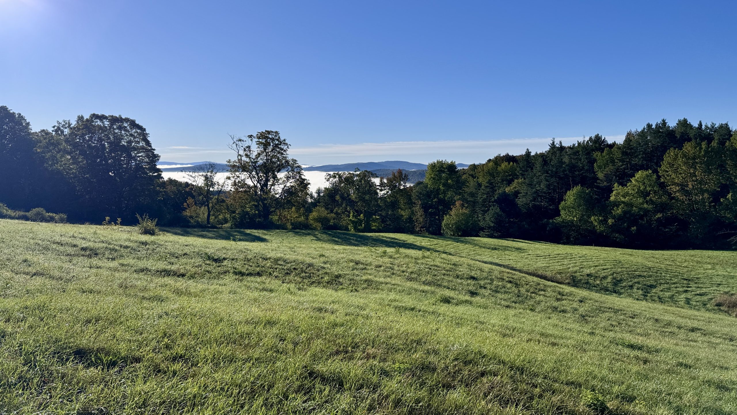
Passing through a field early in the morning.
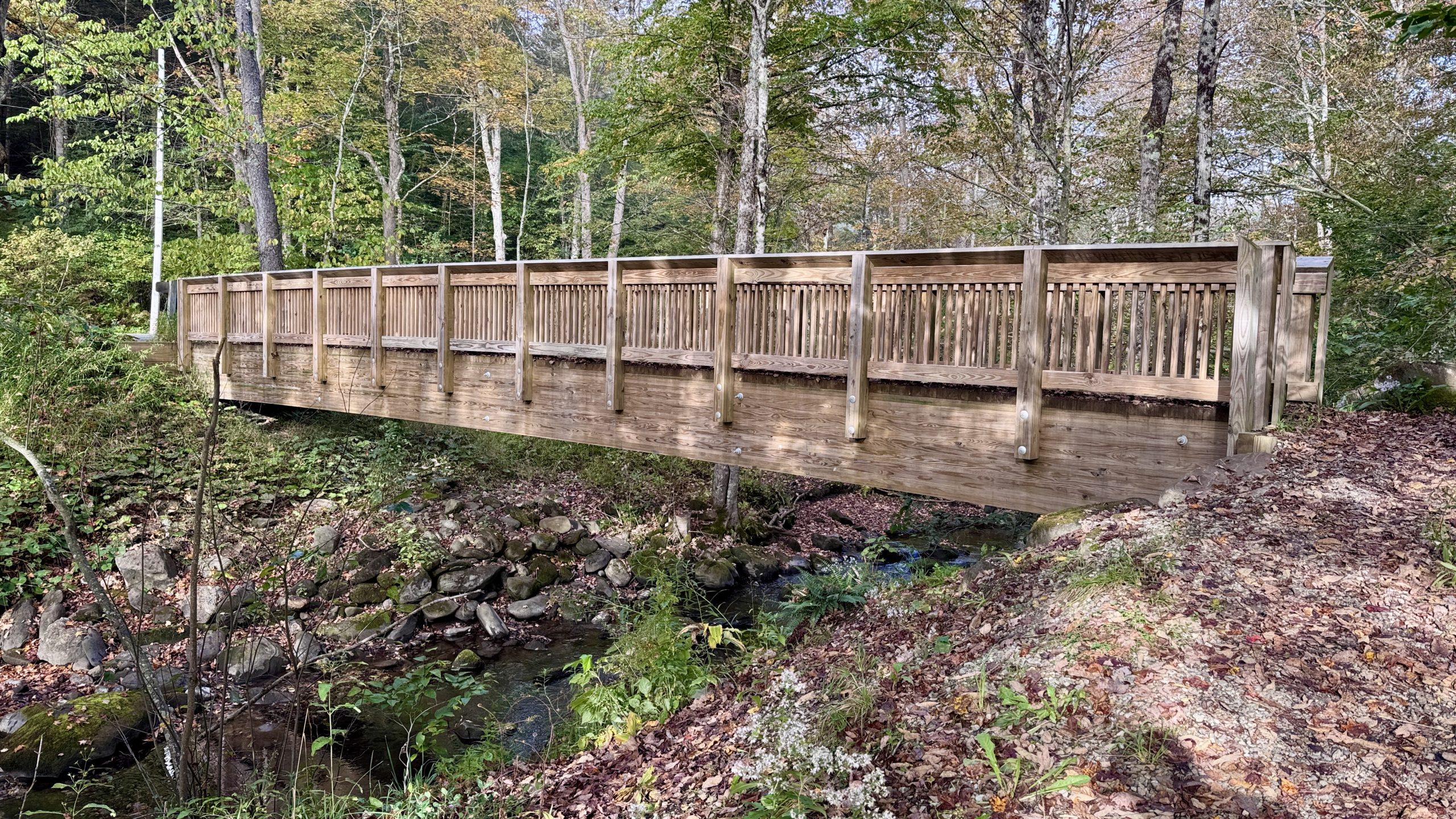
The bridge over Barnard Brook near Stage Road. Certainly not the wobbliest bridge on the AT.
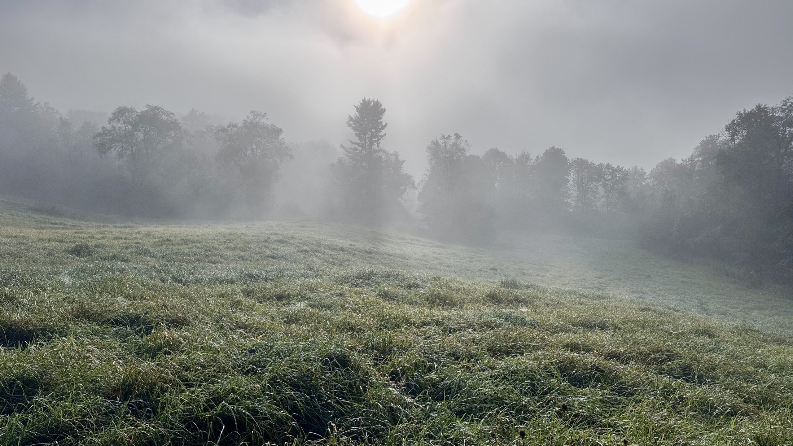
This field was quite foggy.
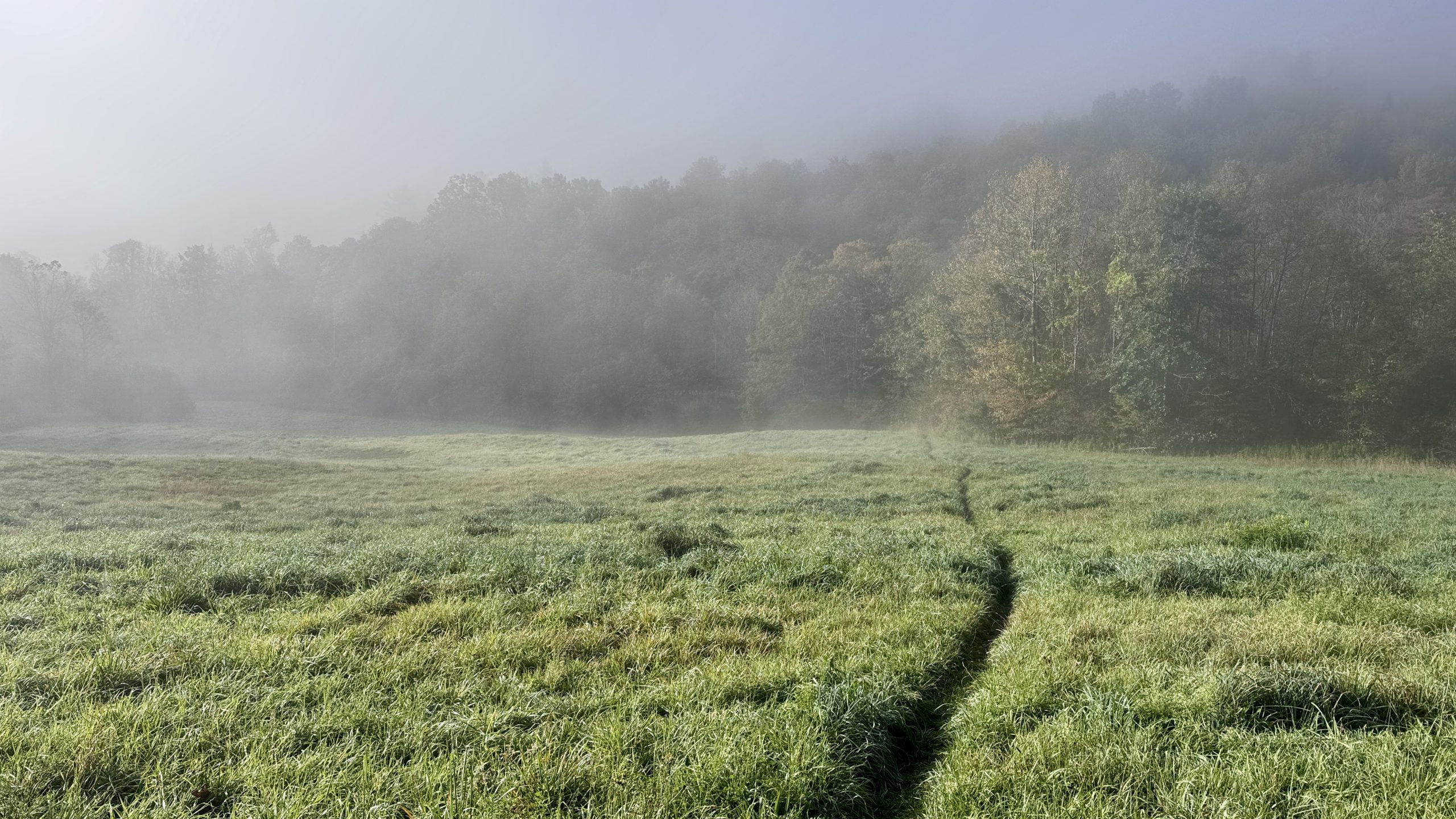
Another shot of the morning fog along the trail.
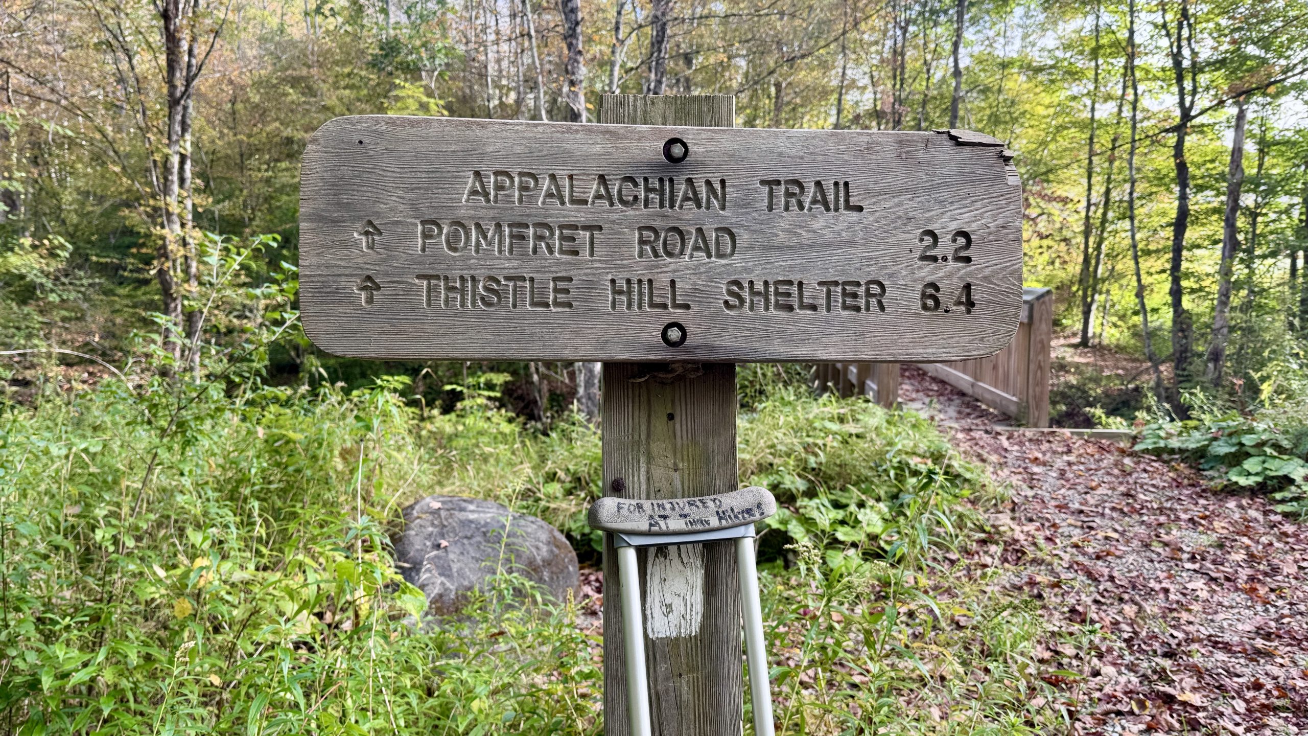
A crutch along Stage Road for “injured AT thru hikers”.
Crossing The Gulf Stream
Back at the Barnard Gulf trailhead I took a short break before grabbing my backpack and heading south down the trail. The change in starting location meant that I had already hiked 8.8 miles out and back. Half of those miles were intended for tomorrow, so I knew I’d have to figure out a place to camp roughly 4.4 miles nearer tonight. That was a problem for later. For now I just needed to start putting in some miles. The trail passed over the interestingly named “Gulf Stream” and then twisted through some wildflower fields before tucking back into the forest.
I hiked roughly 6 miles south through oak trees shedding their leaves. Otherwise there wasn’t much to see, but there was hope. A cabin called Luce’s Lookout (or ‘The Lookout’) is privately owned but generously made available to AT hikers. A FarOut commenter remarked that it was “the best view on trail so far”. The best view in 1,726 miles? Surely an exaggeration but I figured it would be well worth the short trek to get some pictures of something other than fields and a crutch.
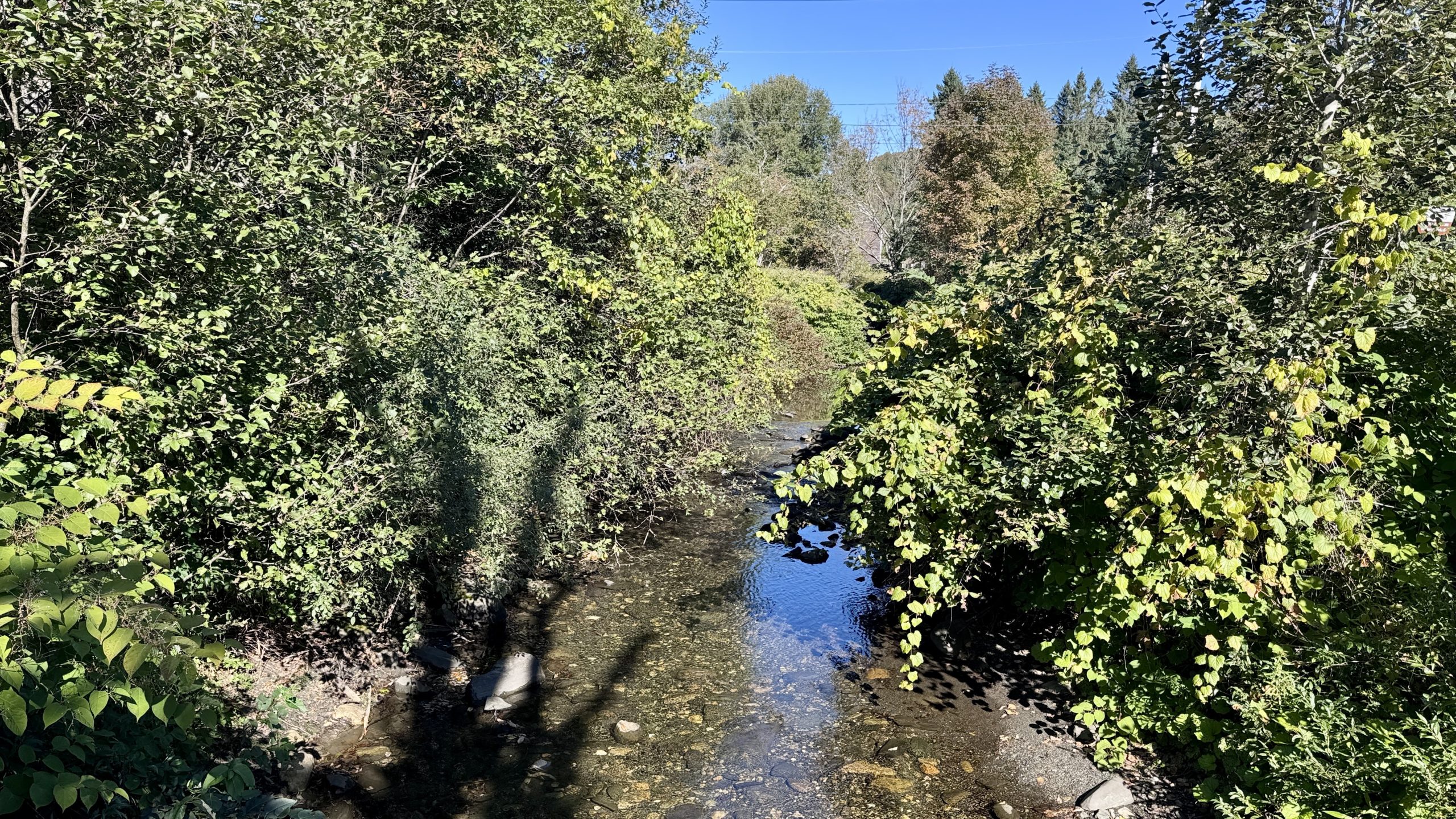
The Gulf Stream.
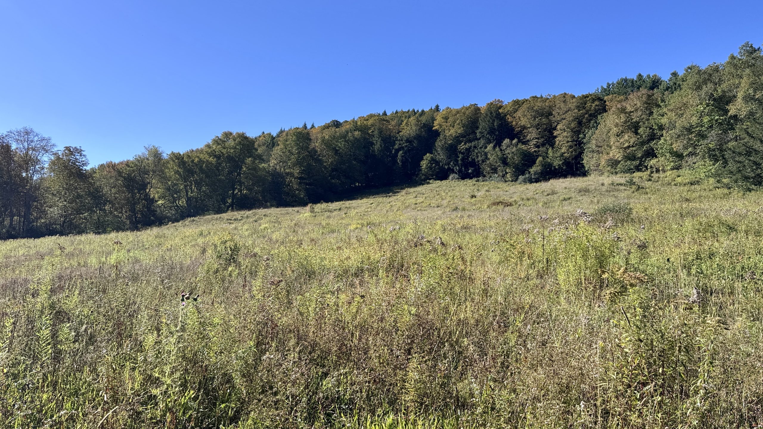
A wildflower field west of Route 12.
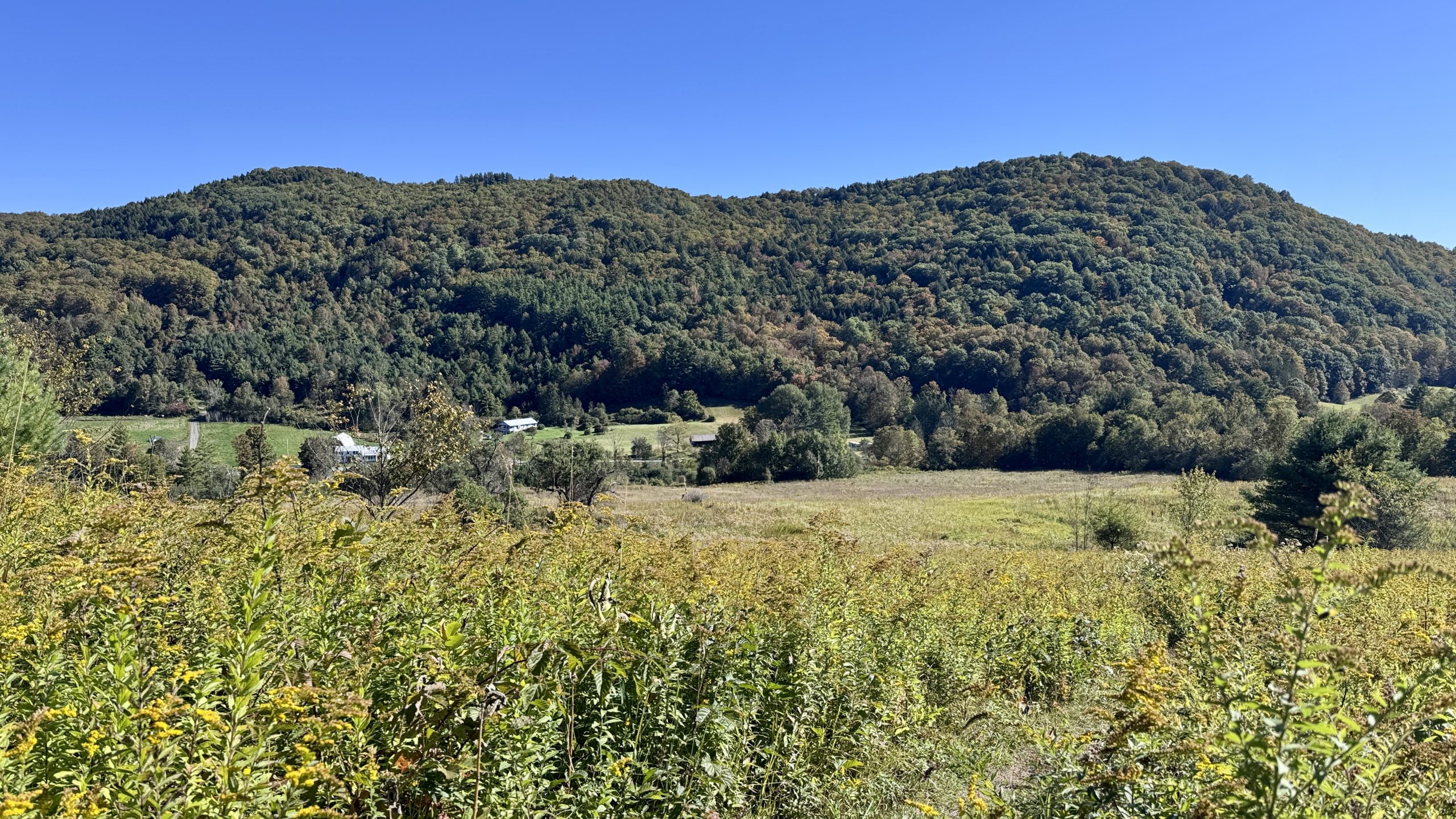
Looking down toward Route 12 from the trail.
The Last Swap
When I reached the top of the climb I was greeted by a cabin facing a wide open view. It was indeed impressive, it wouldn’t be an exaggeration to call it a million dollar view. But the cabin owners weren’t satisfied with simply placing a cabin here, they had erected a platform on the roof of the cabin accessed via a ladder. I had certainly found my break spot for the day and headed inside to put down my pack. The cabin had a covered porch, a brick fireplace, a bench, and a loft. Hikers had strung up bag hangs to prevent critters from raiding their packs during the night. I hung up my pack, grabbed my phone, and went back outside to sample the main attraction – the observation platform. The climb up the ladder was steep but I was well used to these by now both from the trail and from climbing ladders back in college while operating a house painting business. Up on the platform, complete with a built-in bench, I had a 360 degree view. Mountains blanketed the horizon and I could see Killington Peak with many ski trails streaming down its slope. I had the cabin to myself and couldn’t help but think about what it would be like to camp here. Alas, I was only planning to hike another 8 miles south. It was another 4 miles to the trailhead where I planned to turn around and then I’d need to hike 12 miles back here. It was now 12:30PM, there was no way I was going to churn out 24 more miles today, let alone before sunset which I would certainly want to catch.
But I couldn’t let the idea of camping here go. My gears started to turn and I realized that the solution was to simply do the exact same thing I did this morning – swap some miles between today and tomorrow. Like I always say, why accomplish today what you can put off until tomorrow! Since I was already planning to turn around at a trailhead further south, I could also access the trail from there. If I hiked about 5 more miles south and turned around I would be back at the cabin in plenty of time for sunset. I’d then hike back to my car on Route 12 and drive to the next trailhead and do a second hike out and back. In total I would have accomplished everything I had planned for this two day backpacking stint. I grinned widely as I set a new course for the hundredth time today.
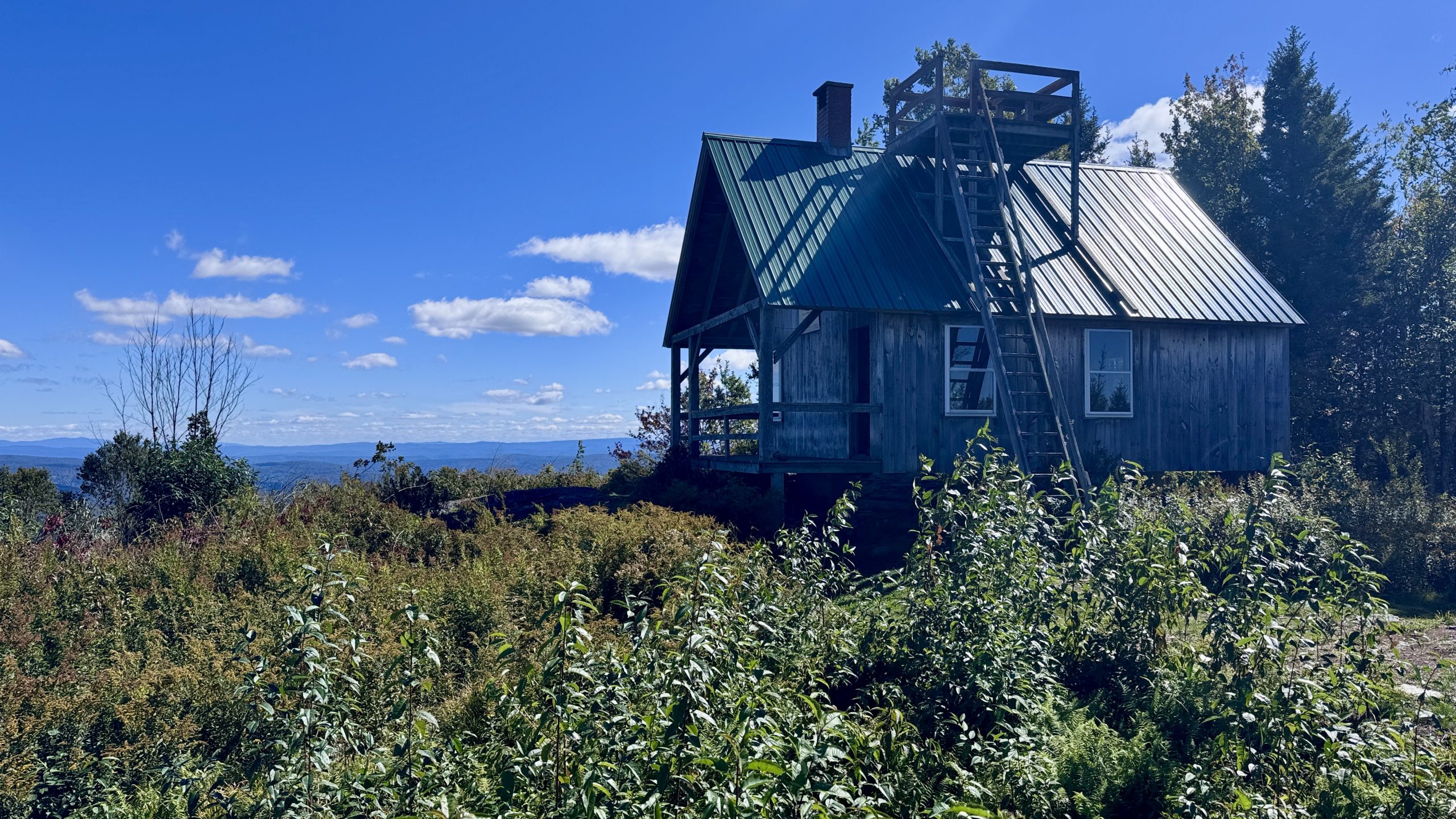
Luce’s Lookout cabin.
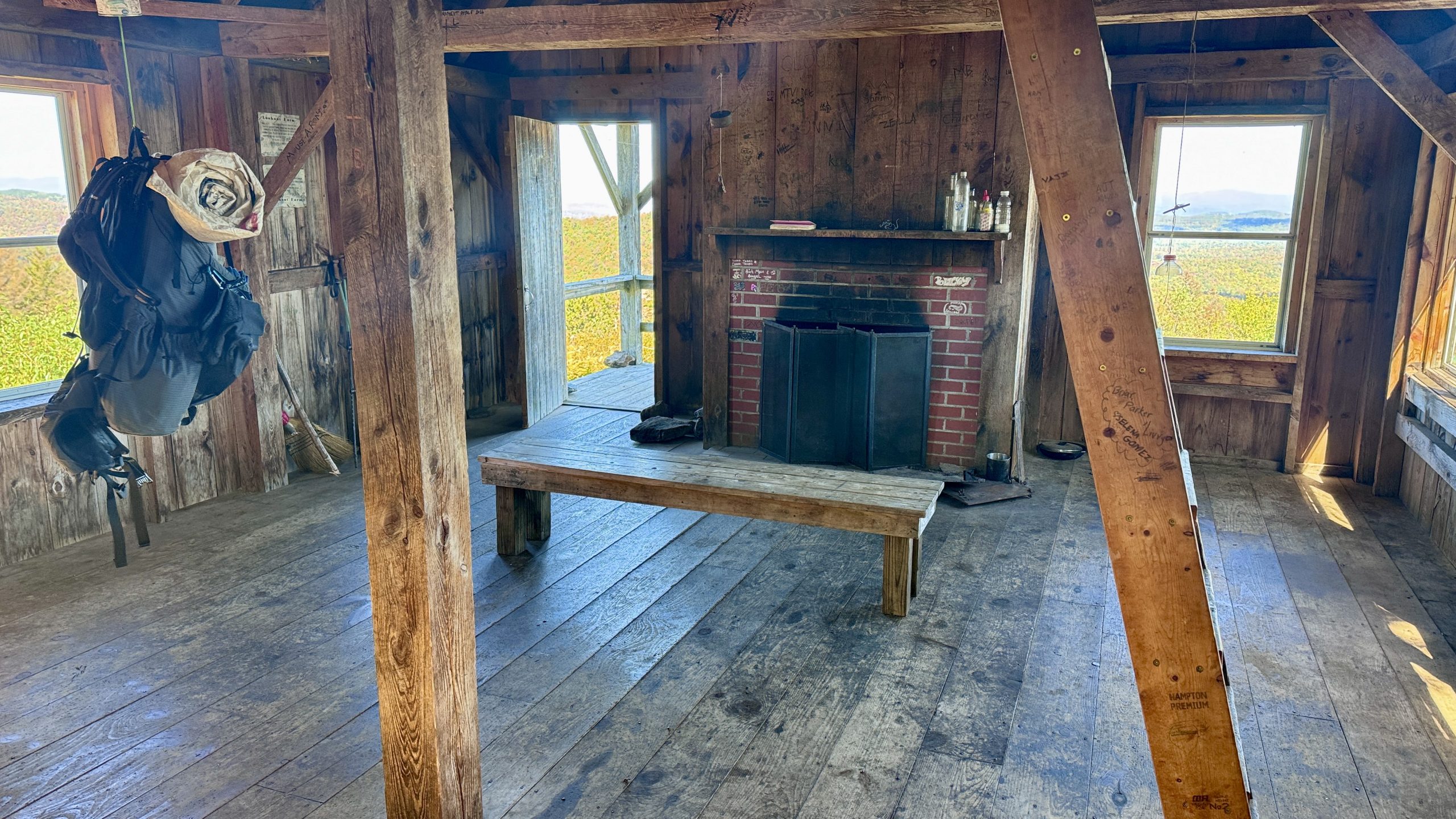
Inside Luce’s Lookout cabin.
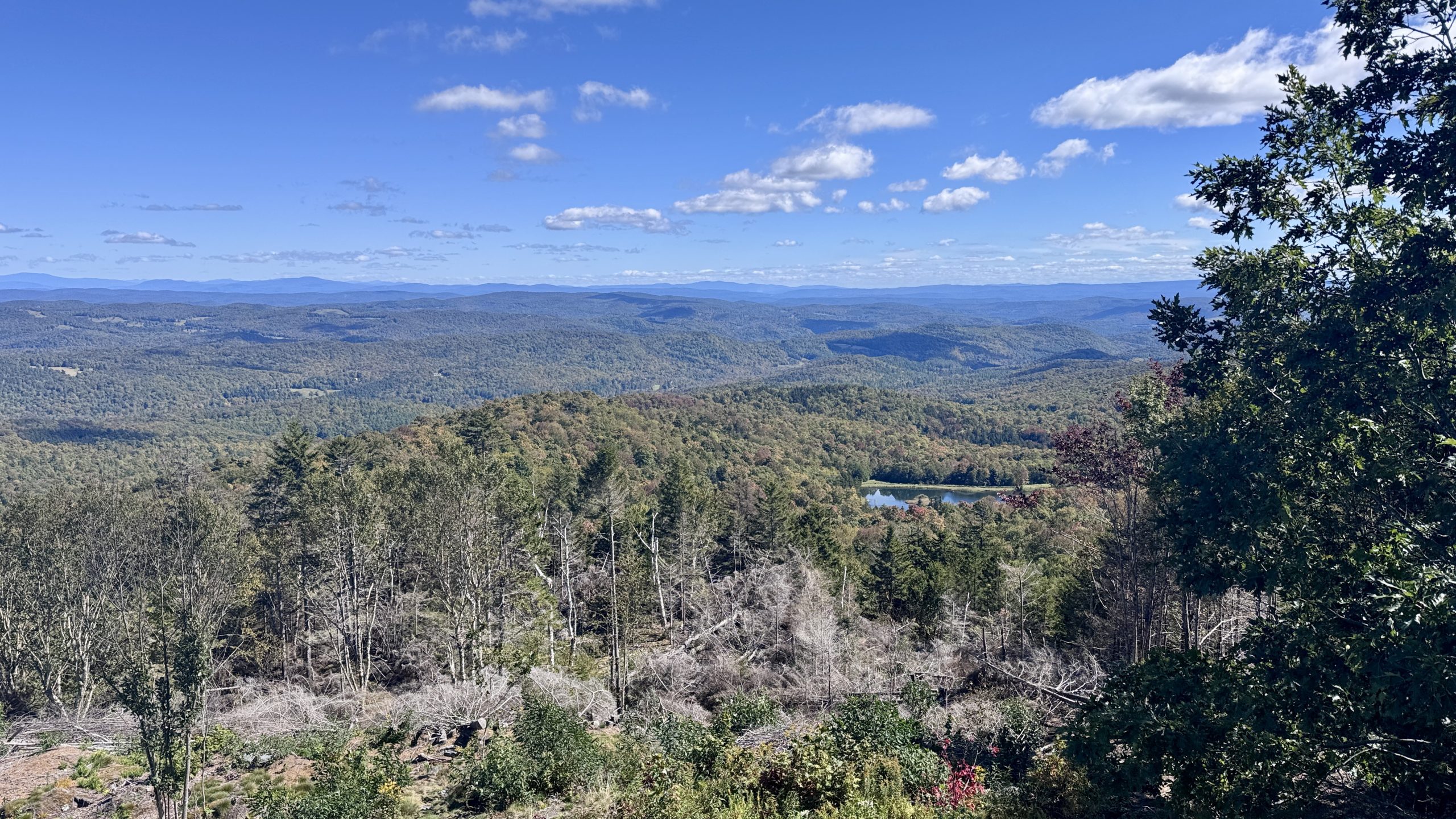
View from Luce’s Lookout.
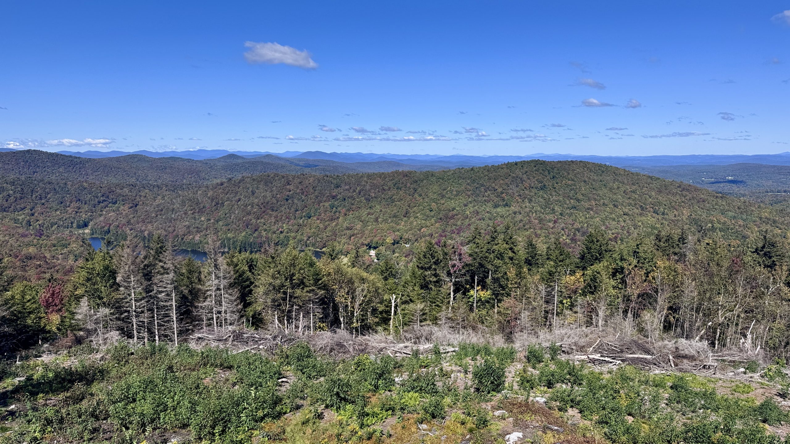
View from Luce’s Lookout.
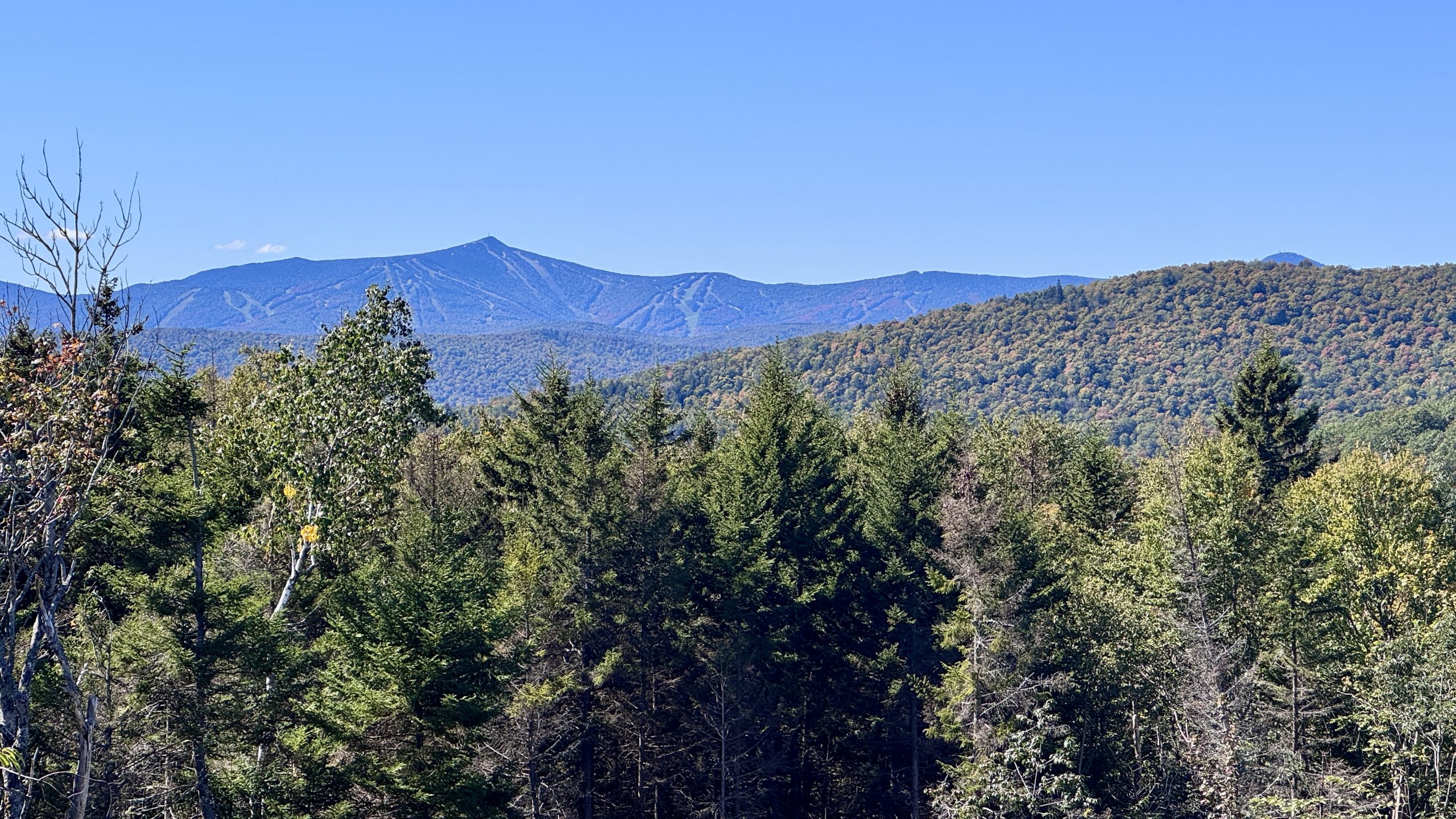
View of Killington Peak from Luce’s Lookout.
Luce’s Lookout
My 5 mile out and back hike took me past Chateauguay Road and the adjacent Locust Creek. I admired the red oak leaves accumulating on the water and sprinkled around the rocks around the creek. I monitored my progress toward mile marker 1,720.8, a spot I chose to leave myself a reasonable amount of miles to hike tomorrow factoring in some driving time between trailheads. There I turned around and collected water water from the nearest stream to Luce’s Lookout. I was happy to carry 2 liters of water a mile and a half to be able to spend the night with a spectacular view.
Back at the cabin I set myself up for a relaxing evening. I climbed up to the observation platform for sunset and set my sleeping area up on the loft. The idea of waking up for sunrise crossed my mind, I would have a perfect angle from the cabin. Similar to how the time of sunset seems to have taken a giant leap earlier into the day, sunrise was later than I expected, and, unlike the sunrise back in May on McAfee Knob, I didn’t need to get up at 5:00AM. The sunrise wasn’t scheduled until 6:40 AM. Heck, I’d probably be awake by then anyway.
I’d be remiss if I didn’t say that I appreciate the owners making the cabin available to hikers like me so that we can enjoy the view and amenities. It is a an exceedingly rare thing to see these days
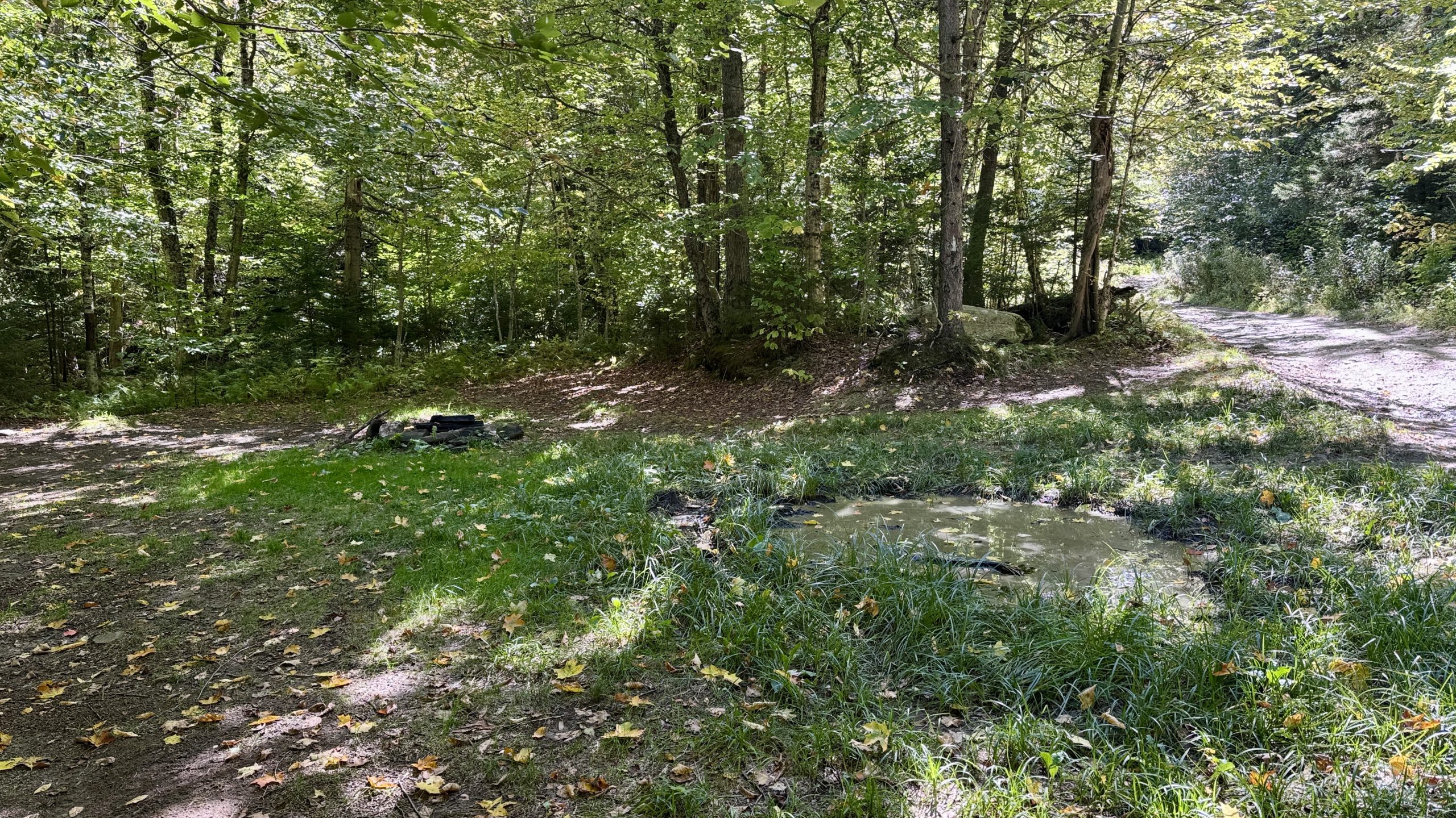
A tidy camping spot next to Chateauguay Road.
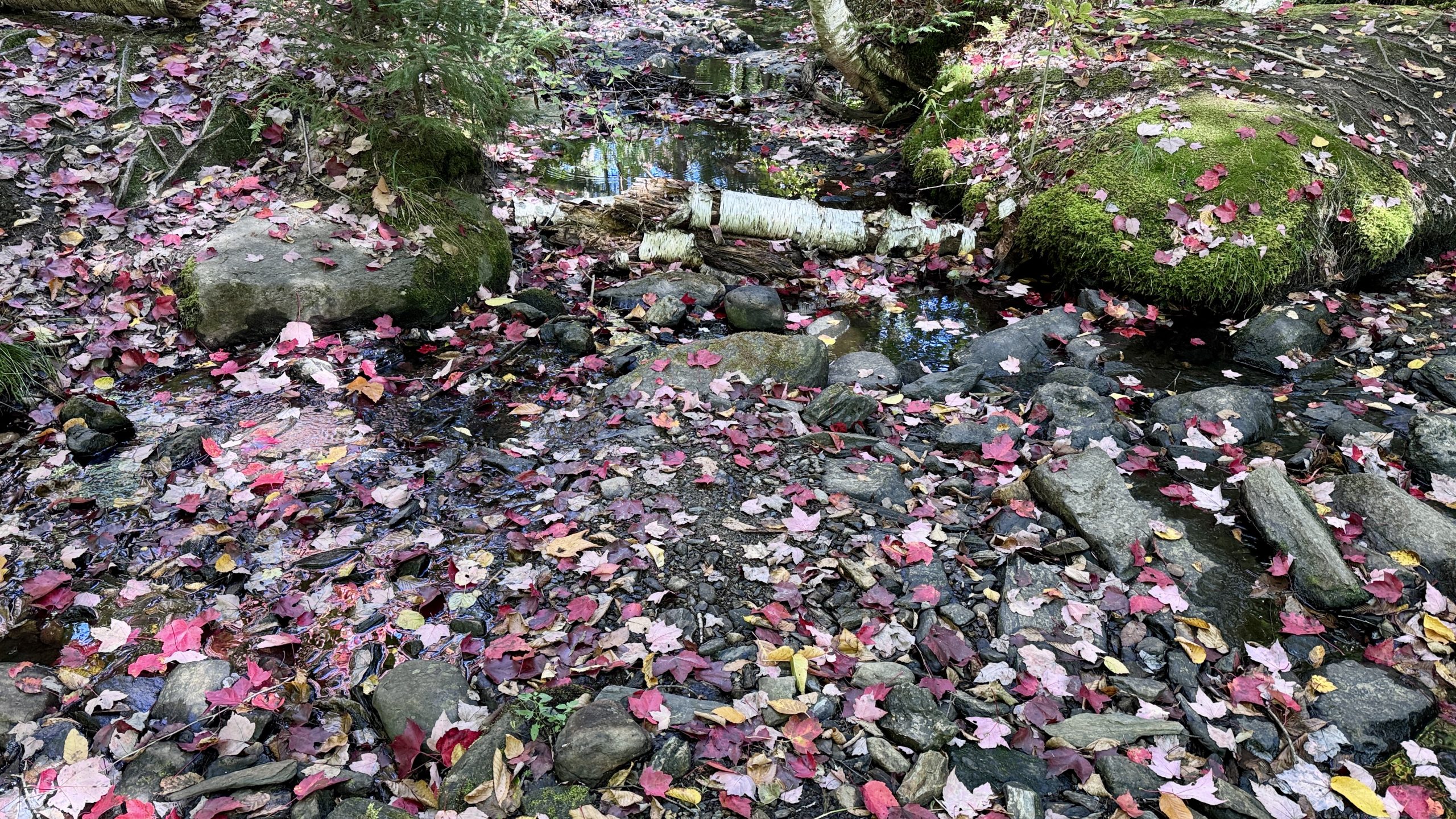
It looks like autumn is in full swing at Locust Creek.
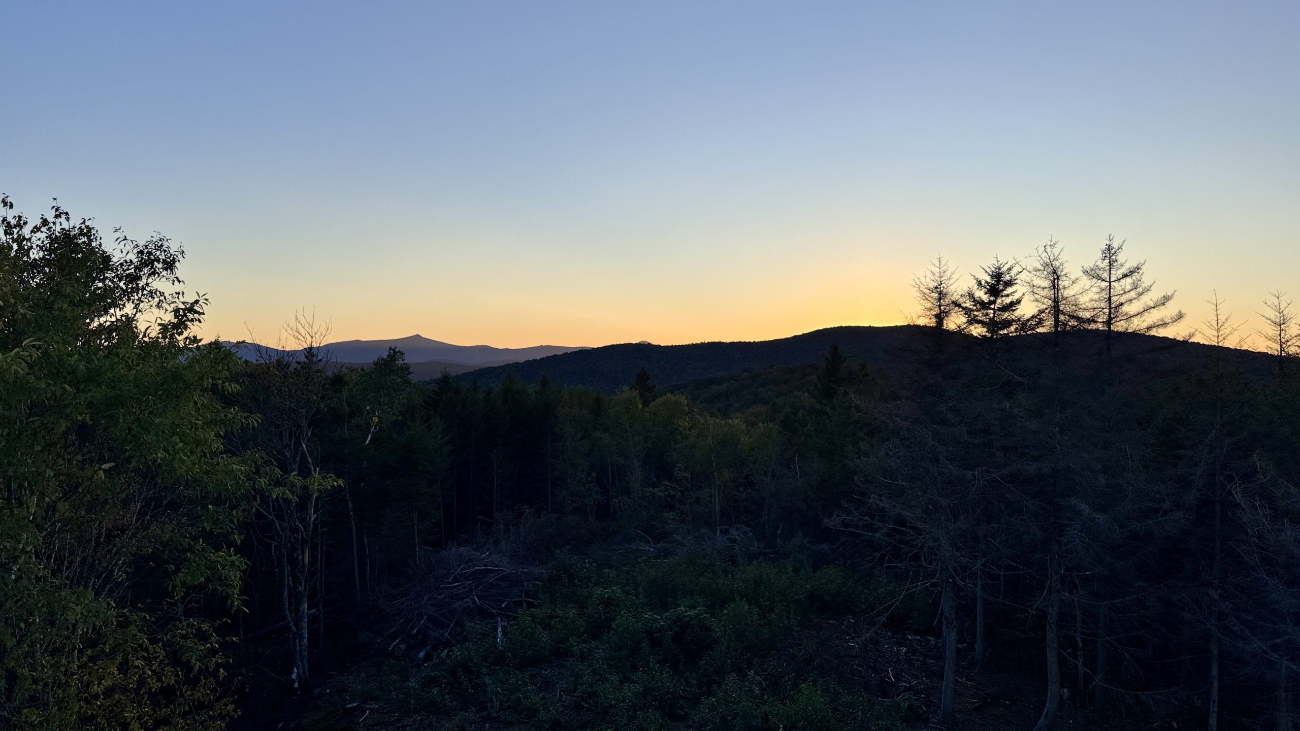
Sunset at Luce’s Lookout. (OK I might have slightly missed the sunset…oops)
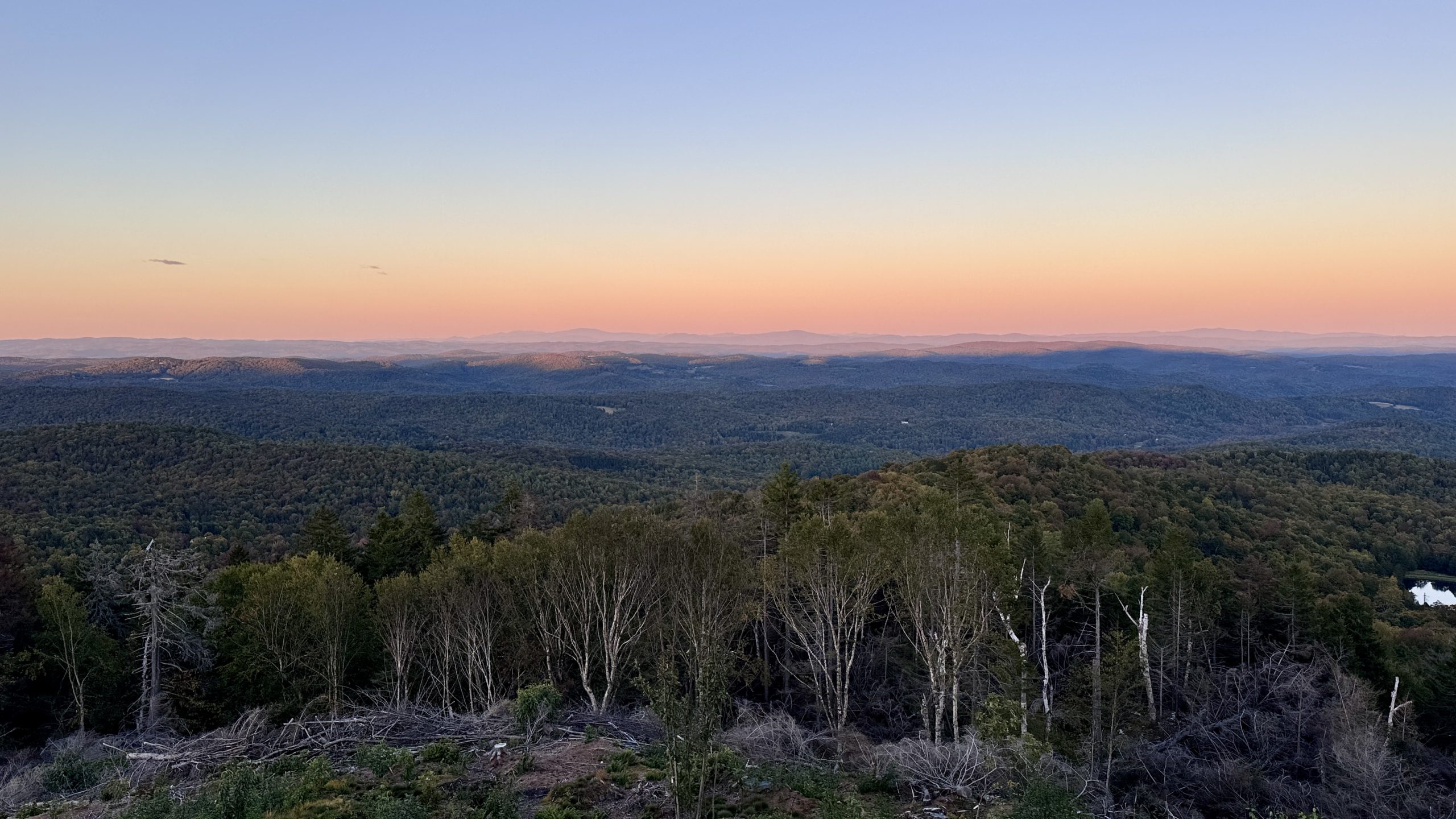
It was still a beautiful, colorful view from the cabin though.
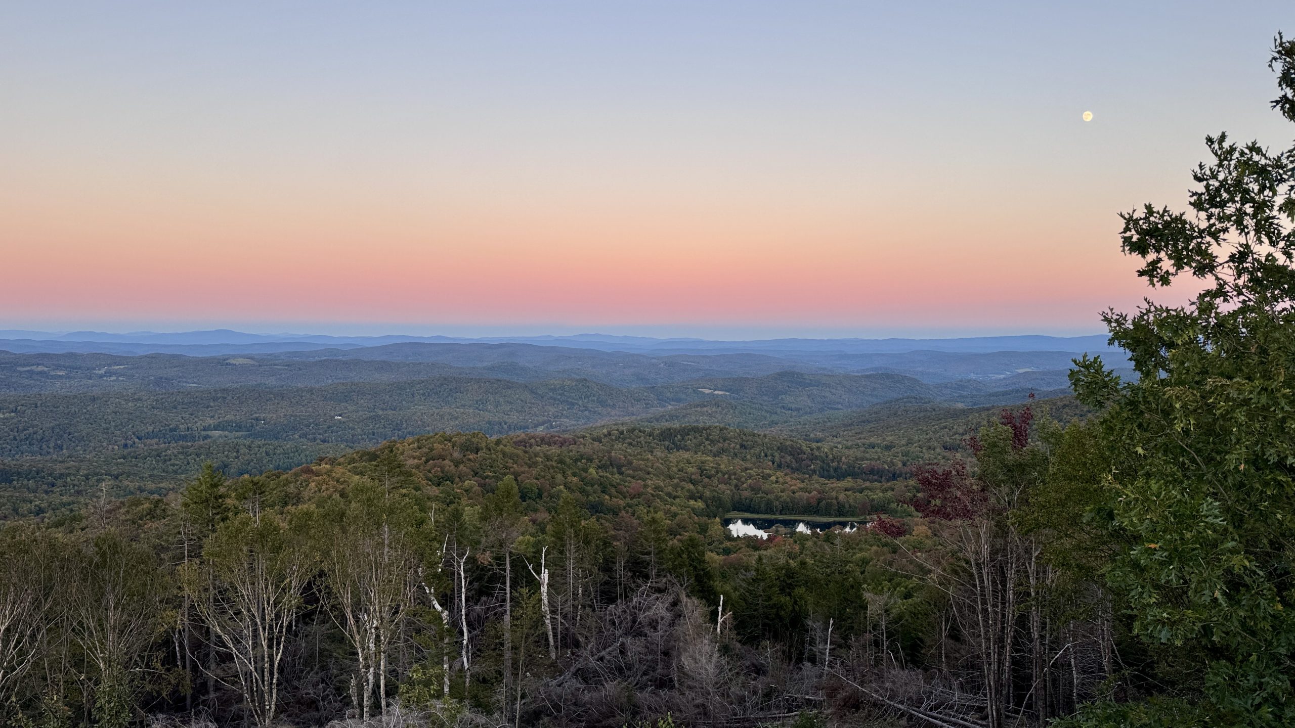
The moon supervises the sunset at Luce’s Lookout.
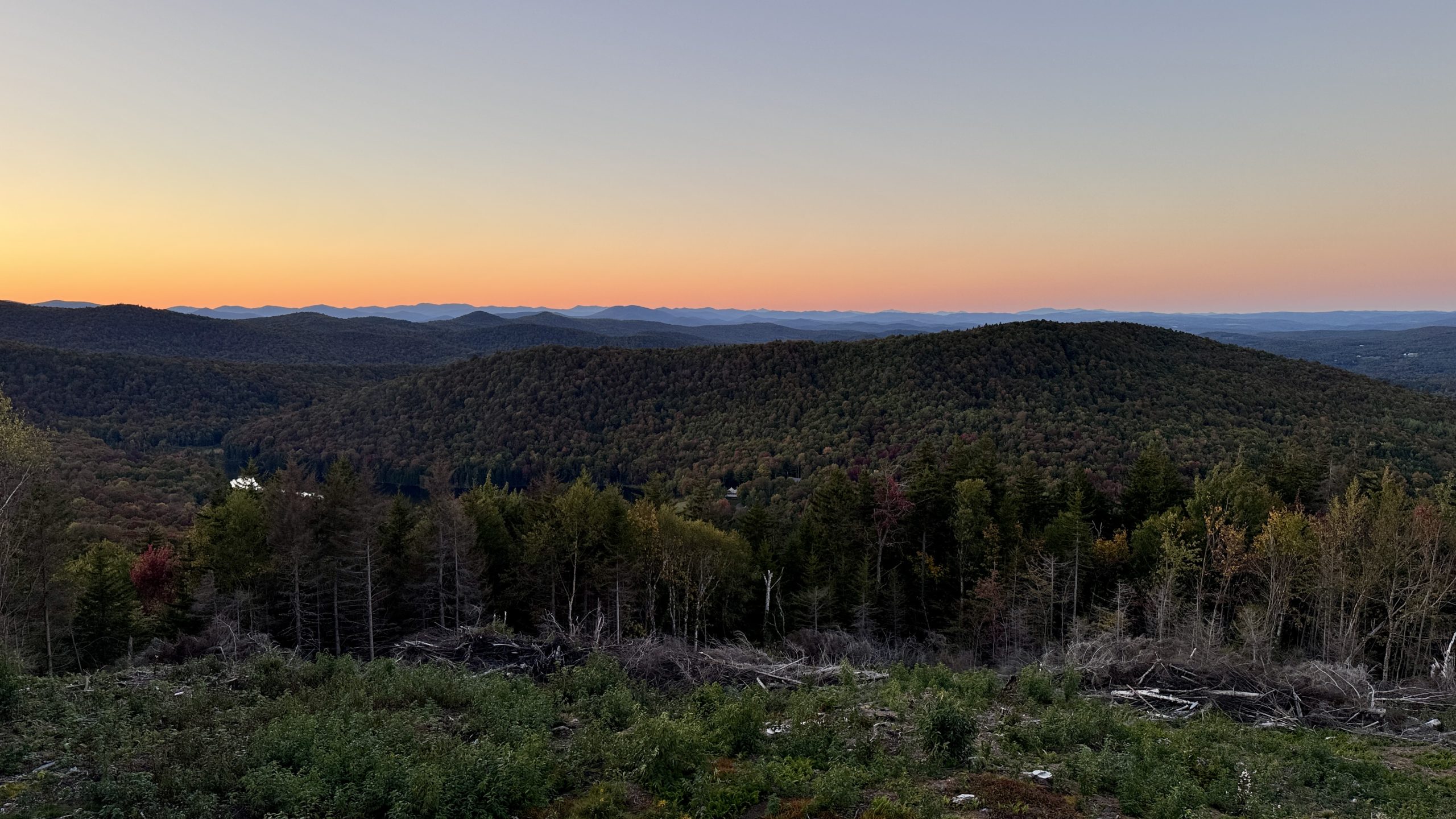
Just after sunset at Luce’s Lookout.
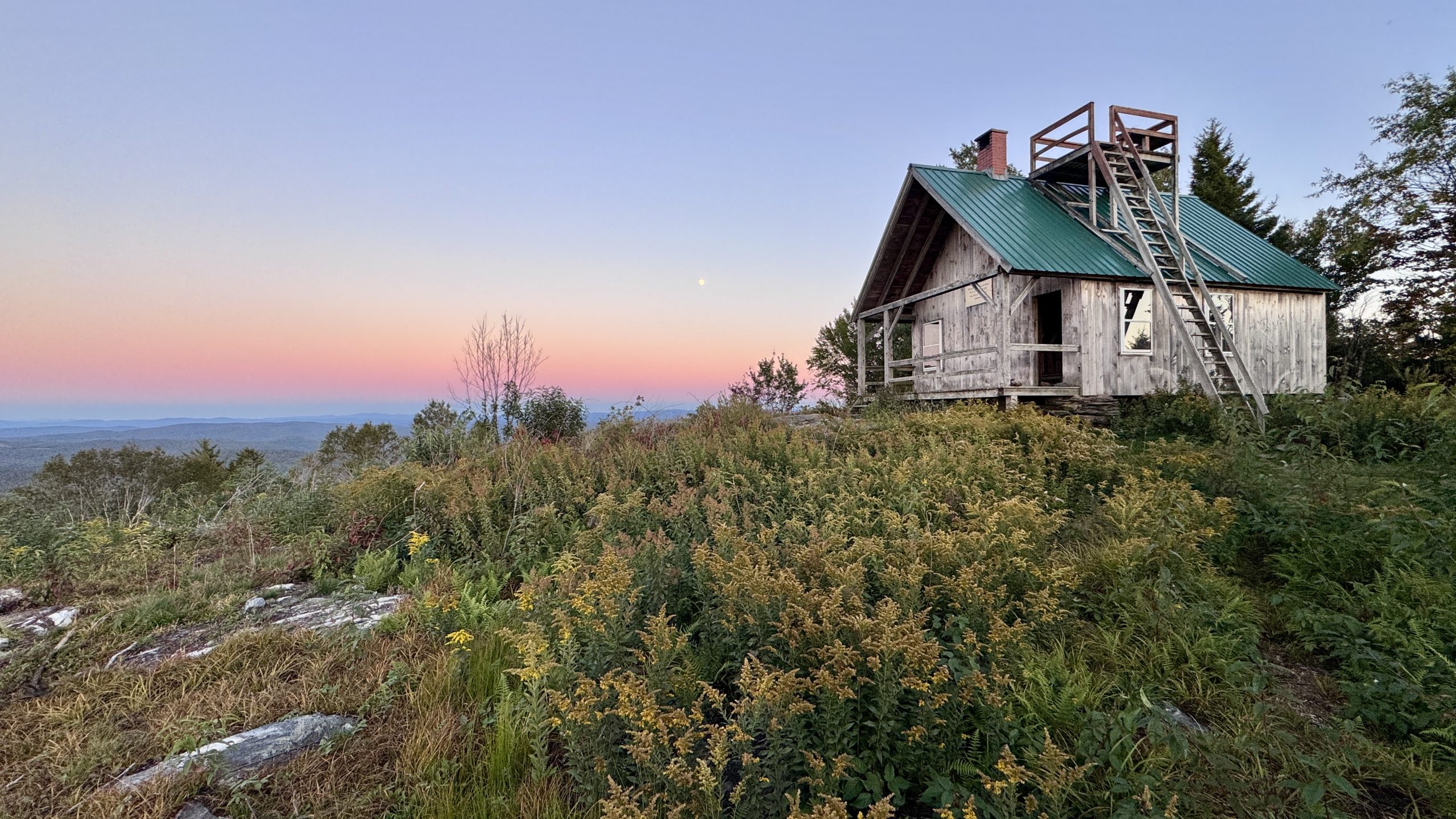
The cabin at Luce’s Lookout.
-See You Tomorrow
| Leg | Start | Mile | End | Mile | Ascent | Descent | Direction |
|---|---|---|---|---|---|---|---|
| 1 | VT Route 12 | 1,732.1 | Pomfret Road | 1,760.0 | 1,424 | 1,367 | NOBO |
| 2 | Pomfret Road | 1,785.7 | VT Route 12 | 1,732.1 | 1,367 | 1,424 | SOBO |
| 3 | VT Route 12 | 1,732.1 | MM 1,720.8 | 1,720.8 | 3,480 | 2,172 | SOBO |
| 4 | MM 1,720.8 | 1,720.8 | The Lookout | 1,726.0 | 1,453 | 1,236 | NOBO |
Total: 25.3 miles, 53,242 steps
- Type of hiking: Mixed
- Camp: Structure, Luce’s Lookout

This website contains affiliate links, which means The Trek may receive a percentage of any product or service you purchase using the links in the articles or advertisements. The buyer pays the same price as they would otherwise, and your purchase helps to support The Trek's ongoing goal to serve you quality backpacking advice and information. Thanks for your support!
To learn more, please visit the About This Site page.