 ">
">
Rain, Pain, and Maine, the Final State!
I’m writing this from the Pine Ellis Hostel in Andover ME. Yes, that’s right, I’m in Maine. The miles, days, and states have flown by since I last posted. That is until the last few days when the beautiful weather turned to continuous rain. They say “No rain, no pain, no Maine,” meaning a hiker has to endure rain and pain to get to Maine. What I didn’t know was that Maine would be all rain and pain. So on day five of the monsoon I’m taking a zero, letting my feet heal, and psyching myself up for a big, wet push northbound.
New England
Backing up a bit, New England has been an incredible experience. The weather, trail, scenery, people, and my newfound peace of mind all came together between Massachusetts and Maine.

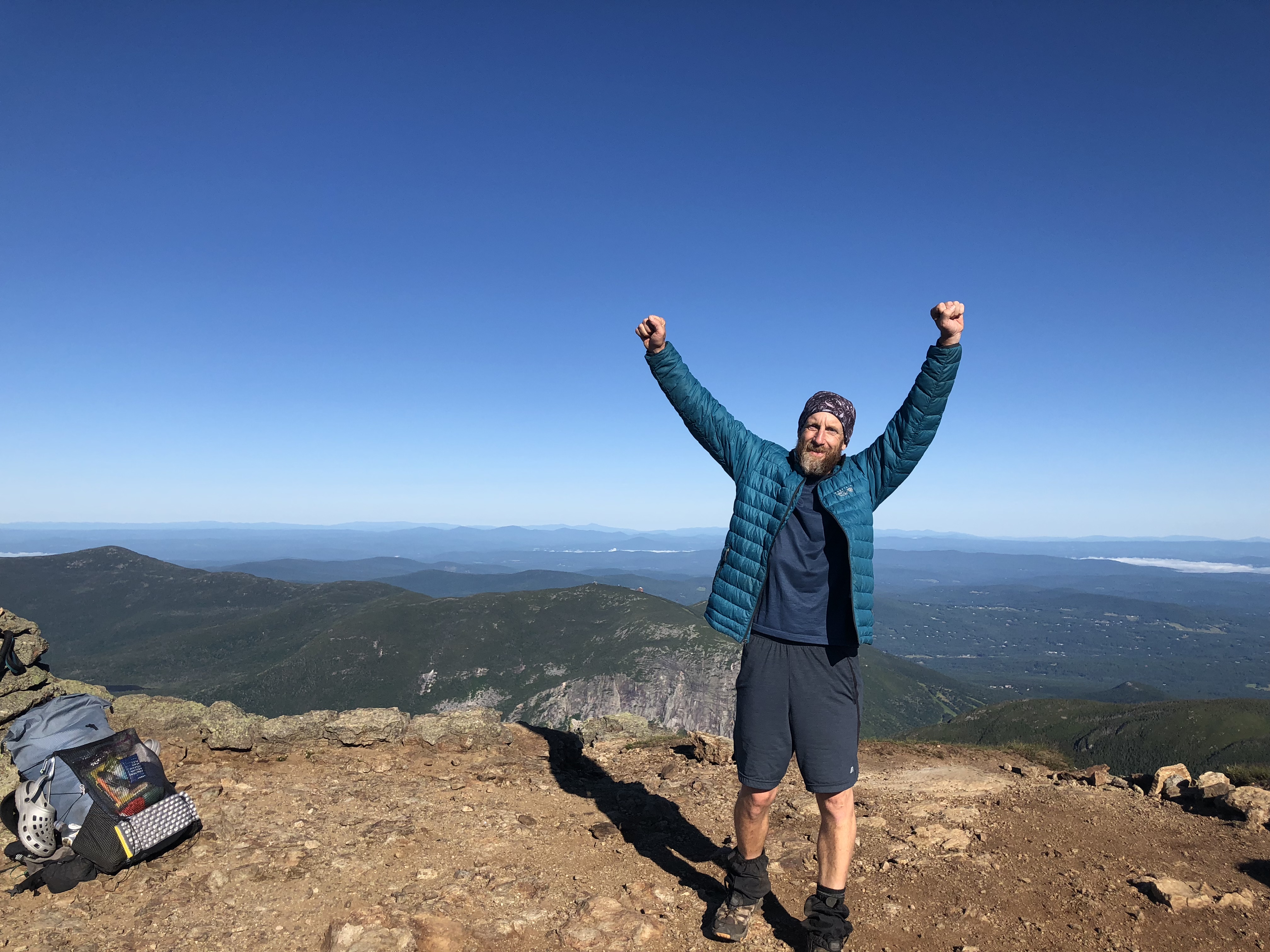
Franconia Ridge, NH.
Making Miles
I’m currently at AT mile 1,934, with 256.9 miles between me and the summit of Katahdin. Fully “in the zone,” I covered the 364 miles from Dalton in 21 days for an average of just over 17 miles per day.
Overall, this was a solo hike for me. I stayed with Irish Paul and his son Luke for a few days in Pennsylvania but he altered his hiking plans to make sure Luke enjoyed his AT experience to the fullest. So from Wind Gap PA, I was on my own.
Being solo has its advantages. With only myself to please I could hike as early or as late as I wanted and the hammock made stealth camping easy. Twenty-mile days were easy until reaching New Hampshire.
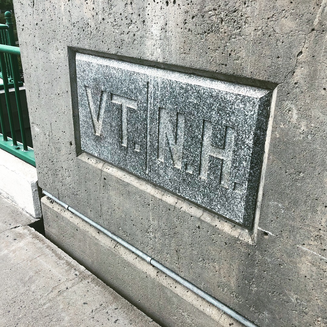
Vermont
While hiking Massachusetts, I experienced historic heat. Coincidence or not when I reached Vermont the heat broke and I found a well-graded trail through beautiful mountains, conifer forests, and lakes. The climbs were longer but the rewards were fire towers and vistas with hundred-mile views.

A typical Vermont beaver pond.

The Lookout.
The weather was perfect and the famous Vermont mud was insignificant. Although I was alone I met new hikers every day, including for the first time a steady stream of SOBOs.
There is an interesting rivalry between NOBOs and SOBOs. The NOBOs are reaching the final portion of their hike and feel pretty good about the 1,700 to 1,800 miles they have completed. The SOBOs are just getting started but they have completed the toughest portion of the AT, the Whites and Southern Maine. For the most part it’s harmless but it did become tiresome to hear. Sure, I knew the Whites and Maine were up next for me and that they would be hard, but also fun. After all that’s what I hiked all those miles for.
On my last day in Vermont I was picked up by the parents of my old neighbors in Pensacola, FL. They brought me to one of their other children’s home and I was treated to a wonderful family meal and stay. Even better, they introduced me to the fluffernutter. More unexpected and amazing trail magic.
New Hampshire
New Hampshire was more difficult. The trails were rockier and steeper, and the climbs and descents were longer. Fortunately, the weather remained perfect except for one stormy day that had no impact because I zeroed with a friend from my Air Force days. Thanks, Bernie, for picking me up and showing me your home state.
The Whites required a change in mind-set, as the new daily goal would be 15 miles, not 20. The difficulty increased but so did the rewards. The mountains and views were spectacular.

Mount Moosilauke.
Mount Washington, the highest White, has infamously unpredictable weather. I prayed for continued good weather as I approached. Lake of the Clouds hut is just south of the summit and my plan was to spend the night there and get over Mount Washington the next morning. Fortunately, the plan worked with the added bonus that at the hut I caught up to Seven, Double-Tap, Kenya, and Gravity. It was a happy reunion and we’ve been hiking together since. After all those solo miles I’m thrilled to be with a tramily again.
I’m happy about something.

Lake of the Clouds Hut.

Moonrise.

Sunset.
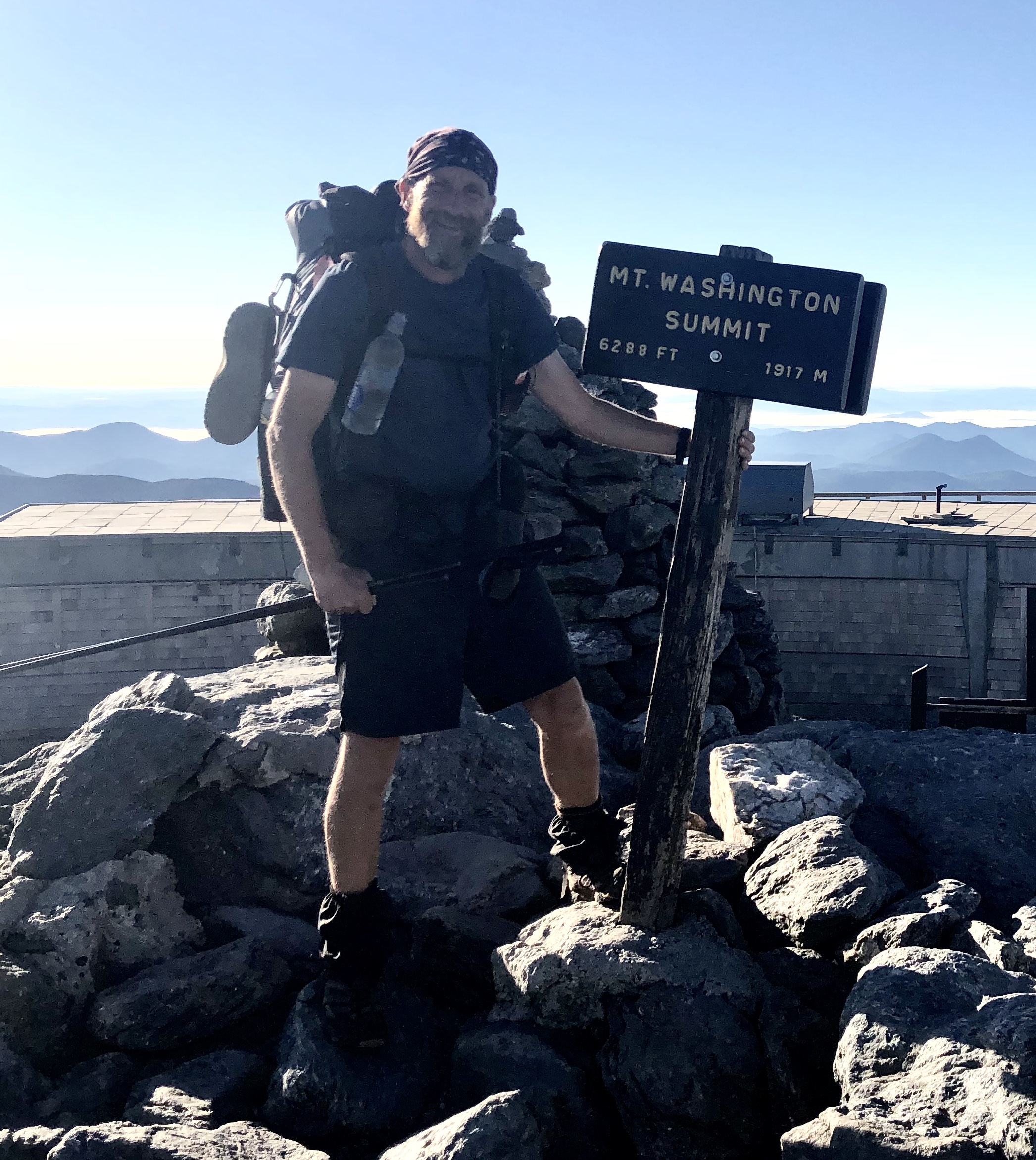
Summit of Mount Washington.
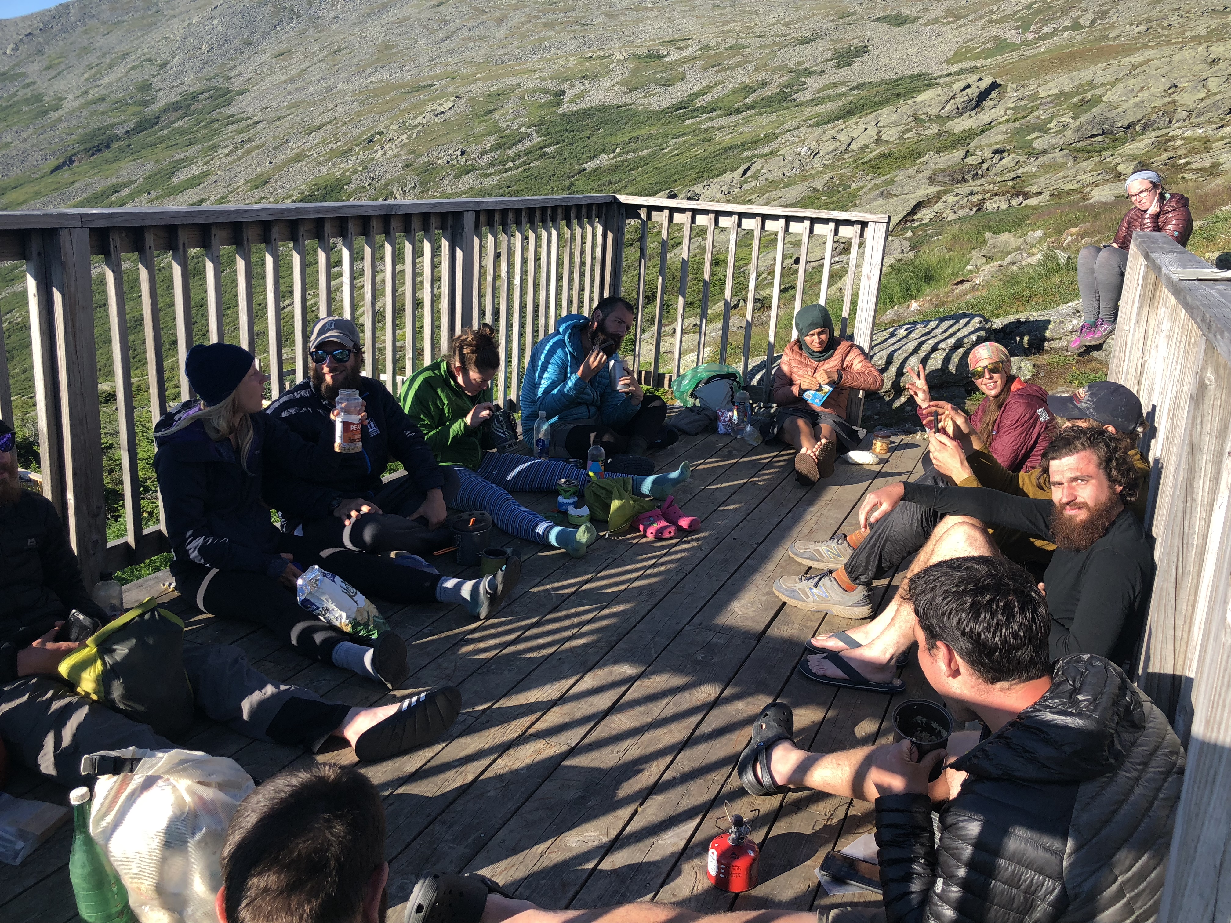
Hiker trash reunion.
On to Maine
Happy to be in a group now we proceeded north. Noting bad weather in the forecast we hiked 20+ miles from Lake of the Clouds, over Mount Washington and the remaining Presidentials, through Pinkham Notch, and over the Wildcats before bad weather hit. In the end we made it off the ridges but the five-day, and counting, monsoon began. Since then Maine has been all rain all the time. So we are zeroing in Andover to dry out. We will hit the trail tomorrow rain or shine. Spoiler alert: the forecast says 90 percent chance of rain.

Maine!

This is the best weather since crossing the Maine border.

Climbing the East Peak of Bald Pate.

This website contains affiliate links, which means The Trek may receive a percentage of any product or service you purchase using the links in the articles or advertisements. The buyer pays the same price as they would otherwise, and your purchase helps to support The Trek's ongoing goal to serve you quality backpacking advice and information. Thanks for your support!
To learn more, please visit the About This Site page.

Comments 2
Hey Pete, keep up the good work. Your story is very inspiring to me. I hope to hike the AT in 2019…. i plan on donating a portion of my liver to a friend in October who has beat liver cancer and after healing up, will train for my trip in 4/19. Many thanks for your story.
Thank you. Donating a portion of your liver is an amazing and selfless act. Best of luck on your thru hike and preparations