
 ">

Make Lemonade
October 26th, 2026
I manage to hike half a mile off the AT. I hike through the Lemon Squeezer.
Bellvale Farm Creamery
While it would be pretty on brand of me to begin a hiking day at a creamery, that wasn’t the reason I pulled into the Bellvale Farm Creamery before 8:00AM today. The creamery was just a minute drive from the trailhead on Route 17A where I planned to begin my hike. It had water available for hikers and a beautiful view from its spot atop Peter Mountain.
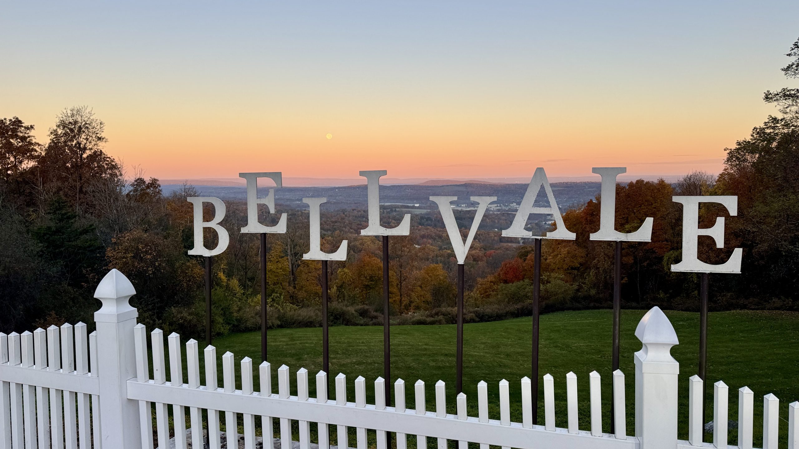
View from the Bellvale Farm Creamery.
Another Pair Of Shoes Hits 1k Miles
I have been mixing up my shoes ever since I put 1,000 miles on my original pair of Topo Ultraventure shoes. I bought a pair of Altras to replace them, accumulating about 800 miles before taking my summer break in July. I then bought two more pairs of Altras when I flipped up to Maine. Since those shoes were supposed to be more comfortable, I started using them. I put 500 miles on the first pair and switched to the fresh pair when I began the White Mountains. I have stuck with that pair since then, and they just reached 1,000 miles. Interestingly, I began using them within a mile or two of the 1,900 mile marker, so naturally they reached the 1,000 mile mark when I reached the 1,400 mile marker. The shoes appear to be in decent shape, they remain comfortable enough for long hikes. I plan to get the other two pairs of Altra shoes to 1,000 miles and then hike in them until they disintegrate. It looks like I won’t have to spend money on new trail running shoes to start my hiking on the West Coast next year, hurray!
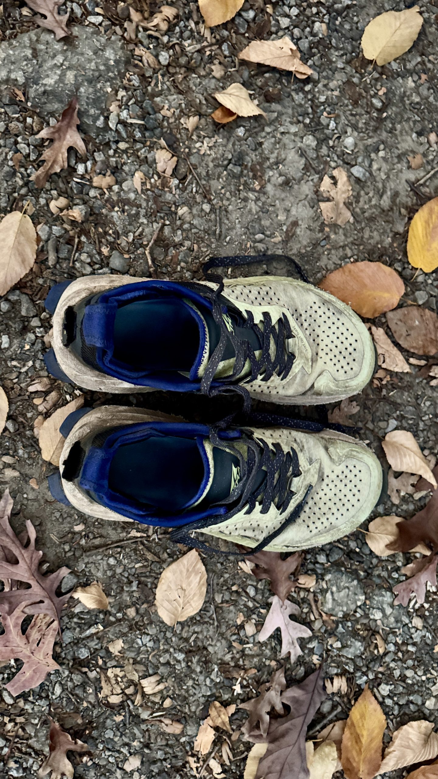
1,000 miles on my Altra Olympus 6. They look ready for another 1,000!
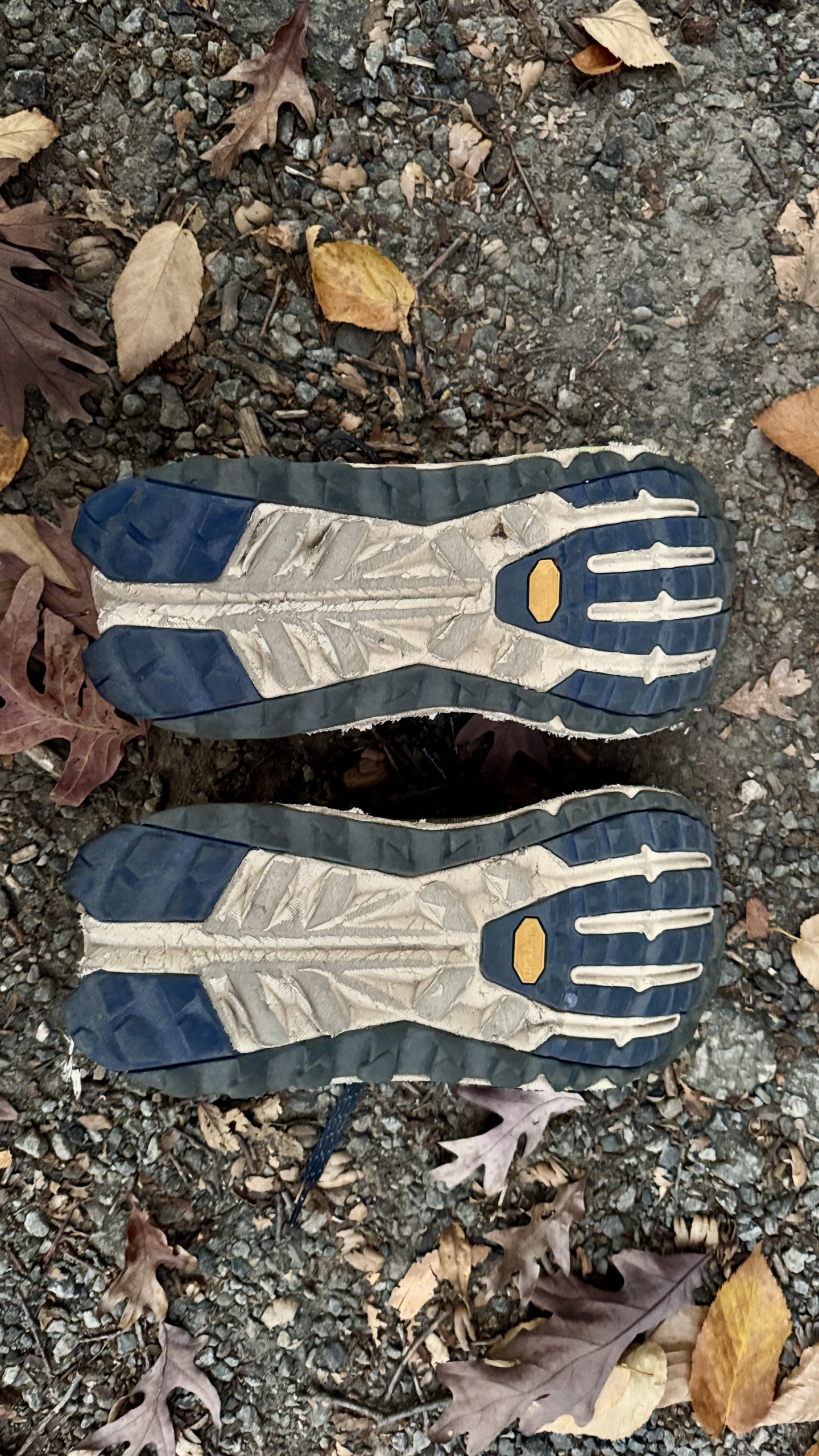
Still plenty of tread, though I still feel the grip is lacking on these shoes.
Fitzgerald Falls
After breakfast and some cold brew coffee I hit the trail heading northbound from Route 17A near the town of Greenwood Lake. After a short climb the trail followed a ridge for a few miles, passing over several rocky outcrops which provided decent views of the area. The trail left the ridge, crossed Route 5, and reached Fitzgerald Falls. A small waterfall hinted at what was to come – a 25 foot cascade running down a rocky hillside. The AT climbs up some rock steps adjacent to the falls. I haven’t seen many waterfalls lately, so it was nice to come across on in the middle of a forest in New York.
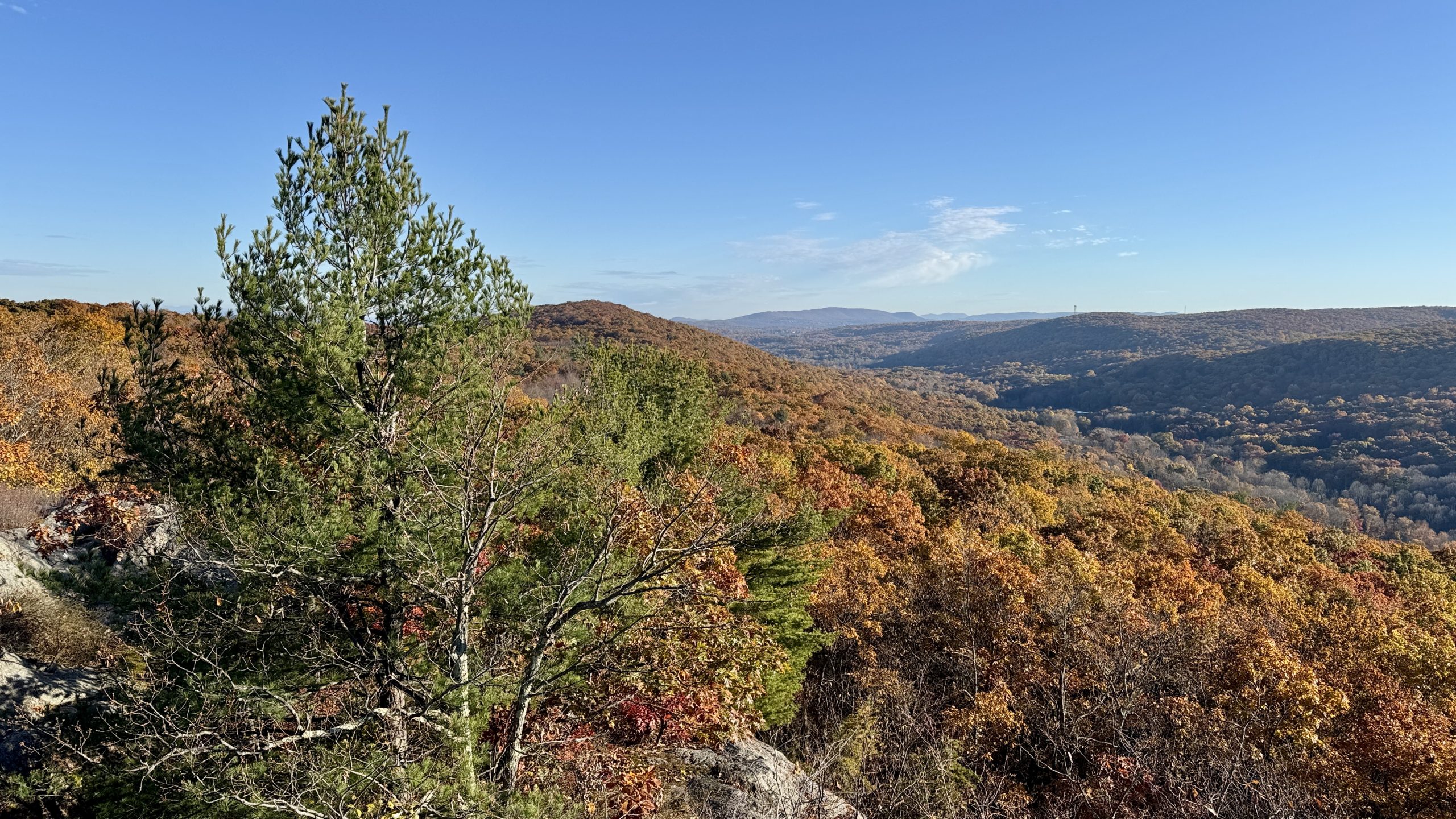
Early view from the trail.
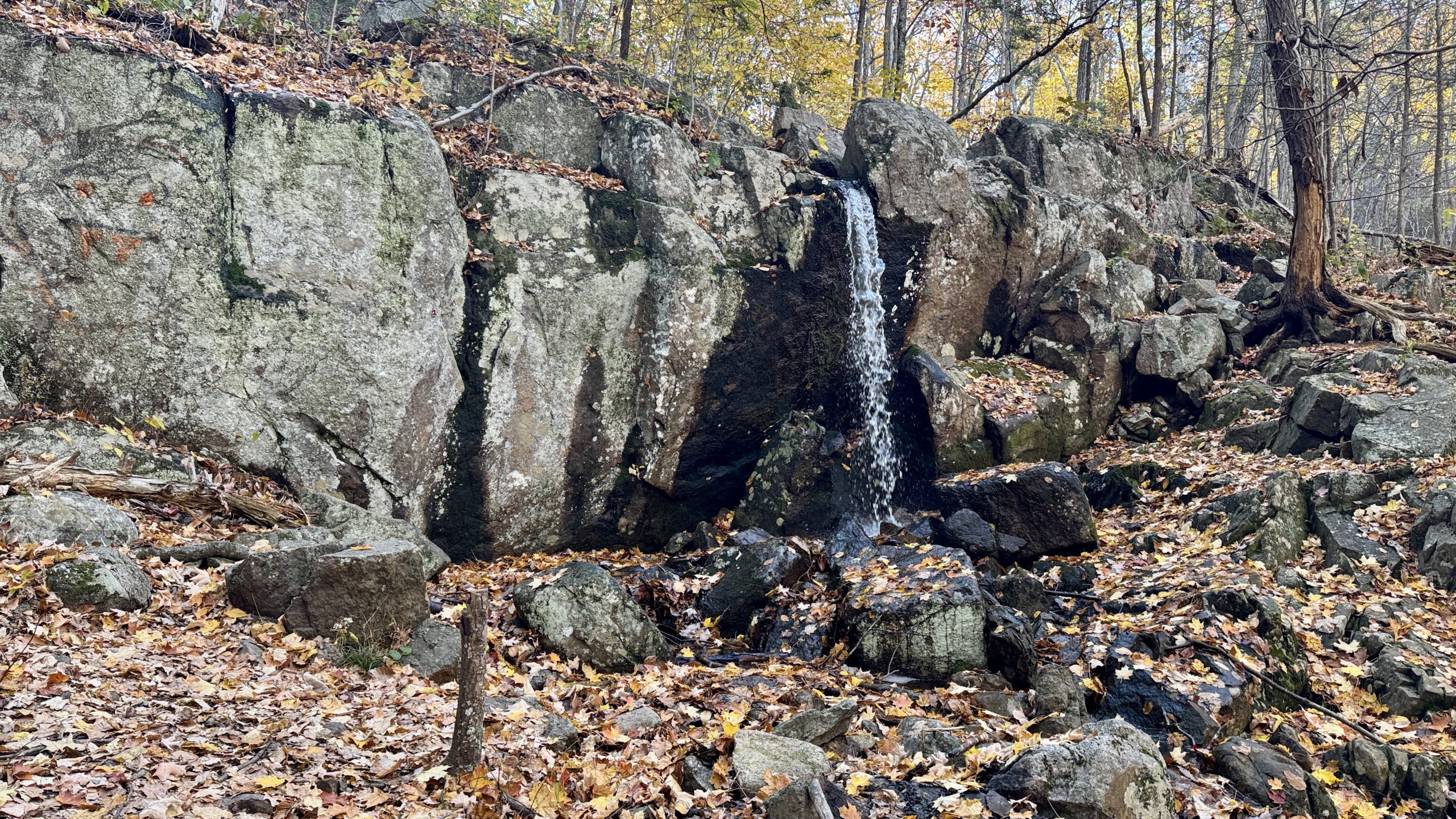
A small waterfall just before Fitzgerald Falls.
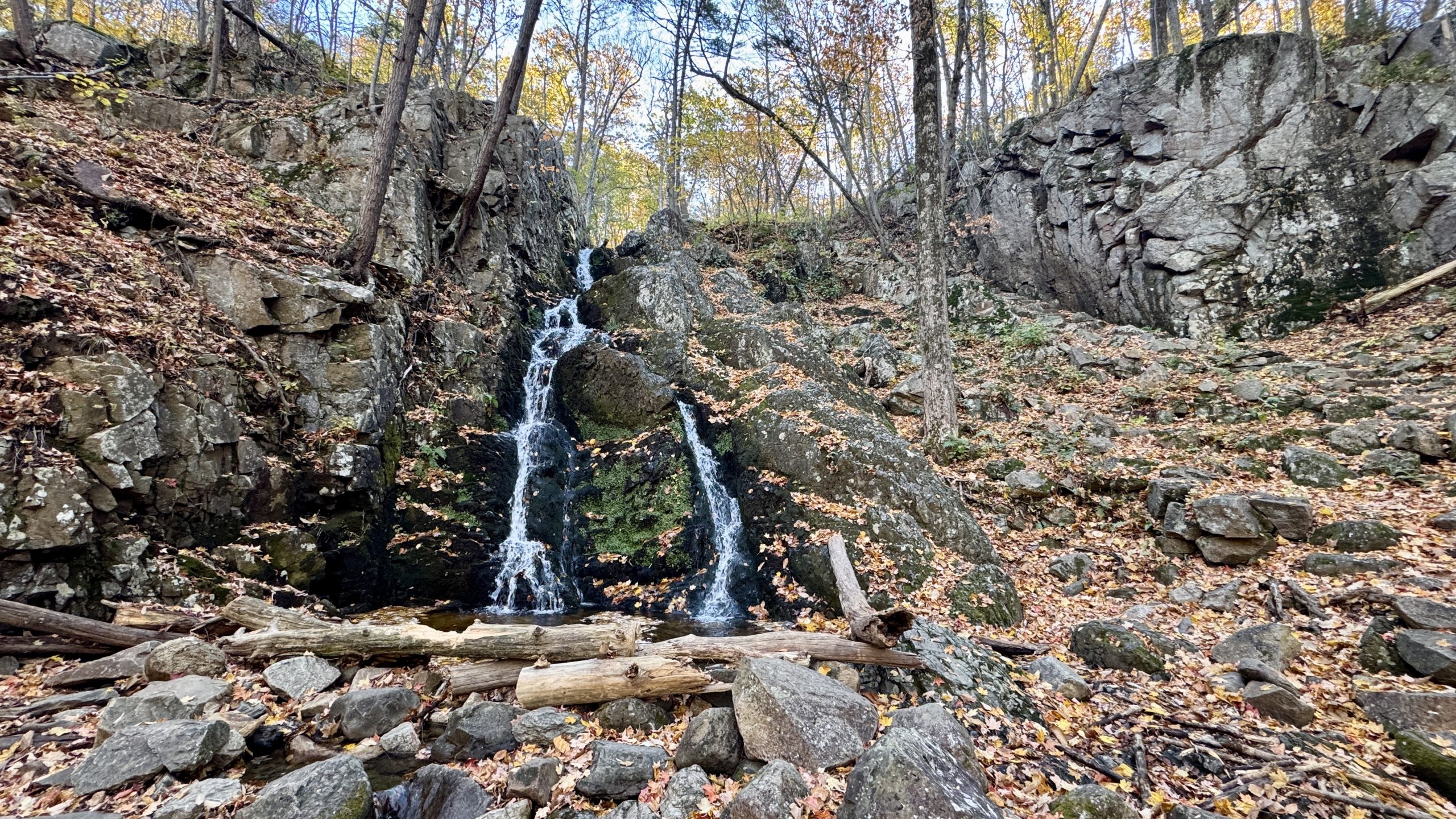
Fitzgerald Falls.
Things Take A Turn
After Fitzgerald Falls the AT climbs and spends a lot of time being crowded by my least favorite obstacle – rocks. For a hiker like myself who likes to make time, the rocks were like land mines. I had to focus almost every step to avoid getting tripped up, occasionally getting it wrong in spite of my efforts. Somehow I managed to lose the trail in the area of Buchanan Mountain. I came to a trail junction and didn’t see the hallmark white blazes that denote the AT. Then I noticed there weren’t any white blazes in the direction I had been hiking from either. There is no way I could be off the AT, I thought. The trail had finally become less rocky, smoother, and wider. In hindsight, maybe that should have been a hint. I pulled up the FarOut app to see how many feet I needed to backtrack only to find out that it wasn’t a matter of feet, it was about a half mile that I’d hiked down the wrong trail. The map didn’t even show a trail where I was, even though I was quite clearly on a trail. I could have backtracked, but I figured the trail I was on probably connect with Mombasha Road, which I could then walk up to rejoin the AT. I would definitely lose some time, but it seemed like it would be faster than backtracking. I figured I may as well get a picture as I passed by Mombasha Lake, which hikers on the AT wouldn’t see. I also decided to capture my feelings with a selfie.
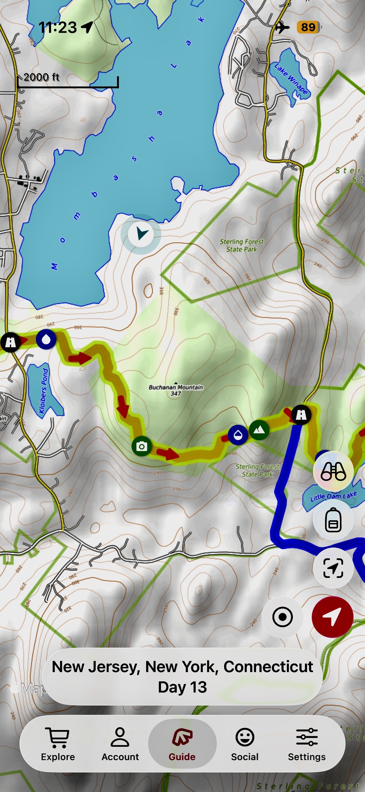
It was at this moment he knew he messed up.
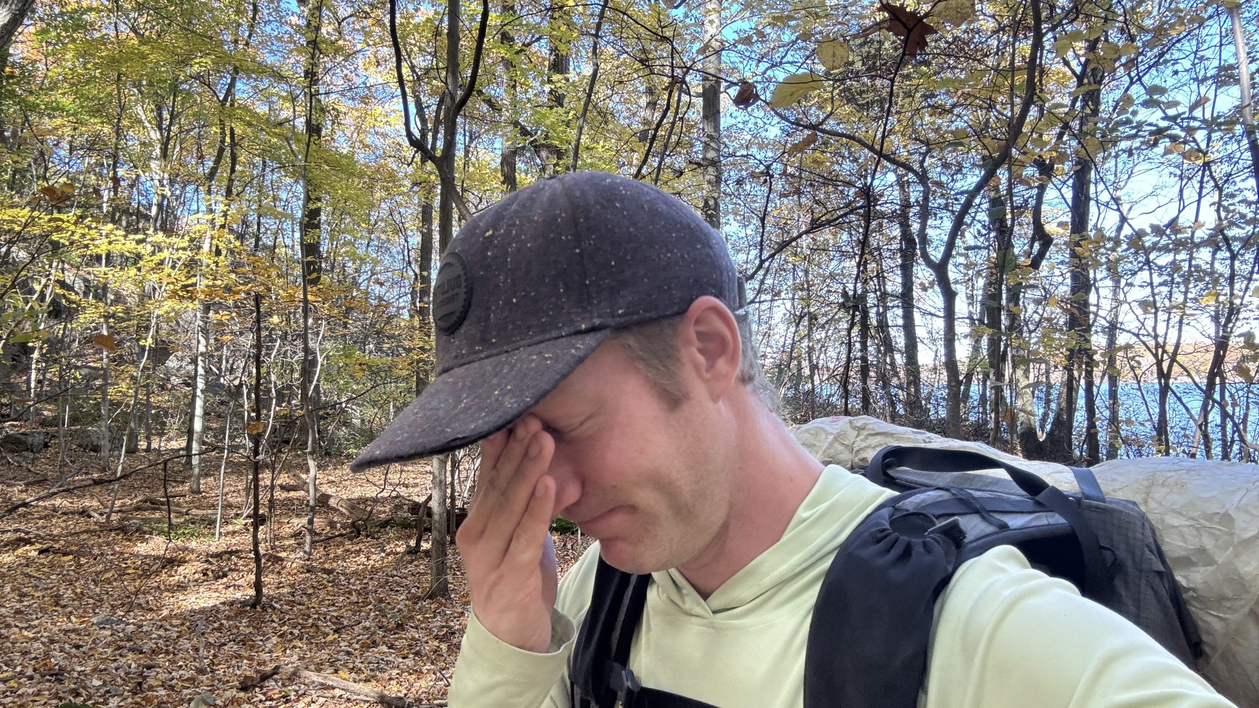
The stories of my competence have been greatly exaggerated.
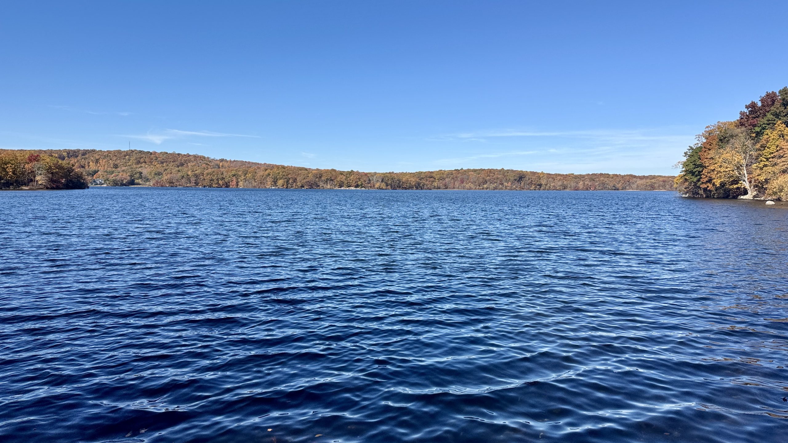
But hey, here is Mambasha Lake.
Harriman State Park
By the time I got back on the AT, I had only hiked 9 miles of the trail (8.8 to be exact) and needed to make up time. A few miles later I crossed over Arden Mountain, which had view of I-87, a highway I’d driven on many times, though never this far north. On the other side of the highway the AT enters Harriman State Park. Even on a Monday the parking lot was mostly full and plenty of people were out enjoying the trail. It was a clear, 60 degree day, so I couldn’t blame them for wanting to get in a little time outdoors before conditions become decidedly more winter-y. The park reminded me of the Pawling Nature Preserve. The forest was clear with trees widely dispersed and a few rock walls winding around the area. There were dozens of trails through the park, though they were well marked and I didn’t have any issue staying on the AT.
In the middle of the park, the AT climbs through a massive rock formation. One section about 30 feet long is narrow enough to squeeze hiker’s packs as they make their way through. The passage has been given the name “Lemon Squeezer”. I made it through while only scraping the groundsheet and tent rolled up at the top of my pack. I had to stay clear of the green water dripping down the side of the rock, it didn’t look warm or tasty. I couldn’t decide if I was making a lemonade hike from my unplanned detour or if the trail was making lemonade out of me.
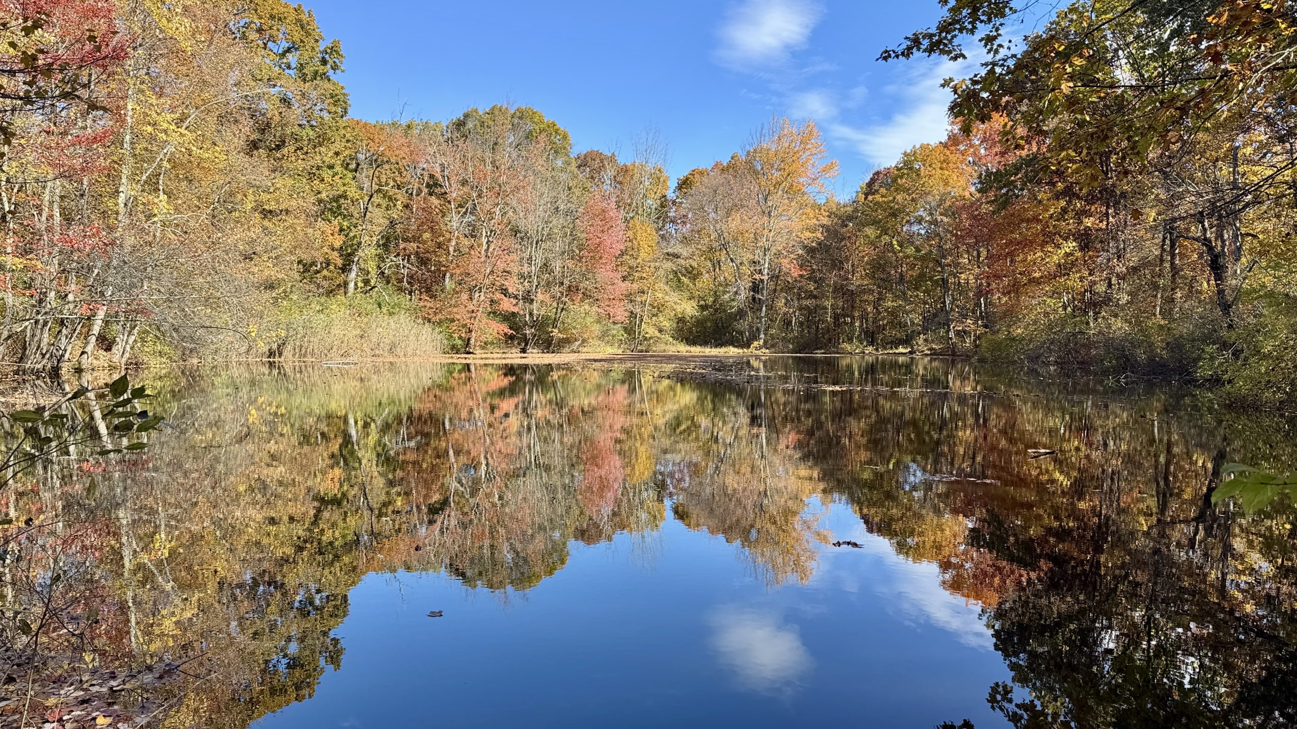
Little Dam Lake.
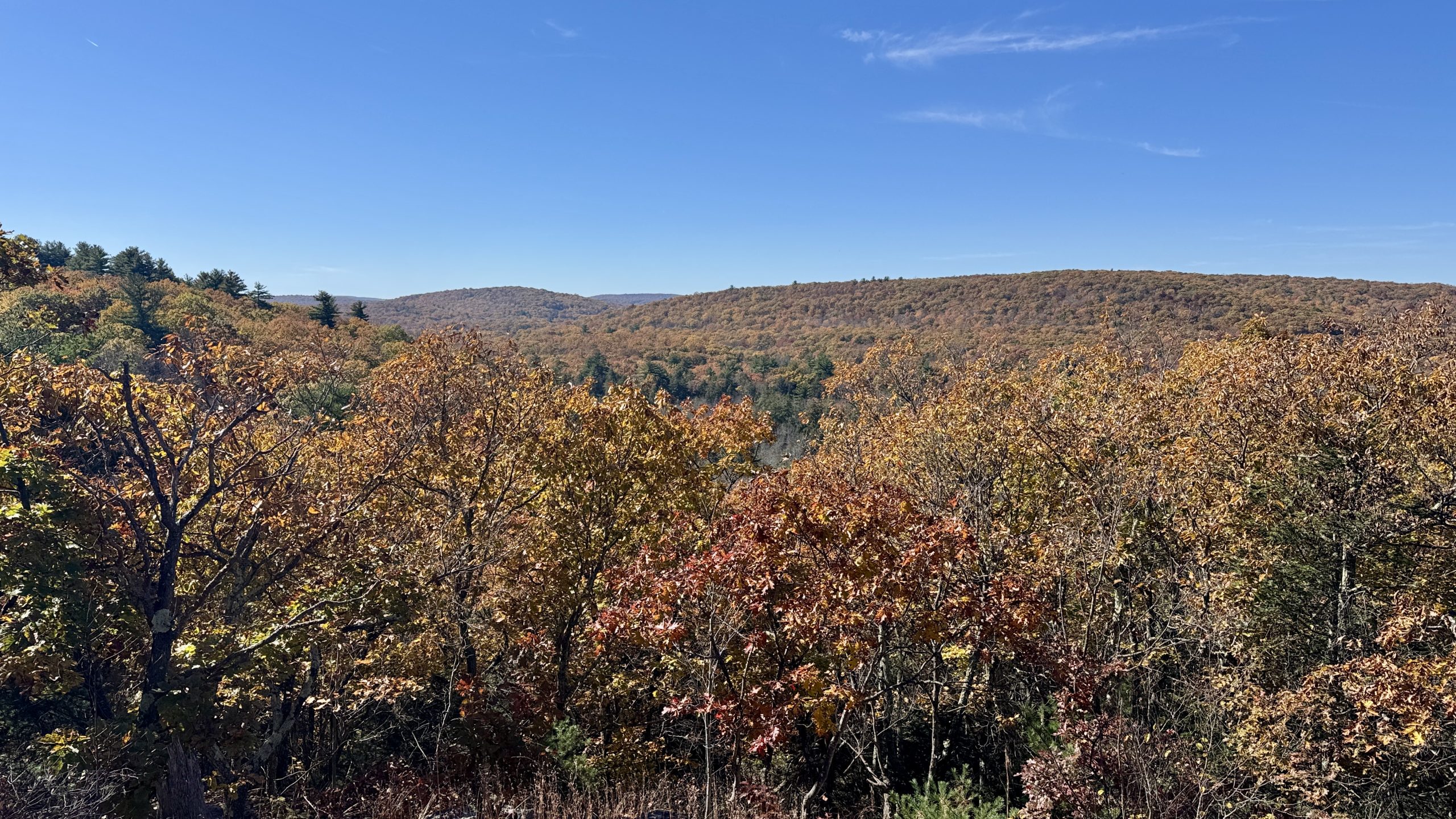
View from Arden Mountain.
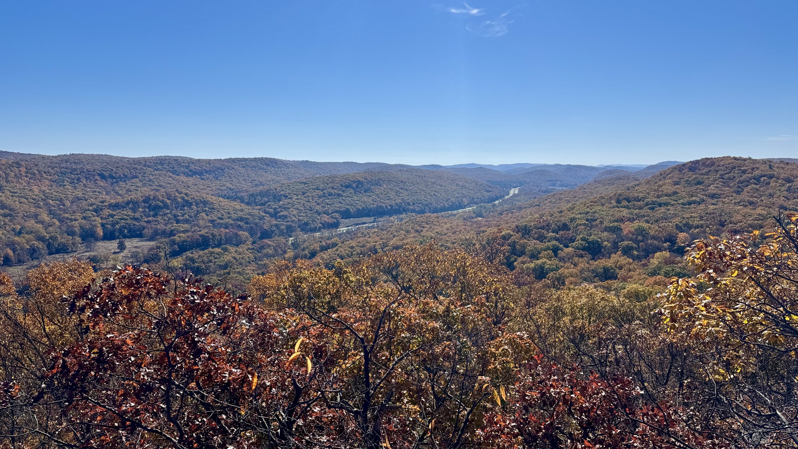
Interstate 87 winds through the hills below.
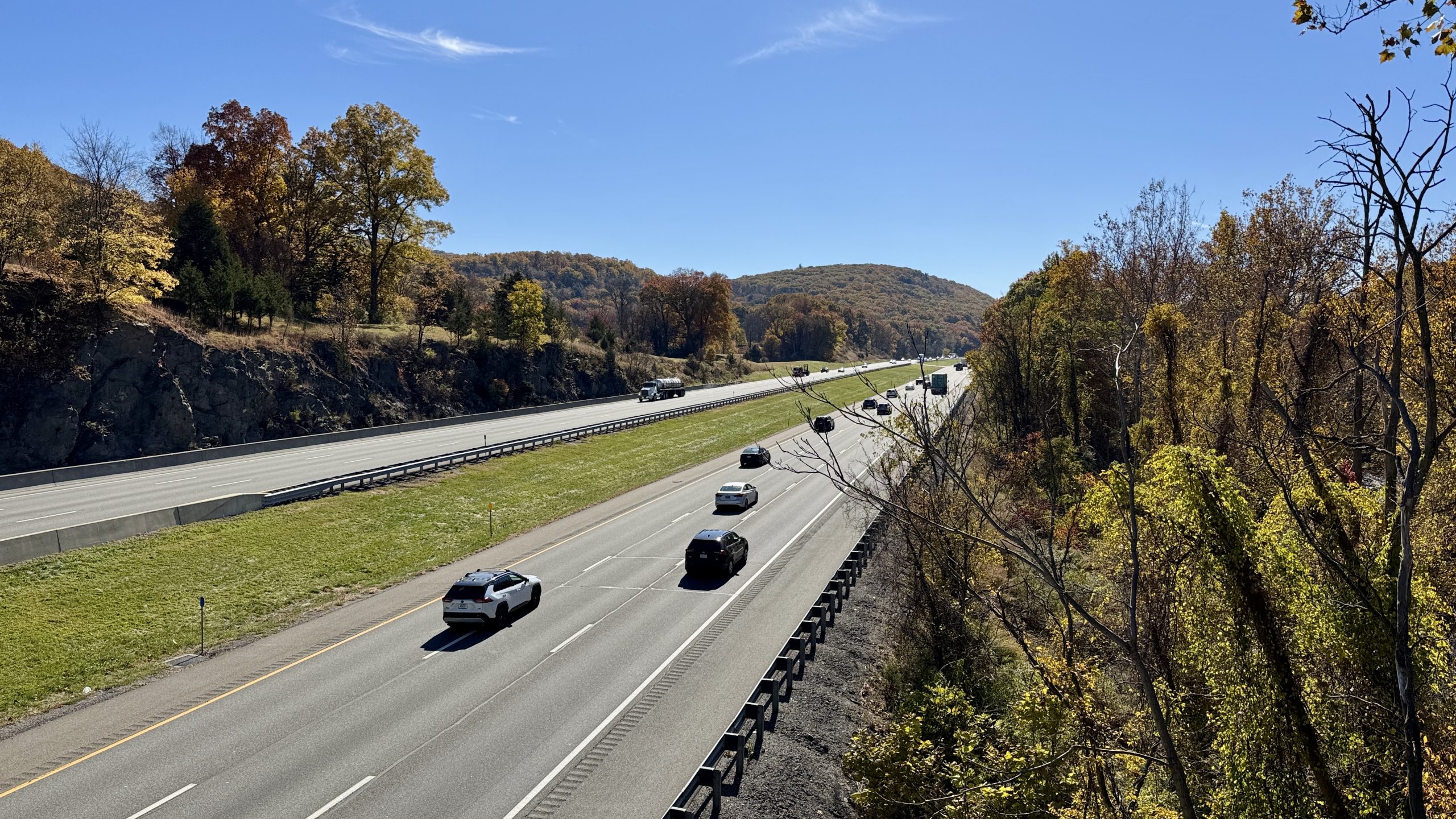
Crossing I-87.
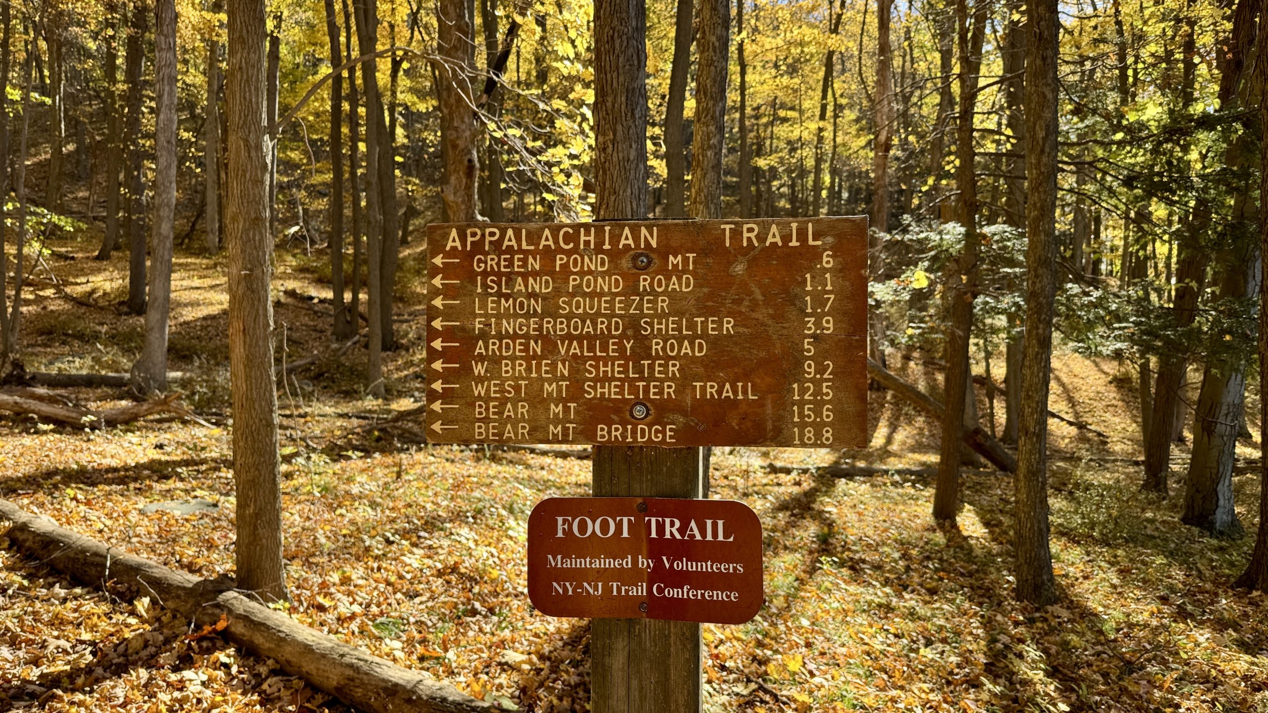
A rather thorough trail marker. These are rare in the northeast.
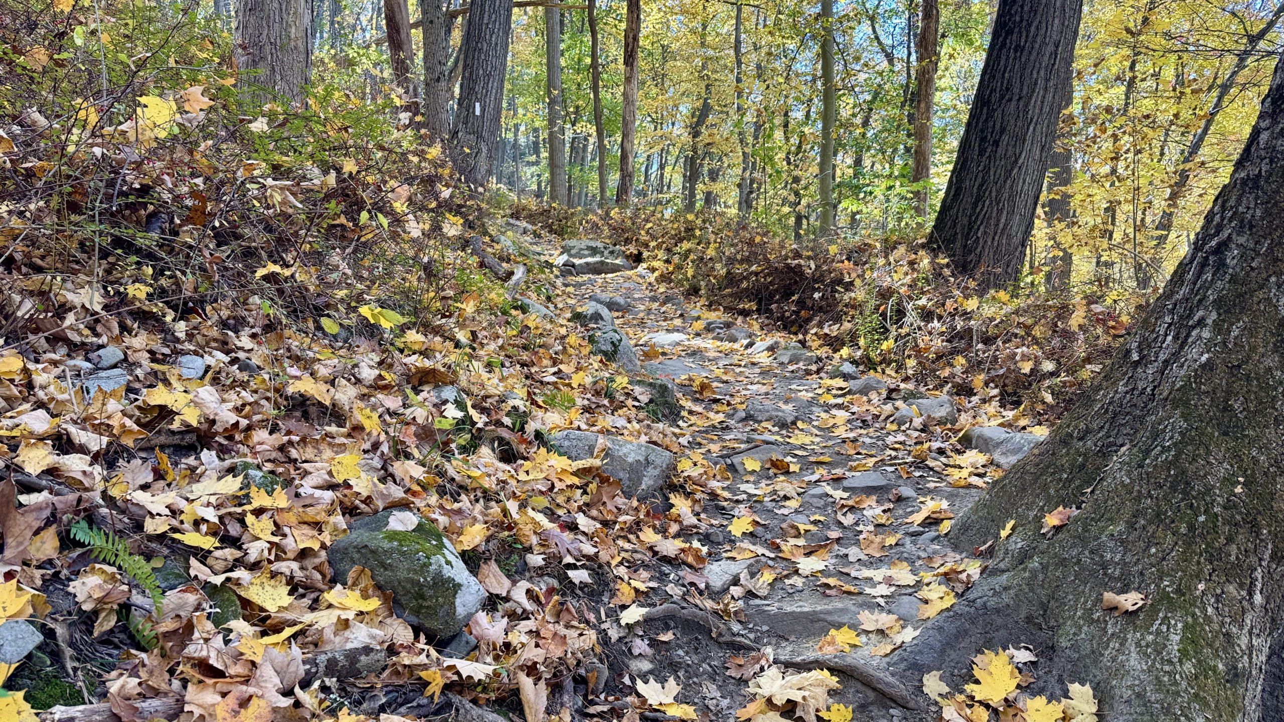
I just thought this little ramp in the park looked photogenic.
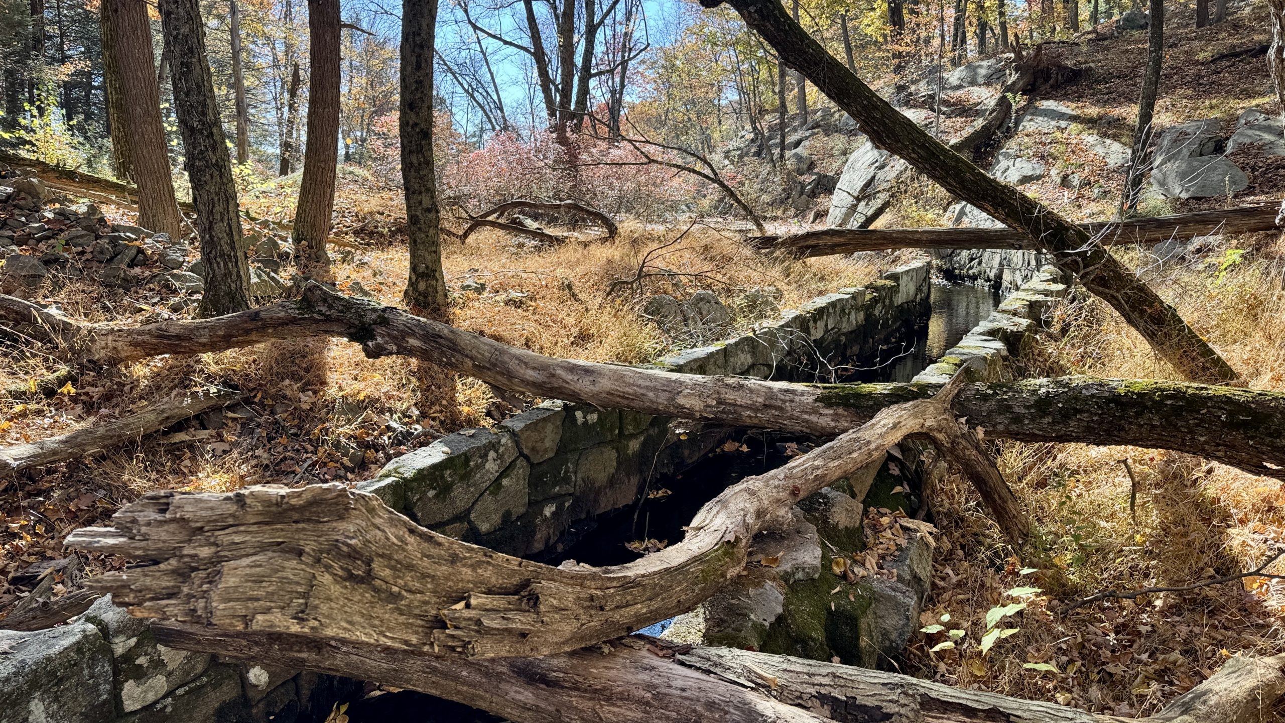
The sluiceway from Island Pond.
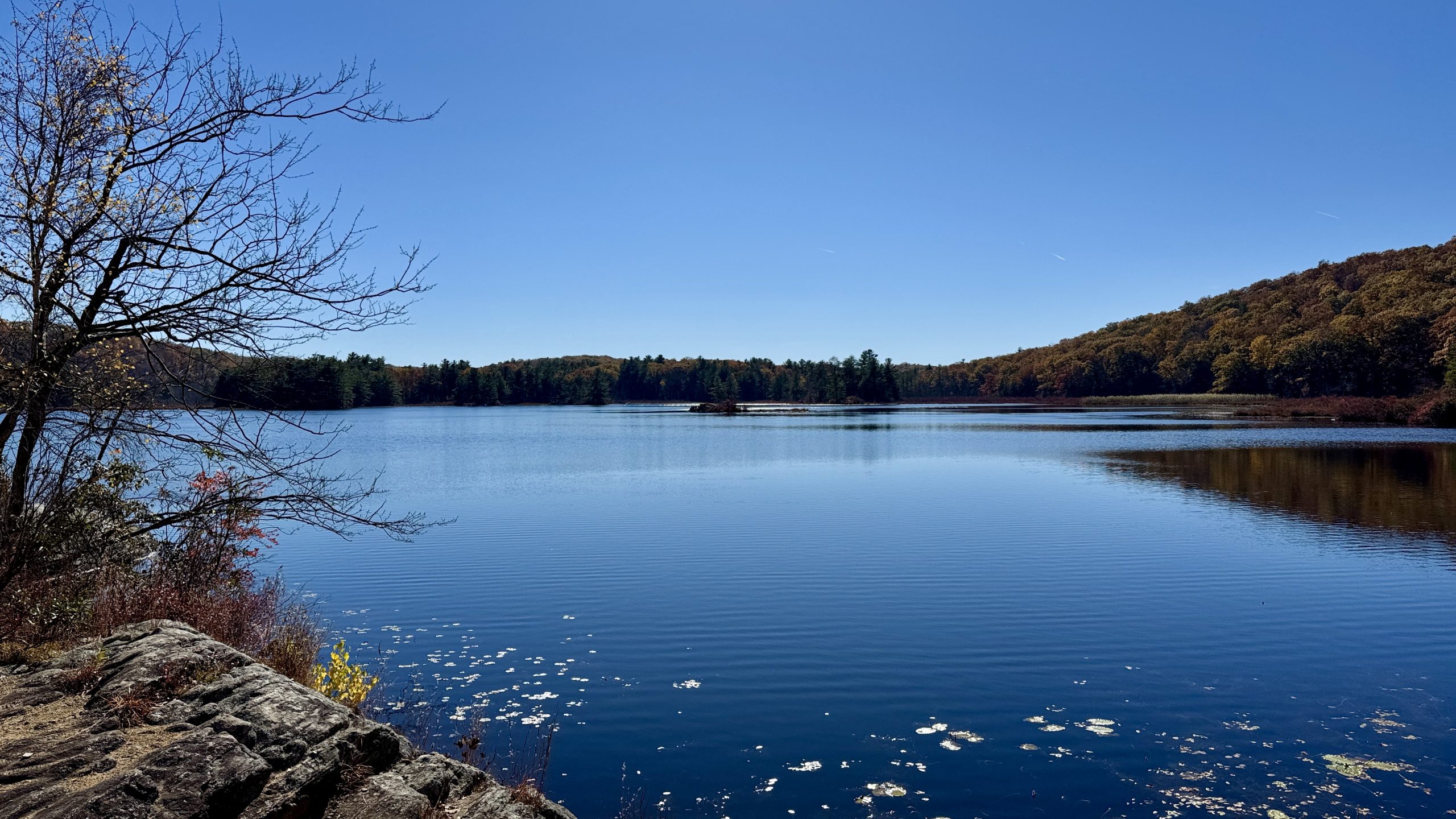
Island Pond.
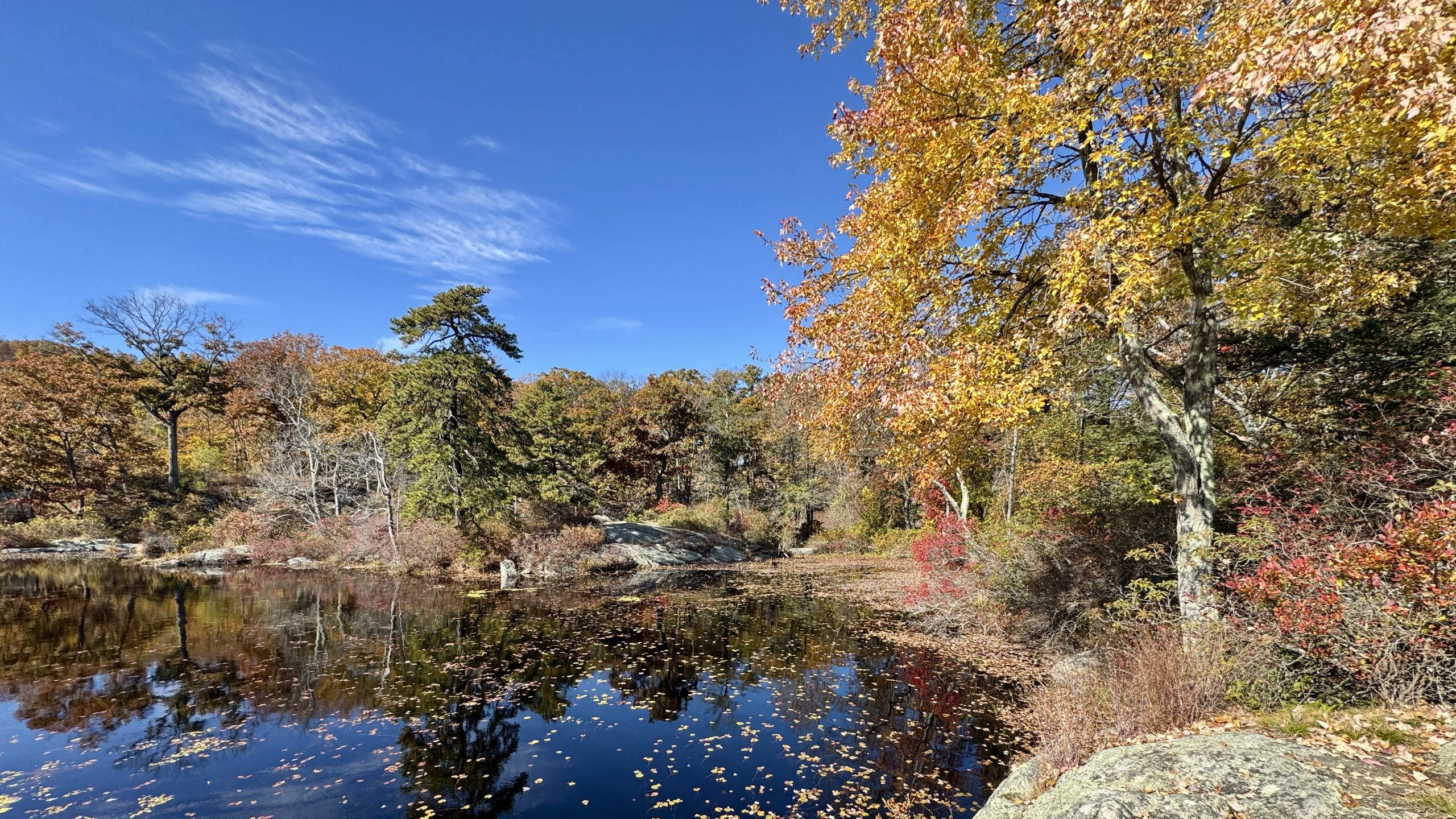
Island Pond.
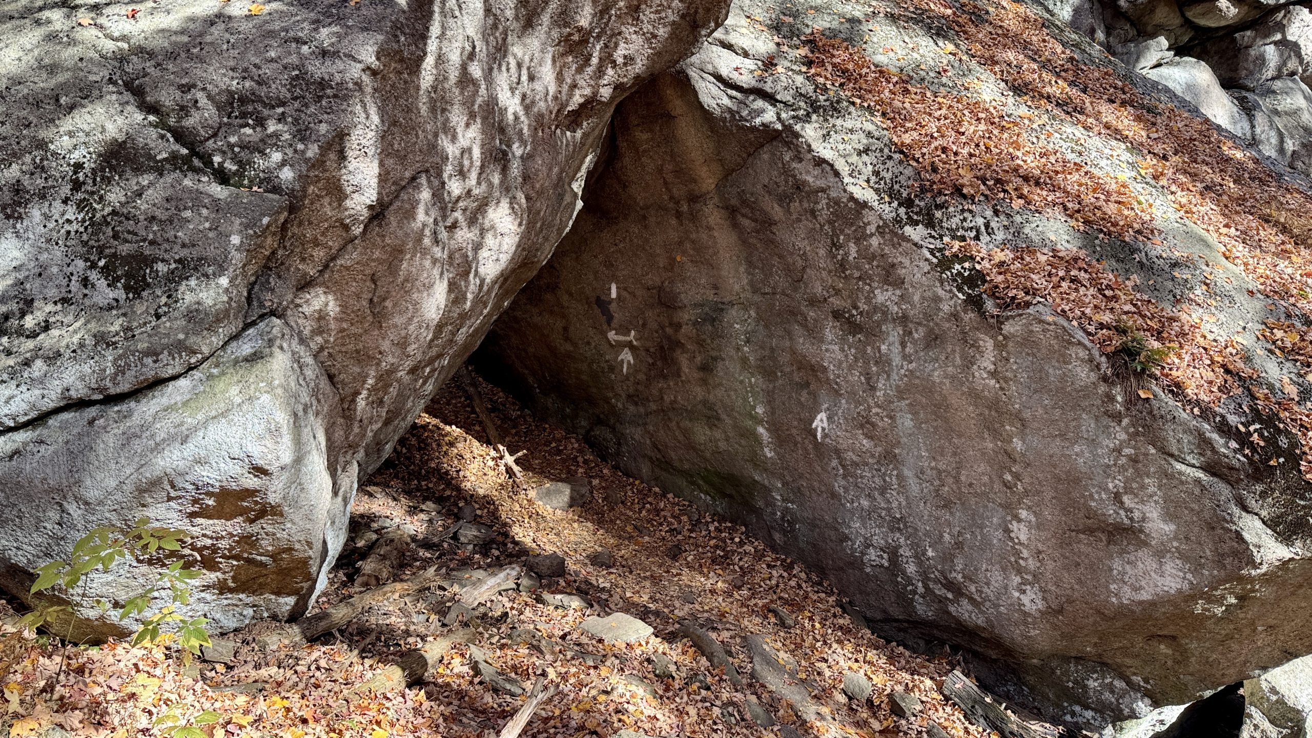
The entrance to the Lemon Squeezer.
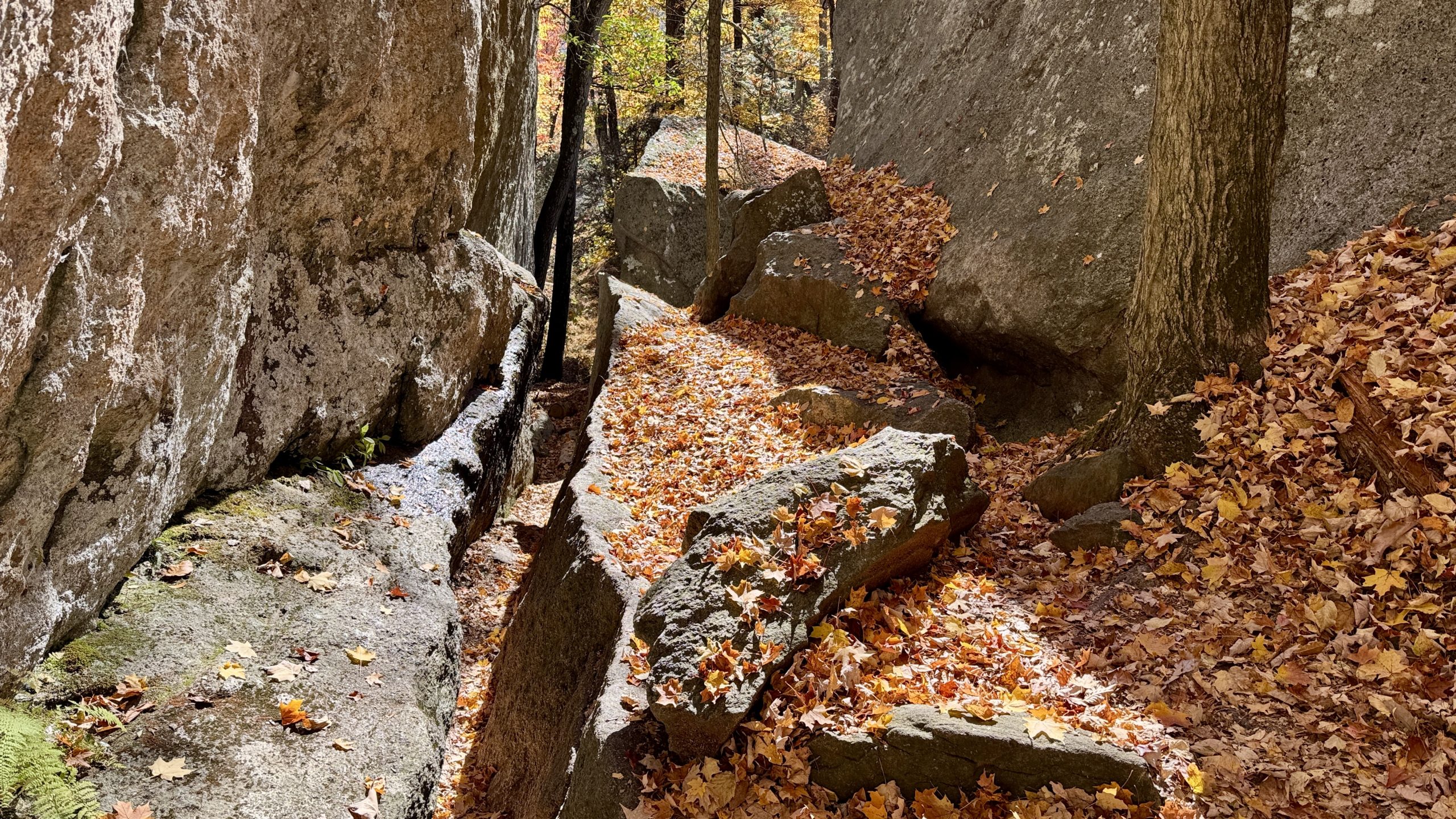
The Lemon Squeezer.
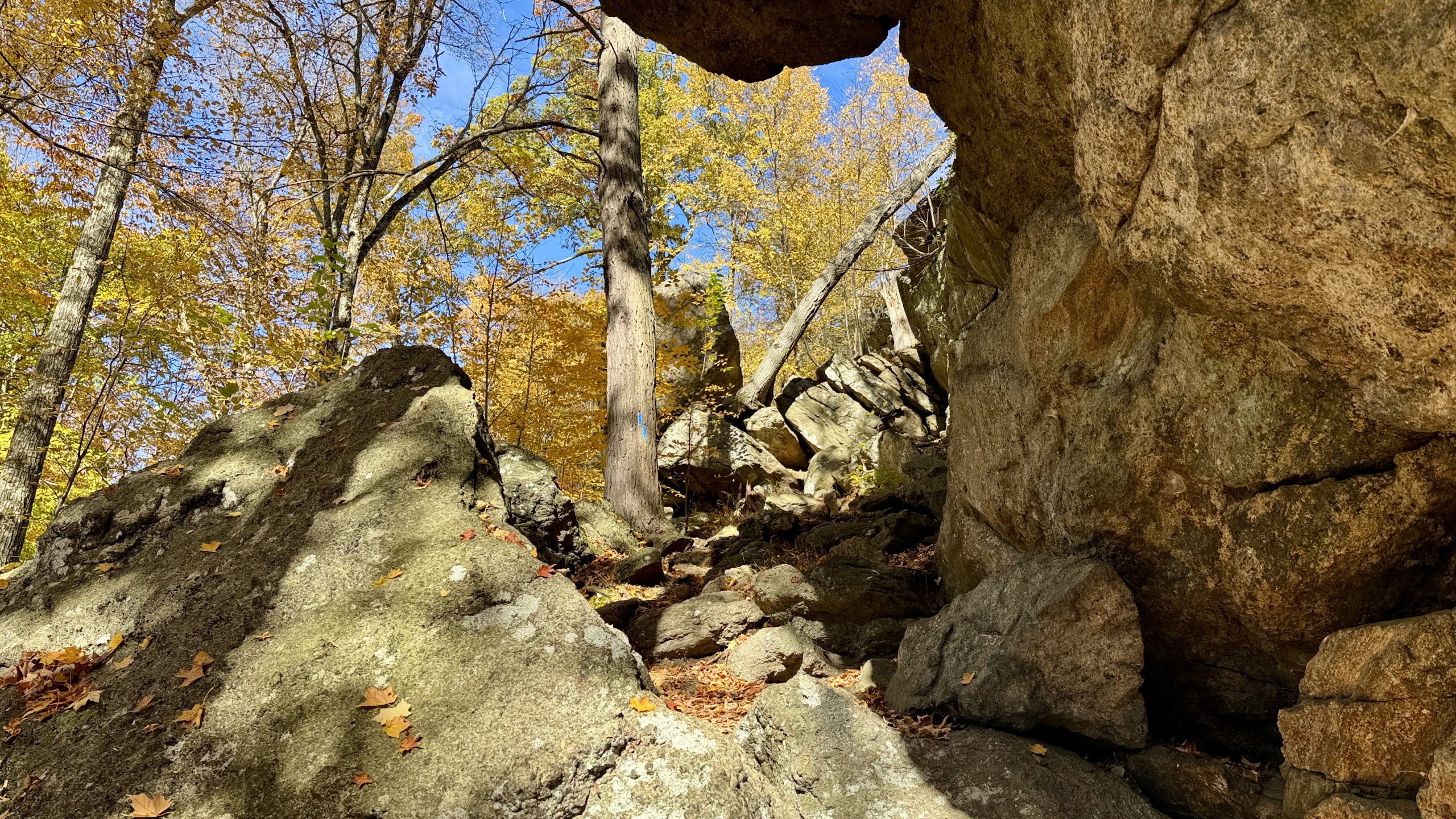
More climbing past the Lemon Squeezer.
Final Stretch
The AT continued through Harriman State Park and ascends Fingerboard Mountain. There wasn’t much of a view on top of the mountain but the trees were picturesque and I stumbled upon a flock of wild turkeys. They were careful to keep their distance from me but not too eager to fly off. Several rocky miles later I reached the William Brien Memorial Shelter. A creature of habit, I pitched my tent in the same spot that I picked out on Friday night. I managed to make it with time to spare before sunset. I studied the area map on FarOut, wondering if some of the alternate trails I had passed during the day might provide a different path back to my van. It certainly looked like there was a nice shortcut past Tiorati Circle. Even though it was just my first hiking stint of the week I was already feeling that I might like an early finish.
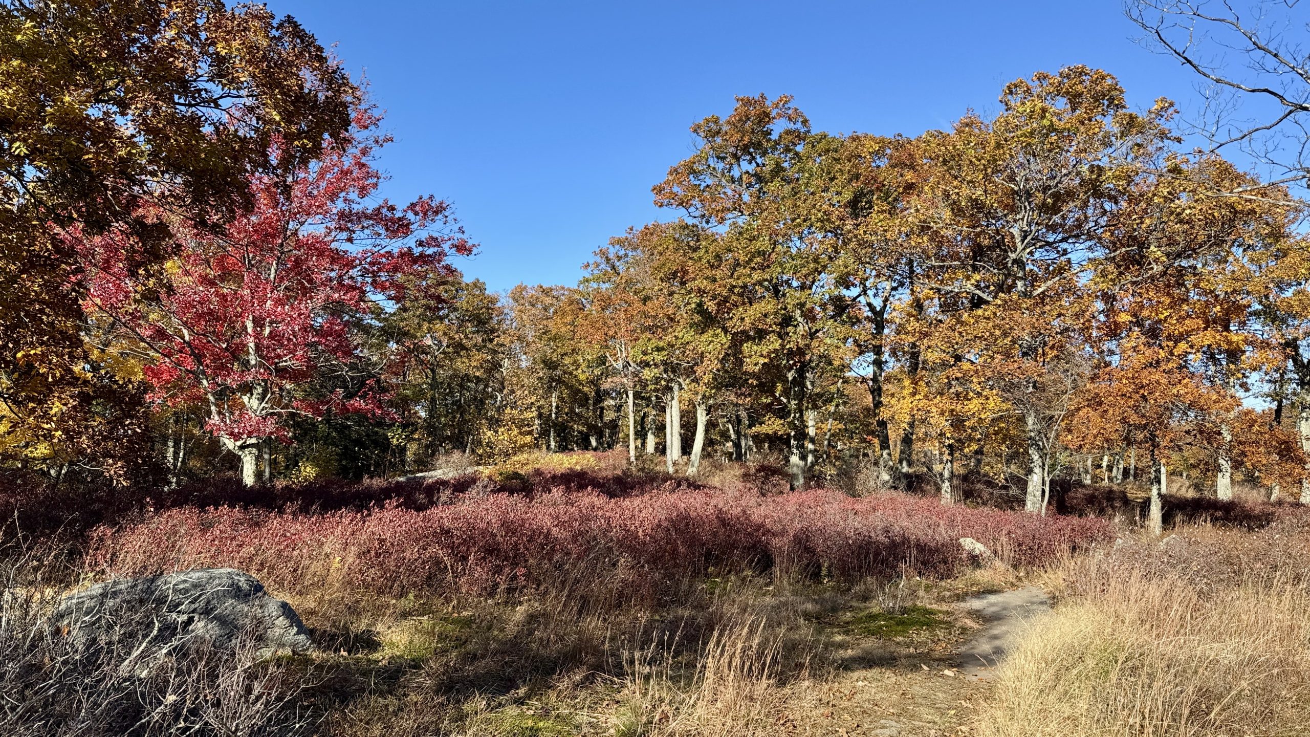
Crossing over Fingerboard Mountain.
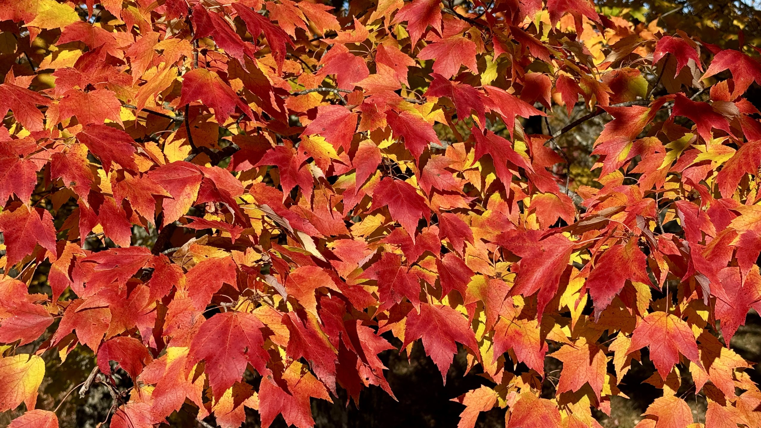
Incredible color on the leaves!
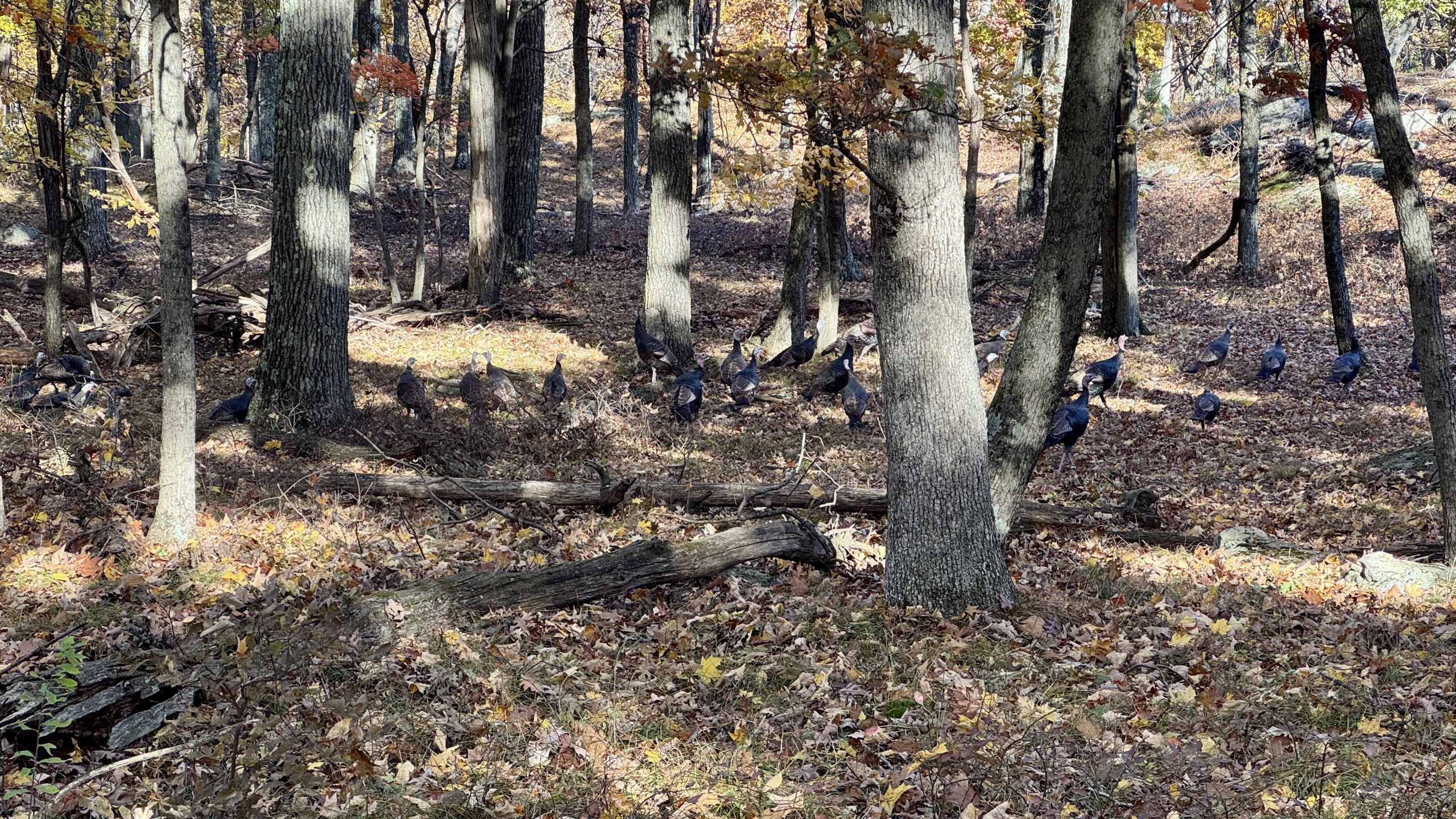
Wild turkeys hiking the AT.
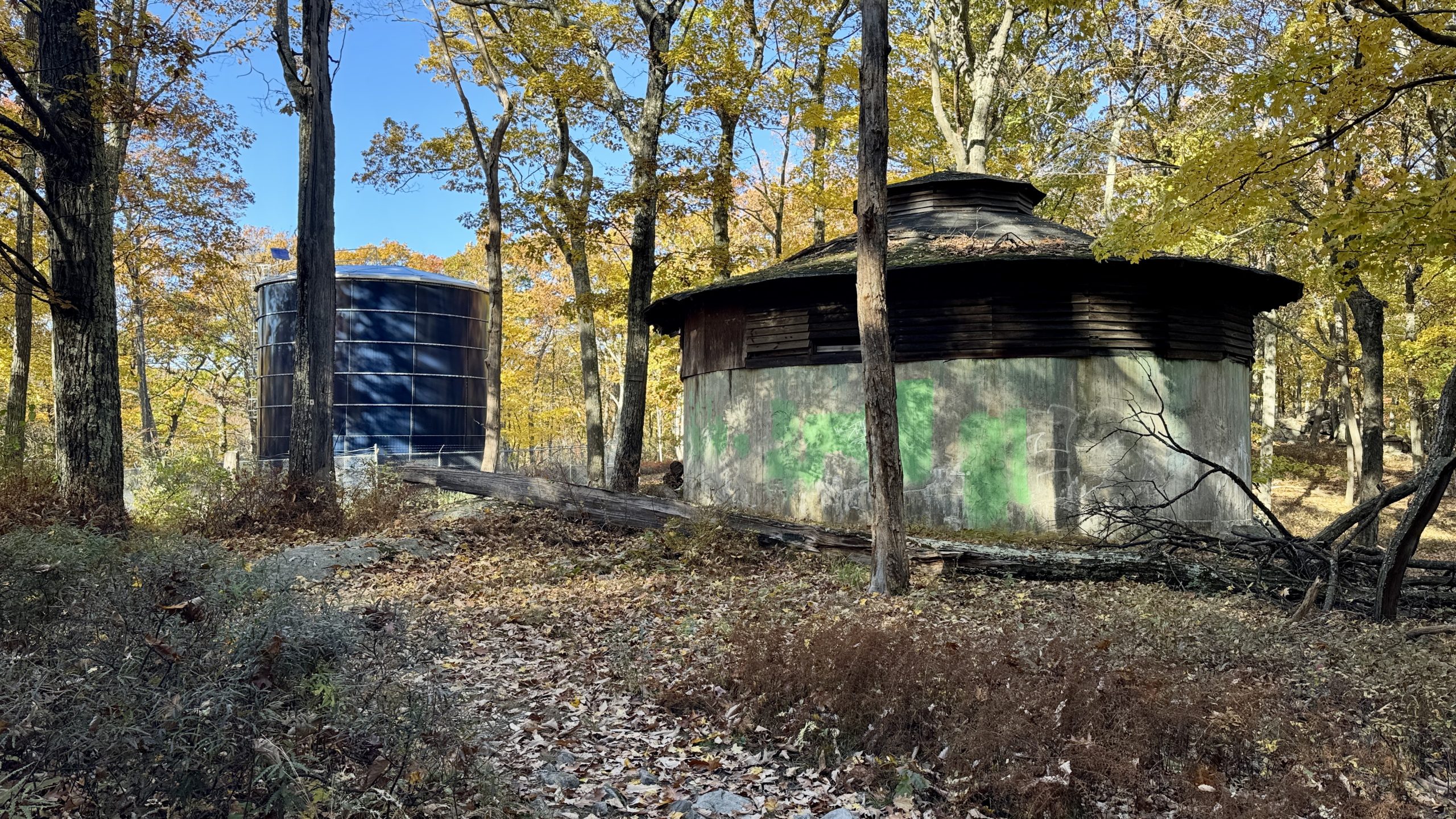
A pair of water towers on the AT. There was no spigot for hikers 🙁
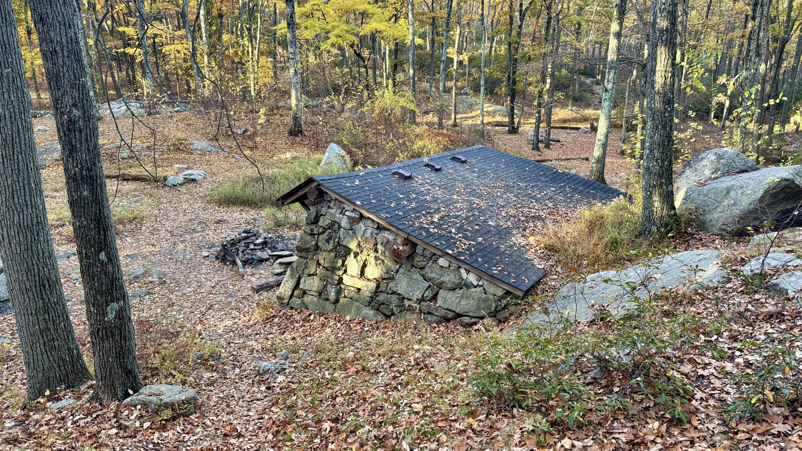
The William Brien Memorial Shelter.
-See You Tomorrow
| Leg | Start | Mile | End | Mile | Ascent | Descent | Direction |
|---|---|---|---|---|---|---|---|
| 1 | NY Route 17A | 1,376.5 | William Brien Mem Shelter | 1,398.4 | 4,856 | 4,650 | NOBO |
Total: 21.9 miles, 54,471 steps
- Type of hiking: Backpacking
- Camp: Tent, William Brien Memorial Shelter

This website contains affiliate links, which means The Trek may receive a percentage of any product or service you purchase using the links in the articles or advertisements. The buyer pays the same price as they would otherwise, and your purchase helps to support The Trek's ongoing goal to serve you quality backpacking advice and information. Thanks for your support!
To learn more, please visit the About This Site page.

Comments 2
“The trail had finally become less rocky, smoother, and wider. In hindsight, maybe that should have been a hint.”
Boy can I relate to that feeling.
Haha, and the extra twist of the knife is that you were feeling great since you were making miles so easily only to realize you weren’t making any miles…