
 ">

New York, New York
October 23rd, 2026
The days are shortening but my hikes aren’t. I cross the mighty Hudson River, visit with some animals, and climb a low mountain.
Stalling Sun
Early to bed, early to rise, as they say. Today and tomorrow would be 25.9 mile days. Some days I have plenty of flexibility with how I chop up a section, these were not those days. I would be starting from 14.4 miles north of the Hudson River. After that, there are more than 10 miles of trail with no official places to camp. Well, I suppose there is the West Mountain Shelter. The only issue there is that it requires a 1.2 mile jaunt off the Appalachian Trail. That would add up to a full hour of hiking out and back that wouldn’t be counted toward my 4,396 mile expedition. Think of me what you will, I wasn’t up for that.
I dragged myself out into the cold and onto the AT before 8:00AM. I got the distinct impression that the sun shared my reticence to start the day. At 8:00AM I firmly believe the sun should be shining, inviting people out into the world whether they are starting some leisure activities or getting ready for a day of work. Not in late October, it takes its sweet time. I know this has become a common theme of the blog, but it is so difficult to ignore after spending the better part of this year outside while literally racing the sun to a camping spot more days than not.
Hudson Homing
Trekking south from Dennytown Road I found myself back in the absolutely Clarence Fahnestock State Park. It is a massive complex with enough trails to keep a dedicated hiker busy for weeks. Fortunately I only have to worry about the AT and its two remaining miles in the park. I reached the climb up Canopus Peak just before mile 4. It was significant enough to push my legs out of their preferred operating window, not a good sign this early in the day. Happily there was plenty of time for them to recover on the next handful of miles which were flat and then gently descended toward the town of Graymoor. The town is the home of the Appalachian Market on Route 9. It isn’t much more than a gas station with a deli counter, but it is open 24 hours a day and a popular resting spot for AT hikers since the trail runs across the property and there are a few picnic tables stationed out front.
After the market the trail enters the Hudson Highlands. I could just see the massive river through gaps in the trees. I knew I was on a inevitable collision course with the river. The trail turned abruptly away from the Camp Smith trail, which leads to Anthony’s Nose, a viewpoint high above the river. I made a note to try and create some time to squeeze that side quest in tomorrow. For now I had a long stretch of rock steps that would bring me down to Route 9D and the Bear Mountain Bridge.

This picture is of the…you know what I think you can figure it out.
Peaceful Uneasy Feeling
Unless my memory is really letting me down, I think I am right in saying that the Hudson is the widest river that the AT crosses. The drop from the bridge to the river is enough to make you uneasy. A large boat passed beneath the bridge as I crossed, but from where I was standing it looked like a toy. I looked ahead to Bear Mountain, now it was my leg’s turn to feel uneasy.
But before I could climb the mountain, I got to experience the Trailside Zoo. The AT passes right through the zoo, hence its name. The Trailside Zoo specializes in taking in non-releasable animals. A red fox that lost a leg, another that was raised by humans, and an orphaned beaver are a few examples of the types of animals on display. My pace didn’t stand a chance, I took my time, making sure to stop by every animal exhibit.
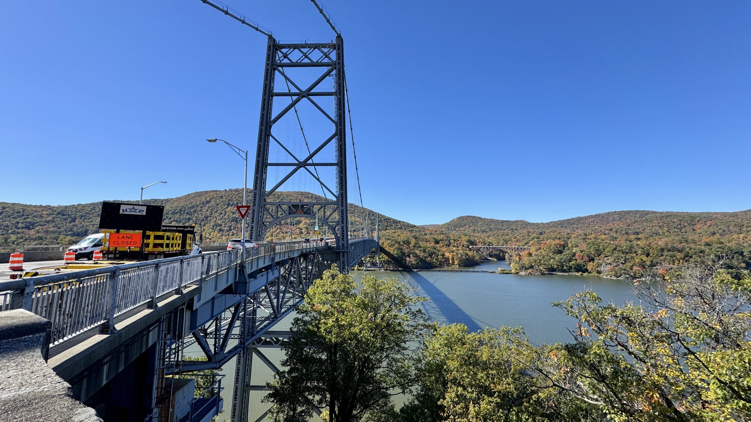
The Bear Mountain Bridge.
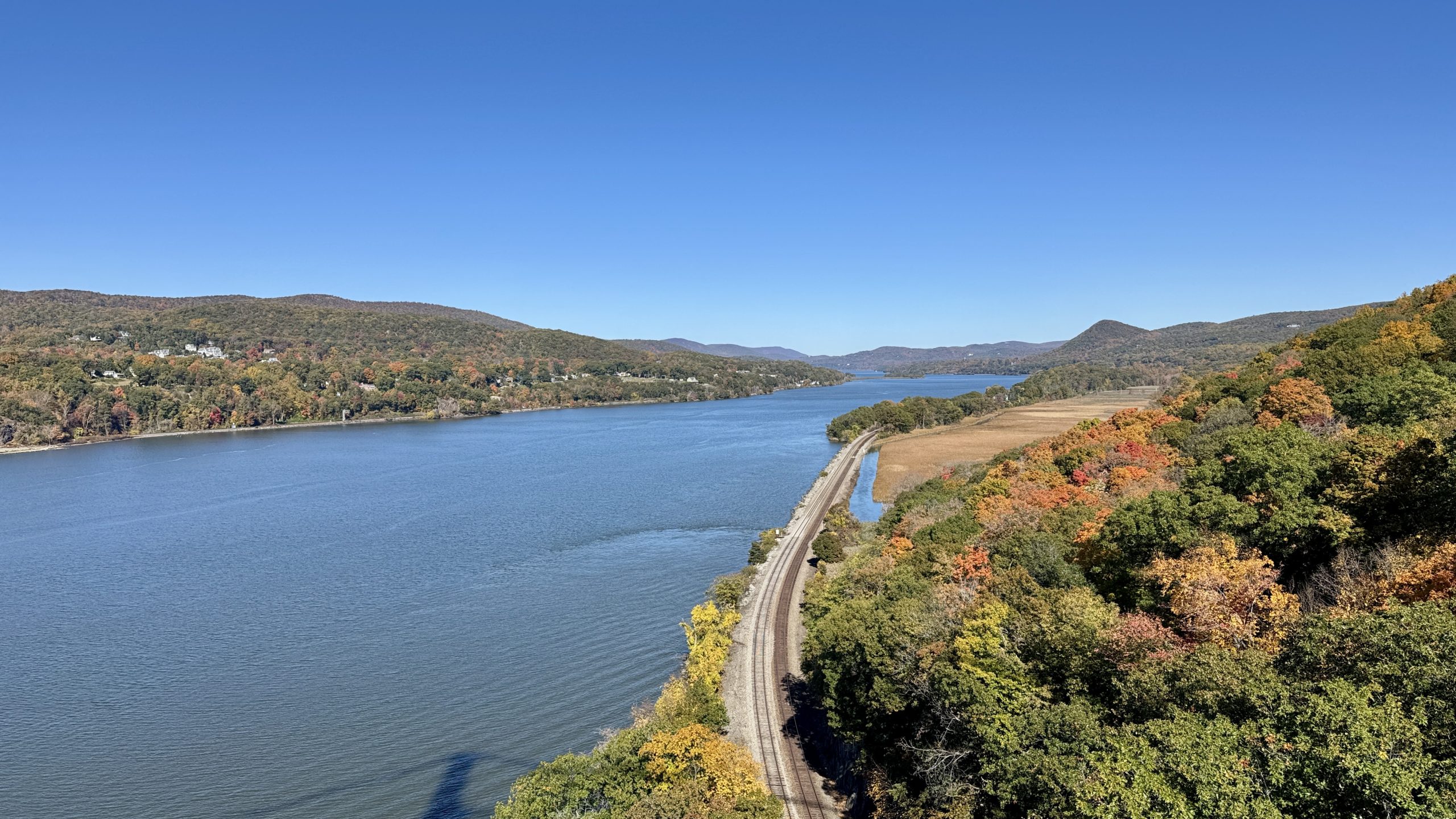
Crossing the Bear Mountain Bridge.
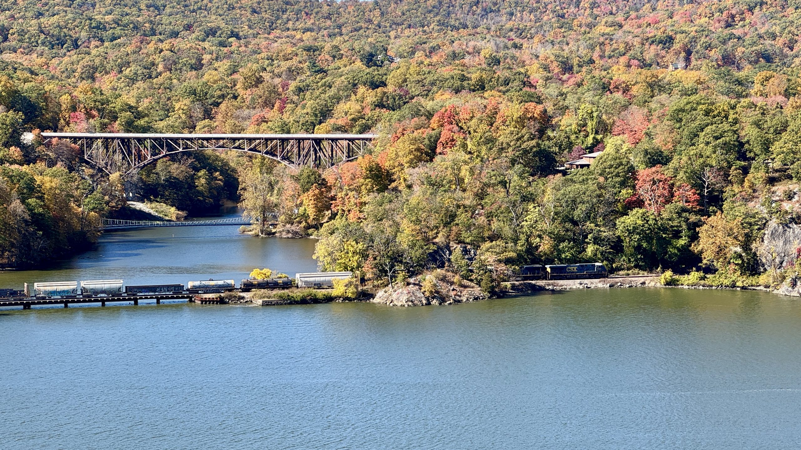
A train passes by on the west side of the Hudson River.
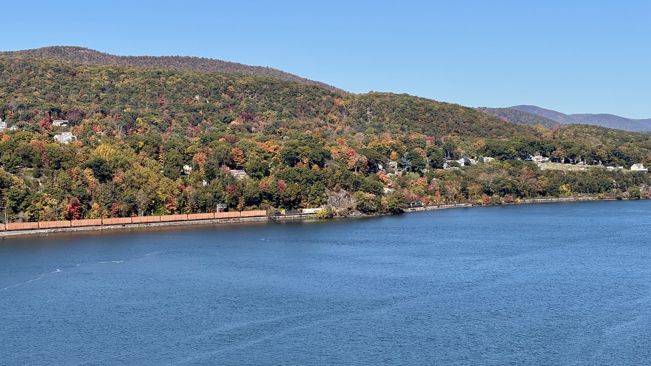
A train passes by on the west side of the Hudson River.
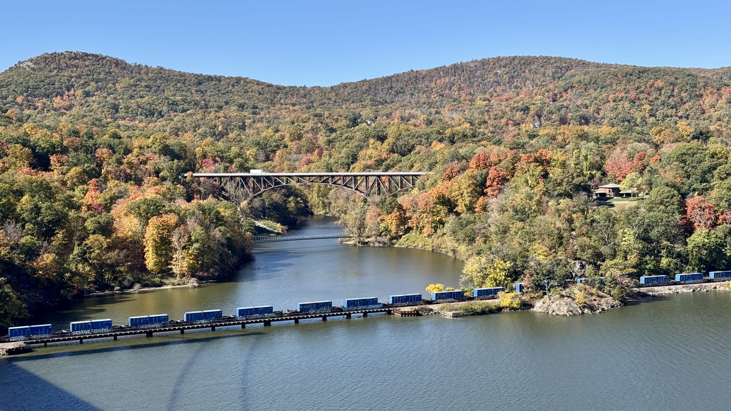
A train passes by on the west side of the Hudson River.
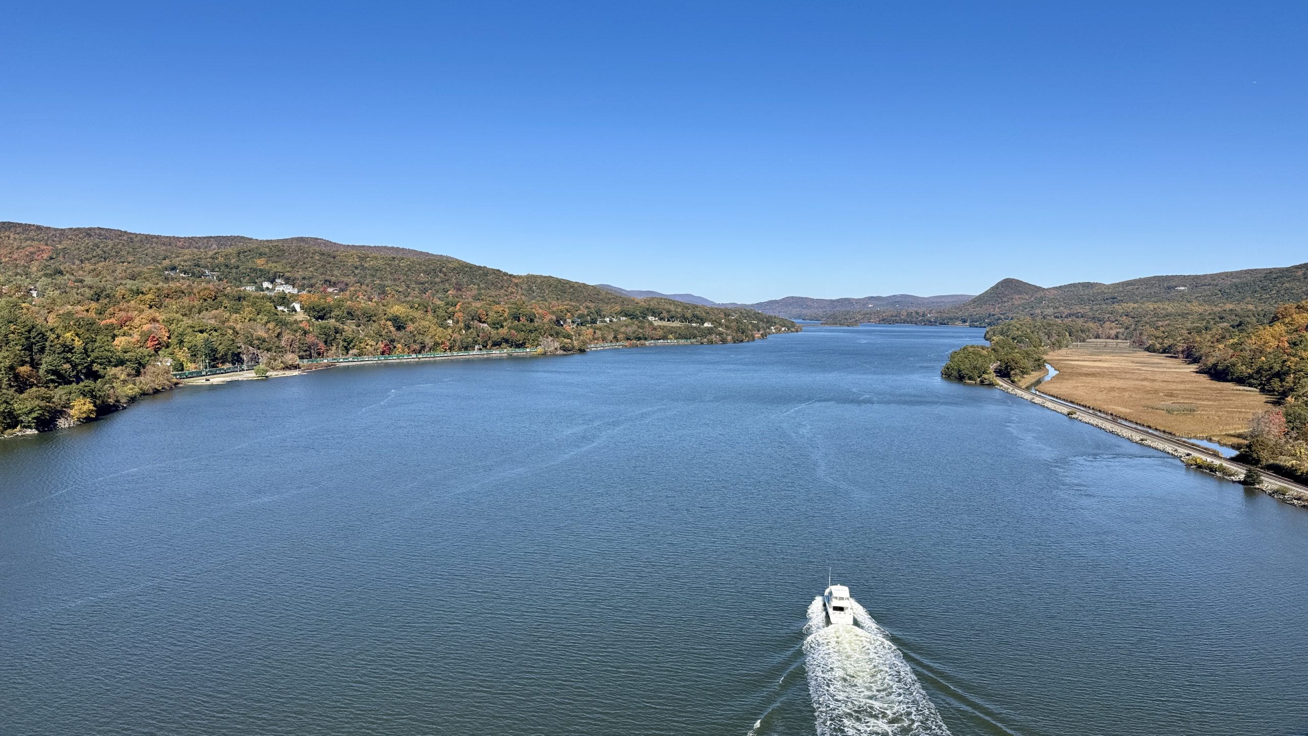
A boat powers up the Hudson.
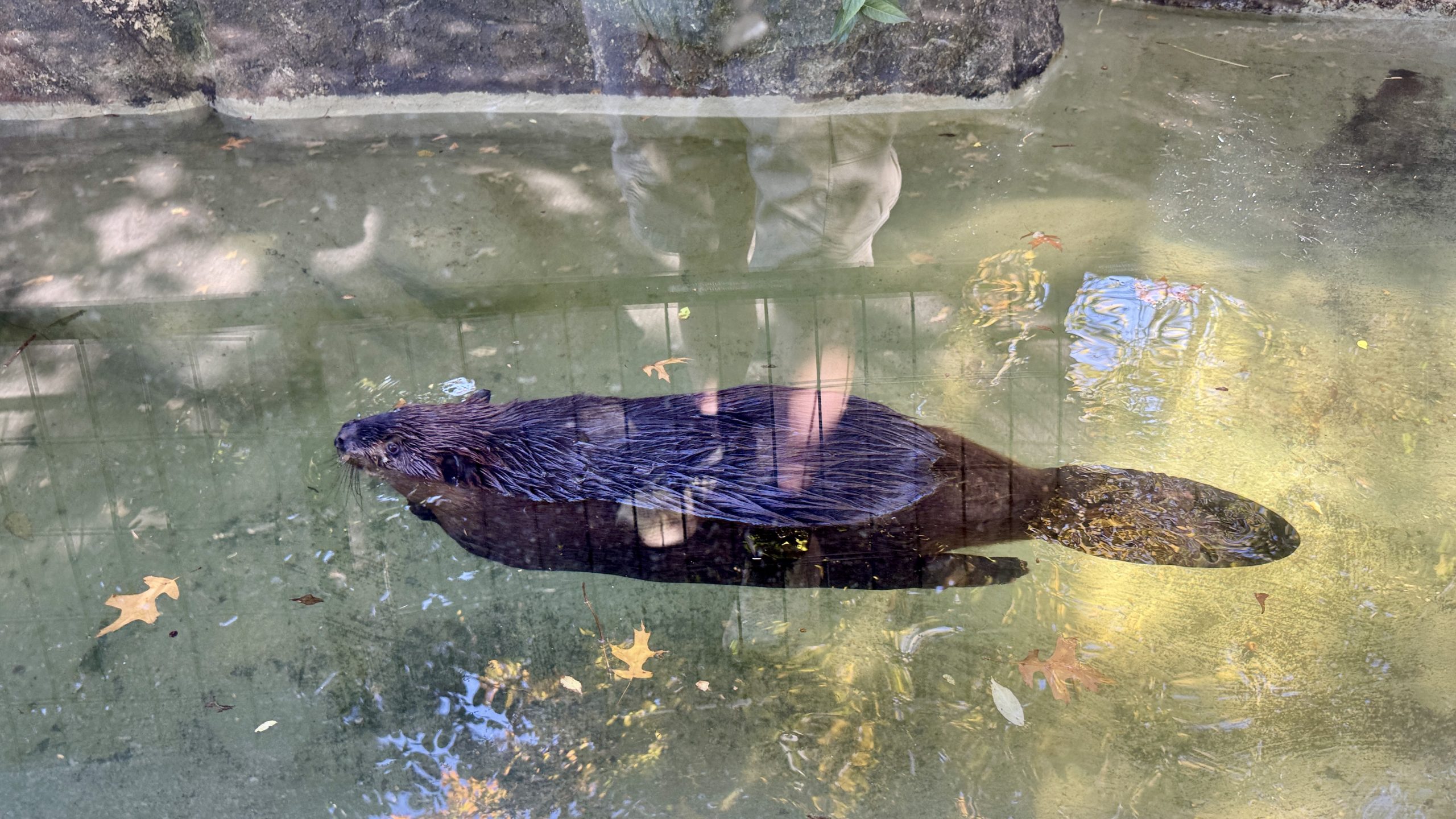
A beaver paddles around its habitat at the Trailside Zoo.
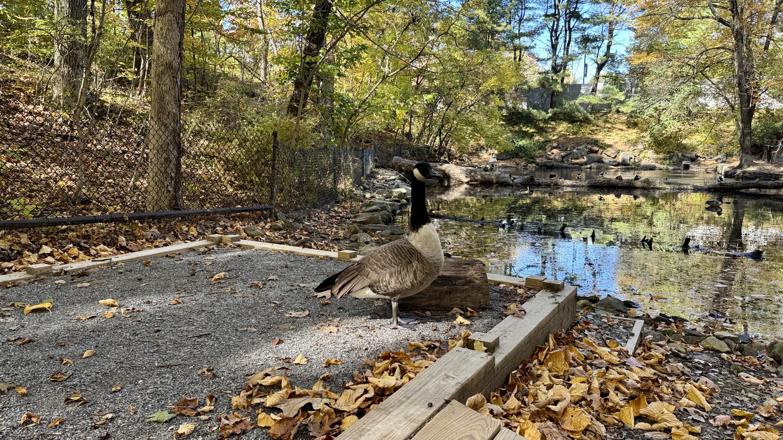
A goose poses for a picture at the Trailside Zoo.
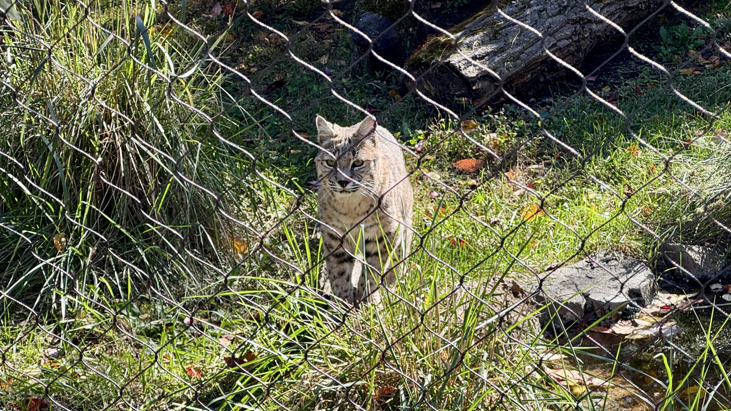
A bobcat approaches me at the Trailside Zoo.
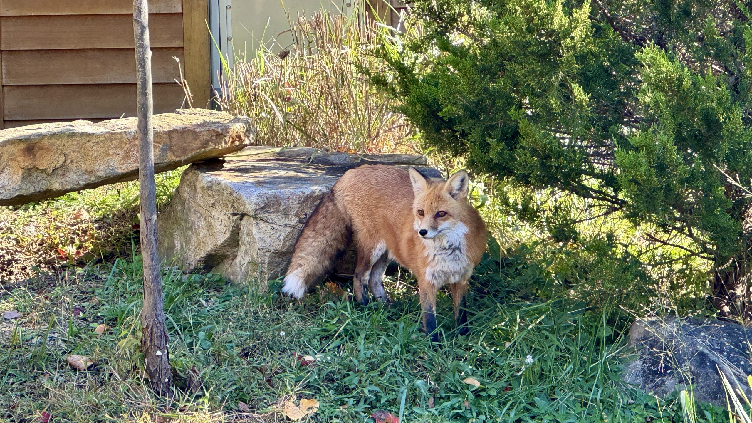
A red fox at the Trailside Zoo.
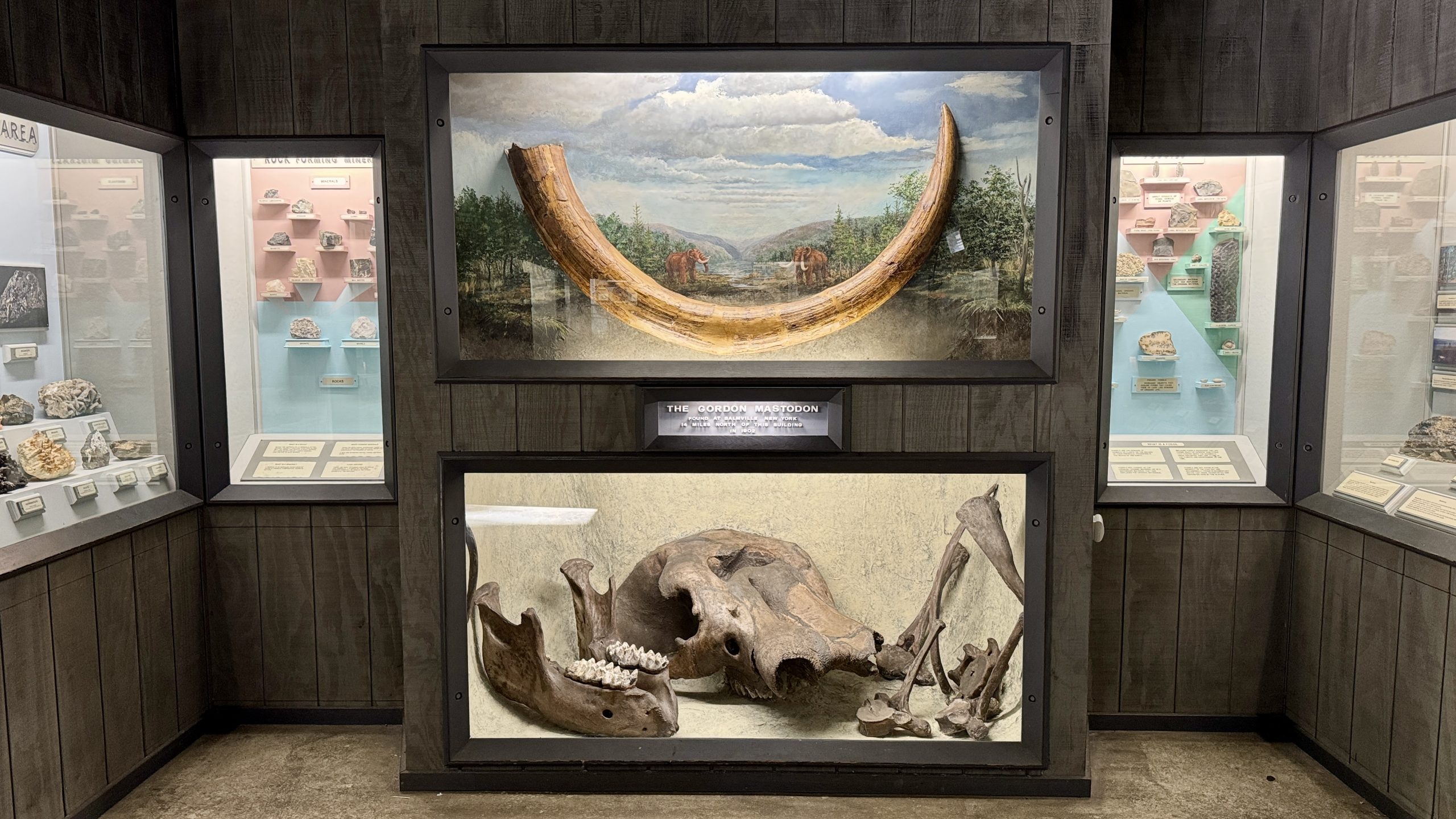
A mastodon skeleton on display at the Trailside Zoo.
Bear Mountain
I could have spent much longer at the zoo, but I had the small matter of 10 more miles to hike. I set off up Bear Mountain, which, at 1,288 feet, would be among the lowest points of the trail in plenty of other AT states. But since the Hudson River is barely above sea level near Bear Mountain, the climb up the mountain is over 1,000 feet. That isn’t a big deal, but since I am now on a seventh consecutive day of hiking I felt more than I would have on most other days. The mountain is covered in viewpoints, culminating in the Perkins Memorial Tower. I climbed the (additional) 40 feet to the top of the tower which provided 360 degree views. The Hudson was now far below me, winding south toward New York City, whose skyline is visible from the top of the mountain.
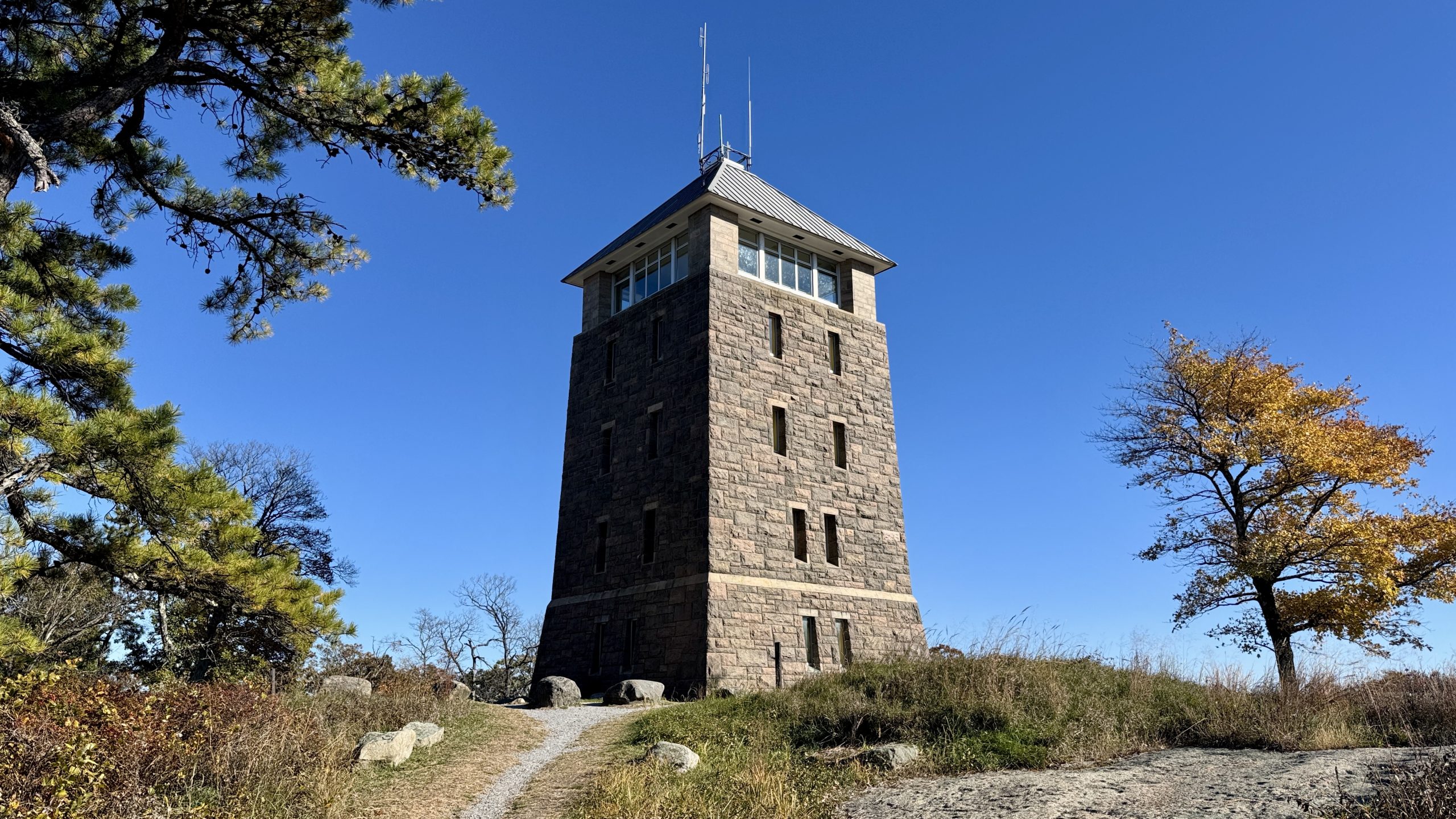
The Perkins Memorial Tower.
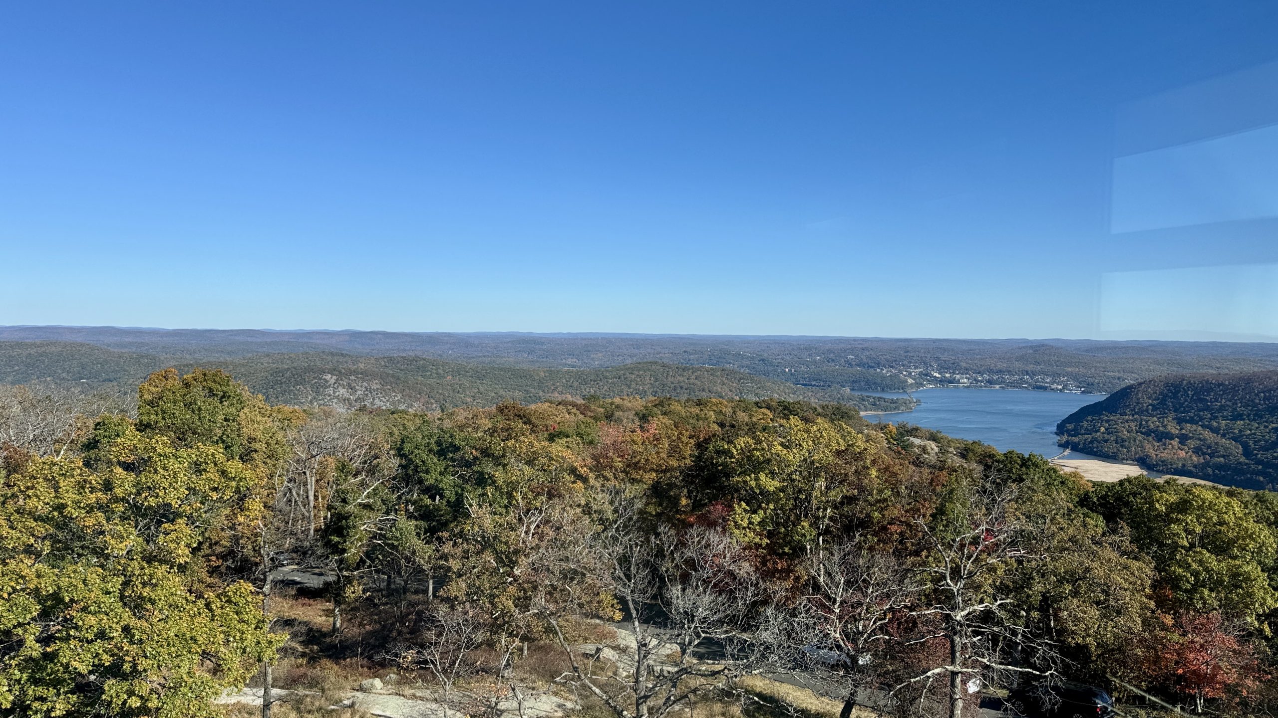
View from the Perkins Memorial Tower.
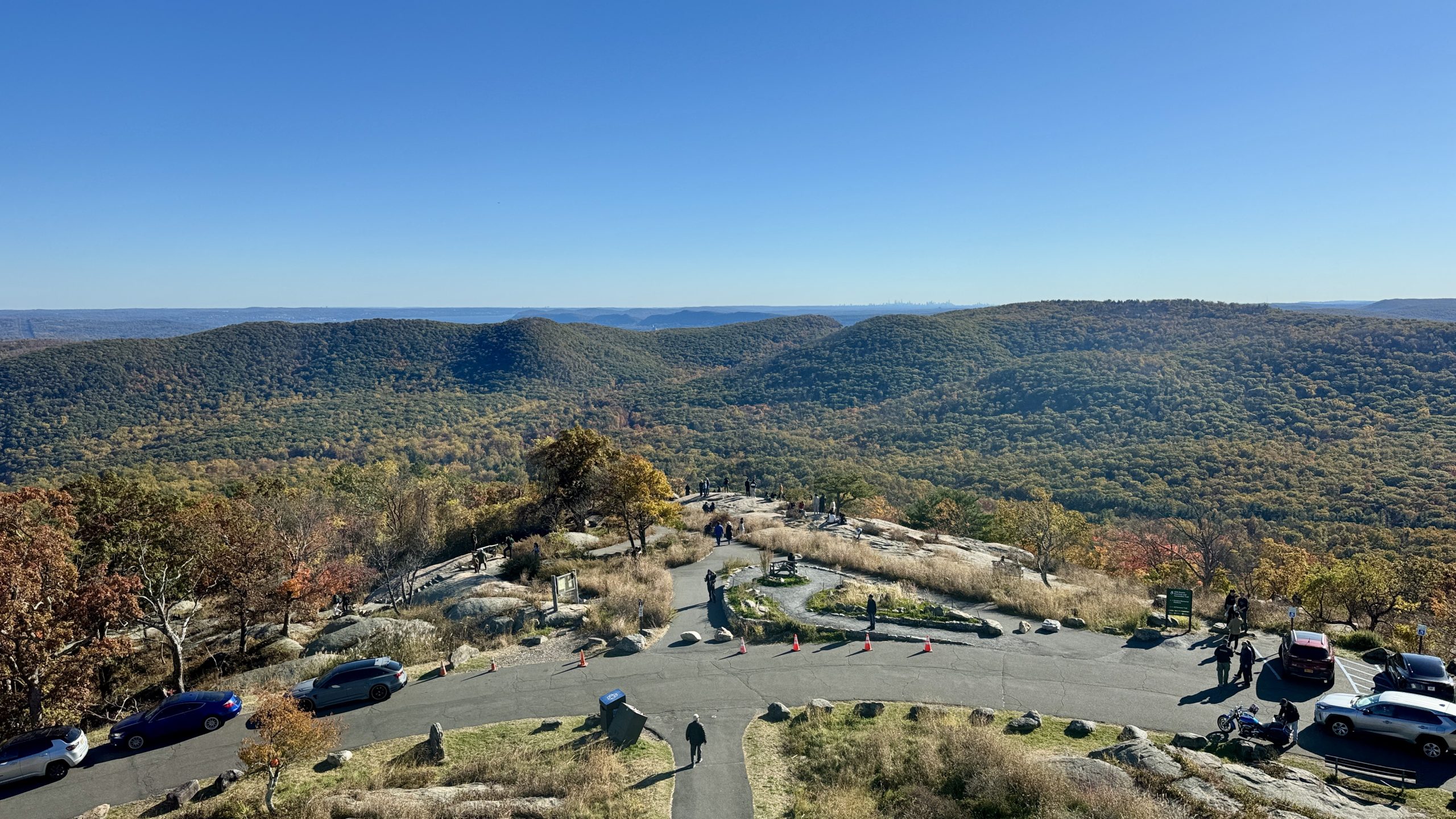
View from the Perkins Memorial Tower.
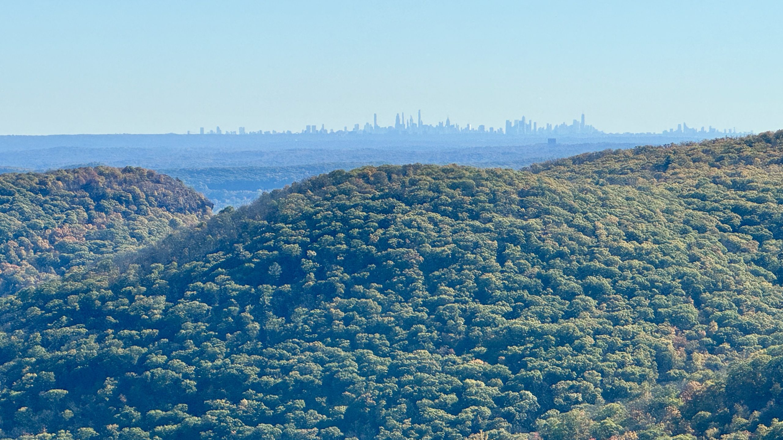
The New York City skyline as seen from the Perkins Memorial Tower.
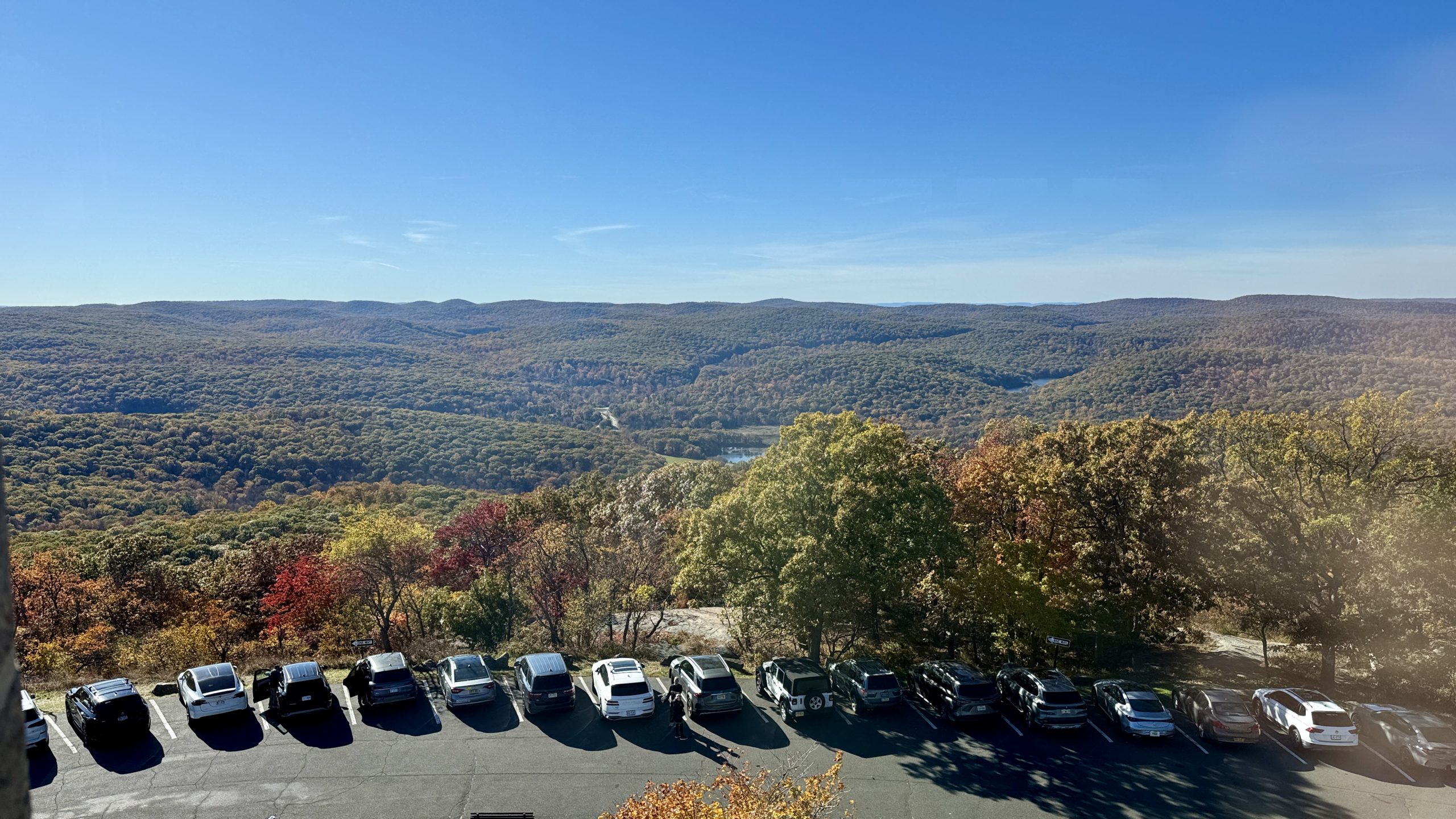
View from the Perkins Memorial Tower.
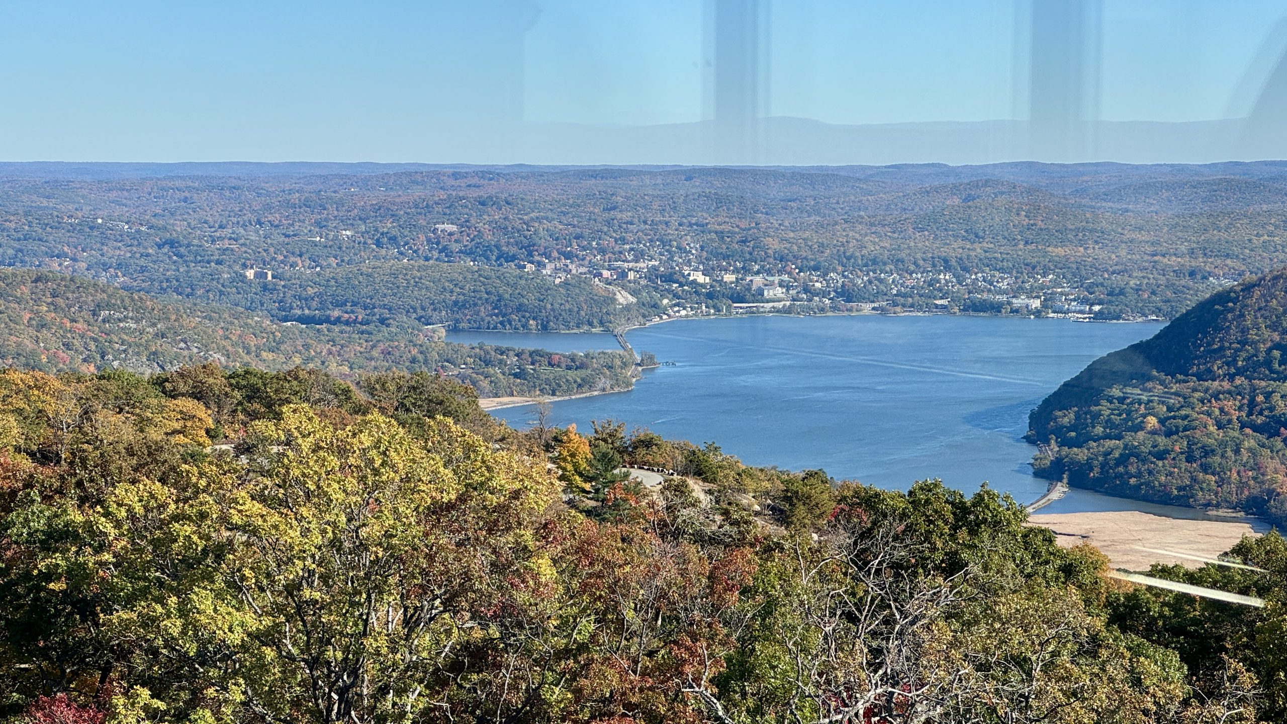
View from the Perkins Memorial Tower.
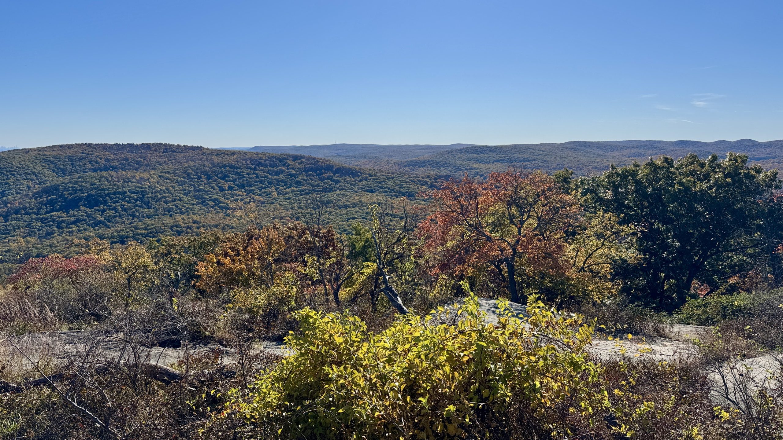
View from the Bear Mountain summit.
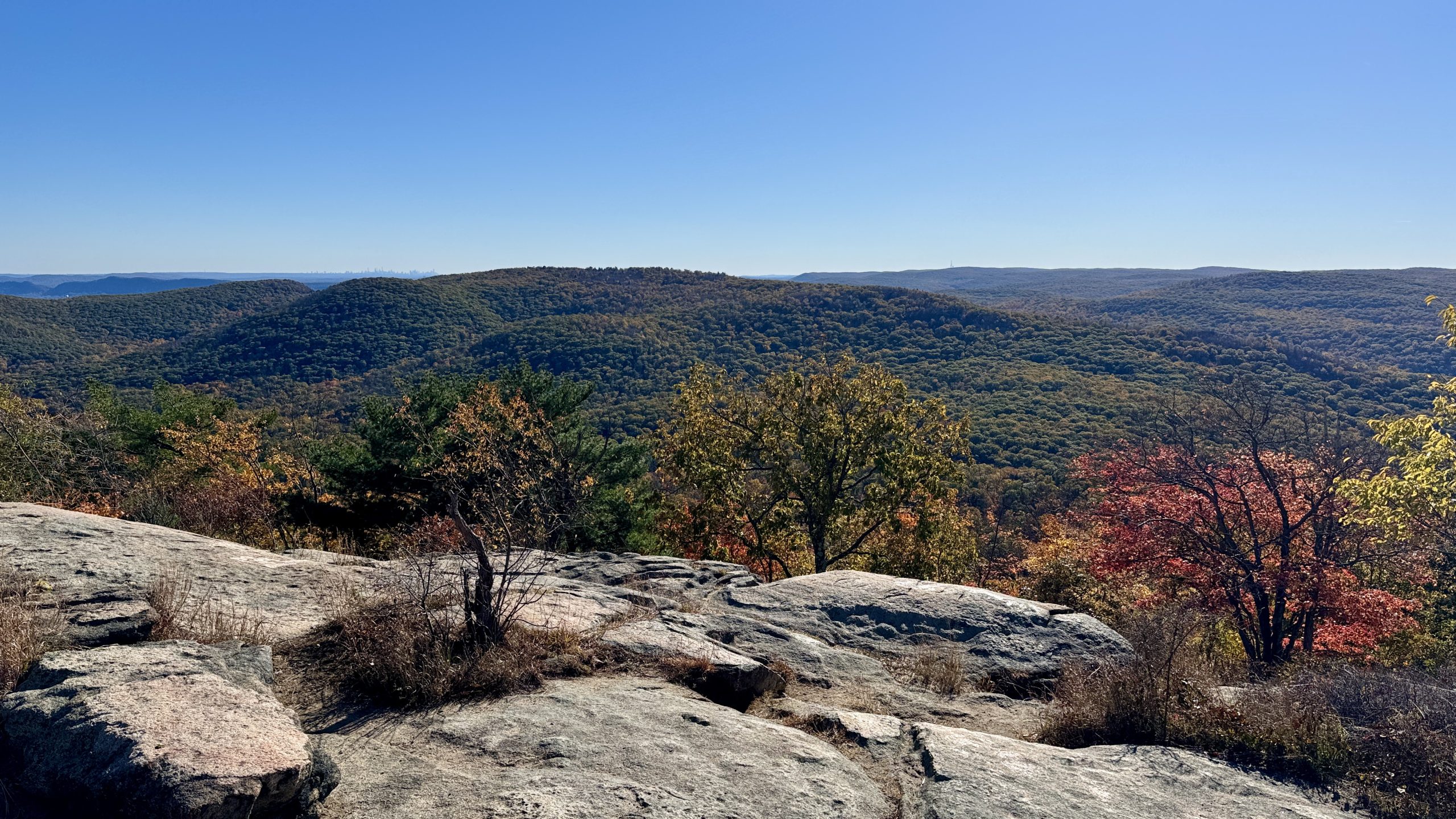
View from the Bear Mountain summit.
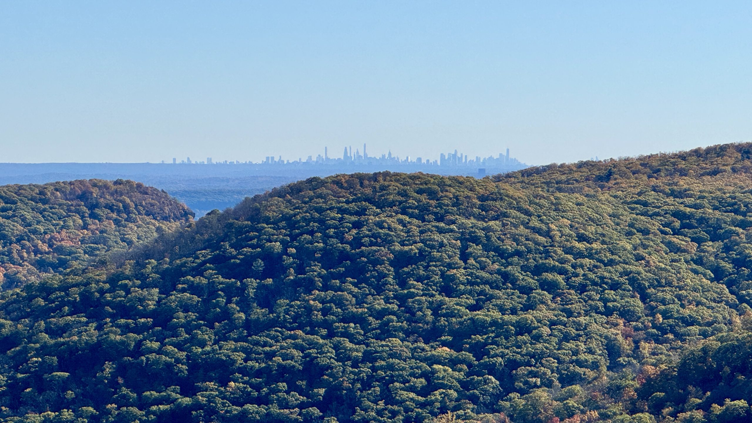
View of the New York City skyline from the Bear Mountain summit.
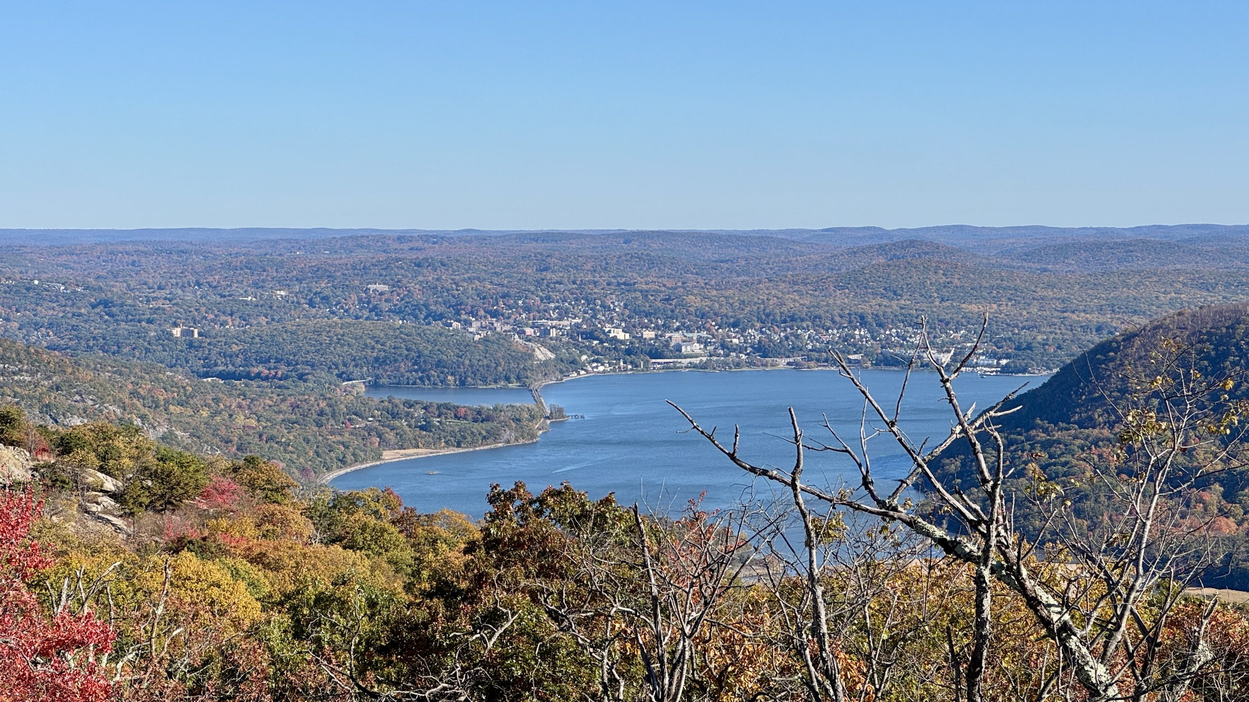
View from the Bear Mountain summit.
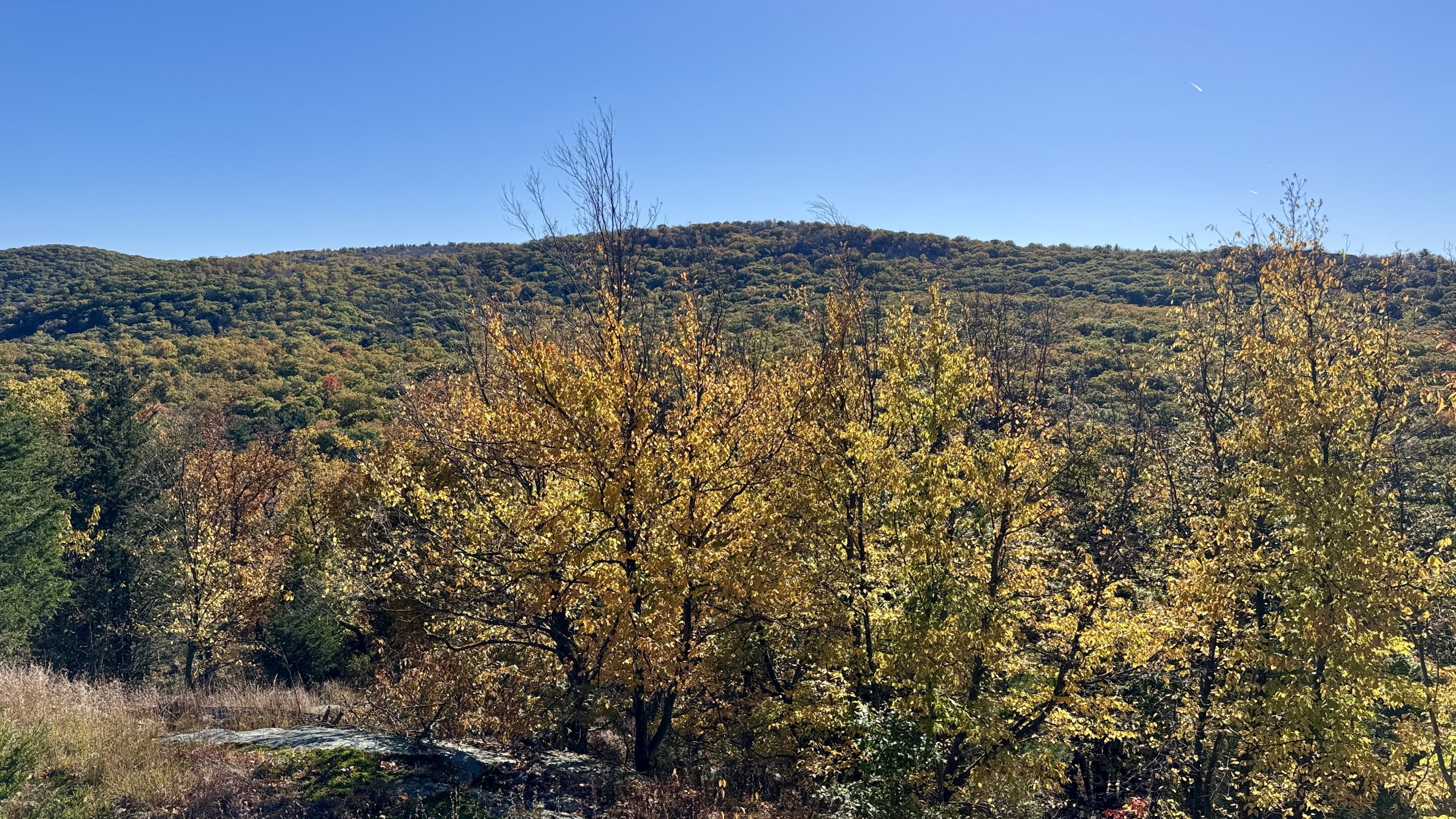
View from the trail from below the Bear Mountain summit.
Black Mountain And The William Brien Memorial Shelter
I had to make a quick exit to get more miles in. I descended Bear Mountain to the Palisades Parkway, crossing over the highway on an on-ramp. From there the trail heads up Black Mountain, breaching the 1,400 mile marker in the process. I couldn’t find an existing market so I gathered up some acorns and created one, not an easy task on the uneven rock I decided to build it on. Several viewpoints on Black Mountain provided a look at the New York City skyline and the sun, which was making a descent of its own at an increasing rate. At just about the exact moment of sunset I reached the William Brien Memorial Shelter. I located the shelter well to collect some water and found a spot to pitch my tent. The temperature was dropping swiftly, a sign that it would be another tough start to the day tomorrow. Maybe the sun would decide to get an early start?
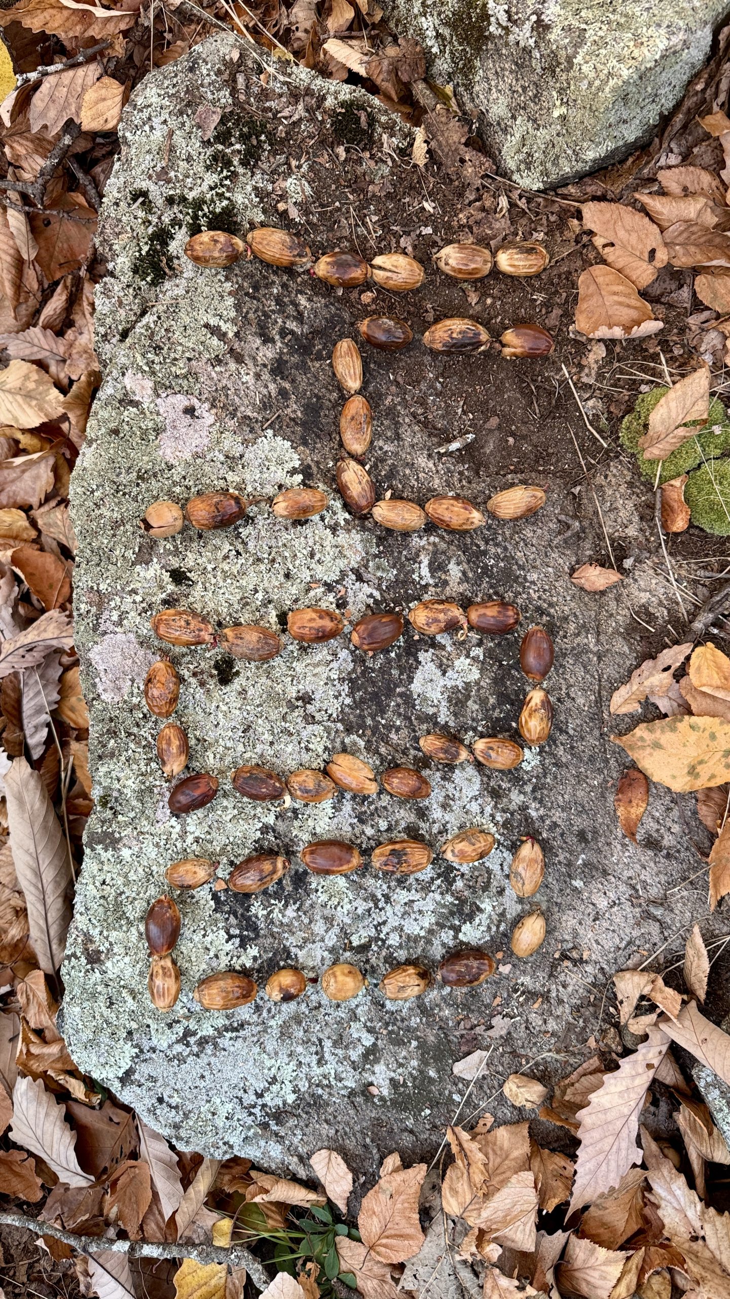
The 1,400 mile marker just below the summit of Black Mountain.
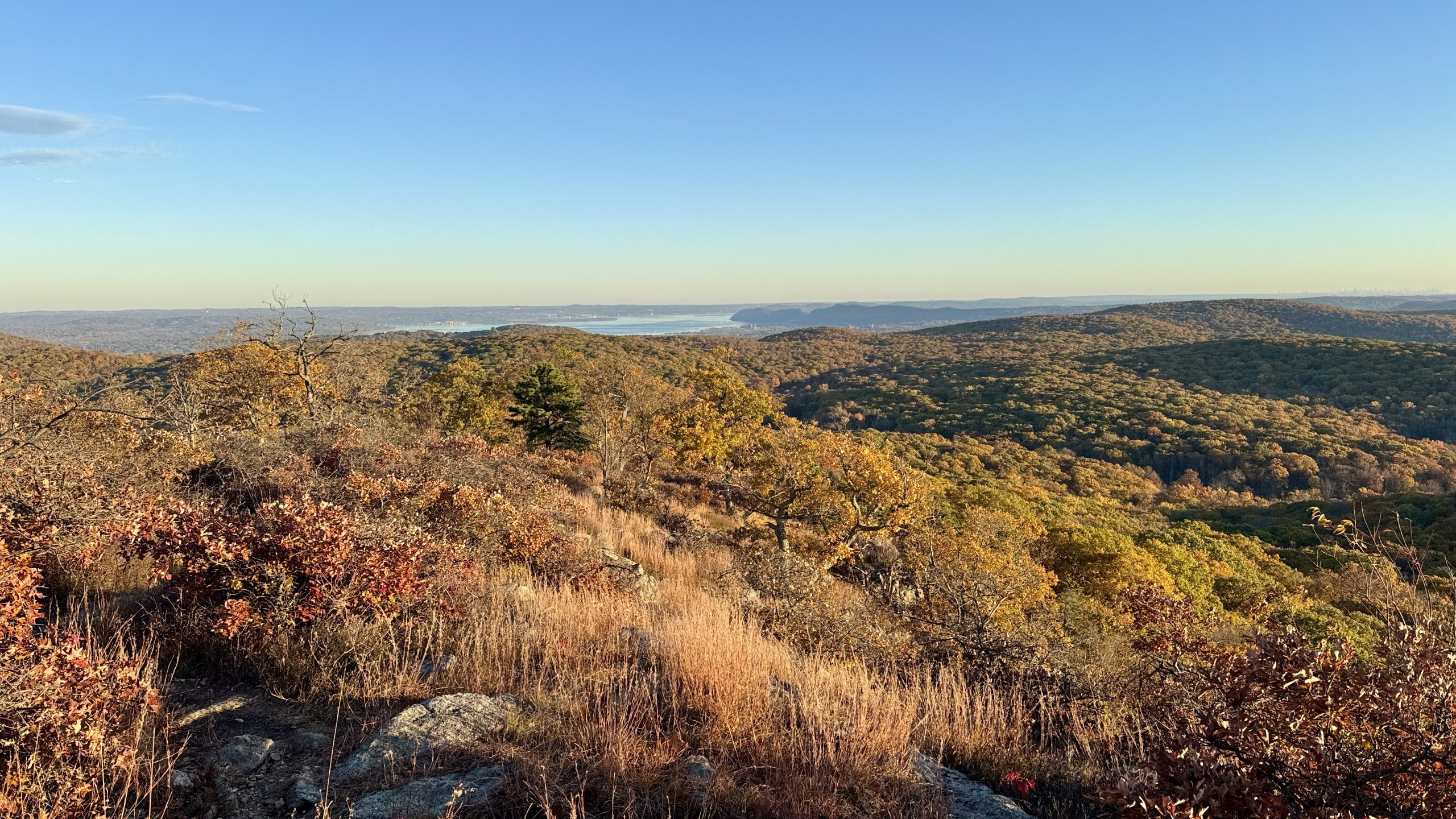
Looking at the Hudson River from Black Mountain.
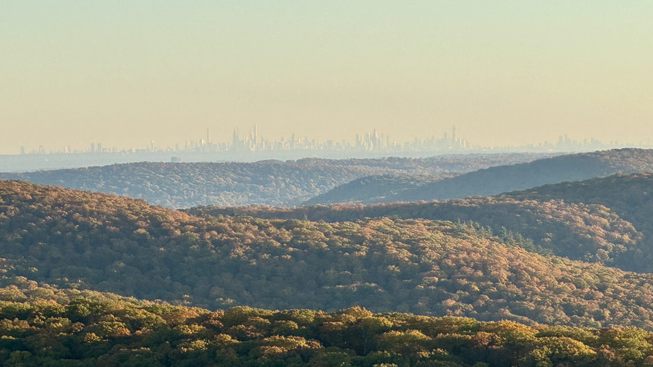
The New York City skyline from Black Mountain.
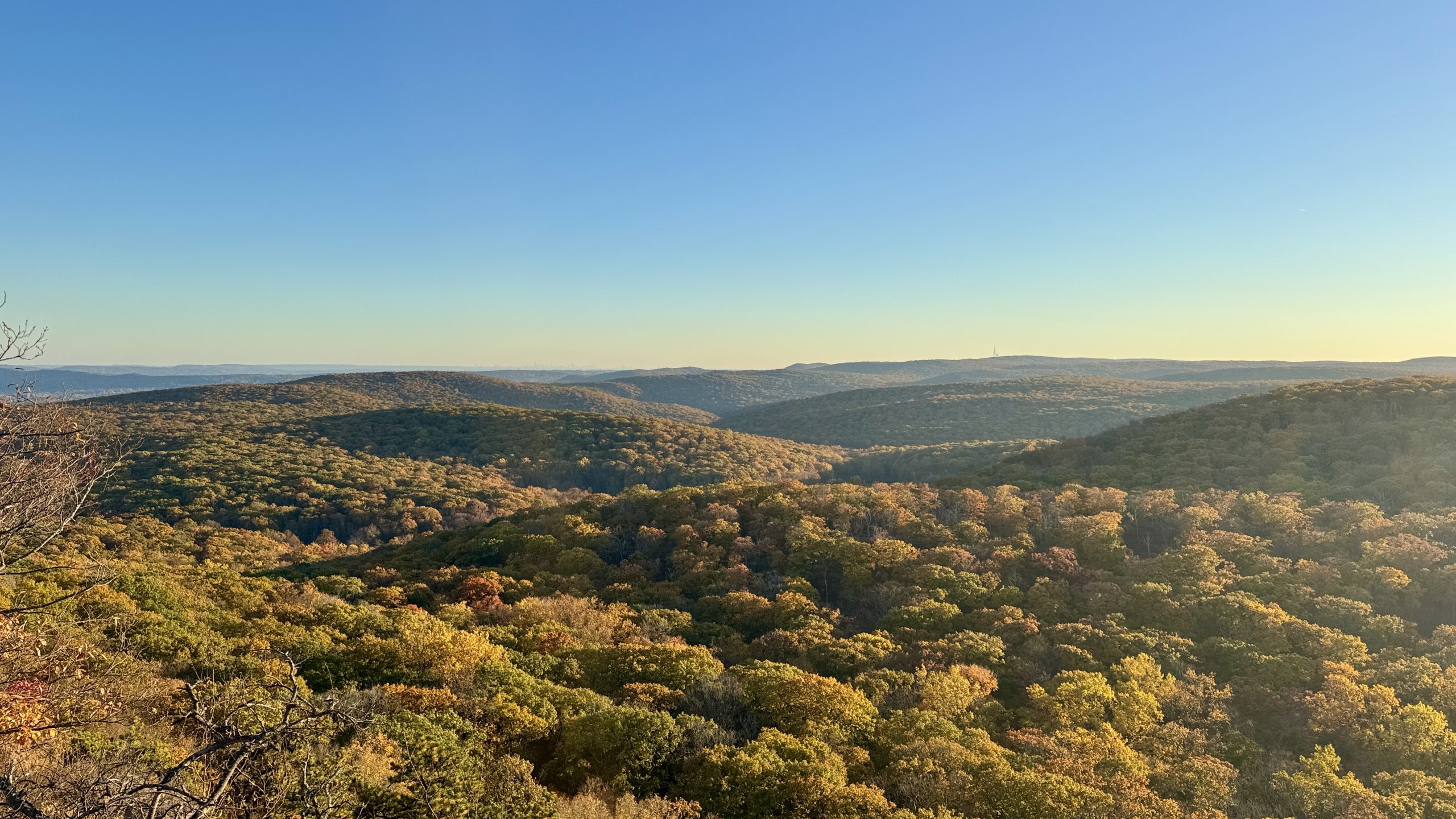
The view from Black Mountain.
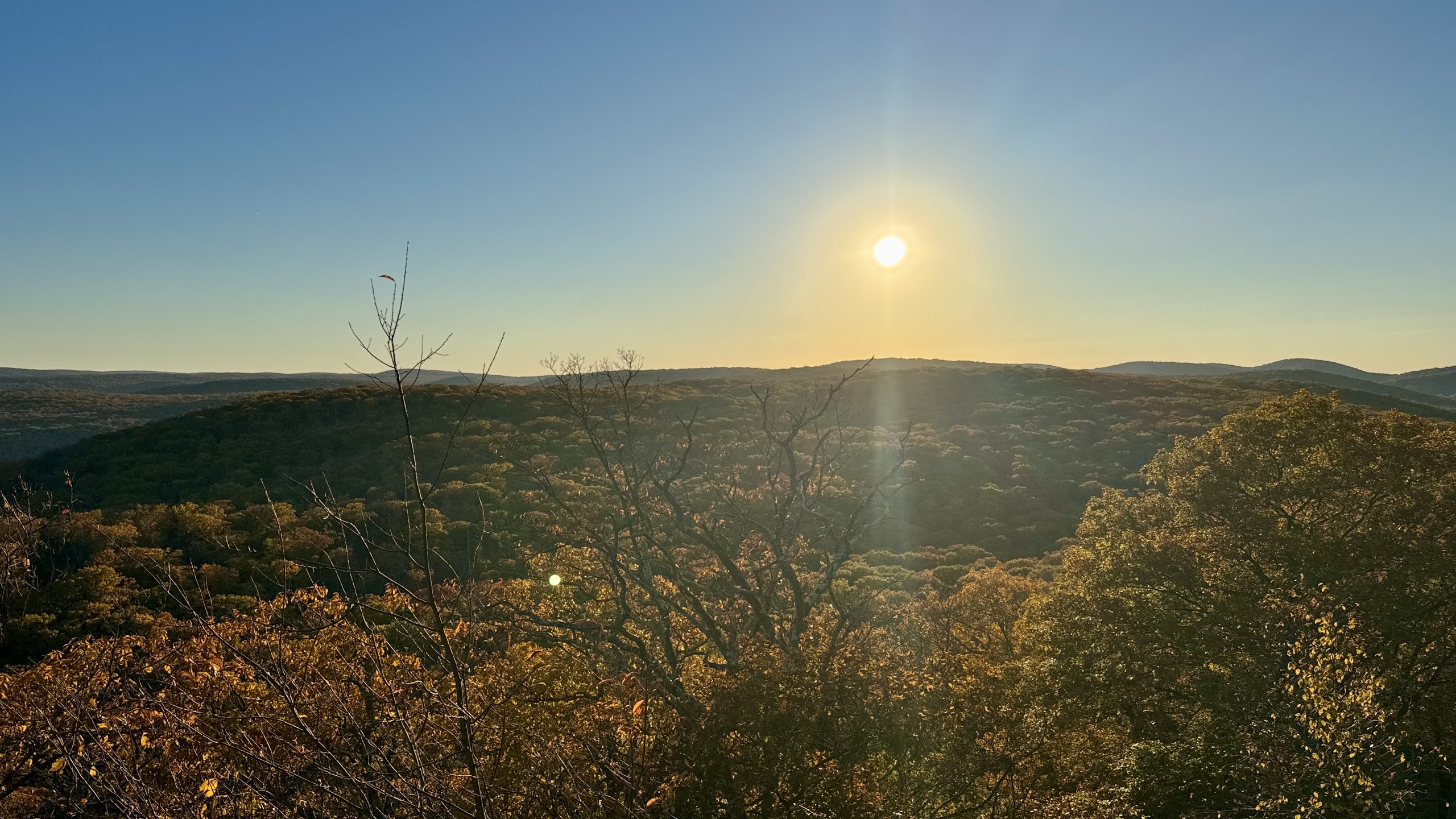
The sun descends due west from Black Mountain.
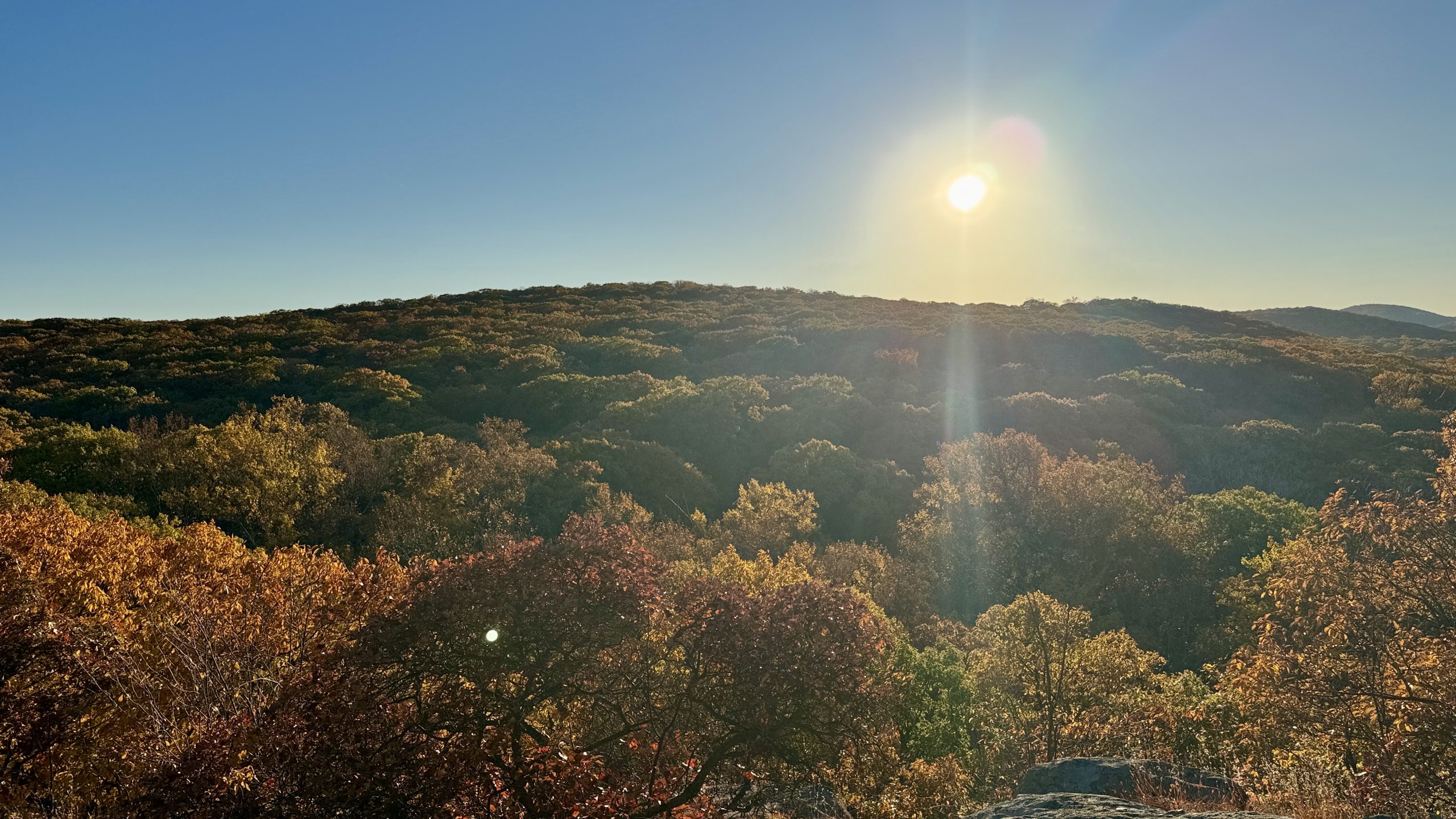
The sun descends due west from Black Mountain.
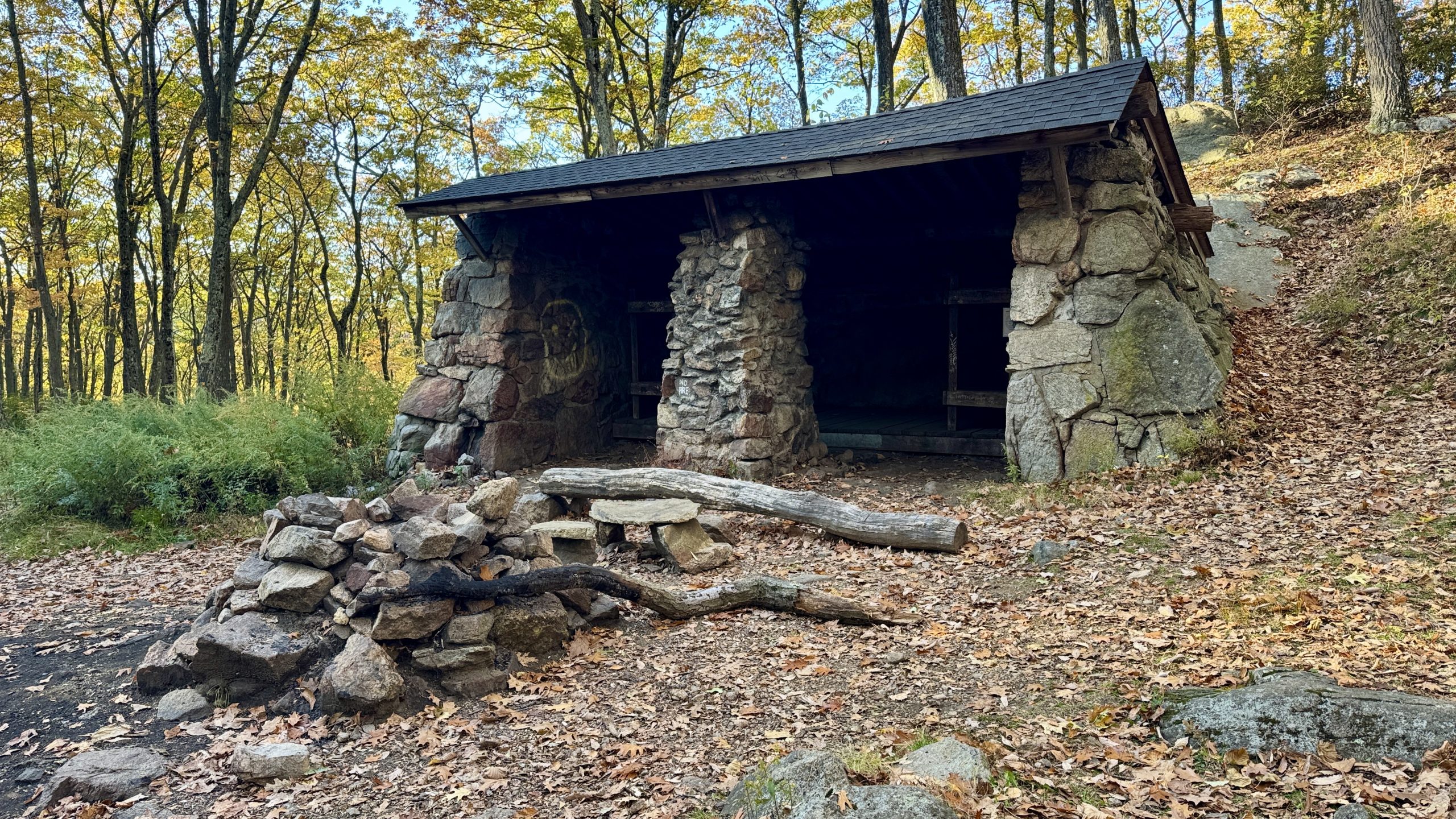
The William Brien Memorial Shelter.
-See You Tomorrow
| Leg | Start | Mile | End | Mile | Ascent | Descent | Direction |
|---|---|---|---|---|---|---|---|
| 1 | Dennytown Road | 1,424.3 | William Brien Mem Shelter | 1,398.4 | 5,712 | 5,482 | SOBO |
Total: 25.9 miles, 54,222 steps
- Type of hiking: Backpacking
- Camp: Tent, William Brien Memorial Shelter

This website contains affiliate links, which means The Trek may receive a percentage of any product or service you purchase using the links in the articles or advertisements. The buyer pays the same price as they would otherwise, and your purchase helps to support The Trek's ongoing goal to serve you quality backpacking advice and information. Thanks for your support!
To learn more, please visit the About This Site page.

Comments 1
Buy you an ice cream at the Creamery. Let me know when.
Good luck