 ">
">
Nice Surprises Found in Final Prep
 Made it to Unicoi Gap, mile 52.9, five days into the hike. Started March 21 with snow on Springer. Weather today was ideal!
But I want to back up and tell about a couple of nice things discovered in the final preparations.
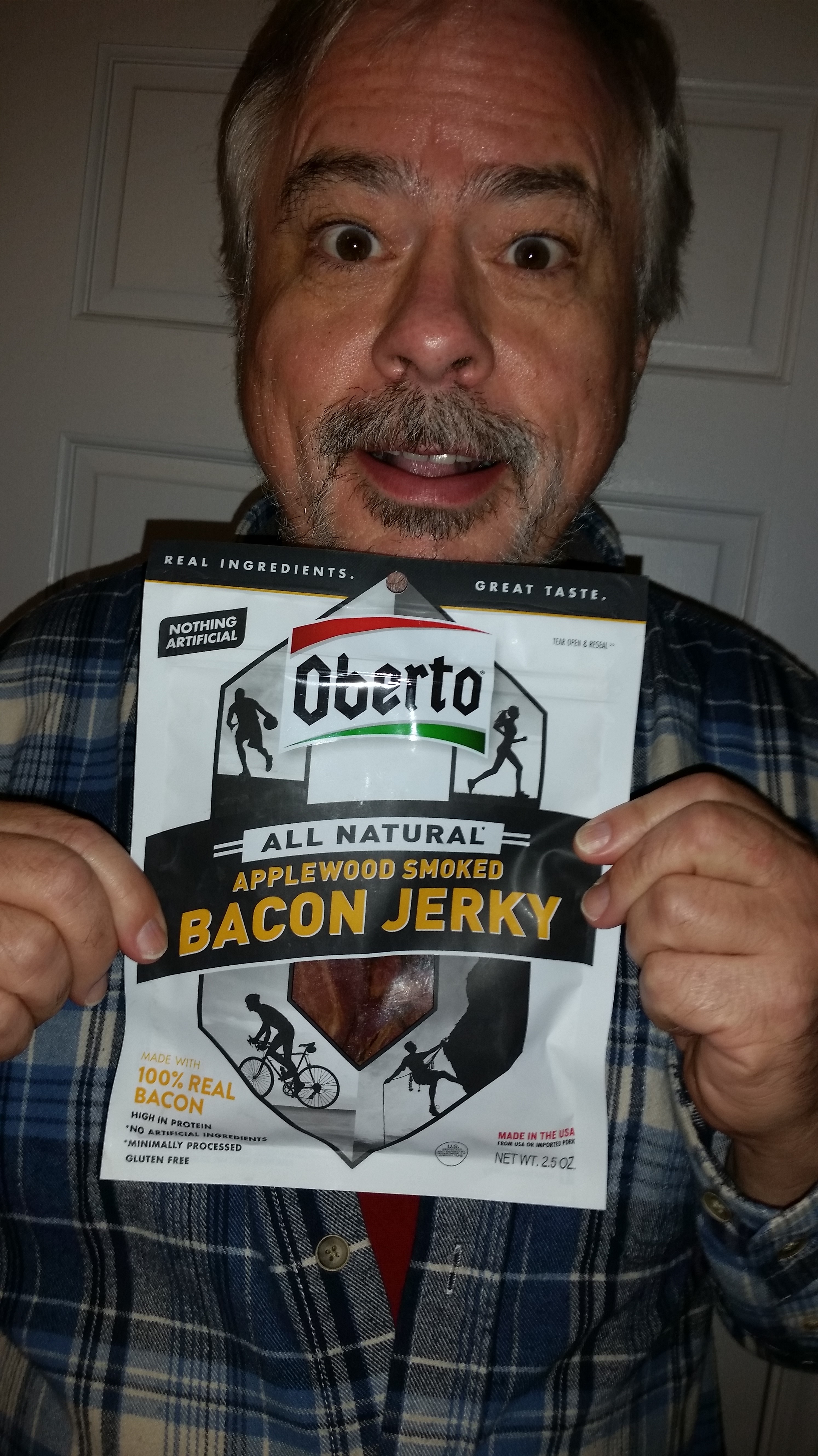
FIRST, while Amazoning backpack food, I found something that I don’t remember from previous years. Bacon jerky! I sent off for several, so my wife could bring it along and resupply me. But going through resupply stops out here I find it everywhere, even if grocery stores and truck stops. I know its only jerky. But its bacon!!
SECOND, Guthook’s AT App has been updated with 2016 information, and a new interface. I used it in 2015 on two section hikes, and it worked great. The new one is even better. But the download erases the old app, and installs all new maps, pics, data points, etc. So if you plan on using it, update it with fast wifi, as it will eat up data. I plan to carry a few pages at a time of AWOL’s guide as a backup, but won’t look at it unless my phone dies. Knowing where you are, distances, etc, is just great. The other thing I discovered while planning for my wife’s locations with the RV as she follows along is that the AT is on Google Maps. I remember about 8 years ago meeting a guy in the middle of the 100 Mile Wilderness with GPS backpack and a cone thing on his head. Guess that’s what he was doing. As far as I can tell, the whole trail is on there. This doesn’t give near the information that Guthook does, but it would help if you find yourself on a blue blaze trail, and wonder where you are in relation to the AT. Just opening Google Maps will tell you. If you pull too far “out” or “up” for a larger view, the AT disappears. You have to be in close. But it is a nice feature. Doesn’t tell you how far you are to shelters, although you can finagle it to let you know how far to the next road crossing.
THIRD, AWOL’s AT Guide in PDF form looks exactly the same as the print version. It also fits in your Phone. Nice thing is that trail heads almost always have GPS figures, and in PDF form they are blue links. Tap it, and Google or iMaps opens up, and takes you to the trailhead. Nice.
FOURTH, conditioning in Indiana for the through hike was challenging due to snow cover. My usual route in a nice, old growth woods was impassable. So off I went to Planet Fitness, and hours on their stairstepper and treadmill. Boring. They had TVs, but daytime programming is awful. And I could only watch so much election coverage on CNN and Fox News before I wanted to go into the woods forever, snow or no snow. So I found Youtube videos, a good wifi connection at PF, and I instead would spend a couple hours through hiking the PCT, the CDT, the high Sierra Loop, and the Arizona Trail (AZT, which I think I’ll do in 2017) and, of course, the AT. Almost felt like hiking. And I discovered Bill Woods, aka Redbeard, who has posted his whole AT hike in a series of videos. Very nicely done. Thanks, Bill, for keeping me from heading into the woods in a snow storm to get away from election news.
Next, I’ll post some reflections on the through hike.
Dave Michel, aka Pitchit

This website contains affiliate links, which means The Trek may receive a percentage of any product or service you purchase using the links in the articles or advertisements. The buyer pays the same price as they would otherwise, and your purchase helps to support The Trek's ongoing goal to serve you quality backpacking advice and information. Thanks for your support!
To learn more, please visit the About This Site page.

Comments 3
Like the detailed info. I am also planning a thru hike but my wife will do the trsil with me while brother in law supports us in the RV. I was wondering if an RV can make it to the trail heads (access roads) and if so are there any size limitations. Would love to see some photos of the rv on access roads and resuplying you.
We use guthook to evaluate roads. Many forest service roads can’t handle rv. Most, but not all paved roads, can. RV goes for rv park to rv park, tow car. Car goes for pickups. We have 28 foot class c Jayco greyhawk
Dave,
Just found a way to check in on you during the hike. Exciting. I hope all is going well, it seems that you
took the training seriously this winter. I am sure it is paying off. Glad you found the bacon jerky. I could only find some grasshopper based bacon flavored jerky stuff, but I am sure your jerky is the real pork 🙂
Stay safe!
Rex Maddy