 ">
">
Pennsylvania- Part 3
Day 21- A Zero Day in Hamburg
People are always telling us to “be safe out there”. Ironically, today’s zero day was probably the most dangerous day of our journey thus far. We walked through the environment depicted in the image below in order to shop at Cabelas, Aldi, and Walmart.
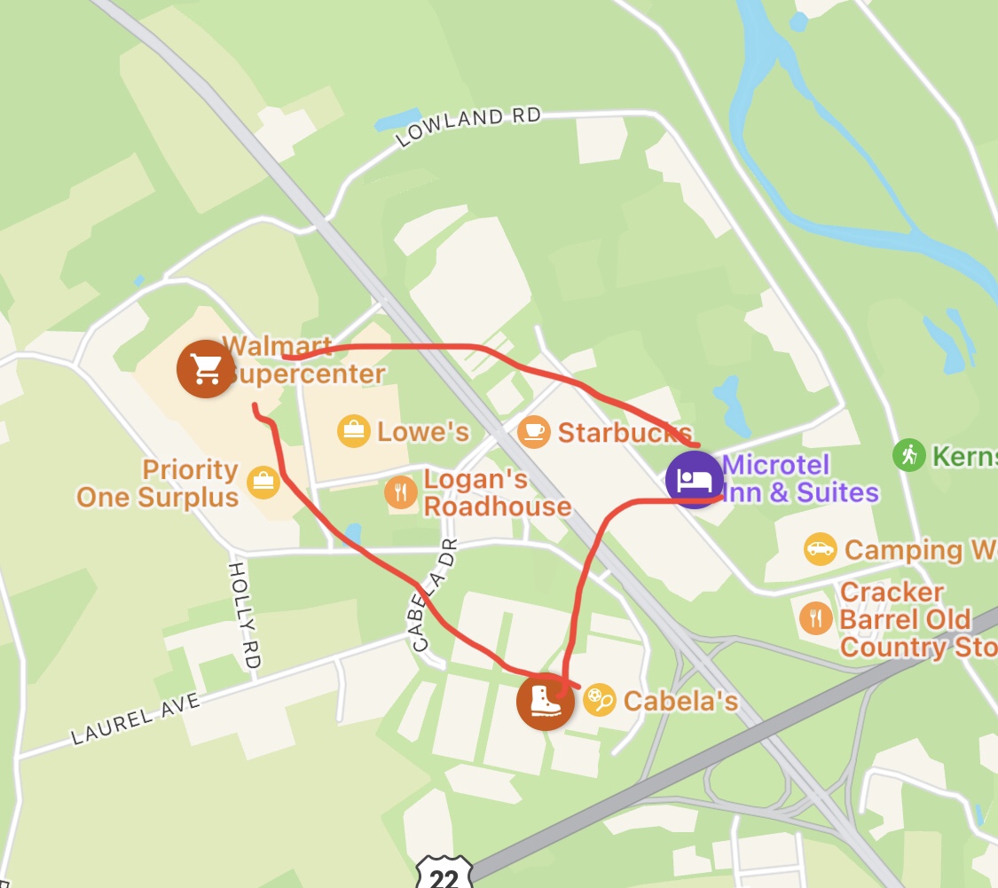
Not only was the experience dangerous, it was most unpleasant and undignified. I am not usually inclined to undertake a sporting event in order to support a cause, but if I could elevate one cause in the course of this hike it would be to Make America Walkable Again. I’m not planning to embroider this acronym on a red ball cap, but it would be a wonderful thing if the planners of our modern world considered the pedestrian experience beyond the path from the parking lot to the building entry.
Day 22 – Port Clinton to Dispersed Tent Site
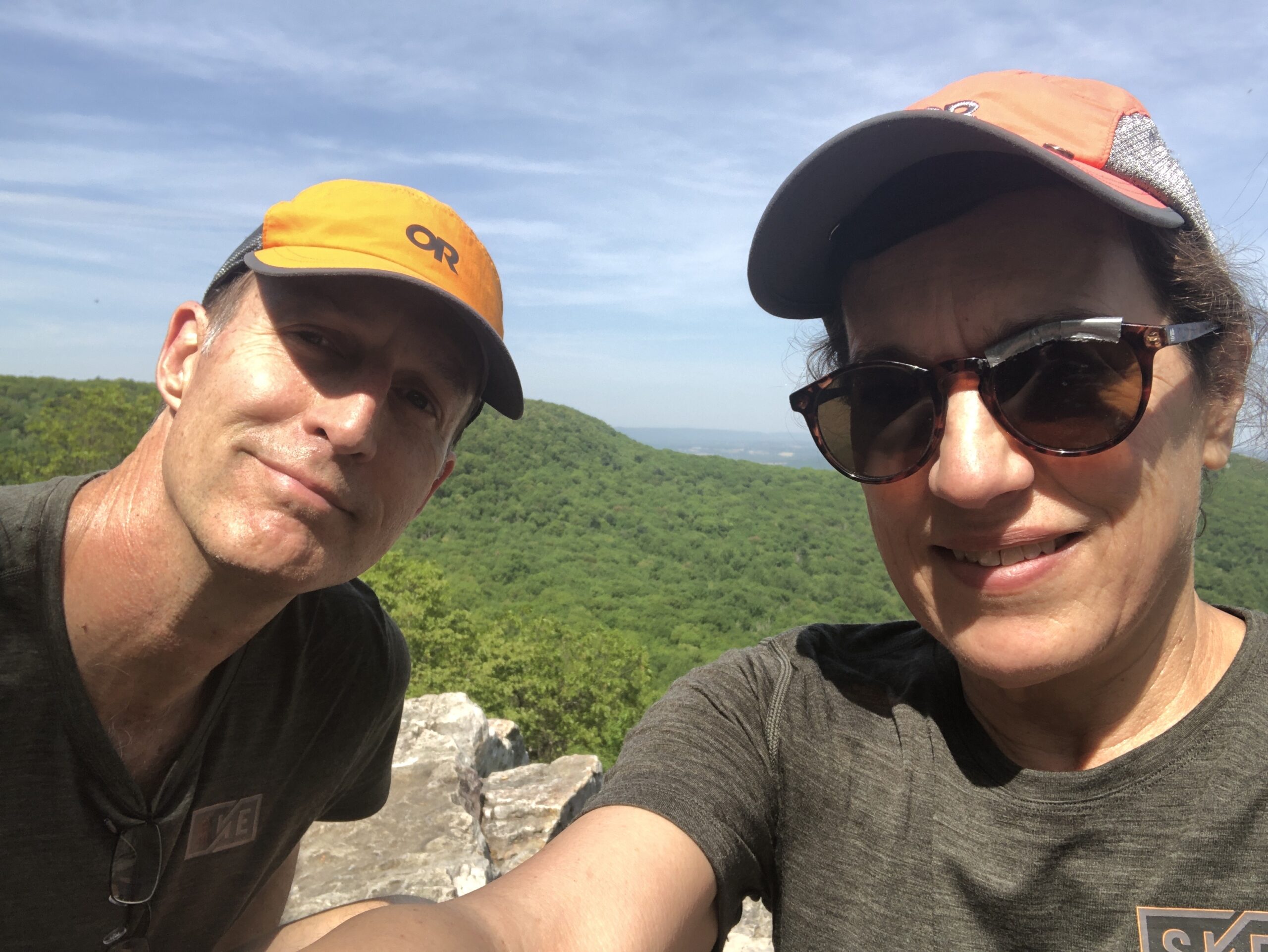
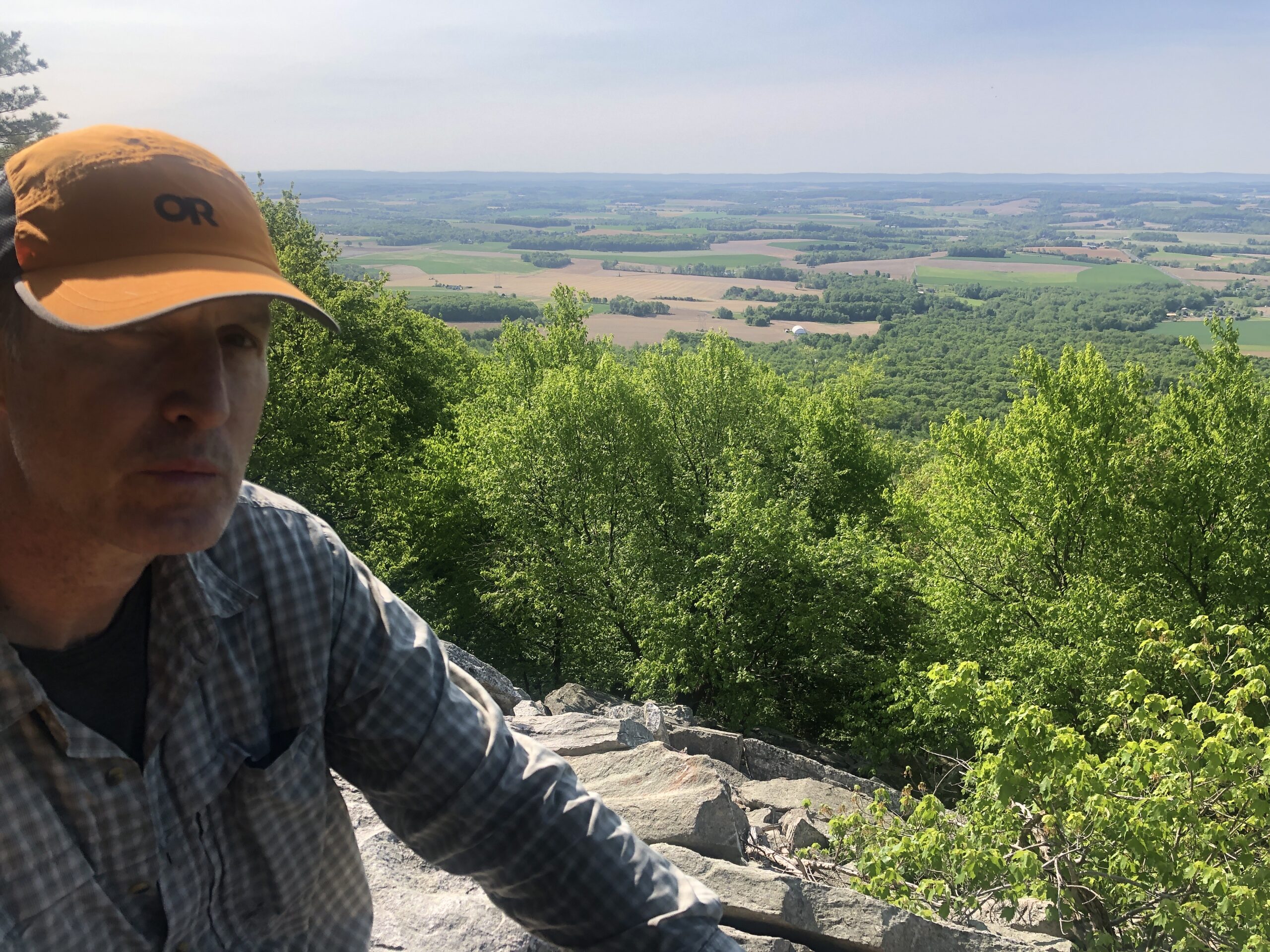
We got a later than usual start because we rode the free shuttle from Cabelas in Hamburg back to Port Clinton. We had perfect weather for our 13 mile day and felt well-rested and ready to go. We were also well stocked with several day’s worth of food. Thanks to a tip from Dozer, I prepared a bagful of 8 peanut butter and jam on tortillas at the hotel. These were great for lunch, and fueled us up the mountain to two spectacular overlooks – The Pulpit and The Pinnacle. Surrounded by large, rectangular rock slabs stacked like thick waffles, we sat and looked southeast across a wavy patchwork of farm fields. Overhead, dozens of buzzards and an eagle rode thermals like hang gliders.
As the long day came to a close, we had the trail to ourselves. We figured our fellow hiker friends were well ahead of us since we had taken the previous day off. We settled into a dispersed campsite, also all to ourselves.
Day 23 – Dispersed Campsite to The Lookout Hostel
After breaking camp, our first stop was to get water. This is where we ran into The Alchemist and Flying Camel. We originally met these fellow Pennsylvanians outside of the Hamburg Walmart, where we watched them discard the packaging from their enormous food haul in order to load it into their packs. We continued to bump into each other as the day progressed, at Dan’s Pulpit and Balance Rocks.

Today’s walk, another 13 miler, was short on water and long on rocks. A friendly former through-hiker distributed Cokes, bananas, and mandarins at a road crossing towards the end of the day. Half a Coke was more than enough for me. As a bonus, they even took the trash.

By 5:00 our feet were beat up, and we were thrilled to be at The Lookout Hostel. We were pleased to reconnect with The Alchemist and Flying Camel, along with Blackbird, who arrived a bit later.
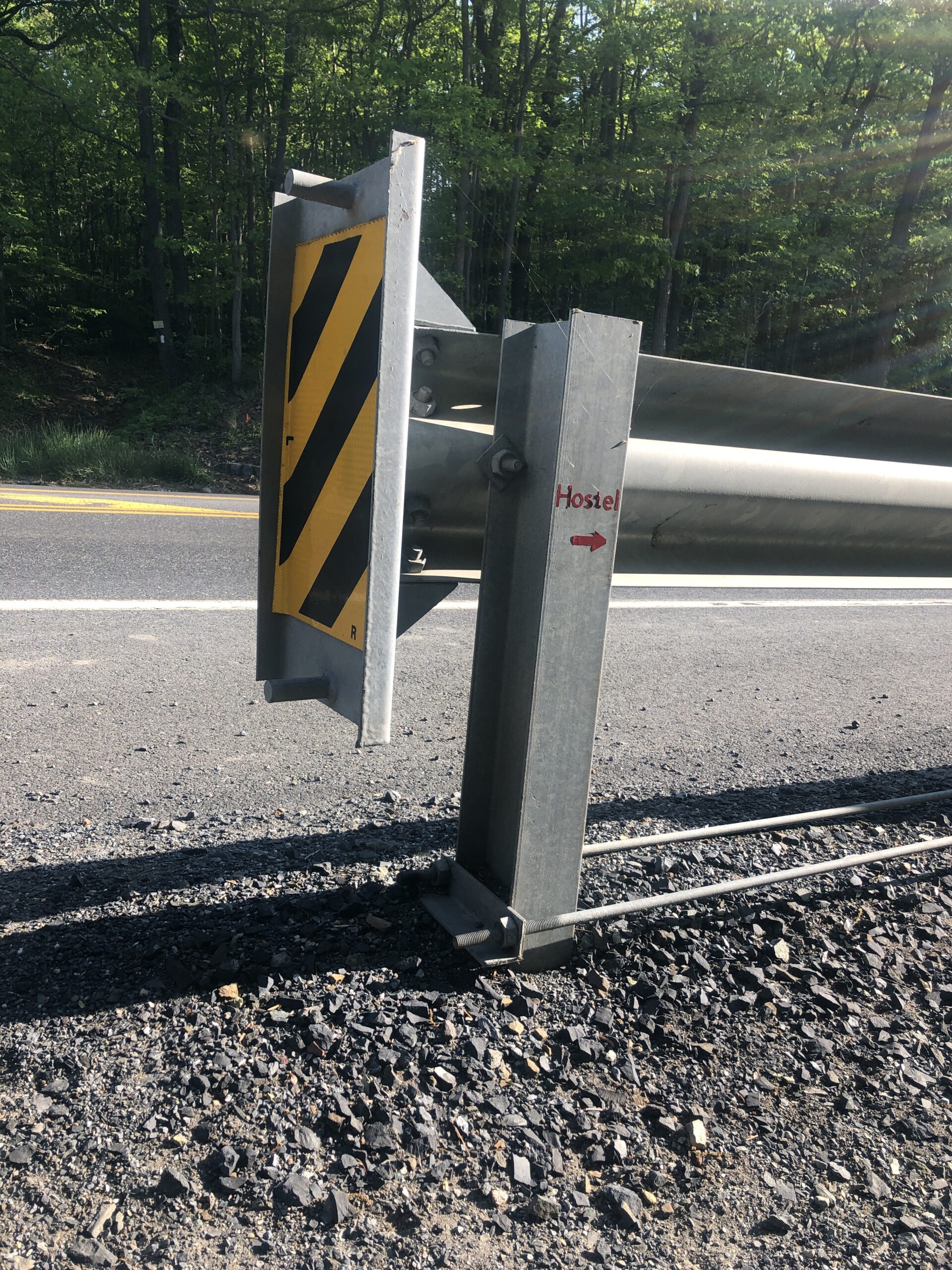
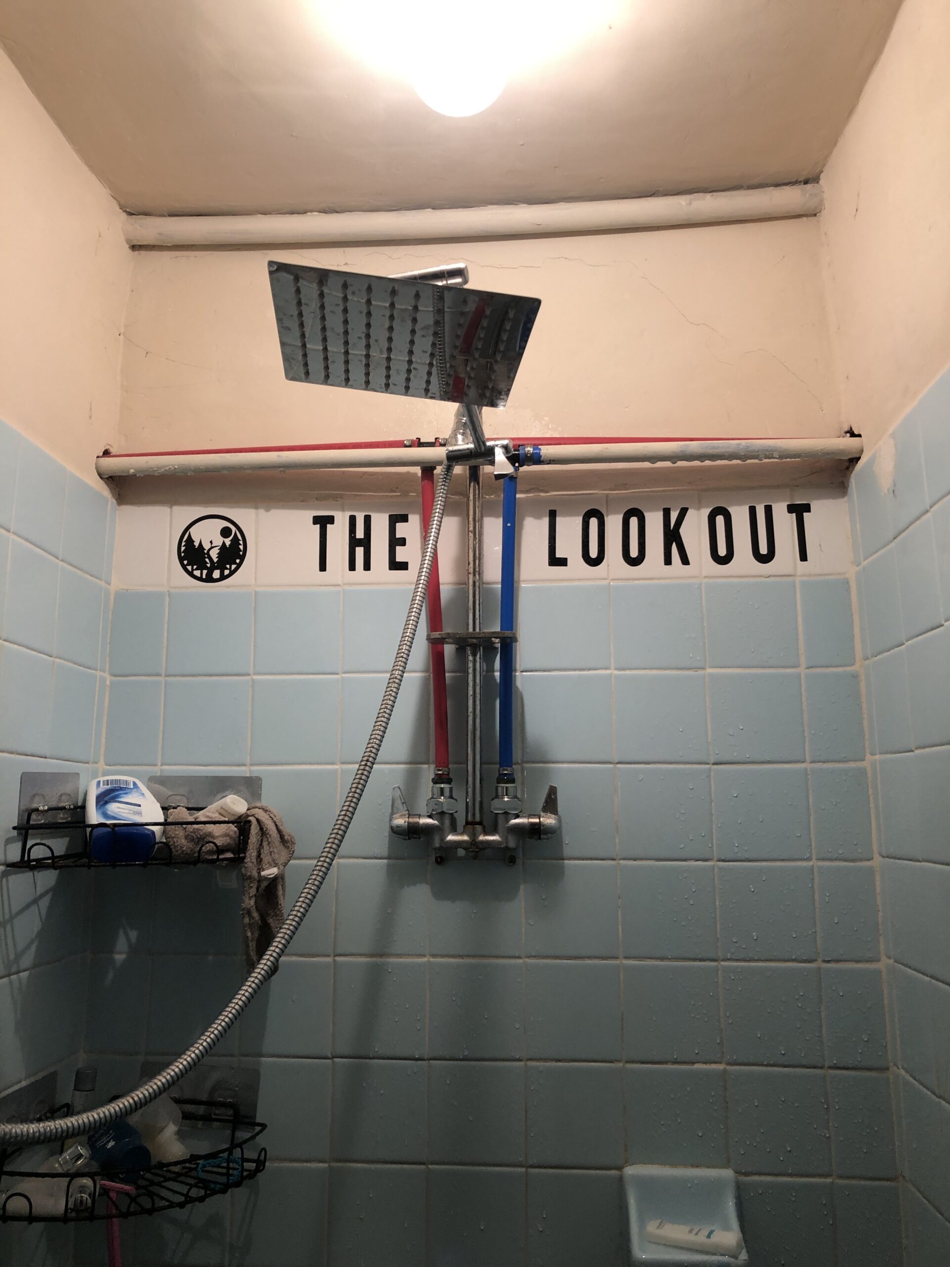
The Lookout had a tremendous view and felt more like someone’s home that was being loaned to us than the typical hiker hostel (which we have so far avoided). Its owner and creator, a local section hiker named Yardsale, was welcoming, generous, and knowledgeable. She stocked the kitchen with food and the bathroom with homey things like soft towels, q-tips, and nail polish. I especially enjoyed the steaming hot shower from a rain head fixture, something we haven’t encountered even in the nicest hotel.

My only regret was that after dinner Kevin discovered my brand new chapstick went through the washer and dryer, depleting the chapstick and leaving blotchy deposits on our clothes. I tried to wash the spots out by hand before going to bed. Our clothes might not always be the cleanest, but we don’t want stains on top of it all.
Day 24 – The Lookout Hostel to George Outerbridge Shelter
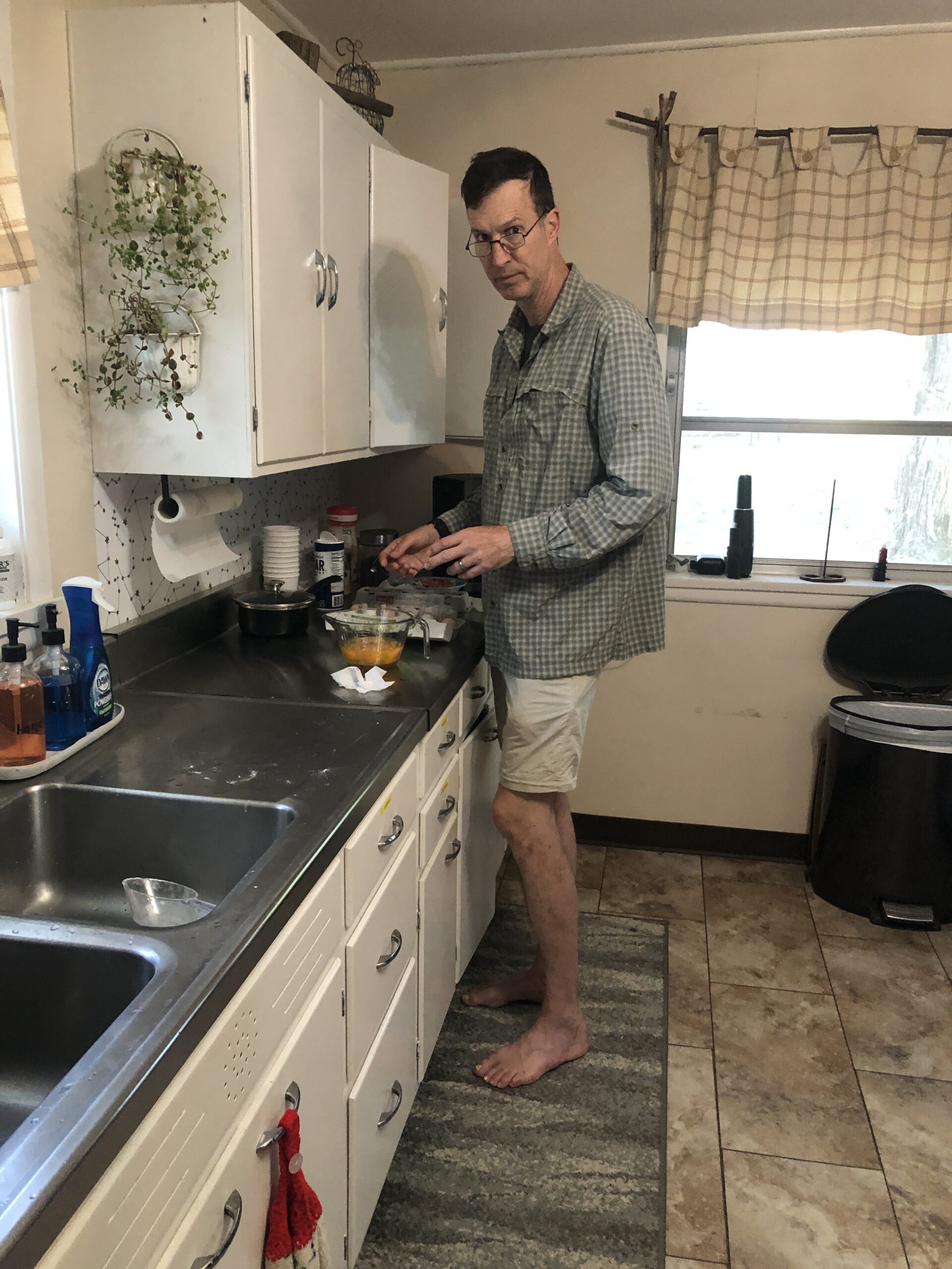
The amenities at The Lookout continued as we began the day by making blueberry pancakes, eggs, and coffee for the 5 of us. We all ate around a dining table, and even used napkins and placemats. After many thanks to Yardsale, we headed out.
Today was our longest day yet, and it began with an adventurous section of vertical ridge rock called the Knife’s Edge. Shortly after that we came across a giant rock scramble called Bear Rocks. We couldn’t not do it, so we left our packs and poles and scampered hand and foot to the top. It was a nice change of pace from walking, and yielded an almost 360 degree view of the surrounding countryside. Yesterday’s manicure took a beating, though.

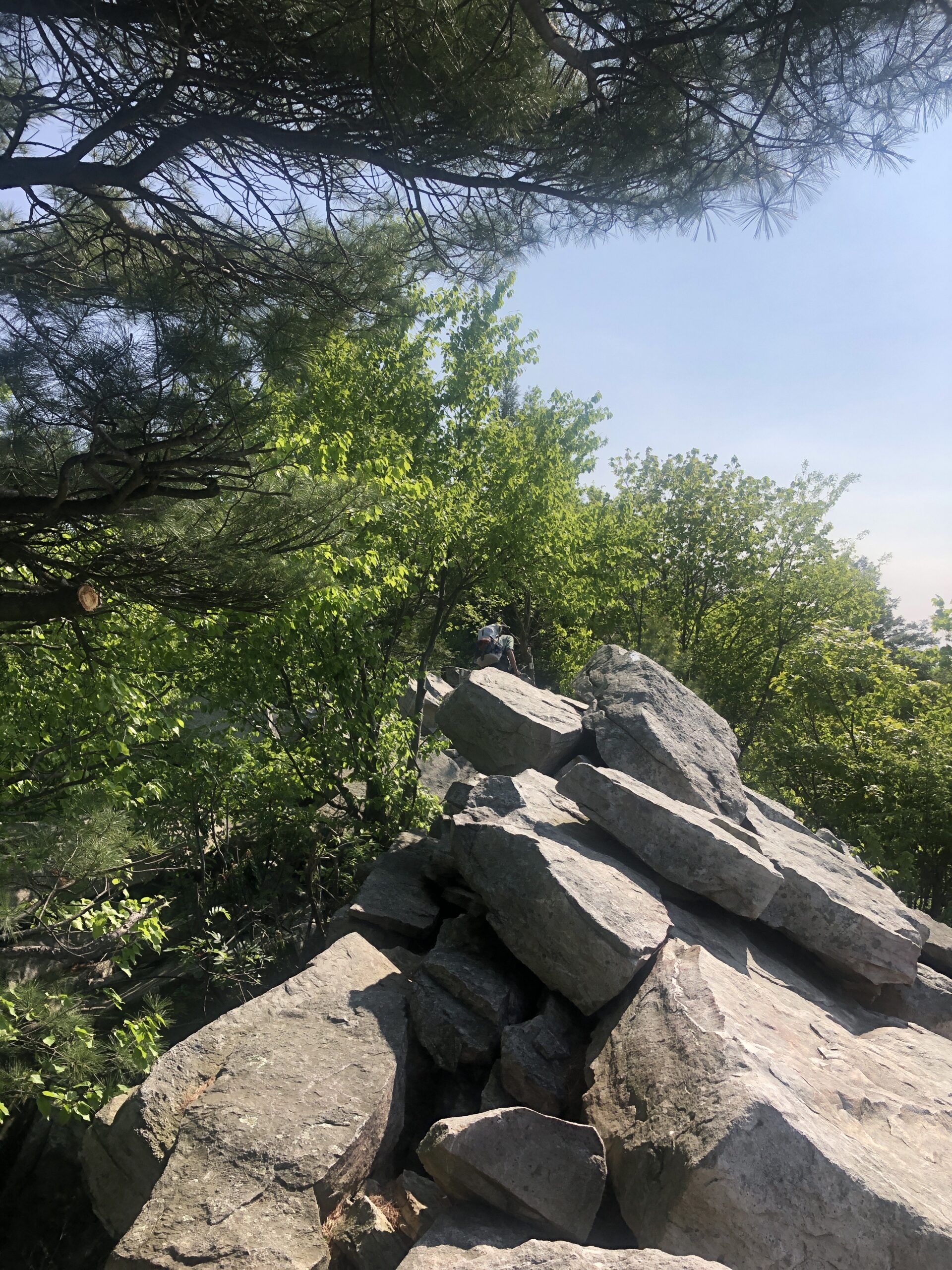
Rock scrambles like the Knife’s Edge and Bear Rocks are fun, relatively easy, and very rewarding. By contrast, the miles of rock strewn terrain are painful drudgery.
Around 5:00 we arrived at the George Outerbridge Shelter just outside of Palmerton, only to conclude it was too small and dank to sleep in. Unfortunately there were no decent tent sites around the shelter due to the steep, rocky terrain, and the few sites further down the trail were surrounded by dead trees.
We considered walking into Palmerton, but that was another 1.5 miles and the only lodging around was a sketchy bunkhouse over a restaurant. Where to sleep? Eventually we found a suitable scrap of ground on a small trail extension off of a lousy tent site. We modified the ground to create a more level surface and to barely avoid a sharp upright root. We managed to get it done, but it was one of those situations that gives camping a bad name.

Day 25 – George Outerbridge Shelter to Blue Mountain Road
Before we could tackle the big climb out of Palmerton, we first had to walk alongside the eroded shoulder of Route 145/248 and then cross both roads where they split. It was a harrowing experience. These challenging road crossings don’t appear in the typical AT media, but they are all too regular. I hope the ATC has improving them on their to-do list.

The big climb out of Palmerton did not disappoint. It was by far the most technical and engrossing part of the hike so far. We collapsed and stored our poles in order to hold on to the rocks. I am always glad that we have relatively light and compact packs, but I was especially happy for it on this climb. Having section-hiked the White Mountains several years ago, I could now confirm that New Hampshire has a rival in Pennsylvania.


Since the trail section between the George Outerbridge Shelter and the upcoming Leroy Smith shelter is about 17 miles without reasonable access to water, we opted to break the leg up by getting a shuttle from Blue Mountain Road to the Countryside Deluxe Suite in Danielsville. Once there, we located the Blue Mountain Drive-In diner just before it closed and ate tomato soup, fish and chips, and ice cream cones. That evening we studied logistics of our future leg in New Jersey, and planned the next day, with its 11 mile stretch without water.

Day 26 – Blue Mountain Road to Dispersed Campsite
Temperatures dropped to an unseasonal 32F last night, so we were glad to be indoors. But the bed was so mushy that I came close to sleeping on my air mattress on the floor. Paid lodging isn’t always entirely an upgrade.
Our host drove us back to Blue Mountain road and asked us if we’d like to hear the news of the day. We said “Ok”. “Well, there’s not much, except that Martha Stewart is featured in Sports Illustrated magazine in a 2-piece swimsuit at the age of 82”. We decided that the news could be worse, and thanked her for the ride.
By the time we left at 9:00, the air was in the 40s and the sun was shining. We loaded up with 4 L of water, but found we didn’t need much since it was so cool. Also, a kind soul left several gallons of water where the trail crosses Smith Gap Road.

Right after Smith Gap Road we made a new friend, Not Yet. His trail name origin story was the funniest one I’ve heard so far. When asked if he had a trail name, his response was “not yet”. And it stuck. Soon after, Coach showed up and recited his new poem about rocks while we ate a lunch of Romano cheese on crackers. In an era where we hear about record numbers of death by despair, especially among adolescents, I am reminded of how important it is to make friends. Of course this is much harder to do in civilian life.
Our original plan for the day was to stay at the Leroy Smith shelter, but it turned out to be yet another small, dank structure. We hung out in our bare feet and listened to a southbound hiker who had come through New Jersey with encouraging descriptions. So we laced up, loaded up with 4L of water, and slogged through another 3.3 miles of rocks to a dispersed campsite without a water source, knowing that by the end of the day we would be 3.3 miles closer to the promised land, aka New Jersey.

When we arrived at the site, Not Yet and Coach were already there and set up. They wondered what took us so long.
Day 27 – Dispersed Campsite to Kirkridge Shelter
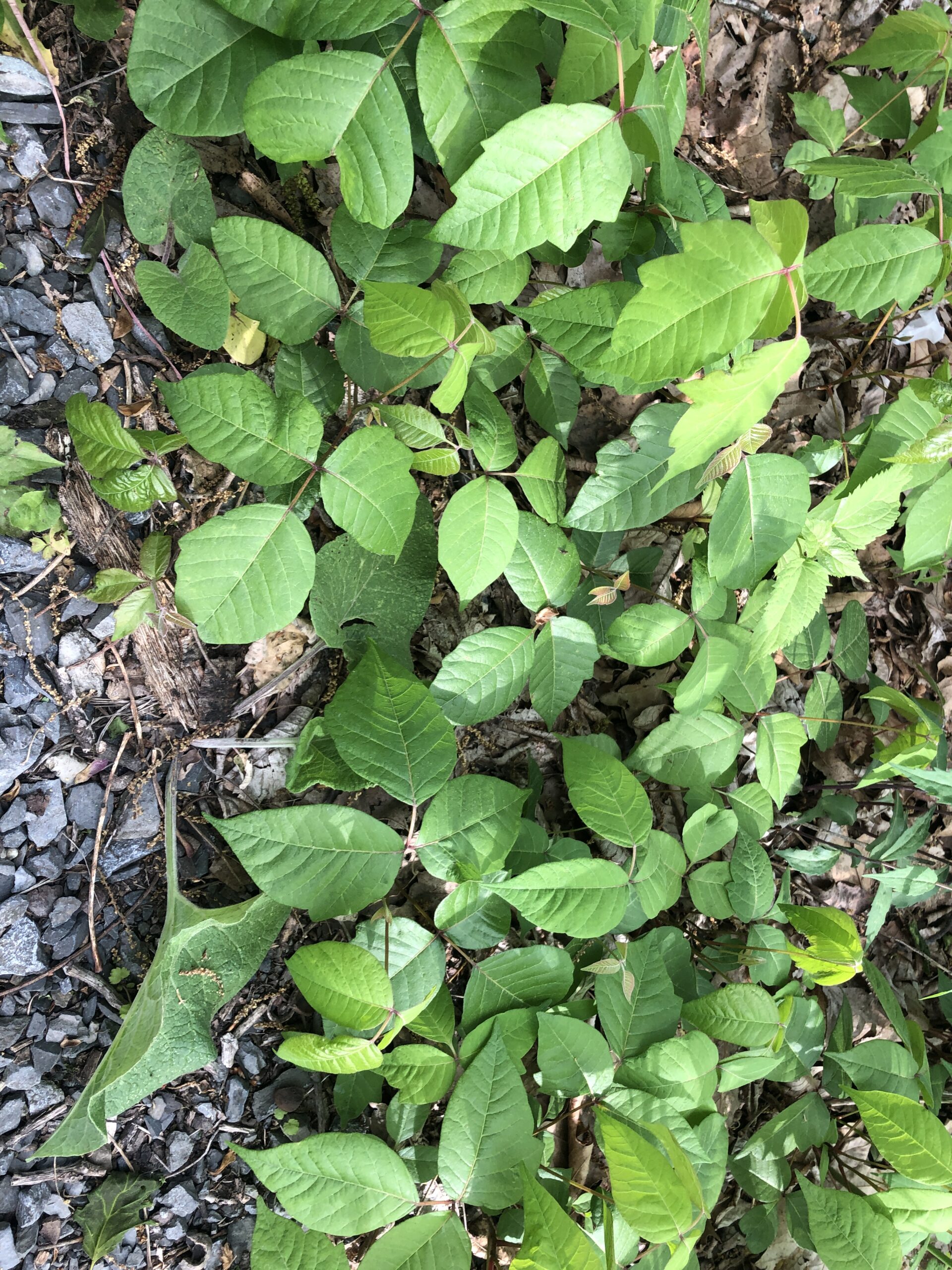
I slept almost 10 hours in our cozy tent. I dreamed I had poison ivy on my stomach. I could feel the familiar itchy bumps. When I was a kid I regularly got poison ivy from playing in the woods throughout the summer, and I frequently started the school year with the remains of poison ivy rashes. We have been surrounded by poison ivy for last several days and I am very conscious of steering clear of it. Fortunately my skin was clear. I only had poison ivy in my dream.
Sometimes when I wake up in the morning, my right foot and ankle feel a bit janky. They ask me to please stop stepping around, over, and on rocks. But then we hit the trail and they get with the program. Then sometime later in the day, my left foot says “remember how my counterpart was asking you to lay off the rocks?, well now it’s my turn”. I manage to make a deal with my left foot and we go on. If they’re lucky, my feet get to soak in a cool stream and they are happy again.

In general, both Kevin and I are doing great. Neither of us has had any injuries or even a blister. We have been careful not to ramp up the miles too quickly and we start each day with a round of stretching. Hopefully our luck will continue.
We got to Kirkridge shelter around 3:30. Fortunately it was a spacious, clean shelter with a spectacular view. We set our sleeping gear up in the shelter and relaxed. Soon GOboy (who now goes by NatGeo due to his bird obsession) and Crapshoot, friends we haven’t seen in days, showed up as if by magic. We had a lot of catching up to do. We were all looking forward to heading down to Delaware Water Gap in the morning and putting Pennsylvania behind us.

Day 28 – Kirkridge Shelter to Delaware Water Gap
We made it down the mountain and onto the streets of Delaware Water Gap by 10:30, before the anticipated rain. This village of fewer than 700 people is named for the nearby geological feature where the Delaware River cuts through the Appalachian Mountains. Folks in town seemed happy that rain was holding off, too, because of a town-wide yard sale.

I didn’t see anything we might need as we walked past the stalls, but I did find useful things like wipes and toothpaste in the hiker box at the church-run hiker hostel. Kevin got poison ivy on his ankles the night before when he stepped out of the shelter in the middle of last night without a headlamp. He was able to clean it up and treat it with calamine lotion courtesy of the pharmacy section of the hostel hiker box.
Since Duncannon, Pennsylvania has been quite challenging. Fortunately we have had a long stretch of cool, dry, and mostly sunny weather, for which we were most grateful. We recalled all the long, foot-twisting paths as well as the steep, rocky climbs, and imagined what they might have been like in the rain. We felt lucky.

We spent the rest of our near-0 day in DWG resupplying at a nearby Walmart, eating in restaurants, and of course, doing laundry while staying at the Rodeway Inn.

This website contains affiliate links, which means The Trek may receive a percentage of any product or service you purchase using the links in the articles or advertisements. The buyer pays the same price as they would otherwise, and your purchase helps to support The Trek's ongoing goal to serve you quality backpacking advice and information. Thanks for your support!
To learn more, please visit the About This Site page.

Comments 1
Great blog, good stuff (data) and I look forward to many more.
I expect to start the trail May of 2024 just before I turn 74.