
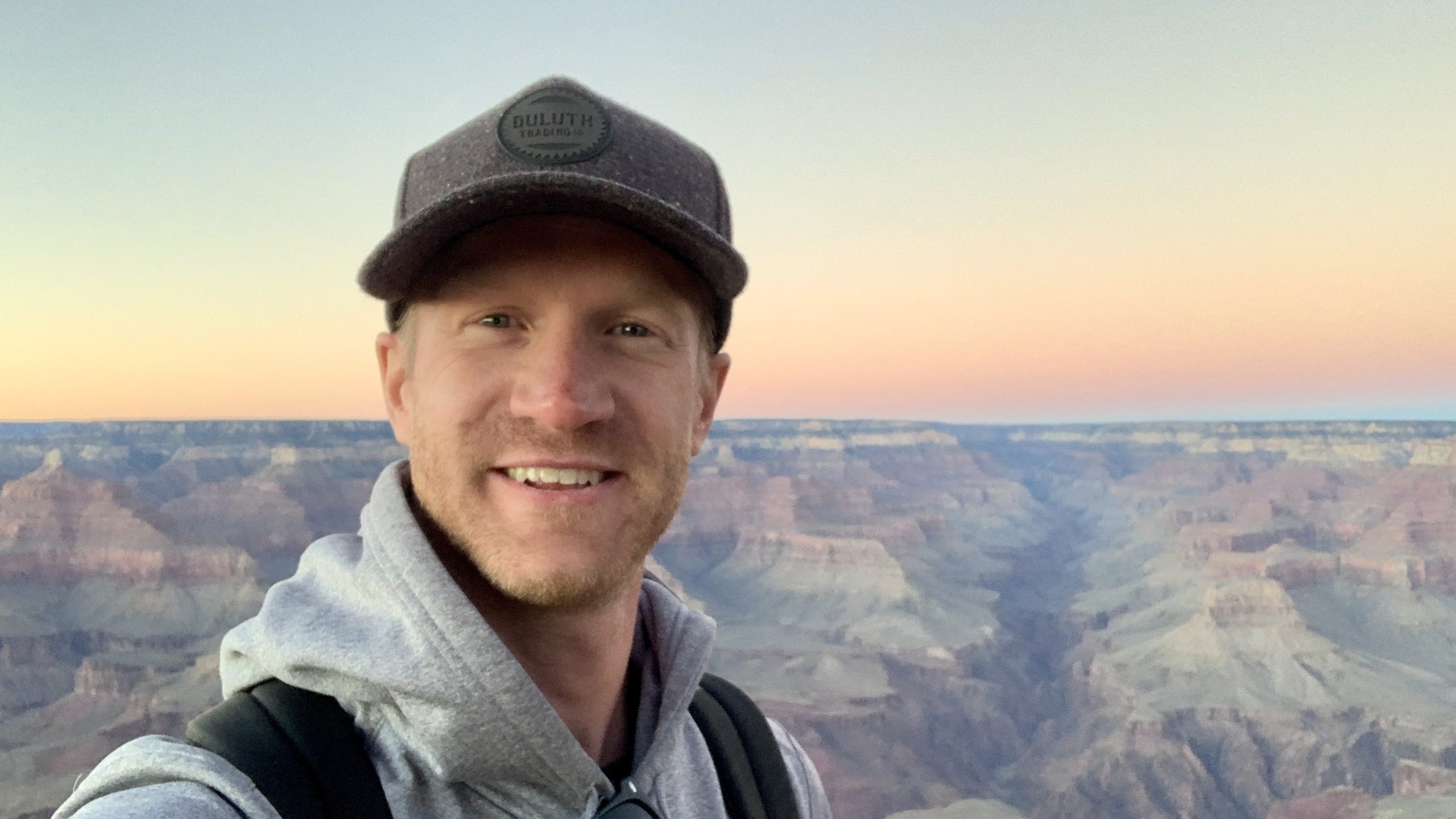
 ">

Sunrise And A Second Breakfast
Thursday, September 24th, 2026
I find time to duel a rodent, get harangued by baby goats, and eat a pumpkin maple donut in between a bit of hiking.
Turf War In The Loft
Rolling to my left, I begrudging pulled down my quilt and opened my eyes. I didn’t want to, I knew exactly what I’d see, but I had to look and choose an action. It is probably not even a big deal for shelter-seasoned long distance hikers since it happens so often. I am still a relative newbie when it comes to rodents sharing my sleeping space. I didn’t even try to hide, in fact it seemed to want my attention. After all, it probably felt that I was the one intruding on its turf. It proudly sat up and stared me down, making a chattering sound as if to communicate “what gives?!” to me. I am not sure what it expected, but I wasn’t about to roll back over and let it continue taunting me. I didn’t want to hurt it, but I wanted to give it enough of a scare that it wouldn’t come back to bother me again during the night. I sat up and motioned toward one of my shoes, about the only thing around me that I could throw. Before I was sat halfway up it did a 180 and bolted to the edge of the loft, disappearing into some space below. All I could do was hope that it would leave me alone the rest of the night so I could get some shut eye.
Five Star Sunrise
I was awake before my alarm but stayed in bed until it sounded. I gave myself 10 minutes to put my hiking clothes on and make my way outside for sunrise. The location of the cabin was indeed ideal for watching the sunrise. I particularly love seeing the fog settled in the valleys below offering a bit of contrast and making the world feel partially upside-down. It was chilly but I made my way up to the observation platform on top of the cabin and took a handful of sunrise pictures. Despite my efforts, a lot of things still need to go right for me to spend a night somewhere with such spectacular views. Sunrises are especially tricky since I am not the first to jump at the idea of getting up early the morning after hiking 20+ miles. It is only now that the sunrises late enough for me to catch them without needing to wake up early. Weather can blot out sunrises, assuming I even find a place with a clear view of the right spot on the horizon. I savored the morning sunrise over my usual breakfast of cold soaked oatmeal. I packed up in no time and walked back to – not the Appalachian Trail.
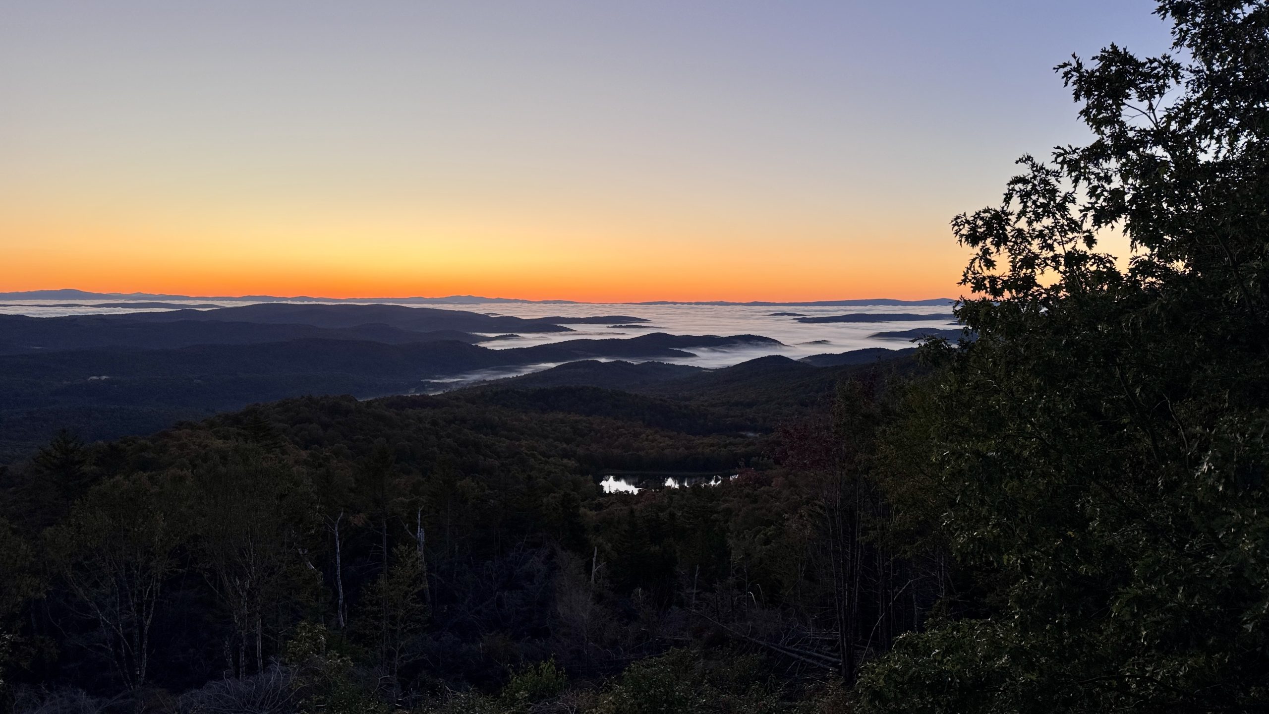
Sunrise is imminent at Luce’s Lookout.
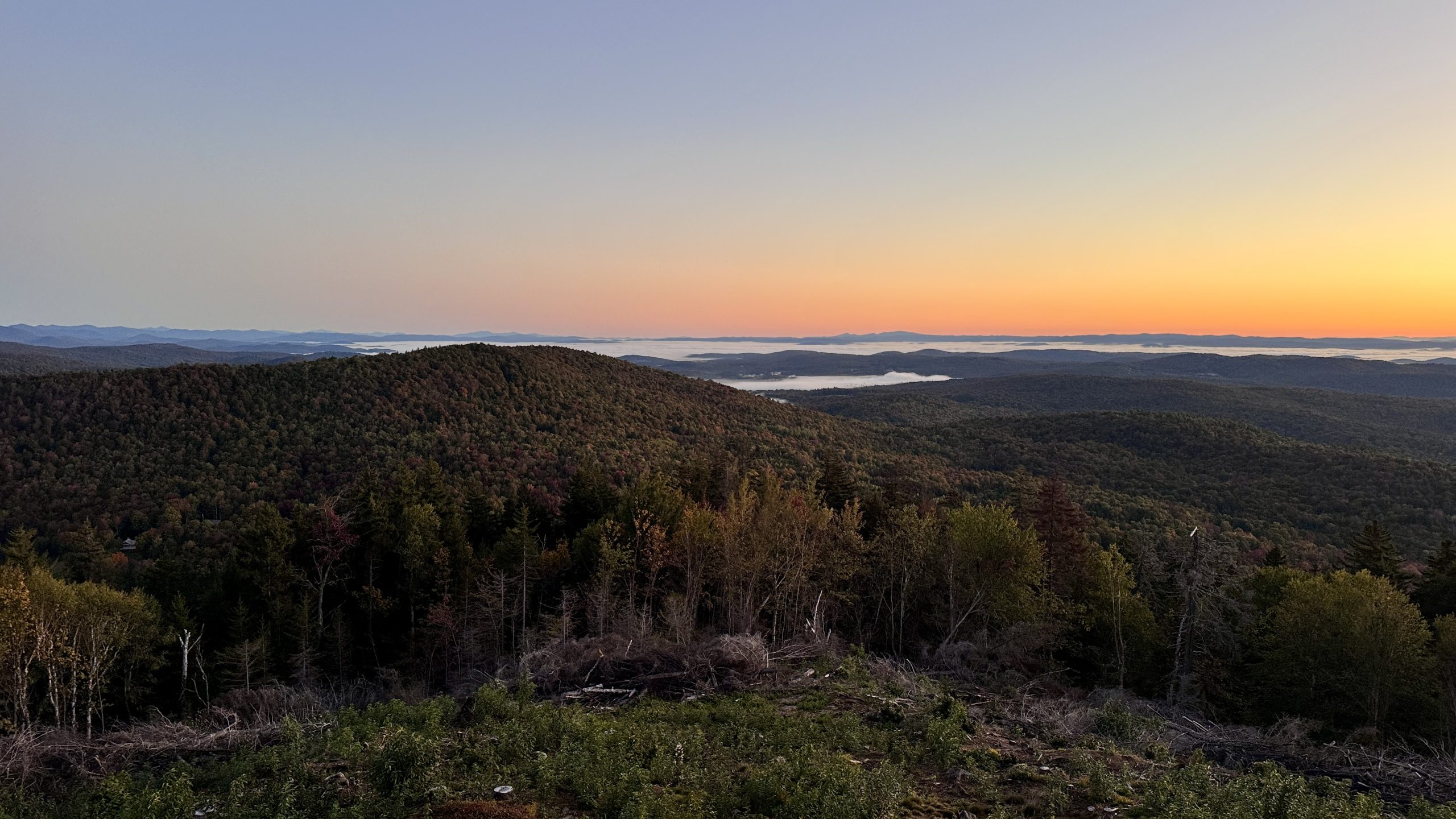
Sunrise is imminent at Luce’s Lookout.
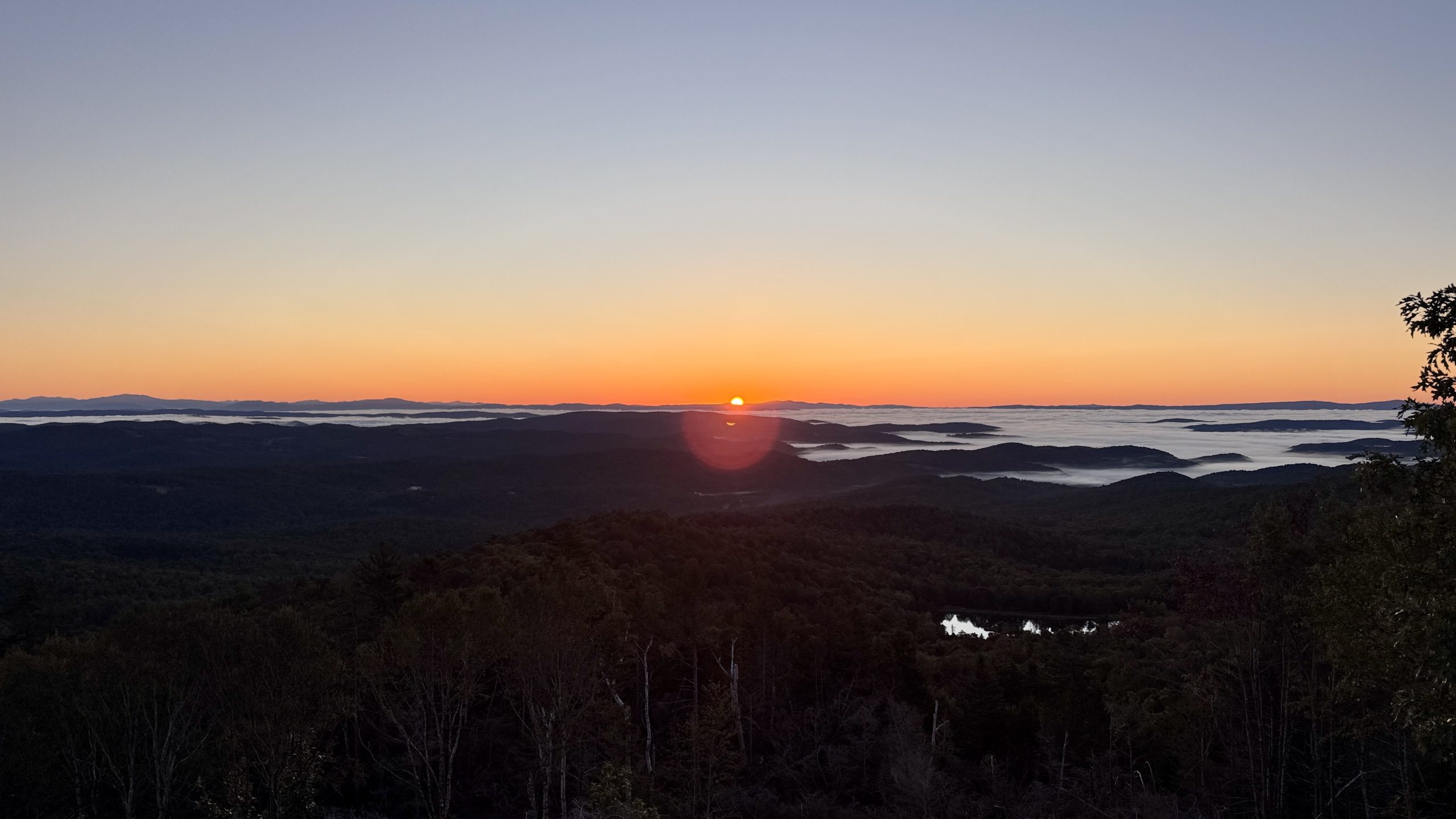
First contact with the sun.
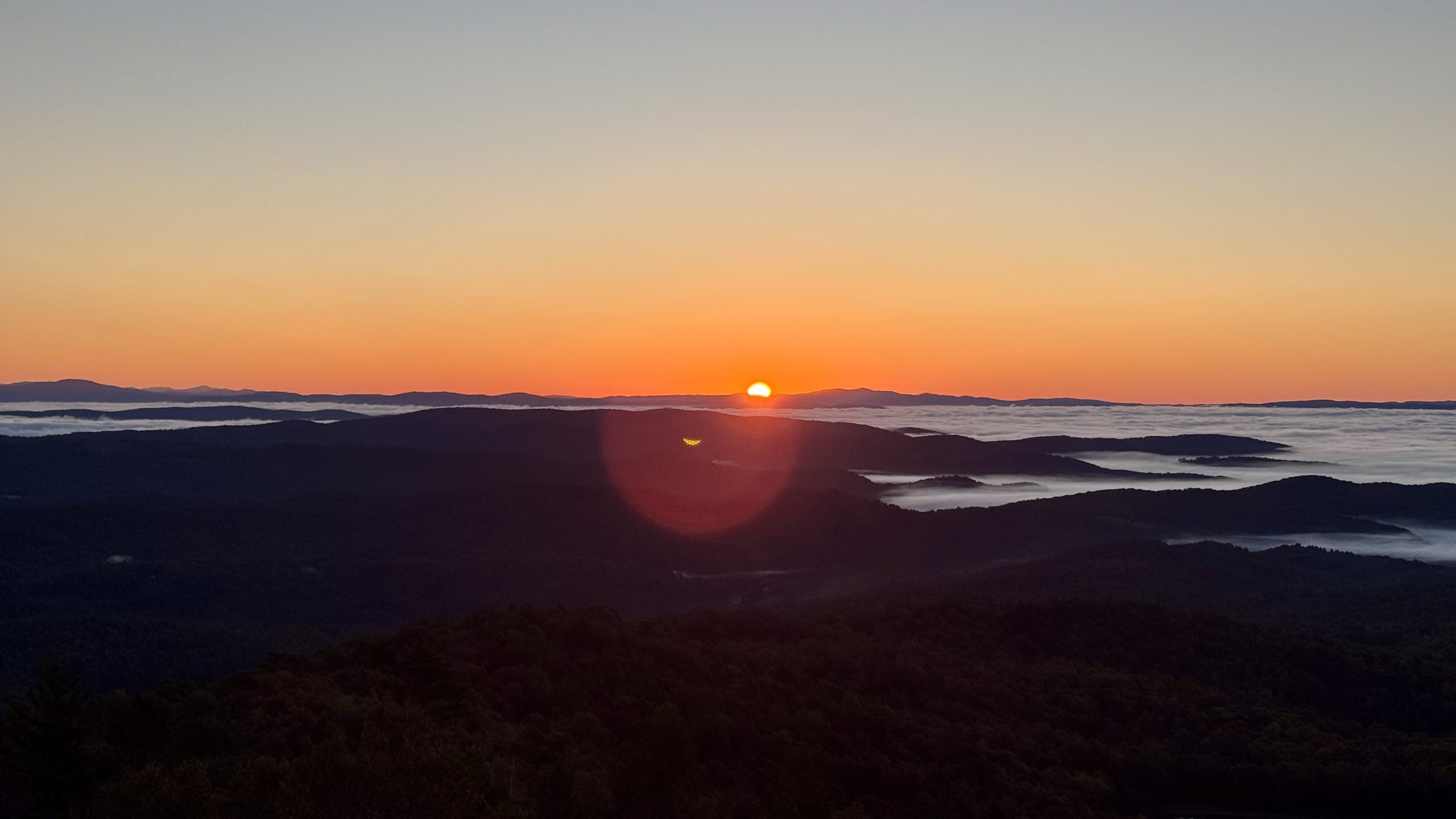
The sun lets the morning fog know that its time is limited.
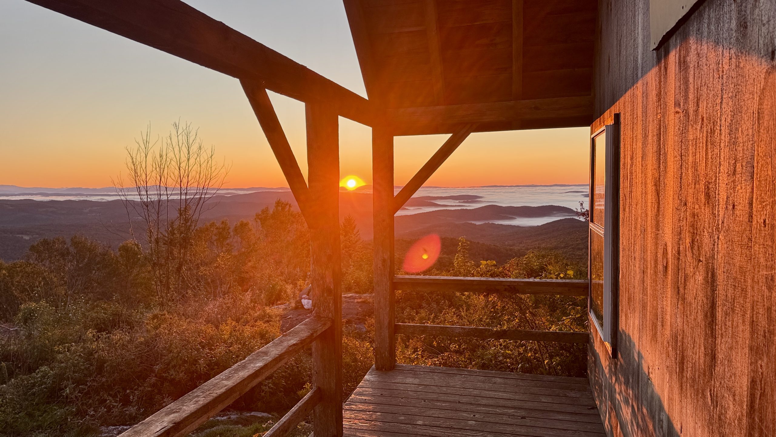
The first sunlight hits the cabin on Luce’s Lookout.
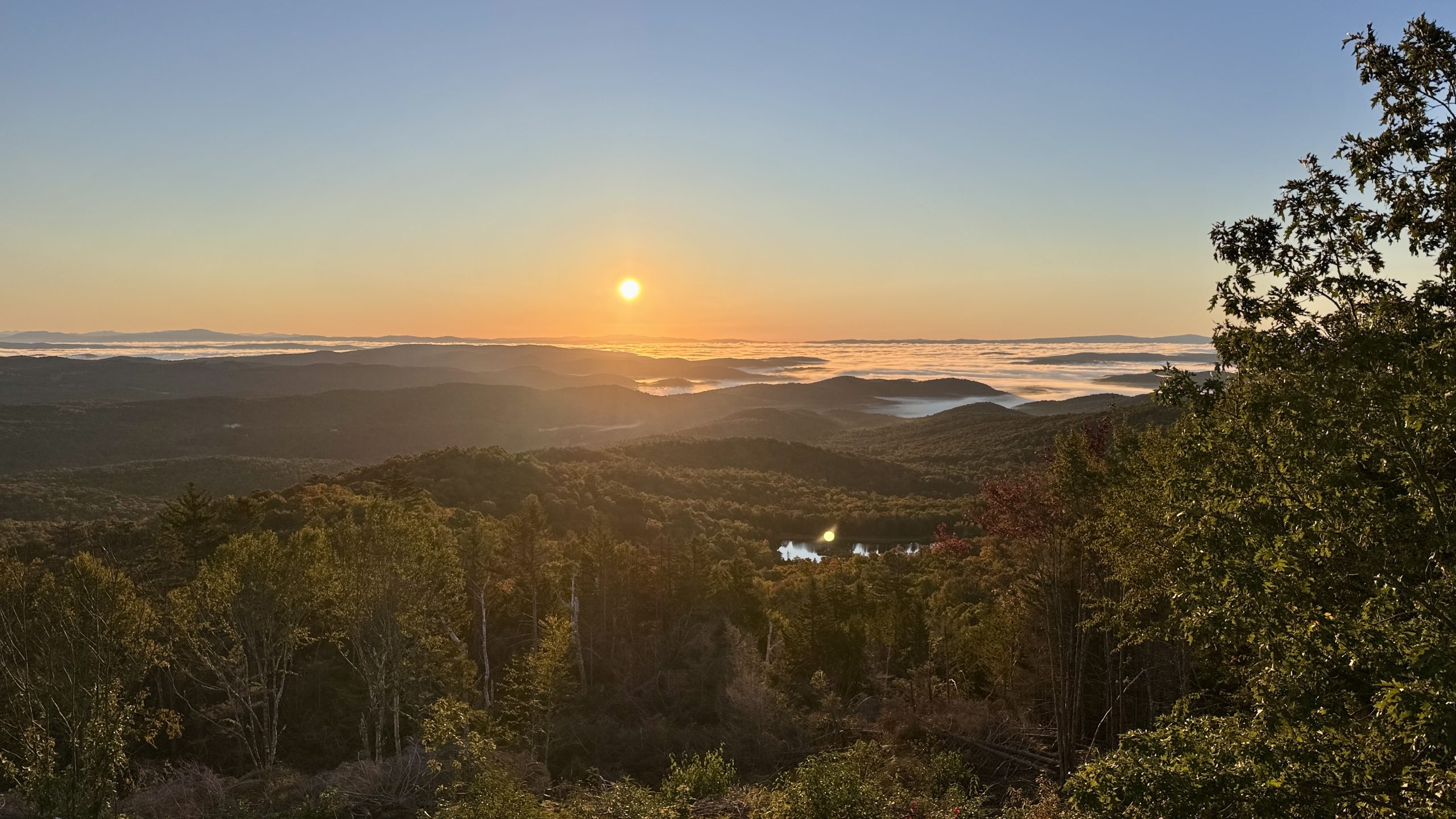
The sun progresses along its upward path lighting up the forest and hills below.
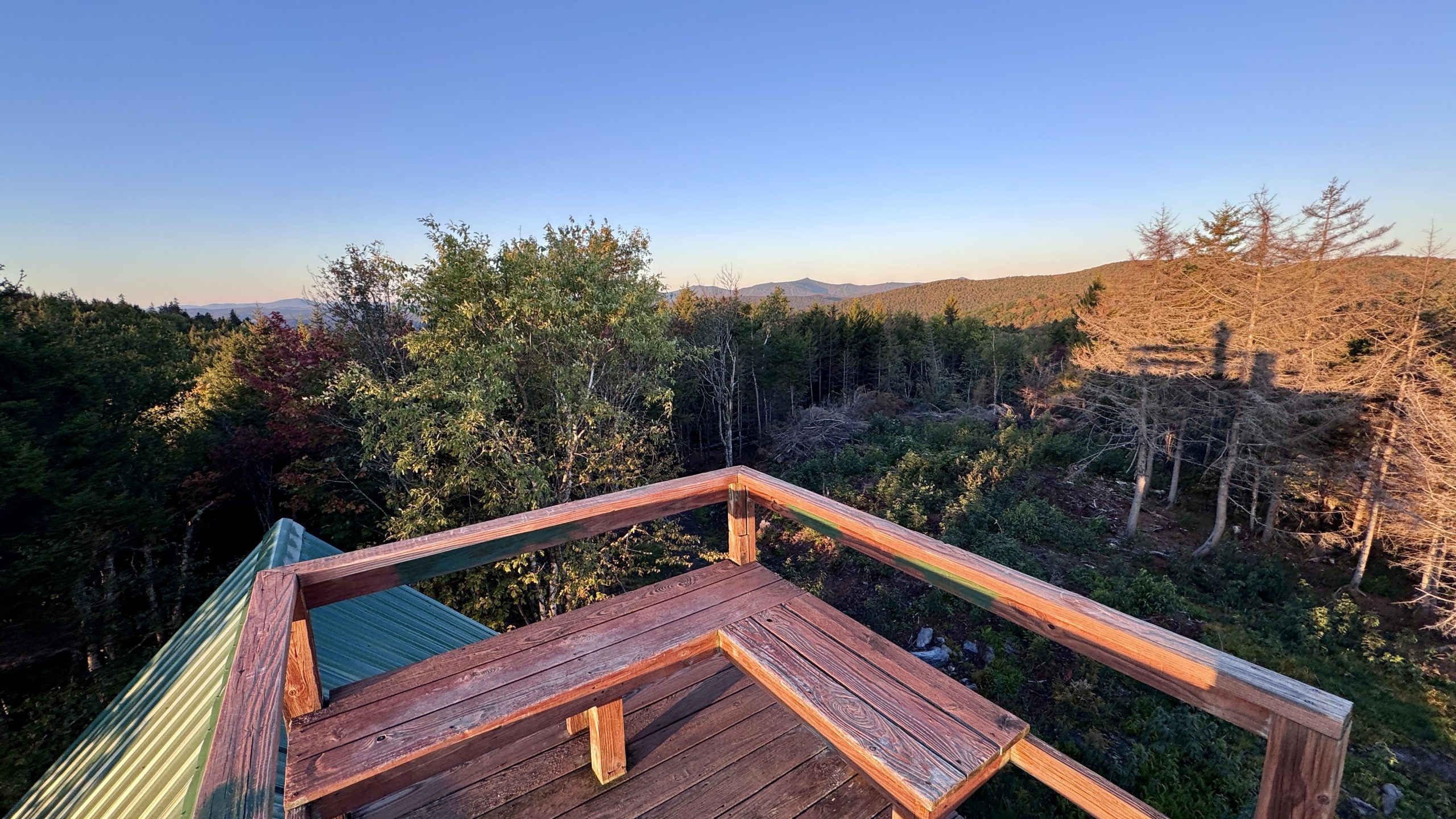
Hanging out up on the platform on top of the cabin.
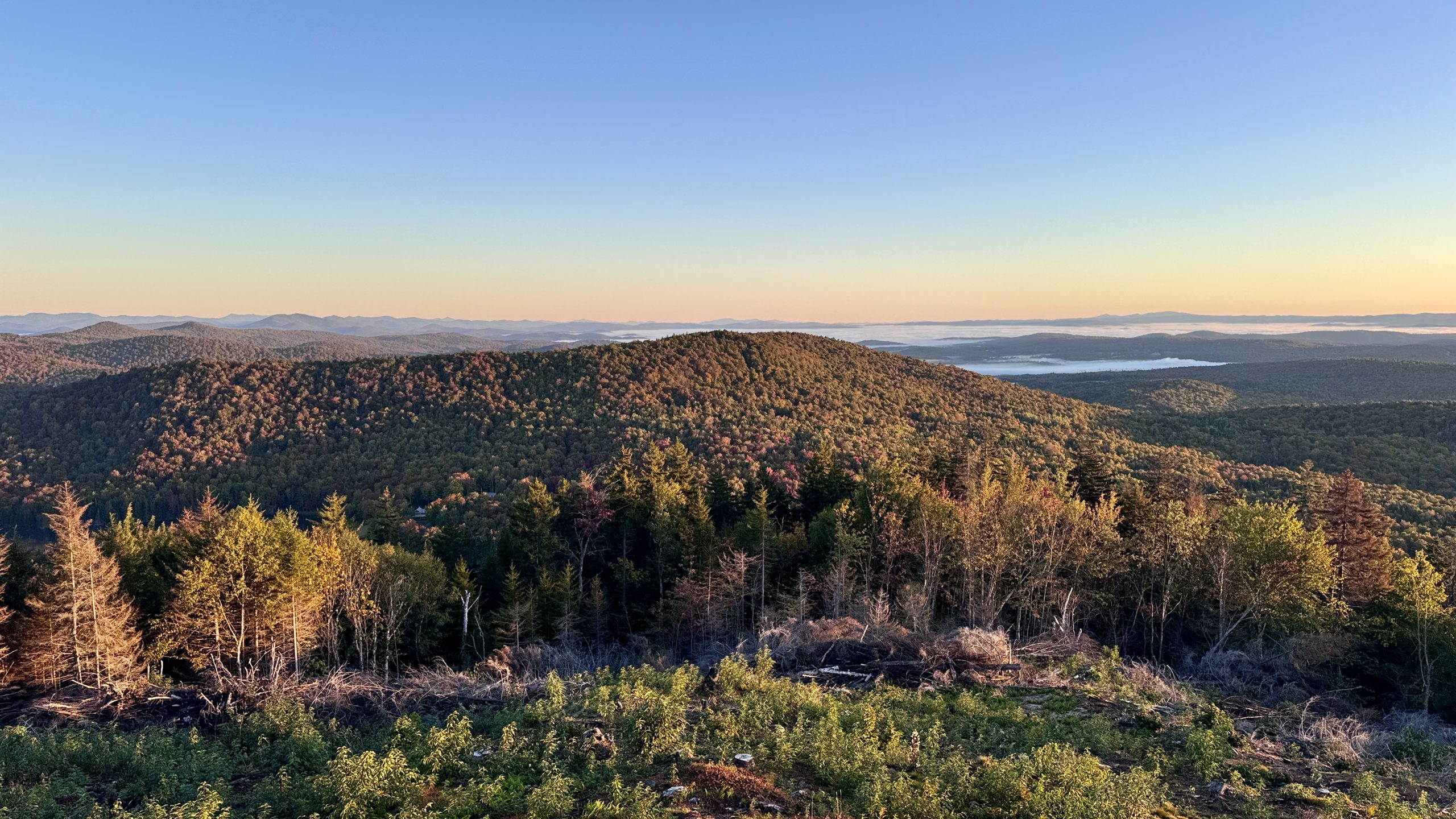
A little more sunrise at Luce’s Lookout.
Road Walks Are Goated
Along the spur trail connecting the cabin with the AT is a path that leads to some local roads. Those roads eventually connect to Route 12 and the trailhead where I parked my van. Truth be told, the overall distance was probably similar to the AT. It was probably a smoother ride but the 6 miles of AT leading back to Route 12 weren’t exactly arduous. Honestly I just wanted to see something different. This route would also pass a coffee shop which is never a bad thing early in the morning. I put my faith in the FarOut commenter who posted about this route and set off down the path. It was very much a leap of faith since my US Topographic map that has seemingly every back road and trail visible did not have this path. After 15 or so minutes it was clear I was heading directly for the road.
Once I picked up the road I needed to make a series of turns as I made my way past one homestead after another. Each home was full of character and matched the Autumn season perfectly. One home spanned the road and had a small corral opposite the home. Half a dozen young goats stared at me as I approached, bleating inquisitively. This alone made the road walk worth it. Before you ask, I don’t generally post photos of private property without the owners permission, so you won’t see a picture of the goats, but rest assured they were exceptionally adorable.
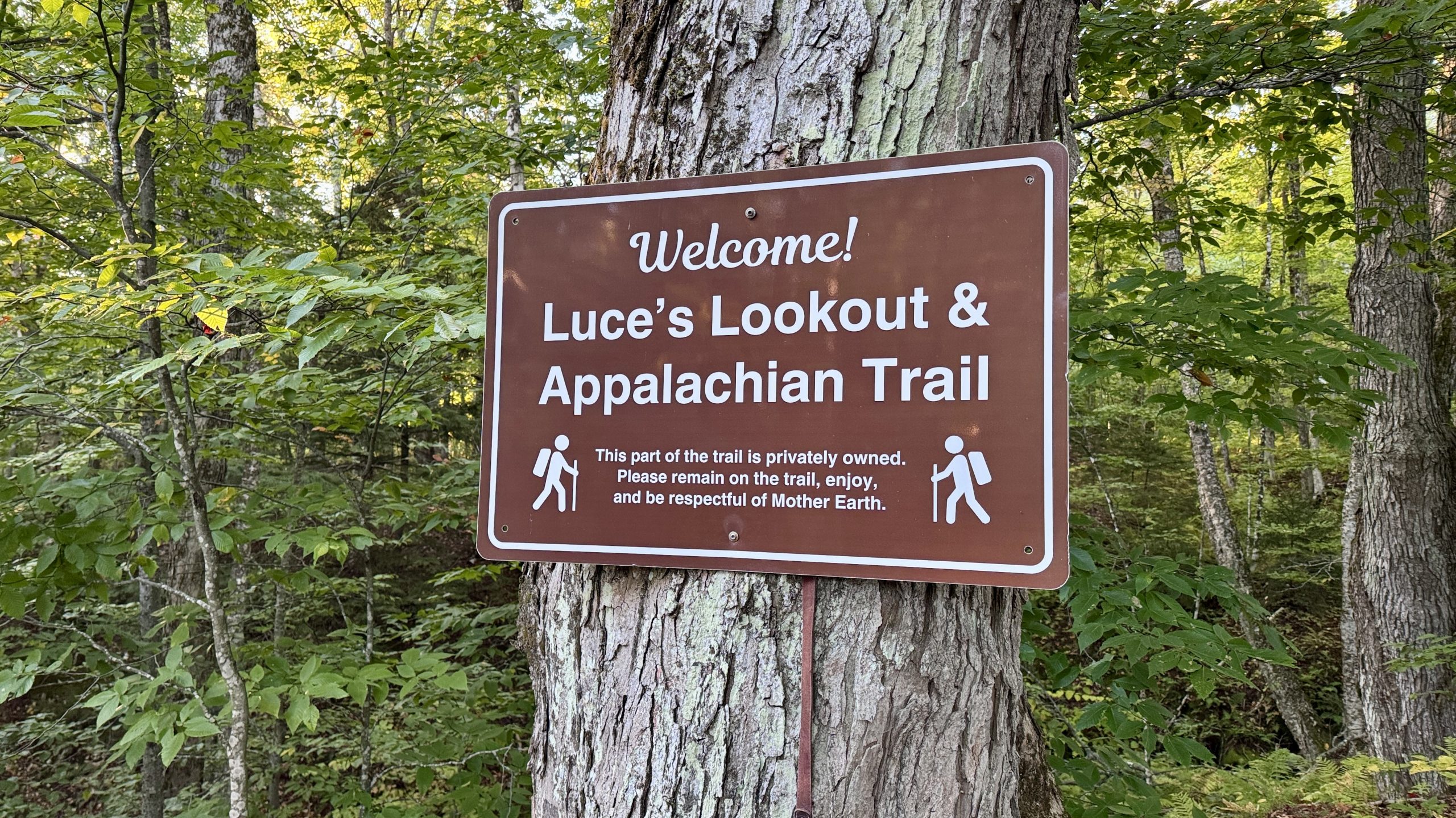
A sign along the road to Luce’s Lookout.
Abracadabra Coffee Co
After about two hours of road walking I reached the Abracadabra Coffee Co shop. I left my pack outside and walked in to an unusual setup: A small, retro travel trailer was parked inside an open space. A few people were tapping away at laptops at the dozen or so tables inside. In the back coffee and other creations were being roasted, brewed, and baked. I opted for my standard black filtered coffee but couldn’t resist adding a pumpkin maple donut. What better way to savor Vermont in the Fall?
After my second breakfast I walked the last half mile along Route 12 to my van, drove toward Killington, VT, and parked up at the River Road trailhead. It was only about 10:00AM, plenty of time to hike 13 miles out and back to wrap up my much-revised 2-day backpacking itinerary.
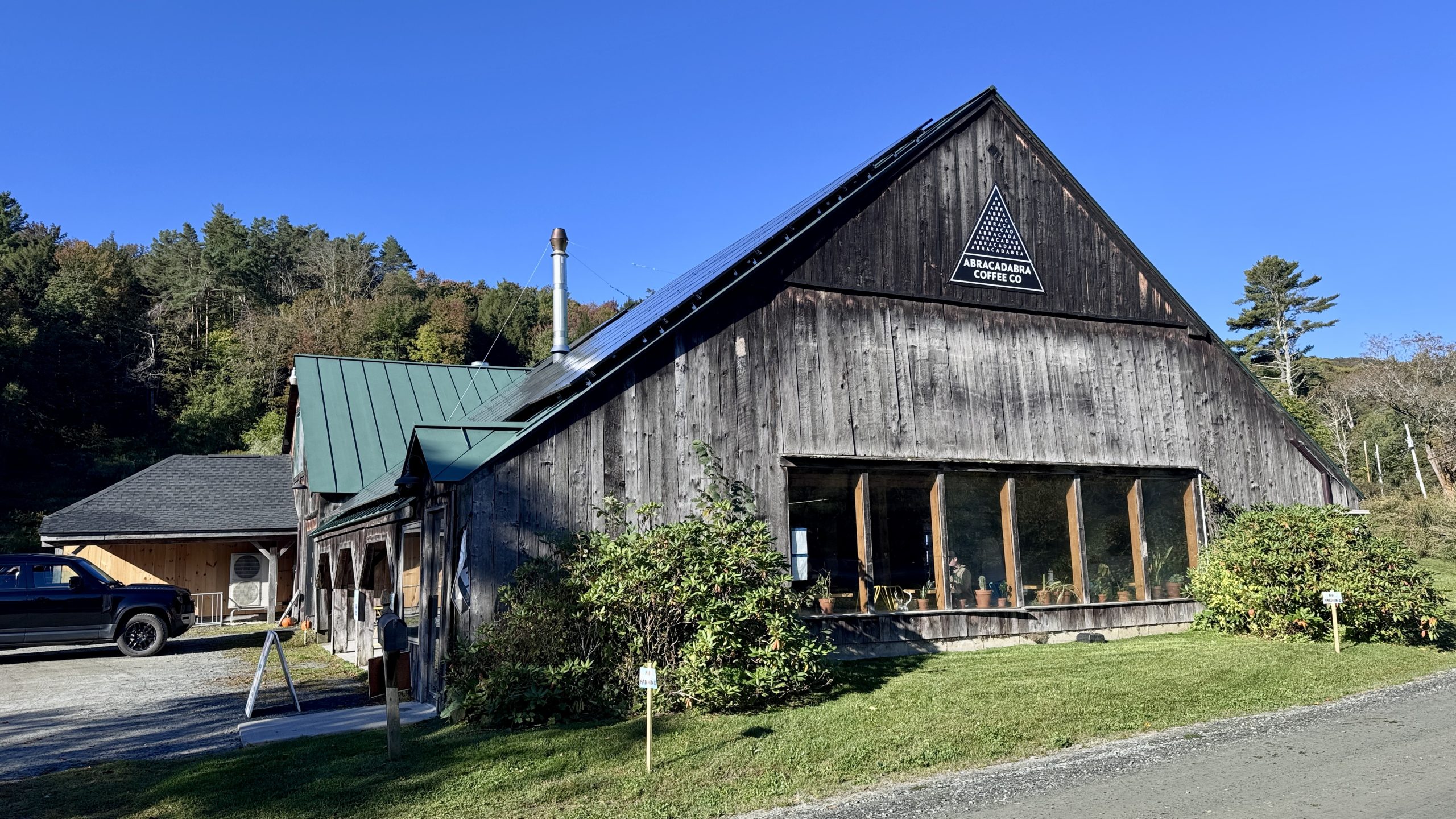
The Abracadabra Coffee Co.
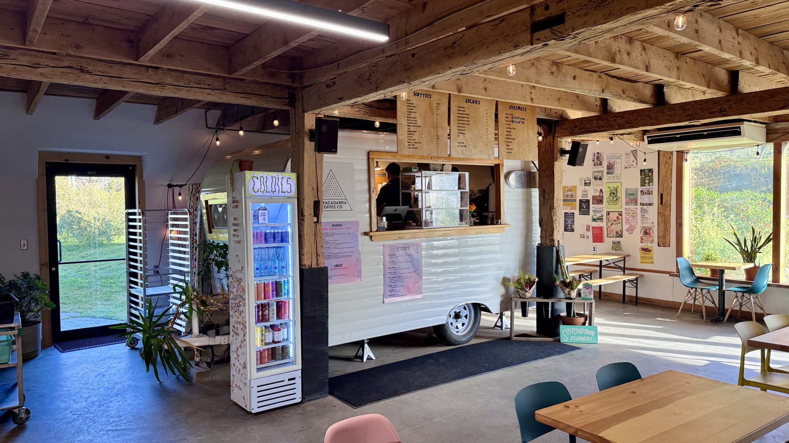
There was no missing the spot where they take your order.
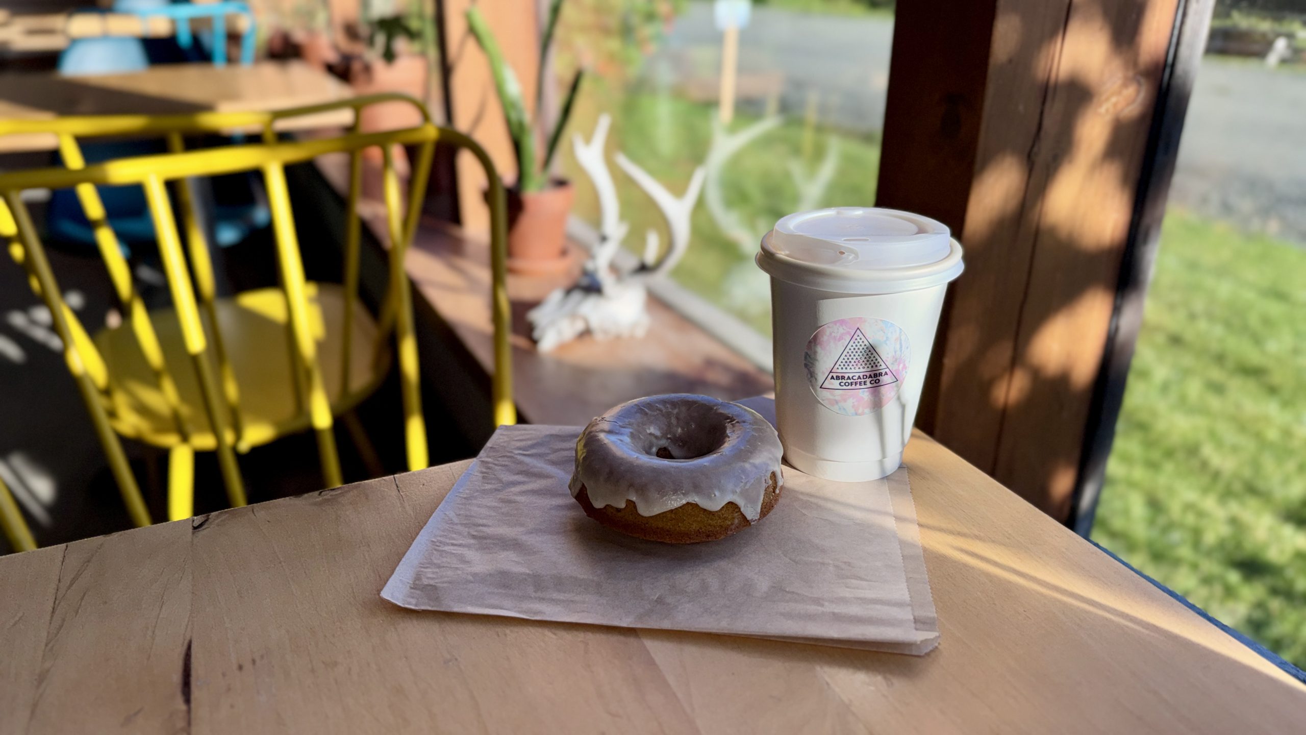
A pumpkin maple donut and a coffee.
Rounding Out The Hiking And Some OT
Hiking south from River Road meant an immediate climb up Quimby Mountain (I checked, there is no relation to Mayor Quimby from The Simpsons and this mountain). From there the rest of the miles were fairly easy. A view to Killington Peak opened up in a spot where power lines had been run. The trail followed a ridge down to Stony Brook, at one point having no other option than to drop down a steep boulder. A ladder had been secured to the rock to give hikers a safe way to scale down (or up for you SOBOs). Stony Brook continued the trend of crystal clear water at almost every water source in Vermont. On the north side of the creek was a memorial to Robert Kerker. According to an obituary I was able to find by searching his name, he was an avid hiker and passed away not far from the memorial during an attempt to complete the Appalachian Trail in 2023.
I headed a little further north to mile 1,720.8, connecting to me turn around point from yesterday and hiked back down to River Road. It was still early afternoon with plenty of sunshine left so I decided to knock out a little more than 2 easy miles south crossing a flat area just north of Killington. The trail past Thundering Falls and Kent Pond before reaching Route 100. There were plenty of day hikers on this easy section of trail, so I had a few opportunities to tell people about my hike.
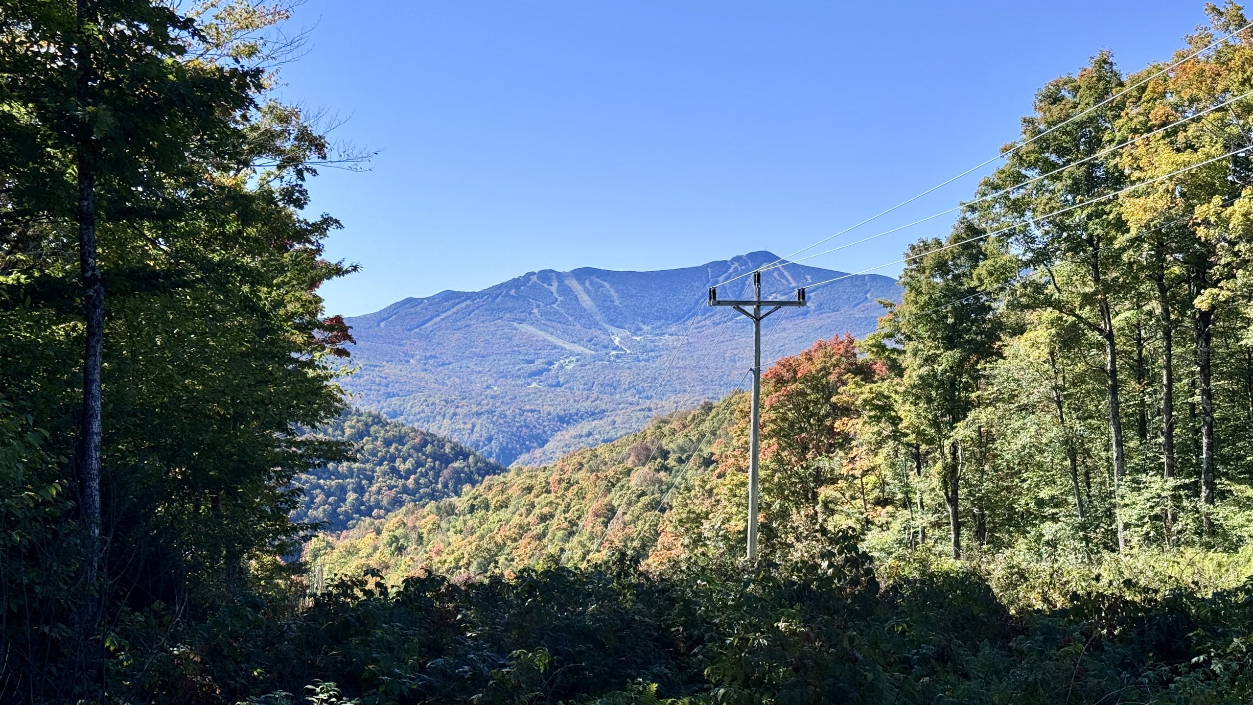
A clear view to Killington Peak.
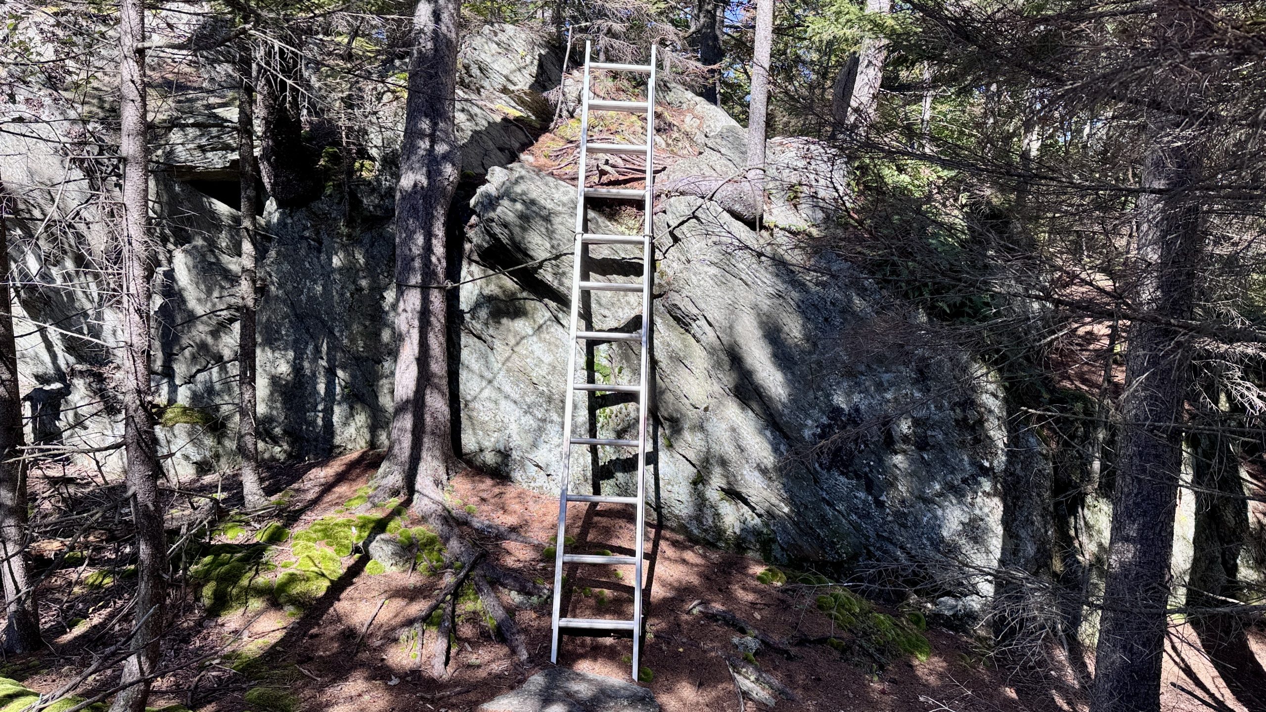
A ladder is secured in place to scale a rock face. Ambitious hikers found a pretty easy ascent just to the right.
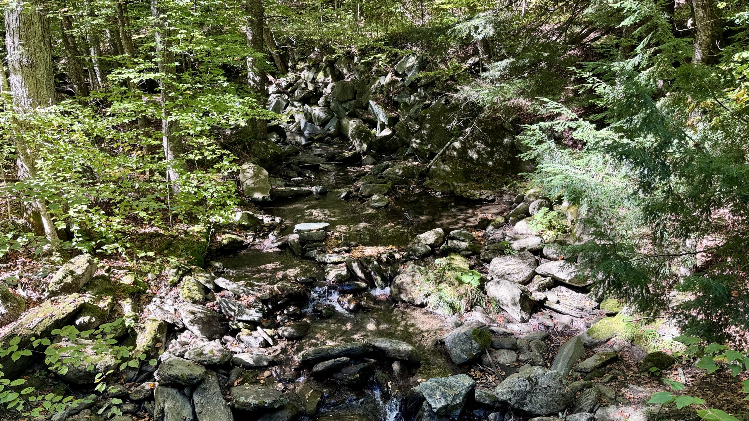
Stony Brook.
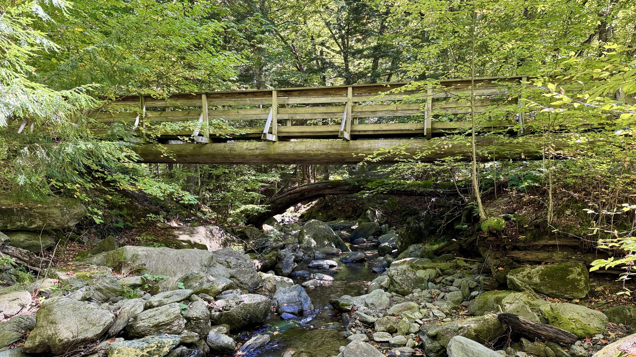
The bridge over Stony Brook.
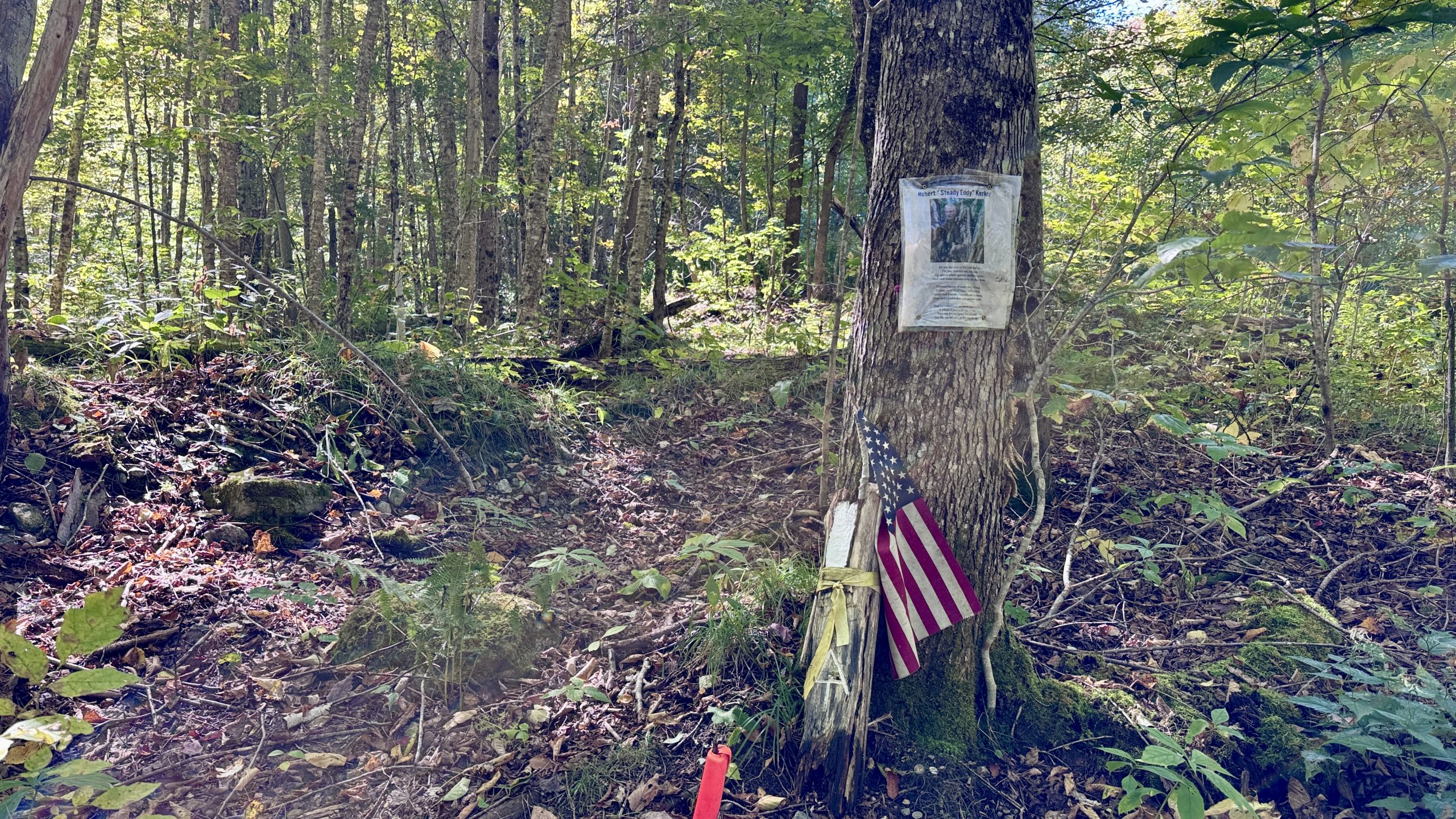
A memorial beside the trail to Robert “Steady Eddie” Kerker.
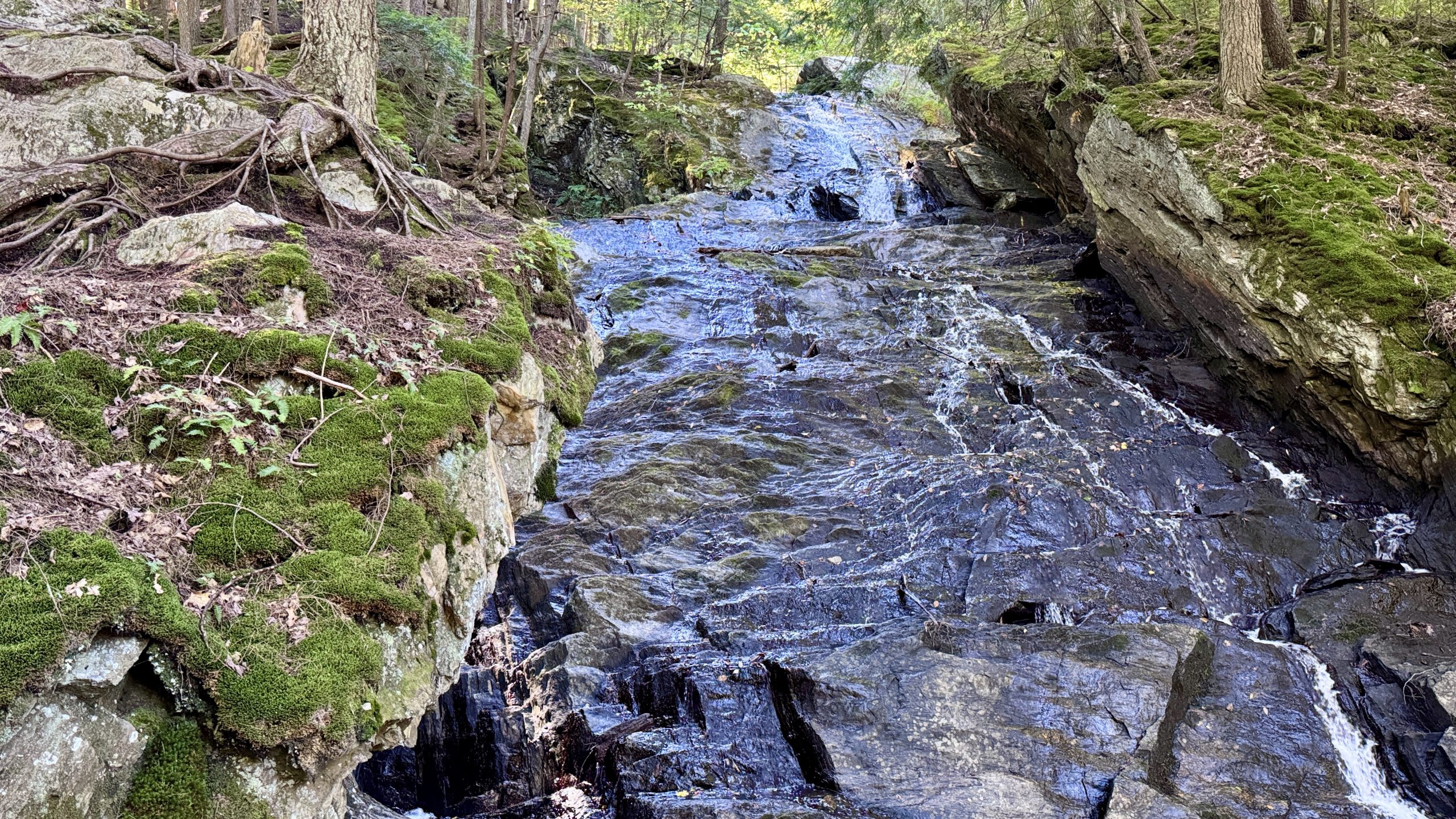
Looking up at Thundering Falls.
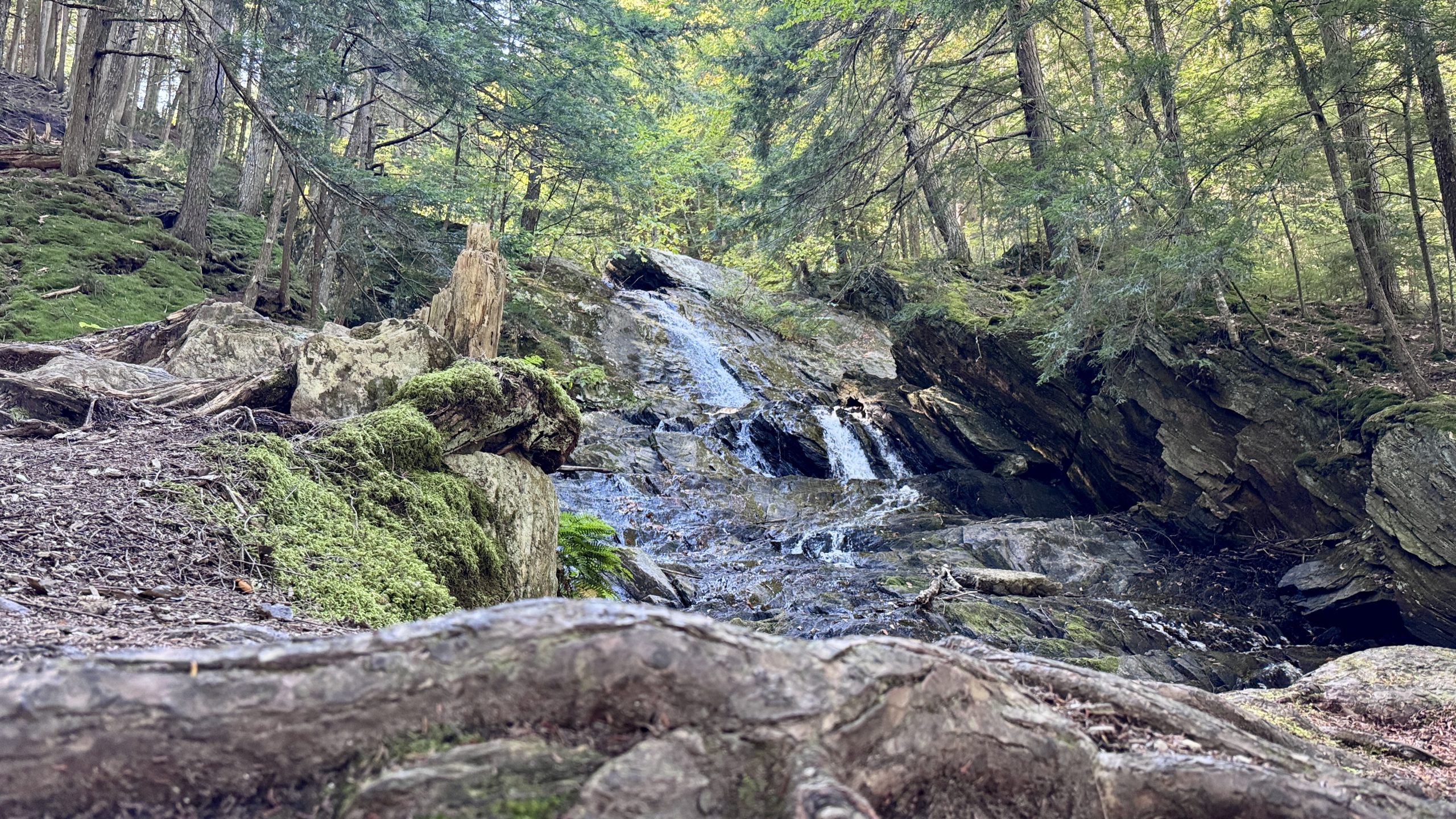
Looking up at Thundering Falls.
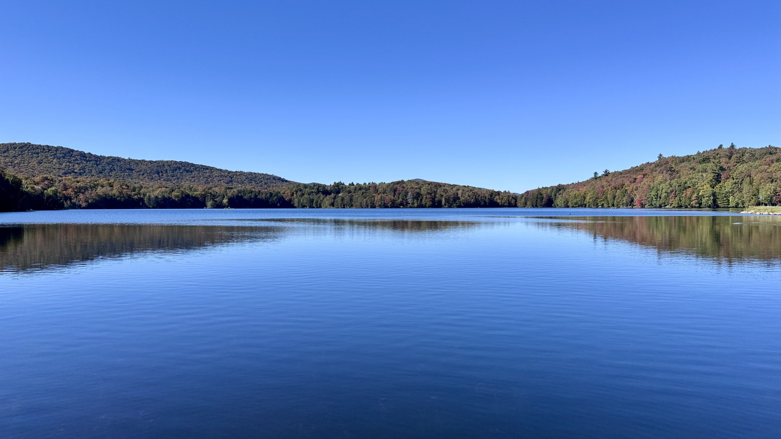
Kent Pond.
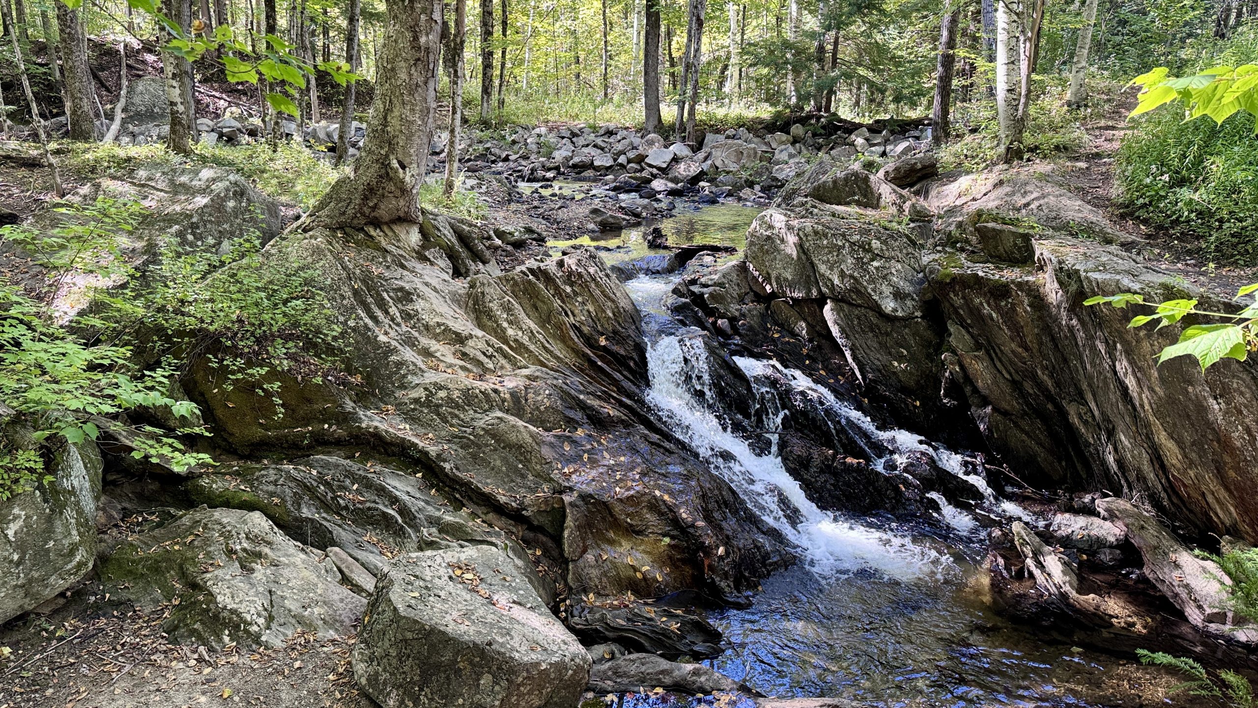
Kent Brook heading for the pond.
Rutland Retooling
Once I had complete my round trip back to River Road I drove into Rutland, the nearest major town for some budget friendly food. I took a close look at my final 2-day backpacking itinerary now that I had trimmed 2 miles off both days. As usual, I kept an eye out for good places to camp. In the upcoming section there is an alternate route called the Sherburne Pass Trail between Pico Peak and Route 4. That trail seemed to have better camping options with views since the trail crossed over some ski trails. I decided to hike the AT proper on my first stint and then hike back up Sherburne Pass Trail in the hopes of finding a camping spot near a nice view. This had the effect of creating an imbalance in miles, I’d be hiking quite a lot on Friday but that actually worked in my favor since an early finish on Saturday would allow me to get caught on the Formula One Azerbaijan Grand Prix which takes place on Saturday. I won’t be able to watch the race live, but at least I’ll be able to see it later on the same day. And there’s also an increasing chance of rain forecasted for Saturday afternoon and evening, another good reason to push myself to finish up early.
-See You Tomorrow
| Leg | Start | Mile | End | Mile | Ascent | Descent | Direction |
|---|---|---|---|---|---|---|---|
| 1 | The Lookout | 1,726.0 | VT Route 12 | 1,732.1 | 702 | 2,227 | NOBO |
| 2 | River Road | 1,714.3 | MM 1,720.8 | 1,720.8 | 2,605 | 1,650 | NOBO |
| 3 | MM 1,720.8 | 1,720.8 | River Road | 1,714.3 | 1,650 | 2,605 | SOBO |
| 4 | River Road | 1,714.3 | VT Route 100 | 1,712.0 | 5,886 | 7,868 | SOBO |
| 5 | VT Route 100 | 1,712.0 | River Road | 1,714.3 | 5,886 | 7,868 | NOBO |
Total: 23.7 miles, 48,114 steps
- Type of hiking: Mixed
- Camp: Van

This website contains affiliate links, which means The Trek may receive a percentage of any product or service you purchase using the links in the articles or advertisements. The buyer pays the same price as they would otherwise, and your purchase helps to support The Trek's ongoing goal to serve you quality backpacking advice and information. Thanks for your support!
To learn more, please visit the About This Site page.