 ">

Tennessee, Baby!
9/7/26
18.8 miles; Double Spring Shelter
“Tennessee, Tennessee, ain’t no place I’d rather be. Baby won’t you carry me, back to Tennessee.”
Tennesee Jed. Lyrics by Robert Hunter. Song recorded by The Grateful Dead.
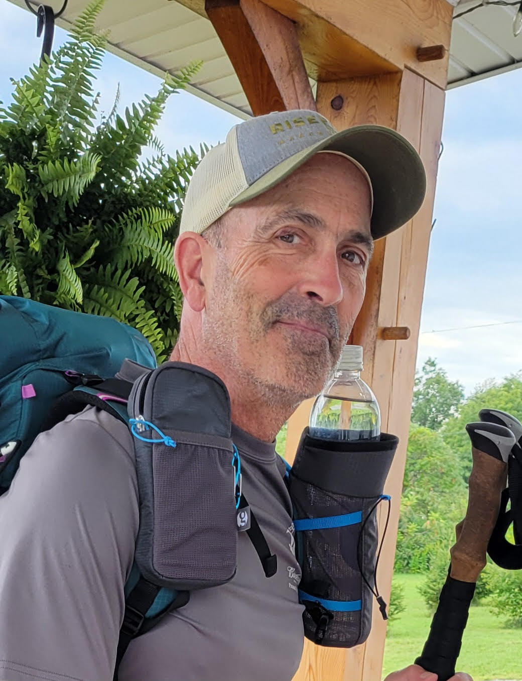
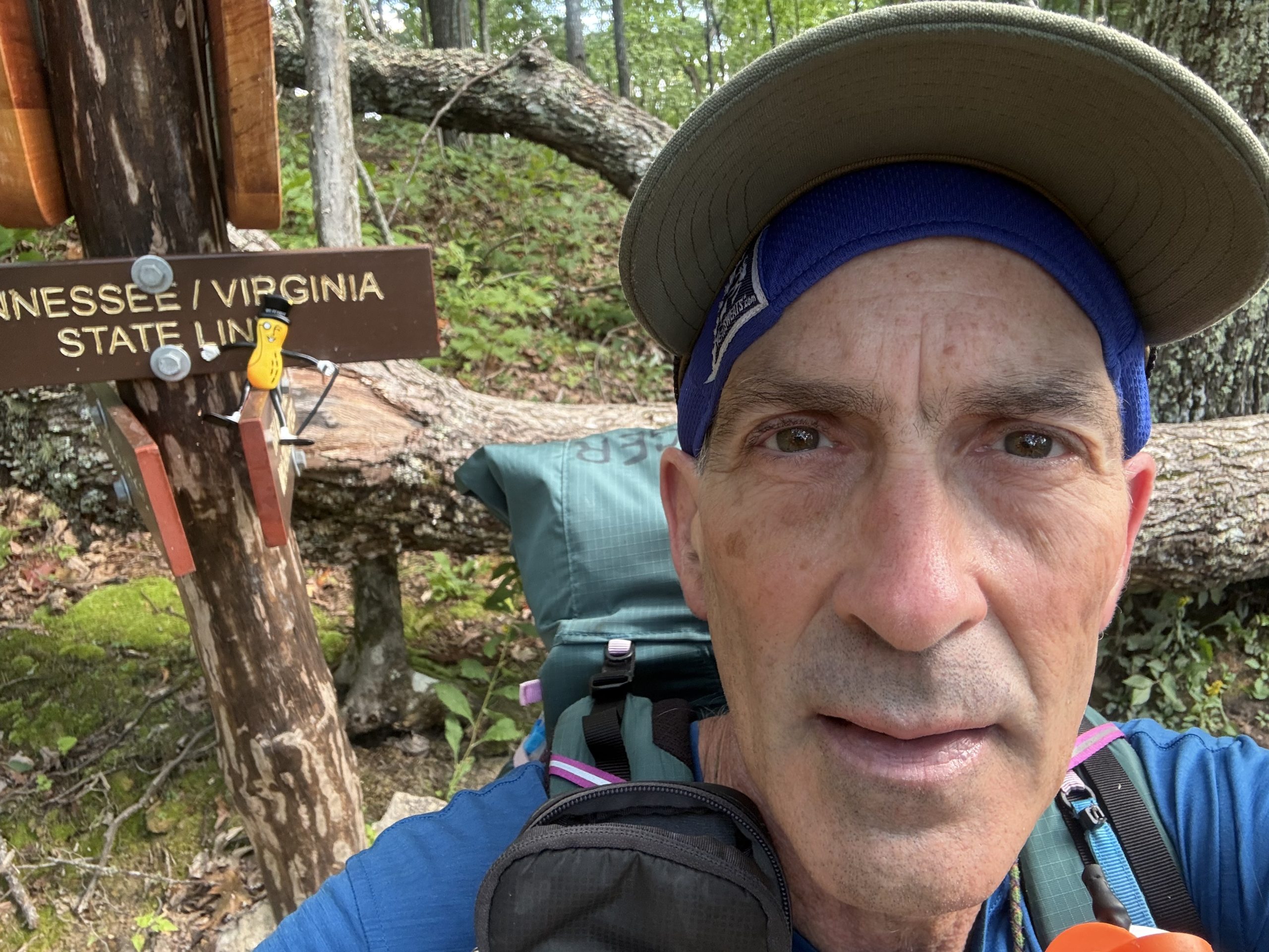
Yes Siree Bob, I crossed into Tennessee after about 4 miles this morning. Sure, state lines are just man made, arbitrary lines, but it did give me a little boost and I gave myself a pat on the back. We’re gettin’ there, baby!
I began walking out of Damascus at 7am, and it wasn’t long before I was climbing the hills above town. The trail was smooth. The weather was perfect for hiking, cool & breezy.
I stopped for lunch at the Abington Gap Shelter. It was only 11am, but I had already walked 10.5 miles. Not bad for a senior citizen. I had a nice chat with Mrs. Acorn. Did I mention how much I miss her?
Pressing on, I met a couple of NOBO section hikers, named “Almost There” & “Mismatch”. We had a brief trail conversation. Later, I met an older couple (just slightly older than me, I think) who were out for a day hike and enjoying the break in hot weather. Soon afterward, I met a hunter scouting for future deer hunting spots.
Then it was down to Low Gap, where I crossed US421. Following that, I went up and down a few hills, until I reached the Double Spring Shelter, some 3.5 miles or so later. I set up camp at a nearby tent site, as the sites near the shelter were subpar. The shelter itself was literally buzzing with bees, so that was also undesirable.
Tonight looks to be a bit chilly…good for snoozing, but bad for getting my ass out of the tent in the morning. I have a shorter day planned, so I can lollygag a bit, while it warms up.
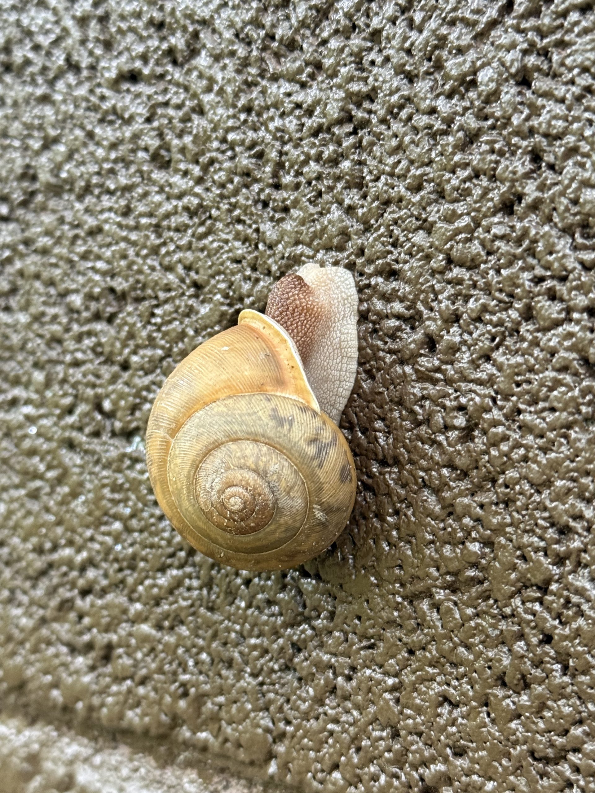
9/8/26
17.6 miles; Stealth Tent Site
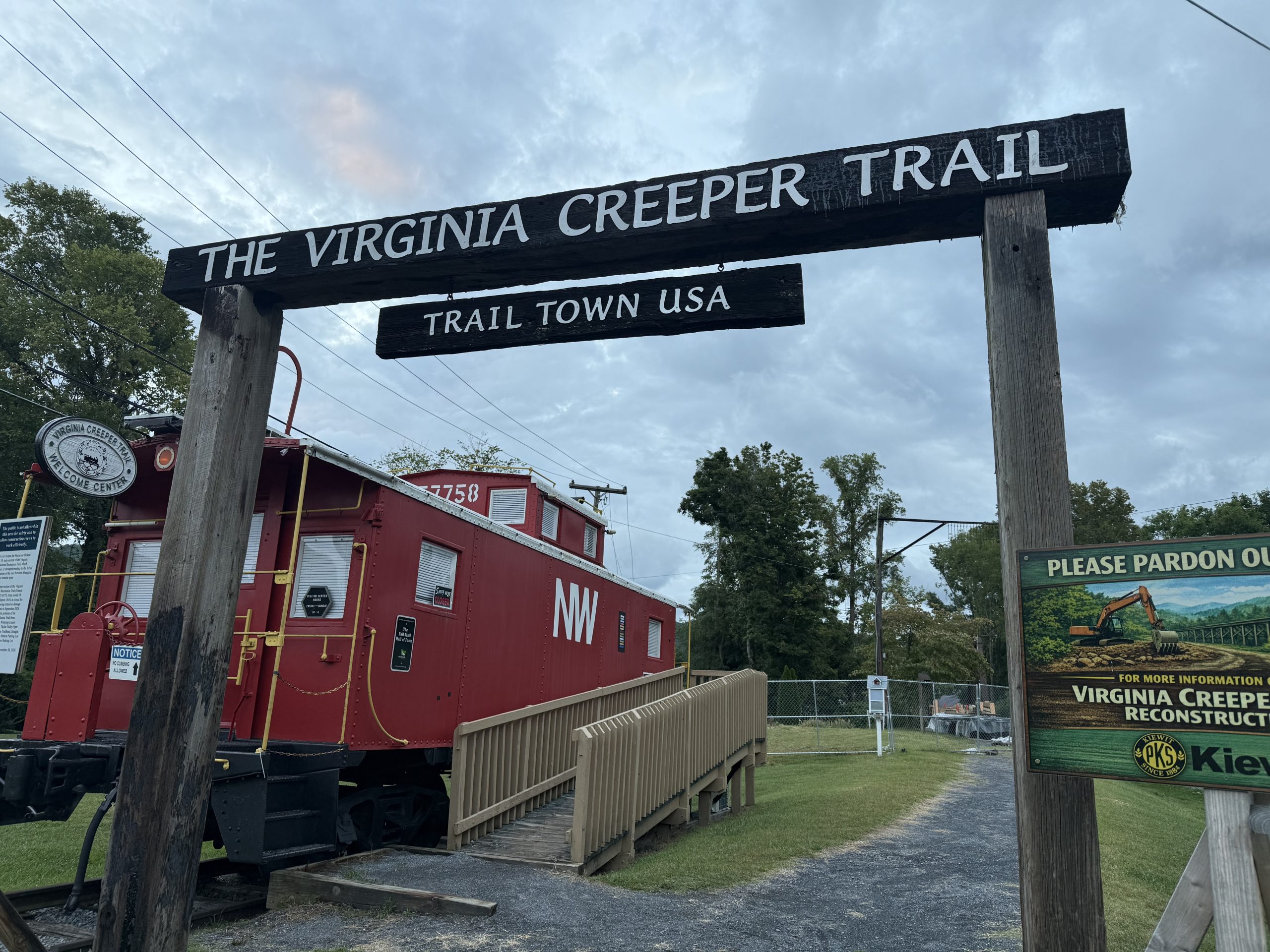
I slept in a bit this morning, since I was planning on a shorter day of hiking. I finally crawled out of my bag at 6:15am or so. I took my time and started hiking about 8:30am.
After walking a little over 2 miles, I entered yet another cow pasture. I saw only one cow, off in the distance. This particular pasture was quite lovely, and there was even a gravelly path during the second half. I took some nice photos.
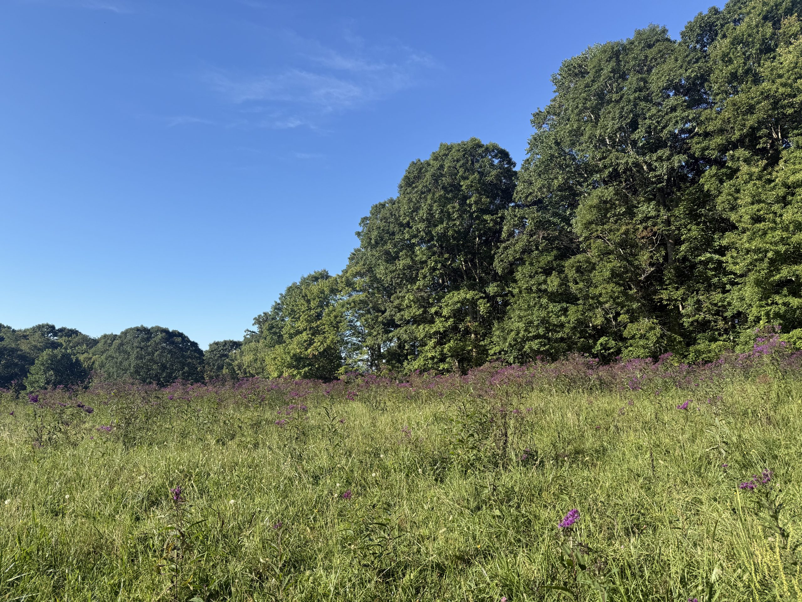
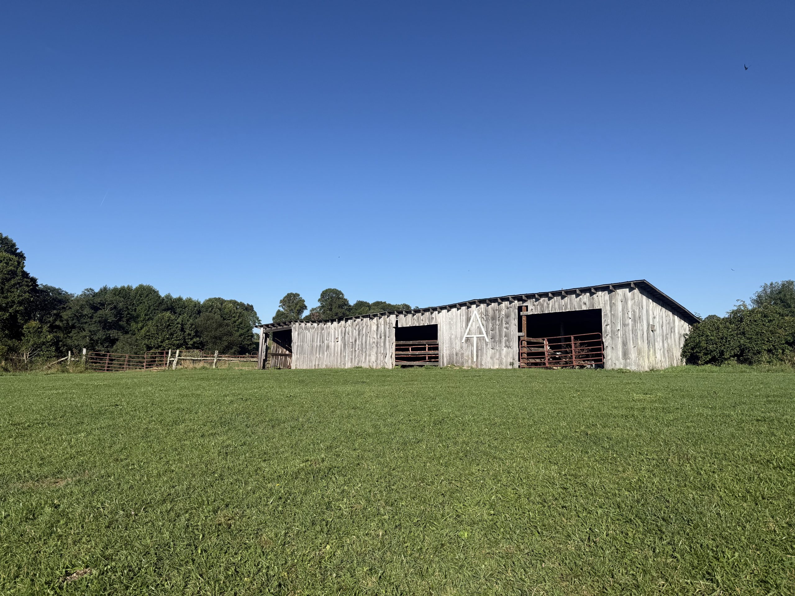
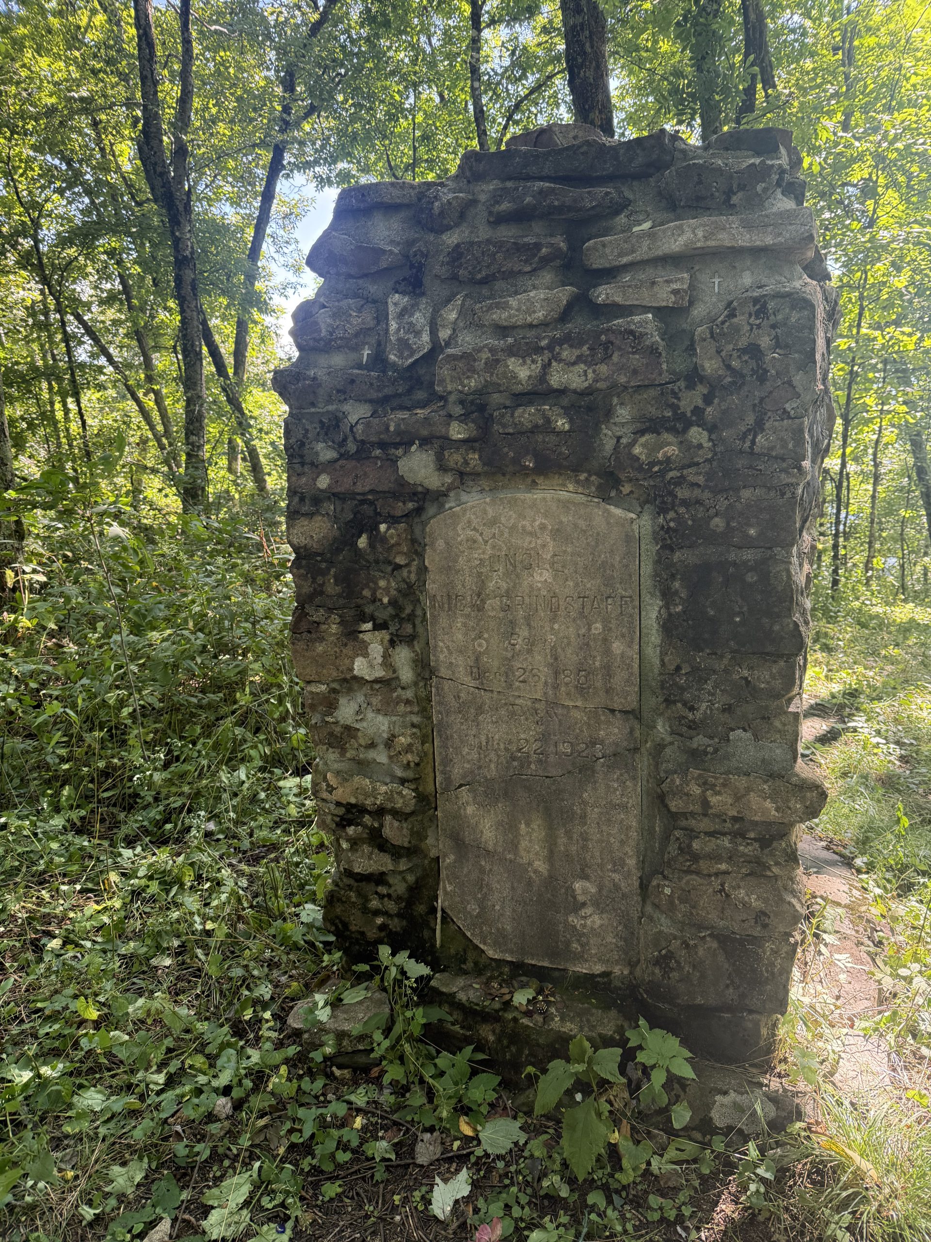
Around 6 miles in, I came upon what appeared to be an old stone chimney. I walked up to get a closer look, and to my surprise, it was a monument to Nick Grindstaff. Nick lived alone in a small cabin on the 4000-foot peak of Iron Mountain.
Then it was miles of ups and downs. I only crossed paths with an older (than me) couple, out for a day hike. I decided that my destination was less than ambitious, especially since I have a hostel stay (need to resupply) tomorrow, and I would like to arrive early. So I tacked on a couple more miles to a tent site high on a ridge, overlooking Watauga Lake. It is a lovely spot; I should sleep well.
9/9/26
14.6 miles; Black Bear Resort/Hostel
So don’t tell Mrs. Acorn this, but at 3am this morning, I woke to a rather loud crashing sound, very nearby. In my “just woke up” delirium, I thought it was a bear trying to get my food hang, so I yelled, “hey, hey, get out of here!”. But nooo, it became apparent, within the next nanosecond, that the noise was a tree crashing down, very close to me, but not on my head, thankfully! It took me a few minutes to get back to sleep, ha…I mean, whew! Anyhoo, that was last night’s/this morning’s fun. Oh, and don’t tell my Mom either!
As I left my campsite, try as I might, I could not find the devil tree that fell. Oh well, I pressed on. I had nice views down to Watauga Lake, way down below. But as I hiked on, I went down, and eventually was at the shores of the lake. I even crossed over the dam at the end of the lake. The AT wound around the lake for a fair while; it was lovely. Look up the Lake’s history; it is interesting.
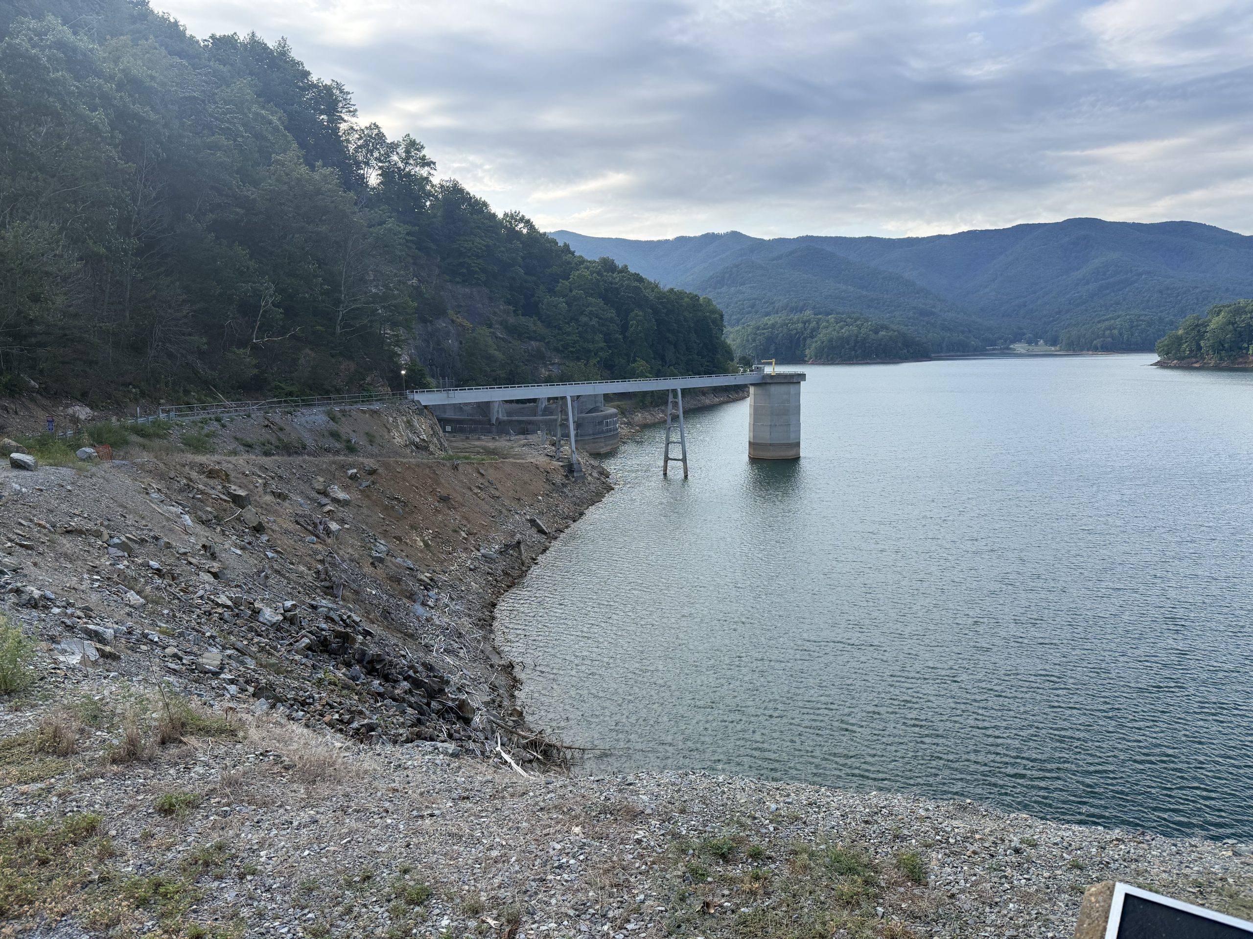
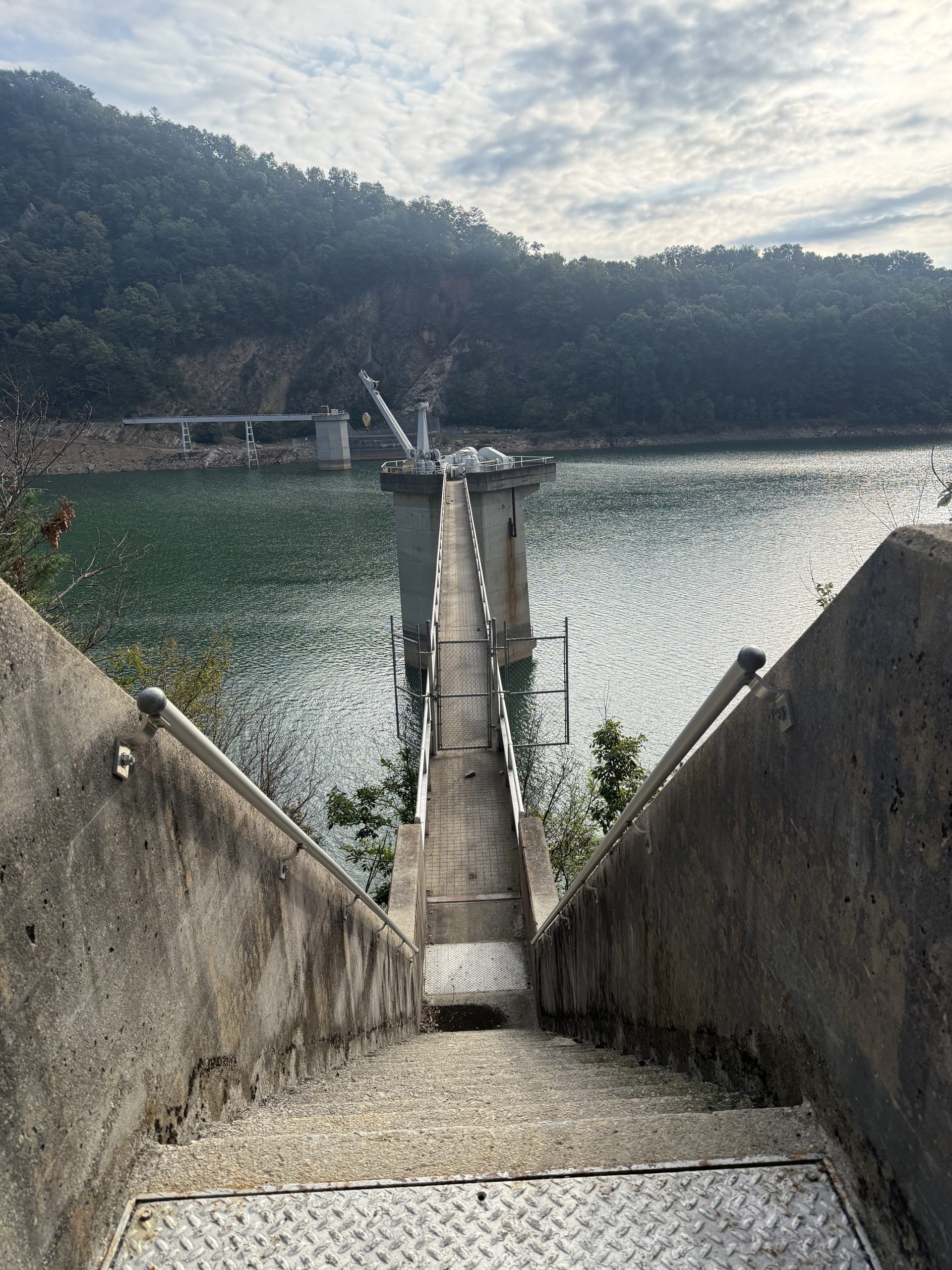
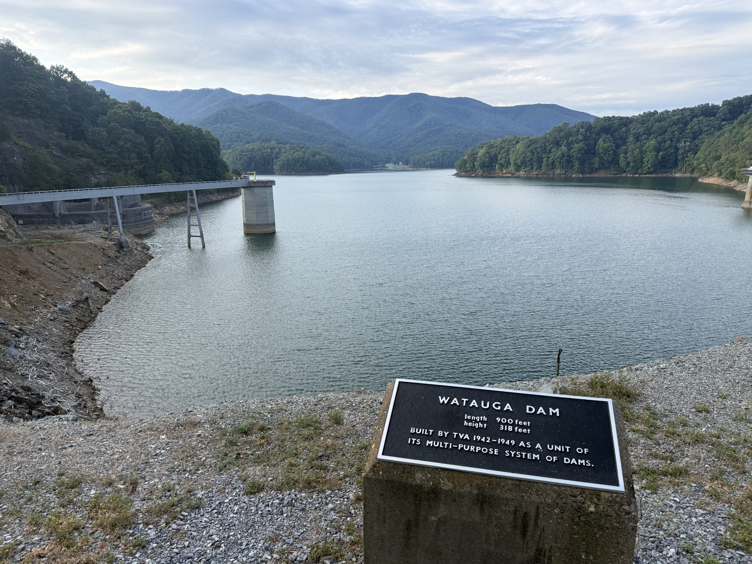
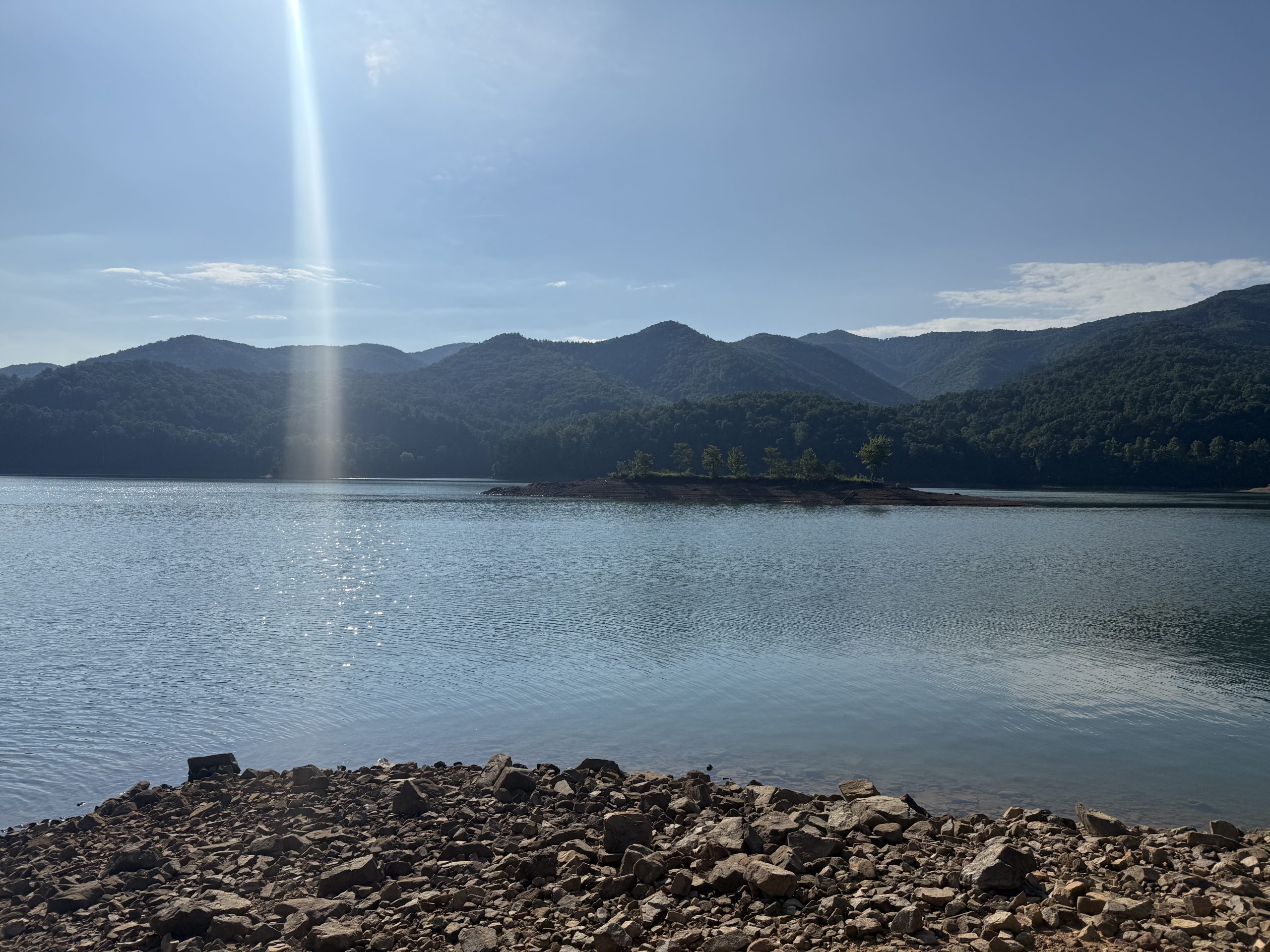
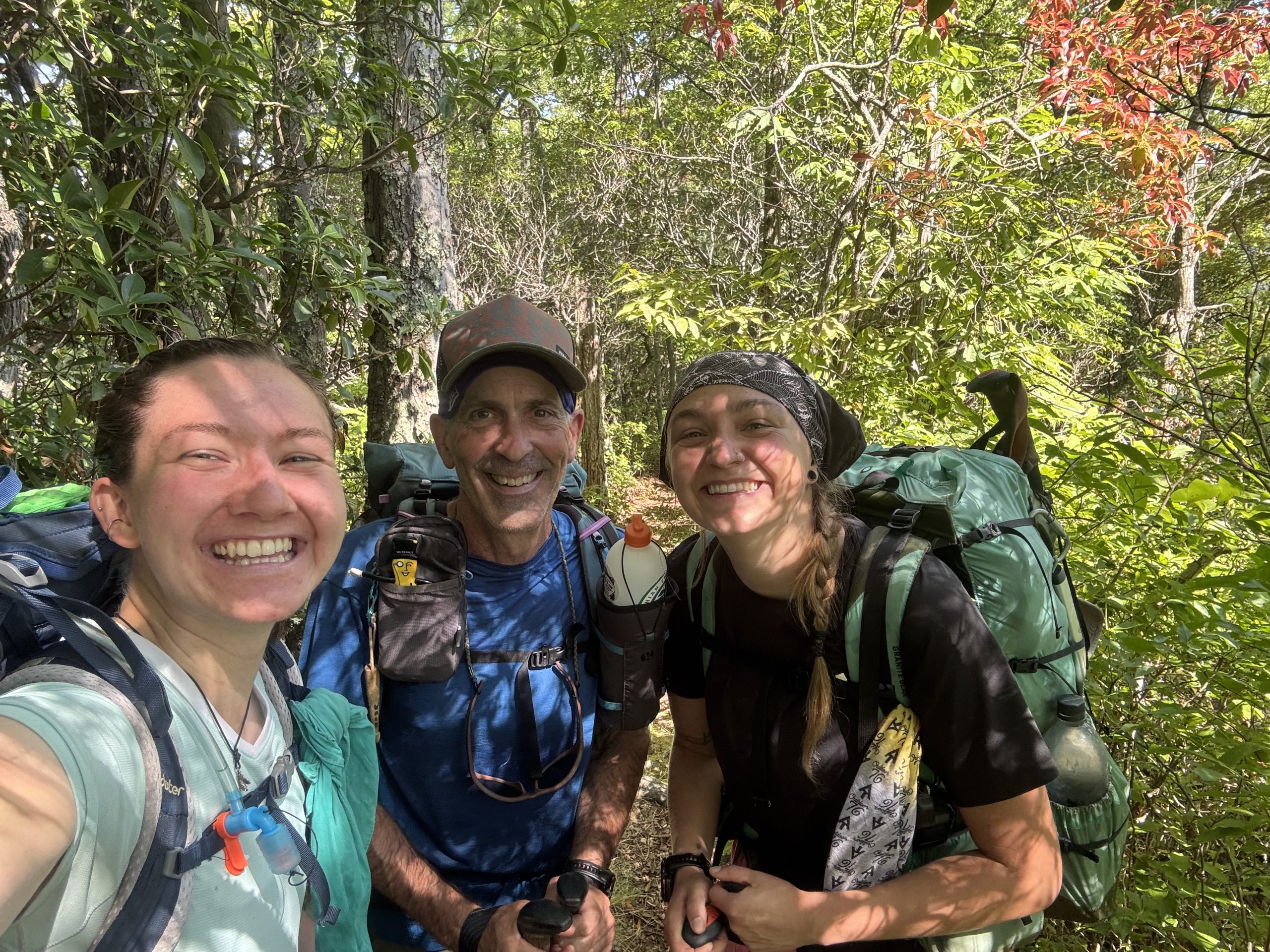
Then it was up 3 miles, but not bad, as the switchbacks were plentiful. The very best part of my day came as I was almost up the climb. As I rounded a bend, I recognized the hiker coming towards me. It was Slim Jim, and close behind was Piff. I met them in Maine, and they summited Katahdin the day before me. They are also flip-floppers, but they flipped and started the second half in Georgia, hiking north. The funny thing is, I had just thought about them two days ago, wondering if our paths would cross…and there they were. This may not seem like a big deal to most folks, but to a thru-hiker it is pure joy; I cannot really explain it.
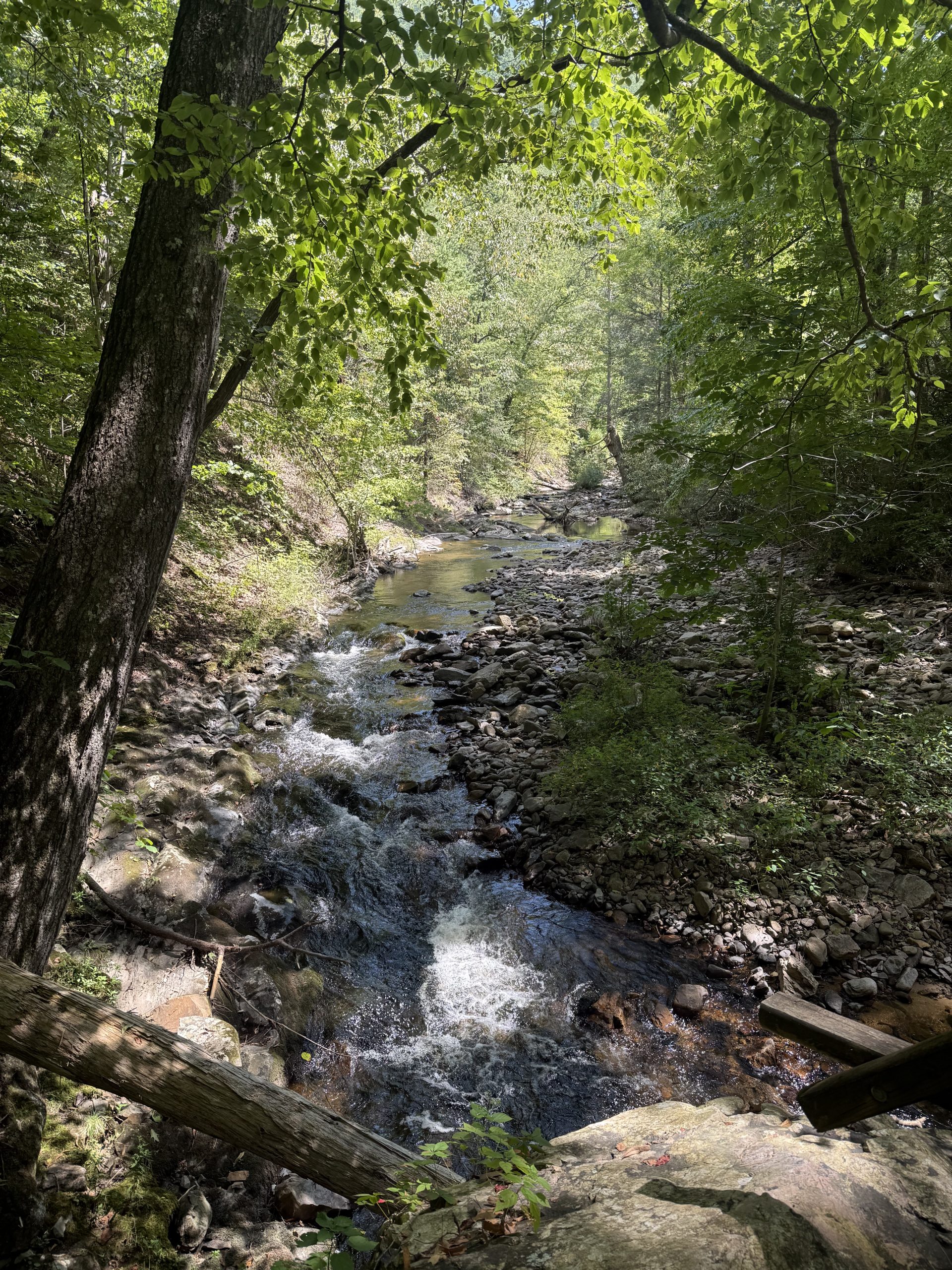
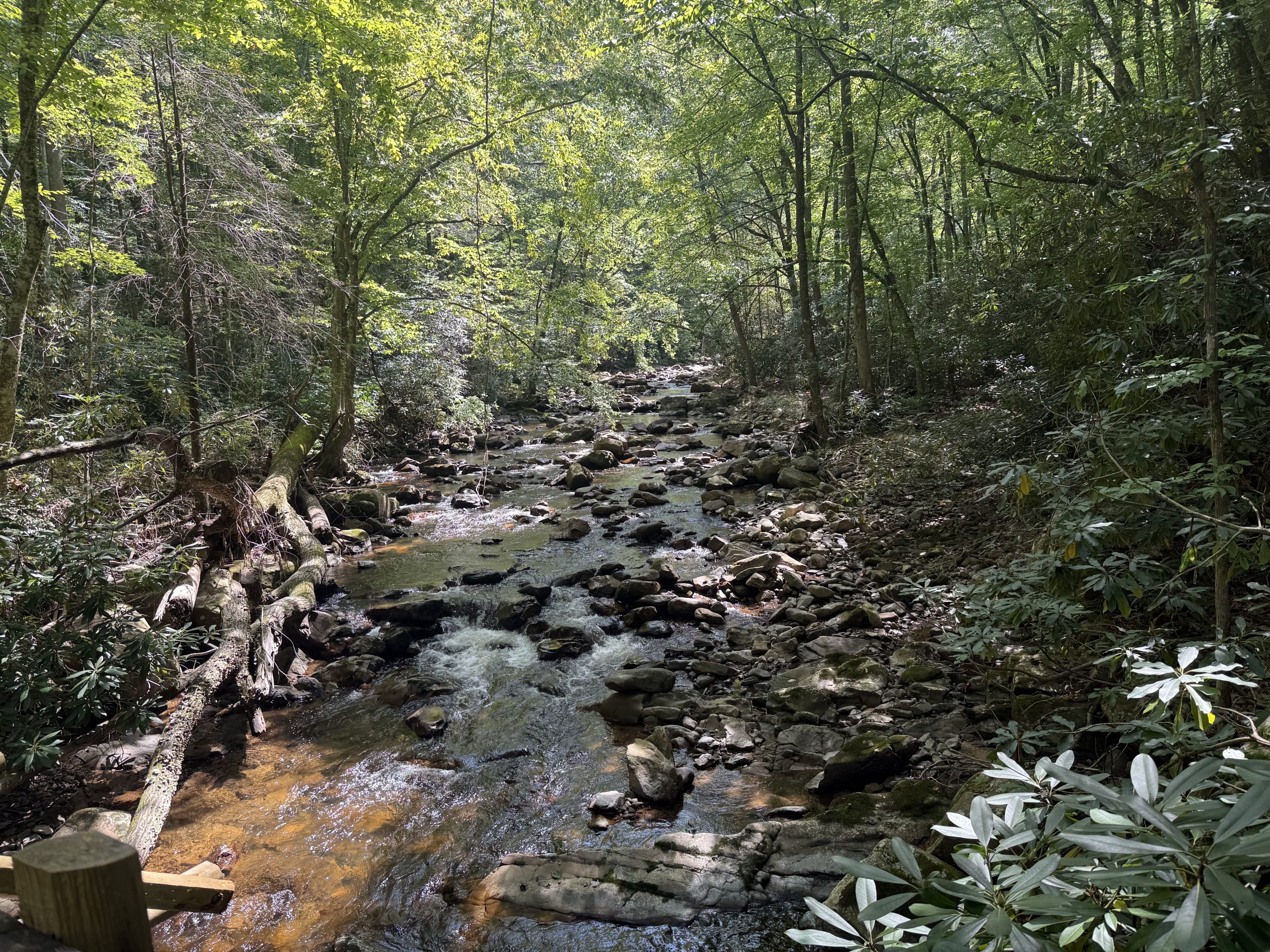
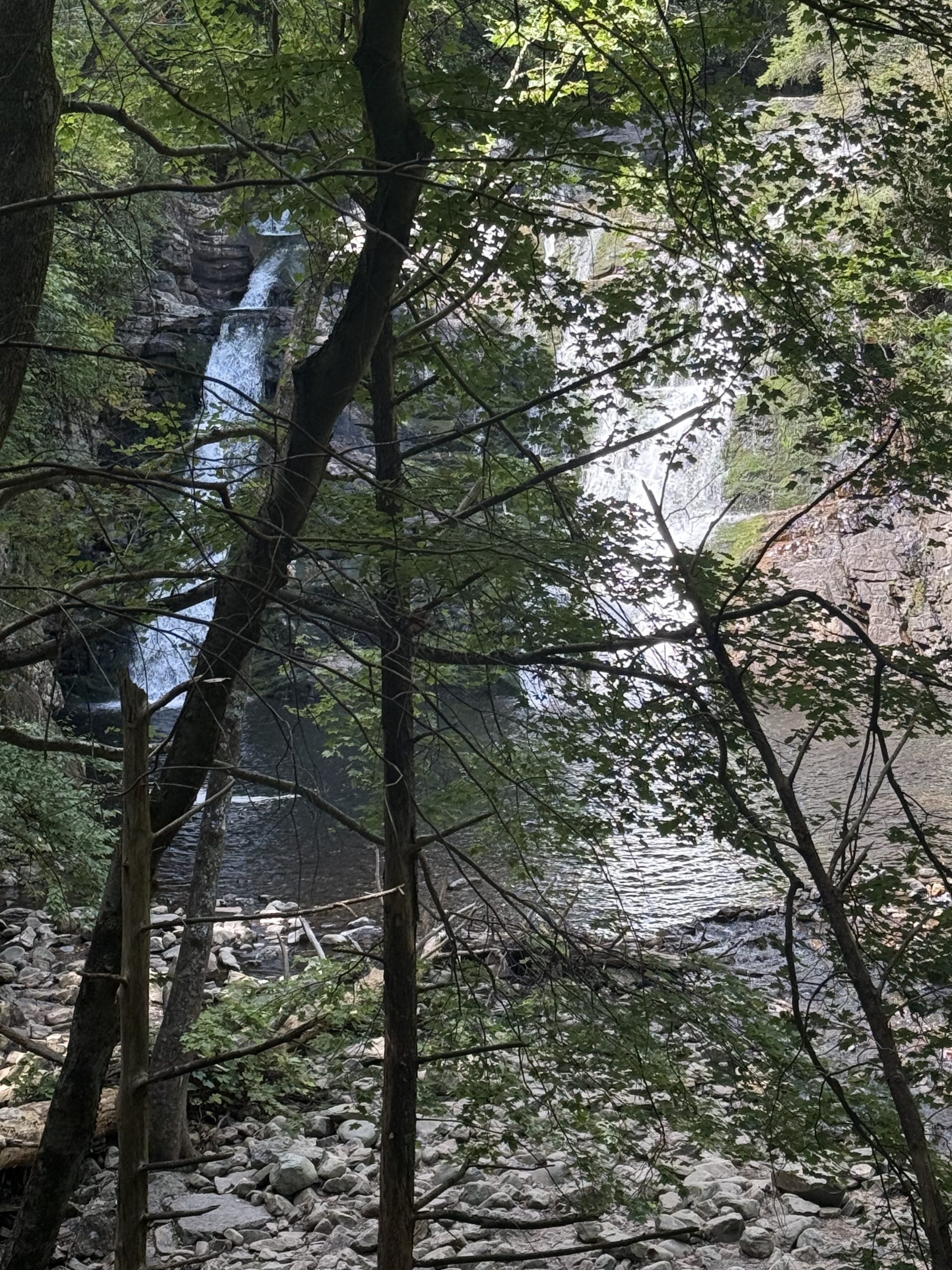
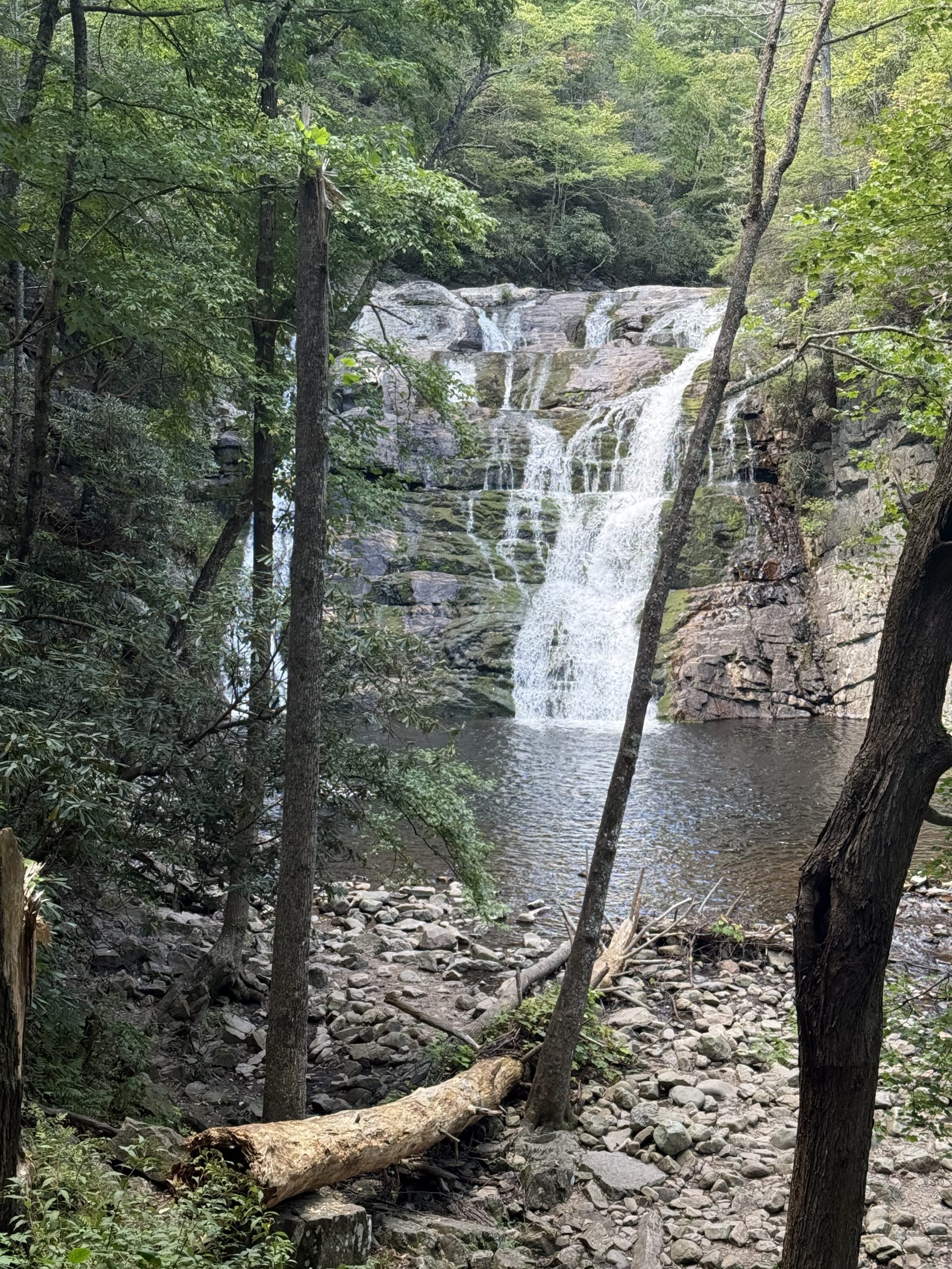
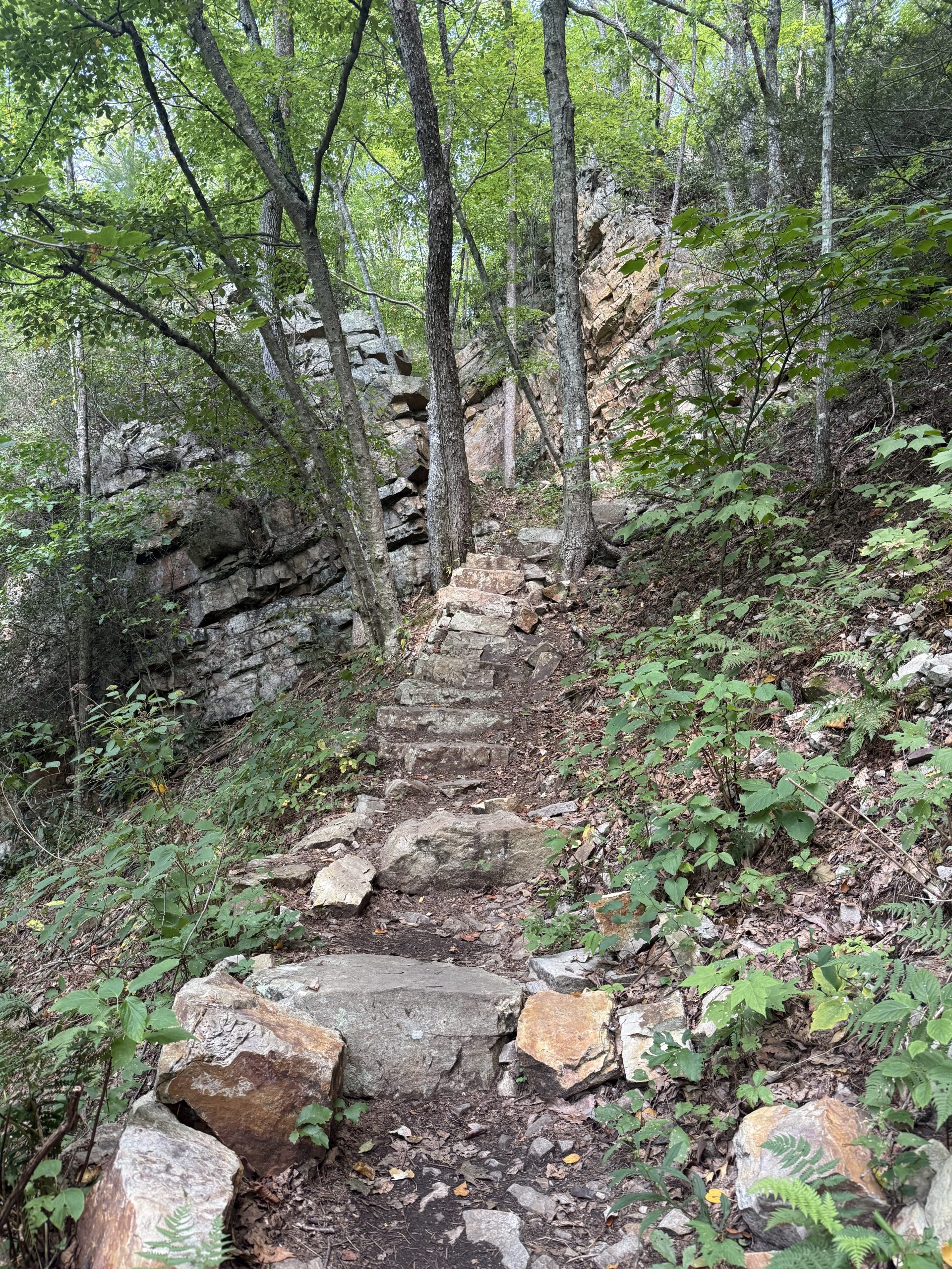
 Soon after, I was heading downhill, and the trail was smooth and cruisy. A while later, I was walking along beautiful Laurel Fork (creek) for quite a while, before coming upon Laurel Falls, which was spectacular. I am guessing about 40 feet of drop. My jubilation was soon cut short as I began to ascend the stone staircase that led steeply up from the falls. I had no clue that was coming. I finally made it to the top and then strolled through tall boulder-lined segments that eventually led to the upper trailhead.
A short 0.4 road walk later and I was at the Black Bear Resort. I needed laundry, shower & resupply. Following that, it was dinner, trail prep and to bed. The only other hiker present was “Dendro”.
9/10/26
16.1 miles; Mountaineer Falls Campsite
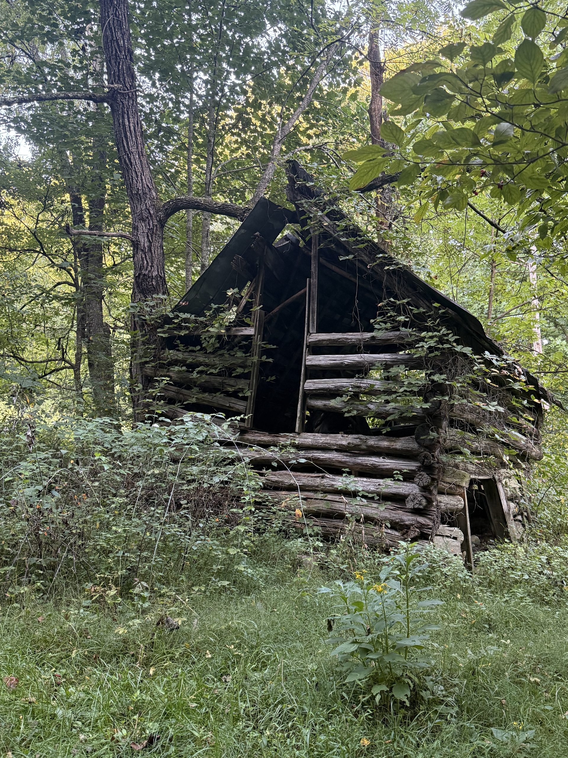
I left the Black Bear Resort around 7:30am, and got to hiking, up, of course, but the climbing was not too bad. I walked by an interesting old shack. The terrain was up & down for a long while, but fairly pleasant hiking, and it was a beautiful day & not too hot.
There is now plenty of evidence from Hurricane Helene. I could post plenty of pictures, but no one wants to relive that. So out of respect for the many folks who were affected down here, I shall refrain.
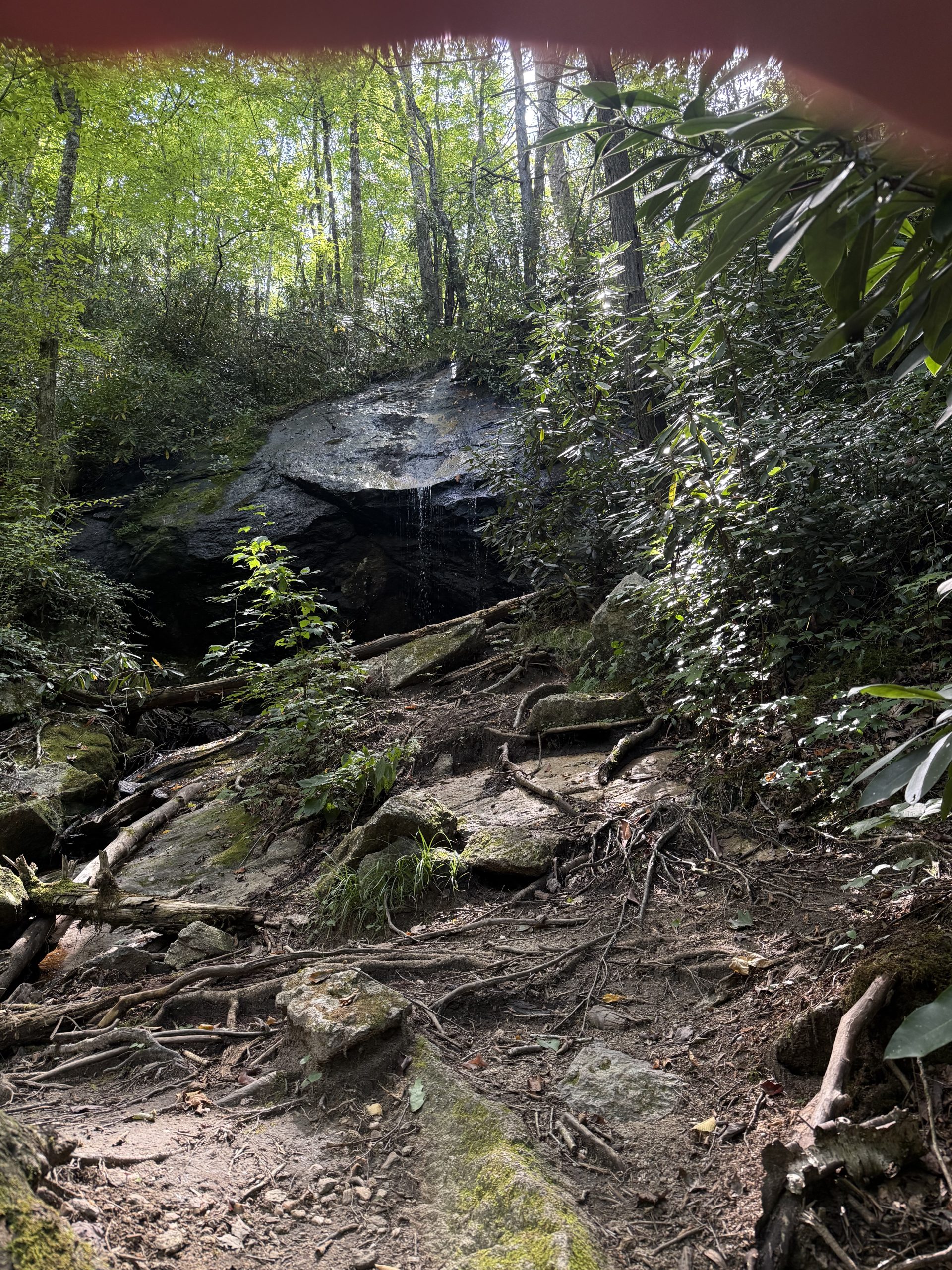
Soon I came to Mountaineer Falls, a cute little waterfall. I tanked up on H2O, and then set up camp nearby.
Hike on! Acorn

This website contains affiliate links, which means The Trek may receive a percentage of any product or service you purchase using the links in the articles or advertisements. The buyer pays the same price as they would otherwise, and your purchase helps to support The Trek's ongoing goal to serve you quality backpacking advice and information. Thanks for your support!
To learn more, please visit the About This Site page.