Top 5 Appalachian Trail Day Hikes with Unforgettable Views
This is a guest post by Amber and Joshua Niven. Amber and Joshua are the authors of Discovering the Appalachian Trail, A Guide to the Trail’s Greatest Hikes. They live in Madison County, North Carolina with their two children and can often be spotted in Hot Springs, having a beer at Big Pillow Brewing, or eating dinner at the Tavern.
Discover some of the best views that the Appalachian Trail has to offer in a single day. These five highly adored day hikes on the Appalachian Trail will cure the worst of your cabin fever, put a smile on your face, and add fresh pep to your step.
5 Jaw-Dropping Day Hikes on the Appalachian Trail
Roan Mountain | Carvers Gap to Grassy Ridge Bald
Location: Roan Mountain, Tennessee
Trailhead GPS: 36.1068, -82.1106
Distance: 4.2 miles out and back (option to extend hike)
Difficulty: Moderate due to elevation gain
Located at the convergence of the Pisgah and Cherokee National Forests is the famed Roan Highlands. The highlands are a 20-mile massif, rising above 5,0000 – 6,000 feet making them the Appalachian region’s longest stretch of grassy balds and one of the highest ranges in Southern Appalachia. The views are exceptional year-round. Throughout the summer, enjoy walking through a tunnel of rhododendron and mountain laurel blooms. You can also find an abundance of other flowering and fruiting plants like wild blueberries and bright red Flame Azalea growing throughout this area. This hike is ideal for wildflower photographers and for those seeking mountaintop views at high elevations.
Good to Know:
- This section stays between 5,500 – 5,900 feet. Be sure to dress in layers and prepare for all types of weather!
- Asheville, North Carolina, a central creative/business hub of the Appalachian Mountains, is a short drive away.
Grayson Highlands | Massie Gap to Thomas Knob Shelter
Location: Mount Rogers, Virginia
Trailhead GPS: 36.633327, -81.508759
Distance: 8.4 miles out and back (includes ascent from parking lot)
Difficulty Level: Moderate
The hike from Massie Gap to Thomas Knob Shelter is great for hikers of all ages. Majestic wild ponies roam the highlands and are often seen grazing alongside the trail. Unique rock outcrops and expansive sweeping views can be seen from the majority of this section. It’s a beautiful hike to take any time of year. During late spring, you will find vibrant Rhododendron blooms, and in the summer, blueberries line the path. See the colorful Fall foliage and in the snowy mountain tops during the wintertime.
Good to Know:
- Grayson Highlands State Park is open to day-hikers from eight a.m. – 10 p.m.; an entrance fee is required.
- There are several campgrounds located inside the park.
- Be prepared for cool, windy, and potentially inclement weather as this hike traverses above treeline in lofty lands.
Dragon’s Tooth | Newport Road to Dragon’s Tooth
Location: Virginia
Trailhead GPS: 37.371613, -80.149864
Distance: 5 miles out and back
Difficulty Level: Difficult due to technical terrain
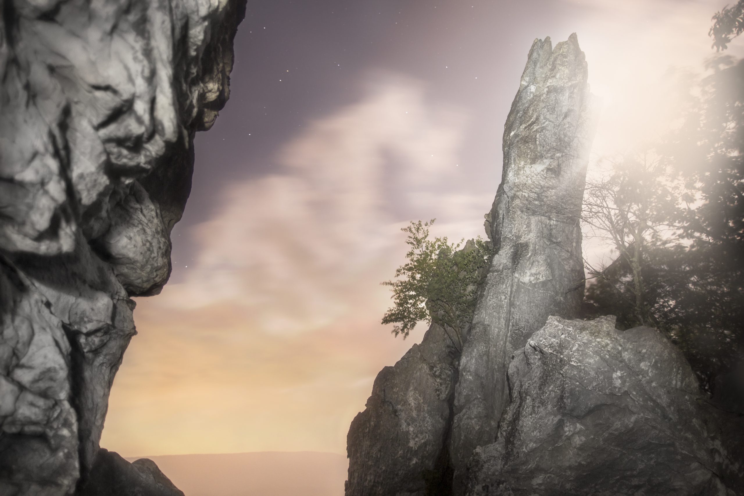
Imagine being plucked out of modern times and dropped into a breathtaking prehistoric landscape. That’s what this surreal environment feels like to us. Those who are geologically minded will love the short climb to a giant stone monolith resembling the tooth of a dragon, hence its name. This hike is short but sweet. The uphill climb provides a great opportunity for some strenuous exercise with a major payoff at the end.
Good to Know:
- Parking at Newport Road is limited. There is an option to start at the Dragon’s Tooth parking lot and trailhead, which will link up with the AT on the way up the mountain, but parking at Newport Road is ideal for avoiding crowds.
- This is one of Virginia’s most popular hikes. Try visiting during the week if you are seeking quiet and solitude.
Mount Moosilauke | Kinsman Notch to NH 25
Location: New Hampshire
Trailhead GPS: 44.0398, -71.7921
Distance: 9.3 miles one way
Difficulty Level: Strenuous due to steep, technical terrain and alpine conditions.
Hiking Mount Moosillake is perfect for avid hikers looking for a challenge and for those seeking a great view at a high elevation. You will pass beautiful cascades as you ascend, making your way to the 4,802-feet summit. Enjoy the panoramic views for as long as you like. Be prepared for chilly weather as the top is often windy. This is a very challenging hike, and although there are alternate routes up Mount Moosilauke, none are as rewarding as this one. Be sure to have your transportation figured out.
Good to Know:
- Contact the Appalachian Mountain Club to schedule a hiker shuttle by calling (603) 466-2727.
- Fires are not permitted above treeline.
Katahdin | Katahdin Stream Campground to Baxter Peak
Location: Maine
Trailhead GPS: 45.8872678, -68.9967133
Distance: 10.4 miles out and back
Difficulty: Strenuous due to challenging, technical terrain, and steep, swift elevation gain
This list would not be complete without the granddaddy of all AT hikes. Soaring to a grand height of 5,268 feet, Mount Katahdin, the highest peak in Maine, truly lives up to its name. “Katahdin,” named by the local Penobscot Indians, means “the Greatest Mountain” in Algonquian. It marks the northern terminus of the Appalachian Trail and is the crown jewel of Baxter State Park. This strenuous climb packs a lot of punch with picturesque views of Katahdin Stream Falls, life-size granite boulders, and a rewarding finish with 2.4 miles of hiking above treeline. Much of this hike is above the treeline, so be prepared for all types of weather. The trail is hardly on a smooth path—it’s mostly rocks, roots, and mud. Expect to use your hands and some upper body strength to pull yourself over boulders.
Good to Know:
- Trails to Katahdin close in October and don’t open again until the snow has melted (typically late May–June)
- Blackflies swarm in the summer. Consider bringing a bug net.
- Fires are illegal outside of designated overnight sites.
- Alpine vegetation is fragile. Please stay on trail, especially above treeline.
- Baxter State Park requires all hikers to obtain an AT Hiker Permit card at the Katahdin Stream Campground ranger station before hiking to Katahdin. Hikers must also sign in and out at the trailhead register before and after their hike. For park information and reservations, call (207) 723-5140 May–October. Making reservations in advance is strongly recommended.
- Inclement weather may prompt trail closures. Weather reports along with “trail status and alerts” are posted at the ranger station daily at seven a.m.
And just for fun, we added Charlie’s Bunion as an honorable mention to the list because every hiker deserves to drink a view of the Great Smokies.
Charlie’s Bunion | Newfound Gap to Charlie’s Bunion
Location: Great Smoky Mountains, Tennessee
Trailhead GPS: 35.6112, -83.4257
Distance: 8.0 miles out and back
Difficulty: moderate due to elevation gain
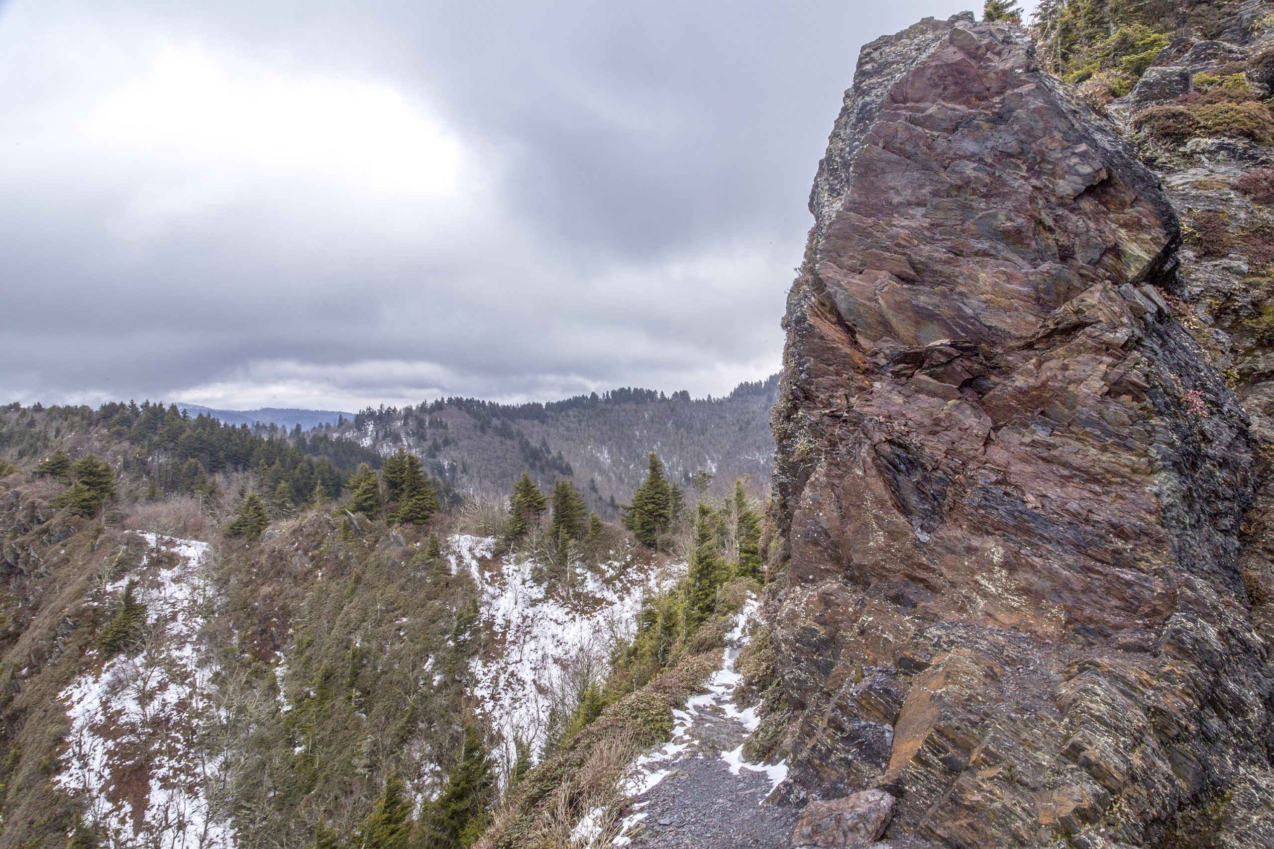
The view from Charlie’s Bunion is beautiful year-round; however, fall is an exceptional time to experience this craggy vista. Leaf-lookers, this one’s for you!
You will begin at Rockefeller Monument where President Franklin D. Roosevelt formally dedicated the Great Smoky Mountain national park in 1940. Follow the white blazes to the outcrop for wide-sweeping views of one of the most popular national parks in the nation. As you hike north on the AT you will encounter several trail junctions that lead to more spectacular views of the Smokies including Mount Leconte and The Jumpoff.
Good to Know:
- Except for the Gatlinburg and Oconaluftee River Trails, dogs are not allowed on hiking trails in Great Smoky Mountains National Park.
- There are restrooms at the Newfound Gap parking area.
- Newfound Gap receives a lot of snow during the winter. Be sure to check for road closures if you plan on hiking during the cold season.
- You can view a “Fall Color Report” at smokiesinformation.org.
READ NEXT – Great Smoky Mountains NP: Must-See Day Hikes on the Appalachian Trail
If you feel inspired after reading about these destinations then you may enjoy our upcoming book, Discovering the Appalachian Trail, A Guide to the Trail’s Greatest Hikes, releasing on June 1, 2022, with Falcon Guides. Whether you’re itching to explore these hikes in more detail, discover new ones, or learn how Charlie’s Bunion got its name, we encourage you to put Discovering the Appalachian Trail on your wishlist. To learn more or to pre-order your copy, visit www.discoveringtheappalachiantrail.com.
Happy hiking,
Amber and Joshua Niven
About the Authors
Joshua Niven was born in Germany and raised in the hills surrounding Charlotte, North Carolina. Joshua graduated from the Savannah College of Art and Design with a degree in photography in 2012. He completed the entire Appalachian Trail on foot in 2013 and self-published a photography book with over 150 images that he made during his thru-hike. In addition to making artwork, Joshua owns and operates Asheville Fine Art Printing, where he helps reproduce and facilitate other artists’ work.
Amber Adams Niven grew up in the heart of the Great Smoky Mountains, where she developed a deep love for nature and hiking at an early age. At twenty-six, she backpacked over 1,400 miles of the Appalachian Trail from Maine to Virginia with her family. Amber’s journey on the AT resulted in a move to western North Carolina, a few years of soul-seeking, and a venture in creative entrepreneurship. Amber is a mother, certified yoga teacher, and lifelong journal keeper.
Featured image: Graphic design by Jillian Verner. All photos, including featured image, courtesy of Joshua Niven.
This website contains affiliate links, which means The Trek may receive a percentage of any product or service you purchase using the links in the articles or advertisements. The buyer pays the same price as they would otherwise, and your purchase helps to support The Trek's ongoing goal to serve you quality backpacking advice and information. Thanks for your support!
To learn more, please visit the About This Site page.


Comments 8
Thanks for adding to my to do list. Can’t wait to get started!
These are some great ones! Sharing with my hiking buds now!
Breathtaking for sure. Time to plan a hiking trip!
Yesss! Putting these on our list!!
Can’t wait to do the Maine hike! It’s on my bucket list❤️
Charlie’s Bunion is the best!!!