 ">
">
Traversing the Smokies pt. 1: AT Days 15-16
Day 15: Fontana Marina to Spence Field Shelter; 19.4 miles
After being dropped off back at the Marina parking lot, Penguin and I followed the AT up to the Fontana “Hilton”, a shelter featuring nearby showers and charging cables. Trail Candy, Studebaker, and Ninja/Freud (trail name still up in the air) were hanging out at the shelter after camping there the night before.
We all talked briefly about our previous nights and our upcoming plans for our trek through the Smokies. Eager to begin hiking, I was the first to head off down the trail, pumped to finally cross the Fontana Dam and begin the ascent up into the Smokies. I bid farewell and good luck to my friends, unsure of when exactly I’d see them next. My four-day traverse of the Smoky Mountains was officially underway.
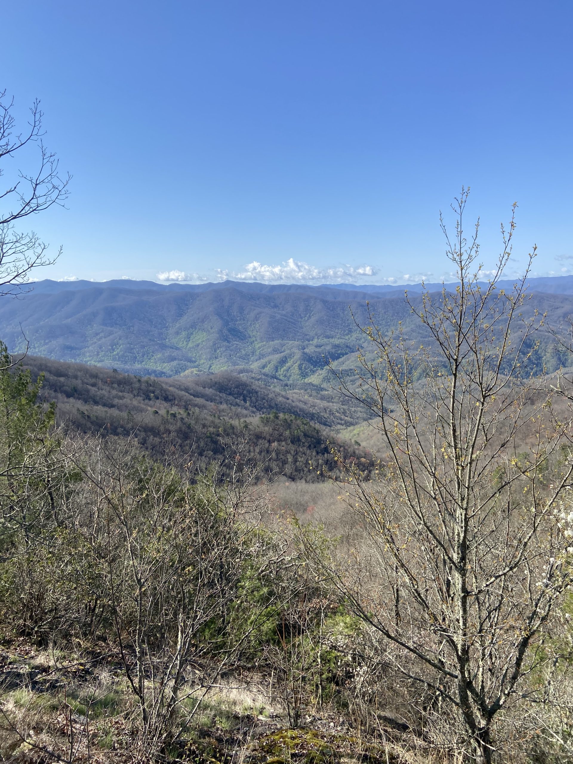
Once past the dam, the AT gains over 2,000 feet of elevation in roughly 4 miles. Reaching the top of the ridge, I opted to take a short side trail to the Shuckstack fire tower, which was well worth the hike for the 360-degree views of the Dam down below and the surrounding mountains.
The AT continues to gradually climb to above 4,000 feet, where it remained the majority of the day. Purple “Spring Fever” flowers and vibrant green patches of grass lined the trail for the majority of the hike, showing the first signs of spring high up in the mountains.
Most of the trail was flat with a few short but steep bursts of uphill. The combination of the easier terrain, smooth trail, and captivating scenery made the miles fly by. Just over 19 miles in for the day, I arrived at the Spence Field Shelter to set up camp for the night.


Day 16: Spencer Field Shelter to Mt Collins Shelter; 19.1 miles
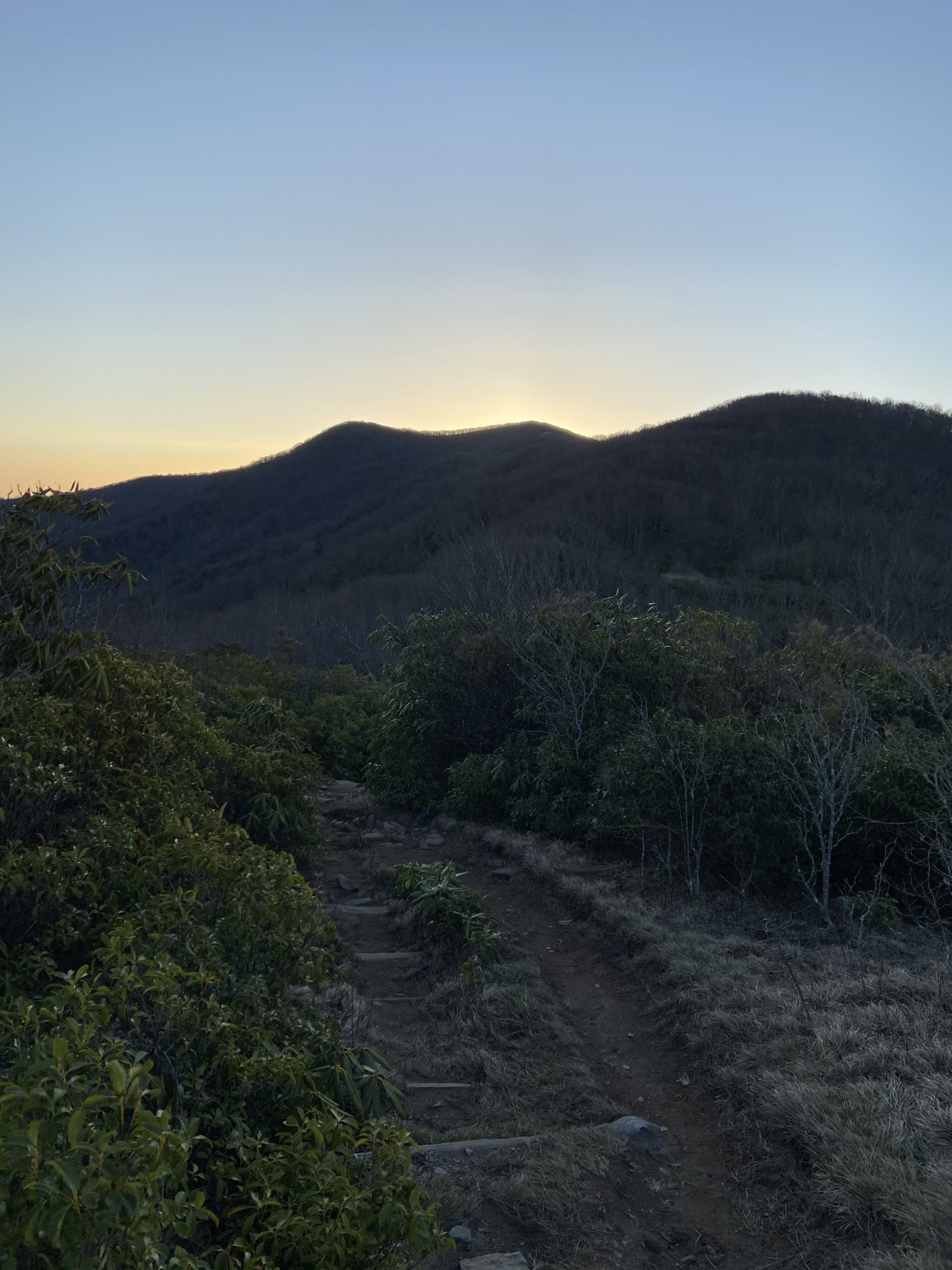
Stoked for the big day ahead of me, I was on trail hiking by 7, just as the sun was beginning to rise over the mountain tops. Right out of the gate, the AT instantly climbs to above 5,000 feet to hit the consecutive summits of Rocky Top and Thunderhead Mountains; both open, grassy bald summits with stunning views.
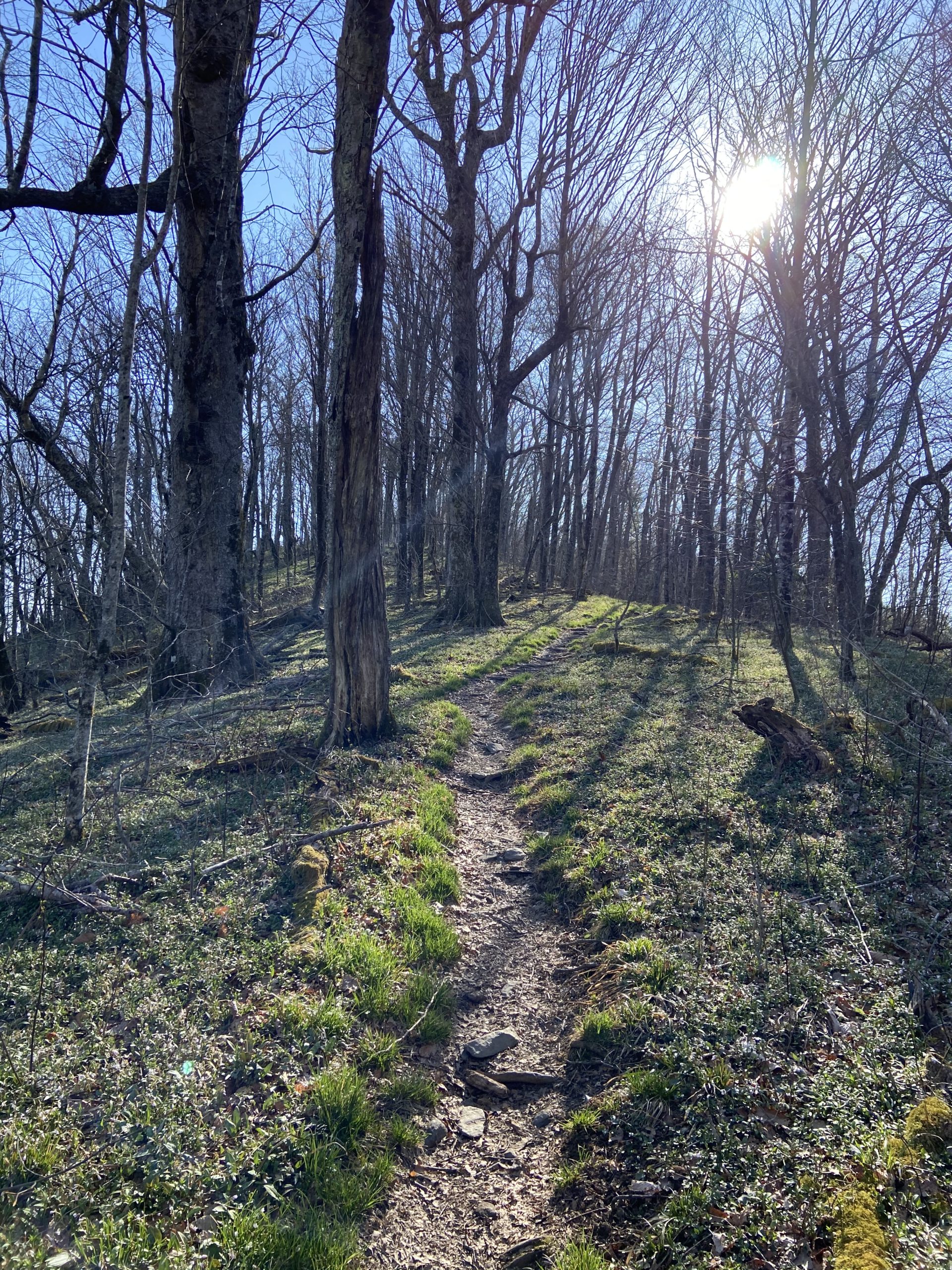
From there, short but steep bursts of ups-and-downs were consistent for the next several miles; with the occasional flat stretch thrown in-between. Slowly but surely, the AT reaches the 5,500-foot peak of Siler’s Bald, where it would remain above 5,000 feet for the rest of the day as I crept my way toward’s Clingman’s Dome.
A couple of miles out from Clingman’s Dome, the trail reaches the 6,000-foot mark and meanders its way through stunning, moss-covered Spruce-fir forests. The dark, ominous spruce forest slowly began to dwindle as I climbed higher and higher, and I soon found myself at the iconic Clingman’s Dome. At over 6,600 feet, this massive observation tower acts as both the highest point on the AT and the 200-mile marker. Needles to say, the views were spectacular.
A rocky descent and a tough final push up and over Mt. Collins led me to the Mt. Collins Shelter, where I was calling home for the night. I set up camp and hung out with the few other hikers who were already at camp. My legs were pretty beat from the back-to-back big days, but nothing a good stretch and a restful night of sleep couldn’t fix.


This website contains affiliate links, which means The Trek may receive a percentage of any product or service you purchase using the links in the articles or advertisements. The buyer pays the same price as they would otherwise, and your purchase helps to support The Trek's ongoing goal to serve you quality backpacking advice and information. Thanks for your support!
To learn more, please visit the About This Site page.

Comments 8
KING
So scenic!
Your writing is easy to read and pictures are great. I’m enjoying following you. Good Luck.
DMFINO
I appreciate your support!
Good to see you’ve had some gorgeous weather along with the inevitable rain and schlock. Lovely photographs.
Steve
I really enjoyed your writing and pictures. My section hike this year is from Fontana Dam to Sam’s Gap just north of Hot Springs and it was really nice to come across your blog for a little insight on things to come. I’m excited for more of your posts and I’m cheering you on 100%!
Cubby Bear
Thank you for the support, Jared!
Thank you for your good notes and wonderful pictures. Be safe?