 ">
">
Walk the Line – Johnny Cash
North Carolina Part 3 – Tennessee Part 1
Appalachian Mountains as State Lines
The AT generally follows the ridges of the Appalachian Mountains. They also often are what help to form state lines. It isn’t always clear as to where you are whilst hiking as there aren’t any signs or markers until you reach roads. At the roads you would usually see a “Welcome To” sign for either state. The first welcome to TN moments take place for north bound hikers in the Smokey Mountains and continue all the way to mile 392 where you finally move away from NC.
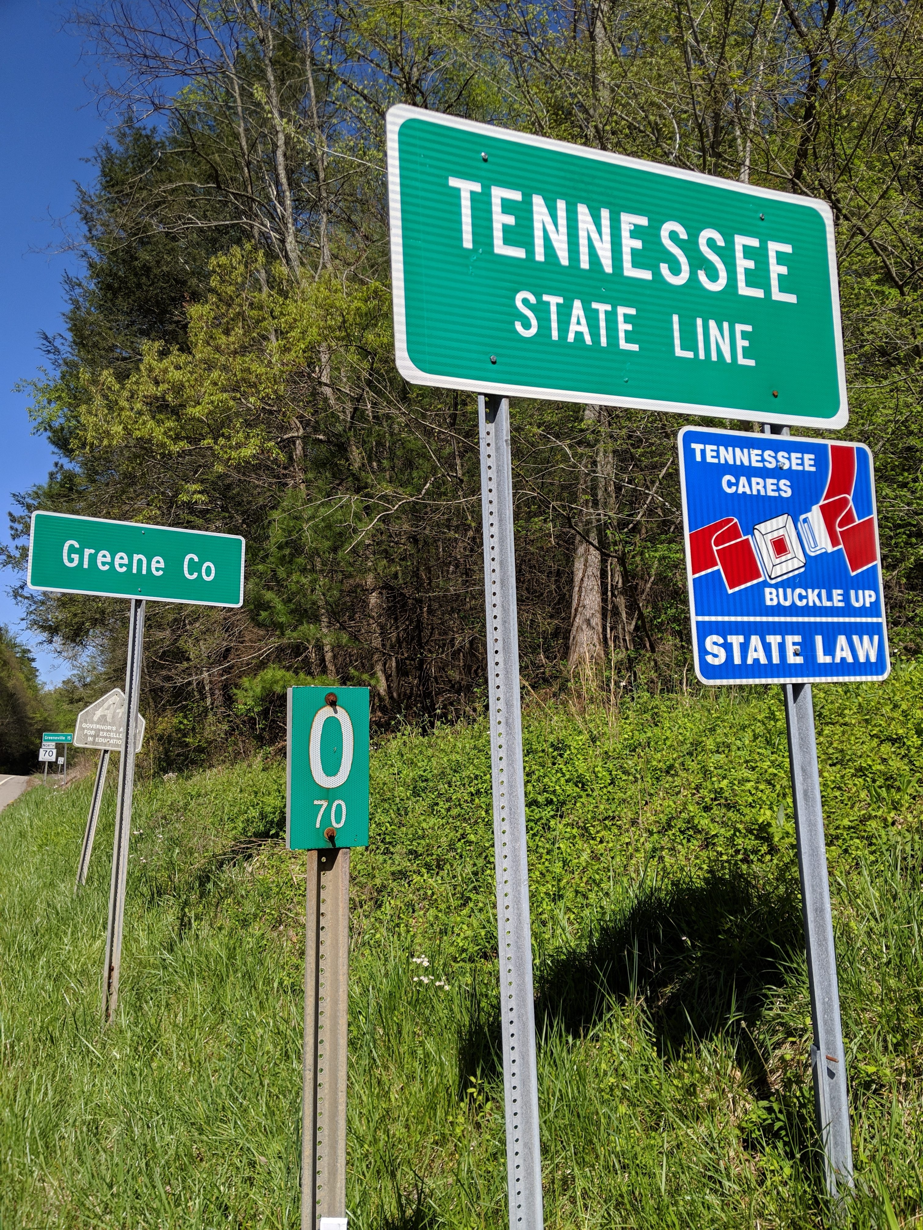
One of the Many State Boundary Signs on the Section
This has been a tease for hikers as you are desperate for another state boundary to tick off you 14 strong list. It has also meant resupplies take place in both states depending on whether you go left or right towards towns upon reaching roads.
Standing Bear Farm Hostel Resupply
Once I finally made it out of the Smokies I looked ahead to my next major destination. This was Hot Springs, NC. I would need more food in order to get there and I was happy to resupply a few basic essentials at the Hippy Commune turned hostel that many hikers use as a resting point after some challenging terrain.
Of course I also took advantage of stopping there for lunch to gorge on crisps and soda. In general it is wise to intake nutritionally rich calories, but at this point any calories can help. I knew I was losing weight and fast, but not to what extent.
MJ and Rev were suggesting I stay at the hostel with them for the night, but I stubbornly decided to push on. The walk down from the Smokies was fairly easy and I was energised to push on.
The Smokies are just the Beginning
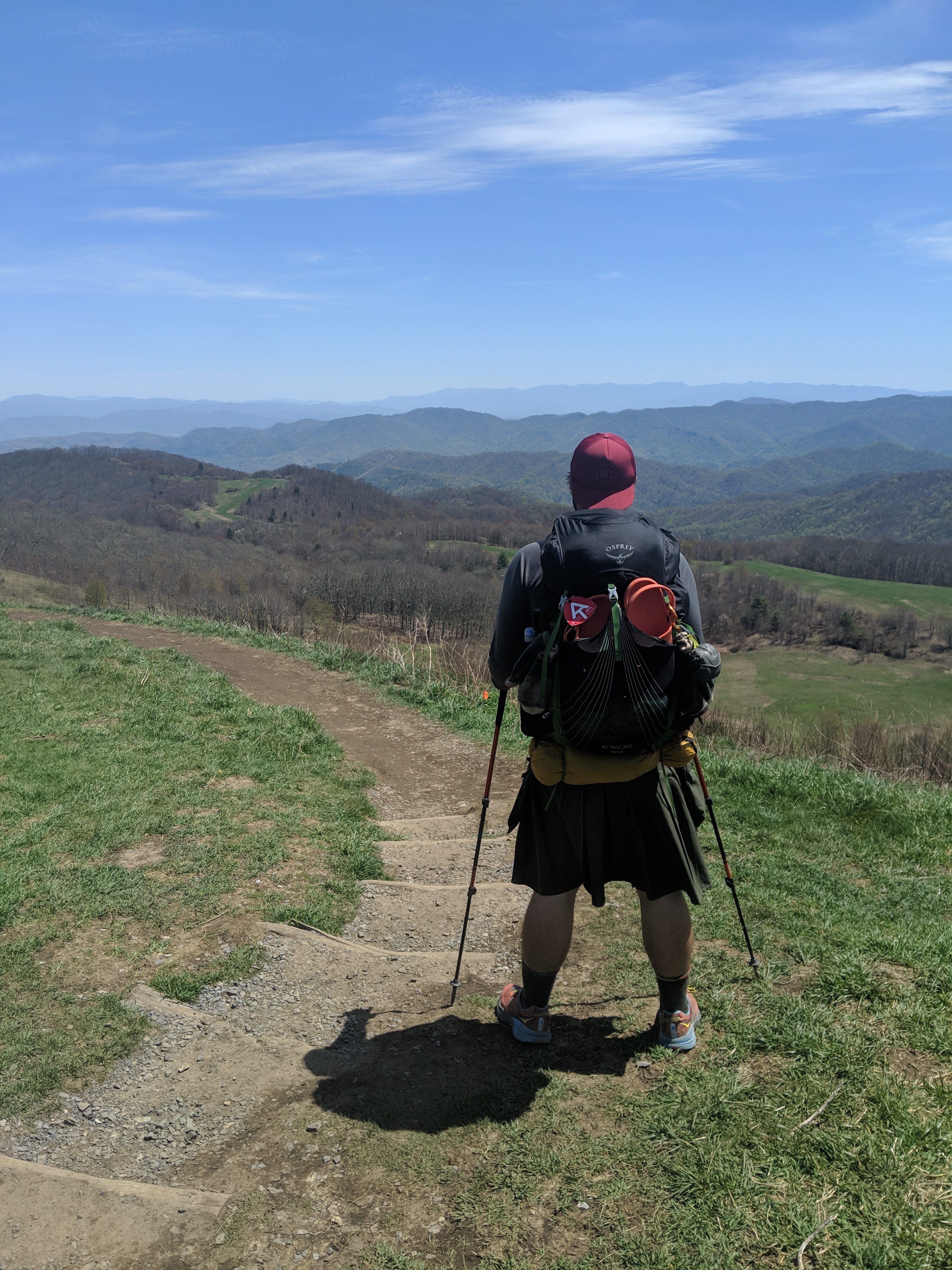
Revitalised from the empty calories I hiked up and over Snowbird Mountain. This proved that the going stays tough. A five mile constant uphill gaining around 2,500ft in elevation kicked my butt. The summit was a grassy bald with panoramic views of the surrounding area.

Snowbird Mountain After a Tough Climb
I stopped and spoke with a hiker named Luke Walker who had set up camp. He is hiking because he has terminal Leukemia. He decided to show the hospital workers who suggested he wouldn’t make 20 miles what he is made of. I met him at mile 246. I enjoyed speaking with him and since then it has reminded me to take the time to enjoy everything I come across.
A final 2.5 miles was made to the next shelter, pulling into camp at the latest time so far. I arrived after 7pm and I felt rushed to stretch, eat, and prepare for bed. I did make time to talk with several hikers I hadn’t yet met. The shelter was unoccupied except for me that night, which was very peaceful. I was also treated to the night sky littered with stars amongst the tall pine trees of the forest.
When it was time to use the privy I couldn’t help but laugh at the very central location between the bear hang cables, the shelter, and tenting locations. You could do your business in privacy, but to take your trousers down you had to show some flesh.

Public Privy #1
The Road to Hot Springs
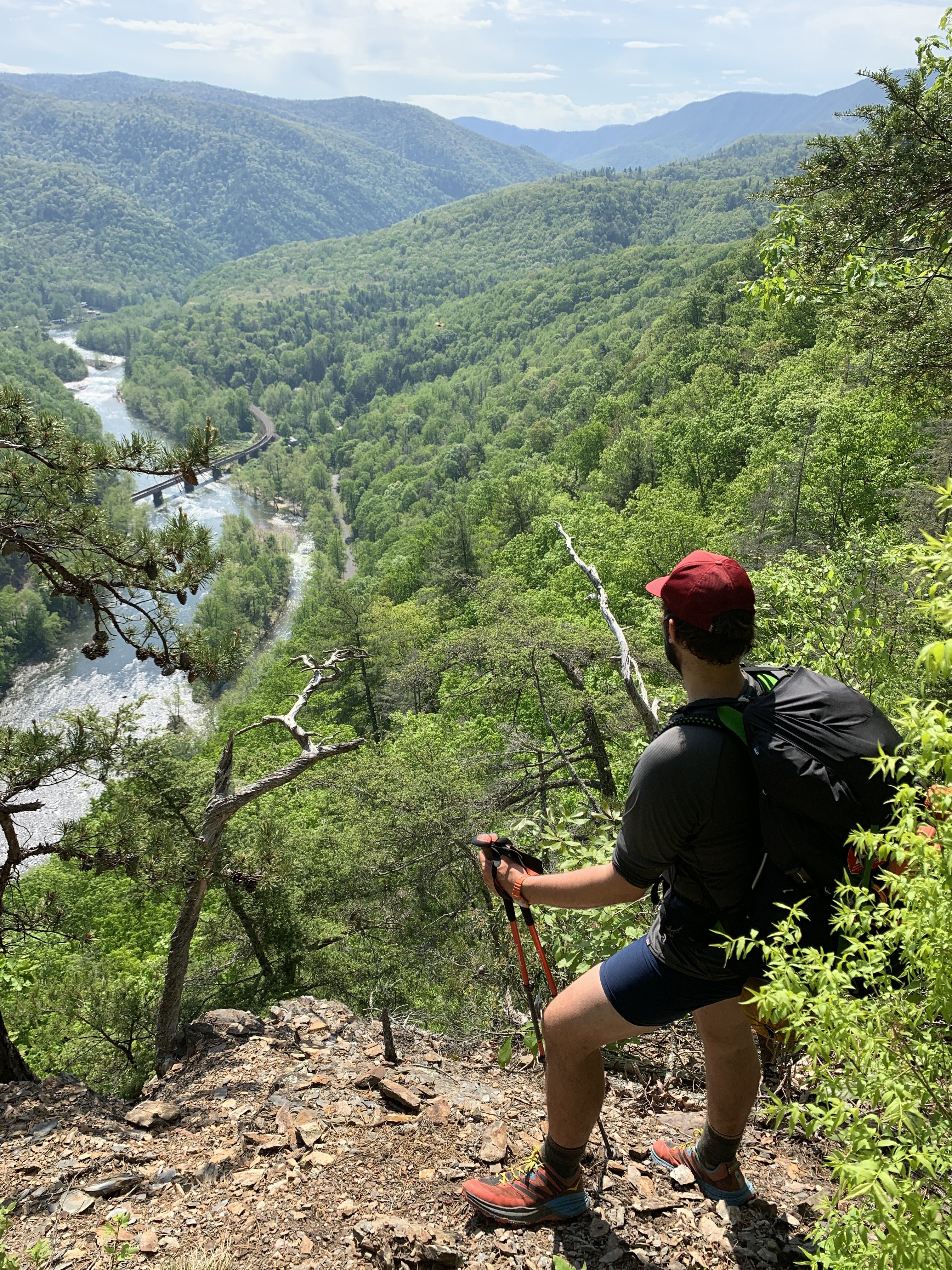
I hiked on to Max Patch for lunch. This is a popular spot for thru-hikers and locals alike. The climb made you work for the views, but a summit at 4629ft with a 360 degree view from the grassy bald was epic. I sat and ate my lunch, stretched, and took in everything around me.
Leaving Max Patch
At one point I noticed a strange pile in the grass in front of me. I went to investigate and it was clear it was vomit. This meant that Norovirus (Noro) was probably around. This is the dreaded Nemesis of hikers. Having a stomach bug at home is fine, but in a shelter or in the middle of a 15 mile hike is not.

A Nice Bit of Nature and not Vomit
I pushed on to Walnut Mountain Shelter through a winding forest that was just starting to show any signs of colour in the canopy. It was a warm and pleasant afternoon and whilst refilling my water I met a section hiker couple. Originally New Yorkers, they lived down south and were hiking each year to tick off more of the AT.
Walnut Mountain
The final climb up Walnut Mountain for this day took all my energy to achieve and I felt very lethargic as I forced my way up. As the shelter was only around the corner I pushed on to the grassy summit and took stock of the surrounds before heading just below the summit.
Are Privys a Communal Activity?
The first thing one notices about this shelter is that the privy doesn’t have a door and the open front is directed right towards the descent from Walnut Mountain. If you timed your bathroom visit wrong you were in danger of appearing to hikers as a living “How To” guide.

Public Privy #2
Section Hikers
I set up my tent near a section hiker with an excitable puppy who loved to bark. Her name was Daisy, but I gave her the name “lady barks a lot.” Her weakness was sticks so I threw a couple in order to ingratiate her to my presence. The hiker felt bad that she was barking, but it was her first section hike with him.
We spoke about the sections that he has undertaken and the responsobilities that prevent him from doing more each year. In these recent days it became more and more apparent that the only thing that separates the thru-hiker from the section hikers is free time. This made me feel fortunate to be on this journey, but also I was humbled that they get to enjoy the AT community over many more years.
The New York Couple also came to camp and after the barking greeting I was talking with them about their hikes. They spoke fondly of the blackberry shakes in the Shenandoah’s, getting fit each year, and winter hiking in the Smokies. In fact the female hiker was a member of the 900 milers in the Smokies. She has hiked every trail in the park totalling 900 miles. She then casually mentioned she was 73. Firstly she didn’t look anything near that age, and secondly she hiked with more grace and strength than I did. Maybe her secret was the milkshakes.
NoroVirus all Around
When I got up in the morning I packed up and headed out towards Hot Springs, a mere 13 miles away. I noticed ‘Double Love’ in the shelter asleep with her dog ‘Dr Phil’. I’d met her at the previous shelter and she had been camping the night before. I was confused as to why she had moved to the shelter by herself. I found out later she was sick and wasn’t feeling good. She got picked up at a nearby road to recover. (At time of writing she is well and hiking well).
There was a small summit to make first thing, but morning climbs are always the best for me. I’m rested and have a full stomach. From there it was downhill the rest of the way, with plenty of springs and streams to fill my water. I walked with excitement for the food, the zero day I was to take, and not having to get off trail to go to town.
Hot Springs on the Trail
This town is the first of many that the trail literally goes through. I checked in at the hostel and did laundry. I got some loaner clothes and realised for the first time how much weight I’d lost. Weighing myself, I saw that I was 16lbs lighter than when I had started only a few weeks before. Lower weight means easier hiking and more calories to maintain energy levels so I was stoked.

Hot Springs – A Trail Town
I headed straight to the diner to fill up on a black bean burger with a hiker ‘No Keys’ who I’d met after the NOC when we were all cramped in a shelter to avoid a storm.
I went back to the hostel and was greeted by more familiar faces arriving as well as some new ones.
New Friends
‘Sunrise’ from NYC was icing her feet due to Achilles tendonitis issues and we chatted about the most important things – our favourite food places in the city. Hiker conversations usually revolve around base weight of their packs, food, and poop. These are all topics I can talk about for hours.
‘Sassafras’ from Texas was sleeping in the bunk next to mine and we spoke about homes and our hikes. He’s very funny and we spent a good time laughing. We ended our night by going to a tavern where I ate more food and met some hikers he knew called ‘Daredevil’ and ‘Bluejay’.

Main Street and the Trail
The Noro Strike List
The next day I resupplied early so I could enjoy the rest of the day. Sassafras left to camp with his trail family at the far end of town. More hikers arrived including ‘Montana Jesus’ and ‘Rev’. Stories started coming in about all the people on Max Patch and how after a ‘420’ party at Standing Bear that Noro was everywhere. There were over 100 people at the party and only one person needed to arrive with the stomach bug to pass it on to a whole group. There were people in front and behind who had been ill. I was feeling very cautious and ensured I wasn’t sharing any items with others.
MJ and I went for lunch at the same diner (their vegan options were too good not to revisit) and he caught me up on how his trip was going. He was talking about how his stay at Standing Bear had been pleasant and he hadn’t seen anyone there being Ill. If you get sick, you will get better, but it’s not pleasant. We walked around some suppliers and saw a few zombie looking thru-hikers clearly on the tail end of illness.
Festivals on Trail
I went to help a group of people set up a tent for the upcoming town festival and met a thru-hiker from the previous year named ‘Clipper’. He was living in California, but had come to Hot Springs to help with a hostel for a while and relive the trail community spirit.

Trivia Helping with the Tent SetUp
As I began my hike in peak season there are lots of smaller festivals in the towns that lead to Damascus for Trail Days. They often have free or cheap food, trail related history, reenactments, and entertainment. These towns thrive on the hiker waves each year and we depend on them for food, shelter, and some comfort of the world outside of the woods. These festivals are a celebration of the symbiosis of the hiker and the trail town.
Mental Health and Hiking
At the hostel I had an interesting conversation with Wild Violet. I had met her briefly in the Smokies. We spoke about how hiking can be a healing experience, giving you time away from stresses and stripping your life to walking, eating, and sleeping. She had started the trail the previous year and it quickly made her realise she wanted to change her life. She went home and made the changes and got herself in a position so that this year she is hiking and enjoying herself.
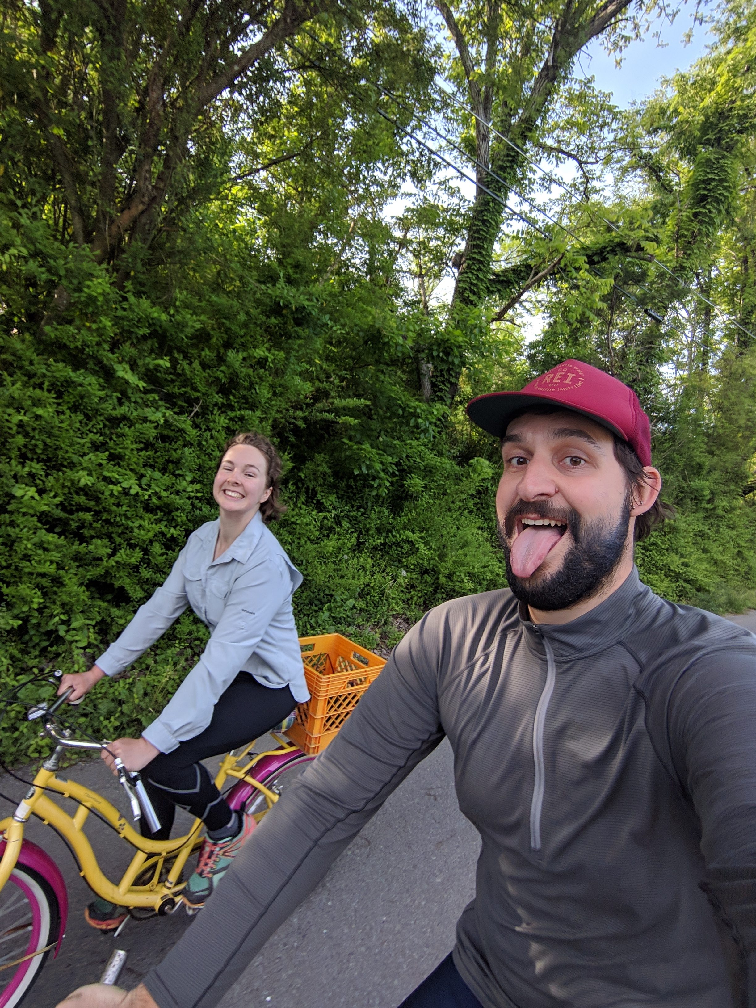
The following day I packed and headed out of the hostel. I had breakfast with MJ, Rev, Baby, Wild Violet, a new acquaintance ‘Bubbles’ and her friend that was visiting. It was a nice breakfast with lots of laughter. I said goodbye and hit the trail.

Myself with Rev, Wild Violet, MJ, and Baby
Big Butt Bypass and Erwin, TN
Clipper had warned me that in the next couple of days there would be a sign near Big Butt Mountain. I had formulated a plan.
First was the climb out of Hot Springs. Towns are generally in valleys so there’s always a tough ascent with a full pack.
An Early End to My Hike?
It is common that there are hanging branches names “widow makers” on sites and when setting up tents it is important to make sure your surrounds are clear. Trees also fall in the woods. As I hiked I saw a tree right on the trail that was creaking and looked a little stressed on the trunk. A section of bark was even missing. I stepped passed and hiked another 20 feet or so before hearing an enormous crack. I turned around and watched the tree fall where I had just passed. People say watch out for bears and snakes. I think they should add trees to their list.

Trees are More Dangerous than you Think
Meeting Tramilies
I hiked 11 miles to the shelter and set myself up next to a hiker named ‘Wiggler’. We were chatting about listening to videogame music whilst hiking for the epic scores that go with the scenery. This was apt as I had been listening to some intense music as I climbed the mountain in the middle of a 30 minute thunder storm.
More of his group began to arrive, and I realised these were the ‘Tramily’ of Sassafras. There was Tigah Bahm, Ringer, Tomatillo, and Honey Buns. Honey Buns is from Cambridge in the UK so we chatted about home and how we had both studied Chemistry. They are a wonderful group that bounce of each other very well. I have been very fortunate to spend several evenings and days with them and have felt pure joy from their energies and kindness to each other and others.
One gentleman recorded a video of me for his vlog about the tree falling, and I was told there’s a reason that area is called Hurricane Gap. The air always gets caught between the mountains and blows everything around.
Another Milestone, Another Brutal Day
The next day I headed on towards Jerry Cabin Shelter. After a short descent, I crossed a road where a small Mom and Pop store allowed me to have some chips and soda. Wiggler was there too and we chatted to the store owner who told us about growing up in the area.
The road then headed back into the forest where there was an ascent of over 2,500ft over five miles. This was a tough climb with steep path and steps, as well as more forgiving switchbacks. The warm day also made for a sweaty climb. Although the main summit had a fire tower, the tower was not open and therefore there was no reason to take the side trail there. On the other hand I took a short side trail to Whiterock Cliff. The view showed the forest growing in valley below and some mountains in the distance.

Whitecliff Rock Views
Along with topping up water, and chatting with Sawyer and Owen (another Brit!!) I continued on to what I thought would be the easiest 100 mile marker to date. It turned out that although there was little altitude difference from the earlier climb, the terrain had other plans. The path was very rocky and required time to traverse carefully. Later as I spoke to Tomatillo, she described the traversing as scrambling. She is very right on this as hiking poles had to be switched out for hands during this section. The view from Firescald Knob was breathtaking and I took time to enjoy it.

Views From Firescald Knob
300 Miles Strong
Past the Firescald Knob, I was greeted with a 300 mile marker left by other hikers from stones. I took the obligatory picture and headed to the shelter. I hung out with Sassafras, Tomatillo, Ringer, Wiggler, Tigah Bahm, and Honey Buns whilst doing my usual yoga stretching routine. This day I chose some rather intense music to stretch to and this got some laughs. We spoke about what music we listen to and then got excited about new album releases to add to our playlists. It’s nice to hike with the sounds of nature around you, or in conversation, but music is an integral part of motivating my longer afternoons.

Happy After a Scramble to Reach 300 Miles
The next day was a nice and easy descent during the morning. Firstly I passed Big Butt Bypass and couldn’t help but take a cheeky picture.

Big Butt Bypass?
I also imagine this nearby rock was the big butt that the sign had mentioned. Or maybe it was just a funny coincidence.

Buns of Steel?
Several of us including Sawyer, Honey Buns, Tigah Bahm, and Wiggler stopped in at Laurel Hostel for snacks. We compared pictures of our butts at the sign and enjoyed a drink. A cold soda works miracles on a hot day and gets you ready like nothing else for a large climb. It was also Tomatillo’s Birthday so the boys packed out Beers along with the decorations they already had.

On the Road with Wiggler
Climbing Around Waterfalls
The next ascent to Lick Rock (I only didn’t lick it as there was no sign) was a stunning climb around a waterfall. It was tough as ever although the sound of running water and the views of the plants around the water were wonderful.
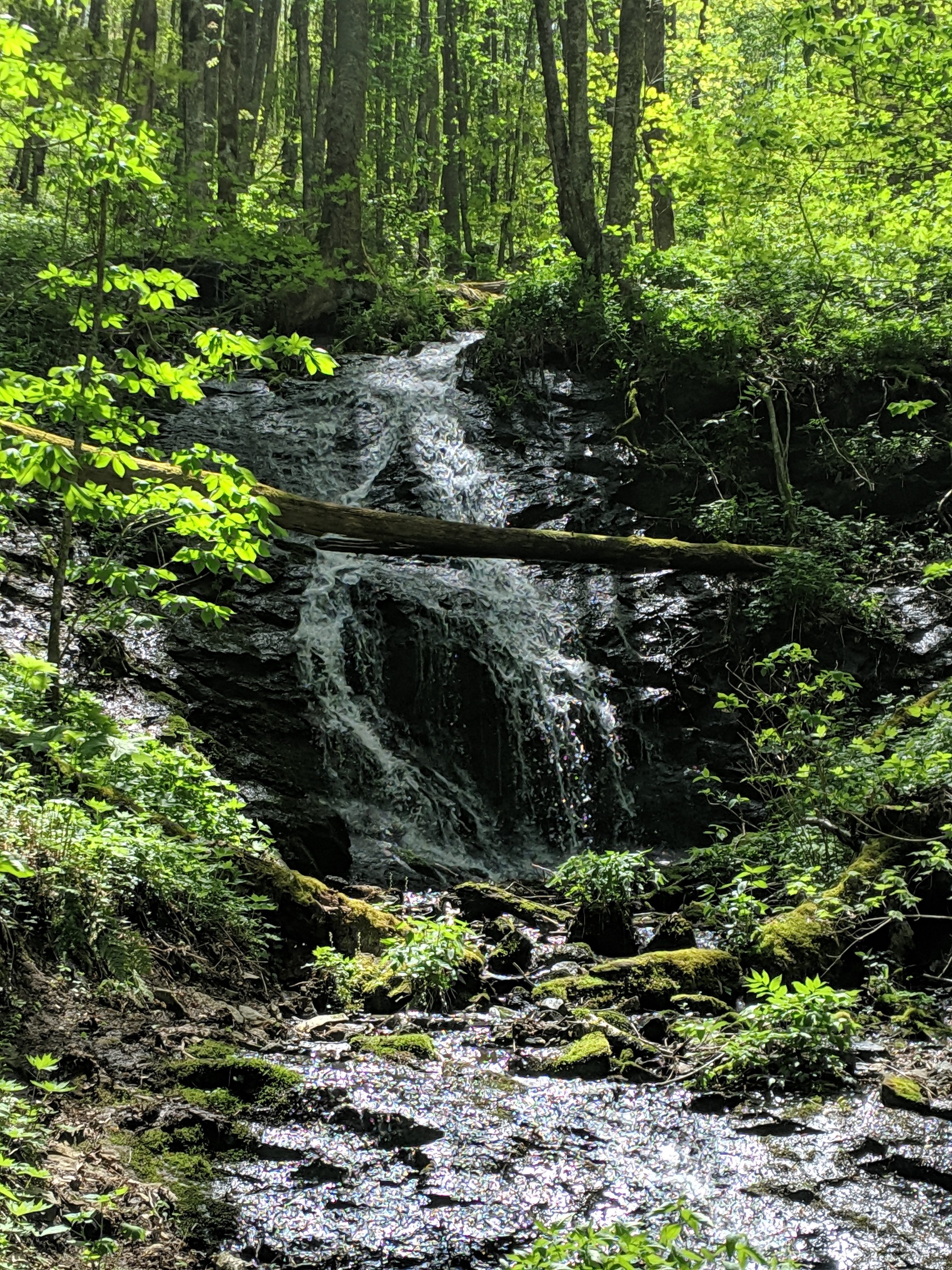
A Steep Climb Around the Waterfall
After several more miles I reached camp for the night. The others arrived to decorate the shelter and get their birthday cake substitute out for Tomatillo whilst she got water. She was truly touched and everyone sang happy birthday whether they knew her or not.
The trail has a way of making a community where strangers can be family. The common goal and the daily struggle bring us all together more than any interest in sports, music, or books.
Keep on Trekking
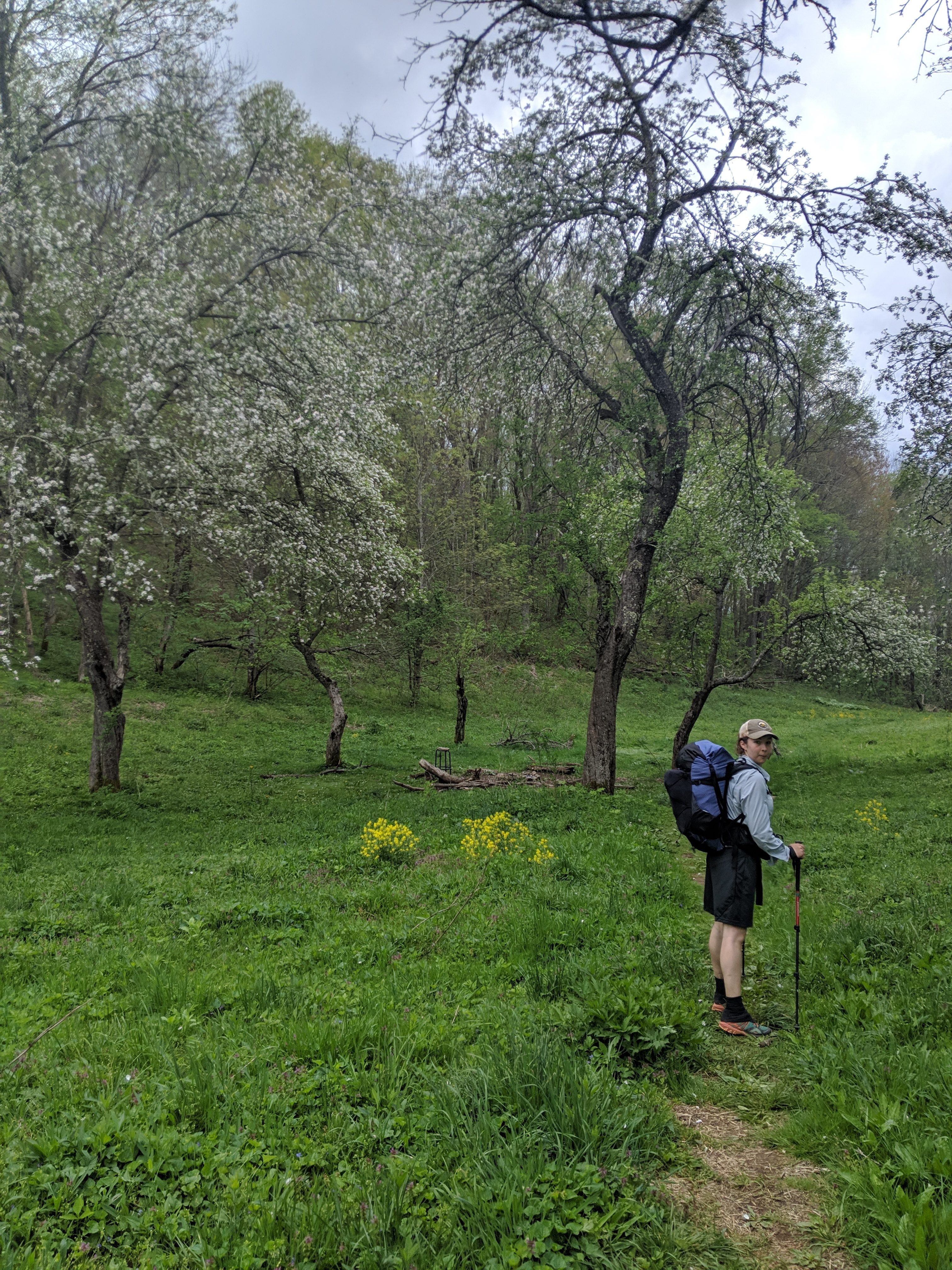
There was a tough climb to Big Bald on Bald Mountain the next morning. Before the ascent we were treated to a wonderful meadow with great views of the surrounding area. The climb started off gradual and winding, but I was getting hungry. It was hot and the last part of the approach really took it out of me. I took several breaks to drink water.

Spring Blooms that Motivate During the Climb to Big Bald
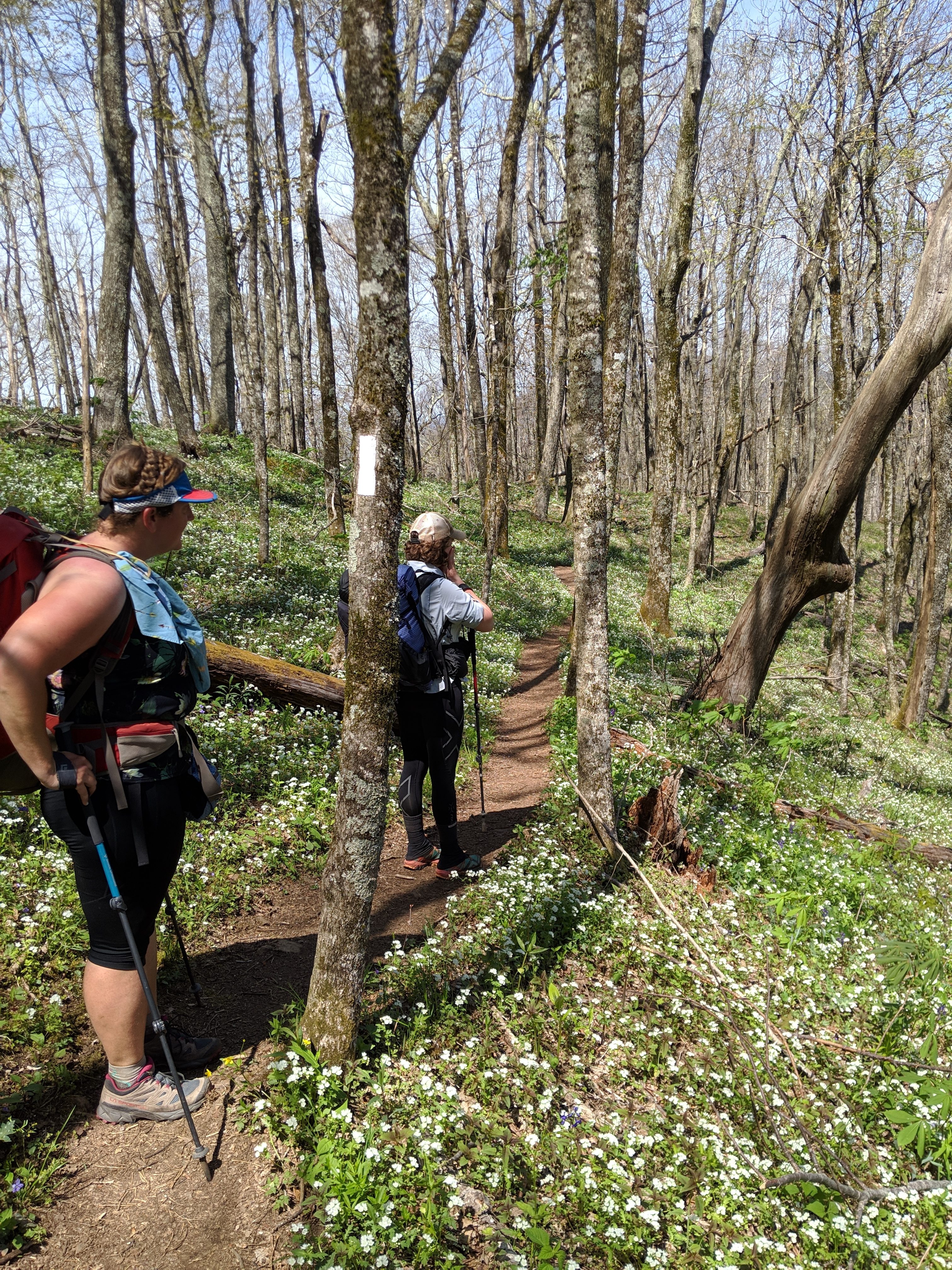
The Big Bald wasn’t quite done with us as the space opened out from the forest. There was still hill to climb. Eventually I summited along with Tigah Bahm and Honey Buns. They took a short break and I settled in for lunch. I got talking to Sunrise and Bubbles and decided that we should camp at mile 16 of the day. This wasn’t a designated campsite, but we felt another five miles would be too much after the distances we had already covered.
Flora of the Appalachian Trail
Sunrise is an expert in flowers from her work and Bubbles also was very knowledgeable, from growing up in the area. They had spent the morning with a lady who drives 2.5 hours each way just to hike the same section of the trail that she loves for its blooms.
We had a great time admiring the forest as we descended towards Spivey Gap. I learned the names of many plants and happily discovered that Sunrise also favoured the Spring Beauties on the trail.
Bubbles and Sunrise Enjoying the Wildflowers
We ended our day camping in a meadow full of clovers and wildflowers. This seemed a perfect end to a floral day.

Open Skies in the Meadow by Spivey Gap
As we soaked our feet in a nearby creek the hiker ‘Salamander’ joined us. She was very knowledgeable on her namesake and found one within seconds of joining us. We all had a wonderful evening enjoying nature and went to bed.

Salamander Vs Salamander
Erwin, Tennessee: Endgame
Sunrise and I hiked swiftly and I learned more about urban landscaping during the 11 miles to arrive in Erwin. We set up at Uncle Johnnie’s hostel, and excitedly awaited Bubble’s arrival. She was getting off trail for a bachelorette shower and had arranged for her mom to take us to resupply, and drop us at the movie theatre.
The Overlook into Erwin
We all sat down to a Mexican lunch, devouring all the fresh vegetables we could. The supermarket was full of vegan products and I was truly excited with my super heavy purchases – including Seitan Bacon. Sunrise and I said goodbye to Bubbles.
No Spoilers
The movie was fantastic and once we returned to our hostel via the first Uber car I’d managed to take since Atlanta, we hung out with Mama Bird and Balto. They are a couple hiking together and Mama Bird, Sunrise, and I all spoke about our love of summer camp.
Living Our Best Stranger Things Moment in Erwin
The Final State Line Crossing
We were in our last few days in North Carolina. We hiked over a rail track and then on a gentle incline to Beauty Spot Gap. Sunrise and I passed some time hiking with ‘Clementine’ (who I met my first week) as well as ‘Mudslide’ and ‘Shpillow’. We made our way to Beauty Spot Gap. This was another grassy bald with wonderful views and a trail full of flowers. I spoke with the guys about the final climb of their day to camp on Unaka Mountain. They had been recommended the spot to camp. It was too far for me so I joined Clementine and Sunrise at a campsite before the climb.

The Beauties of Beauty Spot Gap – Shpillow and Mudslide
Peaceful Days and Peaceful Nights
We had a peaceful evening after spending a lot of time struggling to hang our bear bags. The Appalachian Trail at times has terrible trees for this task.
The next morning we could understand why Unaka Mountain was recommended. It was a Spruce Pine Forest. The way the light came through the dense canopy to the spacious forest floor was eery. I found Sunrise amongst the trees and we continued walking onwards through the cool forest.

Dense Pine Forest
We took an impromptu lunch in an apple orchard with trees that must have been 100 or more years old. The air was humming with the activity of bees pollinating flowers. They were clearly very content and we did not see a single bee approach us as we ate peanut butter, and hummus wraps.
Sunrise in the Apple Orchard
We found Sassafras hiking along and joined him. It was due to storm and we were all aiming for the Clyde Smith shelter to keep us out the rain. We arrived with seconds to spare. Mudslide and Shpillow were also keeping dry, whereas Tomatillo and Ringer who arrived at the shelter before us had decided to push on. Sassafras called it a day with Sunrise and I.
Extreme Bingo
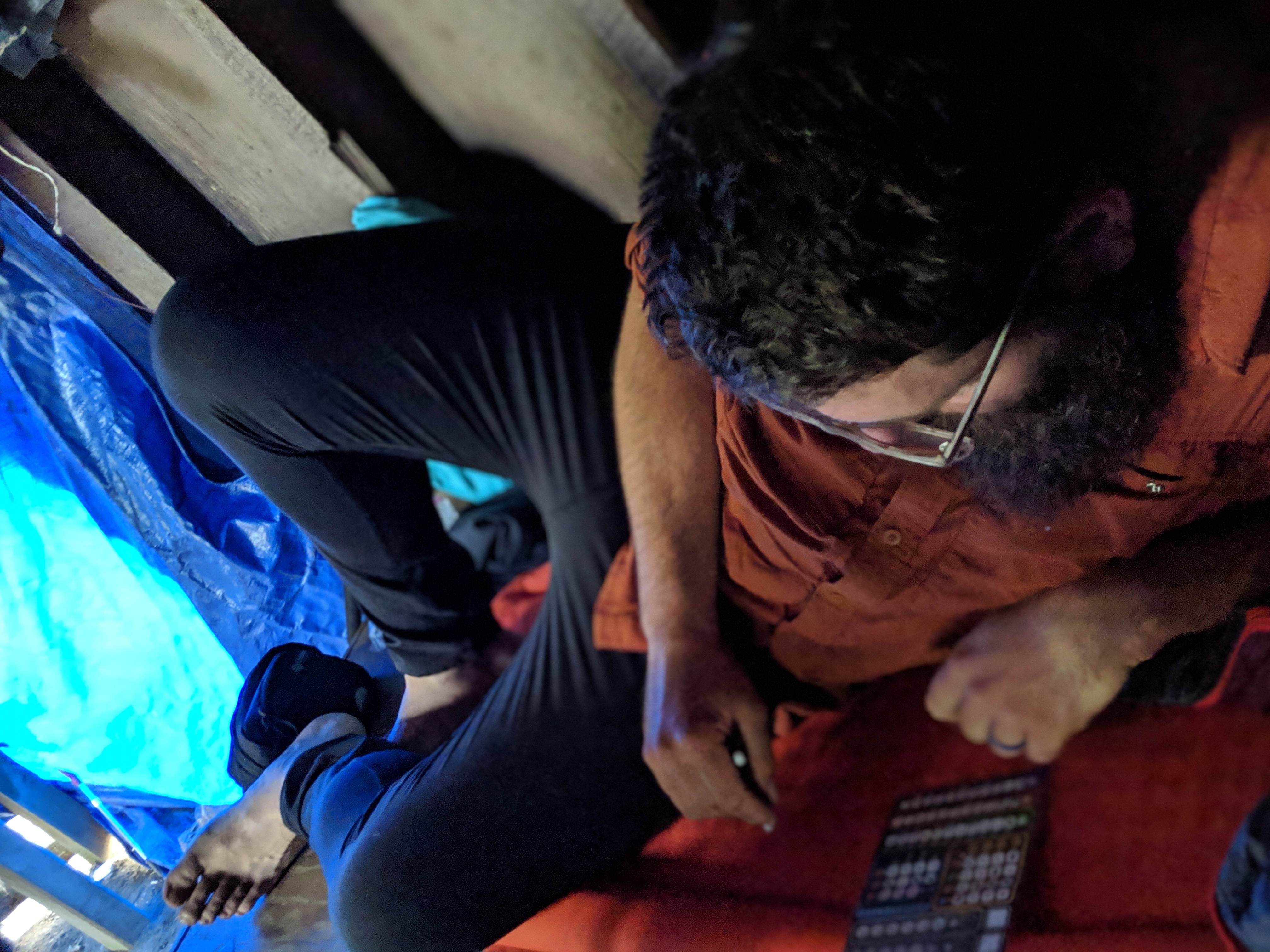
This shelter which was at elevation had the typical frustraring features. No Privy meant digging catholes and the water source was a significant distance down the mountainside. This is always terrible once you’re dressed in your camp clothes and your muscles are done for the day.
I finally had the chance to play my favourite game called Ganz Schön Clever with these two. I had been carrying it since Springer Mountain and couldn’t not play it any longer. They quickly named it Extreme Bingo. Other familiar faces joined us including Mama Bird and Balto and we chatted into night.
Sassafras Mastering Extreme Bingo
Coolest Shelter on the Trail?
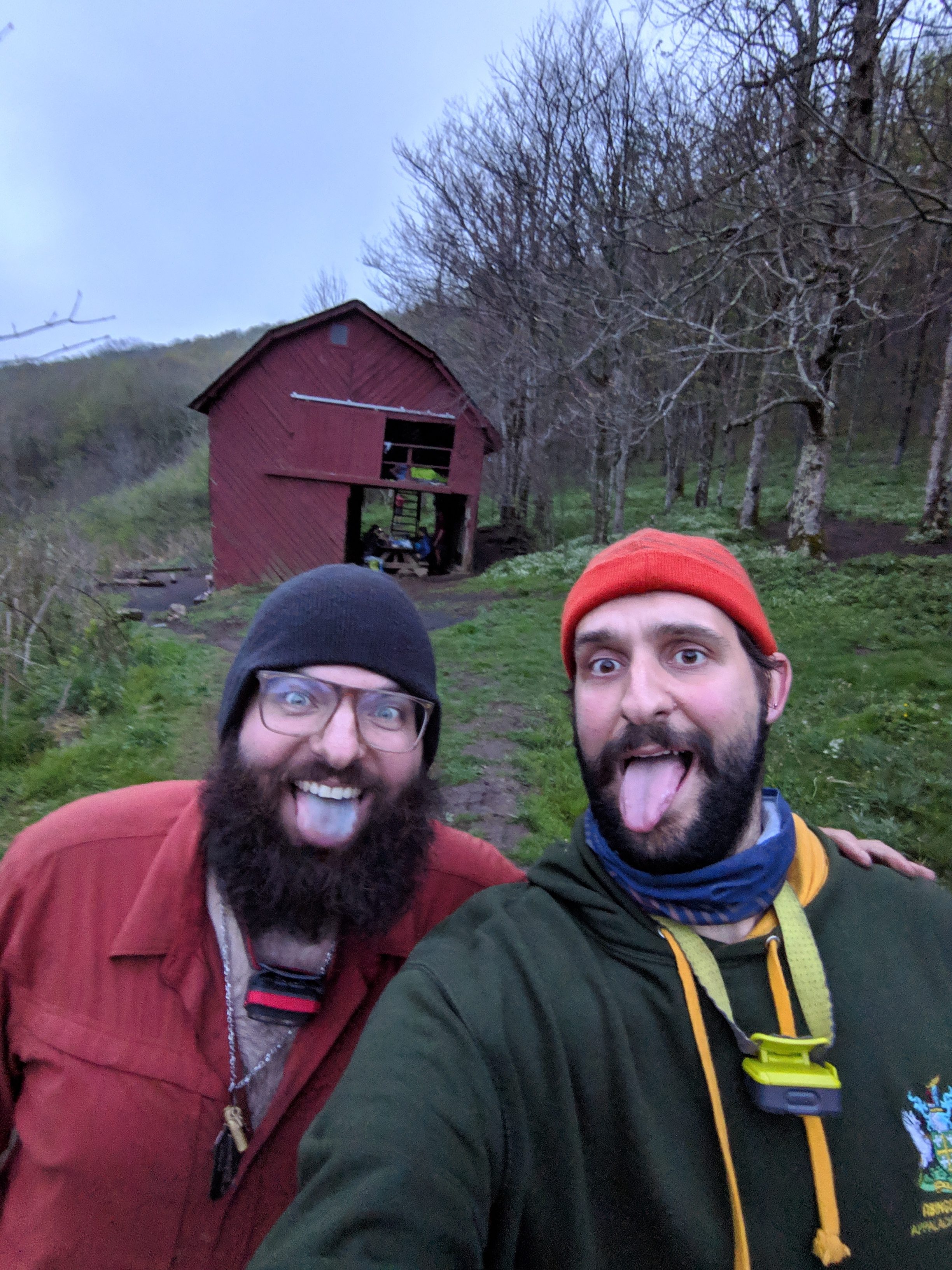
Everyone agreed that they were heading to Overmountain Shelter the next night. This is slightly off trail, but also is a large barn – ie too good to be missed.
Our hike required us to cross Roan Mountain first. This was a strangely easy climb. Although a large increase in altitude, it was over gentle inclines on flat ground that took us through another wonderful pine forest.
Before we knew it we had arrived at Carvers Gap. We were treated to trail magic from a local family who come once a year to the trail. We all had soda, and the trail angels fretted over me whilst providing hot dogs to the others.

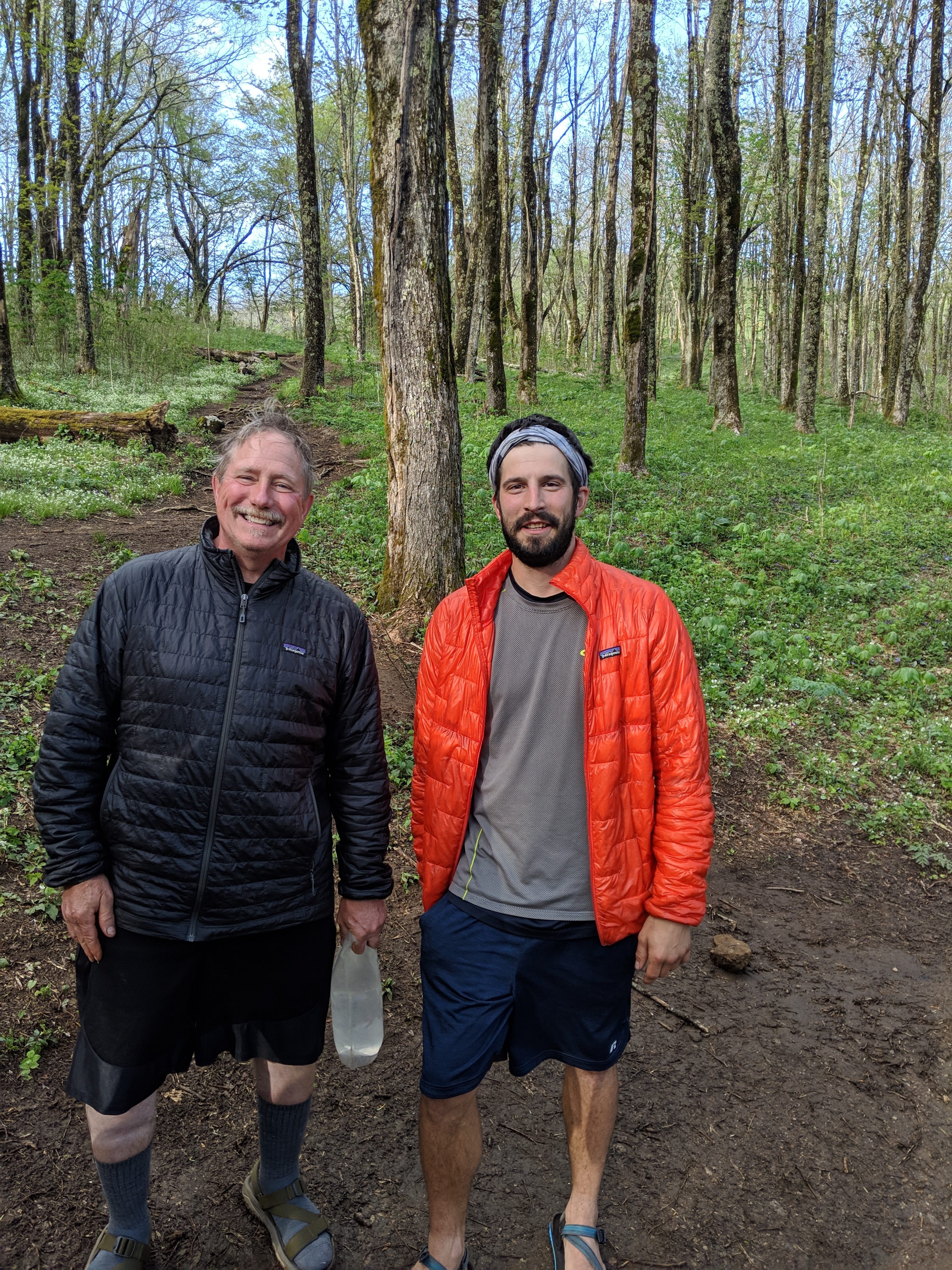
Circuit Rider and I at Carvers Gap
Jane Bald
We hiked over Jane Bald treating us to even more views, and then were caught in a 20 minute rain shower.

Views from Jane Bald
We finally arrived at Overmountain Shelter where we dried off and ate dinner. The thru-hikers were on the lower level for the most part and a school group were camped up top. The group was very nice and they even took a photo with me because I was an English person.
Sassafras and I in front of Overmountain Shelter
Sunrise, Tomatillo, Mama Bird, Sassafras, and I entertained the other hikers with a red headlight silent disco. We all listened to our own music and danced away. Why? Because we were told it was fun by a hiker named ‘Nemo’. He’s thru-hiked before and enjoys hiking still. Long hikes are his strength and he’ll often do upwards of 50 miles in a 36 hour period, followed by hanging out for several days.
Hanging with Ringer and Tigah Bahm
2 Down, 12 to Go
We had a great night and the views of the meadow and mountain were wonderful. Sunrise and I bid farewell to High School Teacher and Principal back on the trail overlooking the barn and headed the 6 miles to our final state line.

Views from the Overmountain Shelter
To reach the state line we had to first summit Little Hump and Big Hump. Although slightly exposed, the sun was shining and we enjoyed the views of clouds in the valleys below. The peaks of the mountains poked out of the clouds giving the impression of floating islands.
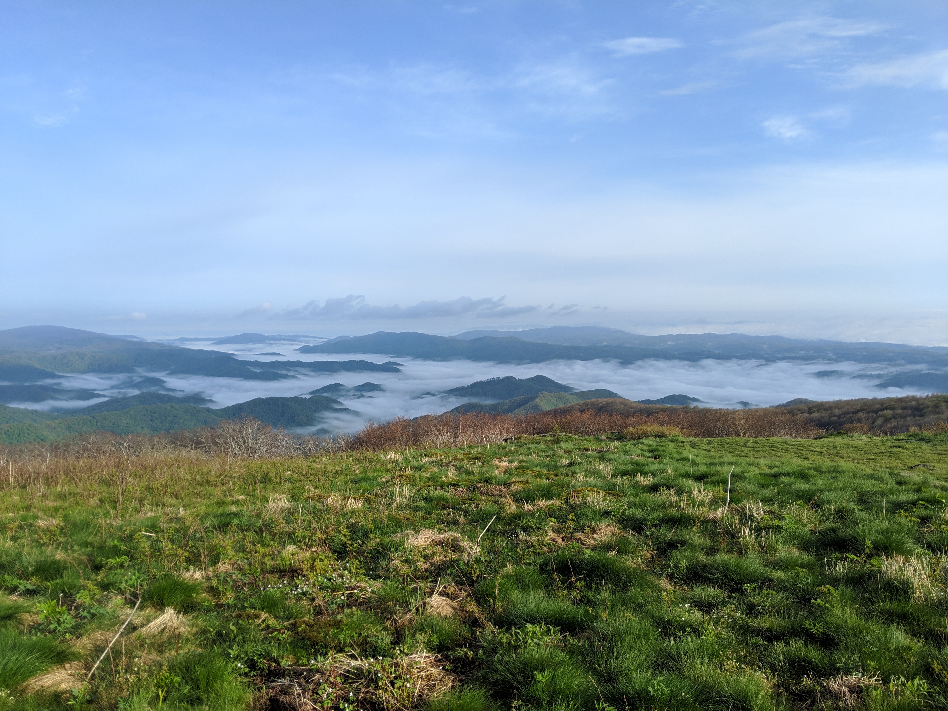
Summits in the Clouds from Little Hump
Finally we descended into the forest and descended a somewhat rocky path until we reached the meadow that held the “Leaving North Carolina” sign. Many hikers reached this milestone of leaving NC with us and we all headed to Roan Mountain for the the local festival.

Bye North Carolina
North Carolina had tested me more than Georgia and I finally felt as if I was getting the hang of this hiking thing. I am massively proud of this achievement as well as humbled by the awesome power of the nature we experienced. 2 down, 12 to go.

This website contains affiliate links, which means The Trek may receive a percentage of any product or service you purchase using the links in the articles or advertisements. The buyer pays the same price as they would otherwise, and your purchase helps to support The Trek's ongoing goal to serve you quality backpacking advice and information. Thanks for your support!
To learn more, please visit the About This Site page.
