 ">
">
Weekly Trail Update Three: April 9 to April 15
Welcome back for another trail update.
Day 15: Jerry Cabin Shelter to Bald Mountain Shelter – 25.6mi
Last night was another subfreezing evening. It had started to snow as I was going to bed and although only about a quarter inch accumulated, the drop in temperature was difficult to manage. I felt like I didn’t get a wink of sleep – it seemed as though the entire night was a continuous rolling from one side to the other trying to get comfortable and I just couldn’t get there no matter what I did. I was wearing every piece of clothing I had, including an all-time high of five layers on my torso, but I just couldn’t seem to trap the heat.
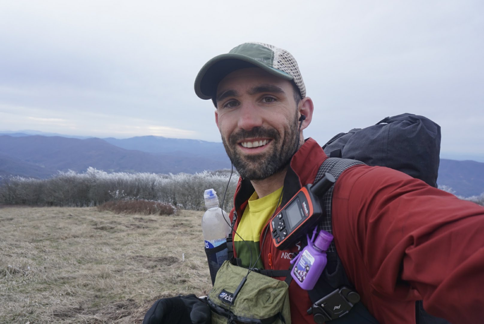
Per usual I was up and on the trail before anyone else, which got me thinking that I should go by the trail name LIFO for “last in, first out” — a programming and engineering term. For now, though, I’ll stick to Flash.
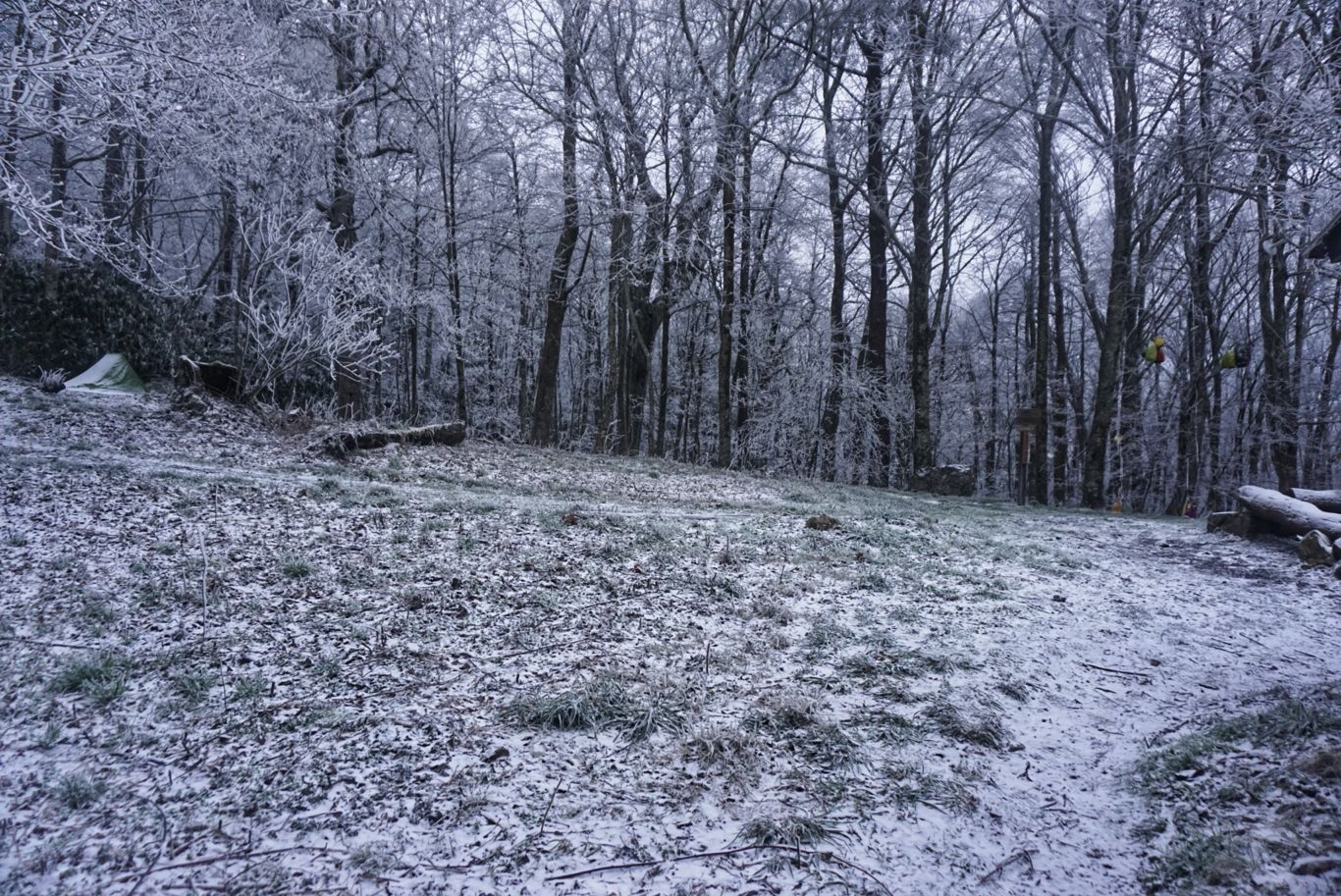
As I crunched along the frozen trail, the ice chunks in my water bottle sloshed along with me. It did eventually warm up some, but it took several hours and a couple thousand feet of descent to get there.
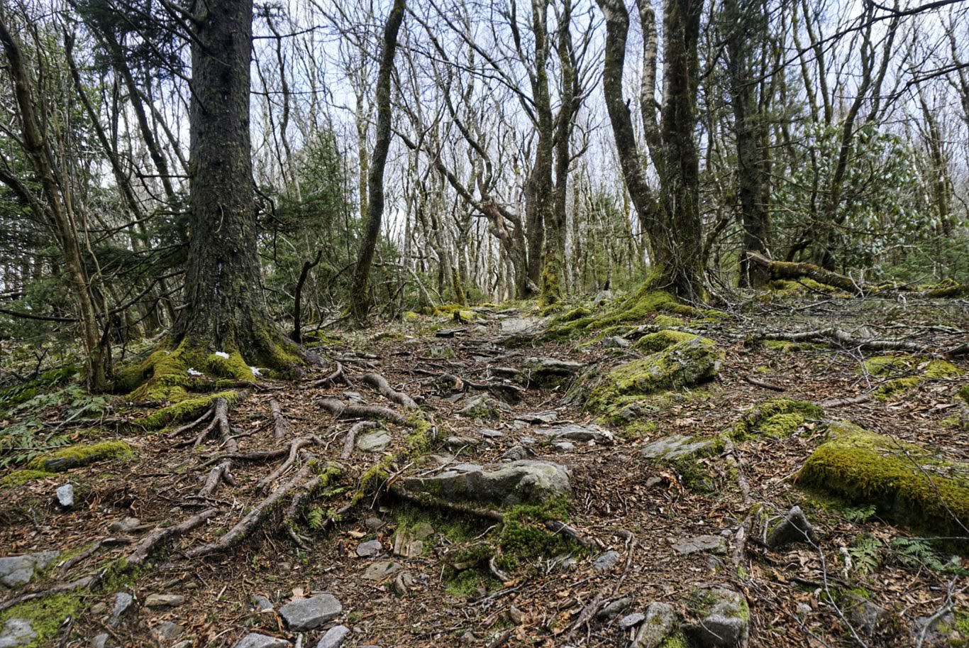
Although I didn’t pass many notable things today, there were many ups and downs. My knee went through various stages of discomfort – sometimes it felt great and other times like I could barely move it. Most of the time, though, it was fine. The most annoying part of hiking after it has snowed is that as the temperature rose, chunks of ice melted and fell from the trees above. All day I was being pelted by these ice cube-sized missiles from the sky. Sometimes it would spook me and others would actually smart a bit.
My destination was the Bald Mountain Shelter and it took me a full 12 hours to arrive. The last couple of miles were really tough because they were not only on a steep incline, but also were complete mud puddles as a result of the melting ice and snow. It was hard to get traction and thus slow going.
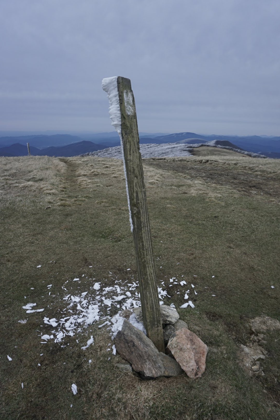
Breezy day on the mountaintops.
Day 16: Bald Mountain Shelter to Erwin, Tenn. – 16.9mi
I woke up this morning to about an inch of snow on the ground. Not only had it been snowing overnight, it was still coming down. I actually managed to stay a bit warmer during the night – a far cry from the past couple of evenings when I was shivering myself to sleep. To do this, I tightened the cable at the top of my quilt, which essentially clinched it around my neck and blocked any incoming drafts. While I may have looked like a stuffed sausage, it seemed to have done the trick.
I begrudgingly got out of my tent and retrieved my food bag, which was hanging from one of the shelter’s bear cables. I choked down my cold breakfast (pro tip: the cold breakfast thing doesn’t work well when substituting grits for the oatmeal) and packed up. Per usual, my tracks were the first in the morning snow.
The hike to Erwin was fairly easy – mostly downhill and out of the snowfall. After about a hour of hiking, the snow had turned to light rain before ceasing altogether.
After about six miles, I crossed Spivey Gap and there was an older couple doing trail magic. They were actually helping another hiker do some slack packing, but in the meantime were handing out snacks and drinks to other hikers. The guy was also doing video interviews of hikers and asked if he could shoot one of me, which I was happy to do. After chatting for a while, it was time to head out.
The remaining 11 miles were most downhill into Erwin, which was nice. I didn’t rush and was still able to make decent time, arriving at Uncle Johnny’s Nolichucky Hostel at about 3 p.m. I checked in, grabbed the last available bunk, and headed for the shower. They have shuttles into town a couple of times per day, as the hostel is right on the AT but a ways from downtown, so I hung around until the next one at 5 p.m.

There were 18 hikers jammed into a van made for maybe ten, and we all made the ride out. We were dropped off at a little strip mall that had both Mexican and Italian restaurants. Most of us went to the Mexican place and scarfed down burritos. Right behind the mall was a Walmart Supercenter, so everyone walked there after eating to resupply and that’s where the shuttle picked us up two hours after dropping us off. I picked up another fuel canister (which is twice the price of the ones in Georgia), some candy, and more earplugs.
Back at the hostel I repacked my food bag (had a box sent here) and prepared for the next few days.
Day 17: Erwin, Tenn., to random campsite at mile 372.9 – 29.1mi
Last night at the hostel was both great and lame. Having their shuttle service was awesome and the guys working there were cool, but there was a miscommunication about the laundry situation and I ended up paying for it but not getting any done. Also, the other guys in the bunkhouse were slamming wood into the stove so it was like a sweat lodge by the time everyone was heading to bed. Of course, I was given a top bunk and thus had to suffer even more intensely as the hot air rose. This hostel, as with most, provides only a vinyl-covered mattress on the bunks and you’re supposed to use your own sleeping bag, pillow, etc., as needed. Because it was already so warm but I didn’t want to sleep directly on the mattress, I lay on top of my quilt with my shirt off and tried to move as little as possible so as not to generate any excess heat. Before long, I awoke in a full sweat with my back spot-welded onto the vinyl. I peeled myself off, repositioned the quilt, and went back to sleep. A few hours later, the fire died out and it was reasonably comfortable for the remainder of the evening.
I got up with my alarm at 6 and tried not to make too much noise when packing up, which is virtually impossible. There’s too much crinkling, wrapping, and stuffing to be done that it just isn’t going to be silent. I made my breakfast outside, donated a couple of items to the hiker box, and was on the trail at 7.
My plan was to get in 26 miles, but I was hoping to do a couple extra because of a hostel stay that I have coming up in a couple of days and I’d like to reduce the mileage on the day I arrive.
Starting out, the trail was quite nice. It crosses the Nolichucky River and then follows a stream up into the mountains for a few miles before opening up into the woods. After about six miles, the trail dropped into Indian Grave Gap, where there was a nice man doing trail magic from the back of his truck. He had coffee, water, and homemade brownies and banana bread. I was very thankful for the coffee and also helped myself to the snacks. We got to chatting about the weather and he said it’s supposed to be in the 80s later in the week. That would be quite a difference from the snow I woke up to just two days ago.

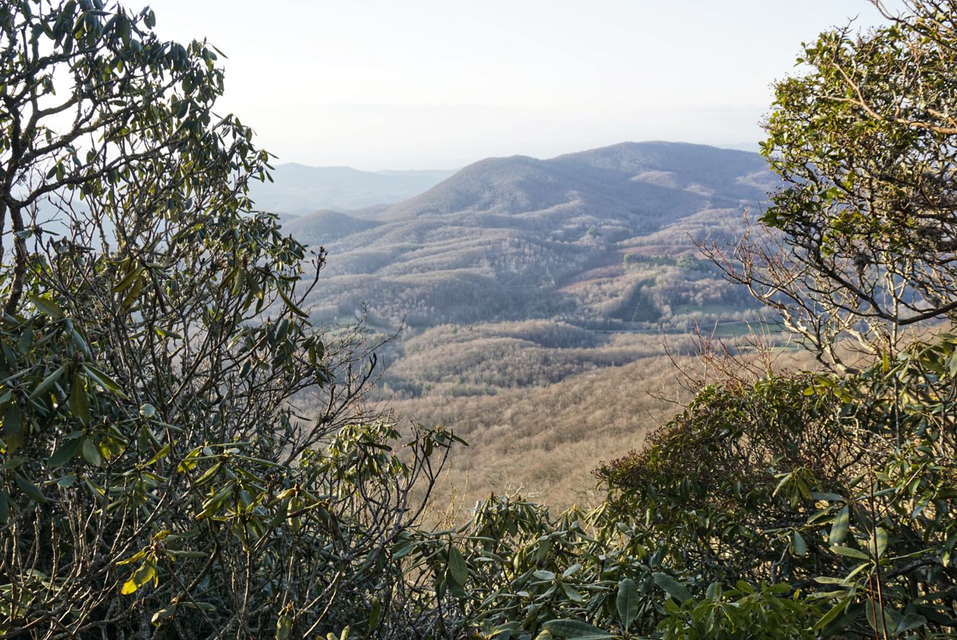
From there, the weather warmed up a little with the sun but not by much and I wore my jacket and gloves most of the day. Coming out of the gap there was a long uphill section (as always when coming from a gap) and then a nice 10-mile stretch of just rolling hills and soft terrain that wasn’t too technical. I went up and over Unaka Mountain, the only peak of the day, and had some nice views.
About this time, my knee was beginning to ache. I had hoped that the short day yesterday and good period of rest would help, but it seemed to be getting worse as I went. I took my usual break at about 2 p.m. and considered my options. If I couldn’t do extra miles today, could I at least reach my original goal? If I couldn’t make it there, I thought, I’d need to seriously consider getting off trail for a zero somewhere and/or significantly reducing my mileage until it heals. Neither option was ideal, of course, as I’d like to stay on schedule if possible. I wasn’t planning to take a zero day for another week or so, but things could be shifted around if needed. But even if I did take a day off, would that be long enough? Probably not. It’s hard to know what’s going on, but I didn’t twist or strain it in any way – I’m convinced it’s an overuse injury (which I’ve never had before).

Not as creepy as it looks!
At this point I wasn’t sure what more I was going to be able to do. The other hikers were planning to stay at a campsite about a mile from the gap, but that seemed a bit short for me. The shelter I had originally planned on going to was 6 miles away, but I wasn’t super confident I could make it. I figured I’d stop somewhere in-between and call it a day. The first mile was rough and my knee was throbbing, but then, for whatever reason, it just stopped hurting. I decided to push a little further, vowing to stop if it got as bad as it had been, but it didn’t. After a couple of hours I reached the shelter, but was actually feeling pretty good so I pushed on a bit more.
Three miles later, after finding some water, I’d had enough. There aren’t any campsites nearby so I just pulled off the trail and set up on the first decently flat spot I could find.
I’m not sure what tomorrow will bring or how my knee will react. To stay on schedule I’d need to hike 27 miles. We’ll see how it goes.
Day 18: Campsite at mile 372 to campsite at mile 401 – 28mi
Last night the temperature dropped at or below zero again. Hard to know for sure, but it was cold. I stayed decently warm inside but, figuring it would get warmer as the day progressed, I left camp in shorts and just my light jacket up top. I didn’t remember that I was heading in the direction of a mountain summit and it wasn’t likely to get warm very soon. Indeed, the trail went up Roan Mountain and past the highest shelter on AT (6,250 feet). All along the trail there were patches of snow, but the worst was the ice that caked every surface. I was sliding around like a lunatic and just wanting to get the hell off that mountain and into some sunshine, as this section was completely covered.
A couple of hours later I arrived at Carvers Gap and immediately headed back uphill. At least this time I had a clear view of the sky. My hands were just beginning to thaw when I started my climbs of Round Bald, Jane Bald, and Grassy Ridge Bald. These were all quite scenic at their peaks, but I truly hate the trails that run along these peaks, which I have encountered numerous times. They aren’t so much trails as they are narrow and deep ditches. There isn’t enough space to walk normally, so you end up either putting one foot directly in front of the other or trying to walk on the grass off to the side. The grass isn’t much better, as it’s clumpy and uneven, making it almost as difficult to navigate. Trying to do this for miles on end with a sore knee was annoying.
As the day progressed, it got warmer and my mood improved. My knee was feeling surprisingly good, and I thought that I might be able to do my scheduled mileage after all. I hiked over Hump Mountain, past a cemetery, and through several grass fields before calling it a day. I chose a flat spot right next to a nice stream and directly on the AT where it drops onto a wider jeep track. It’s a cozy spot that should make for an easy exit in the morning.
About 15 minutes after arriving, I saw a headlamp appear from the trail. As it approached, I was greeted by a hiker known as Firestarter. She and a group of four others had gotten a ride into Hampton, resupplied, had lunch, and then proceeded to hike 15 miles. She was a big girl from Mississippi and seems to be really getting in the groove. She said she was separated from the others and asked if she could camp by me instead of walking to the tent site, which was another half mile or so. I said sure, and she dropped her giant pack to begin setting up. Once she had her tent up, she came back over to chat for a bit. She started on Feb. 12, meaning that day had marked two months on the trail. It also means she had endured some of the worst weather along the way. She also hikes in sandals, which I can’t imagine doing, and thus is quite a badass. At about 10 p.m., she made her way back to her tent and we were both sawing logs soon after.
Day 19: Campsite at mile 401 to Boots Off Hostel – 27mi
Hoping to get an early start and thus an early arrival at the hostel, I set my alarm for 5:30 a.m. For whatever reason I didn’t hear the alarm when it went off and so I didn’t get up until close to 6, but still managed to get on the trail by 6:45. Over the first mile, I passed about 15 tents with sleeping hikers. I guess that spot was more popular than I realized.
The day started off rather easy with a series of short climbs and descents over soft leaf-covered trails. It was some of nicest and least harsh trail I’ve done yet. With my headphones playing a biography of Elon Musk in my ears, I got into a nice flow and was able to bang out a few miles without even noticing.
Soon, however, the elevation changes began. Although my knee felt pretty good yesterday, it did not take well to the sharp and persistent downhill sections today, and as a result of the awkward stepping required to avoid too much pain, my feet were prematurely thrashed as well. Also, the temperature ramped up to 80 degrees today, which was welcomed but also required an adjustment from the frigid days I’ve been able to experiencing so far.
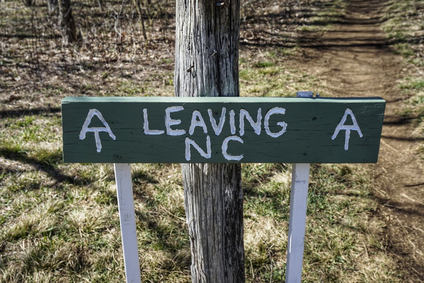
Leaving North Carolina for good this time.
Everything was manageable and I was still keeping a good pace until I got to Laurel Falls. While a stunning sight to behold, the trail preceding and following the falls was steep and rocky, making it extremely difficult and slow to do.
Holding it together… kind of.
The hardest part of the day, though, was the climb and subsequent descent of Pond Mountain. Rising over 1,600 feet in just a couple of miles, I almost needed a harness and ropes to get to the top. My feet hurt, I was pouring sweat in the afternoon sun, and the 80 miles I had hiked in the past 60 or so hours were catching up with me. I stopped multiple times to rest, which I rarely do, in order to make it to the top. The peak was unceremonious (not even a sign) and then the trail immediately descends down the other side. Although my knee was aching, I was able to keep a good pace on this section without too much trouble. I finally reached the bottom at 7:15 p.m. and made a hard left up a dirt road to Boots Off Hostel.
When I checked in, one of the owners said, “I can’t believe it! You made your reservation two months ago and actually showed up on the date!” It’s rare for hikers to plan more than a few days in advance, so reservations are often missed.
So far, Boots Off is my favorite place I’ve stayed on the AT. It’s only in its second season, but it was very nicely and tastefully designed. Each bunk in the eight-person house has a privacy curtain, light, and electrical outlet. It comes with linens and blankets, which is already several steps above normal. They have nice hot showers, excellent and clean bathrooms, and a little resupply store.
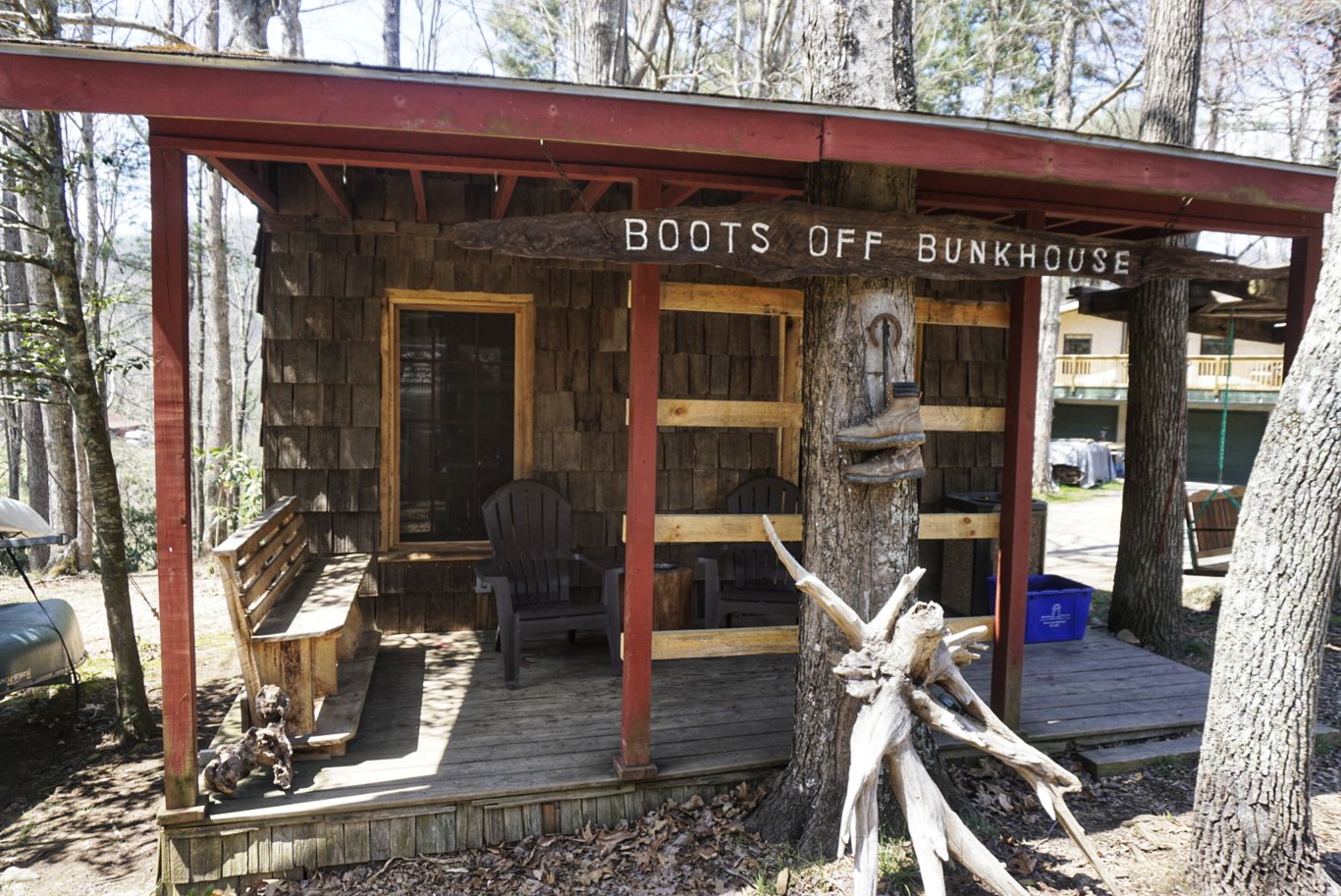
The bunkhouse at Boots Off Hostel. They also have private cabins and tent sites available.
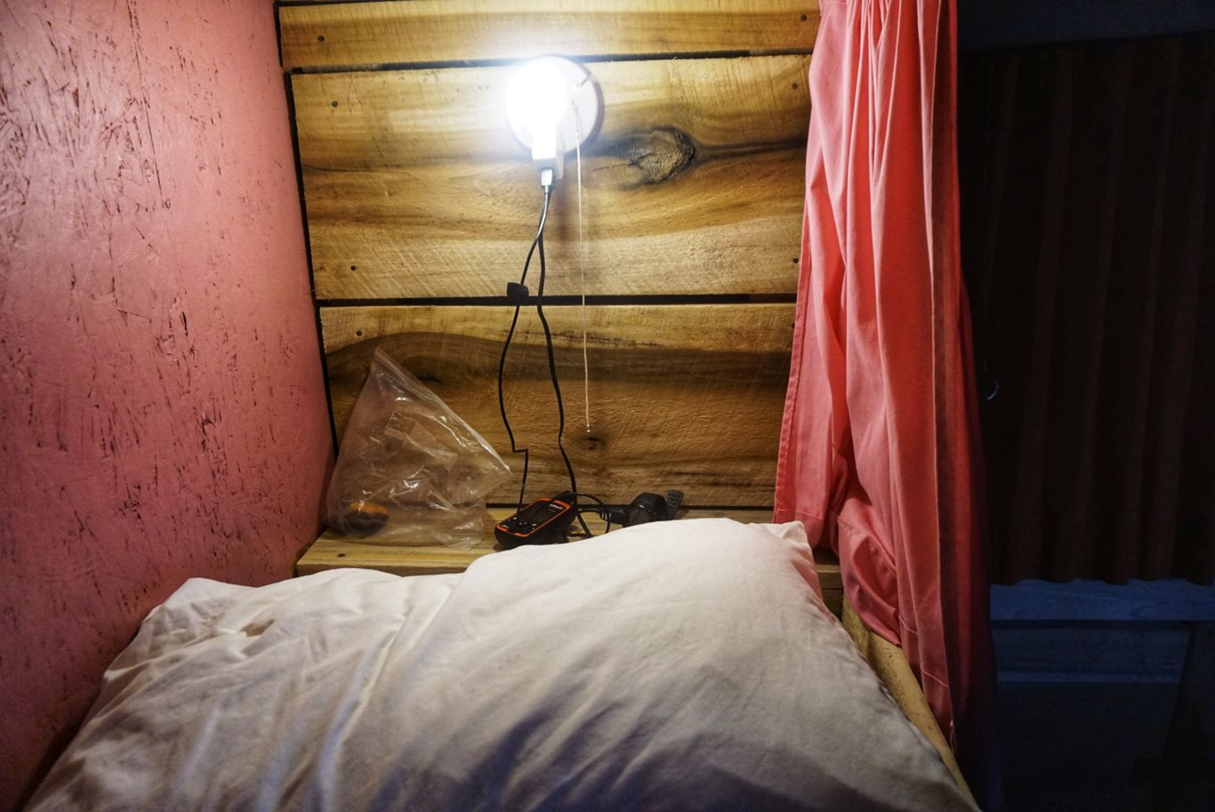
Inside the bunks – curtains, lights, and outlets in each.
I ended up riding into town with the owner and a couple other hikers to pick up dinner at Subway and then some supplies at Dollar General. Also, they serve free breakfast (which I have yet to see from other hostels). This place rocks! Hoping to get some laundry done and a good night’s sleep.
Day 20: Zero Day
Last night I had trouble sleeping, mostly because my left heel was throbbing. Since my right knee has been hurting, I’ve been favoring my left and thus it has received a majority of the impact from the large steps and stairs, which is taking its toll. After tossing and turning most of the night, I was considering slack packing 20 miles or so the next day (slack packing is when hostel owners will drop you at the trail farther up and you hike southbound back to the hostel without a pack) but in the end I decided just to take a day off. This is my first one of the trip, and I definitely need it. I’ve been beating myself up a lot and this last push of nearly 100 miles in three days was about all I had left. Although I had wanted to avoid zeros at hostels and instead take them at hotels where I had my own room, this place is about as good as it can get.
In the morning I had breakfast (they provide cereal, doughnuts, and fruit) and spent most of the morning just laying in my bunk – editing photos, publishing my weekly trail update blog post, and chatting with friends and family. At noon, they had a shuttle into town for lunch and I rode along to pick up another sandwich at Subway. In the afternoon I toyed with the idea of renting one of the hostel’s kayaks or SUP boards, but in the end I didn’t want to expend the energy. Instead I took a nap, watched some YouTube videos, and sorted out my gear for the next day.
The weather here is wonderful – high 70s and sunny – but more rain and cold is on the way. It’s Friday (the 13th) and on Sunday it’s supposed to start raining early and follow me through Tuesday, with temperatures dipping down to the low 30s again. They’re also calling for wind gusts of 50 mph or more. I’m really hoping to not relive the incident I had in the Smoky Mountains when my tent filled with water, but as usual I don’t know if I’ll be able to get a spot in any of the shelters since they’re always full. I’m dreading it, but there’s no way to hide.
I was initially very hesitant to take the day off because it messes up my schedule, as I wasn’t planning to take a zero until I got to Atkins in about four days, but the thought of hiking another 100 miles in my state made me queasy. It’s really not a big deal, as I can easily change reservations, but the inertia was hard to overcome. Slowly, I’m learning to be a little more flexible with my schedule.
I chatted with the owner of the hostel this morning, a gregarious guy from Wisconsin, and he mentioned something called the Damascus Dash, one of the many unofficial challenges of the AT. The idea is to get from here to Damascus in a single day, which is 42 miles. This piqued my interest, because I was planning to do that stretch in two days but if I did it in one then I would be back on schedule. Supposedly the trail doesn’t have any big climbs and is relatively flat, lending itself to the challenge. He said that some people slack pack it and have their bags delivered to Damascus (for a $60 fee) while others go with their packs. He knows of a woman who slack packed it in about nine hours, which is pretty incredible. I decided I would give it a shot and see how it goes (with my pack). I plan to start early (around 4 a.m. or so) and see what happens. Luckily, there are shelters along the way, so if I get in 20 miles or whatever and don’t want to or can’t finish then it’s no problem.
I’m hoping this day off will help significantly with my aches and pains, but I’m worried that it will require much more time to get back to 100 percent. I’ve felt a bit run down all day and hopefully a good night’s rest will help.
Day 21: Boots Off Hostel to Abingdon Shelter – 32mi
Last night I was feeling a bit run down before I went to bed, but when I got up at quarter to four I felt much better. I silently gathered my gear and slipped out of the bunkhouse and headed to the kitchen, where I made some grits for breakfast and chatted with another guest who couldn’t sleep. I set off at 4:30 a.m. in the direction of Damascus.
I really wasn’t sure how well I’d hold up, so I tried to keep an even pace that I wouldn’t have trouble maintaining all day. The trail hugged the shore of Watauga Lake for the first couple of miles before then heading upward to a ridgeline that it stays on for at least 10 miles. This section was quite easy and consisted of just easy ups and downs without anything too drastic. Even though I had my headlamp, I stumbled around a bit until it got light at 6:45.
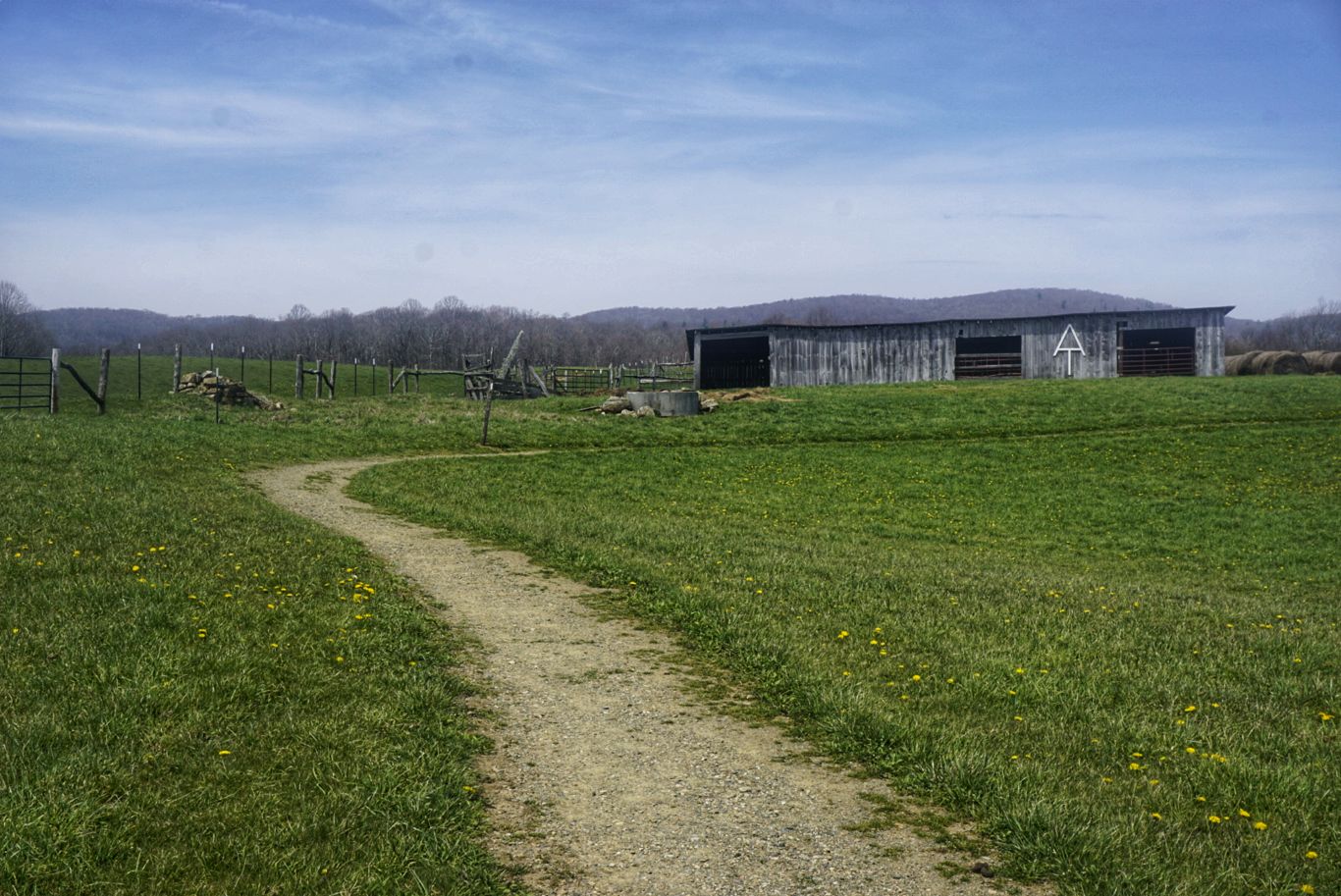
About 15 miles in, the trail goes by a monument and tomb for a local hermit, Nick Grindstaff. It was kind of creepy, but he sure chose a nice place to be a recluse.

Trail magic.
I got to Low Gap a couple of miles later and had cell service so I called the hostel in Damascus where I had a reservation for the night and informed them that I wasn’t going to make it. I asked to reschedule for tomorrow, but they said they were full — to be expected, as Damascus is a huge hiker town. He said he could give me a tent site, which I begrudgingly accepted, knowing that it’s supposed to rain and possibly snow all day tomorrow and the next. I have a resupply box waiting for me there and at least I’ll be able to take a shower and use the kitchen.
With my 32 mile-day today, I’m now just 10 miles from Damascus. I hope to pack up and be on the trail before the rain starts, and then once I get to the hostel I’ll figure out what’s next.
That’s all for this week.

This website contains affiliate links, which means The Trek may receive a percentage of any product or service you purchase using the links in the articles or advertisements. The buyer pays the same price as they would otherwise, and your purchase helps to support The Trek's ongoing goal to serve you quality backpacking advice and information. Thanks for your support!
To learn more, please visit the About This Site page.
