 ">
">
Weekly Trail Update Six: April 30 – May 6, 2018
Welcome back for another trail update!
Day 36: Johns Spring Shelter to Troutville, VA – 18.2mi
I finally had a night without rain and my tent was able to mostly dry out. My sleeping bag was still a bit damp as I packed up, but I knew I’d have the chance to hang it up later in the day. I didn’t sleep very well during the night because my left foot was aching. The 86mi I had done over the previous three days had really taken their toll on my soles, as it were, and they were letting me know about it. I felt like I didn’t ever really fall asleep as I was constantly changing positions to try and find something that would be comfortable, but no matter what I did it seemed to still have a dull throbbing that wouldn’t go away. Even after I popped an ibuprofen, the discomfort persisted. Despite that, I got up at my normal time and was on the trail by 7am.
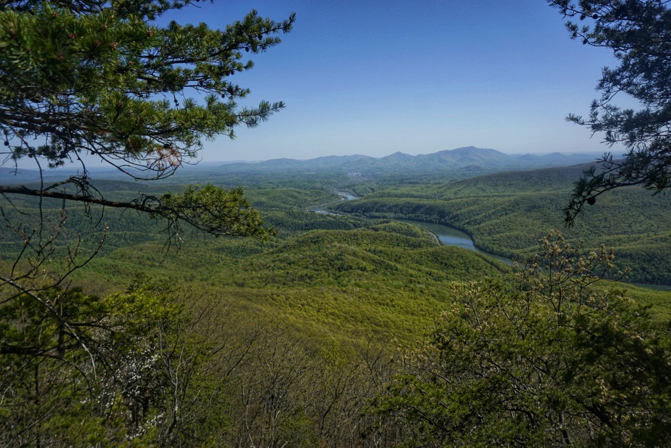
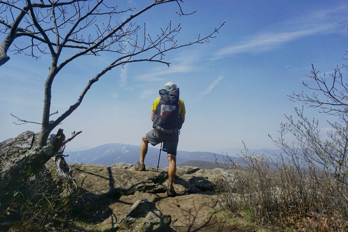
The first part of the day was a relatively easy climb up to McAfee Knob, one of the most iconic overlooks on the AT. Whenever you see the classic picture of a hiker sitting on what looks to be a cliff hanging off the side of a mountain, you’re seeing the Knob. Although the trail was pretty easy, my feet were screaming the entire way. I vowed not to take any more ibuprofen until I got to the top, which meant it took me longer than normal to do the 2.9mi climb. Once there, I took in the marvelous view and then was joined by another hiker. We took turns taking photos for each other before I continued on.
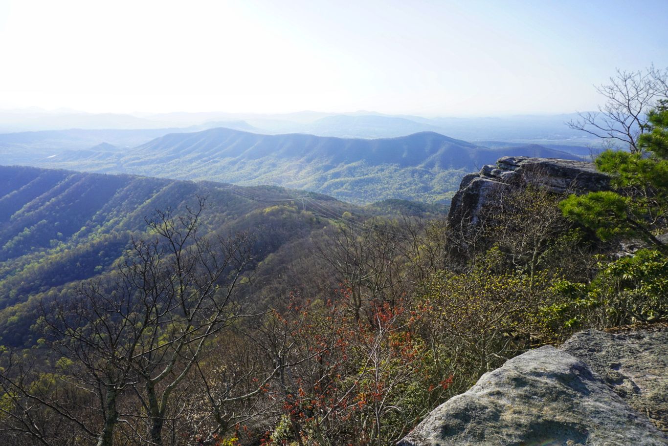
McAfee Knob
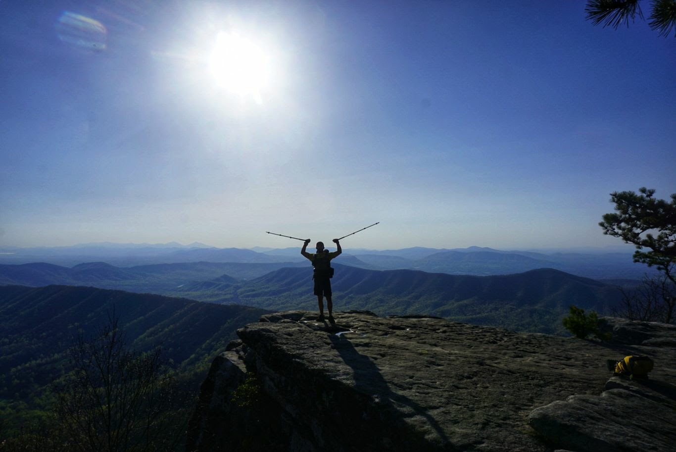
Yours truly on the Knob.
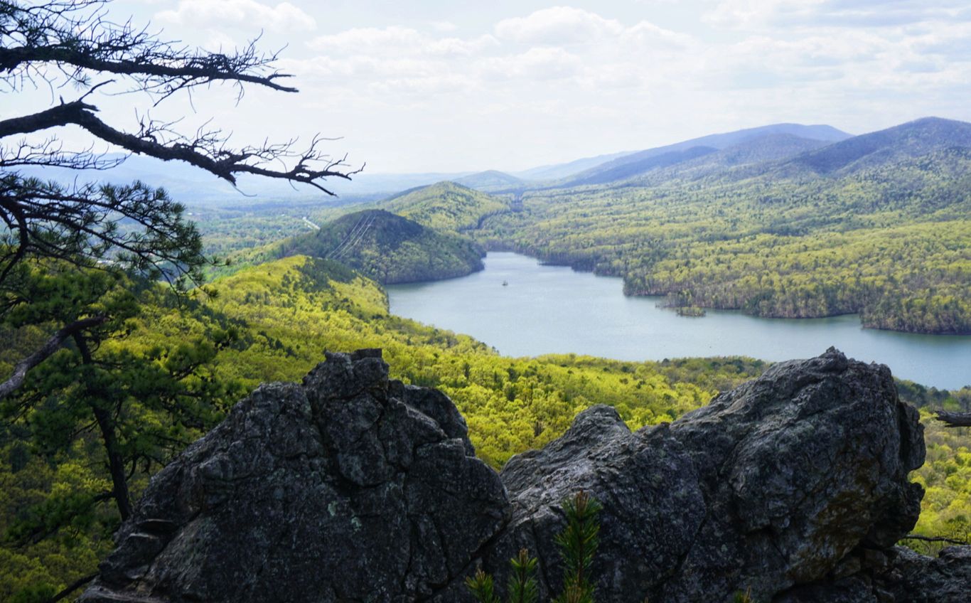
Knowing that I only had about 15.5mi to hike before getting to Troutville played games with my head. I felt like the day was dragging on forever, even though the terrain was easy for about half of it. The other half was more PUDs, rocky ridgelines, and steep descents – the usual. There was nothing else of particular for this stretch (although some of the views from Tinker Cliffs, opposite McAfee Knob, were neat), and the weather was perfect, but I just couldn’t get into a groove. I was tired, my feet were barking, and I just wanted to get to town. I took frequent breaks and my pace slowed considerably.
A tough descent, but nice views from the ridgeline.
It took far longer for me to reach town than anticipated, and once I did eventually reach the road that it crosses I realized I’d have to do a couple miles of walking on a fast-paced double-wide road (basically a highway with fewer lanes) to get to my hotel. I walked about a mile to Dollar General, where I picked up a few food items to supplement my resupply, and then stopped at Taco Bell for lunch. I can’t remember the last time I ate there! I then made the death march to the Holiday Inn Express, where my packages and bed were waiting.
Once I checked in, I wasted no time soaking my clothes in the bathtub to wash out the dirt and grime that had accumulated over the last 4 days. My socks smelled like death, so they got some extra treatment. I then took a nice long bath with Epsom salt (that I picked up at DG) in hopes that it would sooth my aching feet a bit. Then, I hit up the “business center” to publish my weekly blog post and, as always, move around some hotel reservations and do some additional planning. Later, I ordered a pizza from Pizza Hut and had it delivered, not wanting to walk any further than I absolutely had to.
In the morning, I’ll have breakfast here and then walk back to the trailhead to continue on. I’m trying to get to Waynesboro in 6 days (134mi), which should be totally feasible if my feet hold up.
Day 37: Troutville to Bobblets Gap Shelter – 18.5mi
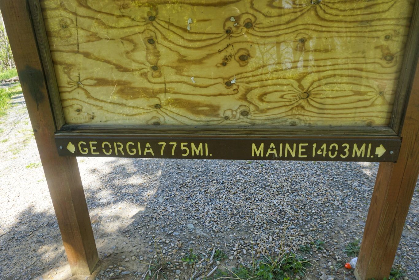
I woke up at my normal 6am time, no alarm needed, but didn’t feel very rested. The hotel bed was perfectly comfortable, but I woke up a lot during the night. I packed up some of my stuff before heading to breakfast, where I ate a ton and got to talking to another hiker called Low Gear. A retired naval officer (of which I’ve seen a lot of out here), Low Gear is doing a very interesting “flip flop” hike instead of the traditional Georgia to Maine thru-hike. He started in Damascus and is going north to Maine, then returning to Damascus to hike south to Georgia. Lots of people start their flip flop hikes in the middle, but this one is better because it allows you basically start at the same time as everyone else but get way ahead of the masses. He’ll finish up in Georgia in the fall when the weather is perfect. Great idea!
I checked out of the hotel just before 10 and started my walk back to the trail along the highway. A mile later, I was back on the AT. I originally scheduled this to be a shorter day so that I’d have more time in the morning, but as I looked ahead at the terrain over the next couple of days I see that there are several massive climbs coming my way. I was hoping to squeeze out a couple of extra miles, but it didn’t happen. The terrain itself was quite good and easy almost all day, but my feet were sore and I was tired from not sleeping well the night before. Finally, there were only a couple of places to get water along a particular 10mi stretch and one was at a shelter that was a little off the trail. I decided to head there and stay, hoping that I can get some good rest for the next few days.
Part of what contributed to my lack of motivation today was my heavy pack. I am carrying a full 6 days’ worth of food, my biggest load yet, and the extra weight felt like it was crushing me even though it’s only a couple extra pounds. I’m also carrying a few things left over from last week that I didn’t eat, and I realized that it was way too much and was weighing me down significantly. I tried to give a bunch of things away to other hikers at the shelter but was only able to offload a few gels and some protein powder. The rest I’ll have to keep with me. I even had to split the food into two bags so that it would all fit when I hung it at night, which is another first for me.
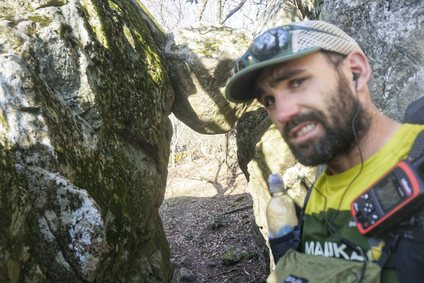
Passing under “the guillotine” and unsure how to feel about it.
Tomorrow I’ll try for 22mi and hopefully will be better rested and a bit lighter so I can hit the hills.
Day 38: Bobblets Gap Shelter to Thunder Hill Shelter – 23.7mi
Last night I slept better than I have for several days. I probably could have slept another couple of hours, but I dragged myself out of the tent at my normal time and packed up to start hiking at 7.
My pack felt more manageable already, as I had convinced a couple others from the shelter to help get rid of some of my food. I also ate about as much as I could, which helped too. The trail started out pretty easy with several good cruiser sections that I breezed through. I knew some big climbs were coming, so I made up time during the easy parts as best I could. The first big climb came after Jennings Creek and ascended about 1,000ft over a couple of miles. Not too bad, really. I descended the other side and stopped at the Bryant Ridge Shelter for a break. That’s got to be the nicest shelter on the trail! It has two stories, windows, and sleeps 20. Pretty neat! I chatted with another hiker there, who goes by Krispy Kreme. He’s a pastor in North Carolina and just doing a week-long section hike and hoping his knee holds up after his meniscus surgery.
The big climb of the day was after this point. It was a 2,500ft ascent over about 5mi, so it wasn’t insanely steep but it never seemed to end. Getting to the top took the wind out of my sails and I was ready to be finished. Unfortunately, I still had a few miles to go so I hammered on. A little later I ascended Apple Orchard Mountain, and that was the nail in the coffin. Thankfully it wasn’t nearly as tough as the other climbs, but I was a zombie even before I started. I slowly made my way to the top, where there’s a giant weather station, and then haphazardly stumbled my way to the shelter which was one mile further.
There’s always a nice reward at the top of a brutal climb!
The weather today was fantastic – sunny and in the 70s. The climbs really did me in, but it doesn’t look like I’ll experience anything that extreme for a while. Tomorrow I will try to make it to Punchbowl Shelter which is 25mi away.
Day 39: Thunder Hill Shelter to Punchbowl Shelter – 25.1mi
I slept well again last night, but still had a hard time waking up. I’m starting to get a bit run down, so I know I’m in need of a day off soon (and have one scheduled). I packed up and was on the trail by 7 for, hopefully, a 25mi day.
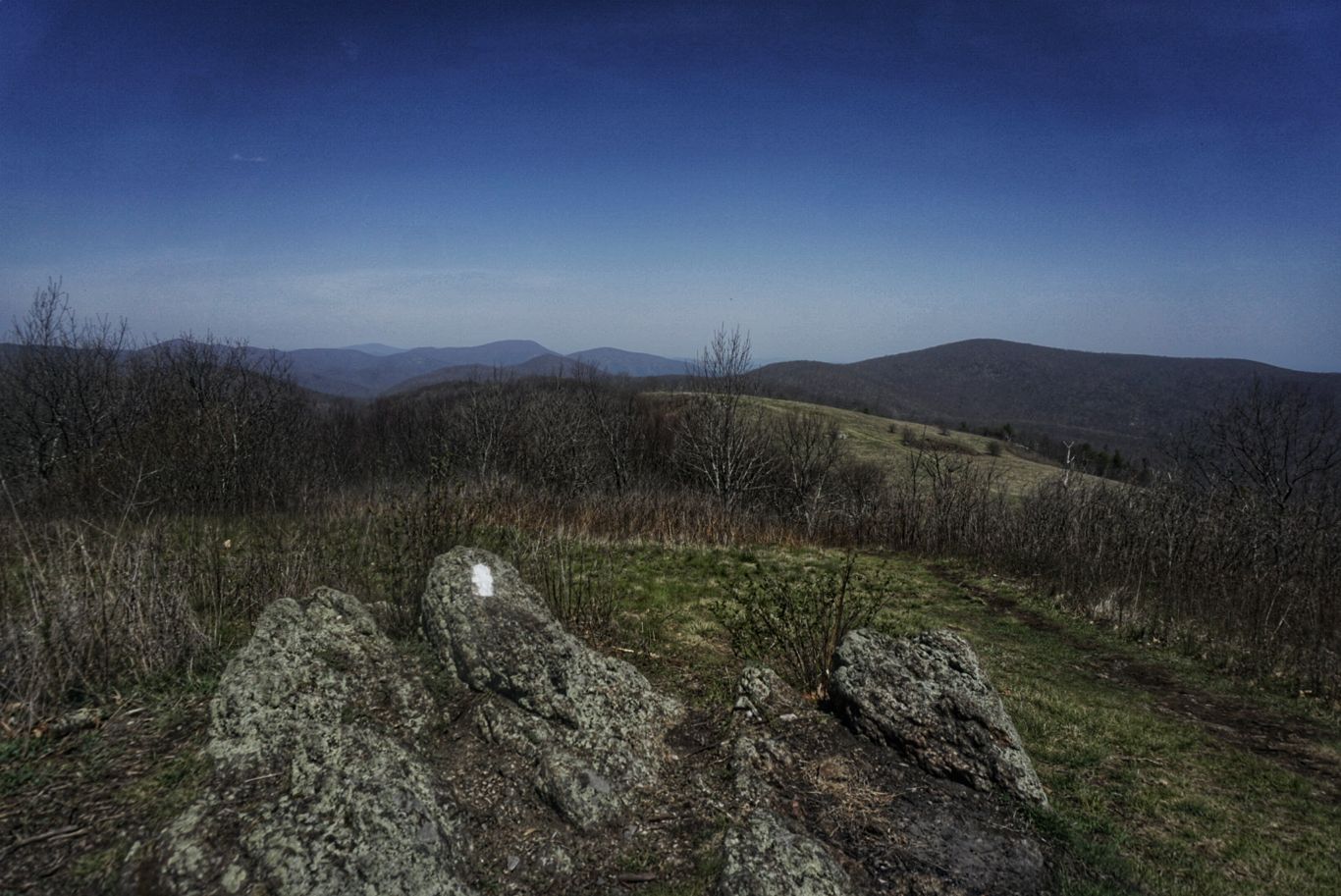
As has been the case lately, the day started out with some easy downhills and rolling ups and downs, which weren’t too bad. The first climb of the day was up Highcock Knob, and I managed it without issue. Even though it was cold in the morning, the sun had come out and it was clearly going to be a warm day.
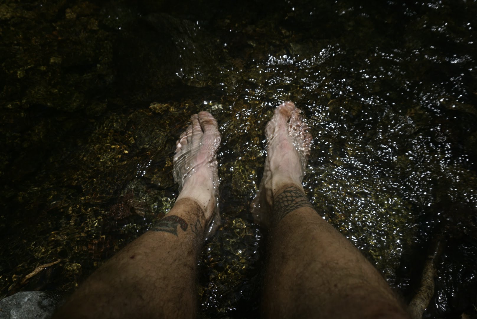
I continued on and made a big descent down to the James River, which I could see from the mountains during most of the morning. By now my first ibuprofen of the day was wearing off, but I vowed not to take another until I reached the other side of the river where I intended to stop for a break. It was rough going for the last hour as my feet were banging off rocks and throbbing the whole time. By the time I reached my spot, the temperature was up to 85 degrees – a first for me out here. The weather went directly from winter to summer without a spring, and I wasn’t prepared for it. I was sweating profusely and tried to find a shady spot to rest, which sort of worked. I ended up taking a nap there for about half an hour, which shows how much energy I had zapped from me.
So far to go…
I was hesitant to get going again because I had a massive climb ahead of me and the sun was at its highest intensity. I was at the lowest elevation of the AT so far (800ft) and had to climb to over 3,000ft in the next 4mi or so to the top of Bluff Mountain. I was dreading it all day and frustrated that my energy levels were so low.
I eventually started the climb and it was just as bad as I expected. I passed a stream at one point and dunked my head in for some relief from the heat, and then soaked my hat in the water before moving on. I started using a strategy from ultrarunning to break up the hill, which is to chunk it into smaller and more manageable sizes. I took this to the extreme by taking it just a couple steps at a time. I put my head down and averted my gaze to focus only on the terrain directly in front of my face. If I looked up to see the length or steepness of the upcoming trail I would immediately lose motivation and want to take a break, but if I only looked ahead a few steps it felt much more manageable. When it got really steep, the depth of my steps decreased so that I could maintain forward motion without wearing myself out too much. Although I was moving very slowly, the trick worked well and got me up the mountain in one piece.
After some level ground and descent, I eventually pulled into the shelter that was a bit off the trail. Like other shelters in this section, it is home to the only water source for several miles, so I didn’t have a choice but to come here (as opposed to just finding a stealth camping spot). I couldn’t wait to get my shoes off and lay down, as has been the case for the last couple of days.
Tomorrow is almost a mirror of today, it seems – another 25mi day with a similarly large climb. I’m hoping it’s a few degrees cooler!
Day 40: Punchbowl Shelter to Seeley-Woodworth Shelter – 25.3mi
As I mentioned before, today was a splitting image of yesterday. I was on the trail at 7, as usual, and descended for a couple of miles while going across a couple of different roads along the way. It was pretty easy going, as most downhills are, and I kept a good pace. I reached a small parking lot that was at 988ft of elevation, and the big climb would take me to the top of Bald Knob at 4,042ft. It was already hot out and I knew this climb would be a killer.
I passed through another parking lot shortly after starting the climb and got to talking to a retired couple from New Hampshire who were chatting with one of the local shuttle drivers that was waiting to take a hiker into town. The couple are HAM radio enthusiasts and spend time every year driving along the mountain ranges in their RV, stopping at many to hike to the peak and set up radio communications. Part of their enthusiasm revolves around a game that amateur radio operators engage in whereby they can earn “points” for successfully transmitting from various peaks. The number of points depends on the difficulty of the mountain, and they said that this particular one was worth the maximum value of 10 points. In the end, they decided they didn’t have the ability to scale the mountain with their 25+ lbs of radio gear, but there were others nearby that they would do. They gave me their phone number and said to give them a call in the White Mountains of I needed anything. What great people!
The shuttle driver was also a nest character. He has been supporting and shuttling hikers for over 50 years, and boy did he have some stories. He said that 99.9% of the tens of thousands of hikers he’s met have been wonderful, which is nice to know. It’s people like these that make the trail so special.
After a nice chat with them, I continued my climb. Just like yesterday it was hot, steep, and long. I was sweating buckets, which contributed to my already disagreeable stench, which has only worsened after days without a shower. Right after reaching the peak, the trail descends a thousand feet only to turn around and go right back up to the crest of Cole Mountain at 3,900ft. There were couple more of these wicked tricks throughout the remainder of the day and my pace and willpower decreased with each.
The top of one of many peaks of the day.
It took me nearly 13 hours to finally reach my destination for the day, and I was surprised to see that no one else was in the shelter! This has never happened before, which has I guess means I’ve finally gotten ahead of the “bubble”. There are literally thousands of hikers behind me on the trail, but probably just a few hundred ahead by now.
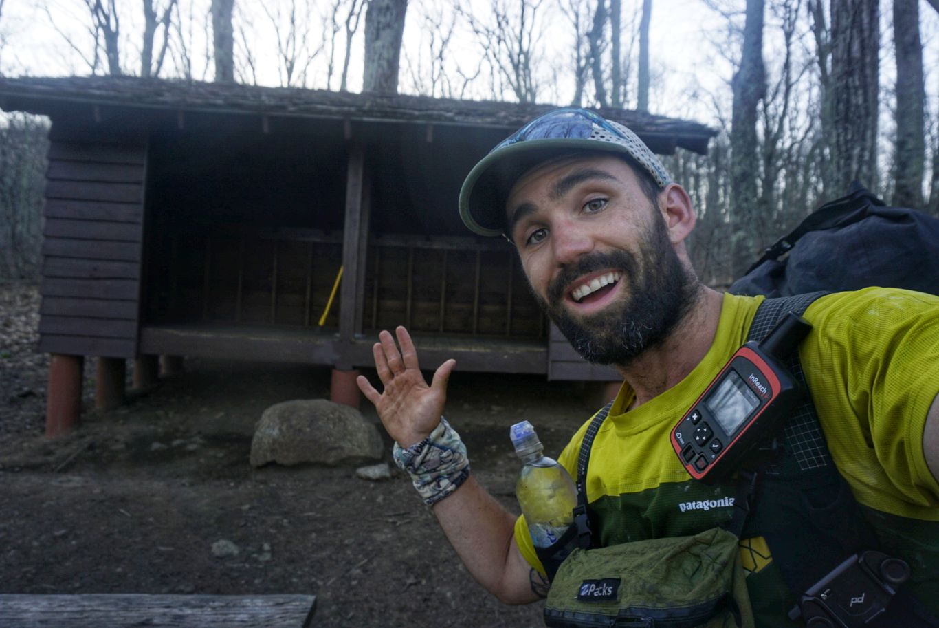
Got the place to myself!
I wish tomorrow was supposed to be flatter than today, but it’s not. There are a couple of equally nasty climbs in my future, but I’m doing a couple fewer miles. My destination is the Devil’s Backbone Brewpub, which is about 4mi off the trail from Reed’s Gap. They are very hiker friendly and have set up a bit of a campground on their property, complete with bathrooms, and offer a hiker-only breakfast for $5 plus a ride back to the trail each morning. I’m hoping to have a thick and greasy burger when I arrive!
Day 41: Seeley-Woodworth Shelter to Devils Backbone – 22.3mi
It was nice having the shelter to myself last night, as I could spread my crap all over and not have to worry about disturbing anyone else. Unfortunately I didn’t sleep well, not really sure why, so that made it hard to get up when my alarm went off at 6.
I’m nearly out of food since I’m close to my next resupply point, so instead of oatmeal for breakfast I had a protein bar and a handful of almonds before hitting the trail.
I know its starting to sound like a broken record, but here goes: the day started easy and then got hard. Very hard. A couple of ups and downs were had before the real climbing began at about 12mi in. Just before that, I took a nice long break by a stream, soaked my feet for a few minutes, and ate lunch. I knew I’d need the rest.
Ahhh.
I started the 3,500ft ascent at the worst possible time, when the sun was at its highest and hottest. It felt like it was a hundred degrees out there, but I’ll bet my bottom dollar it was in the high 80s (I later discovered that it had reached 90% with maximum humidity). The hill to Three Ridges was absolutely merciless – steep, rocky, and windy. There was no relief from either the sun’s rays nor the relentless incline. I was chugging along steadily, feet and trekking poles working in unison for purchase underfoot, and was leaning so far forward that I could practically lick the rocks below. I was panting like a dog and sweat was pouring down my body uncontrollably. I stopped several times to replenish as much fluid as possible, but there was no keeping up. When I finally reached the top, it took all I had to keep from crumpling into a drenched pile of clothing.
I was hoping that the descent would be nicer, but it wasn’t. In fact, it was steeper and even more technical than the other side, which I didn’t think was possible. It actually took longer and was equally as taxing to get down as it was to get up. I was totally gassed.
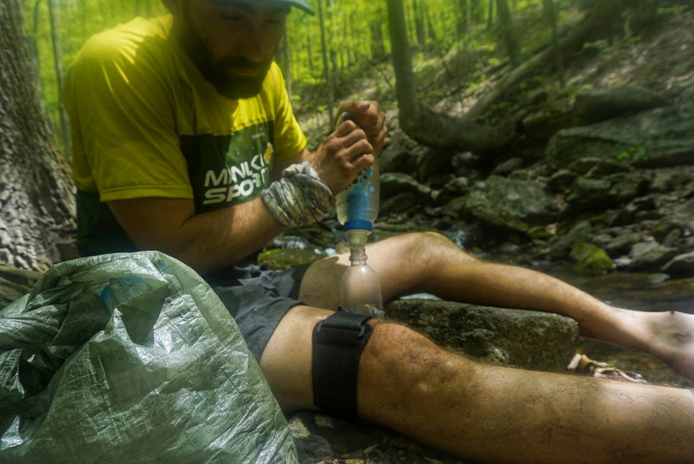
Filtering what was probably my 8th liter of water for the day.
Once near the bottom, I simply had to ride out a few small hills before reaching Reed’s Gap. There, me and a couple other guys tried hitchhiking a ride to Devils Backbone which is about 5mi away from the road crossing. After many failed attempts, someone did finally pick us up, which we were grateful for. The other two guys in the car were of the “ultralight” persuasion – extremely minimal gear (i.e. packs without frames or hip belts and a capacity of half the normal hiker’s) and a chip on their shoulder because they had “already put in 26mi and were going back out after dinner”. One of them even carried a mini luggage scale with him so he could weigh his pack as often as possible. Yeah, okay. While I’m definitely weight-conscious and have a respectably light load, I can’t imagine myself getting to that level of smugness about it. Anyway, we got to the brewery and I headed straight to the bar, where I ordered a Summit Burger and a Trail Angel Weiss beer. Their service left a bit to be desired, but the food was great (albeit overpriced). This was my first burger and first beer of the trail!
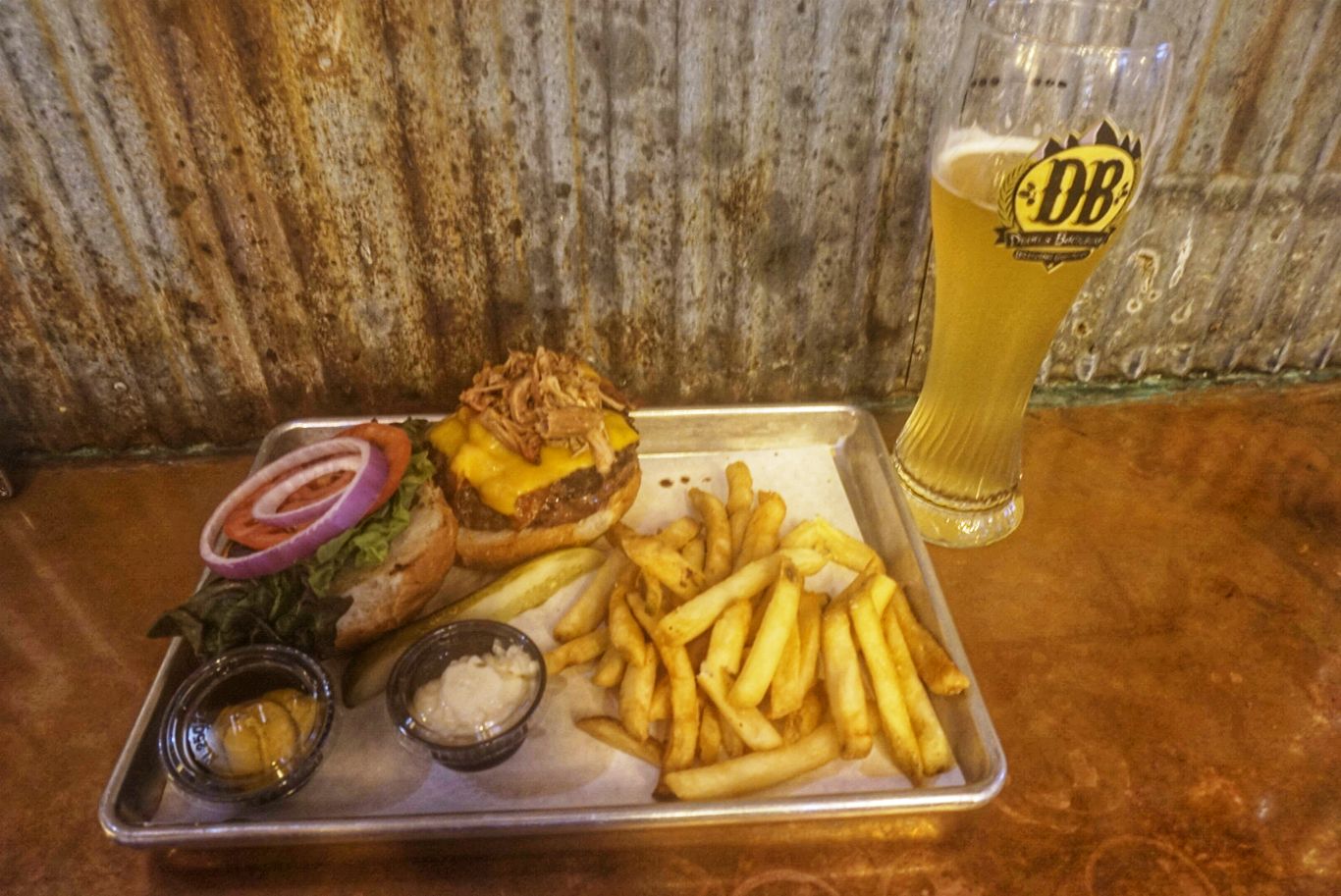
My $30 burger and beer. Worth it.
There were about half a dozen other hikers there, who were easily recognized by the salt stains on their shirts. After gobbling down my burger in record time, I walked across the street to their meadow where they let hikers camp for free. It looks like they’re planning to turn this place into a legitimate campground with RV hookups and all, so I can’t imagine it’ll be free for us hikers much longer.
Tomorrow I’m going to try their hiker breakfast at 7 and head back to the trail. I’ve got to go 21mi to reach Waynesboro, which I’m very much looking forward to.
Day 42: Devils Backbone to Waynesboro, VA – 20.8mi
I took an ibuprofen before going to bed last night, which helped settle some of the pains in my feet and allowed me to sleep through the night. I got up at my regular time and packed up before walking back to the brewery complex for breakfast. I thought that it was a separate event that they hosted just for hikers, but it turns out that it’s just a special plate they have on the menu at their breakfast counter. It includes scrambled eggs, bacon, home fries, toast, and coffee. Great deal for $5, especially since nothing on the regular menu was that cheap. It tasted wonderful and I made an attempt to order a second but was told “one per customer”. Worth a shot!
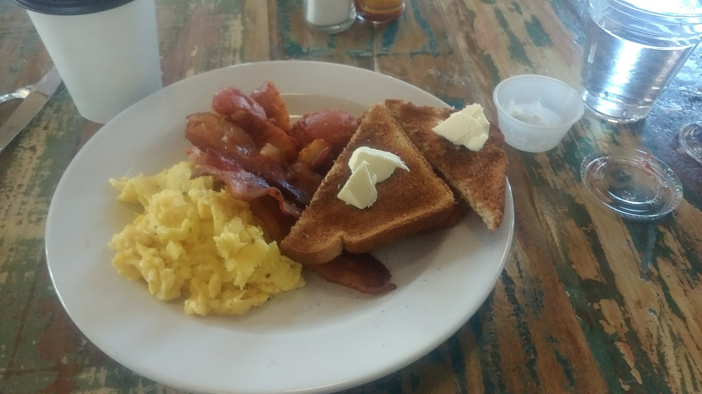
Hiker breakfast. I’ll use all the butter, thanks!
To get back to the trail I either needed to hitchhike or wait until the brewery-provided shuttle at 10am. Although it’s very generous that they take hikers back, I finished breakfast at 730 and didn’t necessarily want to wait around for 2.5 hours, so I decided to try my luck on the road. I figured if no one pulled over I’d still have the shuttle as a backup.
After a couple dozen cars passed, a firefighter named Nick who had just gotten off his shift at the nearby Wintergreen Resort pulled over and gave me a lift. I was extremely grateful and he was a super nice guy. Back at Reeds Gap, I hit double trail magic: someone had left sodas in a cooler near the trailhead, and then 50yds after I got talking to some other hikers who had camped in a nearby meadow and had too much hard cider leftover so they asked if I’d take one. Sure!
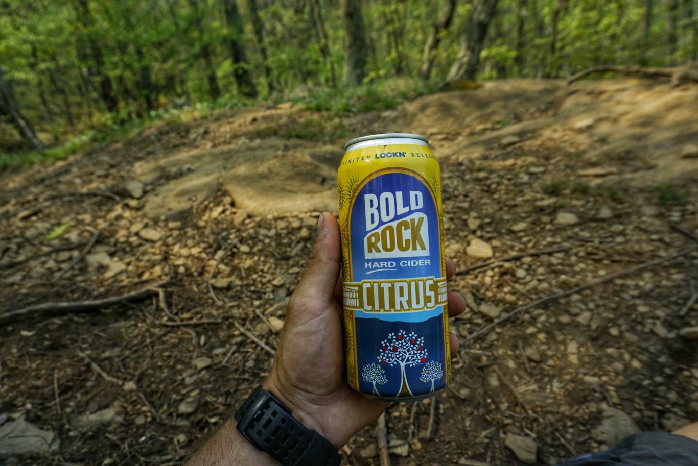
I’ll save you for later!
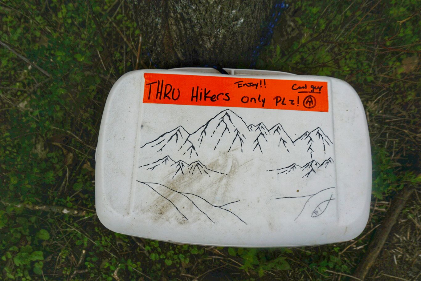
Aww yisss. Thanks, “Cool Guy!”.
The terrain in the beginning was rather rocky, but the grade was easy. After about 4mi, the rocks disappeared and the trail was smooth and flowing nicely. It was fantastic! There was the occasional hill, but nothing too hard. The weather was just as hot as it has been the past couple of days, but since the ridiculous hills were nonexistent it was much more pleasant.
It took me just under 8 hours, including a nice break, to reach Rock Fish Gap at the border of Shenandoah National Park. I called “Stanimal”, the owner of a hostel in Waynesboro, to come pick me up. Stanimal is a pretty young guy who hiked the AT in 2004 and now has a couple of hostels he runs (which are actually just houses with many beds). He picked me up 10 minutes later and I asked if we could swing by the Holiday Inn, where I had two packages waiting for me – a resupply and a new pair of shoes.
A couple of days ago, I decided that the shoes I picked up in Damascus (Oboz Sawtooth) weren’t going to work for me. I thought it was a matter of breaking them in or getting used to the different insoles, but after 350mi my feet are completely murdered and not getting better, so I went back to the familiarity of trail runners. I’m trying out a pair of Topo Terraventures, which I’ve heard and read great things about. They are similar to Altras (which are by far the most popular, and expensive, shoe on the trail) in that they have a good amount of cushion and a wide toe box, but supposedly are more durable than the competition. I’m hoping these work better for me – at this point, it can’t get much worse!

We continued to the hostel and Stanimal showed me around. As I mentioned, it’s a house that just has multiple beds in the bedrooms. It reminds me of Woodchuck’s Hostel in Damascus, but a little nicer. It has all the hiker amenities including laundry, snacks, and a kitchen. I chatted with some other hikers and then took a shower and headed out to walk around town.
The location of this place is fantastic. There’s a Dollar General (aka hiker heaven) right behind the house, as well as a Walmart just two blocks away and several fast food and other restaurants nearby. Hard to beat!
I went to Walmart and picked out some food to cook for the next couple of days. Breakfast isn’t included here, so I got some eggs and bacon for tomorrow. For dinner I grabbed two nicely marbled rib-eye steaks and a couple of side dishes, as well as a six pack of wheat beer from Devils Backbone (guess they made a good impression!).
I lugged everything back to the hostel, cooked an incredible steak, and watched the Bruins lose game 4 of the Stanley Cup semifinals. I was chatting with two hikers, Bear Meat and Clooney, and it turns out they are from Brewer, ME – just an hour from where I grew up. What a small world! They are newlyweds and doing this hike as their honeymoon before settling back down in the Portland area. Really great folks.
After the game I settled in for the night. It’s supposed to rain tomorrow so I’m glad to be taking a much-needed zero day.
That’s all for this week!

This website contains affiliate links, which means The Trek may receive a percentage of any product or service you purchase using the links in the articles or advertisements. The buyer pays the same price as they would otherwise, and your purchase helps to support The Trek's ongoing goal to serve you quality backpacking advice and information. Thanks for your support!
To learn more, please visit the About This Site page.
