 ">
">
Benton MacKaye thru or Appalachian Trail section?
 My initial plan: an AT section hike
Several months ago I was sure I’d be hiking the first 400 or so miles of the Appalachian Trail northbound from Springer Mountain, starting in early April. I’d already bought my plane ticket, shuttle, and even overnight lodging near the trailhead.
Then I got around to reading some more about what it’s like on the AT going northbound from Georgia in March and April.
I saw advice on the ATC website recommending that section hikers pick other times to hike NOBO from Springer, since so many thru-hikers are starting their journey right around then. I talked with a friend of mine who’d hiked the AT last year, who also recommended a different timeframe for section hiking or flip-flopping.
I even started feeling guilty about taking up precious tent or shelter space and other resources during “the bubble” from people who were really committed to hiking the entire trail in one season. I wish I could be one of their happy number, but other commitments have made that impossible for me at least this year.
My new plan: a BMT thru-hike
And then somehow I happened to see this map. It shows how the Benton MacKaye Trail and the Appalachian Trail both start at Springer Mountain. It suddenly occurred to me that I could achieve my dreams of hiking in Appalachia and of completing another full thru-hike, without having to cancel my reservations and without taking up space in the NOBO AT spring bubble.
I would hike the Benton MacKaye Trail this spring instead of the Appalachian Trail.
What is the BMT?
The BMT is a nearly 300-mile trail which forms kind of a figure eight with the AT. Starting northbound at Springer Mountain about 2/10ths of a mile after the AT terminus, the BMT begins by roughly paralleling the AT for a couple of miles until it heads westward towards the Blue Ridge Mountains and the Hiwassee River.
While the AT meanders in a curving fashion to the east, the BMT forms its own longer curve towards the west until it intersects the AT again at Fontana Dam.
Then the two trails switch sides, with the AT heading northbound on high ground on the northwest side of Great Smoky Mountains National Park while the BMT follows a parallel route more in valleys on the northeast side of the park.
Finally the BMT reaches its northern terminus near the north end of the park, less than 3 miles’ trail walk from the AT. With the AT and BMT so close together at their southern and northern ends, it’s even possible to hike both trails in a roughly 500-mile loop (or more accurately, a figure eight).
More about the BMT
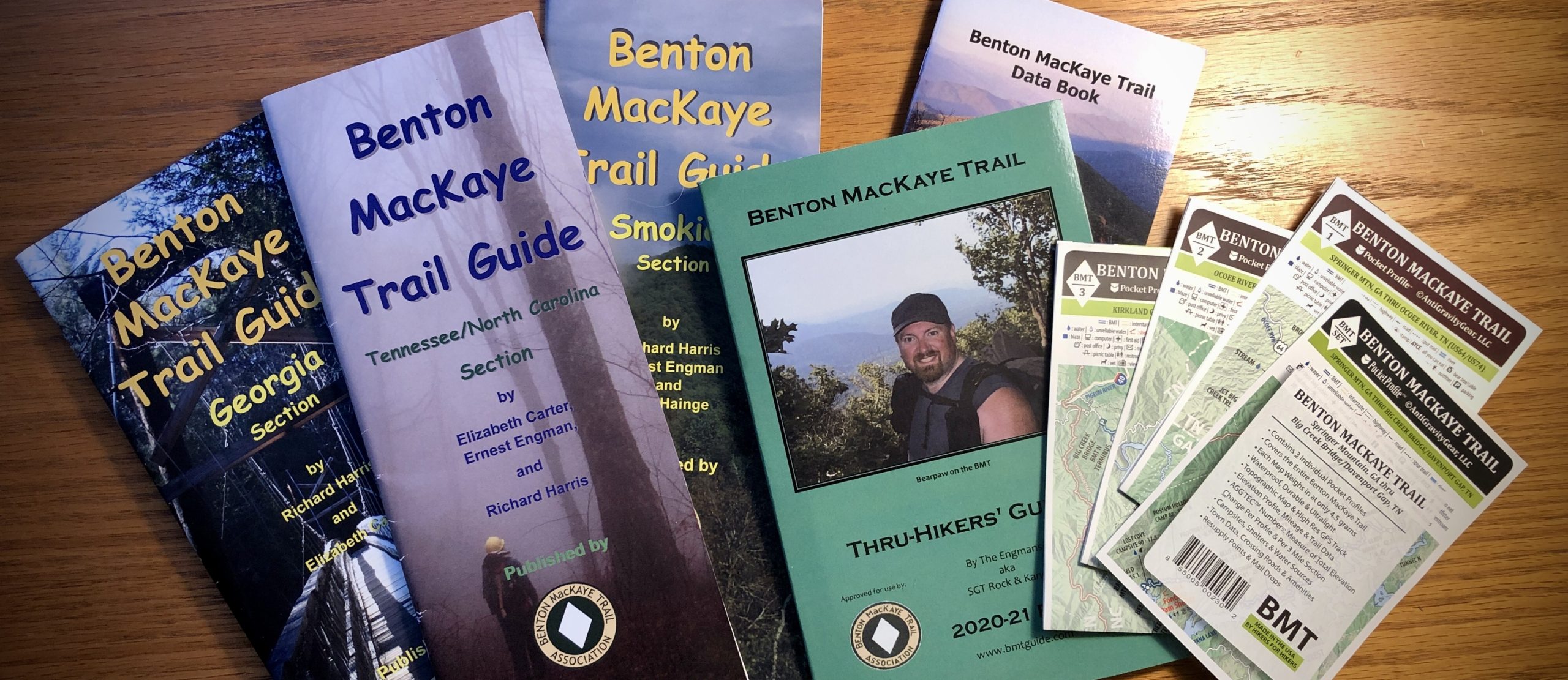
I started seriously researching the BMT, and learned about its rich history and highly dedicated volunteers who’ve formed the Benton MacKaye Trail Association. These volunteers have worked hard at maintaining and improving the trail, and at publishing numerous guidebooks. The BMTA even sells an extremely well-written and detailed guidebook geared exclusively towards thru-hikers.
Numerous YouTube videos on the BMT are also available. They depict a trail that’s more remote than the AT, with significantly fewer resupply points and only a fraction of the hikers, but which features much the same type of terrain.
(Tara Dower set an overall supported Fastest Known Time for the BMT last August; she did the 288 miles in under five days! Check out her YouTube video here. I’ll be going just a wee bit slower, and will be happy if I finish in about three weeks.)
The Trek website also features some very useful articles on the BMT, such as this great article which goes into detail on how to hike it.
Unlike the AT, the BMT has almost no shelters or privies. Instead, tents or hammock tarps are a must. As with the AT, hikers must always provide their own bear protection for their food and smellables.
BMT hiking in Great Smoky Mountains NP
One major difference with the AT is how BMT hikers are treated in the National Park. AT thru-hikers don’t have to make reservations in the park’s relatively few campsites (but they need to be prepared to sleep under their own tents if non-thru-hikers have reserved all the shelter spaces).
By contrast, BMT thru-hikers have no special claim to campsites on the BMT within the National Park, so they need to reserve tent spaces ahead of time. Reservations can be made online starting 30 days before the planned overnight, and campgrounds can fill up quickly.
I saw one video where a solo hiker was doing a NOBO thru-hike starting in early April but had to delay his final days going through the National Park by two weeks because all the park’s campsites were full. I imagine it’s even harder securing camping spots heading SOBO on the AT for persons wanting to do a BMT-AT loop.
The BMT is on the FarOut app
By all accounts the BMT is a more “wild” experience than the AT, but it has its own trail map on the FarOut app which features updated reports from other hikers on water sources and potential campsites.
What finally cemented my decision was when I talked about my plans with two great friends I’d made while hiking the Colorado Trail in 2021. They now live in New York and weren’t that interested in section hiking the AT, but they both enthusiastically asked to join me on a BMT thru-hike.
So … the BMT it is! I’ll look forward to meeting AT hikers where the trails intersect, and to sharing stories of our varied adventures.

This website contains affiliate links, which means The Trek may receive a percentage of any product or service you purchase using the links in the articles or advertisements. The buyer pays the same price as they would otherwise, and your purchase helps to support The Trek's ongoing goal to serve you quality backpacking advice and information. Thanks for your support!
To learn more, please visit the About This Site page.

Comments 2
Itheu hiked the AT in 2017, last Oct/Nov I hiked the BMT south bound, and alone. It was a great trail, took me 19 days. I was alone nearly the whole trail (outside of the GSMNP). It was much more remote than the AT, I only found town food 1 time, 16 days in, and never did get to do laundry. But part of that was because it was so late in the season and nearly everything was closed in Fontane Village.
Thanks for your comment and info, Sandra! I’m hoping that the Pink Pig BBQ and/or the Bigfoot Museum will be open when I reach Cherry Log, and that I can find campsites in the National Park. Hope you keep having beautiful adventures.