When Life Gives You Lemons, Hike the Sierra High Route Instead
I decided to solo hike the Colorado Trail. I was going to take my 6 weeks of my 2019 summer vacation to hike the 500 miles trail. I had visions of knocking off 14ers, buying a Melanzana hoodie in Leadville, leaving snarky Guthook comments about my favorite signs, and running into other Pacific Crest Trail 2017 alumni.
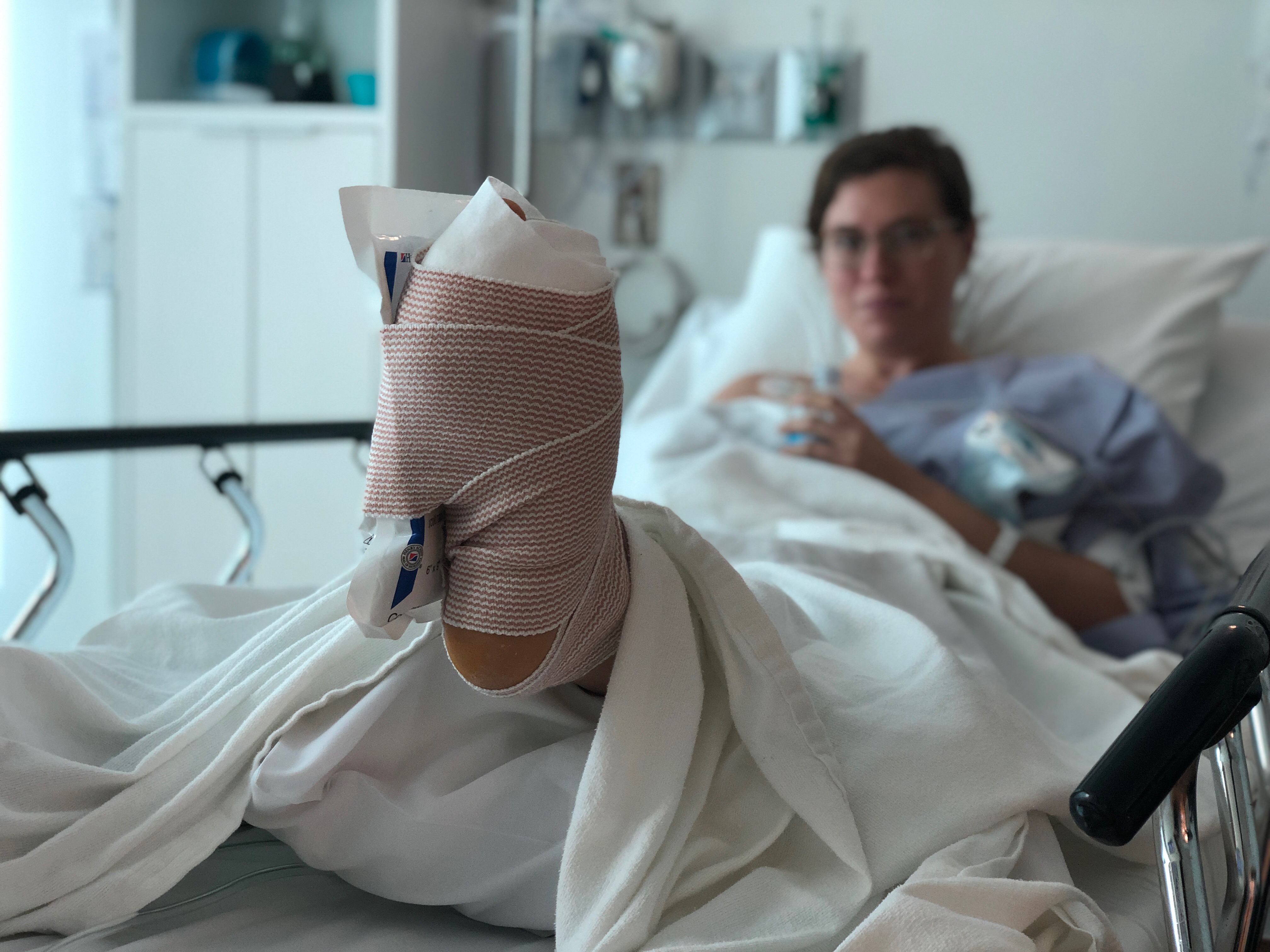
Of course, life doesn’t always go as we plan. In October 2018, I fractured my sesamoid bone in my left foot. This left me debilitated for months; it made walking extremely painful and running impossible. After spending lots of money on lots of doctors, I had surgery to remove the fractured bone.
Now my beautiful, strong, left foot has bounced back to 99% of normal, but 7 months of inactivity has left me with unimpressive endurance abilities. I also decided to go to Asia with a friend for 3 weeks, leaving me “only” 3 weeks off to hike this summer (hardcore first world problems here).
This has left me with the following options:
- I could still try to hike the Colorado Trail. 500 miles in 3 weeks means I would need to average 24 miles a day. I have less than 3 months to train, and I don’t want to injure myself again. So, nope.
- I could do part of the Colorado Trail. I really like the idea of a thru-hike and don’t want to split the trail up. I also really like setting specific goals and not just “seeing what happens”. So, nope.
- I could pick a different, shorter trail. I spent a lot of daydreaming about the Colorado Trail, so this was a hard pill to swallow. But I have decided that this is the best option for me. Colorado Trail, I will come for you one day!
But what trail to hike?
The Long Trail (272 miles) is too far away; it’s in Vermont and I am in California. The Wonderland trail (93 miles) is too short. The Tahoe Rim Trail (165 miles) does not intrigue me for some reason. I could make another attempt at a John Muir Trail thru-hike (211 miles). I love the High Sierra, but I am itching for something new.
After a couple days of feeling dejected, like I would never find my perfect trail, I had a crazy thought: what about the Sierra High Route? It’s the right distance (195 miles). It’s in the High Sierra. It easy to access from where I live. It’ll force me to improve my route finding skills. It’s a match!
Having a plan feels good. I’m excited and nervous and not worried about injuring myself training. The Sierra High Route will be my first true attempt at route finding, which means I have new things to think about: Is it time to buy a GPS for real? Should I print paper maps on 8.5×11 paper or 11×17 paper? Why isn’t every guide book as funny as Steve Roper’s?
I can’t wait to share with you all how lost I get because I routinely get east and west confused.
This website contains affiliate links, which means The Trek may receive a percentage of any product or service you purchase using the links in the articles or advertisements. The buyer pays the same price as they would otherwise, and your purchase helps to support The Trek's ongoing goal to serve you quality backpacking advice and information. Thanks for your support!
To learn more, please visit the About This Site page.


Comments 3
You will likely curse Roper’s understated prose several times during your hike. Good luck!
I am so excited to see any new features in which i have easily found the all documents http://documentswindows10.com here i am manage the all function those who an know the more features than please share.
not trying to spoil your aspirations for setting some type of record but i have spent last 40 days on both sides of glacier divide (roper uses snow-tongue pass to cross it) and due to 2018/19 snowpack you will not be able to safely move on north side of any of the 5 official glacier divide passes (keyhole, alpine col, snow-tongue, packsaddle, or lobe) without axes, crampons, and rope until next summer (depending on next year’s snowpack). the north side is just not melting fast enough whatever snow is there, it has its own microclimates (i got snowed on aug 8). i would totally go around on trail through evolution meadow and take piute canyon up to desolation lake. there is another pass i been using that is snow free but im not keen on ppl trekking through there for pissing contests or dying because my instructions were not good enough. if u really want to keep it off trail use darwin bench to lamarck col to lamarck lake to wonder lakes to emerson lake to piute pass trail up to piute pass and desolation. there’s class 3 route from wonder lks to 12353 but this summer it has a bus size chunk of snow at the top, leaving only class 4 route to the east (not good with a large backpack). i can post pics of all the glacier divide passes if you care to see. but for illustration, keyhole is 100% snow on northside, and alpine cole has snow so deep that every time you get near huge boulder poking from snow you risk falling through the snow 5-10 feet deep. the top is free from hot rock so with 2 axes and crampons its safe. it’s the unavoidable “snow too close to hot rock” sections below that are dangerous.