
 ">

Day By Day: Anaconda to Flesher Pass
This section flew by! The mix of inching closer to Canada and the anticipation of a little post-section vacation had us buzzing with energy, eager to tick off every mile. Now we’re trading trail dust for lake views, taking seven whole days to soak up time with family. See you soon, CDT!
Anaconda to MacDonald Pass
Day 103: 5.1 miles/ 800 ft gain
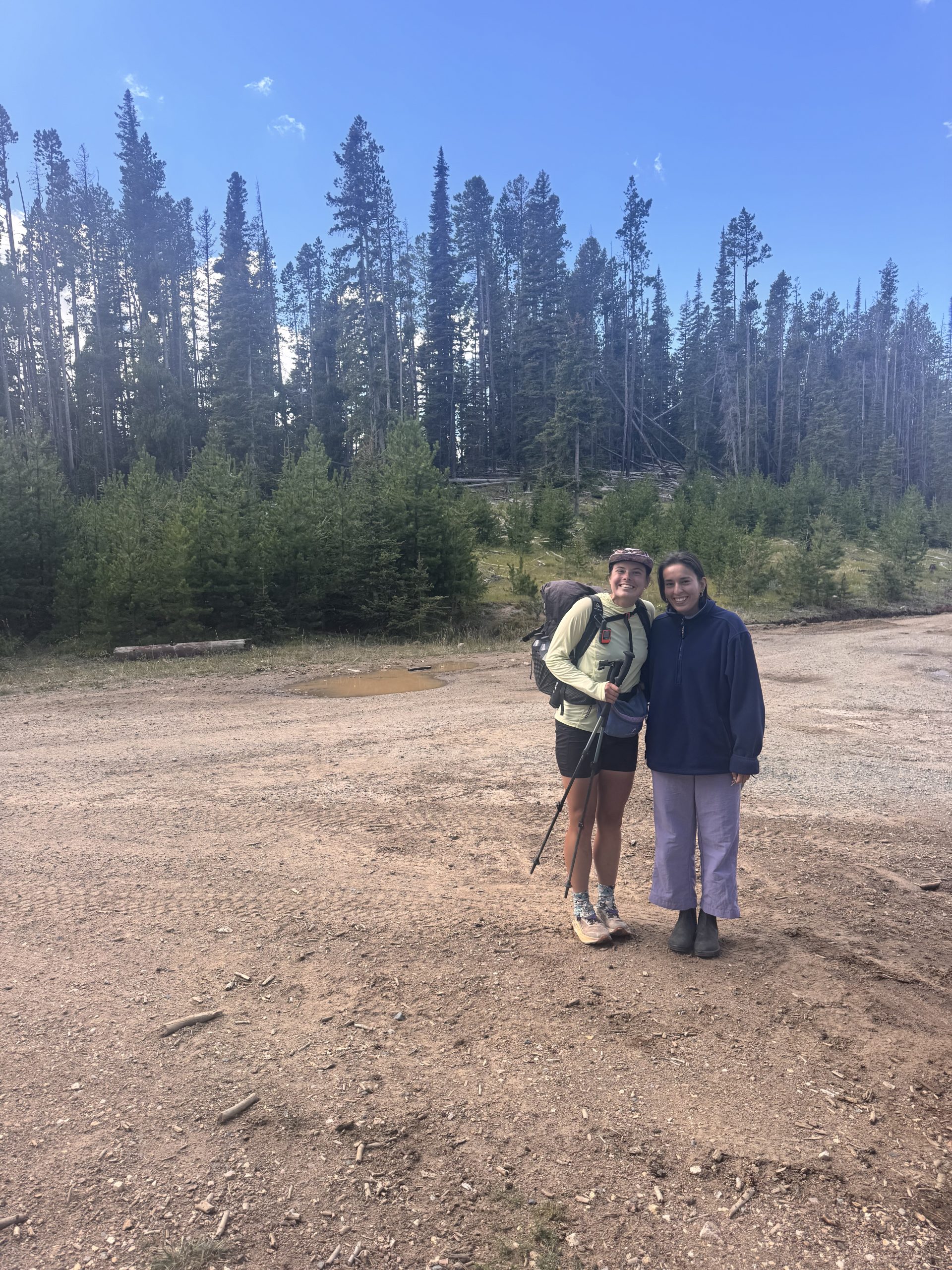
What a wonderful nearo! We slept in as we had completed all of our town chores the day before (laundry, showers, washing dishes, resupplying, etc.), so we had the whole morning to relax. My friend Camilla drove up to Anaconda from Bozeman to give us some trail magic! We caught up as we enjoyed a delicious breakfast. She brought us homemade banana chocolate chip muffins and then drove us back up to the trail. With her help, we were able to skip a truly atrocious road walk and get a bit farther than we planned which helped ease the load of our upcoming days. Thank you so, so much Camilla!
We were back on the CDT at around 1:45pm and started walking north from Champion Pass. The trail wove in and out of large forested and grassy areas as we crested over the rolling hills. The weather was fantastic, the incline and decline of the trail was gentle and the cows were friendly. After about 4.5 miles, we grabbed water from a cow trough spring and then walked a bit further before finding a flat campsite under a large spruce tree. We were set up and enjoying my camp time by 3:45pm!
Day 104: 23.5 miles/ 4,600 ft gain
After a few restless nights, I finally slept soundly. The wind died down overnight leaving it still and quiet in the morning. We saved some of Camilla’s banana chocolate chip muffins for breakfast and they were the perfect treat to start off the day with. It was cloudy over the valley and a bit cold as we got moving.
We left the last of the large rolling meadow and entered into the dense forest. The ground changed from rocky and dry to pine needle-covered, dense and damp. Mushrooms popped up all over the side of the trail, and I made it a game to try and spot as many as I could to pass the time. My mushroom hunt gave me a feeling of whimsy as I wound through the forest! The sky stayed a light gray with layers of clouds blocking the sun rays. It made the green of the Whortleberry plants that covered the forest floor bright against the dark soil.
We took a break around 7 miles in for a snack and to make a plan for the next section which included an alternate. The alternate ended up cutting off 3 miles, but was littered with downed trees across the trail. It took quite the amount of effort to climb over them so we’re not sure it was really worth it. When we reconnected with the trail, we were about 18 miles into our day according to our original route, and it was only 12:30pm- nice! We decided to push it farther than we had planned in order to set ourselves up to get to Helena earlier in the day.
The next stretch of 3 miles was cruisy through the tunnel of dense Lodgepoles. While we didn’t get much of an expansive view, there’s something special about walking through this type of forest. With the trees as skinny and close together as they are, it almost felt like we were floating through them. The sun burned its way through the clouds and we were blessed with deep blue sky for the rest of the afternoon.
We took a small break before working our next 3 mile section. We contoured through the Lodgepole vortex, rolling up and over the hills it covered. Every now and then, there was a break in the trees for us to orient ourselves amongst the other mountains. We had a short climb up to a spring where we took our next mini break. The sun had become quite intense at this point and the high branches did little to shade us.
With a little over 3 miles until the next water source, we kept moving, first up a 500ft climb and then down steep switchbacks. The tiny stream was clear and flowing well when we arrived. We gathered a few liters and continued on to find a campsite which proved difficult on the slope.
The next flat spot ended up being a mile past where we wanted to stop, but at least that shortened the next day a bit! We set up camp along the edge of a pond at about 4:15pm, later than our usual stop time for the past few sections. Ramen was for dinner, Dots Pretzels for a snack and peach rings for dessert!

Day 105: 12.5 miles/ 1,600 ft gain
My watch buzzed at 5:52am and to my surprise, it was still fairly dark outside. Montana loses about 90 minutes of sunlight during the month of August, and I can see glimpses of fall setting in. I grabbed the bear bags and got a jumpstart on breakfast, oatmeal and coffee, before Devin woke up. The sun started making its way into the horizon and it got bright quickly. We were on the move by our usual 7:00am, excited to make it to MacDonald Pass and eventually Helena.
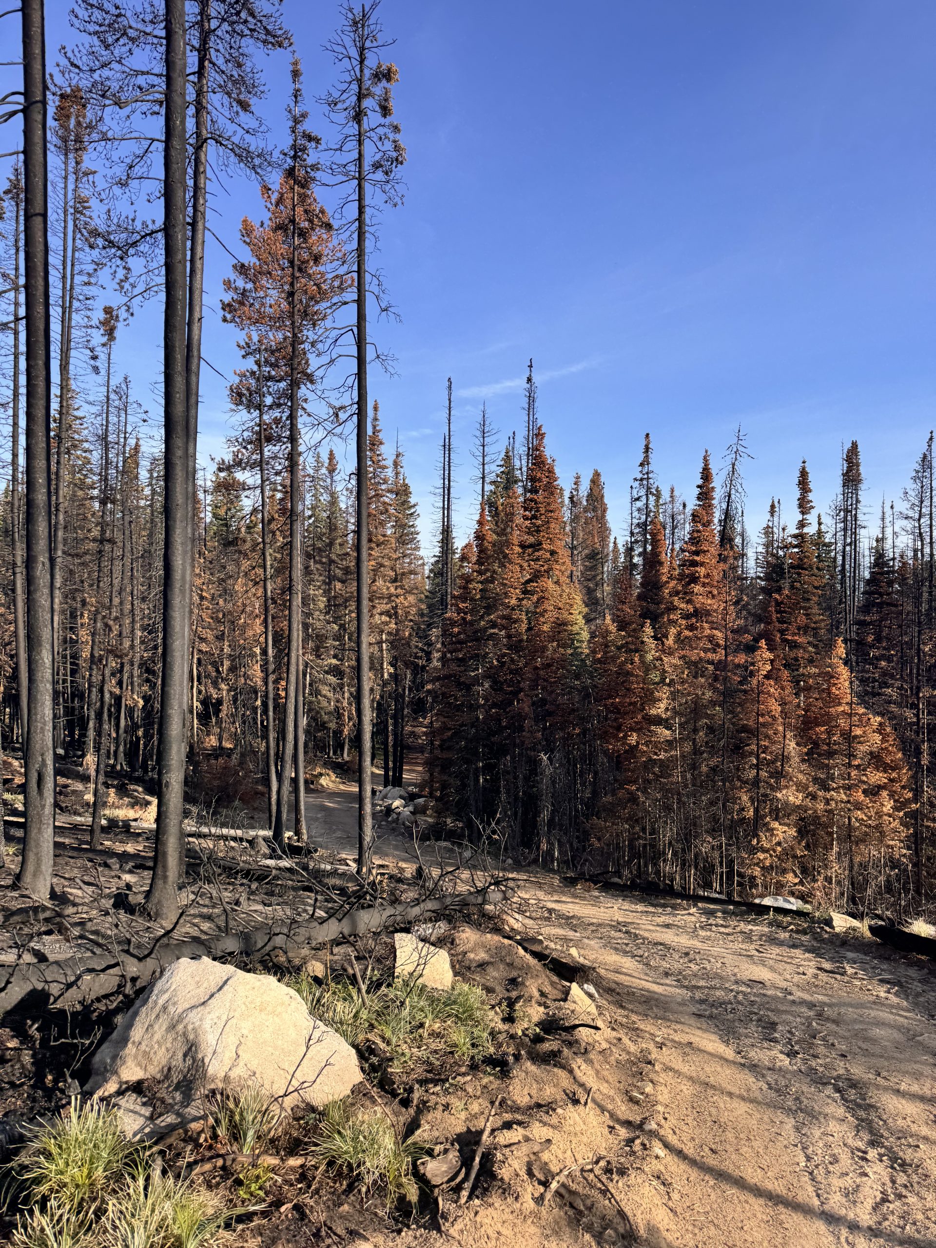
The first 5 miles or so were on a well-maintained dirt road. We cruised this part, walking quickly with the excitement of going to town fueling us. We passed by meadows and forested areas as well as some private properties with small cabin structures that overlooked the valleys to our east and west. Around mile 6, the road transitioned to a trail and we went through a very recent burn. The Jericho Fire burned in June and had this section of the CDT closed and rerouted for awhile. It recently reopened, and it was jarring to walk through the blackened scar. Thankfully, fire crews got this put out quickly and it didn’t burn too much.
Following the burn, there was an area of intense blowdowns. We had to tackle these for the entire last 5 miles to MacDonald Pass. Luckily, they got sparser as we continued on. Around 10:00am, I noticed that it was already very warm and a bit humid. I checked the weather with our 1 bar of service and it turned out that today had a high in the low 90s. Thankfully, we only had a few more miles to hike or I would melt. We made it to MacDonald Pass and within 15 minutes, we had a hitch down to town. Thank you so much for the ride, Shannon!
We went straight to the laundromat, then made our way around a mile radius to check off our town chores. After laundry, a shower and shopping for our resupply, we made it to the buffet at Pizza Ranch per Devin’s request. I have to admit, $14 a person was a pretty great deal for all of the food we consumed! We hitched back to the trail and found a flat camp spot near the radio towers. It wasn’t our most scenic campsite, but it also wasn’t our worst.
MacDonald Pass to Flesher Pass
Day 106: 18.2 miles/ 2,400 ft gain
Pink and orange clouds greeted us this morning over the horizon. This campsite proved to prettier than expected with the sunset and sunrise colors! We packed up camp slowly, enjoying the view. Though, once the sun popped up from behind the clouds, it was already warm. So, we got moving by 7:00, hoping to miss the hottest part of the day.
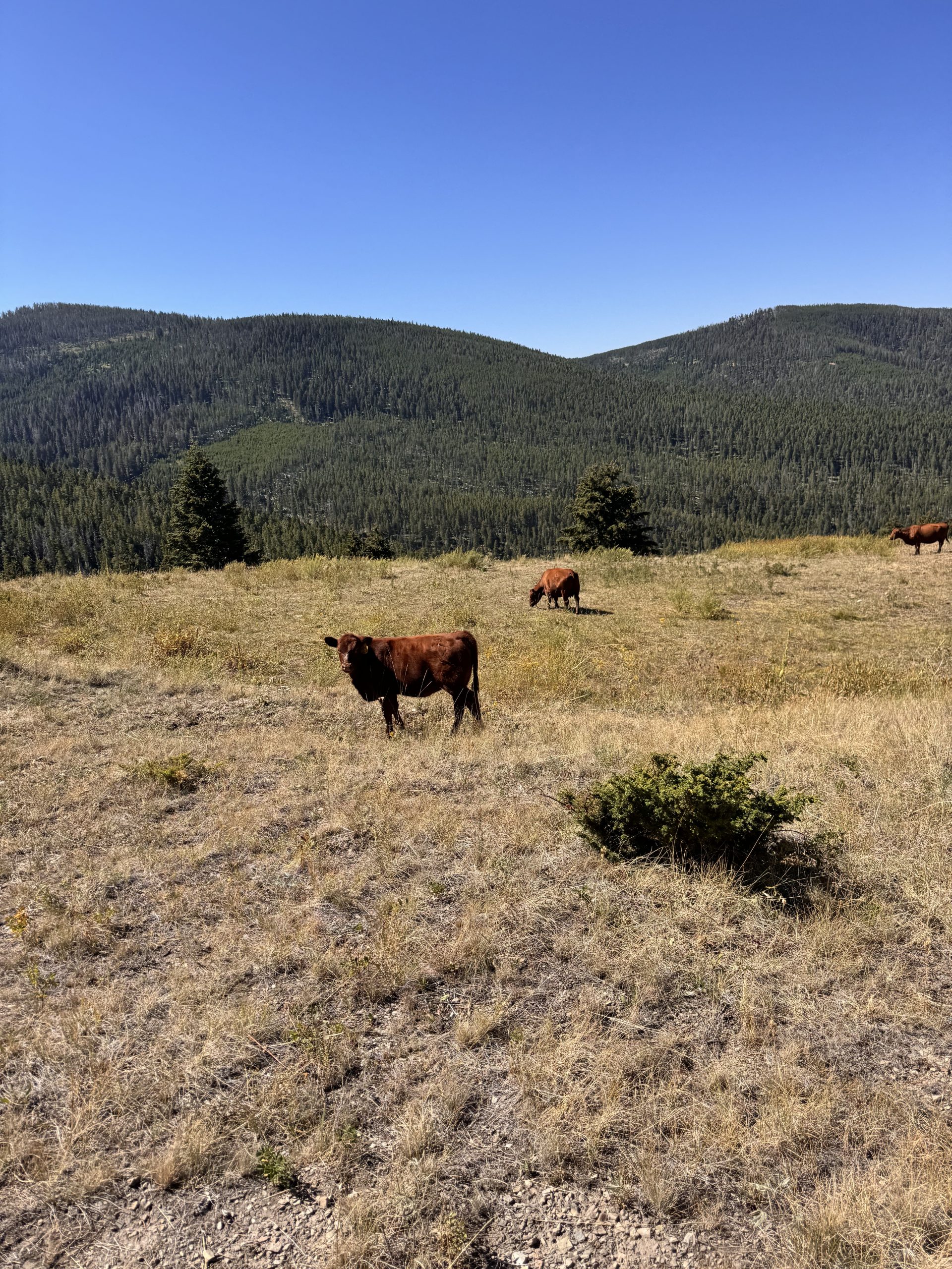
The first 3.5 miles were all downhill, first on very rocky, uneven trail and then soft dirt through the forest and meadows. We encountered many families of cows, some hiding in the trees and others grazing on the dry grass. Most were skiddish and ran as soon as we got close, though some were curious and walked right up to us as we took a snack break.
As the sun rose, it continued to grow more intense. We decided to cut our break short and get some more miles under our feet before it was scorching. The intense heat and lack of water forced us off of the official trail and onto a road alternate. While the road was certainly hotter with its lack of shade, it had abundantly more water. It also cut off a decent amount of miles which ended up being for the best as we ended our day before the intense afternoon heat.
We trekked on about 11 miles of roads throughout the late morning and afternoon- mostly weaving through the forest and the occasional meadow. The most notable landmark we passed was a closed off mineshaft that dropped deep into the earth. Easy hiking was made difficult in the heat and we struggled to stay motivated. We stopped under a bridge to filter water at Deadman Creek and decided that the first spot we found was going to be our stopping point.
About a half mile down the road. We found flattish spots beneath the shade of sone trees and called that good. As we were setting up, we watched a lone coyote sneak by. We melted in the heat all afternoon, but were grateful not to be walking.
Day 107: 17 miles/ 4,200 ft gain
Still dark when we woke up, we got ready in the moonlight. We decided on a 6:00am departure to give us an additional hour of cool air since we had so much climbing this day. Groggy and a bit unmotivated, we set off. We had 8.5 miles back up to the CDT with a very gradual climb of 2,400ft. This meant about 2.5 hours of hiking uphill. At about a mile I’m, we stopped at our only water source for the next 16 miles. We grabbed some extra water which made our packs nice and heavy for the climb ahead.
It was a grind all the way up to the trail junction. Though, we had a cool breeze for the majority of the climb and the sun didn’t hit us directly until an hour and 45 minutes in. We were so grateful not to be doing this part in the afternoon! The road was well-maintained throughout and the shade from the forest was plentiful. We made it back to the CDT at a little past 8:30 and took a well-deserved snack break.
Our next stop was Granite Butte Lookout, about 2.5 miles and 900ft of gain up the trail. We climbed out of the forest and up onto an exposed ridge where the wind whipped across. It felt fantastic against the harsh sun and the heat that was starting to become hellish. We took a mini break at the top next to the fire tower and then continued on our way, determined to finish by noon.
By 11:00am, we made it to Stemple Pass. The 4 miles of trail was mostly cruisy and downhill through the meadow. The views of the valleys to the west and east were expansive, and while a little hazy, it felt like we could see for hundreds of miles. We looked for a potential water cache, but we were disappointed to not find it. This meant at least another 2 miles and a 500ft climb to the next water source. We had our fingers crossed that this one was flowing!
These miles went quick, but were very sweaty. The temperature was hovering at 85 degrees and there wasn’t a cloud in the sky. We hit the junction to water right at 11:50am and and found a nice shaded camp spot amongst the Lodgepoles. Devin offered to walk the extra .4 miles to get water, so I set up the tent and our sleeping pads and bags while he was gone. We were relaxing by 12:30pm!

Day 108: 9.4 miles/ 1,600 ft gain
I woke up about 2 hours before my alarm and tossed and turned for a bit before giving up going back to bed. The anticipation of a short and easy day had my mind and body ready to go. I read to pass the time and got up a bit early to make breakfast. The instant coffee tasted like it came from a cafe with all of the chocolate chips I added to it this morning.
We pushed back our from our normal start time to 8:00am as we had less than 10 miles to Flesher Pass. The plan was for me to meet my mom there the following day with all of our stuff so Devin could slack pack Flesher Pass to Roger Pass. My mom and I would then pick him up at Roger’s as it was only a 15 minute drive between the passes. It’s funny to compare how quickly a car can cover the miles we spend hours walking. We ate and packed up slowly, but were still 10 minutes early as we started hiking.
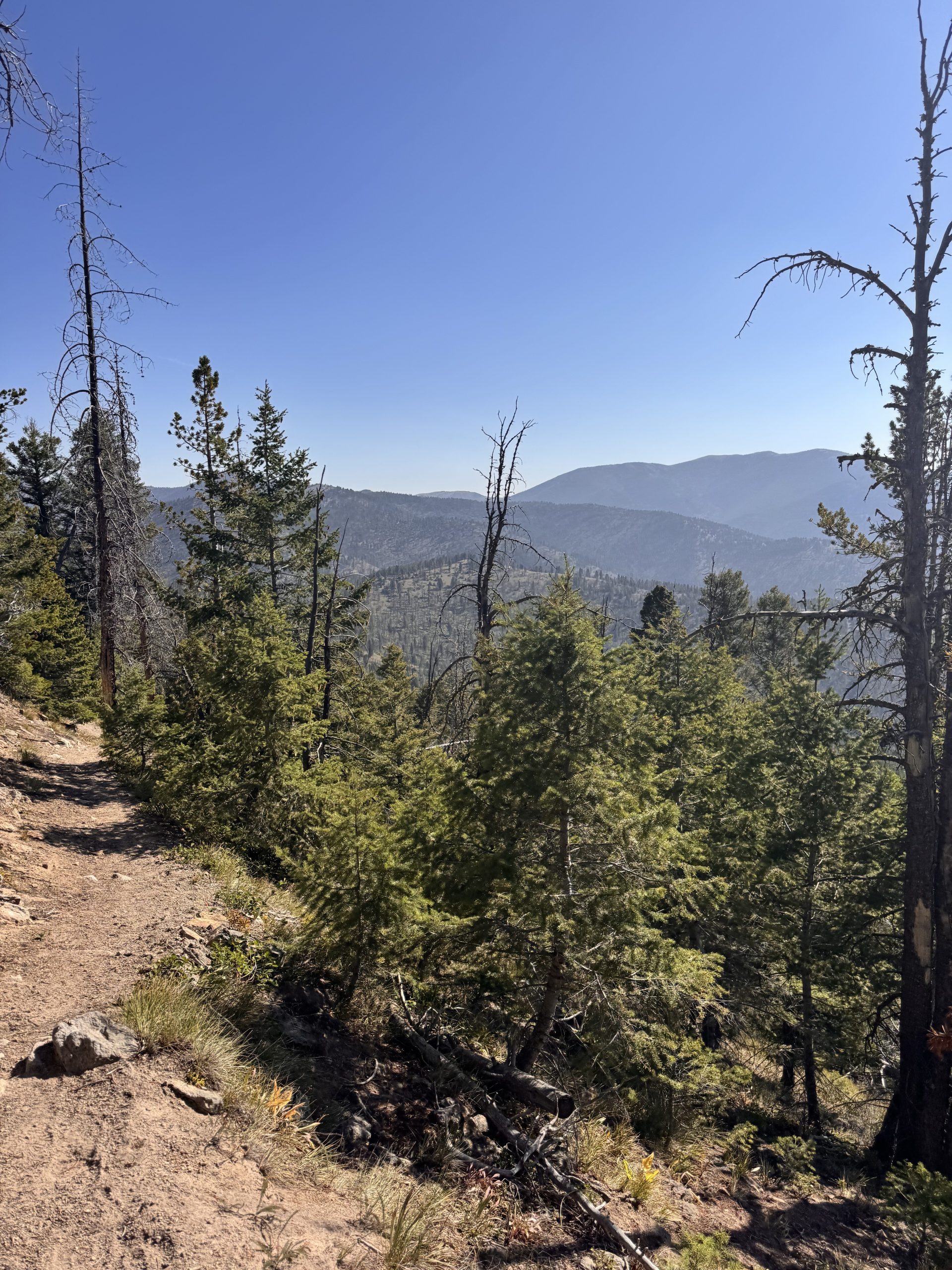
The air smelt smokey and there was a slight haze that settled between the trees. We climbed for the first 3 miles and the view from the top of the ridge showed deep layers of gray hanging over the mountains in the distance. My lungs felt it too, beginning to hurt about a mile into the day. After the climb, we descended over a saddle and traversed the side of the mountain to the north. We stayed in the forest for the rest of the day.
Over the next 6 miles, we walked the easy trail through the woods, both healthy forest and old burn areas beginning to grow again. The sun was hot, like it has been the last few days, and the last hour descending to Flesher Pass was exposed. Just like that, we had hiked the 9 miles and made it to my pick up spot by 10:45am. My vacation had officially begun!
We set up camp right outside of the quiet trailhead in a shaded spot. Lucky for us, there was some water in the bear box so we didn’t have to trek the extra mile down and back to the creek! We spent the rest of the day reading and watching movies, enjoying the breeze and shade of the trees.
Hearing that we got in so early, my mom agreed to drive down to get us after work. We were delighted to know, though albeit late, we were going to shower and sleep in a real bed that night. Devin headed out on his 14 mile sackpack quest to Roger’s Pass around 5:00pm while I stayed with our stuff at Flesher Pass. All was well until I got a call from him around 9:15pm. The first thing he said was: “There’s a pair of eyes blinking at me.”
He was being stalked by a mountain lion! In defense, he had his bear spray loaded and a cheeky attitude about his ability to take down the cat if it tried to jump him. He kept talking loudly to me on the phone and kept his eyes on the cat the whole time before finding a bathroom to shelter in. I’m sure he was less nervous than I was!
At 9:45pm, my mom rolled in and unloaded some trail magic in the bear box for hikers behind us. She drove a total of 6 hours after a long day of work to come get us- she’s incredible! We threw the rest of our stuff in the car and went to rescue Devin. By this point, it was pitch black out, and it was a good thing I lent him my headlamp. He came out of the run-in unscathed, and a bit hungry. We were officially off-trail and very excited to get our vacation started.

This website contains affiliate links, which means The Trek may receive a percentage of any product or service you purchase using the links in the articles or advertisements. The buyer pays the same price as they would otherwise, and your purchase helps to support The Trek's ongoing goal to serve you quality backpacking advice and information. Thanks for your support!
To learn more, please visit the About This Site page.
