
 ">

Everything I did wrong on the Teton alternate (and how to do hike it instead)
CDT: Guide Teton Alternate in 7 days
How to take the iconic side quest through the Grand Teton NP and the Gros Ventre Wilderness (southbound perspective). Plus camp spot tips!
The CDT is a pick-n-mix thru-hike, more alternates and detours than a bag of candy. Every hiker picks their own flavor of adventure. I was nervous about tackling the Teton Alternate solo and sobo in 2024. The available beta felt patchy, and most of the reports I found were from couples or groups. Could I really pull this off alone?
Here’s everything I wish I’d known before hiking the CDT Teton alternate.
🧭 Quick Summary: Teton Alternate Highlights
Total Distance: ~between 163 and 200 miles (including resupply detours)
Time: 7-10 days
Best for: Experienced hikers comfortable with cross-country travel and solitude
Risks: Burn scars, remote sections, sketchy scrambling
Why go? Jaw-dropping scenery, less-crowded trails, and a refreshing detour from the CDT’s dirt roads
🔎 Where to Find Beta on CDT alternates
FarOut (or Guthook if you insist)
The Waterton Terminus, Spotted Bear alternate, Big Sky Cut Off (don’t you dare – HYOH stops here), Mack’s Inn, Cirque of the Towers, the Gila etc. Most of them are listed on FarOut with waypoints, comments, and additional information.
Ley Maps
“Oh dude, you’re not really hiking the CDT without the side quests,” says the weathered almost-Triple-Crowner, duct tape barely holding his trail runners together. Love them or hate them, the Jonathan Ley Maps are legendary in the CDT world. Some hikers swear by them for their alternate routes, quirky notes, and helpful (though sometimes outdated) intel. I found them super useful for discovering little detours and shortcuts I wouldn’t have known about otherwise.
Best part? They’re completely free. Just download the Avenza Maps app and search for “Jonathan Ley CDT.”
Reddit / Gaia
There are countless extra routes floating around on forums and passed along hiker-to-hiker, some of the best beta is still word of mouth. I personally prefer CalTopo to navigate gpx tracks, especially since Gaia is now owned by Outside Magazine (which, unfortunately, has a track record of underpaying and undervaluing its staff).
The big, scary, dangerous Teton alternate
The Teton alternate isn’t on FarOut (formerly Guthook – can we please settle that debate already?). There’s no centralized, up-to-date source of comments about water, trail conditions, or route options. Maybe that’s part of why so few hikers attempt it.
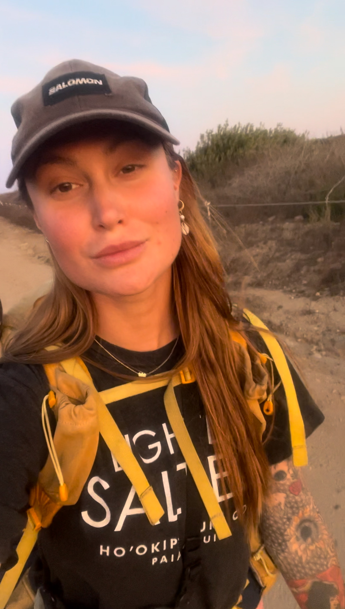
I’d been warned: don’t expect to see many people out there. (Spoiler: that was true.) Despite trying to recruit hiking partners for the alternate, I ended up solo – just me, my bear spray, and the backcountry. So here is what I did:
🧭 Planning Your Route
Reddit swears by making your own route. Yeah, cool, but no thanks. There seem to be two popular versions floating around:
a) leaving Yellowstone National Park (and the CDT) around Old Faithful, heading south through Bechler Canyon.
Pros: hot springs in Bechler Canyon
Cons: Bechler Canyon can be impassable in a high water year; missing the coolest geyser right along the CDT (before Shoshone Lake, sobo).
b) heading south at Heart Lake, Sheridan Creek Campground (8H2)
Pros: making most of YNP
Cons: crossing Snake River, slightly more miles
Conclusion: I didn’t want to ford Snake River solo and I also don’t care about a continuous foot path; I hitched from the South Entrance Road to Flagg Ranch – I lost my thru hiker status by committing this cardinal sin.
🛒 Resupply Strategy
After resupplying in West Yellowstone, I entered the park and ate my weight in pancakes and sausage at the Old Faithful breakfast buffet – fuel is fuel, right? Resupply options inside Yellowstone NP are expensive, and Flagg Ranch isn’t much better ($5 for a protein bar, $10 for chips). That said, Yellowstone has a wider selection, while Flagg Ranch offers free Wi-Fi. Bonus: Flagg Ranch is about a 2-mile walk from Polecat Hot Springs.
I hiked three days from there before resupplying in Jackson for the next leg – another three days to reach Green River Lake Campground, where I hitched to Pinedale.
⚠️ What I’d do differently:
I’d carry five days of food from Jackson. Then hike from Green River Lakes to the Seneca Lake Trail junction (~30 miles), and from there, take the Elkhart Park Trailhead (10 miles off the CDT) to hitch into Pinedale for resupply. Just note: getting back to Union Pass Road from Pinedale is a bit of a logistical challenge.

🥾 Daily Hiking Breakdown (Days 1–7)
The milage comes from what my GPS watch tracked, so potentially this differs from what you’d see on a map
Day 1: From Flagg Ranch to Glade Creek – 17 miles
From Flagg Ranch, you follow the quiet Ashton-Flagg Ranch Road to the Glade Creek Trailhead. There’s dispersed camping along the road, but it can fill up on weekends. Alternatively, you can wild camp along the Glade Creek Trail itself. Just be aware that the trail passes through a burn scar shortly after the trailhead, so choose your campsite carefully.
Day 2: Glade Creek to Dead Horse Pass – 26 miles
There is a register at the vacant Berry Creek ranger station, before crossing the shallow water and following the Webb Canyon Trail. From there, it is cross-country to Horsethief Pass, where you connect to the North Teton Crest Trail. The landscape is wide open, and you can clearly see where you’re headed – navigation was easy!
I camped past Dead Horse Pass (beware of the curious porcupine in the campsite), but wish I had camped before the pass for better sunset views.
Day 3: Dead Horse Pass to Death Canyon Shelf – 27 miles
Walking cross-country to Little’s Peak was pretty straightforward, too. Start early and take your time to admire the view from up here. Then climb down to Lake Solitude. Finding the spot to go down was tricky; somehow, my GPS kept changing its mind. Yes, it is steep and some lose material, but if you are climbing down actual rocks: you’re in the wrong spot! You should come down to Lake Solitude (Spoiler: there’s no solitude at Lake Solitude) from the north (does that make sense?)
You’re leaving the lost tourists behind, heading up Hurricane Pass to Alaska Basin and Sunset Lake. Which is stunningly beautiful and way quieter. I slowed down to enjoy this stretch. You have to camp outside of the park boundaries, between Fox Creek Pass and Marion Lake. It got a little late for me, ended up night-hiking, but was rewarded with an epic sunset view from Death Canyon Shelf.
Day 4: Death Canyon Shelf to Jackson – 19 miles
There are multiple ways to exit Teton National Park.
a) get back onto the Teton Crest Trail and Phillips Pass Trail, then road walk into Jackson (or hitch), which should be around 24 miles
b) take the Phillips Canyon Trail into Wilson and the road walk or hitch (distance unknown)
c) I walked up Rendezvous Peak and down the other side to take a bus from Teton Village to Jackson (16 miles)
Stealth camping behind Jackson
Resupply in Jackson (yes, there’s a Whole Foods, reason enough to take the Teton alternate).
Where to sleep “in” Jackson on a budget:
Follow Cache Creek Drive out of town until it turns into the Cache Creek Trail. It’s a popular area with mountain bikers, so expect some traffic. Walk past the main trailhead. On your right is the Hagen Trail. Just beyond where the loop reconnects with the Cache Creek Trail, there’s a discreet spot among the trees with enough room for one or two tents. You can get water directly from the creek.
Coordinates: N 43.449344° W 110.695767°
Oh, and FYI: you’re now in the Gros Ventre Wilderness (pronounced like Grow-Vaunt?)
Day 5: Cache Creek to Shoal Creek – 27 miles
Follow the trail alongside Cache Creek for a good stretch, navigation is easy and there is plenty of water access. The creek has several natural pools perfect for a refreshing bath, and in July, you can snack on thimbleberries and raspberries along the way. I spotted horse droppings and some campsites with fire rings, but didn’t see any other hikers.
I skipped Granite Creek Hot Springs – it just didn’t appeal to me – and passed through Granite Creek Campground, which was bustling, so I kept moving.
⚠️ Warning: The Shoal Falls Trail weaves through a large burn scar. Camp spots here are limited and can be hazardous, so plan accordingly.
I had to walk quite a way before finding a somewhat safe campsite near Shoal Creek. Alternatively, you could stealth camp earlier near the trailhead at Swift Creek.
Day 6: Shoal Creek to unnamed lake – 19 miles
You keep following the Shoal Creek Trail to Shoal Lake, here you can take the Upper Falls Cut Off Trail if you want to avoid going cross-country over loose scree and do the class 5 scramble. I went cross-country instead. I stocked up on water at the lake outlet, but there were plenty of snow melt streams coming up.
⚠️ Warning: This next section is completely exposed. Please check the weather and make smart decisions.
The route goes past Palmer Peak before you’re walking straight ahead to “the wall”. Compared to the scrambling route down to Lake Solitude, this spot was easy to find. It didn’t look as daunting as imagined. Yes, you need your hands to grab rocks and make sure the rocks that you’re holding on to aren’t loose (duh!). It’s just a few moves to get up with lots of stable spots for your feet.
I heard from another SOBO hiker that he skirted west of the wall and was able to simply walk up to the ridge, avoiding the scramble altogether.
After that, the real challenge began: a long stretch of loose rocks and scree that slowed me down significantly. I got cliffed out a few times when I lost track of my GPS, so stay sharp! Eventually, I dropped down to a stunning (unnamed?) lake just past Doubletop Peak, where I decided to set up camp early and call it a day.
Day 7: Unnamed lake to Green River Lake Road – 28 miles
Follow Tosi Creek Trail, which is again easy to find, down to the Green River Lake Road. Here you can either hitch directly into Pinedale (then it’s around 19 miles from the lake to the road) or continue 9 miles on a very dusty dirt road to the Green River Lake campground, where you reconnect to the CDT. There are lots of people camping along the road, so try your luck for some trail magic or snatch a spot to camp.
❓FAQ Teton alternate
Do I need a permit?
No, not for this itinerary. Yes, you need a permit to camp inside Teton National Park. Luckily, the CDT alternate route is planned so your nights fall outside the park boundaries. Still, double-check maps, apps like Gaia and CalTopo show public land and park limits.
For the Gros Ventre Wilderness, no permits are required unless you’re camping in an official campground. Either way, always follow Leave No Trace principles to minimize your impact.
Is it difficult?
In my opinion, no. The real challenge is the loose scree section near the end, which was frustrating for a few hours. Otherwise, the route is fairly straightforward to navigate, even if you don’t have much cross-country experience. The scrambling portion demands strong legs and ankle stability.
Is it lonely?
Absolutely. Aside from meeting Twilight at Flagg Ranch and two CDT NOBOs in Alaska Basin, I didn’t see any other hikers outside the main hotspots like Teton NP, Jackson, the hot springs, and Granite Creek Campground. If something had happened out there, it could’ve been days before anyone found me. I recommend carrying a satellite communication device and backup GPS navigation – whether that’s a GPS watch with the route loaded or an InReach, in case your phone dies.
Is it worth it?
Definitely. Hiking the Teton alternate felt almost like a vacation from thru-hiking, even though I was still hiking. Both the Tetons and the Gros Ventre Wilderness are stunning. Sure, I skipped some miles of the official CDT, but I’ve heard the section around Dubois is mostly dirt roads anyway. Plus, when I hiked in 2024, a raging wildfire had burned along that CDT section.
If you’re curious about it, go for it. It’s not any harder than hiking the CDT – you’re strong and feral!
🗺️ Resources and GPX Links
Big thanks to Packmule and his comprehensive information, which can be found here. I based my hike on his data, and it worked perfectly. (I hiked his blue and pink line)
Here is a good overview of CDT alternates by The Trek.
More about Jonathan Ley and his maps.`
Nobo direction by Francis.
CDT alternate in Germany with beautiful pictures by my friend Annika (Ravenclaw).



This website contains affiliate links, which means The Trek may receive a percentage of any product or service you purchase using the links in the articles or advertisements. The buyer pays the same price as they would otherwise, and your purchase helps to support The Trek's ongoing goal to serve you quality backpacking advice and information. Thanks for your support!
To learn more, please visit the About This Site page.

Comments 3
Very interesting writing & super beautiful pictures. I used to work at Whole Foods in Jackson Hole but I just drove there from Idaho – so I didn’t get to see south of there or the east side of Teton’s. It’s nice to hear & see it. I’m in my 70’s now so thank you for taking us along!
Hi Wendy, not sure how long ago you worked there. Two lovely employees sent me on my way with heartfelt words of encouragement when I passed through
Glad you like the post. Thank you for your comment, wishing you all the best 🙂
Great overview and thanks for the shout-out!
To everyone who is thinking about doing the Teton alternate: Do it! It was one of my favorite parts on the CDT.