
 ">


Super Moon & Super Noodz: CDT New Mexico
Continental Divide Trail
November 2nd – 6th, 2025
Last Logistics
The morning after our zero day in Silver City, we milked the hotel’s continental breakfast for all it was worth one last time. I’m pretty sure The Show stuffed down two whole waffles. We grabbed a few string cheese sticks (an odd breakfast item, but they had them) and apples to pack out and eat for lunch. A local news station was on the TV in the breakfast nook, the anchor reporting on the current issues with Air Traffic Control (ATC). If you live under a rock, here’s the gist of it. As a result of the government shutdown this past fall, there were widespread ATC staffing shortages, causing a significant number of flight delays and cancellations. This reminded me: we should probably figure out how we’re getting home from the trail soon.
THE MVP of trail angels
At the Halloween party, Joy introduced us to a friend of hers named Tim, who she hiked the John Muir Trail with. Tim lives in El Paso, Texas but is a prominent trail angel for the southern New Mexico section of the CDT. According to him, he single-handedly maintains many of the water caches within the last hundred or so miles of the trail. He also runs his own donation-based shuttle service to and from the southern terminus. This guy is a legend and THE MVP of CDT trail angels, if I had to pick one top dog. He sacrifices much of his own time and money driving countless hikers and water jugs around to make everyone’s journey run smoothly. I honestly don’t know what we’d do without him.
While at breakfast, The Show texted Tim asking to arrange our ride from the southern terminus. We had a unique proposal for him, however. Since he lived in El Paso, and that was the airport we wanted to fly out of, would he be able to drive us straight there from the terminus? The typical route home for many hikers includes a drive back to Lordsburg, the last New Mexico town, and then taking a train or bus to an airport (El Paso, Tucson, etc) from there.
We figured why not cut out the extra step and save ourselves some travel time, especially if Tim was going back home anyway. Tim texted back that he could do that, and that we were welcome to stay at his house, and he’d drive us to the airport the following day. Hell yeah, what an unexpected and generous offer! We were totally assuming we’d be getting an Airbnb or motel room and an Uber for that portion of the journey.
Does she even hike the trail?
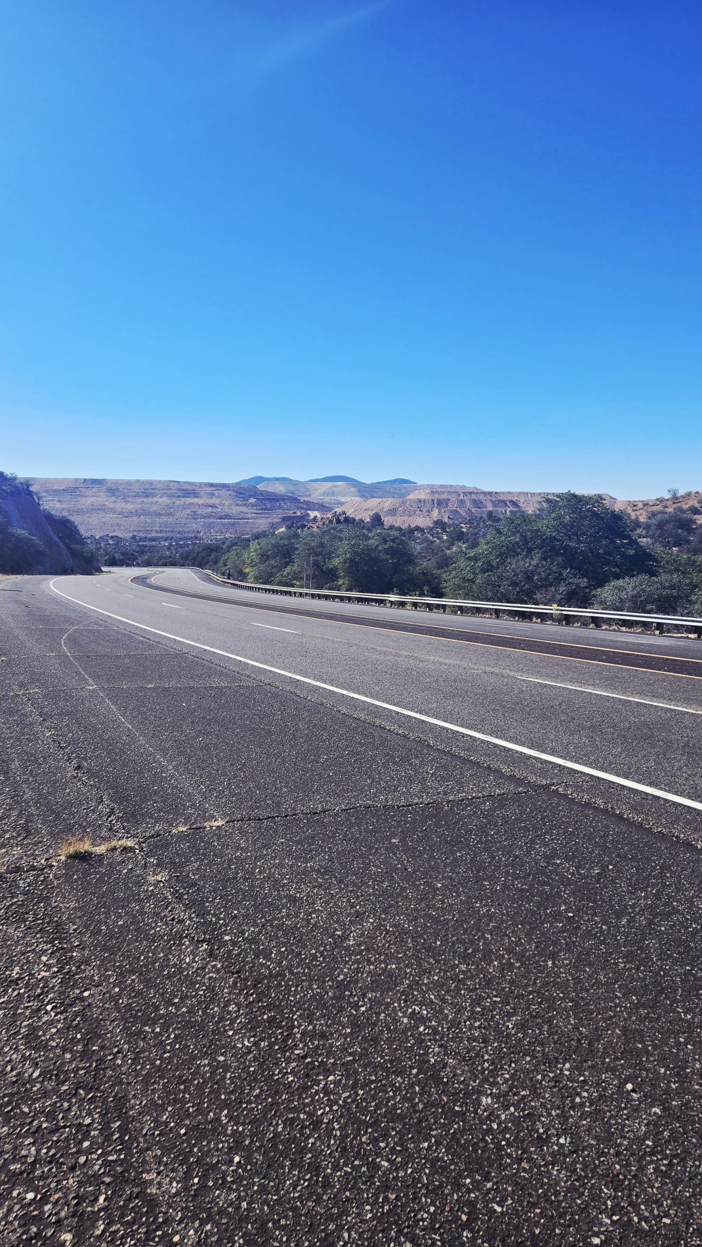
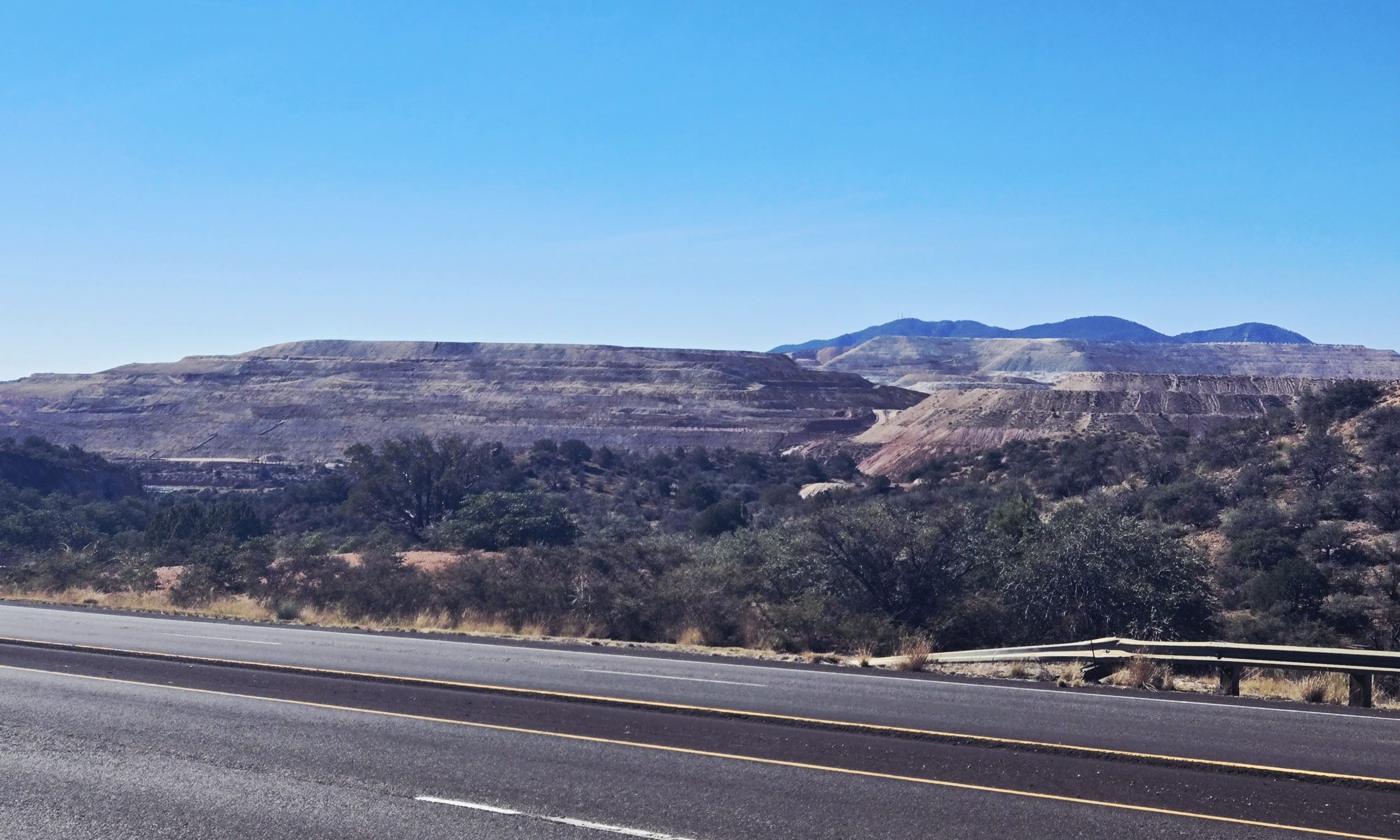
Heading out from Silver City we were back on the highway. You shouldn’t be surprised by this route choice at this point. It was faster, and we were about a week out from the southern terminus, so the finish line was in sight. The motivation to be done with it was strong. Full Circle and Samples decided instead to take the red line, since there was some “secret brewery” hikers can camp at along the way. The Show and I don’t drink alcoholic beer so there was nothing in it for us to go there.
We weren’t sure when they were planning to finish (I’m not sure if they did either, at that point), but we figured we’d catch them somewhere down the trail or in Lordsburg. Midnight and Joy, by the way, were a full day ahead of us due to their slackpacking. They were planning to get to the southern terminus three days before we were. After we said goodbye in Silver City that was the last time we saw them. They successfully finished the CDT on November 6th.
Since we were locked in for a ride with Tim on our finish date, November 9th, I booked our flights out of El Paso on the 10th while walking the highway. There was excellent service for the first few miles out of town. It really puts it into perspective how close you are to done when you book your homebound flight. I’d been pining through the grind for this moment for awhile now and here I was in it. Crazy how time works.
Betting on Water
A “pretty good” bet
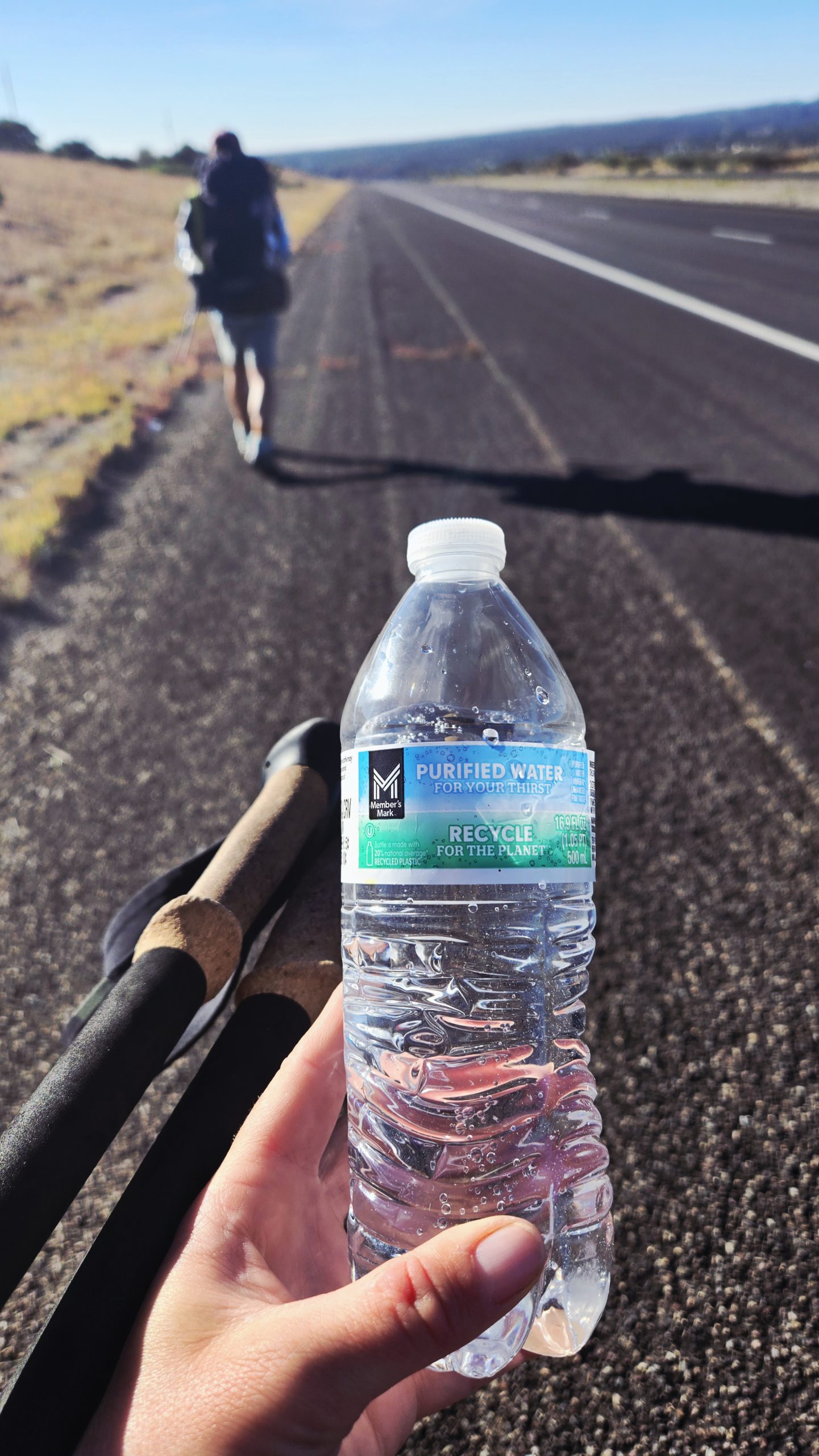
A few miles in, a guy driving a moving van pulled over and offered us a couple bottles of water. We graciously accepted, figuring we should take all the water we could get; we were again going in blind on the road’s water situation. For the 47 miles to Lordsburg, the options were as follows: an RV park, a volunteer fire department, a CDT trailhead with a cache, flagging down and begging passing vehicles. We weren’t 100% certain any of these were reliable, honestly, probably not even 75%. But sometimes it’s a little exciting to live on the edge. Plus, RV parks always have water spigots. That one at least was a pretty good bet.
Statement about spigots redacted
It was a terrible bet. This “RV park,” in reality, turned out to be more appropriately termed a “trailer park.” Yes, the mobile homes there had wheels and looked like RVs. But these ones weren’t going anywhere any time soon, nor had they in awhile. Many had semi-permanent fixtures such as decks built around them. It was a neighborhood, not a campground. Maybe they still have a spigot somewhere? We walked in to check it out, heading over towards the tiny building that housed the office. There didn’t appear to be an attendant around, and no one answered the door when we knocked. A large sign by the door read “NO WATER FILL-UP.” Fuck.
The Show and I stood around hesitating, trying to decide how to proceed. Should we wander around and look for a spigot anyway? Should we ask those people over there in their yard? Maybe we should have, but we felt a little awkward and concerned with trespassing. There was another sign on the office building that warned “Residents Only, Visitors by Appointment” or something to that effect. We figured we’d try the fire station instead.
Going all in
A few miles down the road we were approaching the turnoff to the fire department. What looked to be just off the road on Google was a little further down a dirt road in person. It wasn’t that far, but we weren’t keen on doing the extra out and back after we’d wasted time doing so at the “RV Park.” I’m fairly certain it wouldn’t have been a waste. There’s no way volunteer fire fighters would turn away a couple thirsty hikers empty bottled. We’d heard stories of hikers getting water at fire stations before, so it was a thing. Ultimately though, we decided to push all our chips into the center of the table and roll the dice on the trailhead cache.
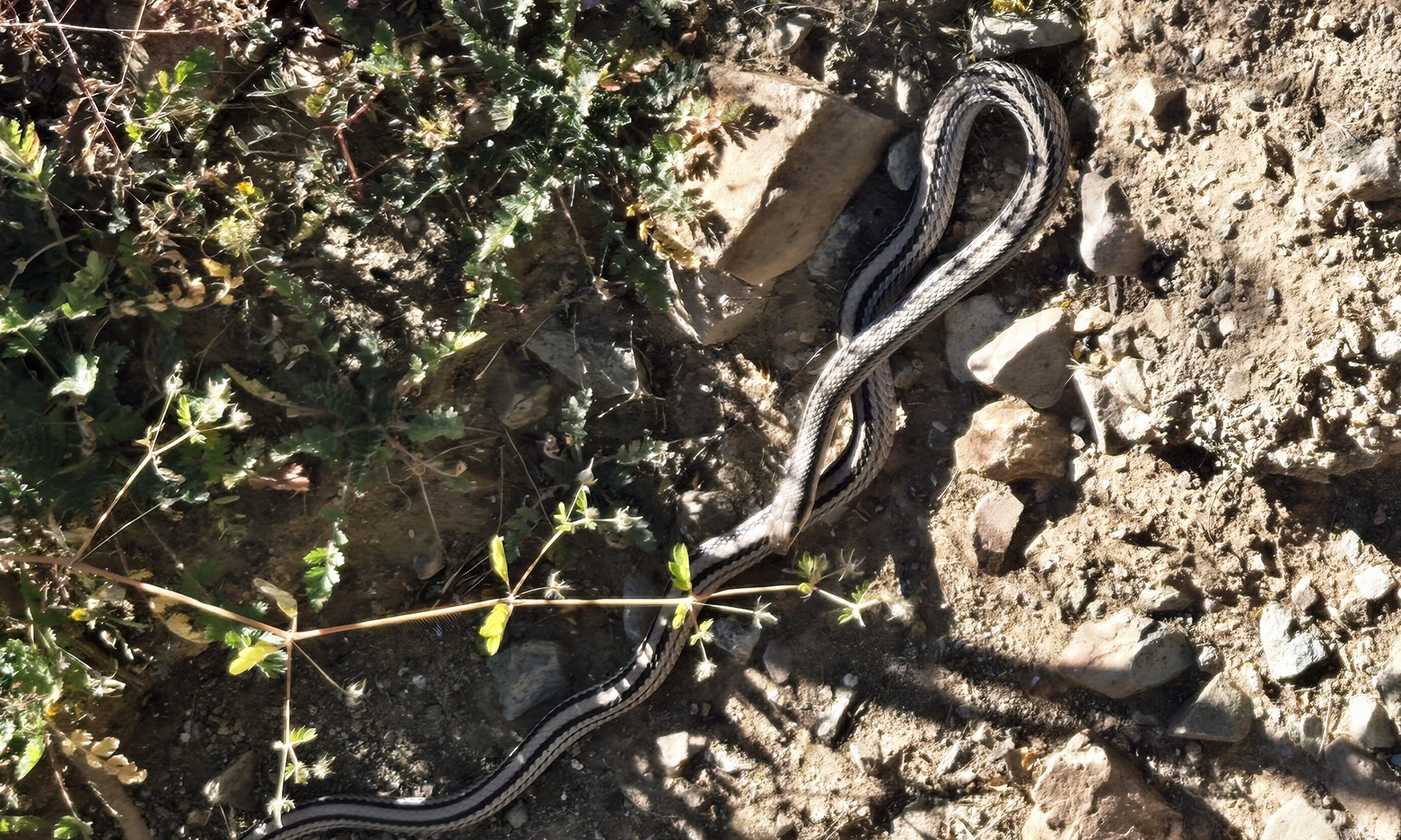
Western patch-nosed snake (non-venomous).
Rationing
We knew the cache had been regularly maintained this season, but the latest FarOut comment on it saying it was fully stocked was from a couple days prior. A lot can change in a couple days. If a whole group of hikers came through, which it did, since a number of us were bubbled up from the Halloween party, it could easily have gotten depleted already. We could only hope for the best, not knowing what we would do if it was empty. The Show and I rationed our water for the remainder of the day, just in case, leaving at least enough to be able to cook dinner and breakfast with. Beyond that, we’d figure out later.
When we arrived at the trailhead we immediately dropped our packs, gathered our water bottles, and made the short walk to the trail to find the cache. There was water! It wasn’t full, but there were at least two or two and a half gallons left. Plenty in combination with the amount we already had to get us through the night and the next day, but still leave some for other hikers. We were so relieved! I’d been a bit thirsty that afternoon due to my conservation efforts. I was glad I’d be able to drink my fill that evening rather than fighting the instinctual urge to consume more than I intellectually knew I should.
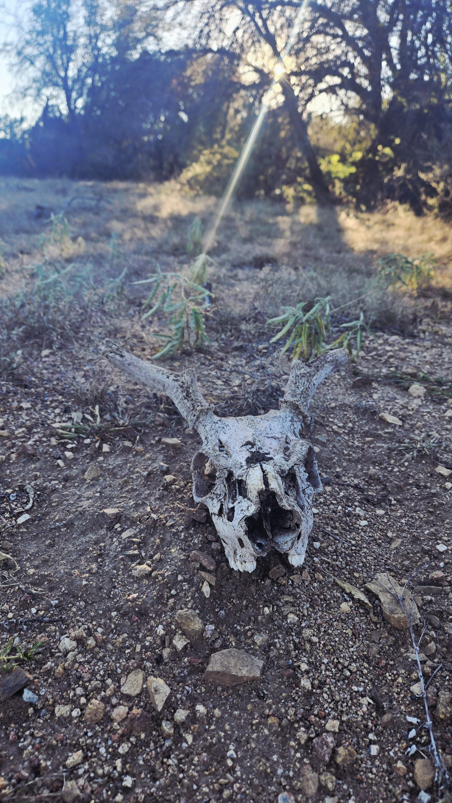
Deer skull
Anguished cattle
We hadn’t really had a camping plan for that night but decided to stay right at the trailhead. There was a lovely muted orange and yellow sunset we viewed from the tent while cooking dinner. As soon as it got dark and we settled down to sleep, a nearby cow groaned loudly. For whatever reason, it was apparently not having a good time.
About every 30 seconds for the next, at least, half hour, this cow moaned and groaned in distress. What the fuck is wrong with this thing; why won’t it shut up?? It was impossible to ignore and fall asleep with that going on in the background. I eventually had to dig out my ear plugs to muffle the sound a bit. Pro-tip: always carry ear plugs on a thru! Especially if you’re going to be sleeping in shelters and hostels. A lot of old white guys sound very similar to anguished cattle when they snore next to you.
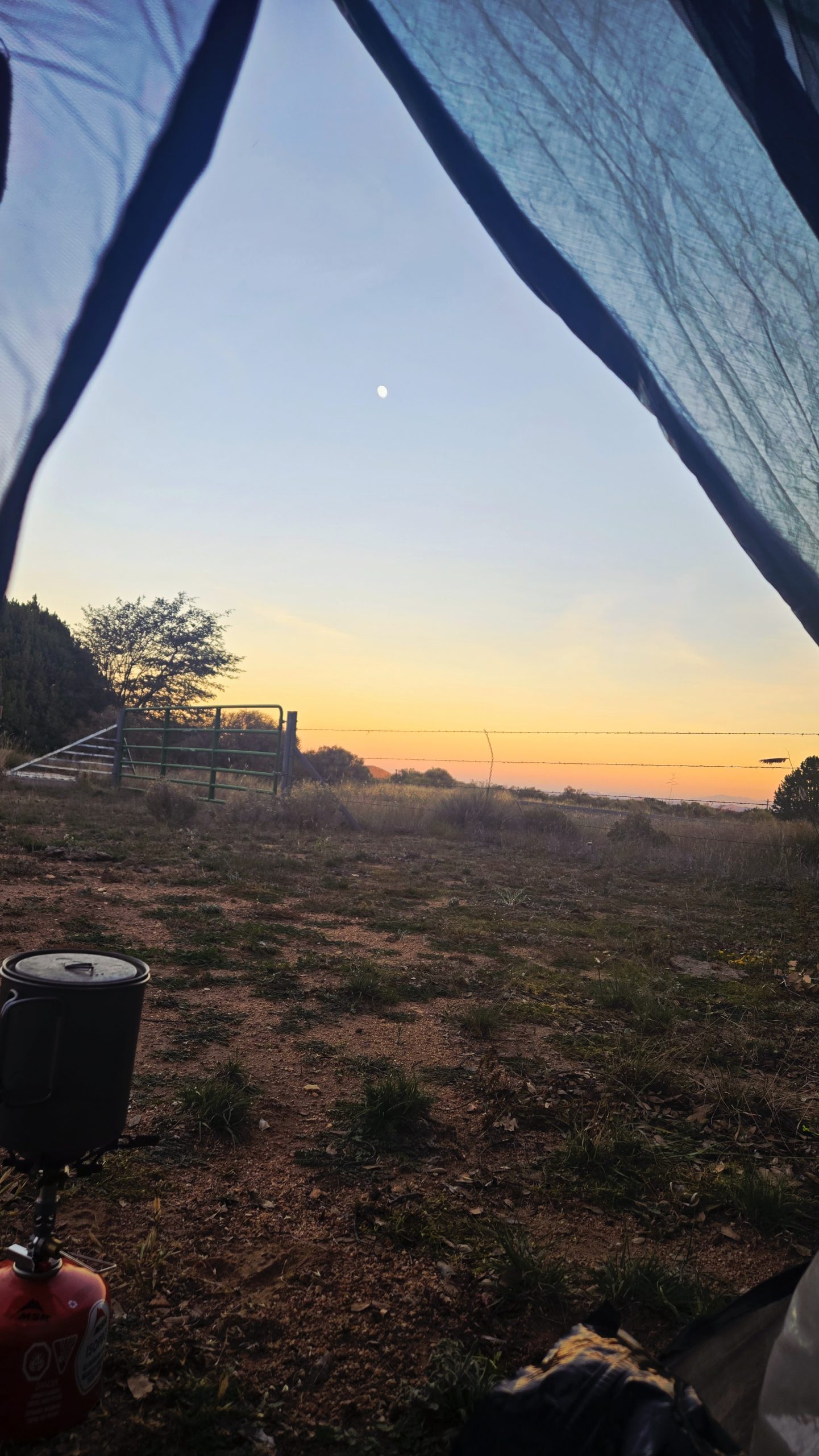
Sunset from our campsite at the trailhead.
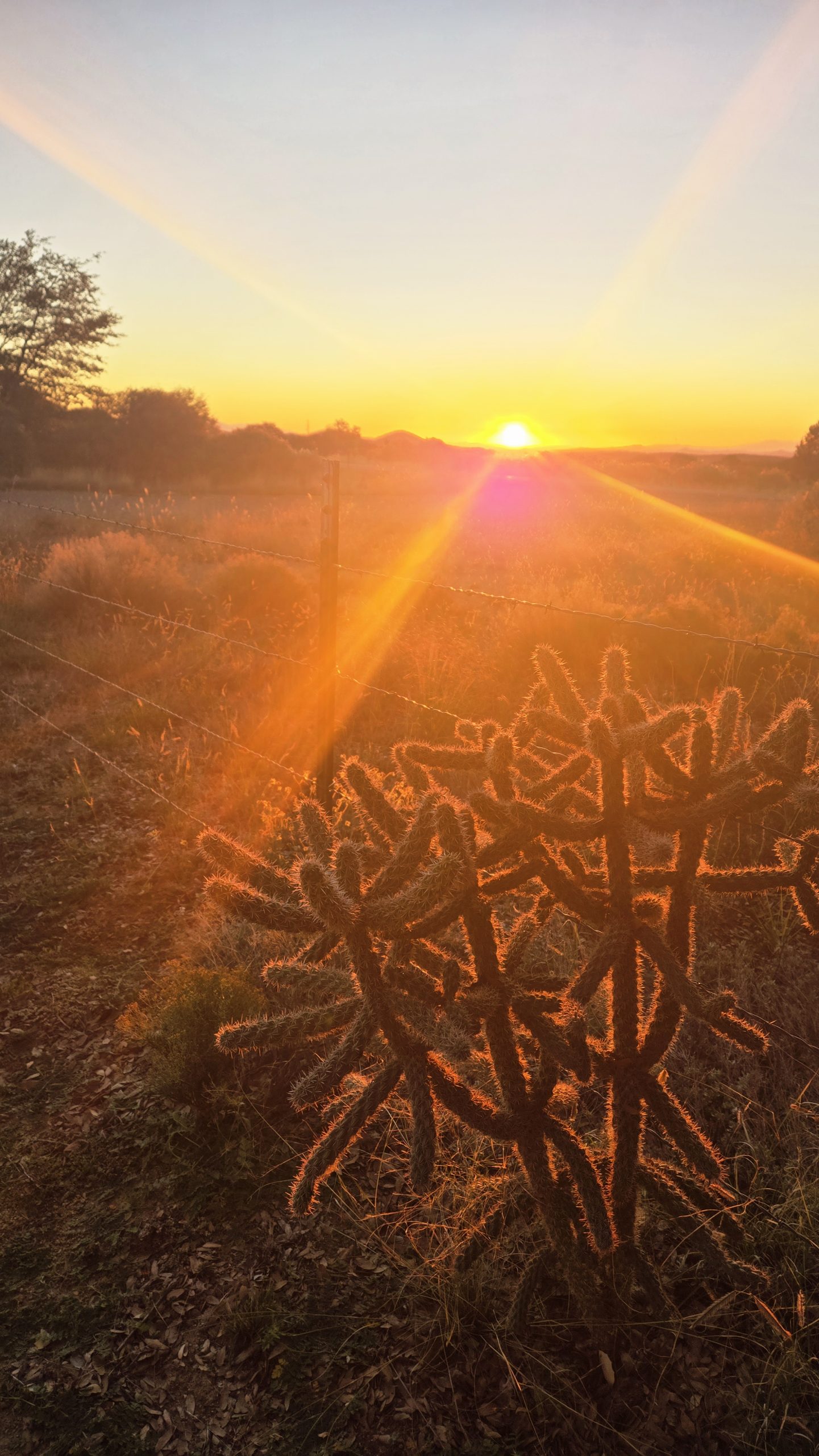
Sunrise the next morning ft. cholla cactus.
The Rest of the Road
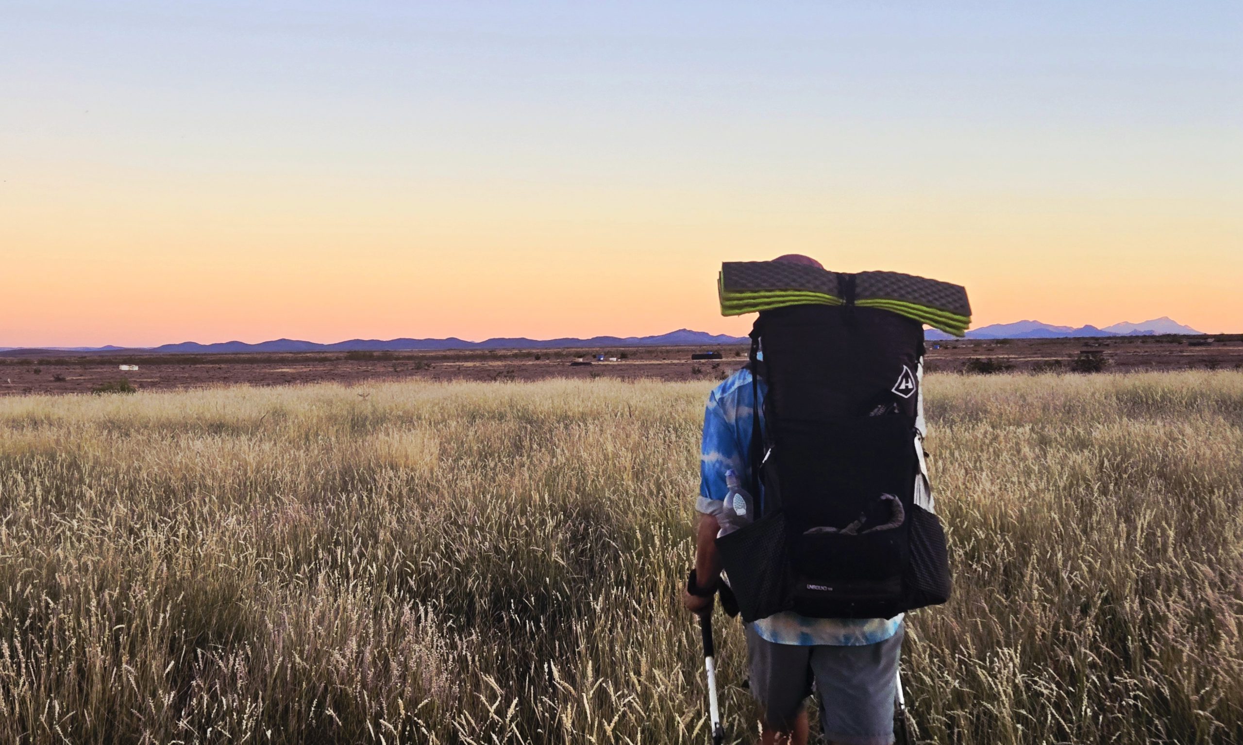
In the morning we began our last 25 miles of road walking of the CDT. That’s right, we’d be taking trail for the rest of the way after Lordsburg, if you can believe that. It turned out to be rather scenic. Many miles in the distance we could see the hazy layers of a large mountain range. It was unexpected, as I’d assumed all we’d see going forward was flat. On either side of the road, we began to see various shapes and sizes of plants with their shaggy brown stalks and their rounded tops, a green ball of spikey elongated leaves. We these yucca or Joshua trees? Some were large enough that maybe they could be immature Joshuas? I wasn’t sure, so I entertained myself looking them up while walking.
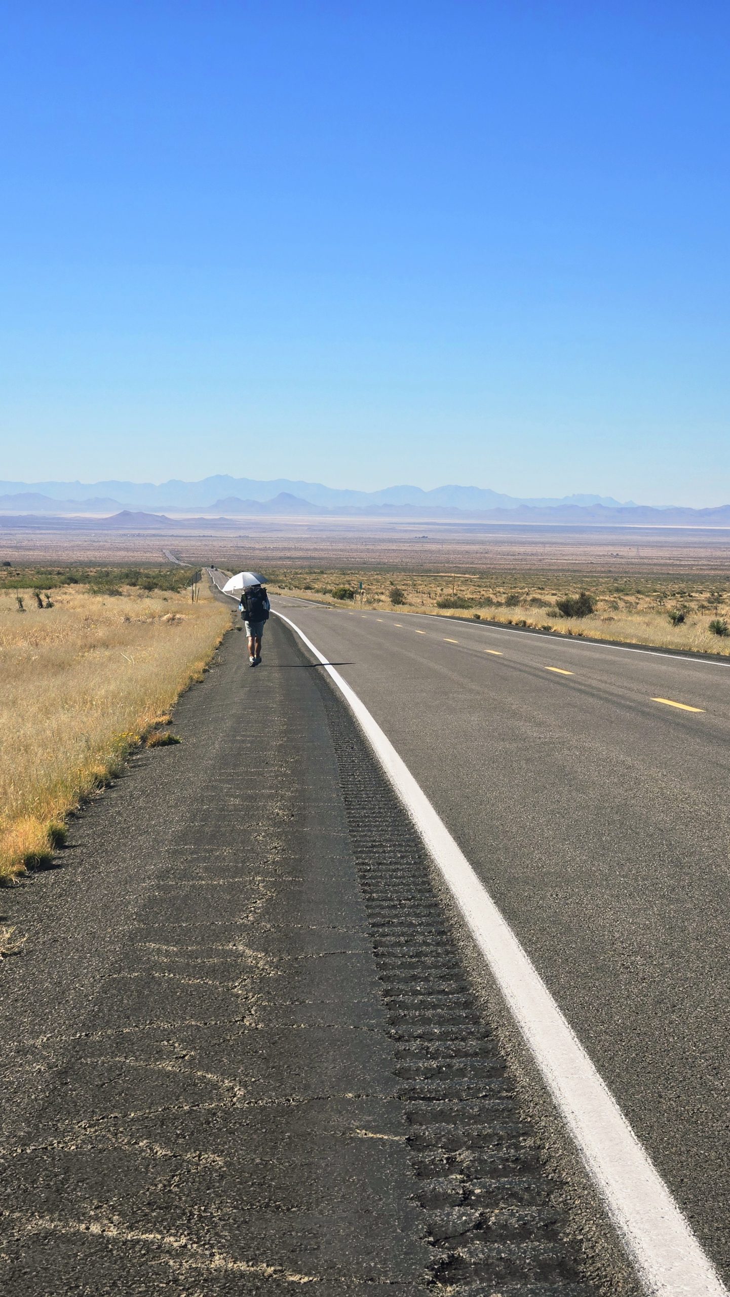
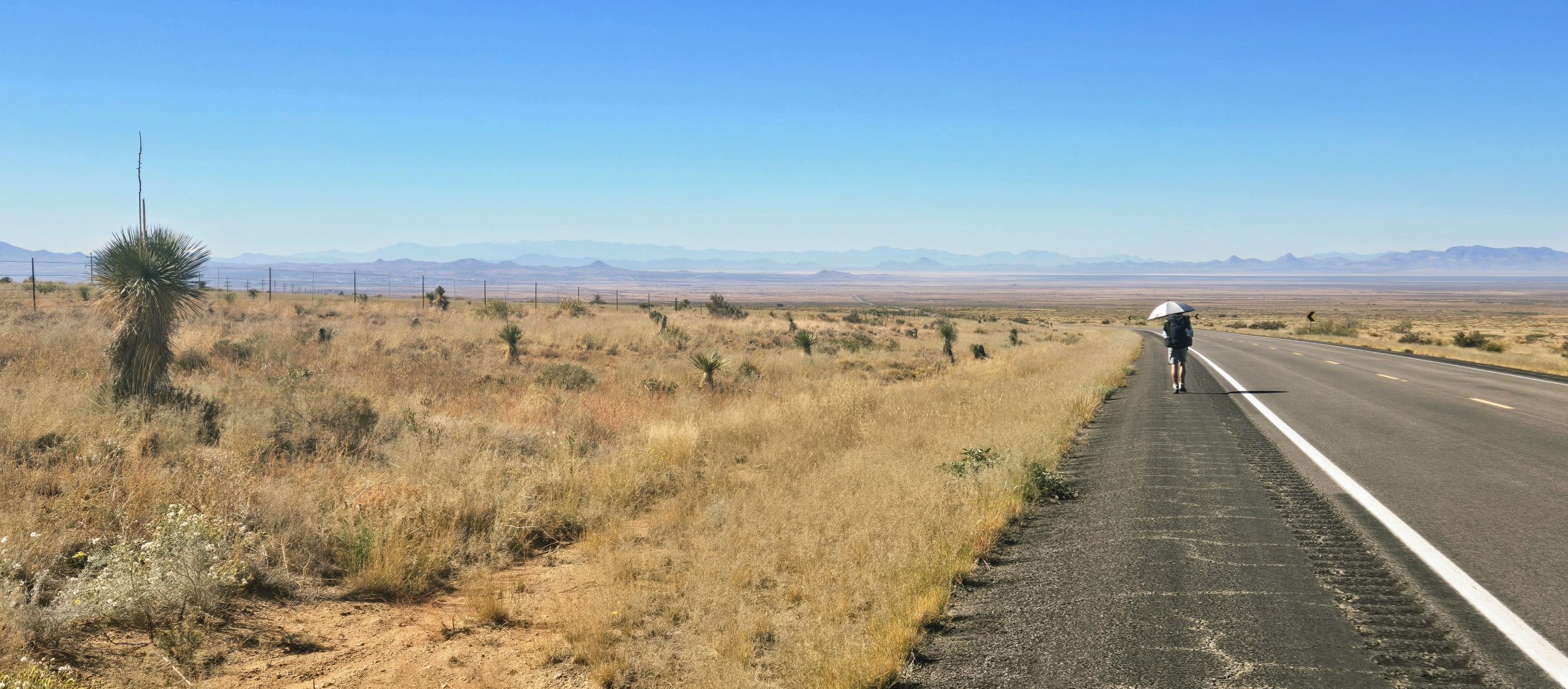
Yuccas vs. Joshua trees, what’s the difference?
As it turns out, I wasn’t entirely wrong, since Joshua trees are a type of yucca. However, as I learned from Google, Joshua trees are not native to southern New Mexico. Their range is limited to the Mojave desert, which is located in California, Arizona, Nevada, and Utah. Many people mistake a species known as the Soaptree yucca for Joshua trees, so I’m willing to bet those are what I was seeing here.
The key differences between the two are in their leaf, branch, and trunk characteristics. Yuccas have longer, wider, more pliable leaves that blow in the breeze, while Joshuas have shorter, narrower, more rigid ones. While yuccas branch once or twice, Joshuas exhibit extensive branching. The trunks of yuccas are short and squat more like a shrub, and in contrast, Joshuas have a much taller tree-like trunk. Neither of these species are, in fact, a tree, since they don’t grow in rings. They are actually a type of succulent more categorically similar to orchids or grasses. I never would have guessed this, but they are a member of the asparagus family.
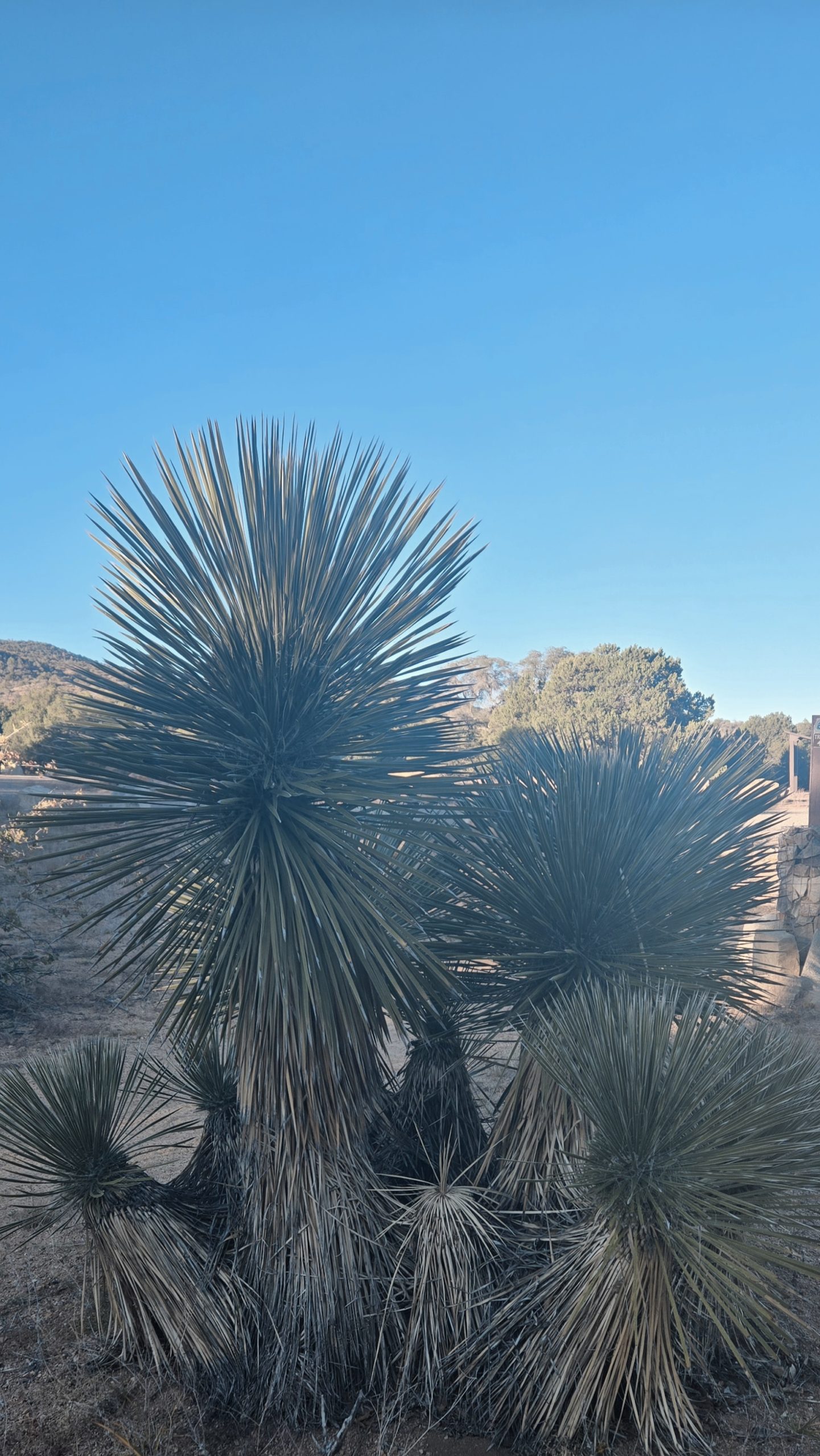
Yucca
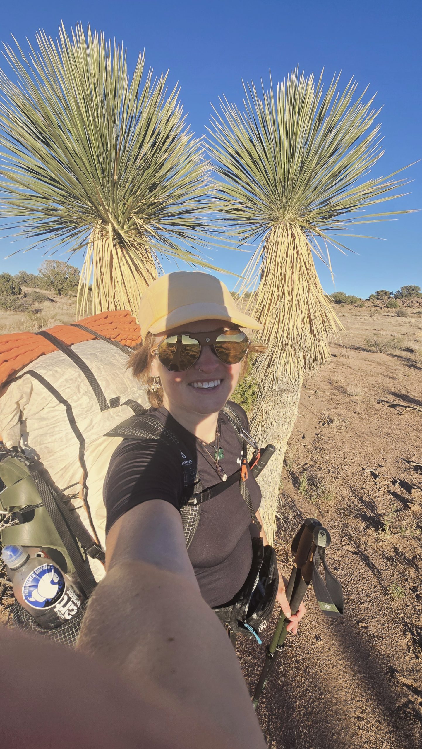
More yucca. I think my hair was starting to assimilate to the surroundings.
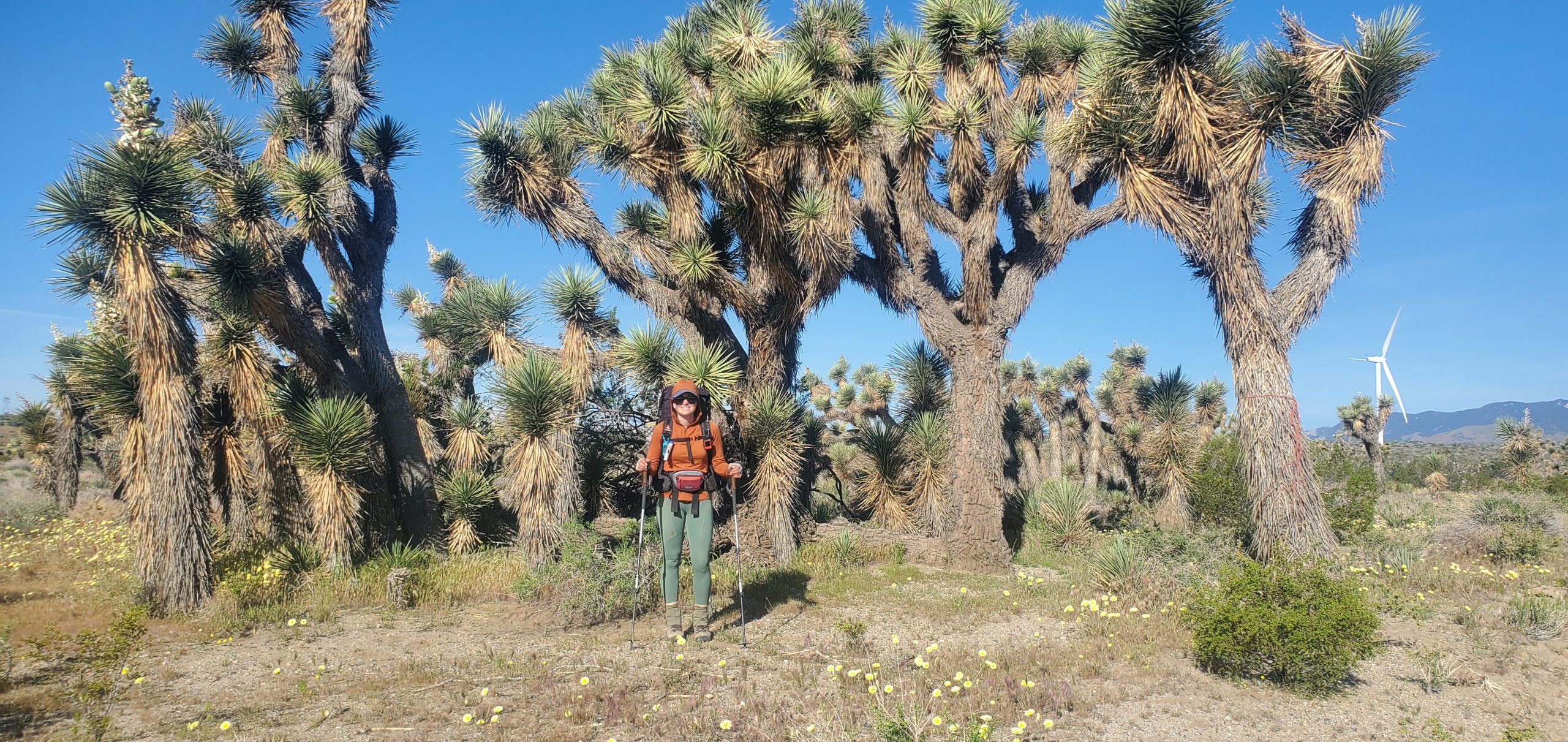
For comparison, these are Joshua trees. Taken on my PCT thru in 2023.
Trail magic reality show
One thing that helped pass the time on this road walk was video chatting with my sister and brother-in-law. The Show was walking about an eighth of a mile ahead of me at the time. We each answered the group WhatsApp call separately and the four of us got to chat and catch up for a while. I told them about how a guy had stopped and given us water on the highway the previous day. Not long after telling that story, while I was on the call, Merlin drove up in his van. (He’d actually already done southern NM the prior year, and was at that point helping support Witch Doctor, Chow Town, and whoever else.) He asked if I needed anything. I thanked him but said I was all set and he drove off.
Not 15 minutes later, still on the call, another driver slowed to a crawl next to me. He stuck his arm out the open window, handed me an ice cold bottle of water, and congratulated me on my imminent CDT finish. I thanked him, and watched him do the same for The Show up ahead in the distance. “He gave me a Coke!” he told all of us on the video chat. I was a tad jealous but knew I probably needed to hydrate more than I needed a sugar rush out in the beating sun. Sometimes in the desert plain old water is the best trail magic! It was humorous to have just mentioned people giving us trail magic along the road and then have that immediately followed up with two example offerings.
Lordsburg: The Last Town
By the time we got to Lordsburg, our last town stop of the trail, we were exhausted and our feet were cooked from 25 miles on pavement. That might have been our longest single day of paved road walking? I definitely got another big blister from that one. Since we were planning on taking another zero (because why not at this point?) we could deal with our last resupply the next day. We did, however, still need to stop by the post office if we didn’t want to walk all the way back to that side of town again.
A little naughty
There, we sent home anything we wouldn’t need for our final stretch of trail, including our rain gear. It felt a little naughty to send that home as a New Englander who’s used to carrying it at all times, just in case. But after checking the next week’s forecast, we knew the chances of rain down here were slim to none. Besides, worst case scenario, we still had our umbrellas.
Some folks, like Joy, even sent their tents home in this area. Now that’s a bold move I don’t think I’d ever personally be brave enough to do. But I also don’t cowboy camp. Additionally we mailed home anything we couldn’t carry onto a plane, since we wouldn’t be checking bags on our return flight. I don’t remember having much in this category. It was primarily our Swiss Army pocket knife I was concerned with because we’ve had one of those confiscated by TSA in the past.
Ramona’s on repeat
The one open sit-down restaurant in town was called Ramona’s. We must have gone there at least four times in the 43 or so hours we were in Lordsburg. It wasn’t a Mexican restaurant, but one of those restaurants that serves Mexican food. So essentially an American diner with a sub-menu of Mexican dishes. My previous tummy issues seemingly resolved, I threw out the self-imposed “no more Mexican” rule and had both enchiladas and breakfast fajitas there. Not back to back, though. I’m not that risk tolerant as far as my gringa intestines are concerned. There was also an all-you-can-eat salad bar that I took advantage of in my four-months-veggie-starved state.
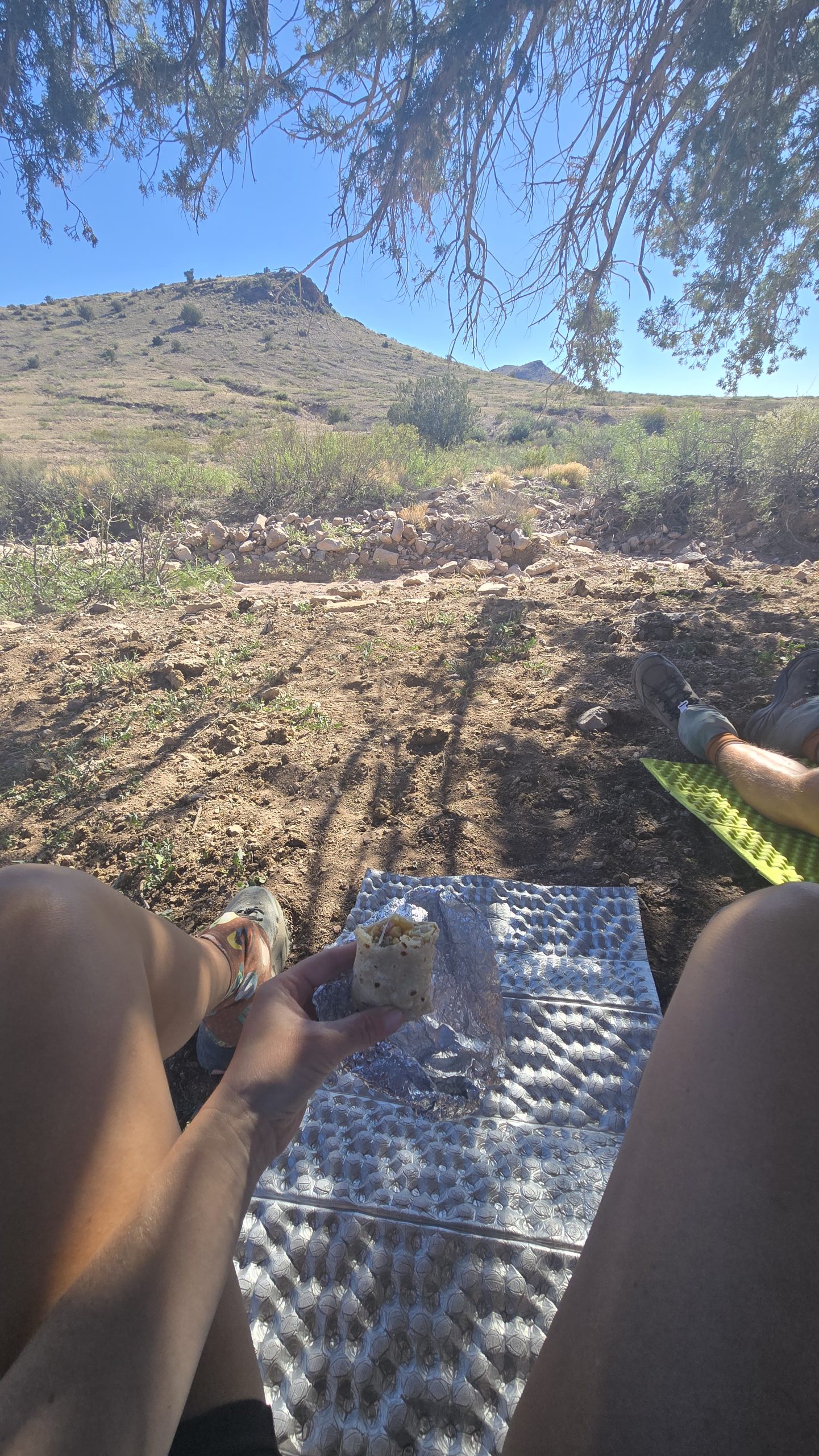
Hiding under a tree from the sun eating a packed out leftover breakfast fajita from Ramona’s. The homemade tortillas were so good!
Ramona’s menu also had horchata on it. This non-alcoholic Spanish/Latin American specialty beverage is made with rice, cinnamon, and evaporated and condensed milks. It’s served over ice and tastes like a cold glass of sweet, cinnamon-y milk. I’d heard of it before, but this was my first time trying it. It was good, and reminded me of those “Cinnamon Toast Crunch shots” (Fireball Whisky + RumChata) I used to make in my partying days, minus the ethanol burn and proceeding poor choices.
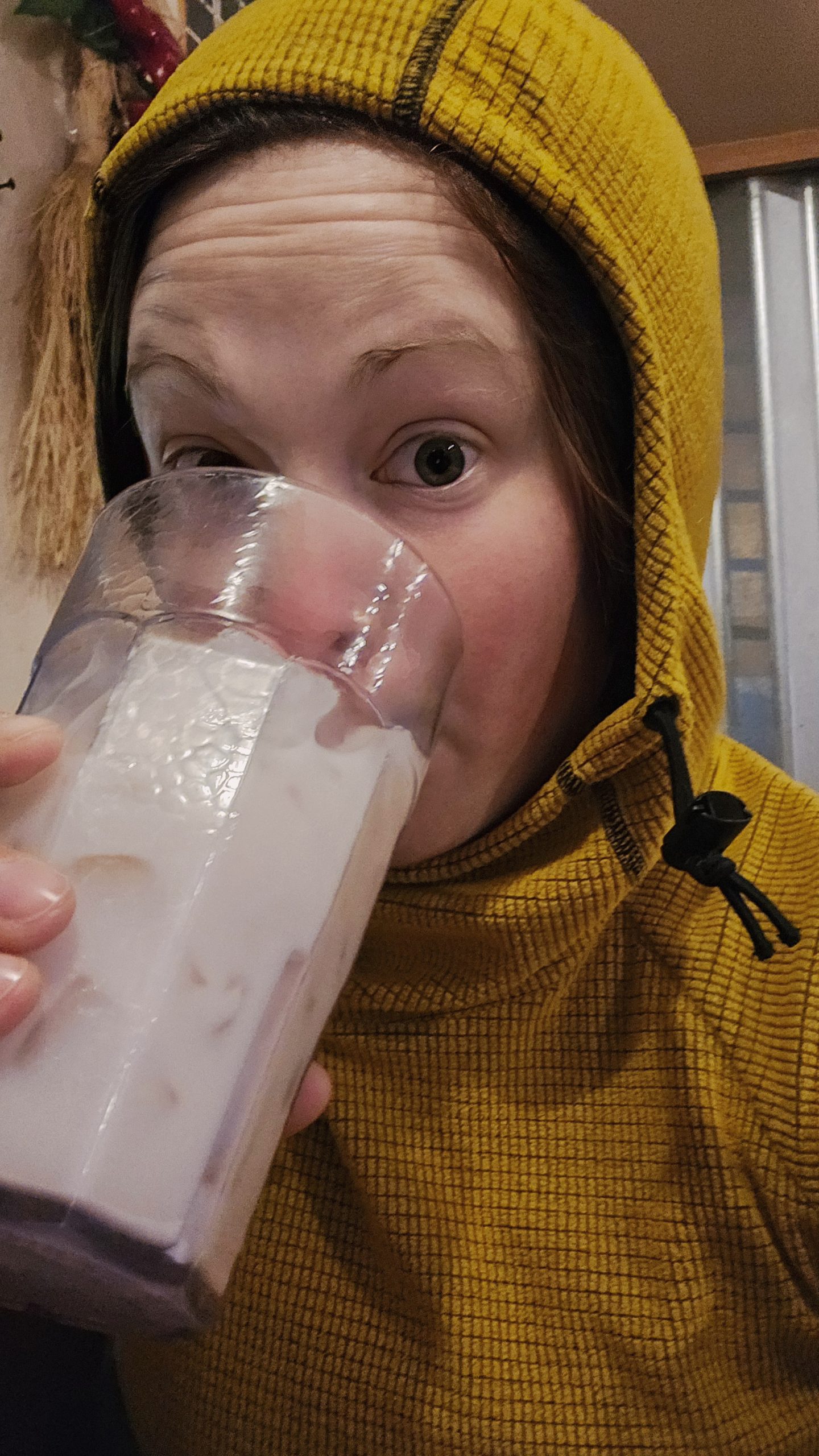
“In {November} drinking horchata I’d look psychotic in a balaclava”
Goldfish Queen
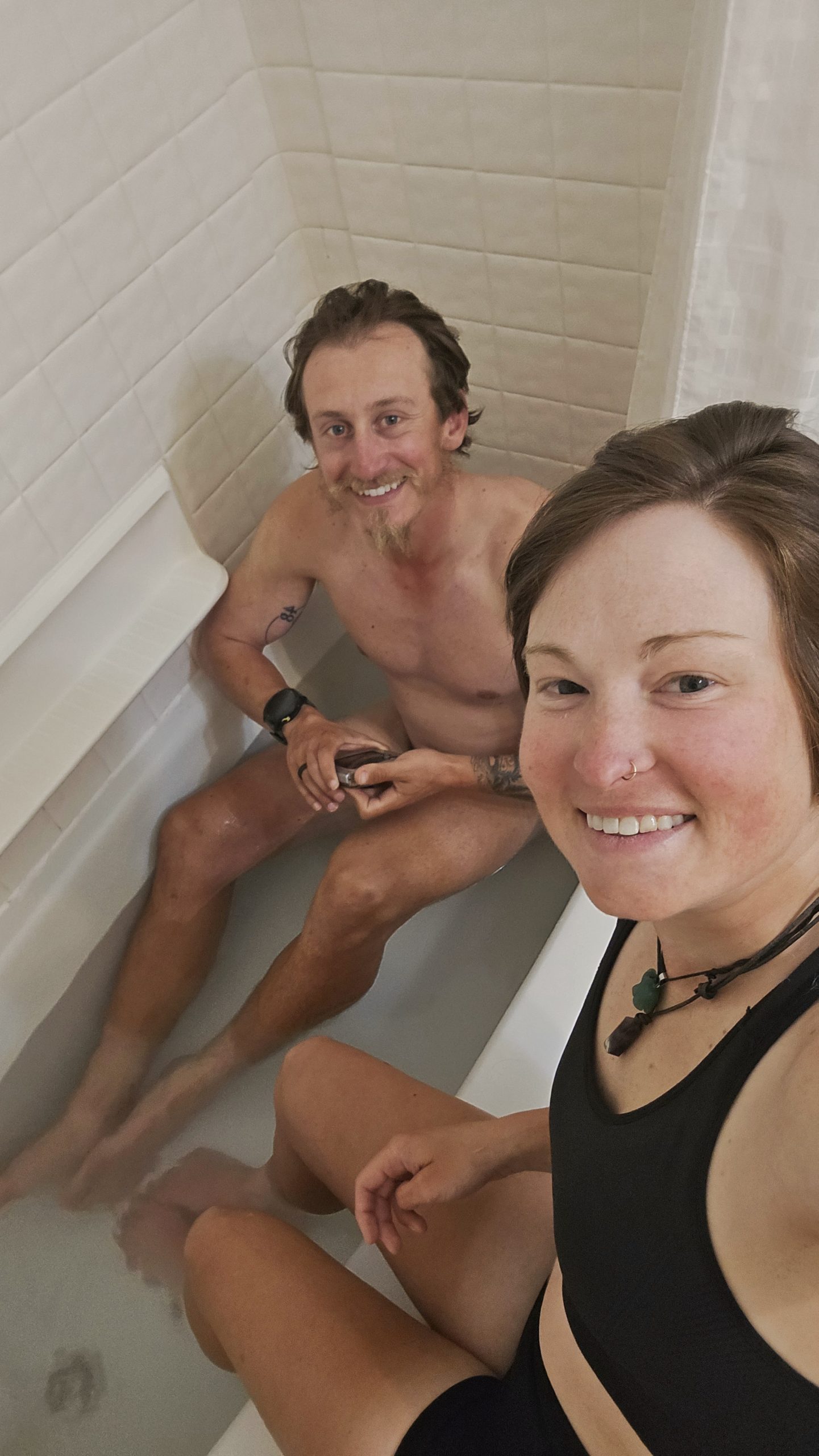
In Lordsburg we stayed at the Motel 6, which was quite clean as far as Motel 6’s go. It can be a toss up on what you’re getting yourself into with chain budget lodging like that. On our zero we bought some Epsom salt at the Family Dollar while resupplying. The Show and I did, for me, a foot soak, and for him, an entire leg soak, in our room’s tub.
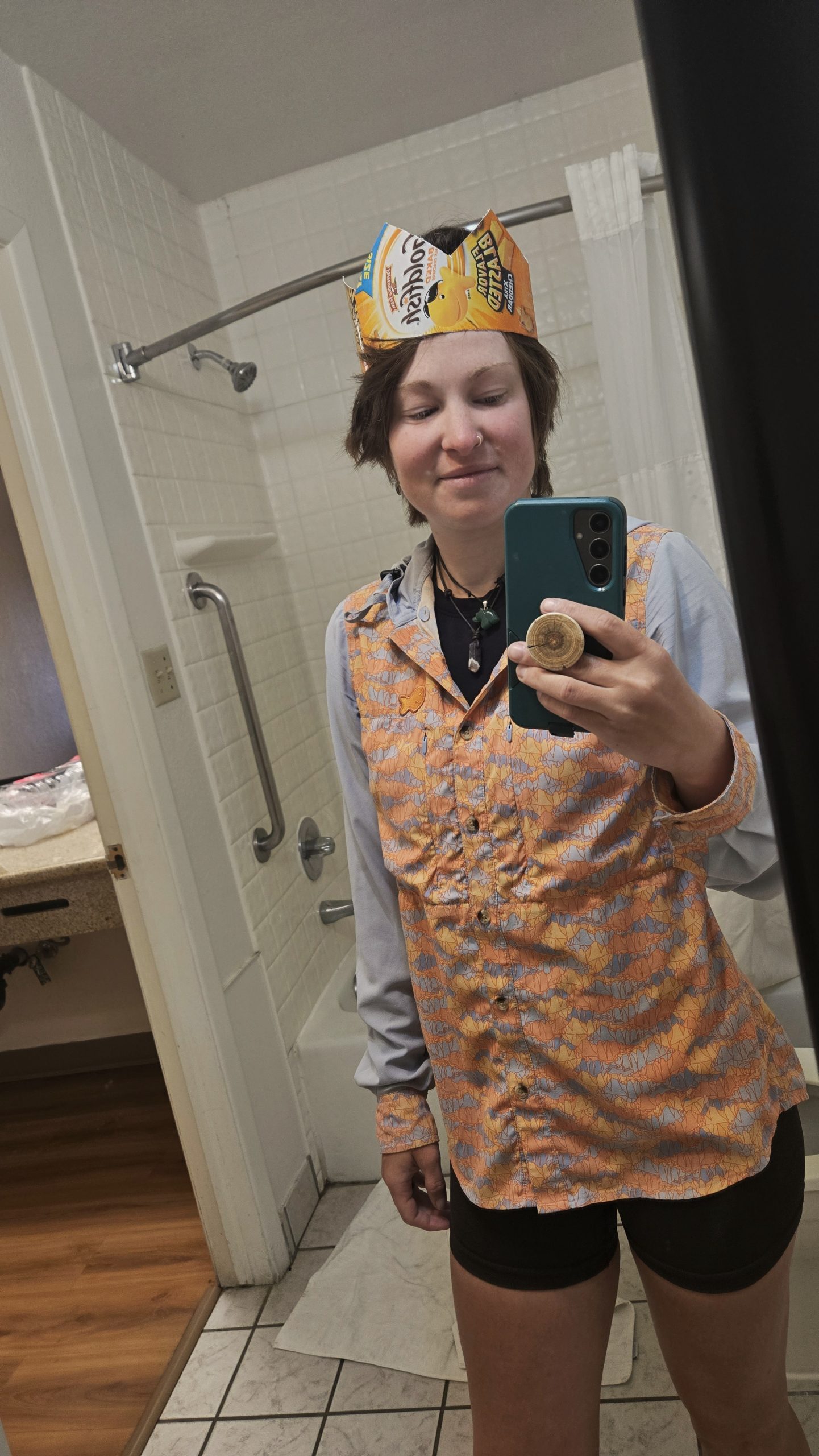
Also at the Family Dollar, I picked up one of those milk carton style cardboard boxes of Goldfish crackers. I packed the fish out for my last resupply and used the box to craft a crown to wear at the terminus. It’s customary for thru-hikers finishing their Triple Crown to wear a Burger King crown in their final terminus photo. A lot of the time they’ll put AT, PCT, and CDT logo stickers on said BK crown. I wanted to do something a little more personalized to my trail name so I made my own. I originally wanted to incorporate a Welch’s Fruit Snacks box into the design too, but they didn’t have them at the dollar store.
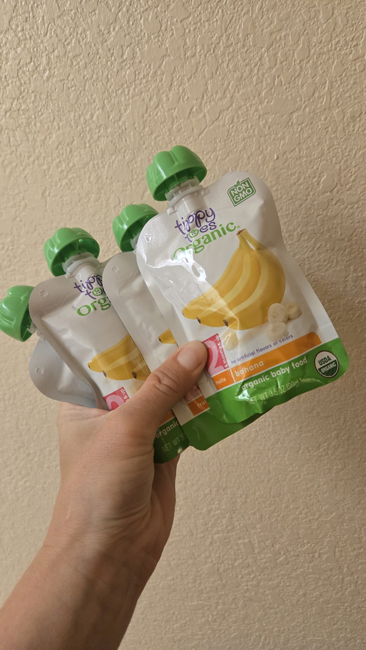
Last baby food resupply.
Unofficial Triple Crowner
I align with a more purist definition of a “completed” thru-hike: hiking ALL the miles of a trail. Personally, I don’t yet consider my CDT hike nor my Triple Crown officially complete since I still have The Winds to go back for. However, maybe contradictorily, I still wanted to wear a crown at the end of this trail. According to looser standards, I am already a Triple Crowner. I wanted to celebrate the completion of three seasons worth of hiking thru on each of these three trails. The end of an era. The last time I’ll thru-hike them for the first time. It may be “unofficial” in my mind, but still an accomplishment worth crowning myself for.
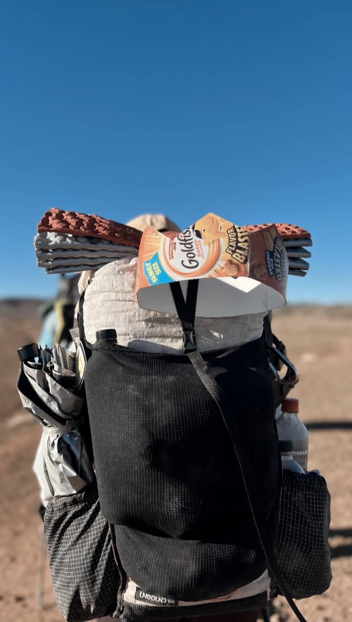
I had to strap the crown to the outside of my pack so it wouldn’t get crushed. Photo courtesy of Full Circle.
Fizz or Frizz??
While in Lordsburg I saw a message pop up from someone named Frizz in the Treebeard group chat on Instagram. She was inquiring whether anyone wanted to get in on their ride back from the terminus with Tim on the 9th. That was the day we were scheduled to go with him, but Tim had already informed us that we’d be carpooling with someone named “Fizz plus one.” I’d never met a Fizz or a Frizz on trail so I wasn’t sure who Tim had booked us with. I responded in the chat telling her that, and I didn’t know how many more he could take that day if he was already taking us and Fizz-party-of-two. We all became humorously confused.
Chew Toy chimed in that there was, in fact, a Fizz on trail as well. But he was all the way back in Pie Town near her, so there was no possible way he’d be finishing in a few days. We LOL’d and concluded Tim must have meant to say Frizz. I remember also thinking it was interesting that Frizz and whoever her hiking partner was were finishing on the same day as us but we had never once met them. We hadn’t even heard of them until then. It’s funny how it works out sometimes that you can hike around people on these trails the whole time and not run into them at all.
Spikey Pokey Things
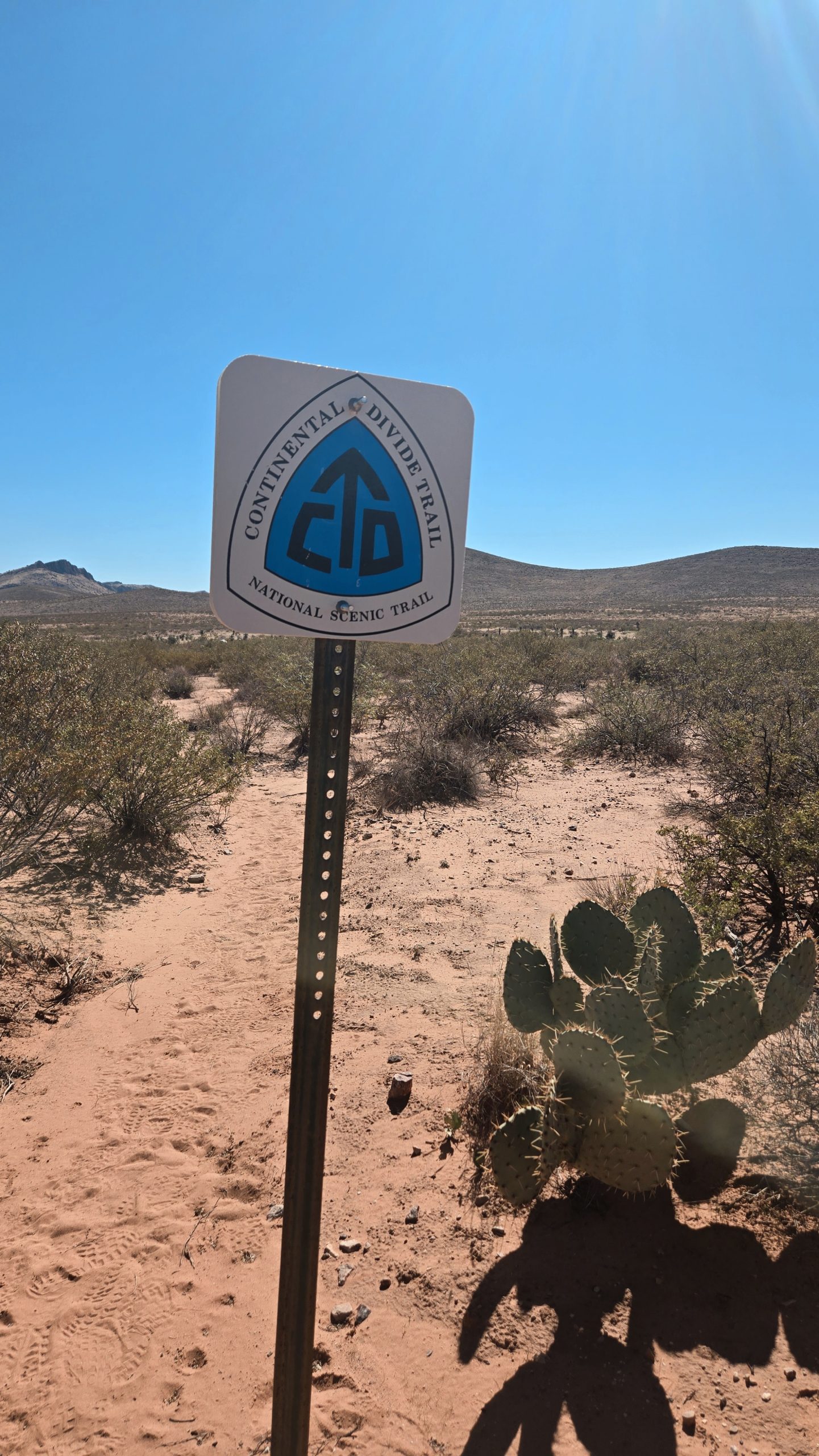
Back out on trail for our last leg, we were on the red line for the rest of the way. The trail traversed flat, wide open desertland covered with cresote bushes. These are an evergreen, drought-tolerant shrub. Often they were a bit overgrown and concealed the already not-well-trodden trail. Walking through them they swiped across our bare legs leaving their signature in scratches. Marked by white and blue CDT logo decals mounted on metal posts that stood taller than the brush, we got used to navigating by walking post to post.
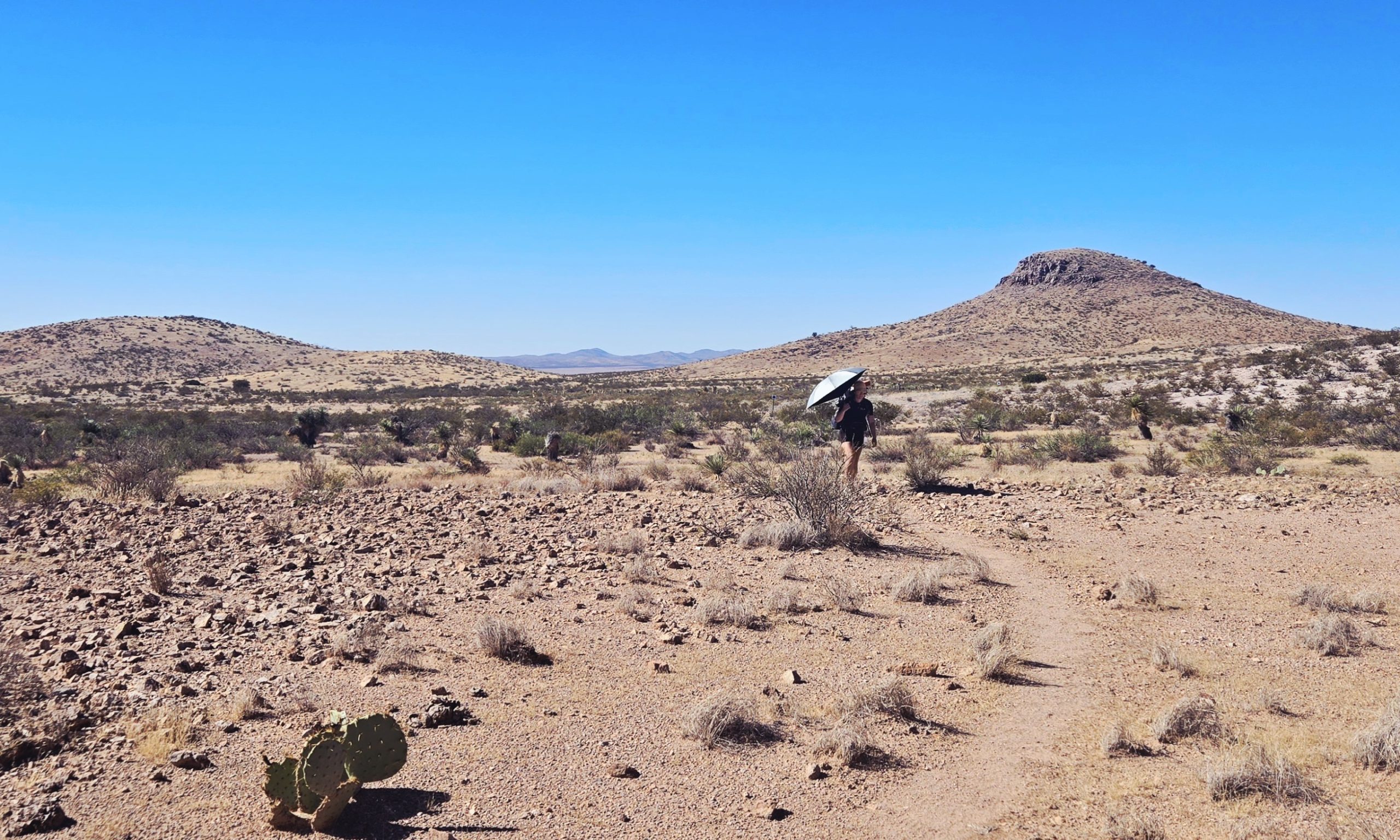
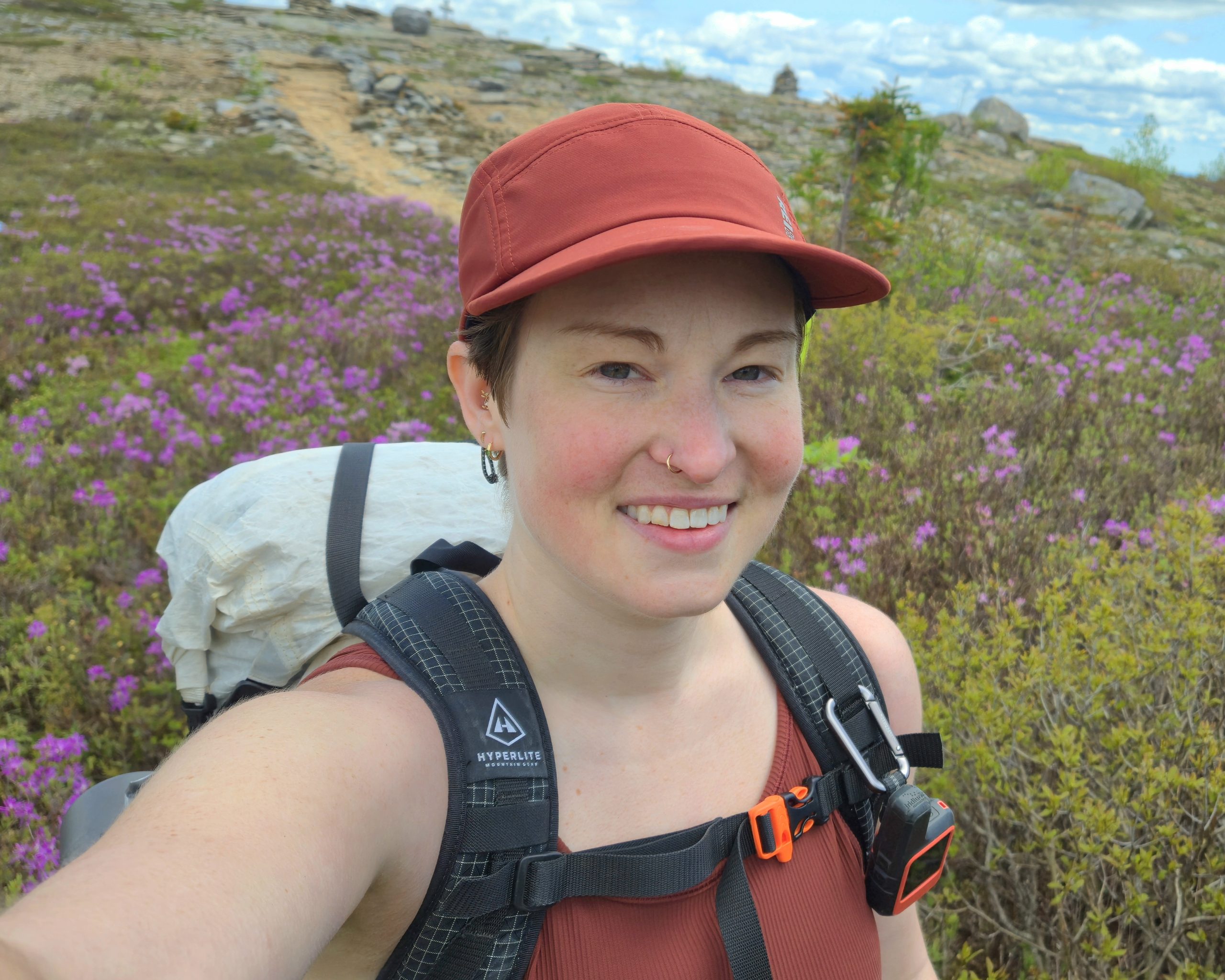
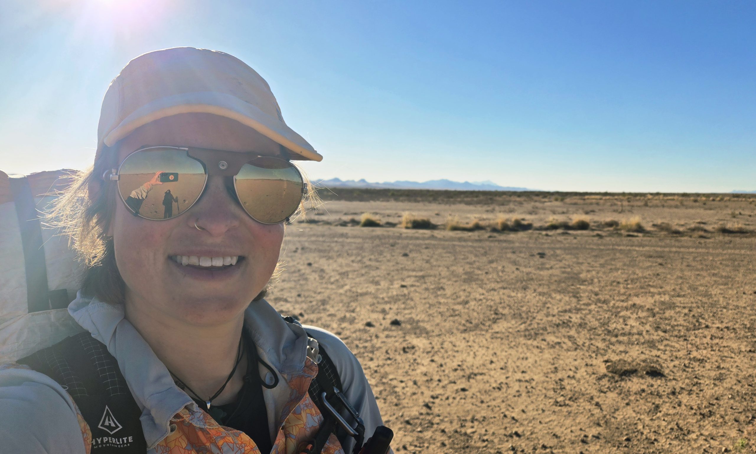
Photo evidence of me on the trail instead of the road!
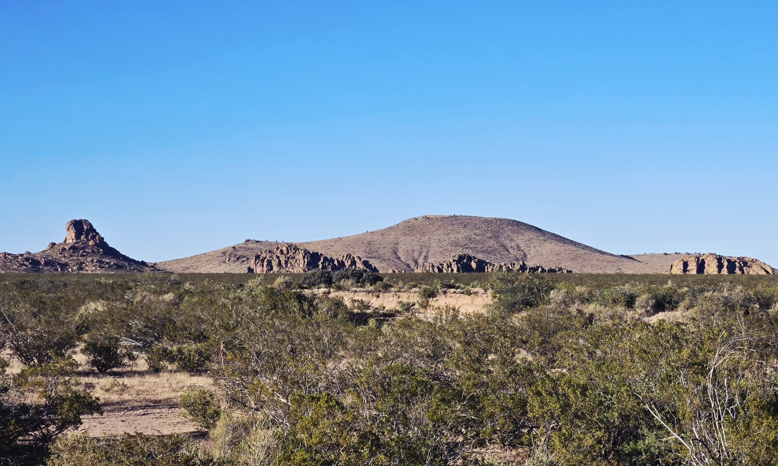
Cresote bushes
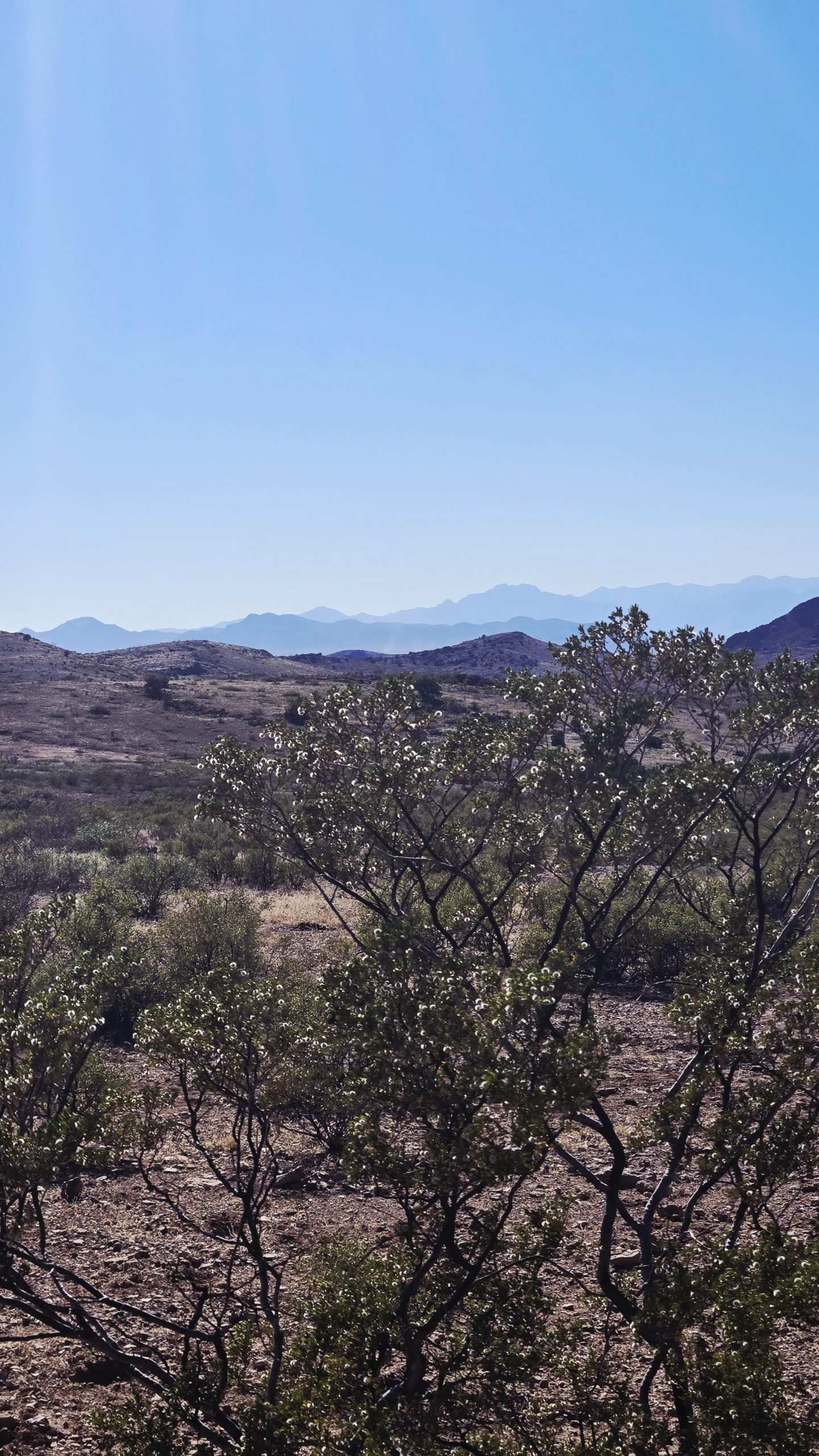
More Cresote. The little white fuzzy balls are their fruits, each capsule containing one seed.
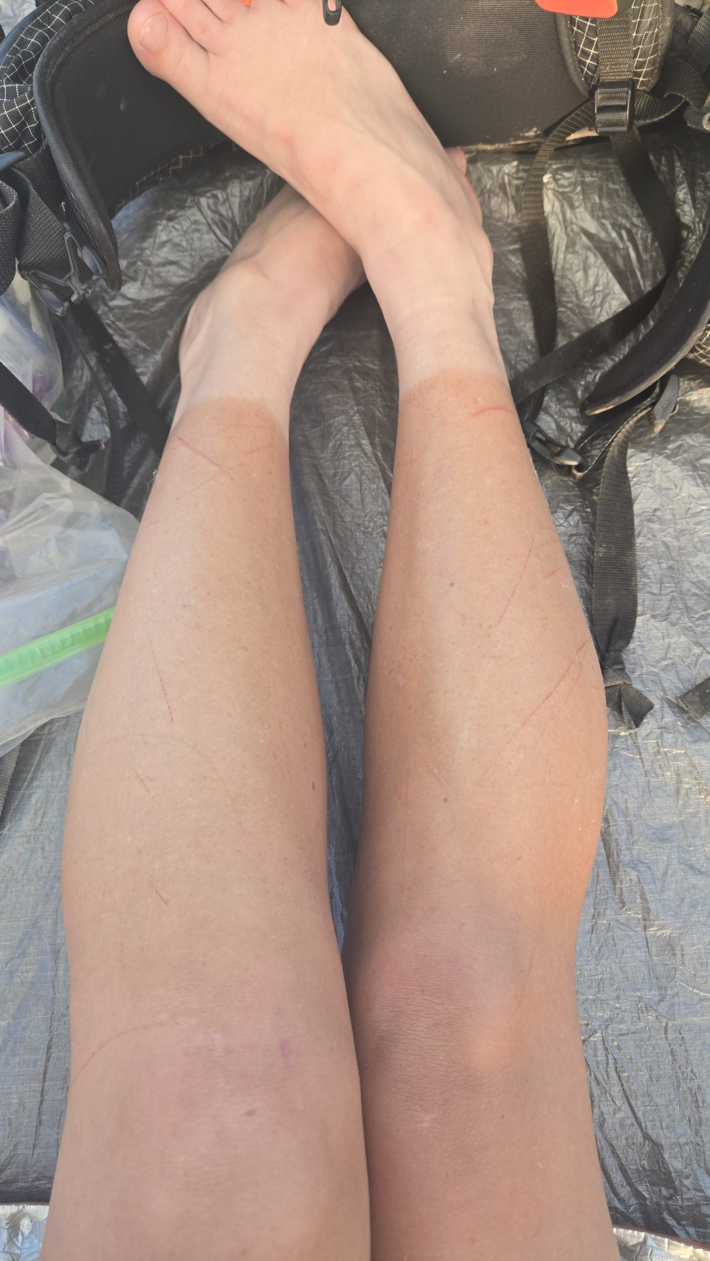
Cresote scratches.
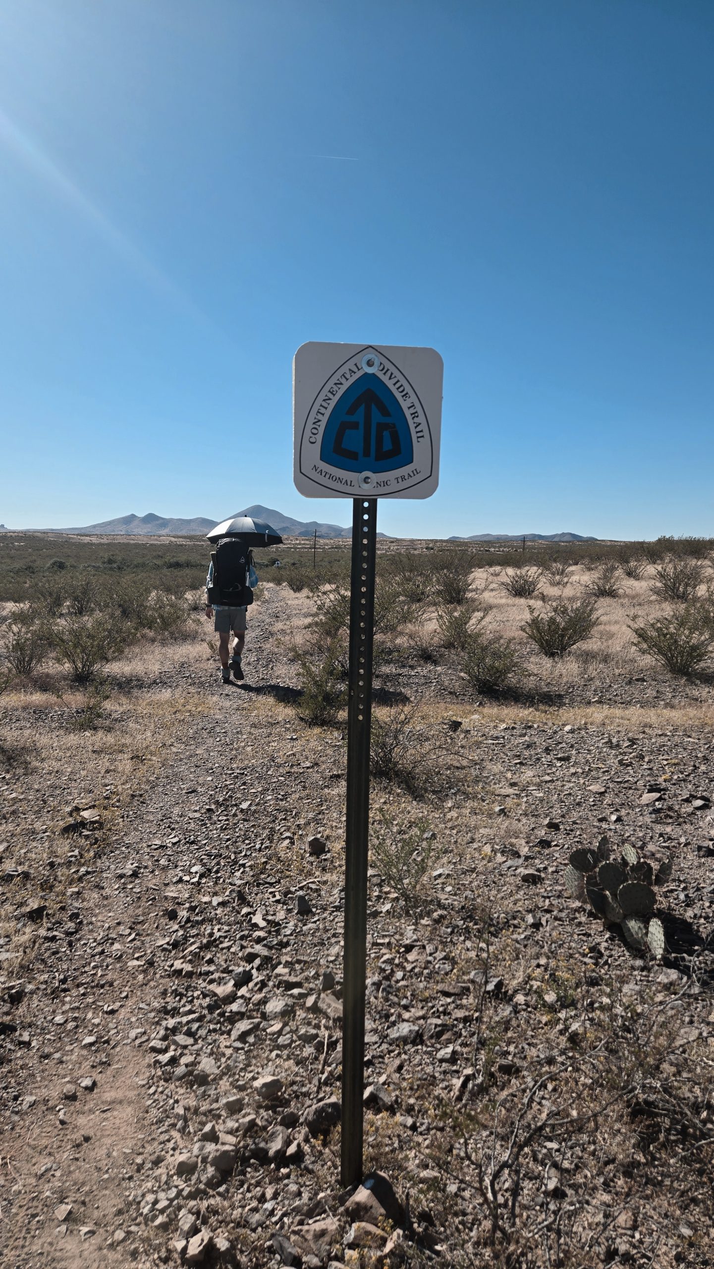
A typical CDT logo trail marker. If you look closely you can see another in the distance.
We passed all the deserty spikey pokey things, including yucca, cane cholla, and golden-spined prickly pear. There were a few species we began to see more frequently than we had before. Those included the short, rounded barrel cactus with its yellow fruits, as well as ocotillo, a southwestern shrub with gangly, thorny branches.
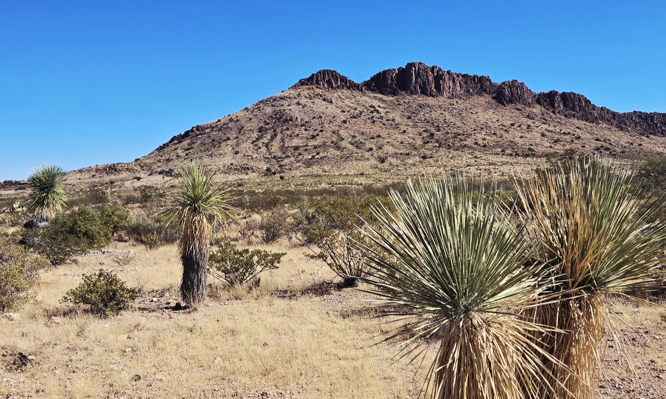
Yucca
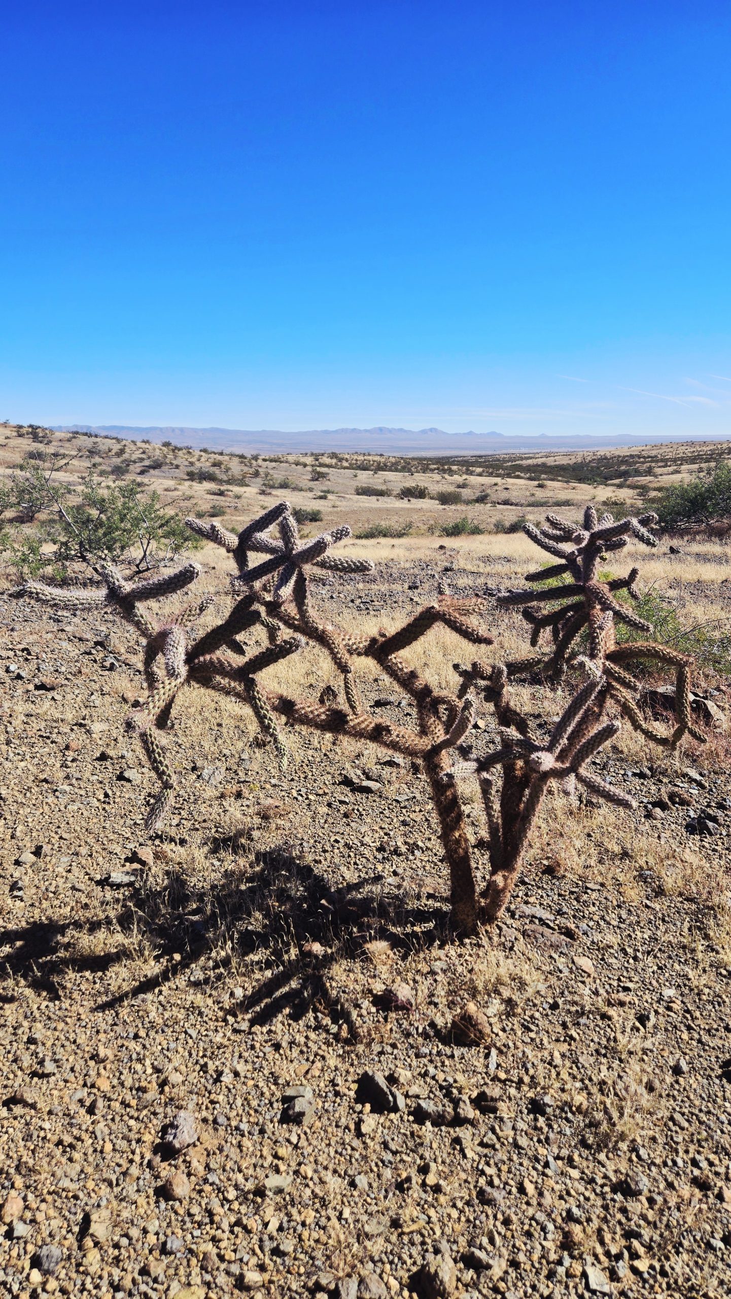
Cane cholla
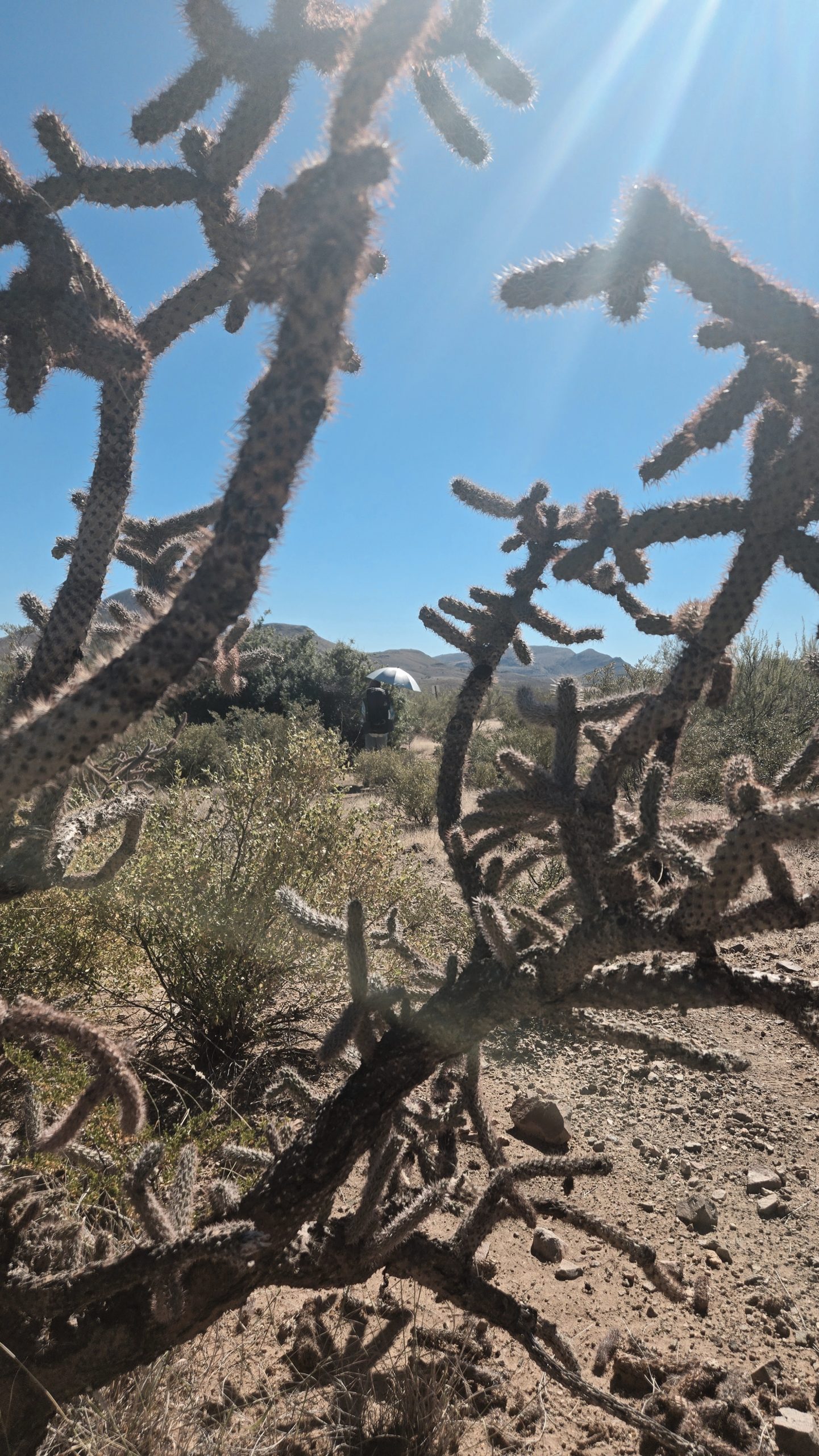
Also cane cholla
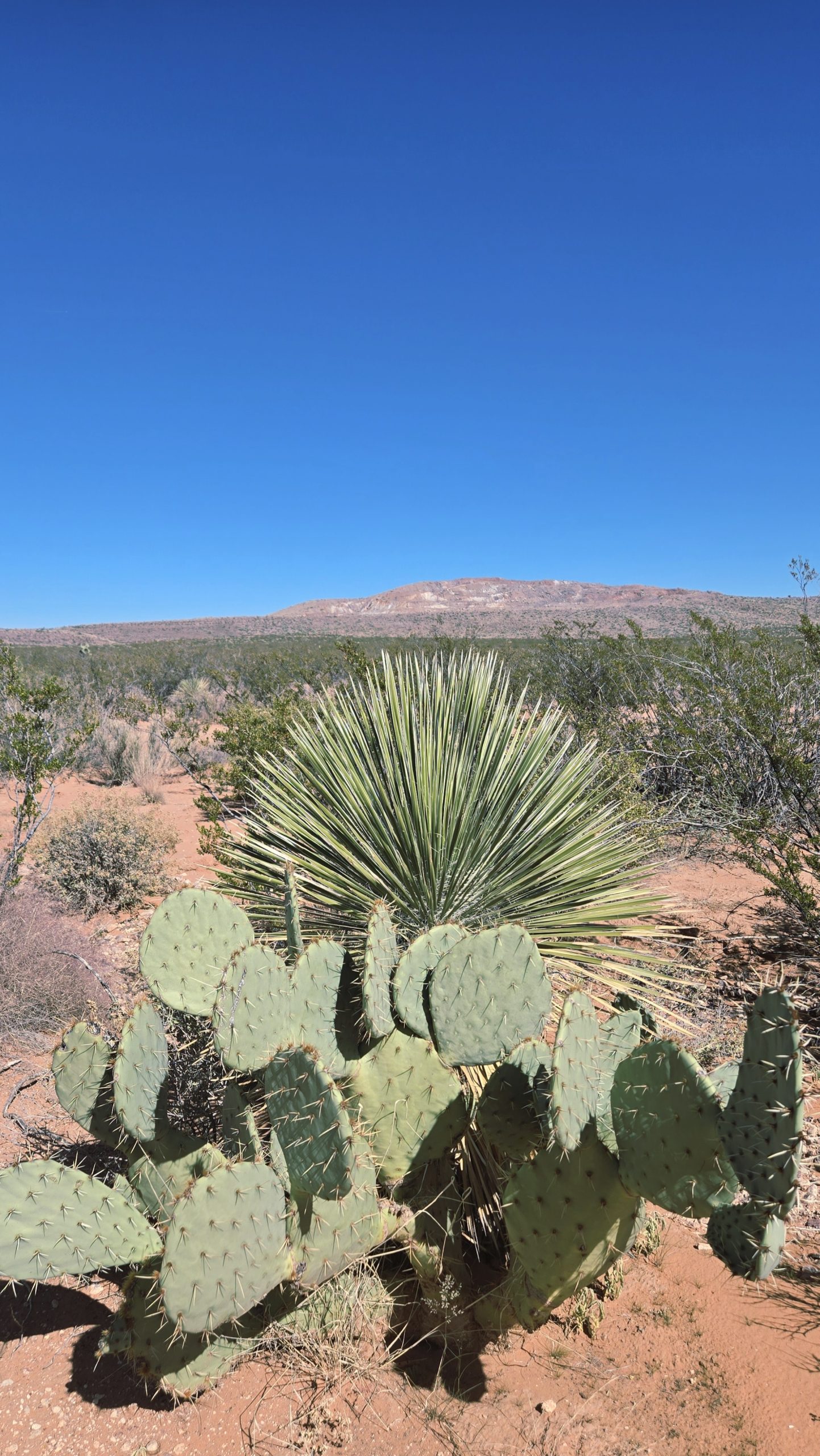
Golden-spined prickly pear with a yucca behind it.
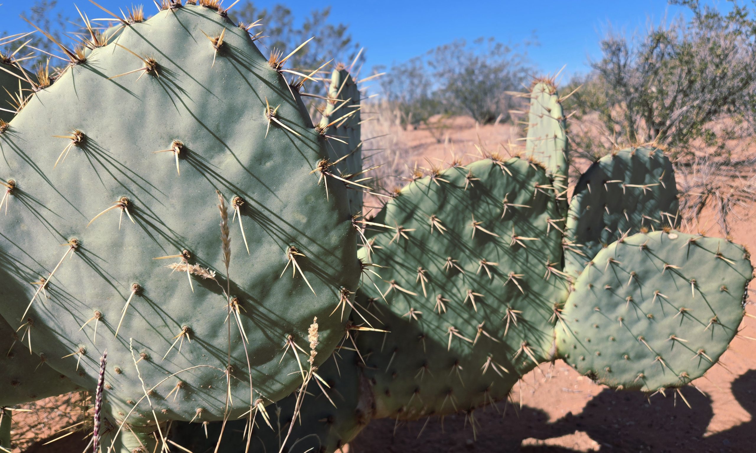
Golden-spined prickly pear close-up.
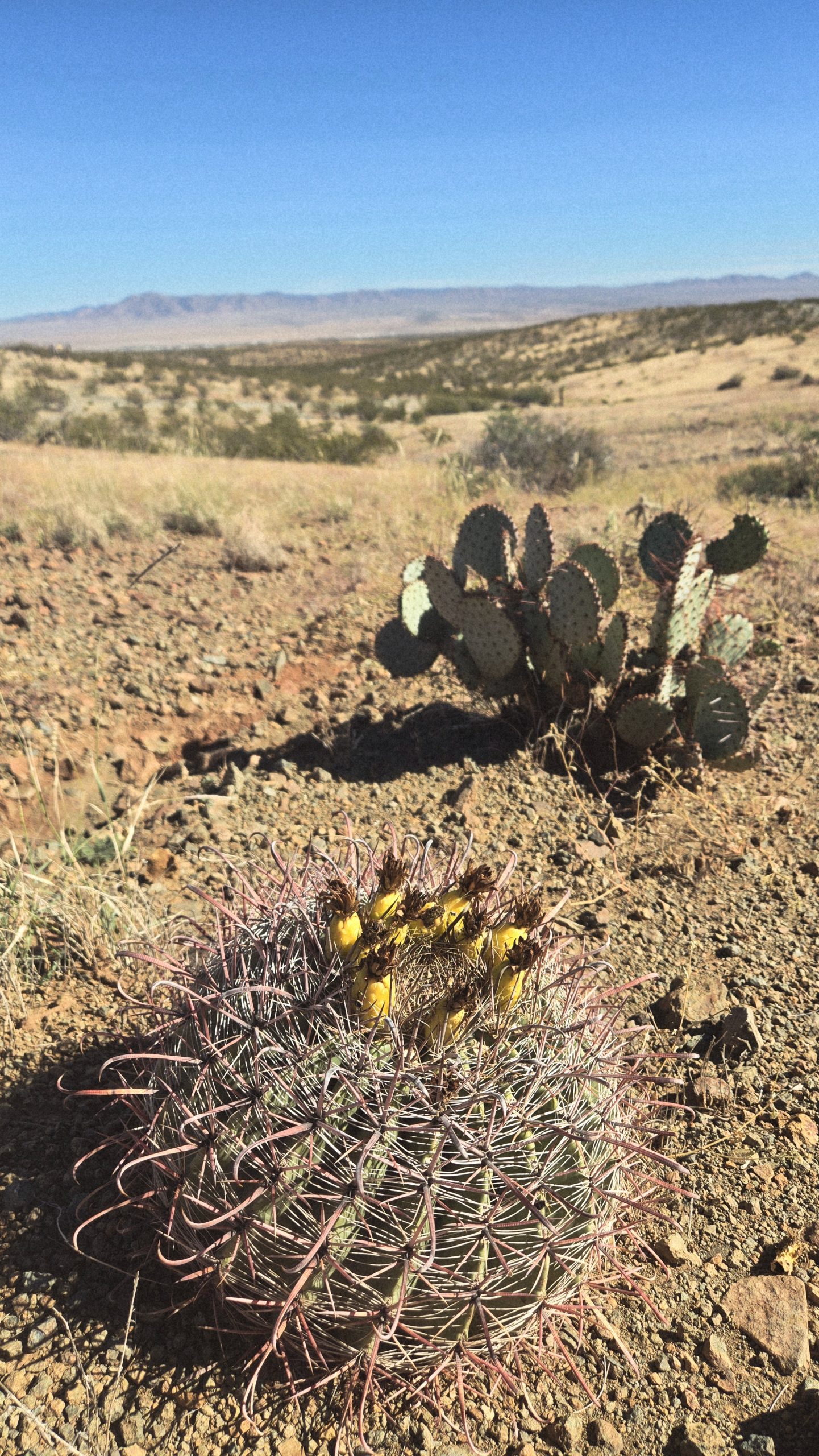
Prickly pear and barrel cactus
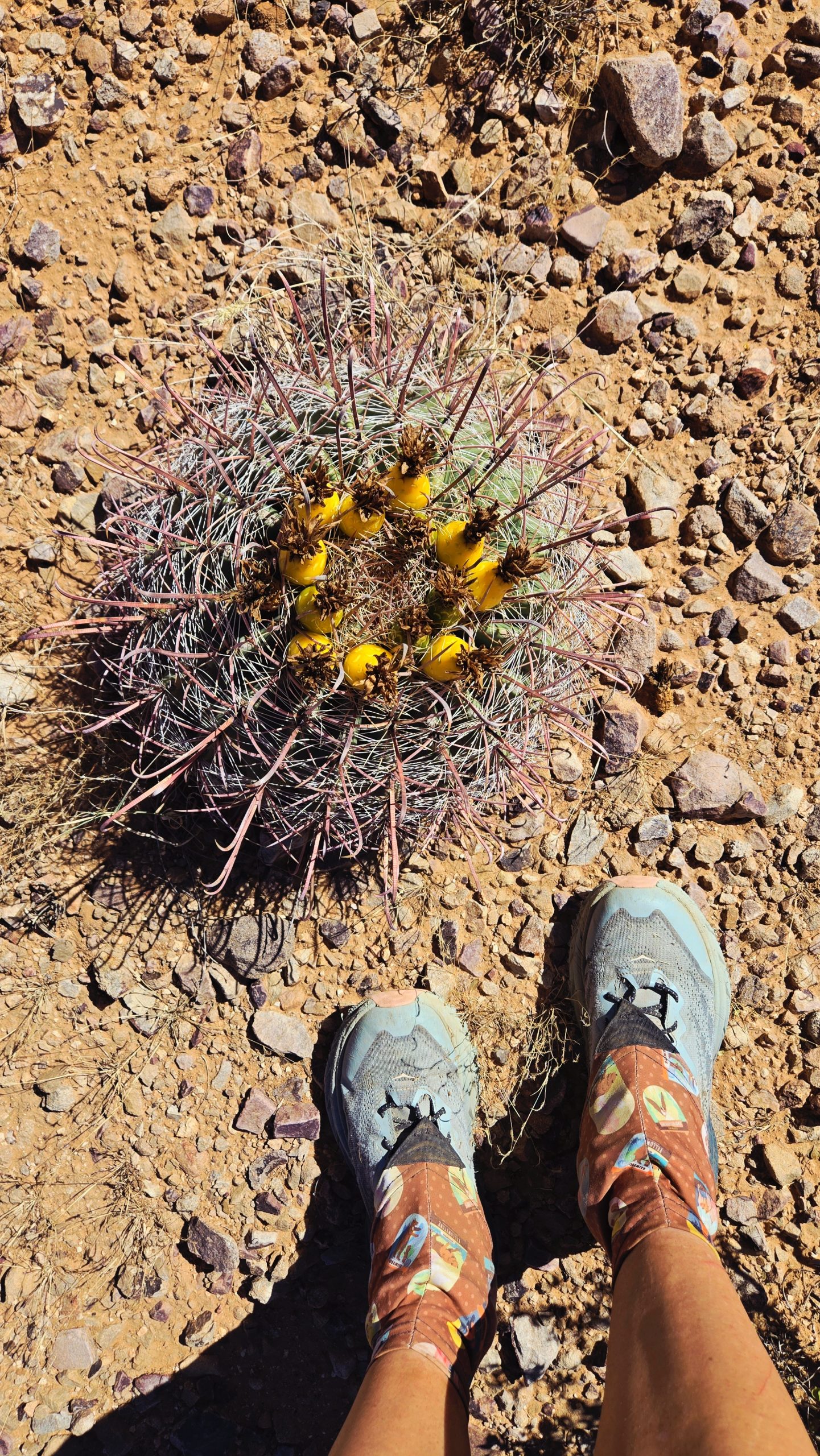
Another barrel cactus. These yellow fruits are edible and have a tart, lemony flavor. The seeds, when roasted, have a flavor similar to coffee.
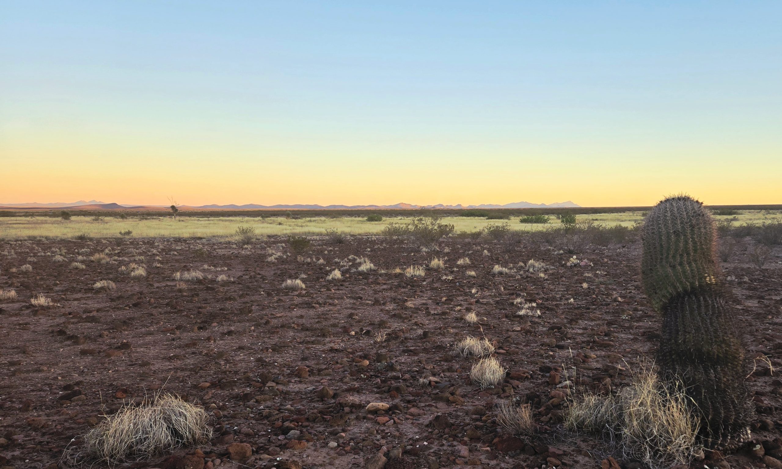
Also a type of barrel cactus, just a taller one. Must have been around 3 feet tall.
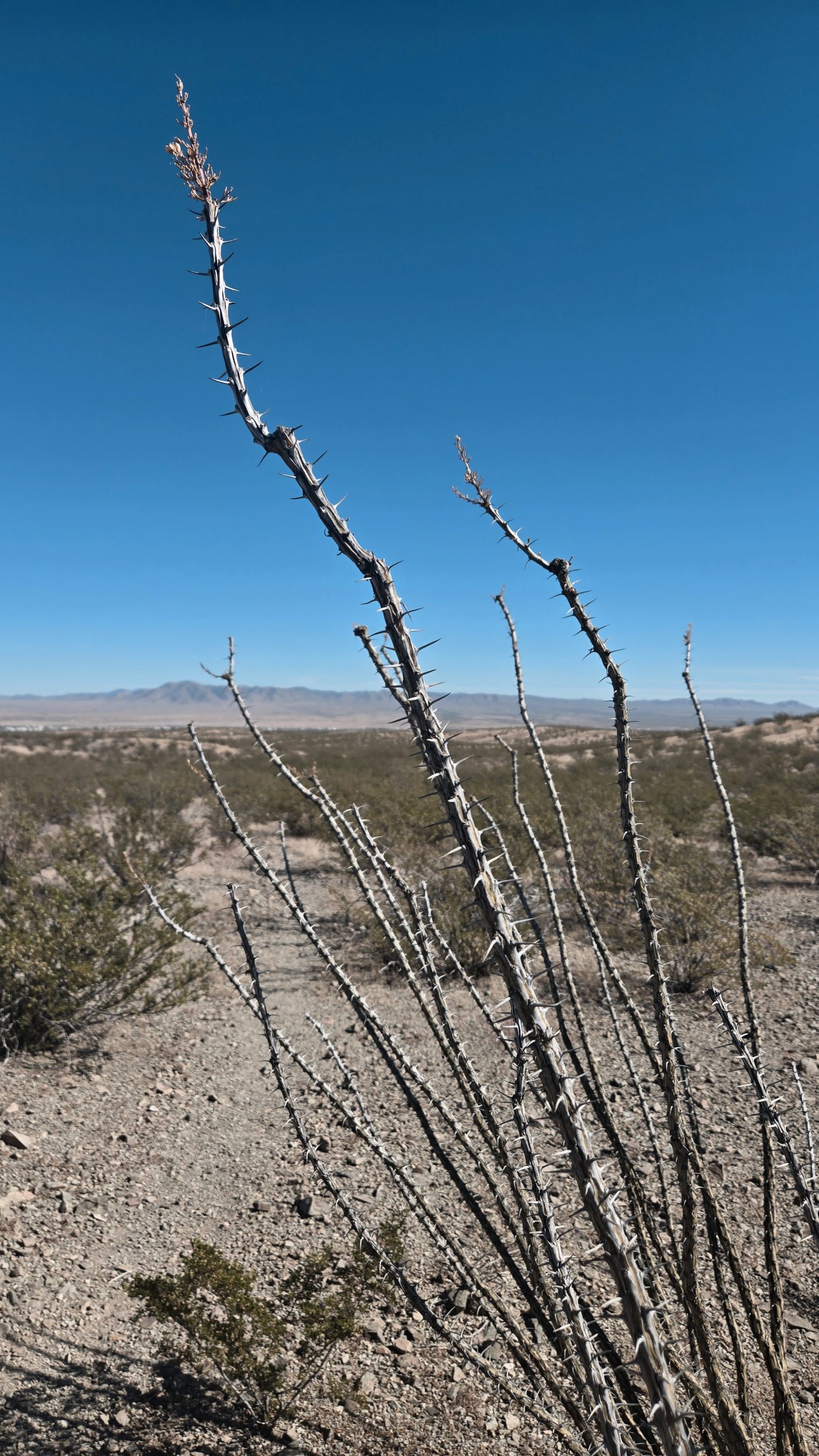
Ocotillo. Most of the time they look dead even though they’re alive. Proceeding occasional rainfall, they sprout little green leaves along their branches. During dry spells their leaves fall off and they remain bare.
Super Moon
Is that…THE MOON?
One evening as the sun was beginning to set, we arrived at our water source for the day: an old tractor tire filled with water that had Oscar the Grouch’s pelt floating on top of it. In the process of collecting and filtering water, I happened to look across the expansive desert to the horizon. A half circle of golden-orange glow was peeking up from behind a distant mountainous ridgeline. My mind went blank for a second. What…IS that?? Wait, that’s the moon! But it’s SO HUGE!?
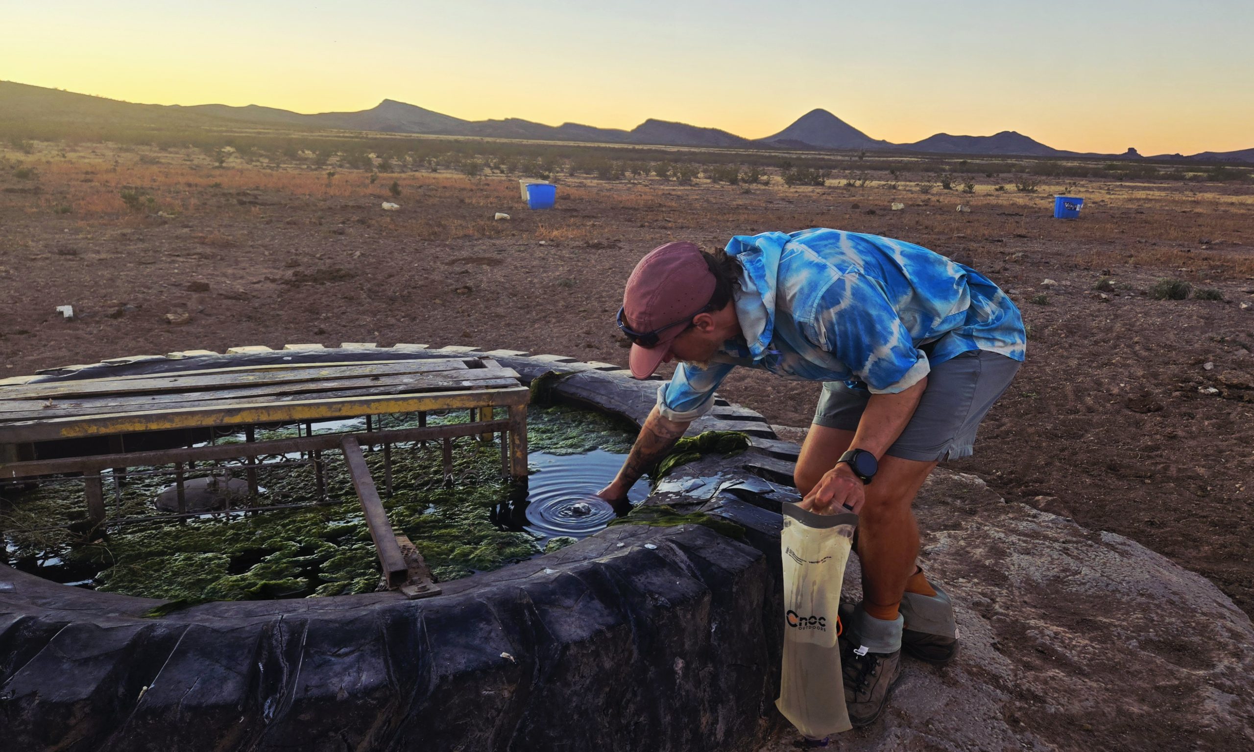
Oscar the Grouch spring.
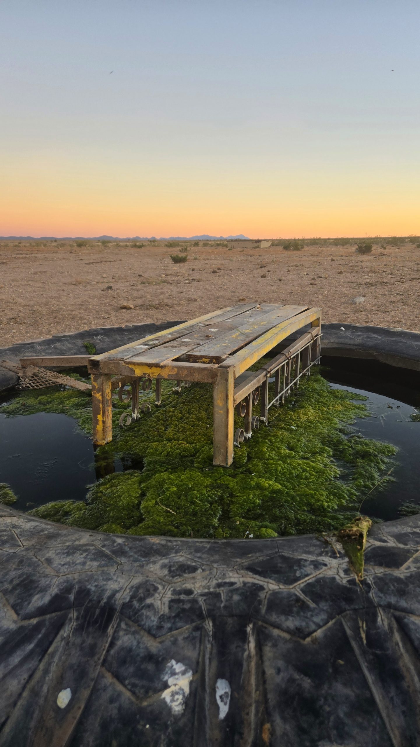
A better look at the pelt.
It looked absolutely massive, dominating this muted scene of gentle gray mountains and a ceaseless sky whose pastel colors blended seamlessly from baby blue to blush pink to peachy orange to pale yellow. Before our eyes we watched the illuminated golden ball rise. The upwards movement was actually perceptible in real time with the horizon line as a seemingly stationary point of reference. It was so full and large that you could even see the dark patches, or lunar maria, on its surface with the naked eye. I tried to think if I’d ever really witnessed a true moonrise before. Certainly never one this spectacular.
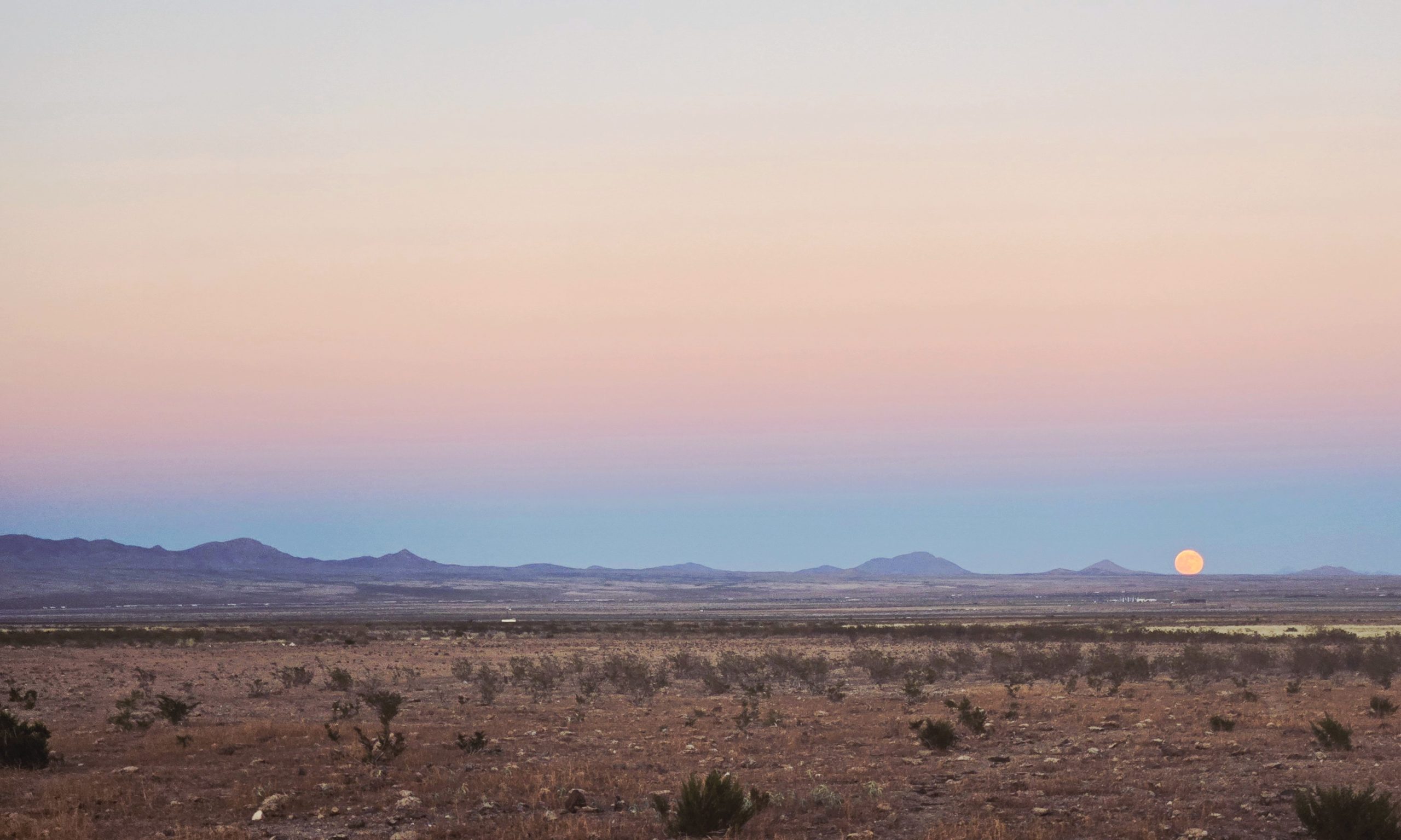
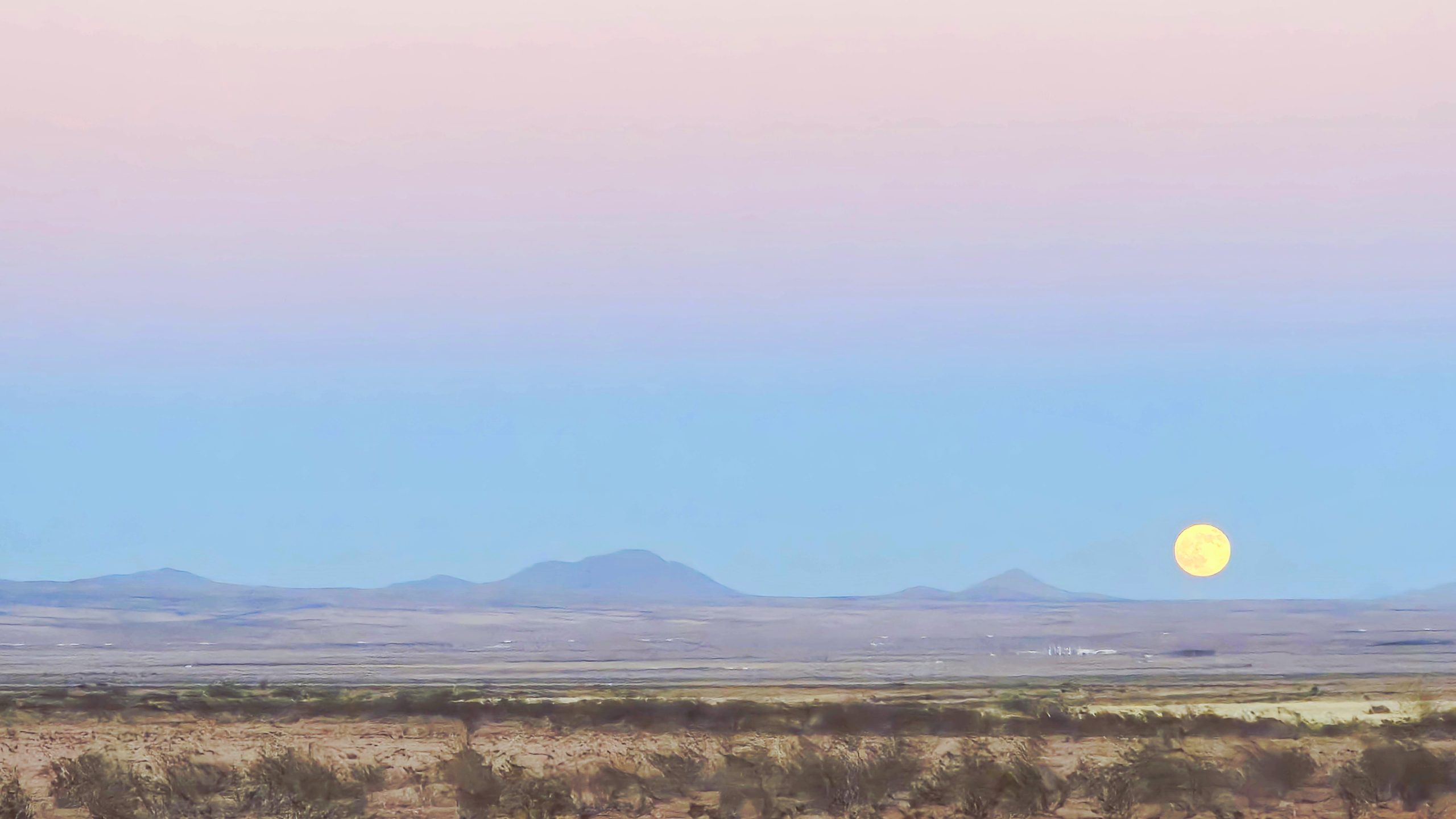
Beaver Supermoon
This specific moon that was visible on November 4th and 5th, 2025 (we saw it on the 5th) was called a “Beaver Supermoon.” In general a “beaver moon” is a full moon occurring in the month of November, when beavers are constructing their dams in preparation for winter. It’s also called that because this was the time of year when early settlers traditionally trapped beavers for their pelts. A “supermoon” is when a full moon occurs during its closest position to Earth within its orbit.
This particular Beaver Supermoon supposedly appeared 14% larger and 30% brighter than a typical full moon does. Seeing it in person I’d beg to differ. To me, it looked at least 50% larger and brighter than I’ve ever seen the moon. According to Google, it was 221,817 miles away from the Earth that night. For reference, the moon’s farthest possible apogee from Earth is 252,700 miles and its closest possible perigee from Earth is 221,429 miles. Wow, that’s only a 388 mile difference from the closest it could possibly ever be! No wonder it looked so huge.
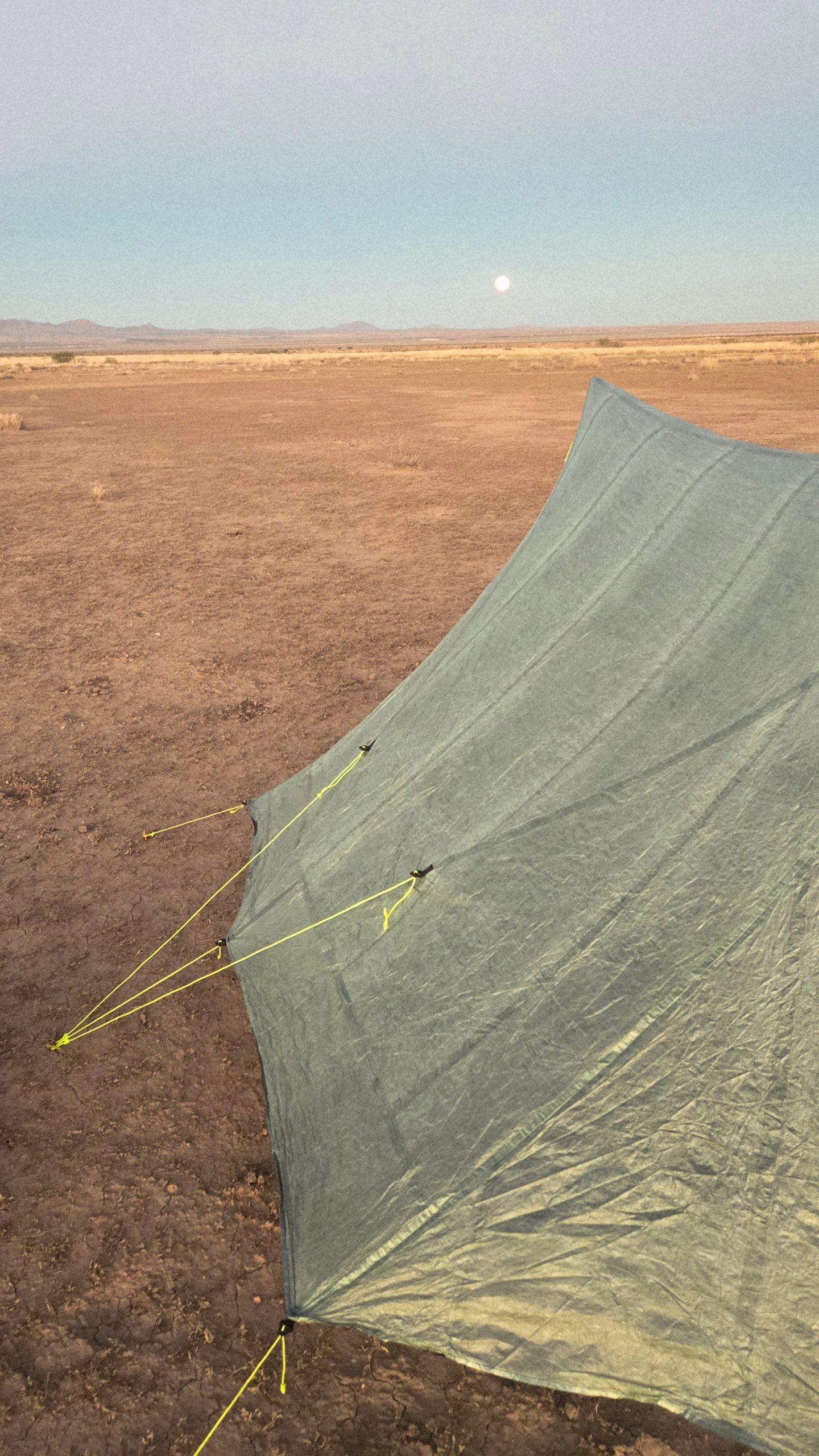
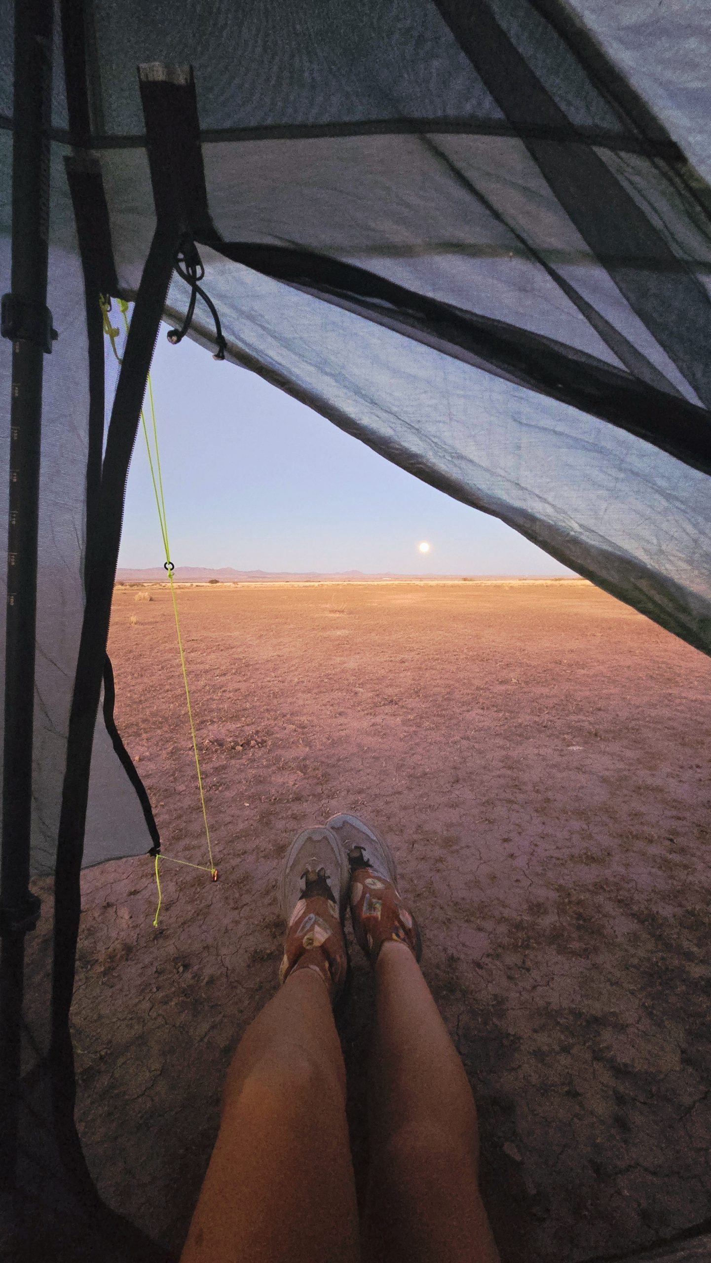

The moon still visible the next morning looking west.
Super Noodz
Not the only beaver, not the only moon
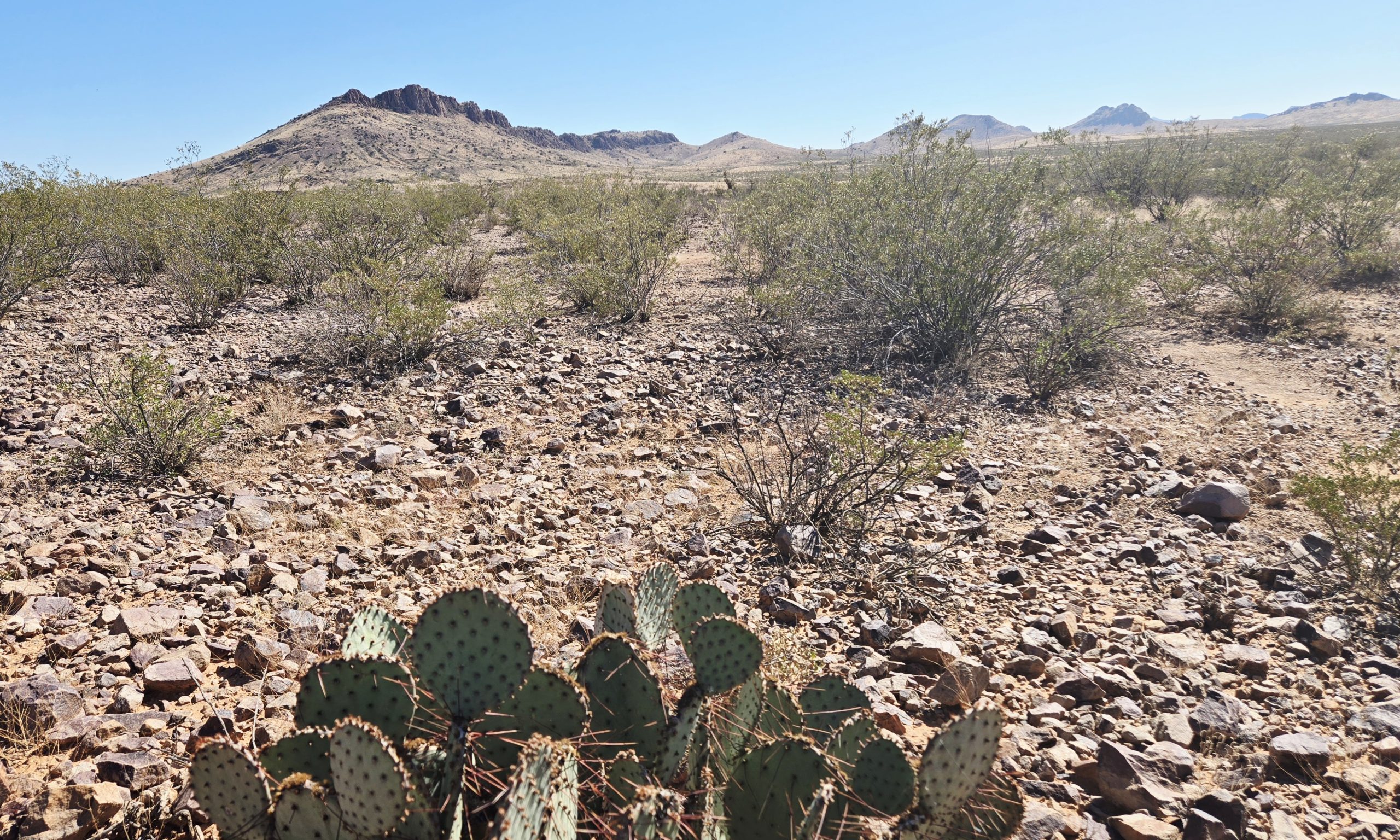
There was another beaver and two simultaneous full moons briefly visible from this section of the desert. They would probably classify as supermoons too, at least 14% fuller after 2,300+ miles of thru-hiking. Remember our agreement with Super Noodz to take our own ramen nood for his calendar? He’d left the photo creation relatively up to us, just suggesting we have some desert scenery in the background. One morning we reached an area with prickly pears in the foreground and prominent rolling hills in the background. This is the spot, I decided.
Not a soul was in sight. I set up The Show’s phone on my pack and switched the camera to self-timer. Moving it around to get the framing right, I made sure it had all the elements I wanted in the shot. Framing is my only legit skill as an amateur photographer. But I do believe it goes a long way in getting a decent shot. Otherwise I’ll admit I have zero idea what I’m actually doing.
Desert ramen boudoir
I explained my vision for our joint pose to The Show, which I’d been mulling over since the Halloween party. It had to both 1) make it clear we were a romantic couple, and 2) cover all the necessary parts with ramen. I’d even looked up some couples nature boudoir shoots online to get inspiration. We stripped naked in the beating desert sun, with nothing around to hide behind or from. Only our shoes were left on, to prevent any spikey pokey things from puncturing our feet. I clicked the camera button and it began counting down from 10 seconds. We hurried to our places and struck our nude, ramen-censored pose. It came out pretty great, if I do say so myself.
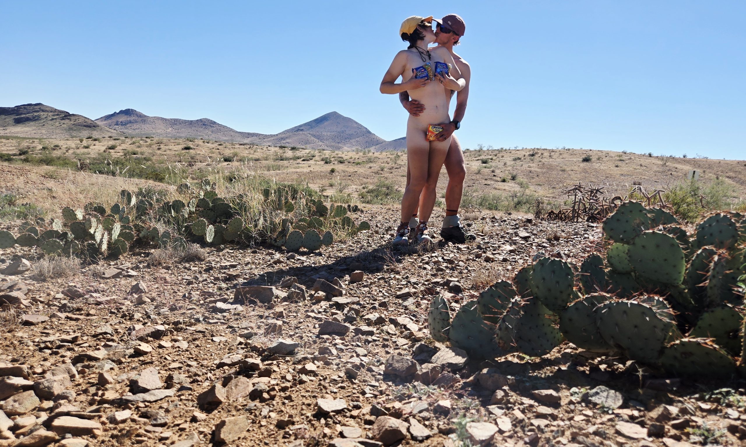
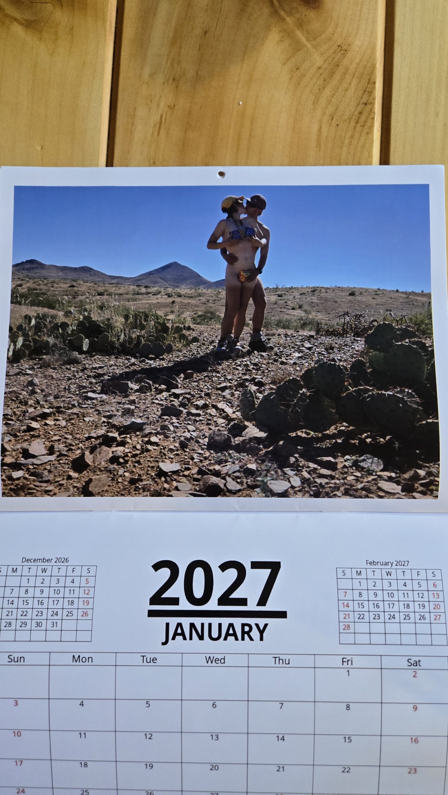
Our photo in the final product.
Giant guest in the tent
One evening, while reading in the tent a little past sunset, something stirred in the corner of my eye. I shined my headlamp towards my vestibule. Something long and skinny was clinging to the mesh. It was three or four inches long and looked like a stick with legs. Luckily, upon closer inspection, I was relieved to see that it was on the outside of the mesh. So it wasn’t in in the tent, but within the vestibule. Trespassing in my personal space, regardless. I took a couple shitty pictures in the dark with my phone’s flash on. Then I escorted it off the premises by shaking the tent until it fell off onto the ground and crawled away into the night.
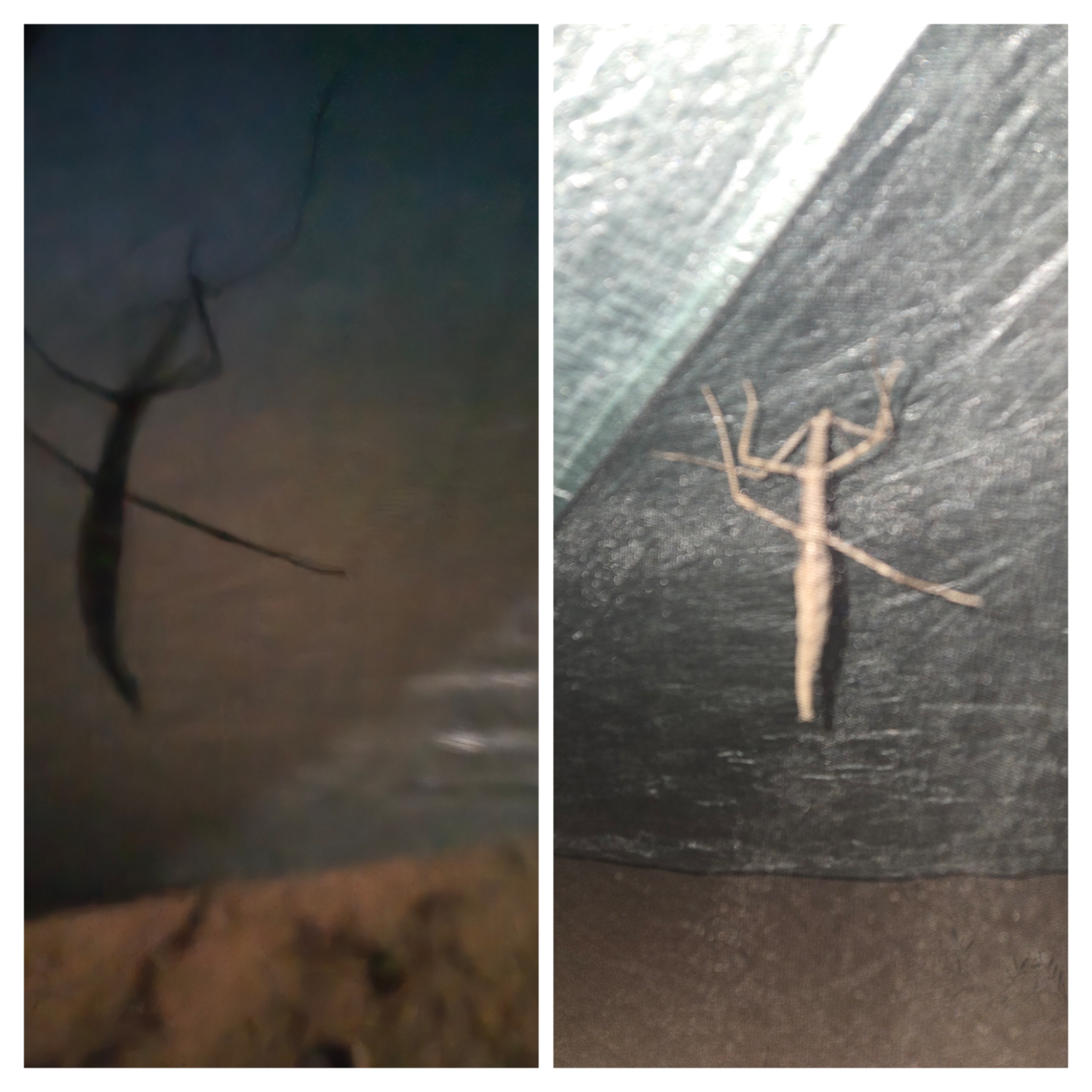
Told you they were shitty, but you can still tell what it is.
Sometime in the next few days when I had a bit of service, I Googled “giant stick bug New Mexico.” I was pretty close with the name! It’s commonly referred to as a “giant walking stick” and is North America’s longest insect, growing up to seven inches. I wish I could have gotten a better look at it during the day, but supposedly they are nocturnal. They are also obviously well-camouflaged seeing as they resemble sticks, so who knows, I could have walked right by a whole bunch of them out there. Walking sticks take their stick roleplay very seriously, dramatically falling to the ground and lying there immobile when threatened.
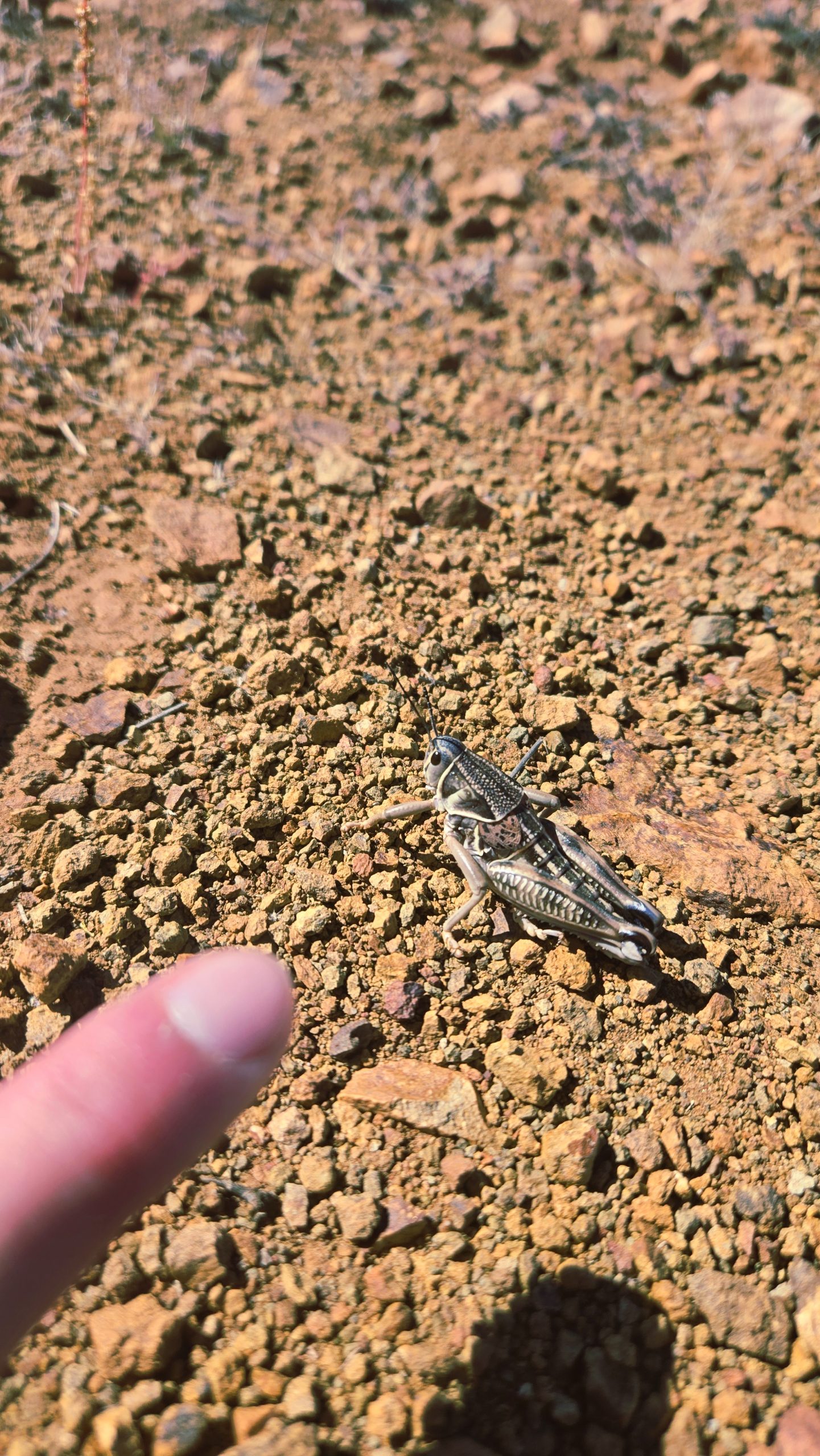
The other giant bugs we saw in the desert were grasshoppers about half the length of my index finger.
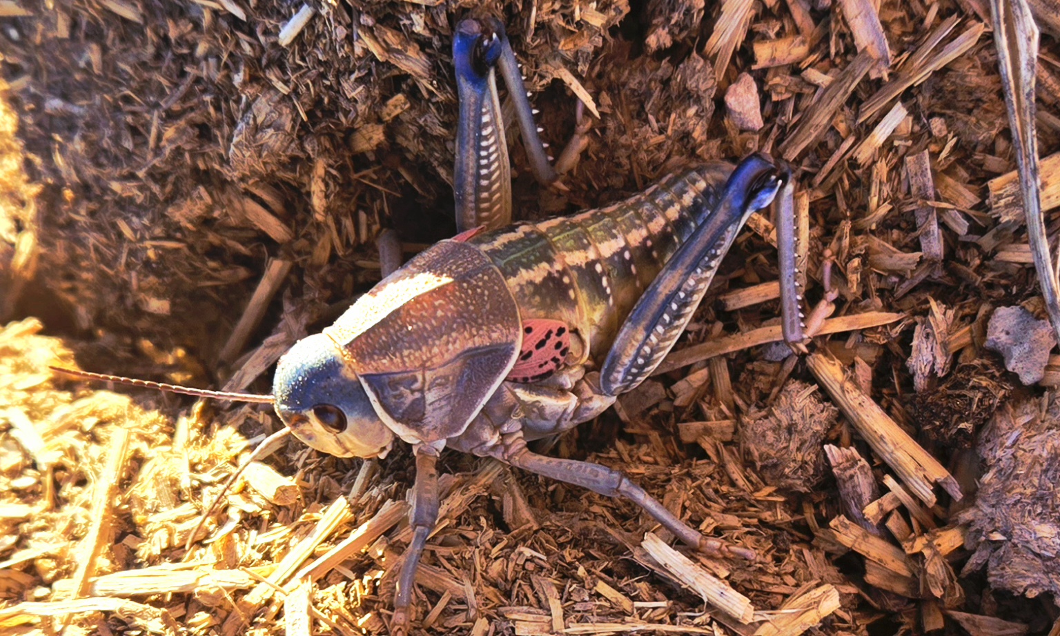
These guys had some really pretty coloring.
Desert: 3, Me: 0
The first victim
Within this final leg on trail I had an unfortunate stroke of luck with three of my personal effects. The first victim was my sleeping pad, which was so very close to making it an entire thru-hike without any holes or tears. That’s a good track record for me, as I went through two sleeping pads, each, on the AT and PCT.
When you get an undetectable hole in a blow-up pad, you usually find out because you wake up in the middle of the night or the next morning with it half inflated and your body touching the ground. This is exactly what happened. I tried my hardest to locate the hole with no luck. Oh well, at least it was a slow leak, meaning I’d just need to puff a few breaths of air into it sporadically throughout the night whenever I happened to wake up. Not a huge deal, but not I-deal.
Subtle thugs
I blamed goatheads for puncturing my slain pad. Goatheads are southwestern stickers, the sharp seed pods of an invasive plant species. These subtle thugs wreak havoc, embedding themselves sneakily and painfully into shoes, dog paws, and bike tires. My best guess was one had pierced through our thin dyneema groundsheet and tent, and into my pad.
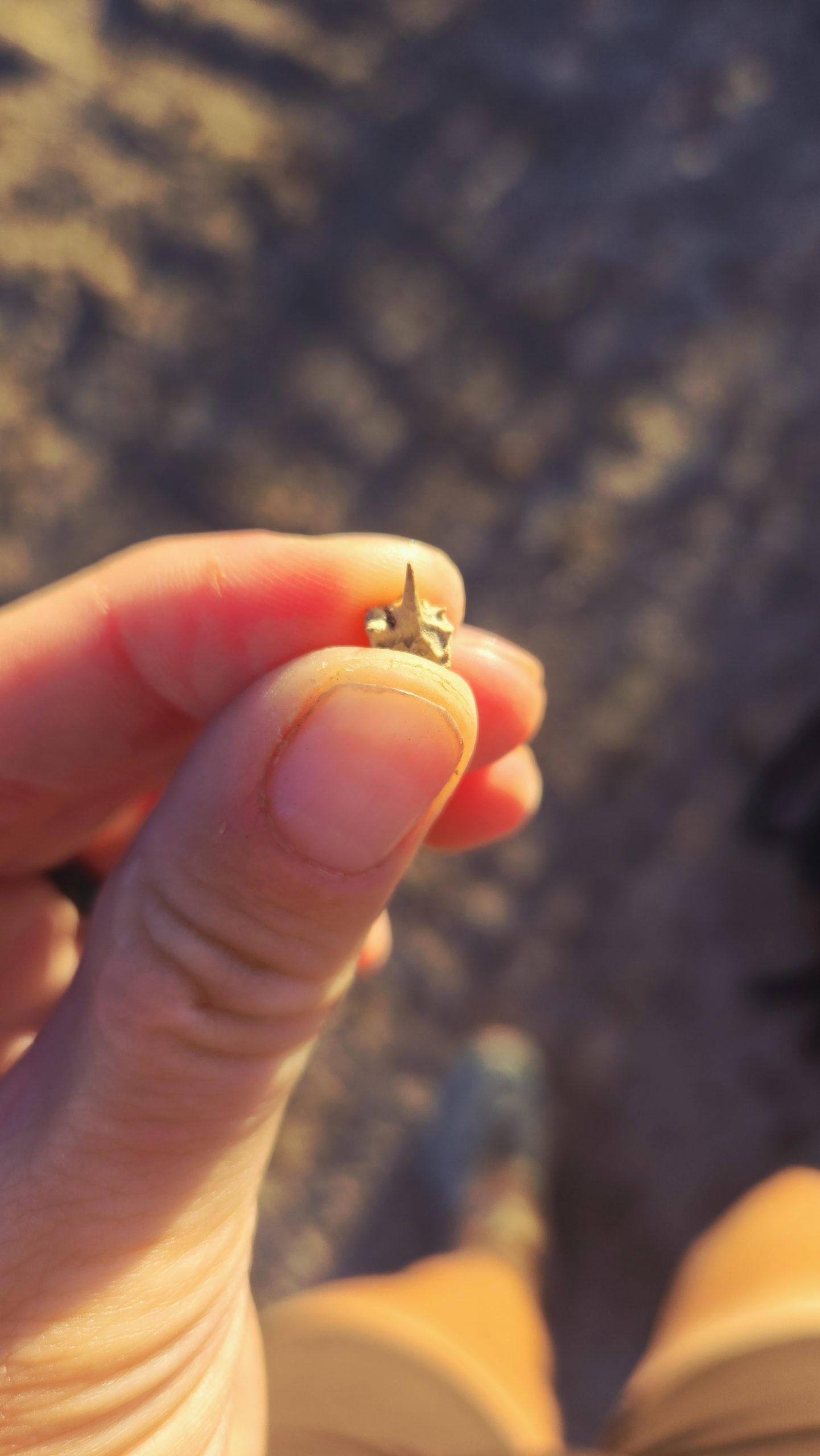
Goathead
The next casualty
One of my earrings was the next casualty. Yes, sadly, one of the new ones I’d just gotten a few days prior in Silver City. They unfortunately had come with very poorly fitting backings which easily slid off. I didn’t notice when it actually fell out of my ear. I hoped it had while I was sleeping and was just floating around rogue in the tent. It hadn’t.
Looking back at my selfies from the last couple days, I tried to zoom in to see if I could tell when I did or didn’t have both of them in my ears. Unfortunately the photos weren’t very helpful. Even if they were, though, I wasn’t going to walk miles and miles back for an earring. I removed the unlost one and put it in my toiletries pouch for safekeeping. At least I still have one. I figure I’ll get a chain and turn it into a necklace instead.
The final life claimed
Lastly, the desert claimed the life of my pillow. Perhaps the goatheads had struck again. Although this seemed less plausible this time, seeing as the pillow sits on top of the three inch thickness that is my pad. So I don’t know how they could have attacked the pillow through all that with their few-millimeter-long spikes.
Nevertheless, my final nights on the CDT became a constant rotation of “who needs to be blown up now.” Sometimes, I’d wake up and the pad was half-flat. Others, the pillow was. Still others they both were simultaneously. I’m sure The Show loved hearing me blow them up less than a foot away from him, every few hours, all night long. I was thankful this at least happened towards the way end of the trail and not any sooner.
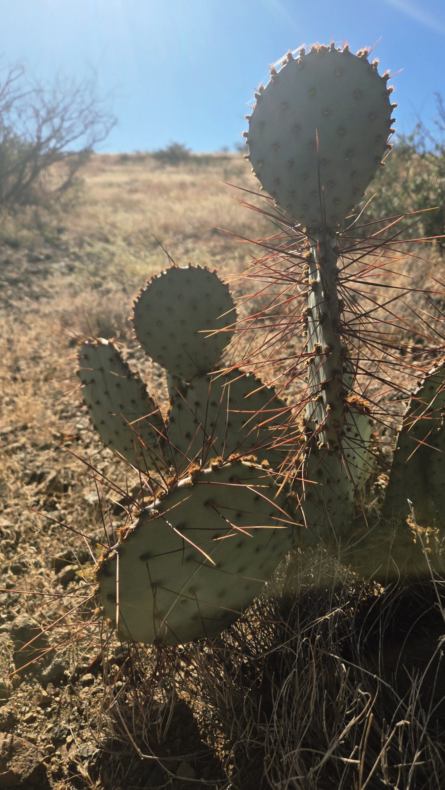
The desert is a spikey place! Not the best for inflatables. I believe this is a black-spined prickly pear. Its spines appear more orange than black in places making me question that, but I couldn’t find any evidence that there’s one called “orange-spined.” Someone correct me if I’m wrong.
For even more CDT photos, as well as video content, follow me @kellylevensen on Instagram!

This website contains affiliate links, which means The Trek may receive a percentage of any product or service you purchase using the links in the articles or advertisements. The buyer pays the same price as they would otherwise, and your purchase helps to support The Trek's ongoing goal to serve you quality backpacking advice and information. Thanks for your support!
To learn more, please visit the About This Site page.

Comments 6
As an old white guy, I really should take issue with the “snoring like an anguished cow” comment, but it hits too close to home. I feel really bad for the other hikers if I have to share a shelter or room.
Congrats on making the front page of the calendar — y’all make a cute couple!
Hahaha I jest but we all know it’s true! And thanks!
Funny writing. Two more moons and I got the hint. I didn’t think you’d share but it was a nice shot. Thanks for letting me tag along.
Haha thank you! I didn’t mind sharing my own photo, it’s censored afterall. Just the group shot felt wrong to share without everyone’s explicit consent.
Very tastefully done, TS. I admire your courage. 🙂 I’d need bigger ramen packets! 😀 Thanks for another great post!
Thank you! Haha!