 ">
">
If the creek don’t rise
The Benton MacKaye Trail is full of surprises. On my first day out of Blue Ridge, I discovered the Little Free Library, located just a few yards off the trail. There’s a sign on the trail pointing to it, but you have to see it to believe it.

This cool little experience was the start of a great day of hiking. I breezed through 14 miles even after a late start out of town. The warm weather allowed me to wear shorts and a sleeveless shirt, and it felt great! It also felt great not to be hiking sick for the first time on this trip.
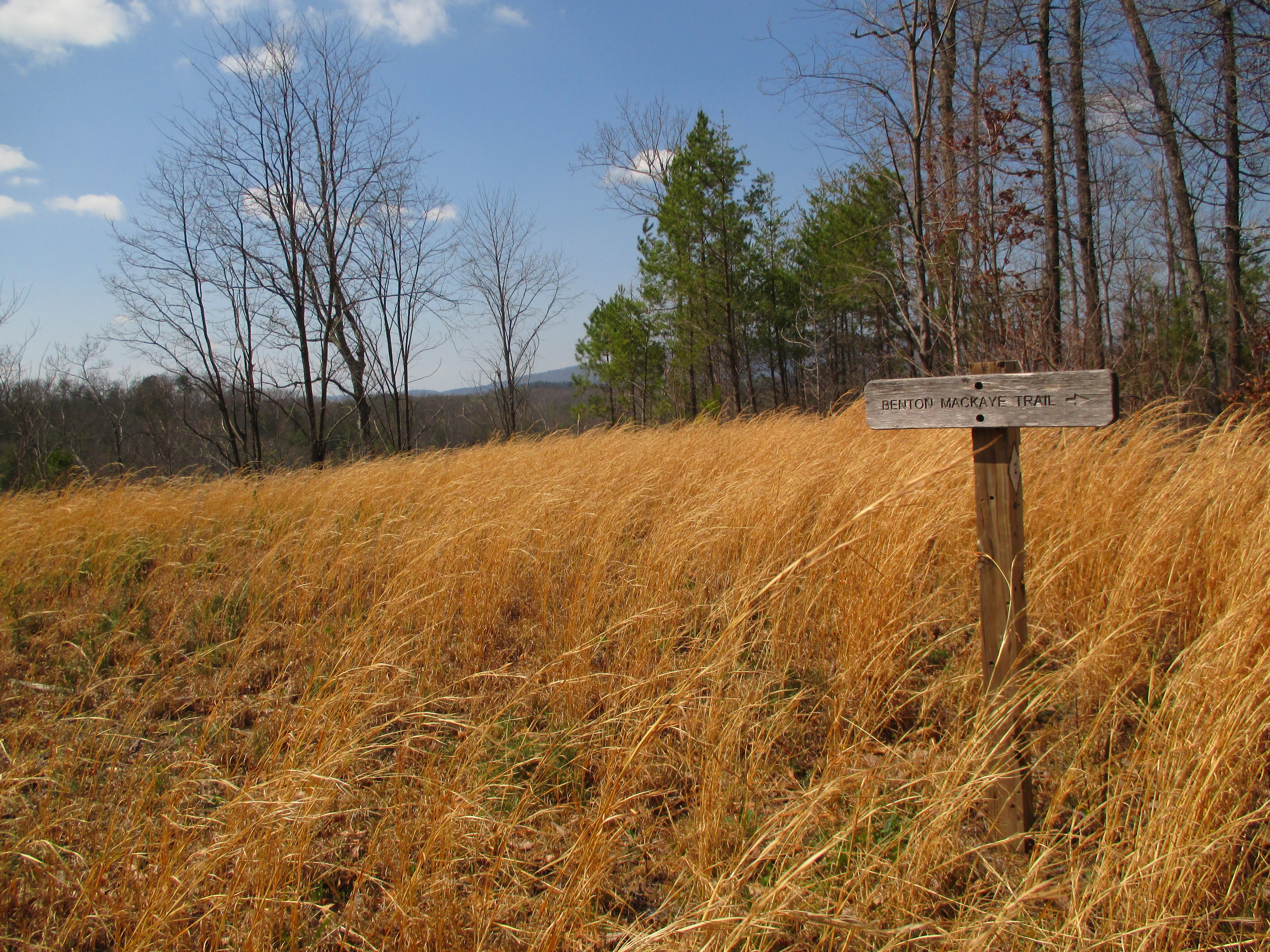
The next day, I started hiking early to try to beat the rain that was forecast to arrive later in the evening. It worked! I covered 17 miles to the Tennessee state line and pitched my tent just before the first thunder rolled. Getting to this point wasn’t easy, however. The trail is sparsely blazed in the Cohutta Wilderness and I came across a junction that had a missing sign. Which way did I go? The wrong way, of course.
A word of advice to all hikers: don’t take directions from other hikers on the trail, especially if they are headed in the opposite direction. Earlier in the day, a couple of backpackers warned me to turn right when I reached the missing sign. They said they walked around aimlessly for a couple hours before finding the BMT again. Well, it turns out that their right was different than my right. In the end, I figured out where I was and followed another trail to rejoin the BMT. This added some length to the day’s mileage, but all that mattered was that I made it back on the straight and narrow path.
Not quite. After being jarred awake repeatedly from near-sleep throughout the night by ear-splitting thunder, torrential rain, and high winds, I made quick work of the steep climb to Big Frog Mountain. But I encountered trouble on the way down when I spotted my first creek crossing. The night’s deluge had swollen the creek so much that it looked and sounded like a raging river. After some hesitation, I waded slowly into the swift moving, knee deep water and eventually made it to the other side thanks to the support of my trekking poles. I was relieved until I saw the next crossing a half mile later. This one was twice as long and even more gnarly. Being a solo hiker, the risk was more than I was willing to take, so I got out my map and plotted a detour that would add a few roundabout miles to my trip. I must have chosen the most strenuous route in the area because those few miles felt like twenty. I didn’t plan to go into town that night, but when I reached US 64 late that afternoon, I hitched into Ducktown for a cheap motel. One pizza later and all was well again.
Back on the trail the next morning, I was re-energized and covered 14 miles to my campsite on Lost Creek. This was the first blue sky day I had on the trail and the views were tremendous. I also walked through some burned areas from last year’s fires. Many trees were strewn over the trail and made the going tough, but this day was easily my best day of hiking yet.
I’m at mile 110 now and am taking a nero in Reliance, the trail’s low point at 792 feet along the Hiwassee River. There’s a tackle shop in town that rents a cabin. Hopefully, this new round of severe weather will blow through overnight while I have a solid roof over my head. Tomorrow, I turn east and begin the 80 mile stretch to Fontana and the Smokies.


This website contains affiliate links, which means The Trek may receive a percentage of any product or service you purchase using the links in the articles or advertisements. The buyer pays the same price as they would otherwise, and your purchase helps to support The Trek's ongoing goal to serve you quality backpacking advice and information. Thanks for your support!
To learn more, please visit the About This Site page.
