
 ">


Day 24: Our First Bad Weather Alternate
- Castlerock Ski Patrol Hut (158.1) to Appalachian Gap Bad Weather Alternate (off 164.8)
- 0 feet ascended, 2172 ft descended
- Bonus miles : -3.6
The Long Trail is not like the Appalachian Trail. In fact, the Long Trail is not like any other trail we have hiked. The Historian has hiked a little over half of the AT and I have hiked all of it. Years ago, we did the Wind River High Route. We have hiked on the Pacific Northwest Trail, in Glacier National Park, in Bavaria, Switzerland, and gone hill walking in Scotland. I have even hiked part of the Great Wall of China. The closest experience to the LT was hill walking in Scotland. The biggest difference is that in Scotland people know hill walking is dangerous. The Long Trail has a much more subtle reputation. It is only 273 miles long, How hard can it be?
Roots
One of the subtle things about the Long Trail is the presence of roots. The trail is covered in them. We constantly marvel at how the trees can thrive with so much stomping going on over them.
The roots have developed thick hides to survive the foot traffic. They gnarl up and over each other entwining with other roots and rocks to create a strong mat. At times, the mass will rise a foot or two or even three or more from the surface of the ground.
Walking through these gnarled entanglements presents ongoing opportunities to slip or trap a foot that could come to a unceremoniously abrupt halt while the rest of your body continues it’s forward momentum.
Vermud and its Hardening
One thing that is very different than 1975 is the success at hardening the mud. We often waded through calf-deep mud for hundreds of yards at a time. My worst experience was sinking thigh deep in a bog. Rich was unable to pull me from the slop.
Finally, we laid branches and twigs across the mud and he was able to lie on them and help ease me out from a parallel position after I removed my pack. It took over an hour and I almost lost my boot to the mud.
These days, the mud is not as deep, or there are bog bridges and stationary rocks over which you can move. Nonetheless, the risk of slipping on a big bridge or fallnig off a rock hop is real.
Rocks
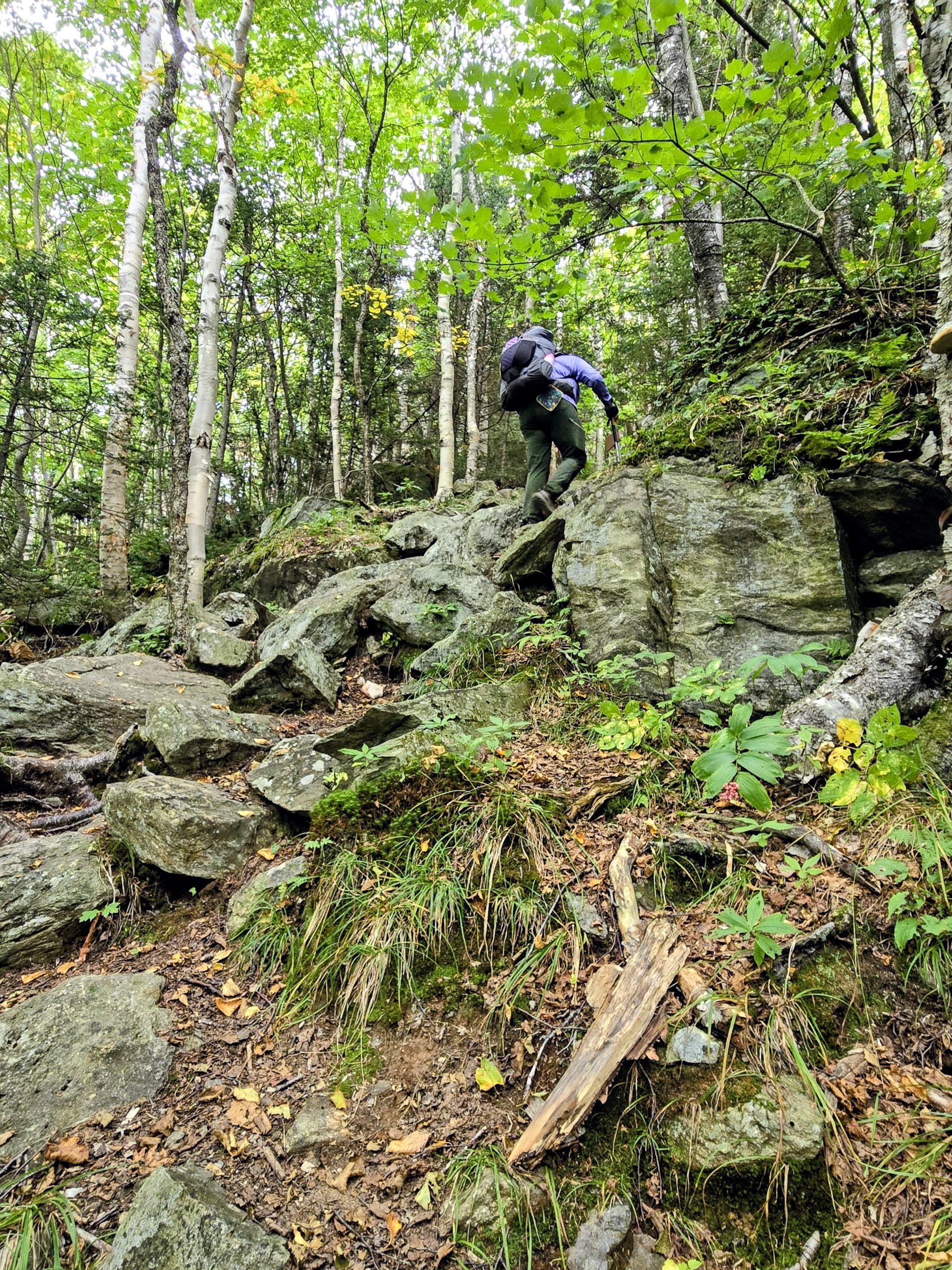
There are two core categories of rocks: parallel and horizontal. Parallel rocks generally lie politely on the trail. Sometimes they are “tipper rocks” but mostly, the challenge is foot placement so you don’t get your foot caught between rocks or slide sideways off of a foot tall rock.
Horozntial rocks form an uphill trail. They can be boulders of various sizes ranging from steps to car-sized ones. They may also be smooth slabs that rise into the air. The pitch of them ranges from 10% to 15% or more. These less steep rocks are usually granite and you can mostly walk up them.
Sometimes the slabs are much steeper and require hand-over-hand manovers to prevent you from sliding off. The three (or more) point method is necessary. Always keep three points of contact before moving to the next “step”. Two hands and a foot, or two feet and a hand. Sometimes one of the points is a knee.
The amount of bouldering/slab climbing varies from a random short section to miles like can be found on the alpine sections.
Ladders
The Long Trail makes use of ladders. Some are straight in from the discount lumber store. More are wood or embeded rebar.
Getting over the psychological part of the ladders seems to be one of the more difficult things. Some people balk at the idea of climbing with a backpack on an aluminum ladder bolted to rock. Some have a rope hanging beside it for added safety.
Wood ladders can be very steep. Others are less steep and embeded in the dirt. Forward or backwards? If it is less steep, facing out looks like an option until you hit a step that is 24 or more inches high. Facing the hill, going down backwards can be easier until you lose sight of what the next step contains.
Rebar embedded in the rock may be the most confusing. Will it hold? What glues the metal to the rock? It can also be hard to see, black against the gray granite.
The Role of Water
Wet roots are risky but wet boulders and slabs and ladders are life threatening and best avoided until dry weather.
Personal expeience tells that a vibram boot can easily slide sideways on wet rebar. It may never provide any traction at all on wet marble rock. Moss often grows on granite. When it is wet, it rolls off the rock like an old scab leaving your foot with no hold at all.
Anxious Sleep Awaiting the Storm
We set up quickly in the Castlerock Ski Patrol hut last night. The Historian and I smiled. The carpet on the floor wasidentical to the ski patrol building we worked in back in the 1980s. Against the wall was a stack of patrol rescue sleds. I hefted the edge of one of them and was surprised to find they were still just as heavy as they used to be.
Dinner was delicious. We made an impromtu soup of bone broth, quinoa, black beans and dehydrated garden vegetables. It lifted our spirits.
The Rain Starts
As the sun fully set, the storm rolled in. The wind howeled and the fog enveloped the hut. The rain was steady but not heavy.
The 1 bar of bandwidth we had said the rain would stop at 10 am. We only had 5 1/2 miles to go to our double zero but there were cliffs, ladders, and an exposed ridge between us and the gap.
We decided to sleep in and wait to see what 10 am would bring. Several people who knew the Long Trail well had warned us not to try to go down the cliffs and ladders in the rain.
Waiting
We slept well enough, finally giving up sleeping by 8 am. Fog swirled around the hut. Rain dripped on. Outdoor necessary runs were wet, cold and miserable. The potential danger of following the main trail was unspoken but loud.
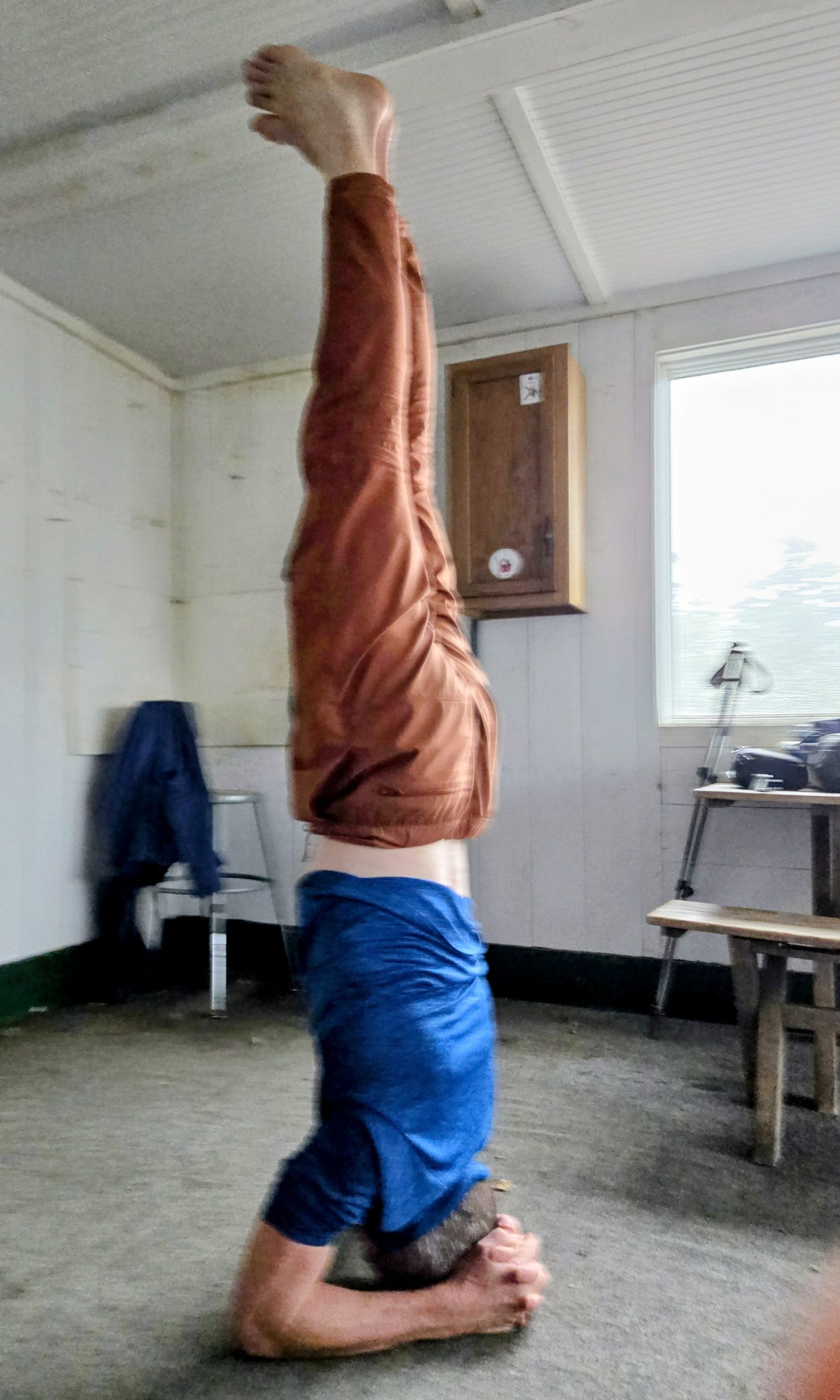
Rock Rabbit focused his nervous energy into rediculously hard yoga postures. Some took him minutes at a time to achieve a single pose. Unfortunately, I did not think to take any photos of the more advanced poses but we were still impressed by the handstand that transformed into an upside down lotus position without ever thouching hands on the floor.
The Historian asked if there was an escape route we could use by winding our way down ski slopes underneath the dangerously rocky crest.
I was able to get a weak phone call out to the Sugarbush corporation. Emily went to great lengths to find someone who could help us plot a safe way down.
Heading Down
About 11, we stepped out of the patrol hut. The rain had stopped but the steep ground was wet.
Following the route suggested by the map and confirmed by the Sugarbush staff, we started our descent. The first .3 of a mile dropped us 469 vertical feet. Each step was tenuous, the wet ground giving way under our weight.
After a mile and a half, we saw a runner coming uphill in the fog. The pitch was lessening and our confidence in not being a stastistic was increasing.
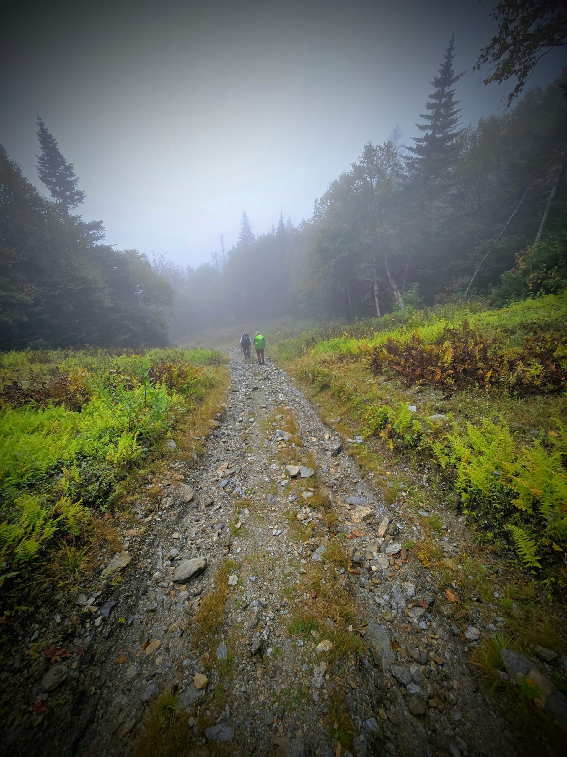
We finally broke out of the clouds and came onto a maintenane road that soon led us over a river and into the valley.
Late Lunch
As we came fully into the valley, filled with relief, we spotted two men at an outside table sipping beer and chatting.
Low and behold, we had stumbeled onto Rumbles resturant. They graciously accepted our wet bodies and looked over our packs while we ate a wonderful repast. Salad for me and sandwiches for the guys.

We topped it off with dessert. The Historian’s creme brule looked like a crab brule.

We were disappointed to need to take a weaher alternative, but ever so happy to replace the churning anxiety of dread in our stomaches with warm and flavorful food.

This website contains affiliate links, which means The Trek may receive a percentage of any product or service you purchase using the links in the articles or advertisements. The buyer pays the same price as they would otherwise, and your purchase helps to support The Trek's ongoing goal to serve you quality backpacking advice and information. Thanks for your support!
To learn more, please visit the About This Site page.
