 ">
">
Episode 8: Mount Whitney, Forrester Pass, and the Sierra Wilderness
Kennedy Meadows to Kearsarge Pass, Independence, and Bishop (Roughly 120 miles, but only 86 official PCT miles)
The last week was our toughest one yet, but also our most rewarding. We pushed ourselves to do more miles than normal over the our toughest section yet, the beginning of the Sierra Mountains.
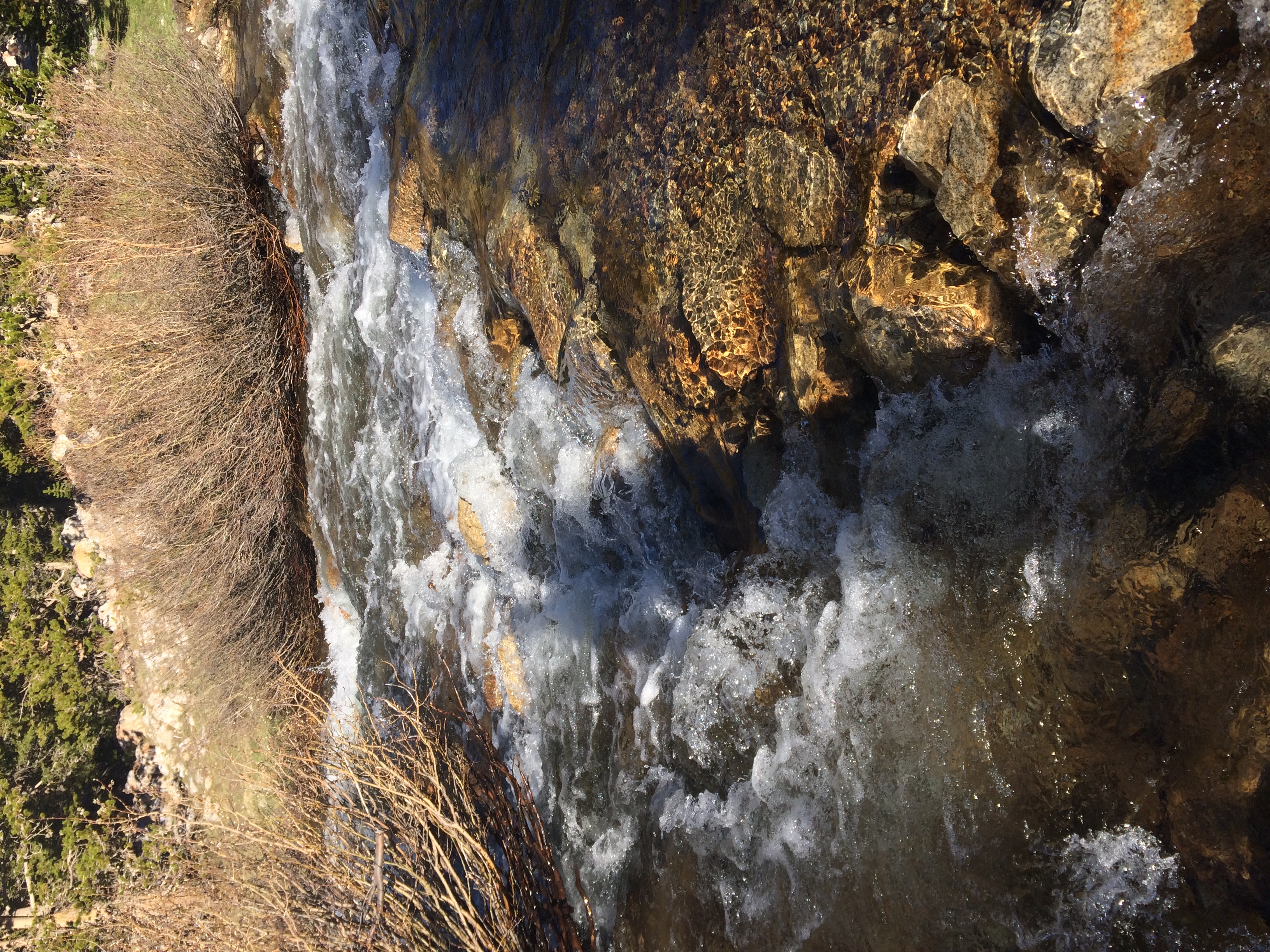
The Sierra trail is well graded and smooth, but it’s cut along a jagged mountain range above 10,000 feet. Entering in early June means traversing hard snow by morning and postholing in soft snow at night. Every day at this time of year the scorching high-altitude sun melts the snow more, sending torrents of water rushing down into the bloated streams and creating another obstacle for our hike. After 700 miles of hiking through the desert, we find ourselves abruptly faced with water in every form.
But the Sierra mountains are as famous for their beauty as they are for their isolation and logistical difficulty. Every day we are faced with the sharp reality of struggling for breath or fording freezing rivers in the pre-dawn cold, but moments later we can only stare around in amazement. In hiking, rewards often lay outside the boundaries of comfort, when one extreme collides with another. Everyday the sunrise, the stunning views, and the sheer wildness of the Sierra makes us forget our aches and pains so that we always remember how lucky we are to be on this trip.

Our first real day of hiking in the Sierra wilderness was spent readjusting to altitude. From the 6,000 foot range we’ve grown used to we hiked to our new normal: 10,000 feet and above. We were all harboring the unvoiced hope that we had acclimated so completely to 6,000, we wouldn’t really feel the difference of 4,000 feet. Our puffing and panting dispelled that pretty quickly, and we finished the day about 18 miles up at an epic campsite, our legs full of energy and our lungs feeling useless.


Altitude sickness is one of the most frustrating obstacles in hiking. Like the wind, it’s invisible and impossible to control. No matter how much energy you have, no matter how strong your legs feel, you can only move as fast as the slow leak of oxygen allows. You suck at the air and you can almost feel it makings it’s lazy way through you, meandering down to your legs and crawling back up again. If you forget yourself and try to rush, you find yourself gasping, doubled over. At night, your body wakes you up frequently, panicked, telling you something’s wrong; you can’t breathe. Hikers are warned that they’ll see their mileage drop in the Sierra, and on our first day we were already experiencing that.
But the Sierra is complicated not only because of elevation, but because of timing. Mount Whitney’s peak was 53 miles away, and we knew we had to reach it early in the morning so the snow would be hard still. This meant that we could move about 14 to 15 miles a day for three days, or put in two marathon 23 mile days and wake up at the crack of dawn to summit. The best testament to the damaging effects of low oxygen on the brain is probably the fact that we opted for the latter plan.

‘Sparrow bridge’, where hundreds of sparrow families congregated.
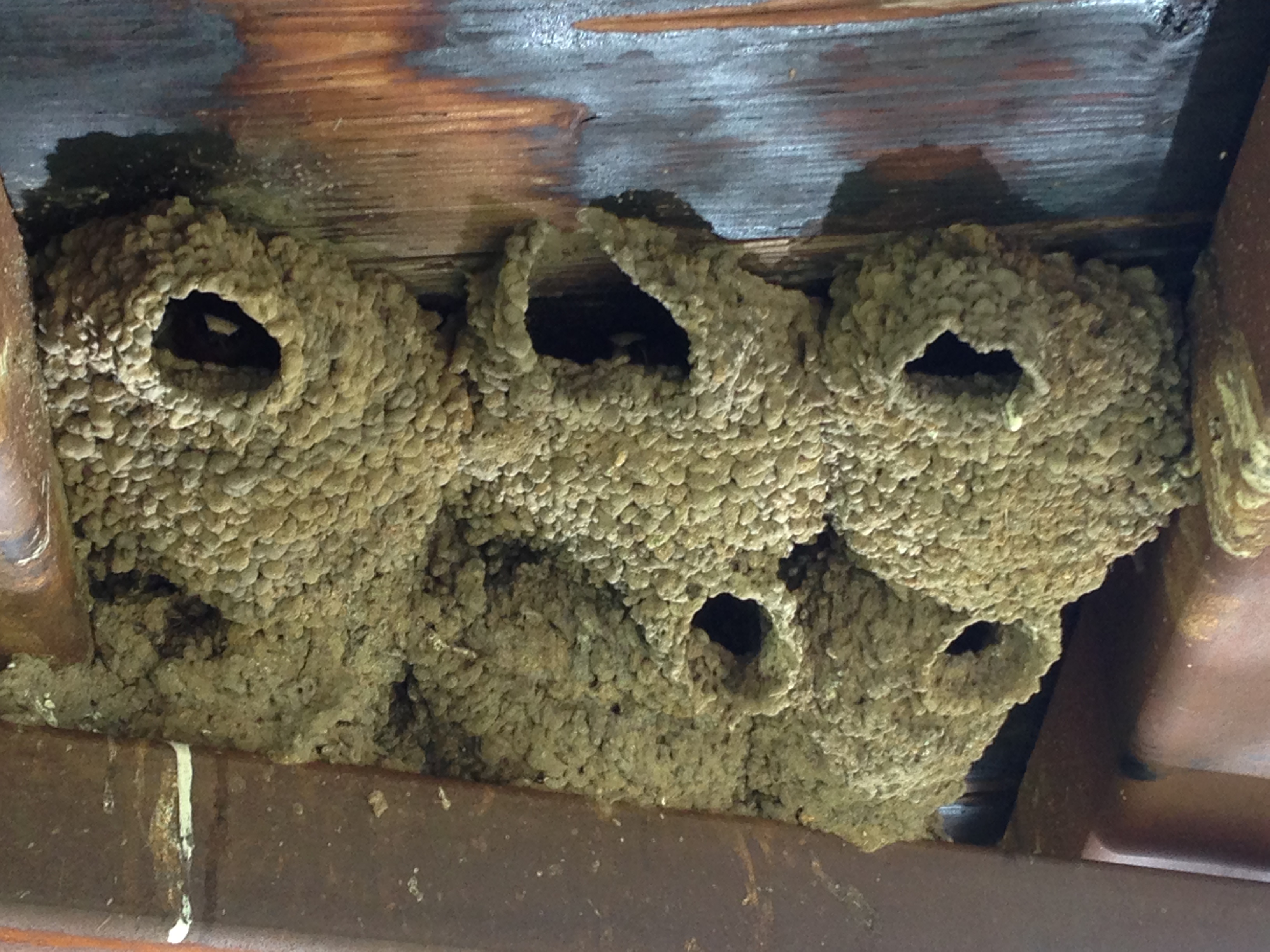
Little beaks poking out of their nests.

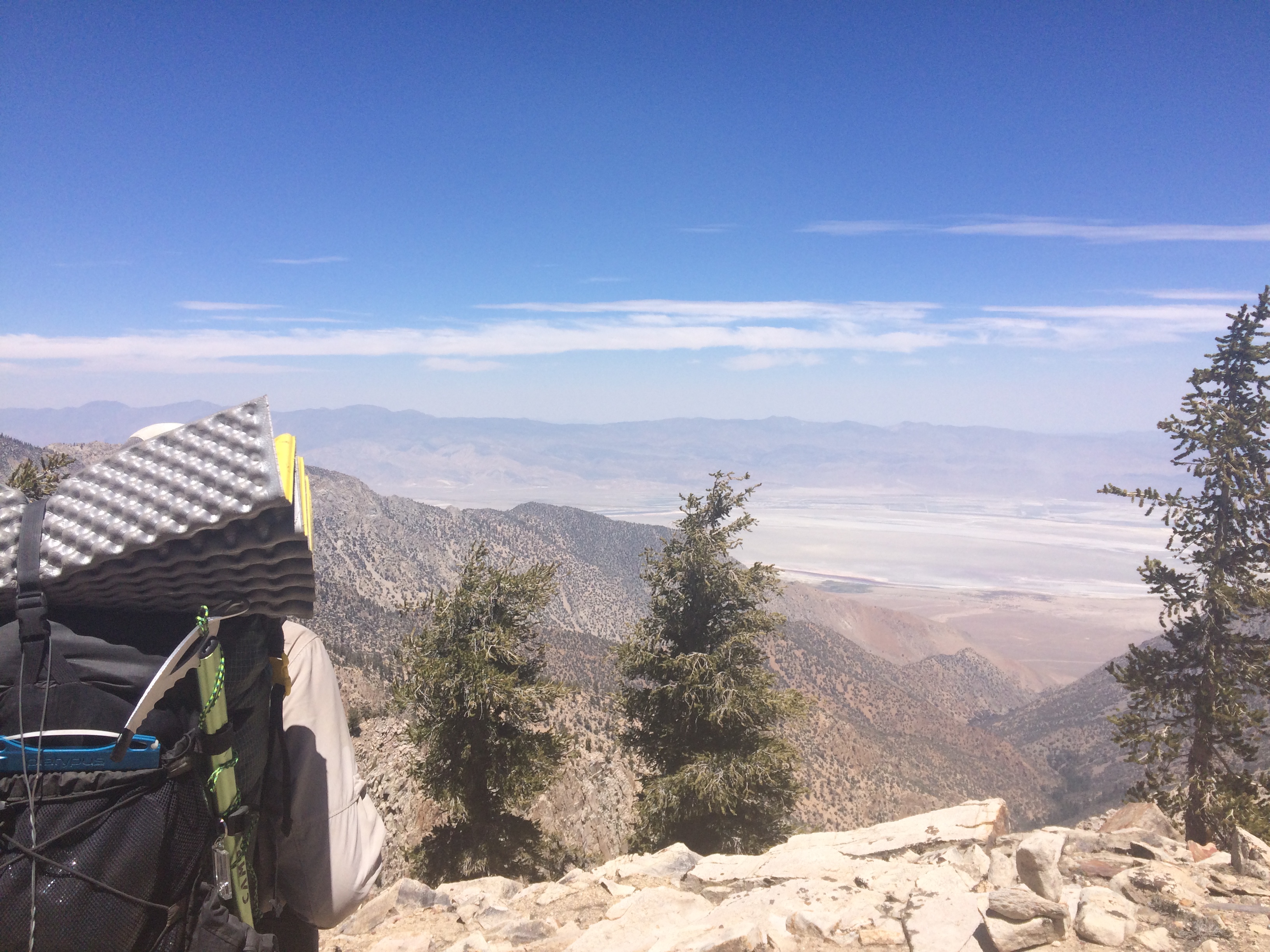
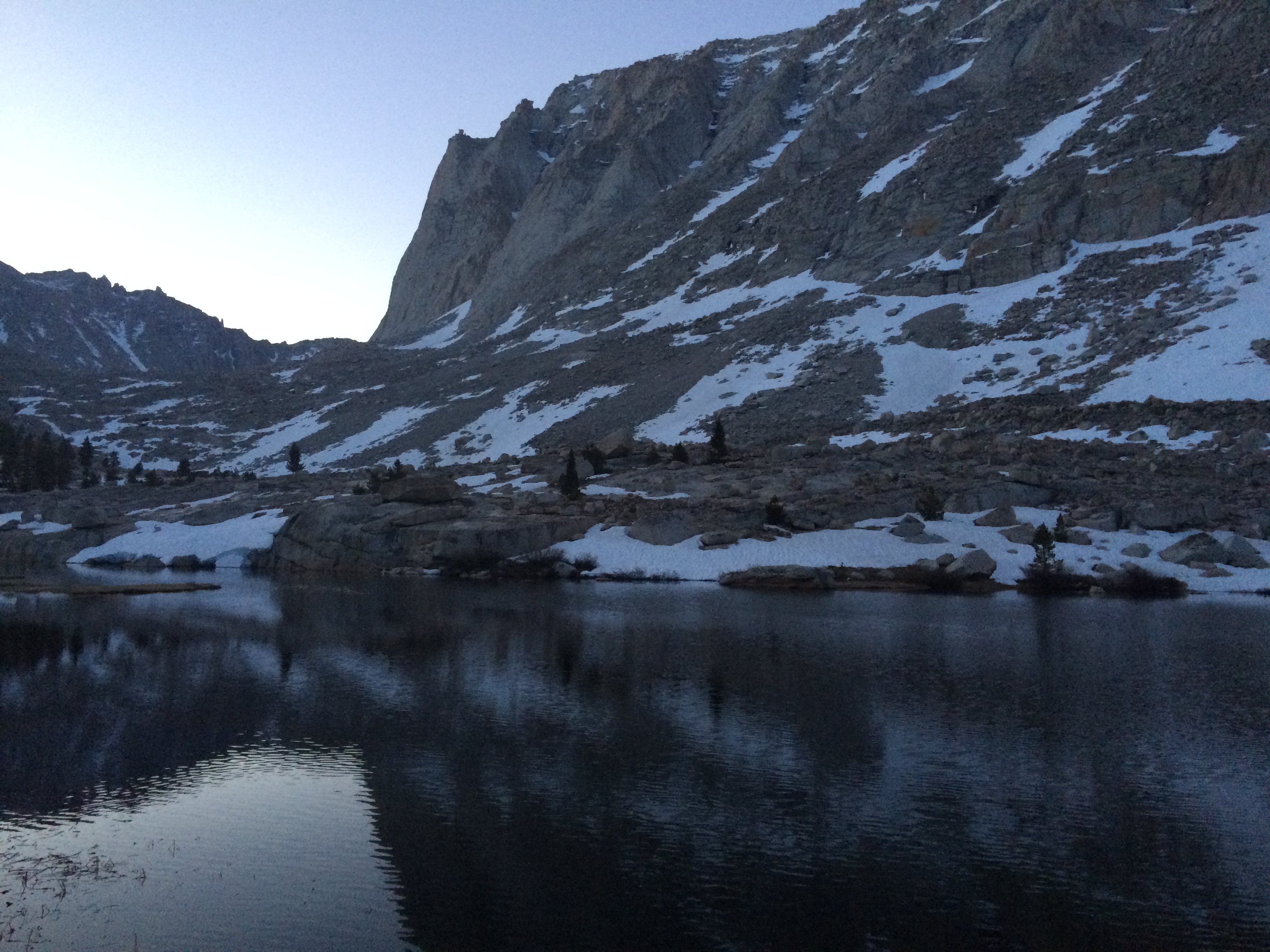
In the Sierra, everything is a view.

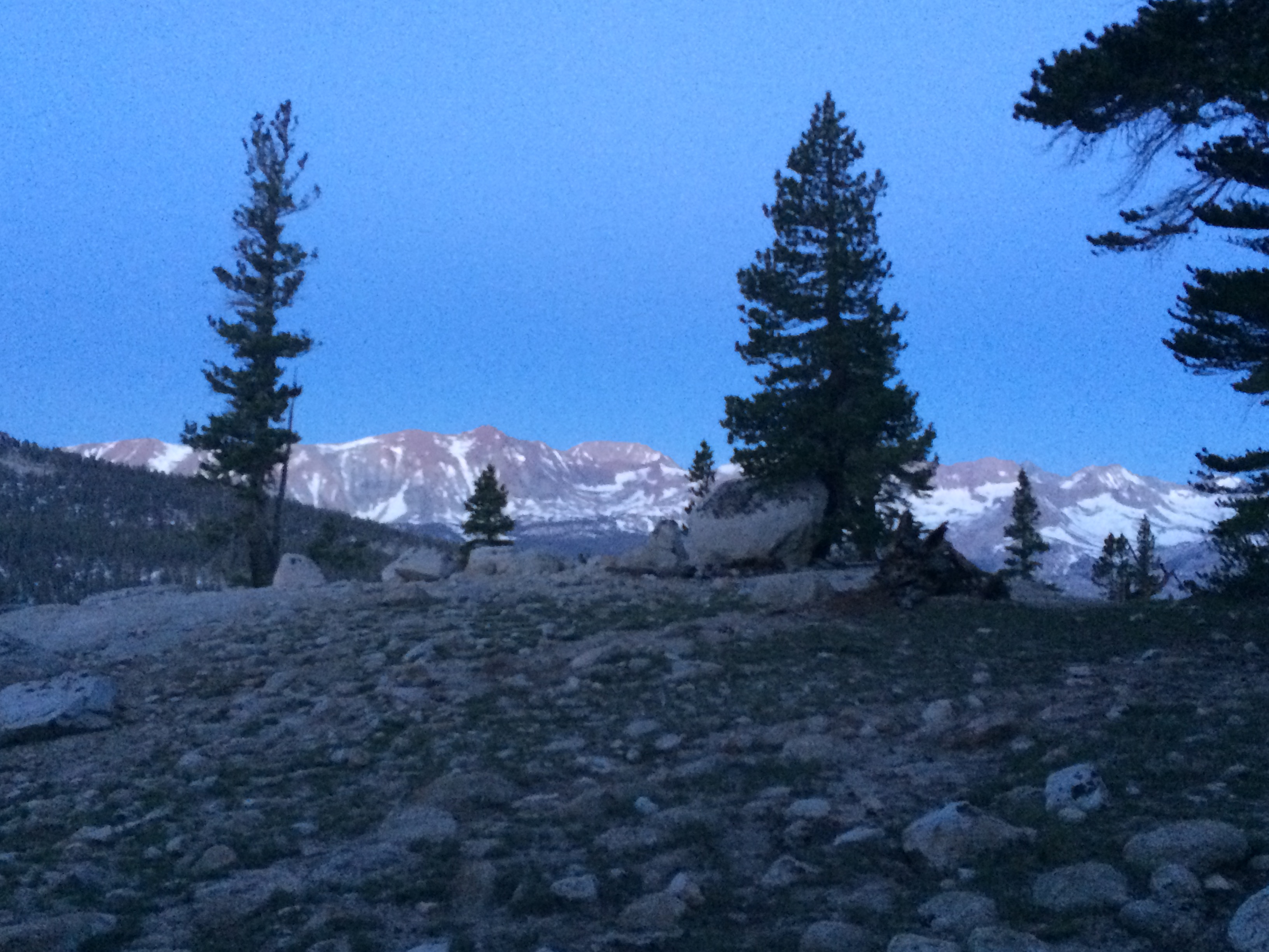
The sunset on our first night.
The Death Hike 2016:
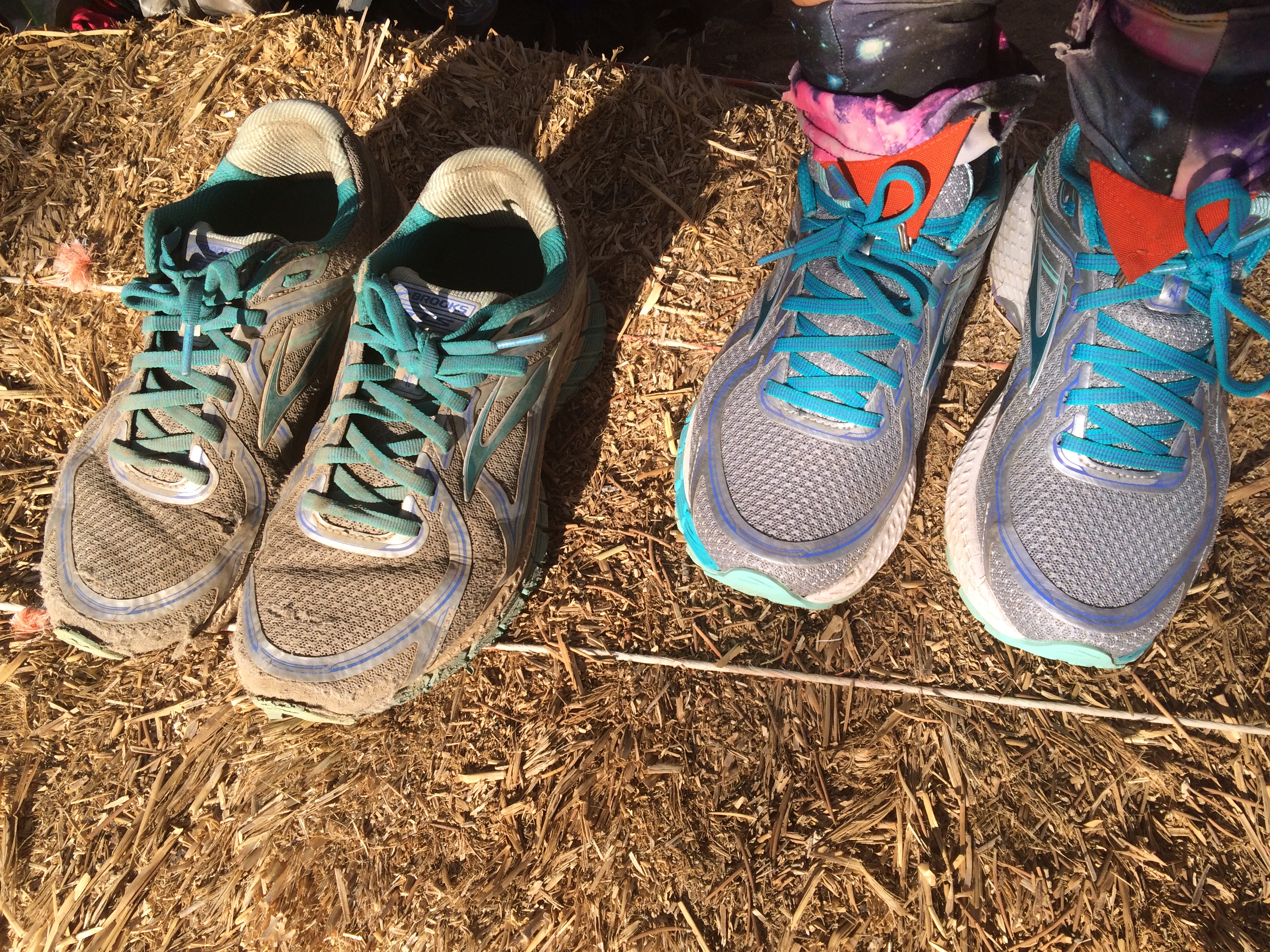
We started on our first long day bright and early. We were excited for the challenge and we also sort of knew we had to do it. We only brought about 5 nights of food for roughly 111 miles. Was that stupid? Probably. But apparently our fear of hunger was trumped by our fear of carrying too much. Not to be outdone, Toe Touch opted to risk both knees and fat reserves by bringing 12 days of food to get her over 200 miles to Red’s Meadow:

That day we were all hyper-aware of how we felt. The day before we had run into The Voice, Skywalker, Hilarious Turtle, and Tuxedo at the sparrow bridge and learned that most of their group was sick. As we hiked on, we met up with a few other groups who had sick members. It seems like there’s a type of Western Norovirus or something on trail; dozens of people have been nauseous and vomiting after leaving Kennedy Meadows. We had a theory that the overflowing porta-potties probably contributed to the problem, but who knows?
We flew through day one, ending at a boulder field with another incredible view. We spent the warm night making dinner and talking while the sun set. Bivvy has officially joined Mile 55, for some unknown reason deciding he wants to hike with us. An Irish cartoonist, he has just the right amount of whimsy to temporarily replace Camel, who at this point was still waiting out the reopening of the burn area before Kennedy Meadows. Luke fits right into our group, and if you’re reading this blog, you should probably also read his book here (shameless plug).

Day three of the death hitch started with an alpine lake. I slept fitfully the night before, waking up at 4 AM feeling confused and frightened. The lack of oxygen is definitely interfering with my circadian rhythms, but it’s also getting me awake earlier. All day I dragged my feet. It was probably my toughest day on the trail, if I’m being honest. Despite being incredibly beautiful and fairly easy terrain, I couldn’t shake the growing concern that I wouldn’t be able to hike Whitney. I was so out of air all day that I couldn’t speak and walk at the same time, and I felt like I had to keep stopping to try to catch my breath.


The saving grace was this bizarre new world I was walking through. There is no way to capture the Sierra mountains with words or pictures; it is the most beautiful place I’ve ever seen. The landscape is full of long meadows hemmed in by massive snow-capped mountains. Soft foothills rise out of the trees and catch wispy clouds in the ‘Sierra wave’, an undulating flow of clouds that glows in the sunset. Every part of this landscape seems to be striving to contribute to its beauty. The massive trees have a thick, almost mossy bark that they lose when they die. Unlike most snags though, they become more beautiful in death. The bark falls off and reveals their real growth pattern; not linear, as the straight bark would suggest, but curving around, twisting up into a cone shape at the end, a swirl of red and white and yellow that reaches for the sun. Even the siren song of self-pity couldn’t distract me from these details


By the end of the day, I was feeling better. It wasn’t easy; I had hiked at an embarrassing pace all day, but I had made it. The last couple miles to the junction with the Whitney trail and the campground, I was rewarded with a Sierra sunset, which made the rocks golden and the sky seem more blue. When I got to camp with Spoon, Toe Touch and Centerfold and Bivvy were finishing up dinner. We also found the Warrior hikers again, who were planning to leave the campground at 1AM.
Toe Touch gave me a big hug, which means she knew what a hard time I was having. We made our plans; wake before dawn, hike to the base of Whitney, and start up around sunrise, and Spoon and I went back to the tent to fitfully toss for a few hours (there was no way to sleep with Whitney looming over us).

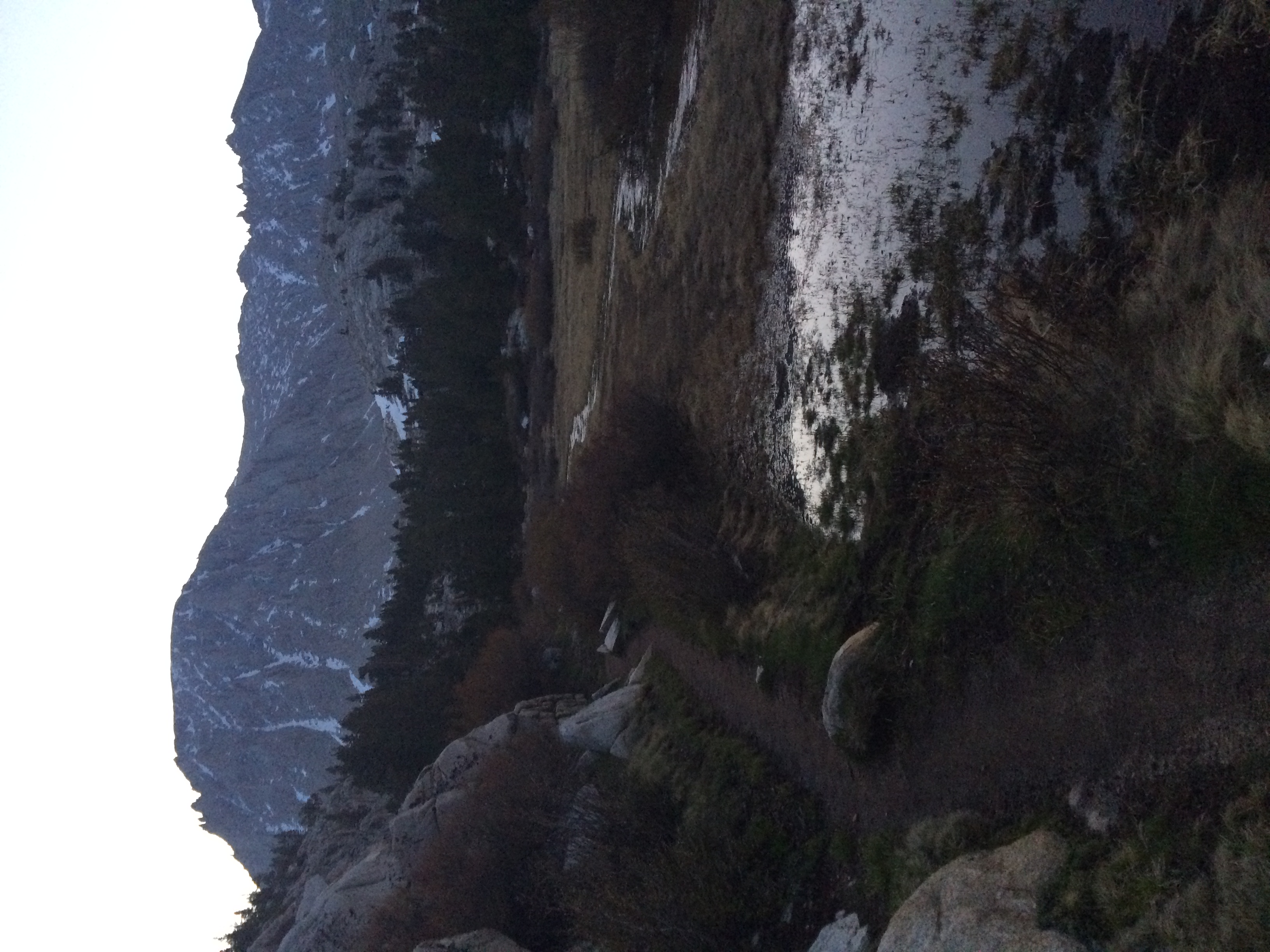
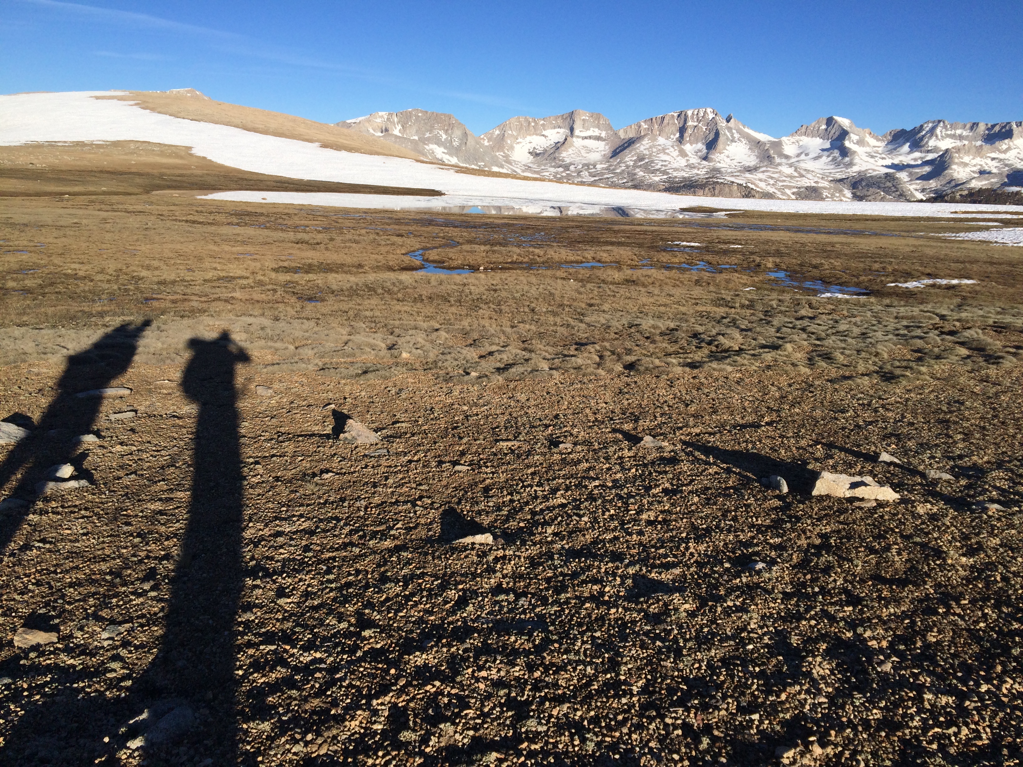
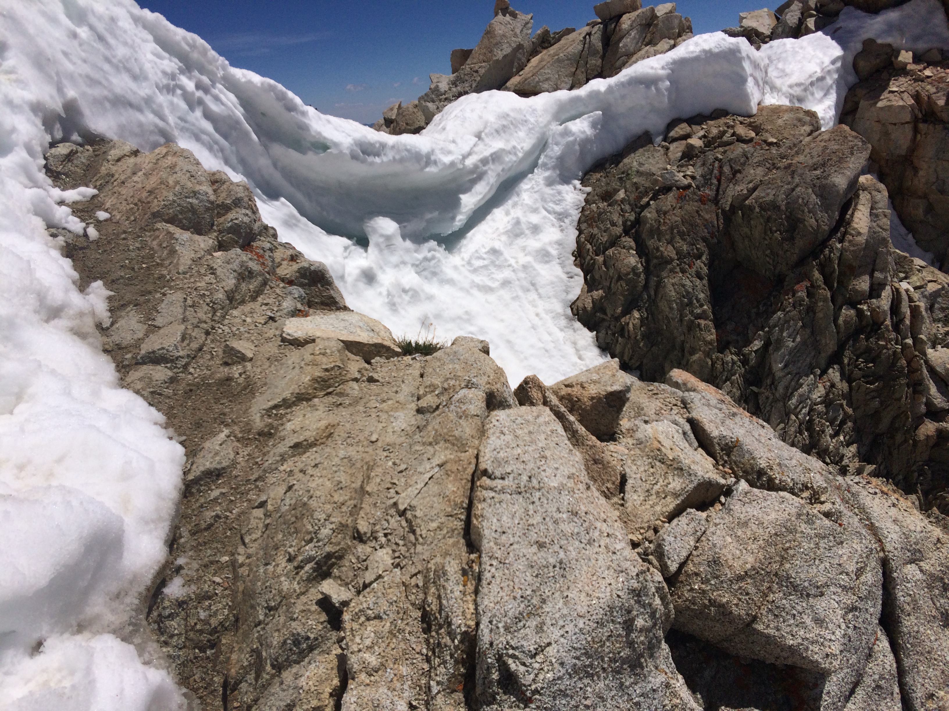
This is not Whitney, but it is a mountain.
I woke up for good at 3 AM and stared at my phone until 3:30, when the alarm went off. I could hear Spoon’s breathing behind me and I knew he was awake too. I rolled in my bag and faced him and admitted, ‘I’m scared.’
The night had been full of old memories. When I was in Americorps in 2011, we did some higher elevation hikes. The hard thing about being part of a crew, then and now, is that no one wants to be the weak link. There were multiple times – going up Mt. Adams at 12,000 feet and even going up South Sister just above 10,000 – where I had bad enough altitude sickness that I had to stop completely and hold up the group. It was an experience that made me bow out of climbing Mt. Rainier, out of fear that I’d hold everyone back, or worse – that I’d prevent people from summitting.

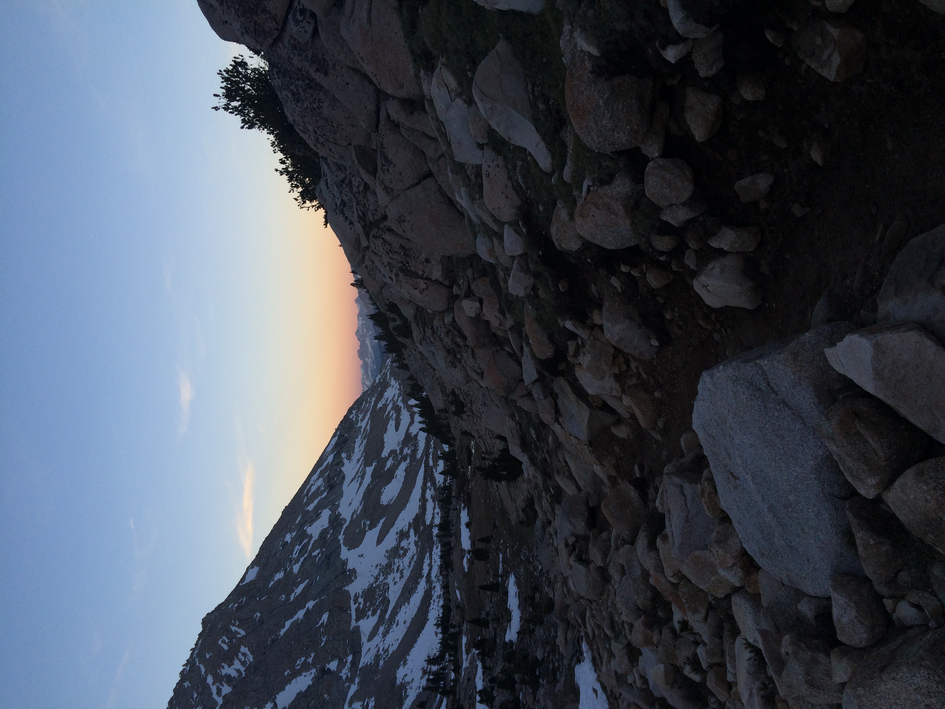
The silence of pre-dawn was a good time to reflect on what was ahead of us. I focused on breathing, on calming my heartbeat, on the brilliant pinpoints leaking light above us. The mountains were so beautiful in the night; the snow on their side seemed to glow in the dark, illuminating their shape against the night sky. As the morning lightened, it seemed like the light came from those snow patches instead of the sun. To take my mind off the climb ahead I entertained the idea that we were above the sun, that the real source of light was these cold white luminaries. But the dawn grew up golden on the mountainside across from us and I knew that we were in the shadow of the sunrise now, racing the clock to walk on the still-hardened snow pack.


At the alpine lakes, Centerfold caught up to us. The lakes had a layer of ice on top and we cringed to see tents set up by the frozen water. We hiked to the base of the real climb and started up, Centerfold disappearing above us.

On the first part of the climb up the base, Toe Touch came loping over the snow. She lives for climbing, so it’s fair to say Julie was a little bit excited.

No one had seen Bivvy yet and we were a little worried, but I was still too preoccupied with my own slow progress, refusing to let myself believe that I would or wouldn’t make it, trying to calm my heart. It felt like it was going to beat out of my chest, which was too constricted to possibly hold my heart and lungs at the same time. I thought I might be sick on the side of the mountain a few times, but fortunately Little Spoon stayed behind me the whole way, stopping me when I looked ill and offering words of encouragement when I couldn’t speak.

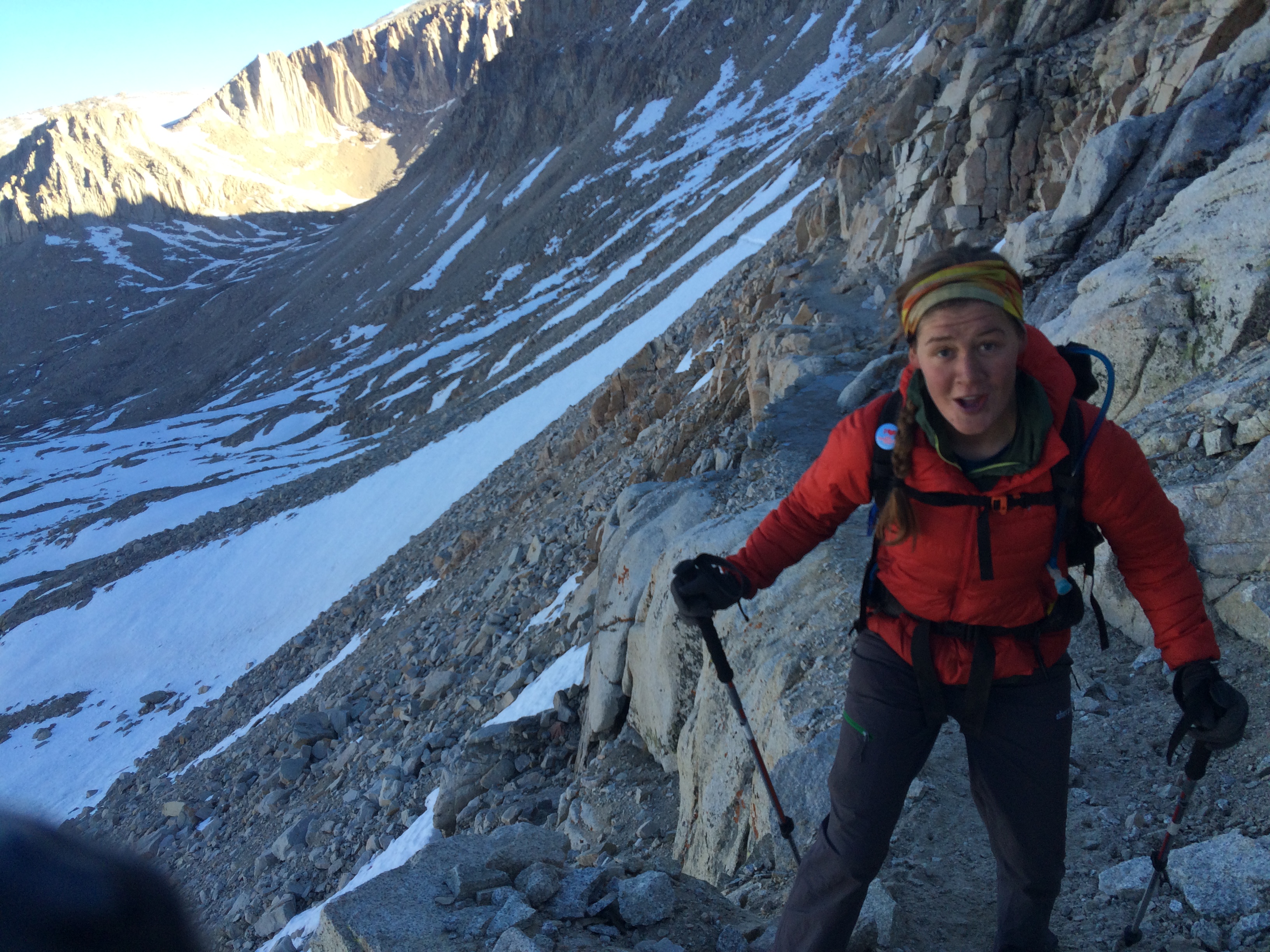
Towards the top of the mountain, we saw Bivvy’s figure along a switchback and he soon overtook us. Looking out at him at nearly 14,000 feet, the atmosphere was thin enough that it looked dark above us:
As we traversed up the final snowfield, I started to realize that I was going to summit Whitney. I had lived with the idea that I couldn’t do a mountain as high as Rainier for years, and now we had made it higher than that, higher than any other mountain in the lower 48 states of America.


At the top, everyone was waiting. I assumed Centerfold and Toe Touch and Bivvy would want to get down immediately so they wouldn’t be post-holing, but they waited for me to summit. As we came over the ridge, they clapped and I got a little emotional – which constricted my throat and made me gasp for a couple minutes hilariously. So much for avoiding an elevation attack.


The climb made me realize that being the weakest link isn’t the worst thing; the worst thing would be giving up because I was afraid of failing. Whitney is a pretty simple hike for a lot of people, I realize. But for me, today was the most important day of the trip. We had walked from the Mexican border to the tallest mountain in the lower 48, and we did it with each other’s support. I don’t imagine that anyone could get here, to the top of America, and have doubts about going the rest of the way.
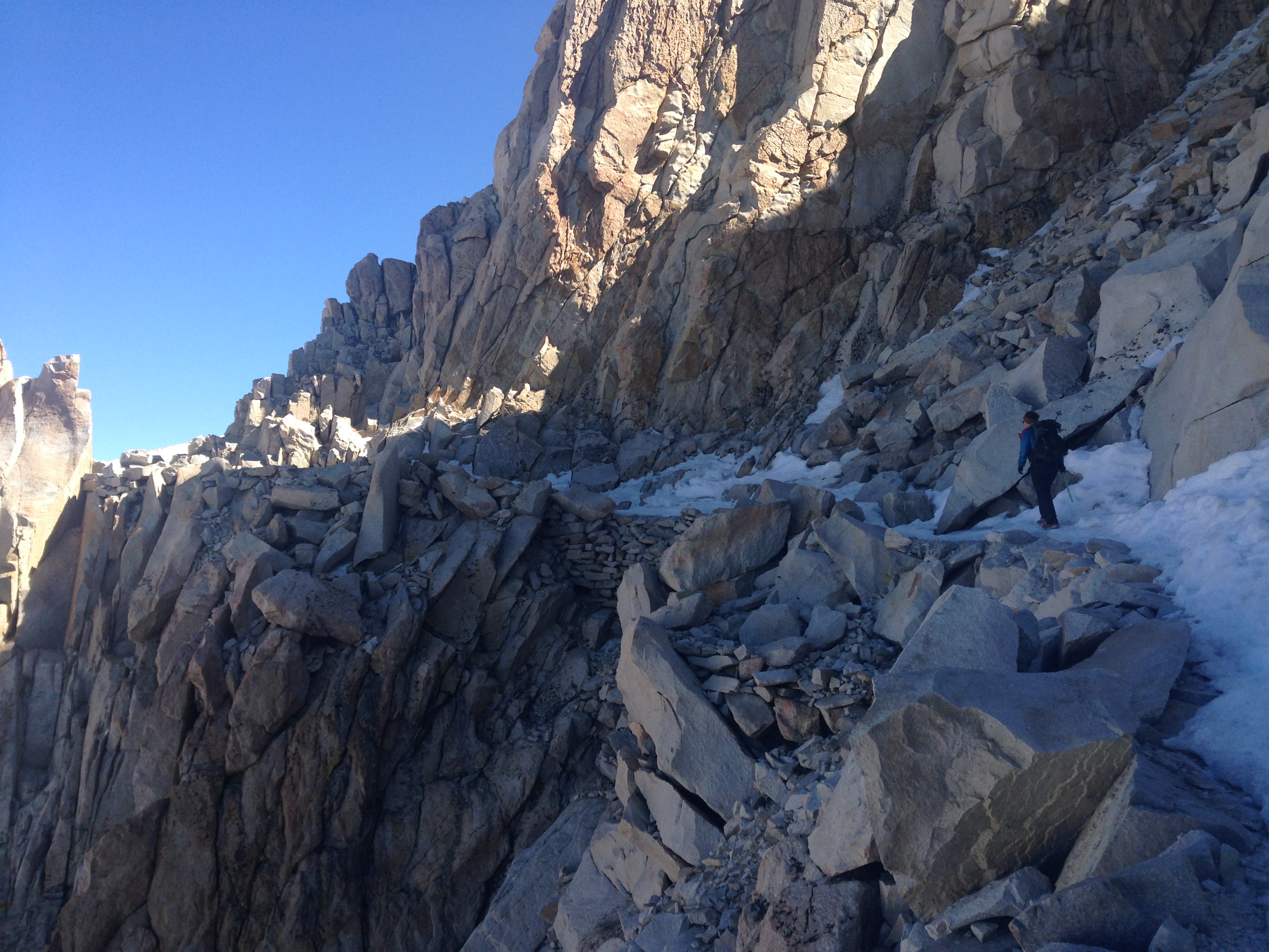
We hiked down, napped and ate at the campground, and then packed up our stuff to go another 3 miles. The next day was going to be a repeat, we knew. Forrester Pass, the tallest of the Sierra passes, was 11 miles from where we camped. We knew that we had to get an early enough start to go over it when it was still hard, because the ice chute at the top was supposedly a little technical. 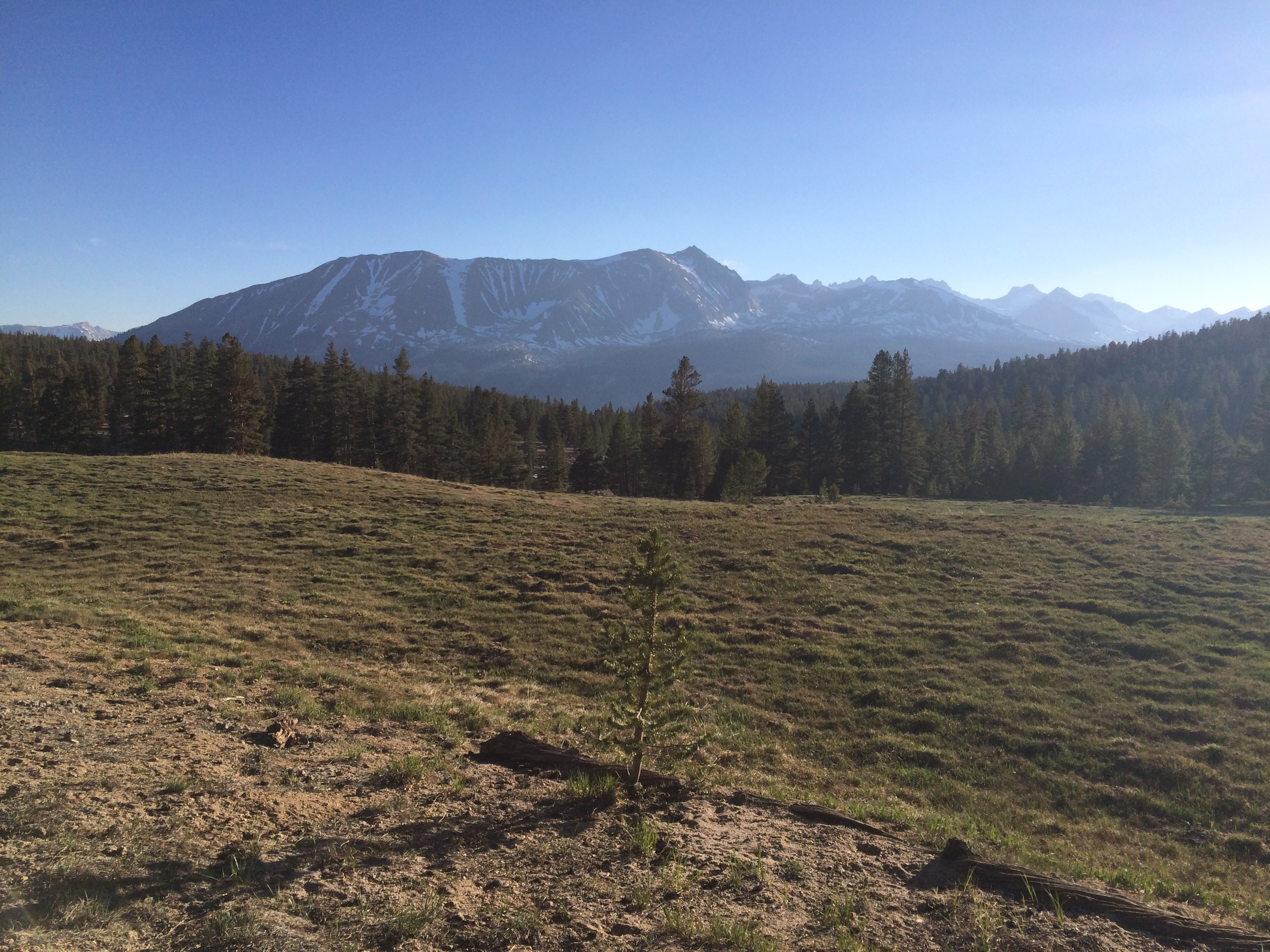
We woke up (which isn’t quite the right phrase, since it implies that we actually went to sleep) around 3:30 and were on the trail by 4:15. The first thing we did was ford across not one but two freezing cold rivers that were roughly crotch deep on me. Fortunately, the mountains waking up around us and the sharpness of the stars went a long way towards me forgiving the Sierra for these early morning fords. But they did slow us down quite a bit, since we took off our shoes, socks, and rain pants for each one. At the top of our first climb of the day we found a meadow and a boulder field with some snow patches still on it. Unfortunately, we also lost the trail and took a good 15 minutes of wandering to find it again.
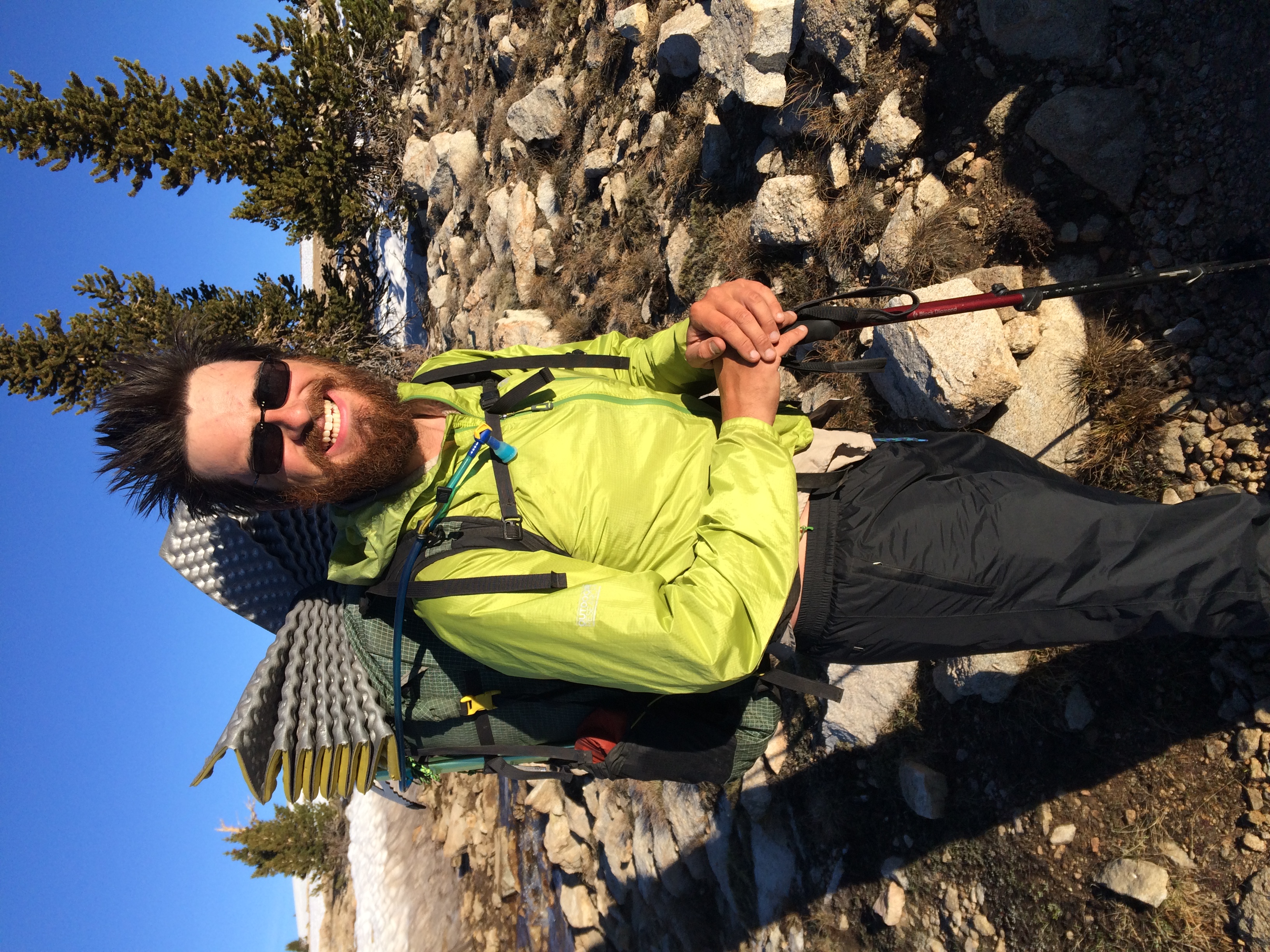
Spoon’s morning hair is incredible.


We descended down again and, gearing up for the big climb up Forrester Pass, were surprised to come across this:
I guess we shouldn’t be surprised by fords anymore, given all the snow melt. After our third ford, we started across the snow field towards Forrester:

Forrester Pass, at 13,200 feet, is not only difficult because of its elevation; on a late snow year like this, the top of the pass includes a bench cut across an ice chute which would provide a long, brutal fall if someone lost their footing. Fortunately, the well-protected chute is in shade until noonish. We started across the field towards Forrester pretty early and we were feeling optimistic about making it over at a reasonable time. But we discovered that the snow field was over a marsh, and we did more postholing than hiking. We stepped in other people’s post holes, sought hard crust, and tested our own footprints out, but mostly we ‘swam’ through the snow from one rock island to another. As we crawled over the field, we watched the sun move higher and higher, creeping towards the ice at the top.
Switchbacks at the bottom were obscured by the snow, but as we sought higher ground the trail was uncovered enough to make better time. Below us we saw Centerfold and, in the far distance, what we thought was Bivvy and Toe Touch. Eventually, we turned a corner and saw the top:


After all that, the ice bench proved to be pretty anti-climatic. It was still hard pack and fairly wide; we had no trouble getting across and we waited for Centerfold to watch him cross. Then we climbed up and saw the head wall:

The head wall, as it turns out, was a lot sketchier than the ice bench. But it still wasn’t bad. It had been in the sun for longer and as we climbed up at the late hour of 11:30 we felt the snow giving slightly under us.
After glissading and sliding along the snow field, we ran into a snowy boulder field much like the one we had to fight our way across. The trail was impossible to find and we spent the next hours floundering in the wet snow. By the time we reached a spot to stop, we were exhausted. We made coffee and ate snacks while we watched the pass, but after an hour there was still no sign of Toe Touch or Bivvy. We gave it another half hour, all sorts of disaster scenarios playing out in our minds, and then we finally moved on.
We hadn’t gone a mile when we ran into a couple we met on the other side of the pass earlier that day. If we were confused to see them, they were very confused to see us. Pretty quickly we realized that the rest of the people behind us had gone right around the boulder field. We were following Centerfold’s GPS, but no one else had a working phone left in the group and they followed a set of footsteps that led them off trail. We caught Bivvy quickly enough but Toe Touch, he said, was probably miles ahead, racing towards where she thought we would be camped.
We realized that we were going to lose Toe Touch. After tonight, where we planned to camp at the trail junction to Kearsarge pass, we were going to hike the 7.5 mile trail down the ridge to Independence to resupply and Toe Touch, always looking for a challenge, planned to hike on all the way to Red’s Meadow. There’s no phone service in the Sierras which means that if she didn’t find us that night, she would assume we had gone on to town without saying goodbye, and hike on alone for a week before she heard otherwise. If she was disappointed at not finding us, she might even decide to put in a few more miles that night and we knew that if she started up Glen Pass, we wouldn’t follow.
With this in our minds, we started running downhill through the scenic King’s Canyon. Deer were literally leaping over our trail and marmots were playing in the streams around us while the sun sunk lower. Even the fords – which we now did with our shoes and pants on since they couldn’t possibly get any wetter – were fun. I ran ahead but when I reached the uphill, I realized Toe Touch was gone. I couldn’t keep up with her pace on the uphill and the grade was steeper than I expected. We slogged up through clouds of alpine mosquitoes and, only after Centerfold and Spoon had passed me and Bivvy had caught me huffing and puffing along, we got to a sandy campsite at the trail junction.
There was no Toe Touch. In one last effort, Spoon ran ahead the .2 to the very last trail junction and there he found an annoyed Toe Touch sitting by her tent. I’ve never been so glad to see her as I was when she came around the bend in flip flops and long johns, carrying her tent to camp with us. We got to say goodbye over dinner while a perfect Sierra Wave lit up the sunset, and then for the first time in days, we got a real night of sleep.
The next day Bivvy went ahead early while Centerfold, Spoon and I walked down the 7.5 mile Kearsarge trail later. The trail was predictably gorgeous (although our cameras are dead) and pretty soon we found ourselves at the trail head. Unfortunately, there were a lot more thru-hikers than day hikers there, and after an hour of waiting around for a ride we started walking the long road to town. We made it 8 miles before someone took pity on us and gave me a ride to the gas station, where I used their phone to call a shuttle for the guys (who by now had walked about 10). It was a long haul, but we finally made it to civilization and now we’re having a hard time leaving. As gorgeous as the Sierra is, snow clouds are gathering, the temperature is dropping, and we know this will be our last chance to get in touch with loved ones for at least another week. Still, we have some of the most beautiful trail in the world ahead of us – so in a few minutes, we’ll be heading back up to elevation where we left our thoughts.


A note on formatting: There is none. After seven hours and three times rewriting this blog, I give up. It’s highly possible I won’t have reliable formatting through the Sierra, where wifi is simply not a renewable resource.

This website contains affiliate links, which means The Trek may receive a percentage of any product or service you purchase using the links in the articles or advertisements. The buyer pays the same price as they would otherwise, and your purchase helps to support The Trek's ongoing goal to serve you quality backpacking advice and information. Thanks for your support!
To learn more, please visit the About This Site page.

Comments 2
Great post about your journey through the sierras. David Odell AT71 PCT72 CDT77
Sorry so far behind in my reading and response but that was some of the best writing I have seen and the pics are great…. great job keep in hiking..