 ">
">
It’s Fine- Everything You Ever Need to Know About the GDT
I’m going to come right out and say it: I’m a bad blogger. I got on trail and just didn’t feel like typing when I was in town. I wish I could say I’m sorry, but enjoyment of my “vacation” was the No. 1 priority and since getting home I have been to busy, you guessed it, hiking. I hope to at some point write about each individual section, but in the meantime I wanted to be sure to write a summary of the experience. With the likelihood of the Great Divide Trail growing in popularity (#wildestthruhike) I think it’s important prospective hikers know what this trail is all about. Spoiler: it’s not your average blazed trail. In fact I think Quill said it best: Suffering with a view.
Wet Socks
One of the absolute, most miserable things you could ever be forced to do in your life? Put on cold, wet socks every. single. morning. The weather was absolutely one of the most dangerous things we faced in Canada this year. While there were only a few thunderstorms (a big difference from Colorado!), it was the wettest summer in at least 40 years in the Canadian Rockies. This meant there were constant puddles, soul sucking mud, fast flowing rivers, and even snow on the high passes (I’m looking at you Pallisor and Wonder pass…). The weather was so bad at times that it severally impacted our miles and our attitudes. Perhaps there are those out there saying “no big deal,” but 4 days of rain and snow with NO sunshine meant there was absolutely no way to keep things from getting at least a bit damp. I don’t think I have ever been as miserable as I was getting up in the morning at the Birdwood campground in Banff. I was not warm in my bag and cold getting up. Putting on my wet clothes to ensure I would have something dry-ish to sleep in was crushing. The only solace: the best way to warm up was to start walking.
July 18th. We got SNOWED on on JULY 18th!!!!!

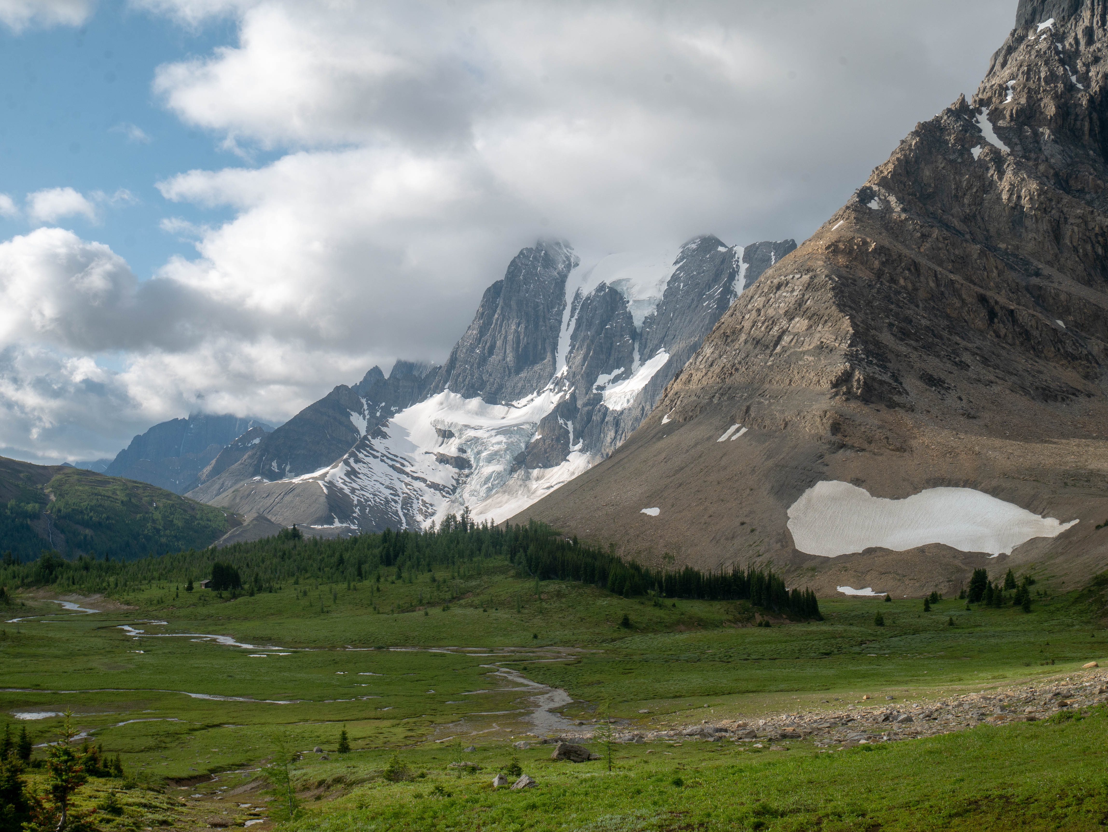
Our view at Lake Magog, missing out on the Matterhorn of the Rockies thanks to the snow clouds.
While this year was especially miserable, from what I have heard it is normal for it to be wetter in Canada than it’s American counterparts. Rain pants are absolutely an essential piece of gear, they function to keep you dry while going through car washes (such as the vegetation on Pallisor Pass) as well as protect tender legs from greedy willows and intense bushwhacking. You might think you are tough, but are you Howse Pass tough?
The other downside of rain and snow: mud. Jasper National Park was especially frustrating as many of the mud holes we wallowed through should have been nice trail if Parks Canada had bothered to maintain it. It wasn’t just Jasper though, we saw our fair share of mud in Banff and Assiniboine as well. Being the good LNT stewards that we are we trucked right through it, throwing glares at all the overnighters with clean tights. Gotta love looking like you shat all down the inside seams of your rain pants.

Fortunately for Quill and me, the days when the rivers were raging the strongest due to rain were the few days we were in areas that had bridges, such as on the Rock Wall trail in Banff. However, I saw videos from others who had bridges completely covered in water due to the rain.

One of the easier fords on the trail.

We were grateful for all of the bridges on the Rockwall trail.
You Know Nothing, John Snow
One of the neatest things about thru-hiking the GDT this year in particular was the insane amount of hiker celebrities on the trail. Being a newb and naive, I didn’t find out until after the fact or after we started talking just how accomplished these hikers were. In Waterton National Park we met both Dirtmonger and Pepper Flake. Needless to say, we never saw them again after that as they were way faster than us. We also met Brazil Nut in Coleman, then again at the Dutch Creek campsite and had a hike changing chat about “focus” at the top of Tornado Saddle. Later on we met All Good (who was doing a company outing with Six Moons Designs on the Rock Wall). I’ll always be thankful to him for letting us hide from the rain under his cook tarp since we were feeling like drowned rats by that point.
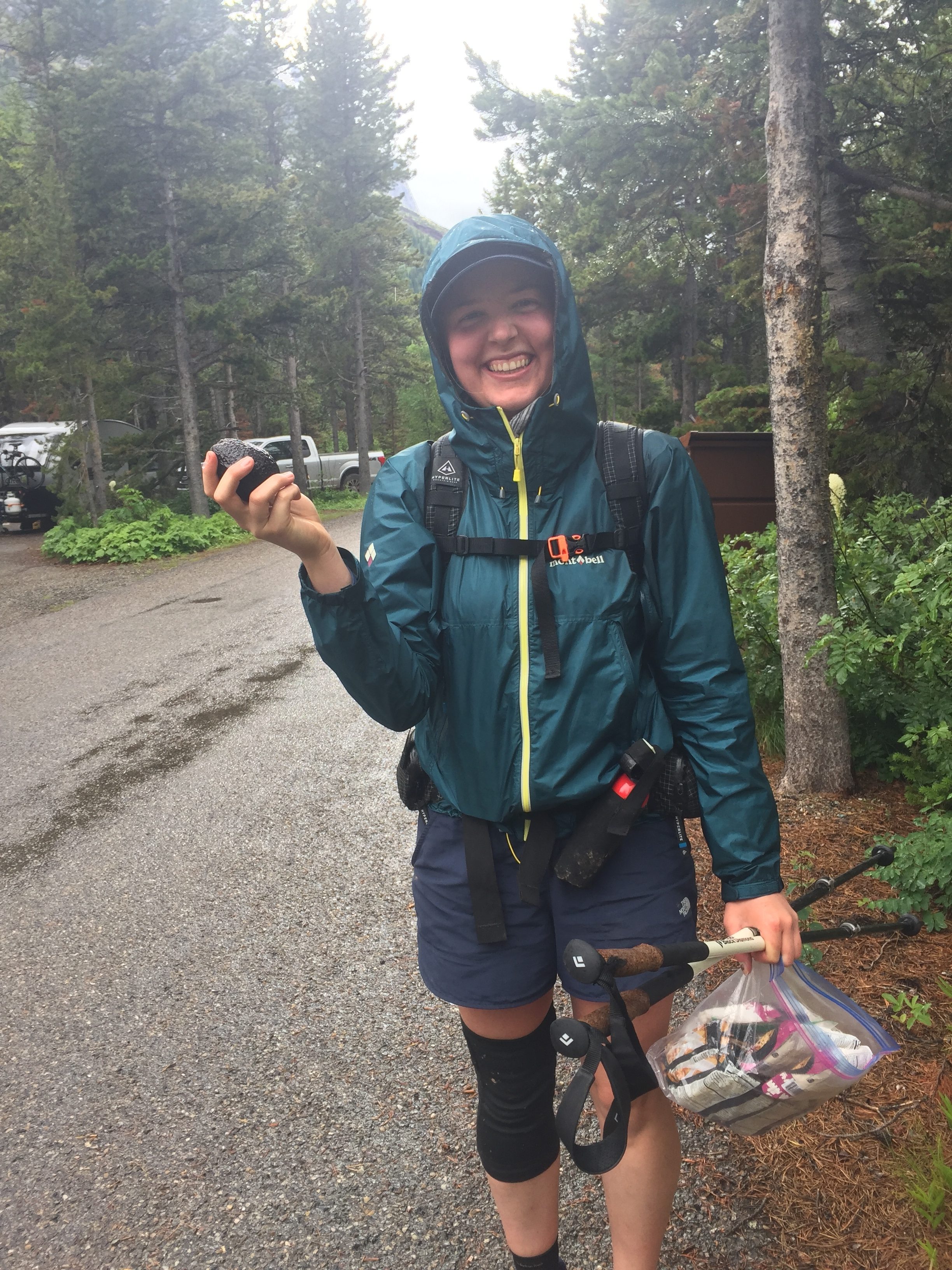
I definitely want to give a shout out to Gasket and Highrobics. We first met them in Many Glacier when they granted Quill’s wish for an Avocado on 4th of July. We seemed to keep bumping into them and had lots of interesting conversations. Like all of the other crazy accomplished hikers, they were both incredibly humble and down to earth. It was super inspiring to hear about all the other long trails they have hiked including the Grand Enchantment Trail and Oregon Desert Trail.
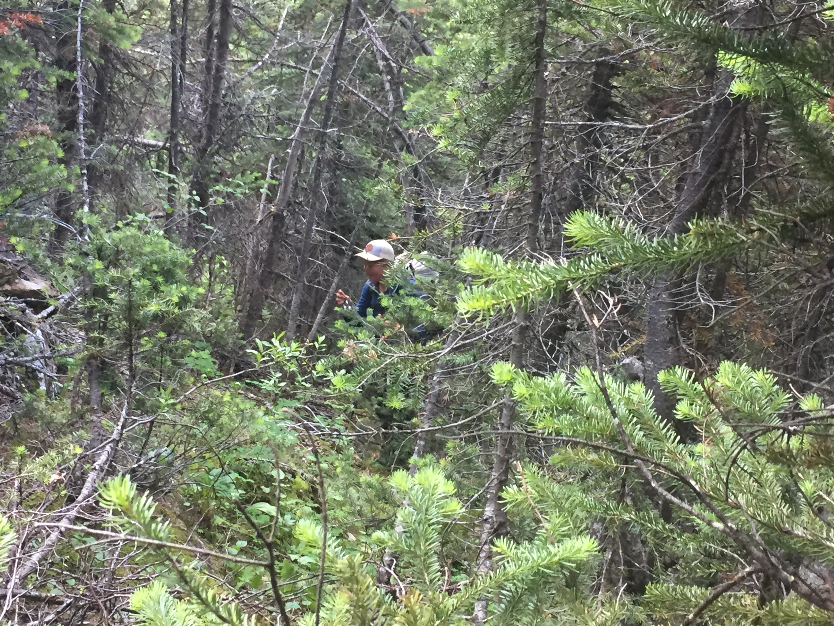
We also met Shroomer, Coyote, Backtrack, and Boat first at Assiniboine, then again in Jasper as well as Dan and Elaine (Thunder and Snow). Fortunately, we weren’t the only ones with minimal long trail experience. There were quite a few people from Europe on trail this year such as Torga, Marco, and Antoine. While none of them had done any other long trails all were skilled backpackers in their own right. The same goes for Owen and Xena who were from Edmonton.
The point of this is that while it is perfectly feasible to successfully thru the GDT with little long trail experience, this is absolutely NOT a trail for beginners. Even Quill and I, who have only hiked the CT prior to the GDT, both have significant experience in the outdoors. We both have worked manual labor (animal care) jobs that require being outside no matter what the weather. I have bagged 20 14ers and done many solo hikes in the Colorado Rockies. Quill has done plenty of backpacking and rock climbing in Oregon and California as well as a week long section on the AZT.
Brazil Nut and Highrobics both stated that this was the hardest hike they have ever been on. This trail is beautiful and amazing, but it will also punish you.
Trail Angels
You would expect that with how few people hike this trail that you would not receive trail magic, but I actually had better (and more organic) trail magic on this trail than on the CT. I already mentioned Quill’s avocado wish, but I think our Banff experience wins the day. While sitting in the shelter at Lake Magog being cold, wet, and miserable some locals that we met at Tea Time took pity on us. They put us in contact with a previous GDT thru-hiker who lives in Banff. This hiker put us up for 2 days, saving us boat loads on hostel fees (if any were even available) and when she found out that my rain coat had wetted out she gave me her Outdoor Research Gortex coat! This was completely unasked for and so appreciated, especially in Section D.
We also met awesome B&B/ Hostel owners in Coleman, AB and Golden, BC. Elaine at the Safe Haven B&B drove us to the store twice and fed us 4 square meals. Tanya at the Kicking Horse Hostel was an absolute hoot to talk to, gives a hiker discount, and even took a resupply box to The Crossing for us.
Hitching was also a success. We only had a couple of hitches on trail, but they were all fast and the people were nice. We even managed to hitch all the way from Jasper to Edmonton in two rides.
No Time for Switchbacks
One wise hiker hit the nail on the head when he said, “We don’t have time for switchbacks. Summer is only three months long in Canada.”
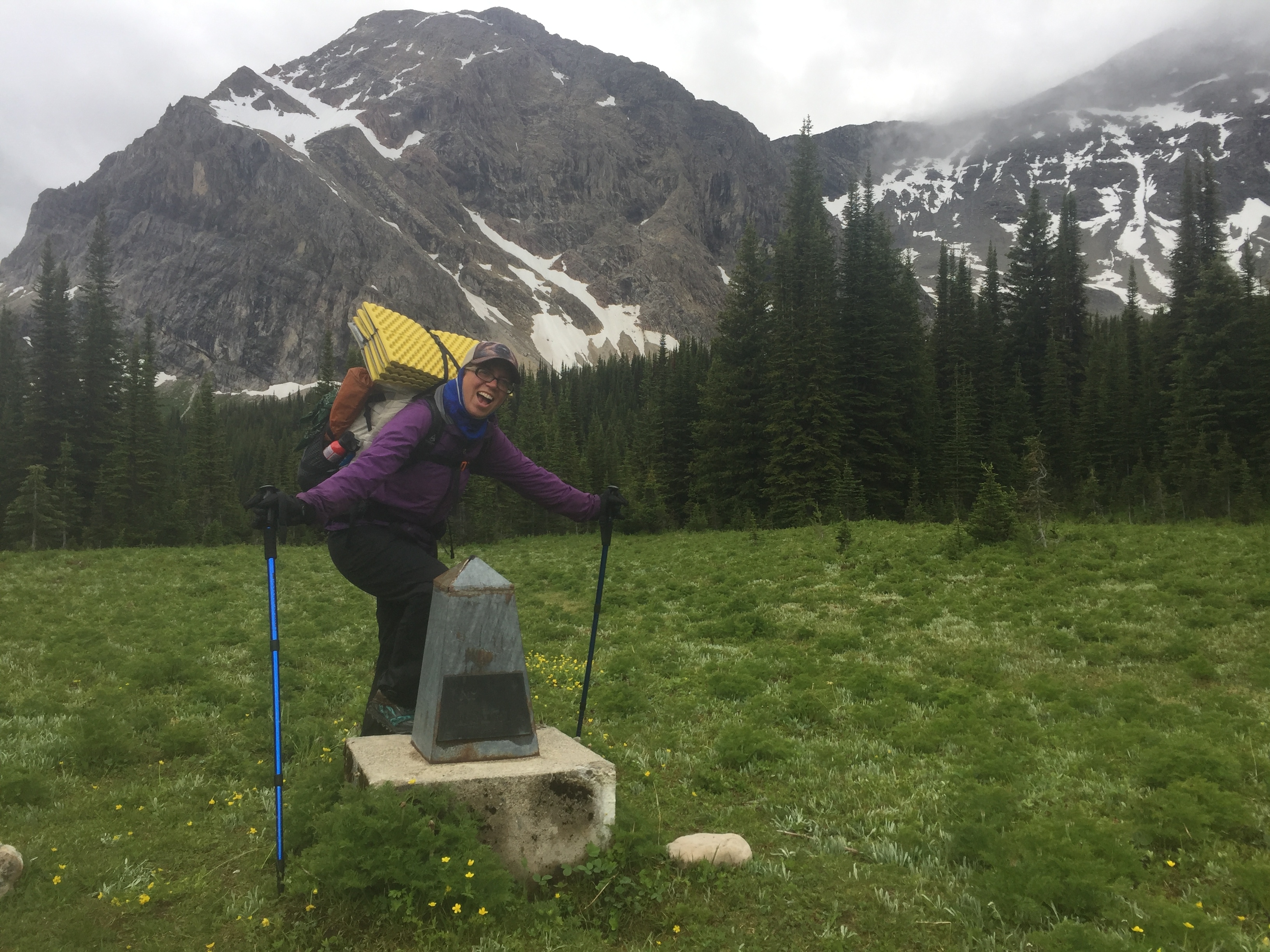
While not as route-y as the GET or ODT, the GDT is not a walk in the park either. Right off the bat you are released into the wild when you leave Waterton NP at Sage Pass. Due to fires, the trail is spotty leaving the pass. The good news is that it is ridge walking and so pretty intuitive to navigate. The Guthooks app was also a help whenever we wanted to double check. Most NOBO hikers will hit La Coullette Ridge on day 2 (it was later than that for us since we started in Glacier). I would like to say that it has never taken me as long as it did that day to hike 4 miles, but the Kiwentinok Alternate stole that title. Anyways, it required cross country up to the ridge, then following the ridge over 5 points. You are literally walking on the Divide and the border between BC and Alberta the whole way. The hike is a lung buster and leg burner. The worst part is the lack of water and steep walk down a rocky jeep road at the end. In the words of River Taig (Guthook):
“The trail which ascends the next peak is clearly visible from the saddle, but appears to be so steep you may think that only mountain goats would dare attempt the ascent. The trail is surprisingly well defined but is just what it looks like- a real lung buster ascent.”

And at the end of La Coullette Ridge for NOBOers:
“Southbound hikers, prepare to be punished.”
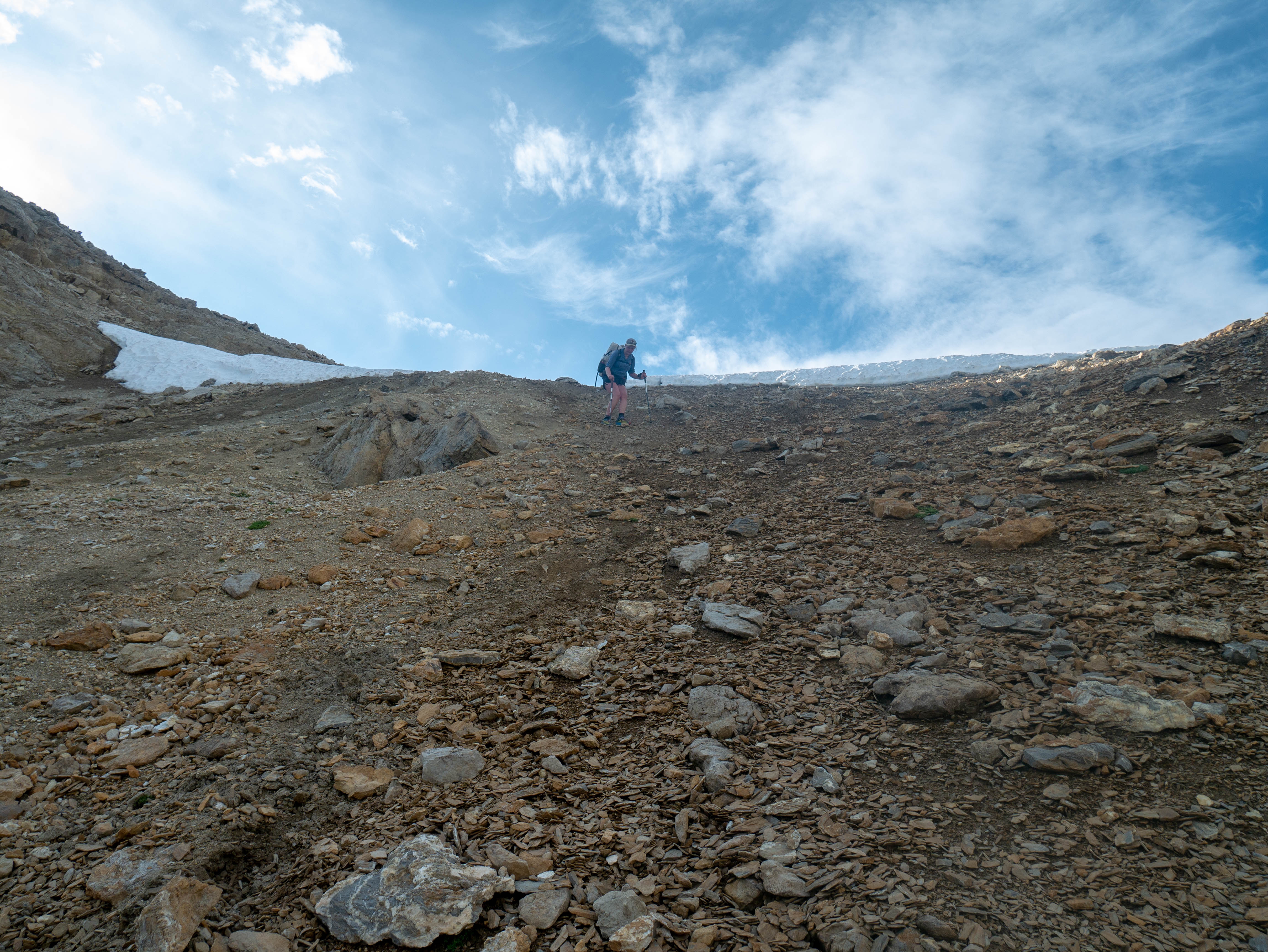
While section A is quite tame afterward (primarily easy road walking), Section B continues the trend. Several hikers related it to the AT, but with better views. Lots of ATV roads and a few sections of trails going straight up, then straight down hills. Tornado saddle comes to mind here. Watching Brazil Nut making switchbacks on an uber faint use trail up the steep scree slope was rather intimidating at that point in the hike. By the end, though, we looked at trail-less saddles and said “I bet we just go straight up.” I recently bought a water bottle because it said “enjoy the switchbacks” on it, which resonated with me. Although it was fortunate that the trail improved in this regard over time, it found other ways to punish hikers.
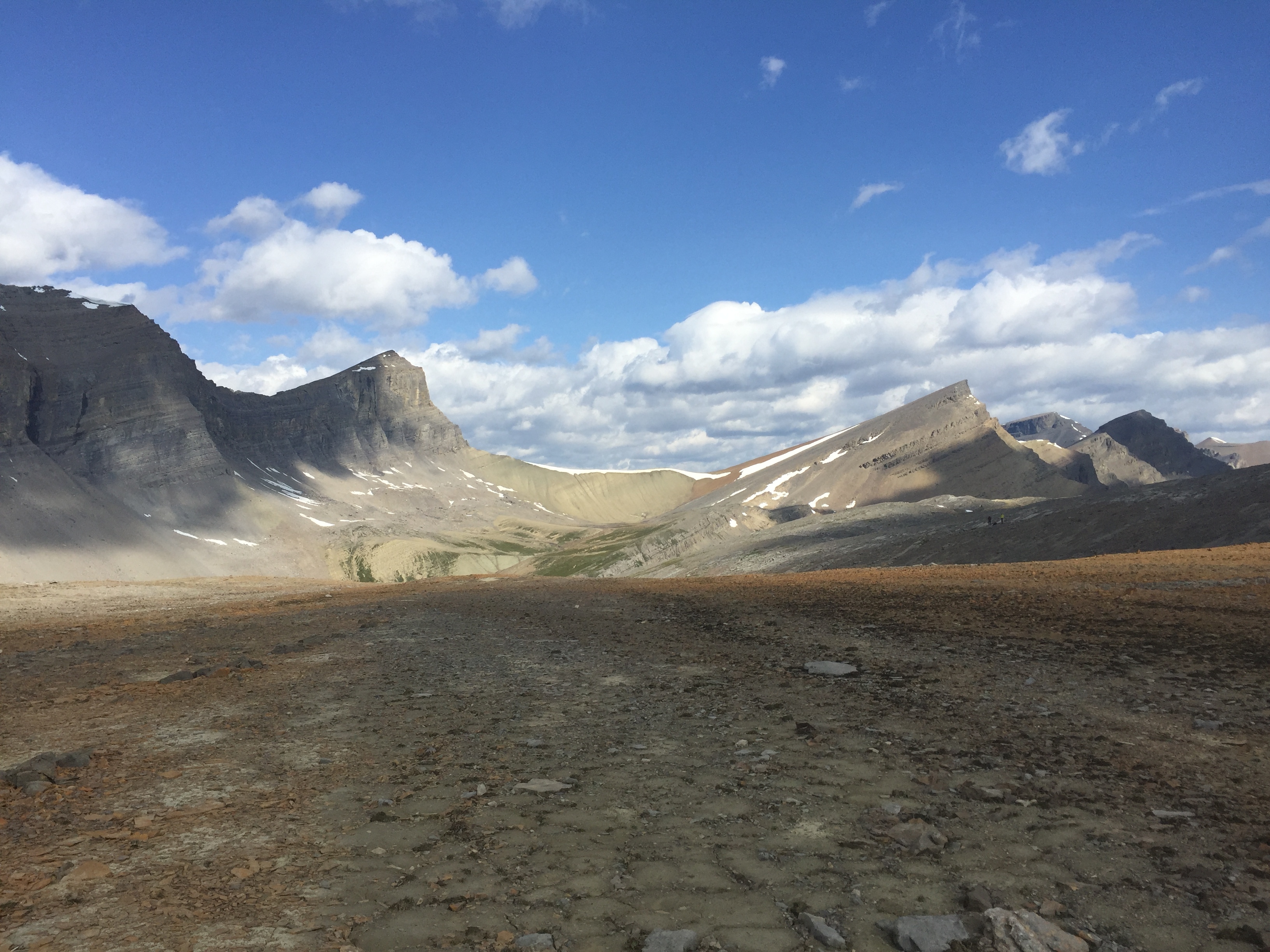
Off trail hiking to the high point of the GDT, which is seen across the way.
GDT*
As stated above, there were many times the GDT realllllly stretched the term “trail.” Section D took everything any hiker could ever complain about and blew it away. To start with, Quill and I decided to do the Kiwentinok Alternate through Yoho National Park. The first 15 miles on the Iceline trail were wonderful: beautiful trail, glaciers EVERYWHERE, 360 degree views. We went slower than we normally would have on such magnificent highway trail because we took so many pictures. Once we turned off at little Yoho, the trail became less used, but still easy to follow up to Kiwentinok Pass. This section was one of my absolute favorites on the trail, the evening light and rock formations were incredible.


The Iceline trail in Yoho.

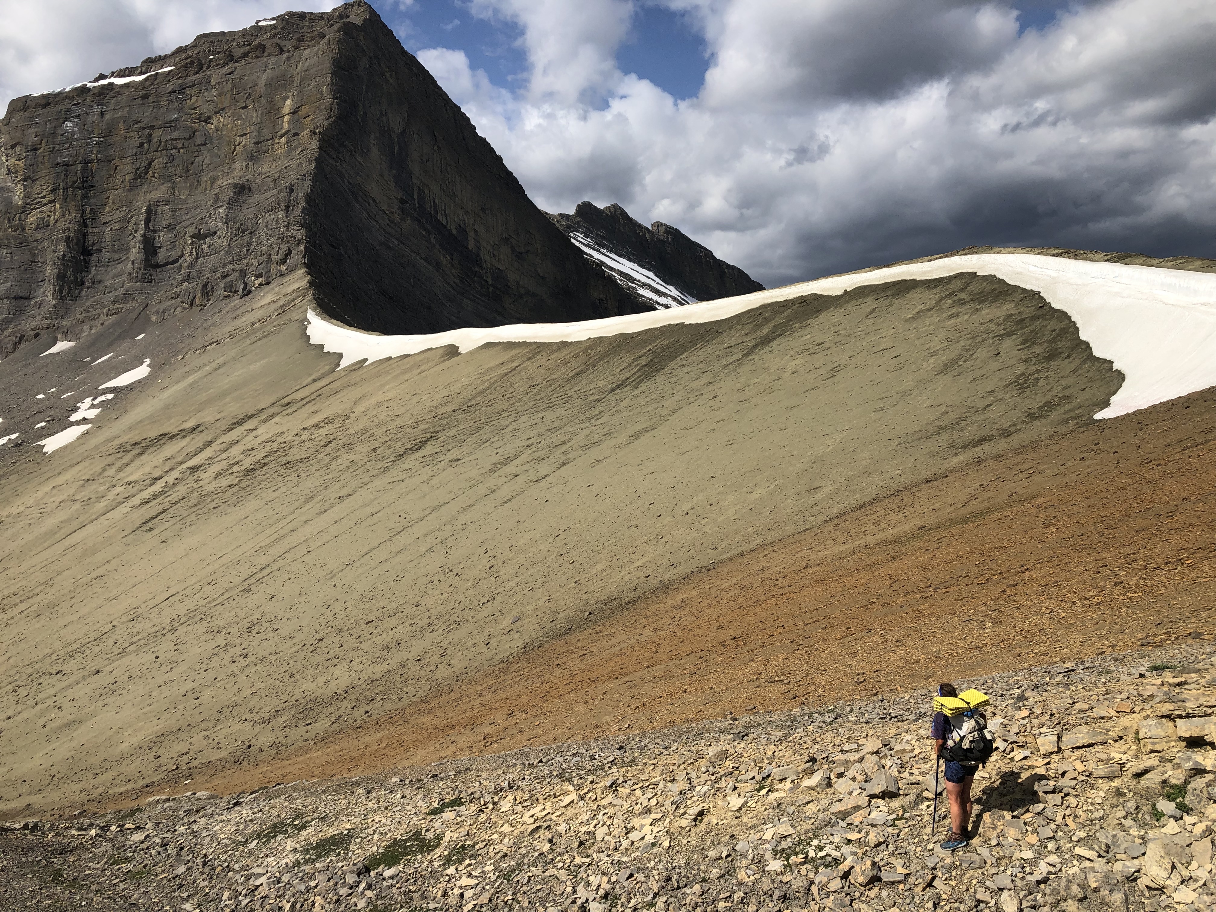
Then we got to the top of the pass and looked down. We knew there would be some bushwhacking, but we didn’t realize that we would need to climb another pass too. It was starting to get late, so we went cross country down the scree slope to tree line to make camp for the night. The rock hopping was fun, but we did have to be careful not to cliff out or break an ankle. The day went so well that I was nervous we would have animal visitors or a rock fall on us in the middle of the night. Little did I know what we had in store the next day.
Quill navigating down the rocky slope leaving Kiwentinoc Pass.

We camped at the first grassy clearing as it was about 10 p.m. at this point.
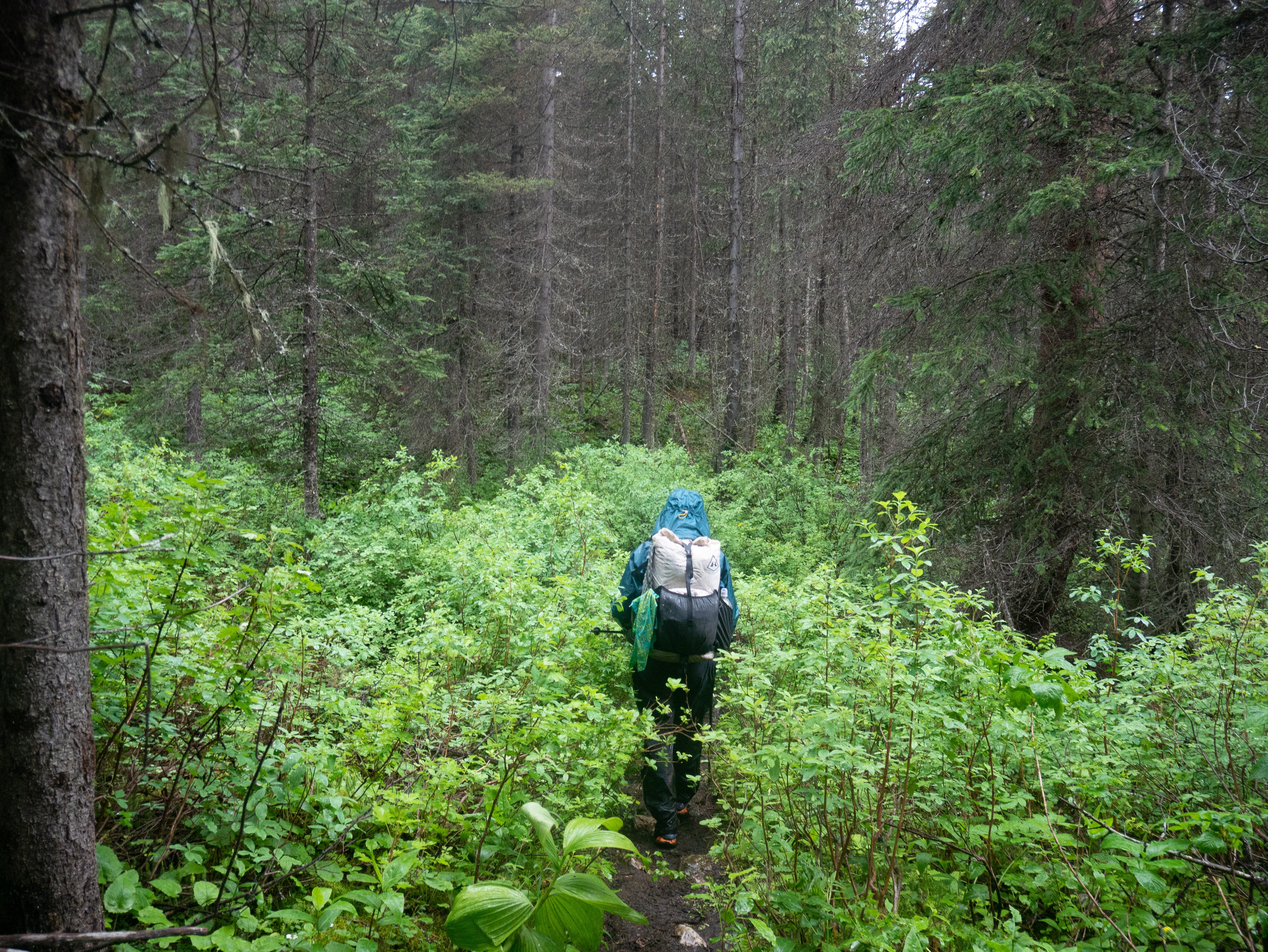
We got up and were hiking by 6:30 a.m. and started by hiking down the creek before moving into the trees. At this point we were both very happy to have our rain coats and rain pants because we spent a long time fighting the trees to get up to the next pass, which we decided to name bushwhack pass. It was slow going and hard work. We eventually made it to tree line where we had some relief before dropping around a cornice and down another stupid steep scree slope. At this point it was easy to look forward to making it back to treeline, before remembering that tree line meant more cross country bushwhacking. This fore thought held true. We spent several more hours fighting brush, slipping in the creek, crawling over blowdowns, and post holing in moss. We didn’t stop because the only way out was to keep heading down hill. At one point a tree branch grabbed one of my earrings and flung it into the woods to never be seen again. At about 1:30 pm we reemerged onto the “trail.” It took us 7 hours to go about 4 or 5 miles. When the trail joined a logging road that evening, we about cried with joy.
Quill is in there somewhere…

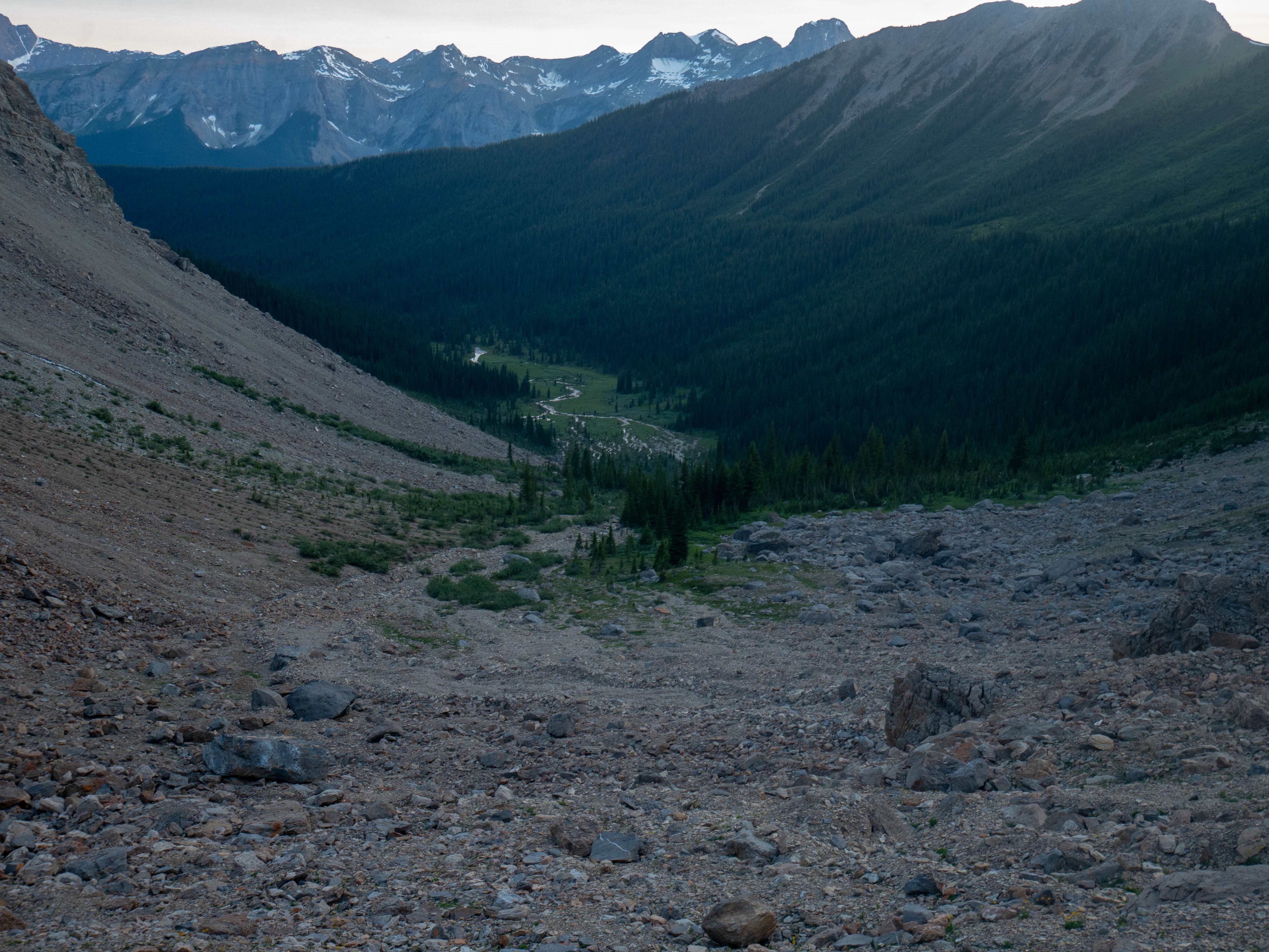
The GDT is in that valley way down there…
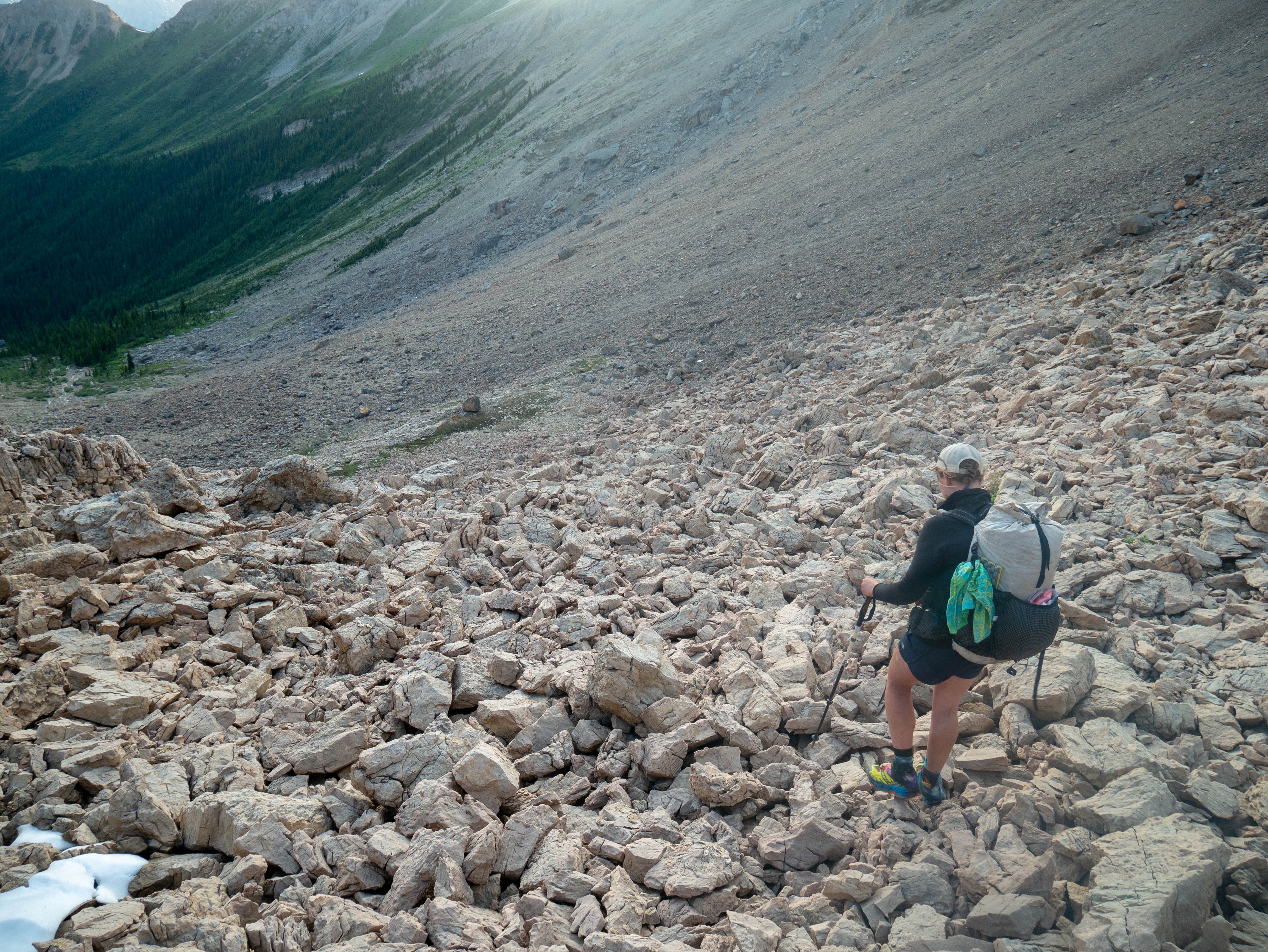
ANOTHER steep scree slope. We became scree slope pros by the time we reached Jasper.


I wish I had a picture of one of us post holing in the moss… This was a moment were the brush was less intense and we could actually breathe and navigate.

This faint “trail” was an improvement
Bow Down! Kneel Before the GDT!
But wait! There’s more! The next day we hiked on the decommissioned David Thompson heritage trail. While nice walking at first, it eventually turned into a bushwhack with willows taller than our heads. The only solace was that there was at least a trail, even if overgrown. It truly made us wonder how David Thompson and later Howse could manage to get anywhere when they initially explored the area for the Hudson Bay Company.
On the other side of Howse pass we were relieved to see we had cross country hiking that was *mostly* open. We did have to ford the Howse river at least 7 times (luckily it never got above hip height for me) and there were a few times were we had to take to the trees to get around cliff bands. At this point we counted probably 200 blowdowns and were thankful that the trail was rerouted to the flood plain. In previous years hikers did that whole section in the trees and counted well over 300-400 blowdowns. The most GDT thing that happened was when Quill took a nice video of a rainbow and at the very end a branch came out of nowhere and whacked the phone. Whenever you think things are going great on the GDT a big blowdown or bushwhack comes out of nowhere to beat you into submission.

There’s a trail in there somewhere…


I was pretty done with hiking by the time we made it out of section D. I think I scared some tourists.
50k Every Day
No matter what you might think, people can’t multitask. While at The Crossing Resort we made a terrible mistake and tried to organize our resupply while talking to Xena, Owen, and Brainstorm. At the time it seemed perfectly reasonable that we could hike 120 miles in 4 days. We thinned out the entrees and started walking down the road. That night, while camped along Owen Creek, it started to sink in. It really hit us the next day when we realized we would have to walk almost 30 miles everyday to make it to Jasper before running out of food. Even worse, I ran out of fuel and had packed lots of pasta…
The good news: We made it! The not so good news: we battled off trail hiking over the high point, mucky trails, and the maligne trail to get there. I think one of the saddest moment on the whole trail was when I tried to cold soak Orzo and ended up with a ball of dough that I had to force feed myself because I didn’t have enough food. Sadly we didn’t get to do the 6 pass alternate because we didn’t have enough calories to attempt it (we were light even for 4 days).
Fortunately, we ended on the Skyline trail which allowed us to sail into Jasper.
Wrong Side of the Train Tracks
For this particular trail there are two places where you really should send a box: Peter Lougheed Provincial Park Visitor Center and The Saskatchewan Crossing Resort. It is a ridiculous hitch from either of these places to get to a real store and the resupply from each would be crazy expensive and limited. Waterton was fine, but expensive. Coleman/Blairmore, Banff, Golden, and Jasper were all great resupplies. Note that Field doesn’t have a grocery store so you will either need to send everything (we sent our shoes here) or make the direct, but 45 minute hitch into Golden.
Two places that were a bit tricky to stay were Banff and Jasper. As mentioned above, we stayed with a trail angel, but others had a much harder time. Many hikers sent a box to the Sunshine Village Ski Resort and skipped Banff all together. Since we were from out of the country, we wanted to see the town and I am glad we did. It was fun to be tourists for a day. Jasper was also a madhouse. With the big campground being closed almost all the accommodations were booked. Due to time constraints and Quills tender calf muscle, we decided to end at Jasper and ended up staying 3 nights. The first night we camped for free by the train tracks. The second night we were able to snatch a hostel bed each. The third night we found a B&B. Lots of hikers were funneling into town at the same time, so we were all in the same boat and worked together. We had a great time hanging out with what felt like a large percent of the hikers on trail this year!
Character Building
Plain and simple, the GDT changed me. I’m not the same hiker that I was when I left. Since coming home I have spent time coming up with my own backpacking routes and hiking off trail in the San Juans. Unlike last year I haven’t had any post hike depression. I’m not sure if this is because I moved to the best part of Colorado (Durango!) or if the GDT was just so brutal that it’s a relief to be home. Maybe it’s a combination of both.
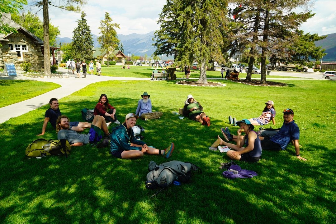
The trail community was amazing! I feel lucky to have met so much rad hiker trash. While we didn’t see very many hikers or people in general on trail (there were days we were lucky to see 1 other person), we did get to have a lot of fun in towns.
We did meet one hiker that was the talk of the trail. This particular hiker had no backpacking experience and refused to take advice from others, leading to several dangerous situations such as falling into a glacial river. DON’T LET THIS BE YOU! Please do your research and be prepared if you chose to hike the GDT. The Canadian Rockies are a whole different animal. I have never hiked in such rugged, wild country.
We saw one Grizzly, but the encounter was a positive one. Overall the cold, wet weather, steep scree slopes, and river fords were a bigger concern.
There was a LOT of type 2 fun, but I am so glad I had the opportunity to hike the GDT before it gets popular. I definitely plan to hike other routes in the future. If you have any questions about this hike, please reach out! I would love to answer them 🙂
Happy trails!


Shout-out to Quill for putting up with me for over a month!

This website contains affiliate links, which means The Trek may receive a percentage of any product or service you purchase using the links in the articles or advertisements. The buyer pays the same price as they would otherwise, and your purchase helps to support The Trek's ongoing goal to serve you quality backpacking advice and information. Thanks for your support!
To learn more, please visit the About This Site page.

Comments 2
Awesome vacation locations. Love them. Thanks for posting them.
Thanks
My Coles