 ">
">
Great Southeastern Loop: Shining Rock Section

The Art Loeb Trail. Wow. What do I say.
I feel like the Art Loeb Trail was built entirely as a challenge trail. It’s not comfortable. It’s got long dry stretches for this region. The climbs are brutally steep. The downs are just as tough. But, the reward is strong.
I headed up from Brevard, North Carolina, along the Davidson River and made a very important detour to John Rock. Epic Views from here, and more importantly, a view of the Ridge I would be hiking up to the Blue Ridge Parkway that day.

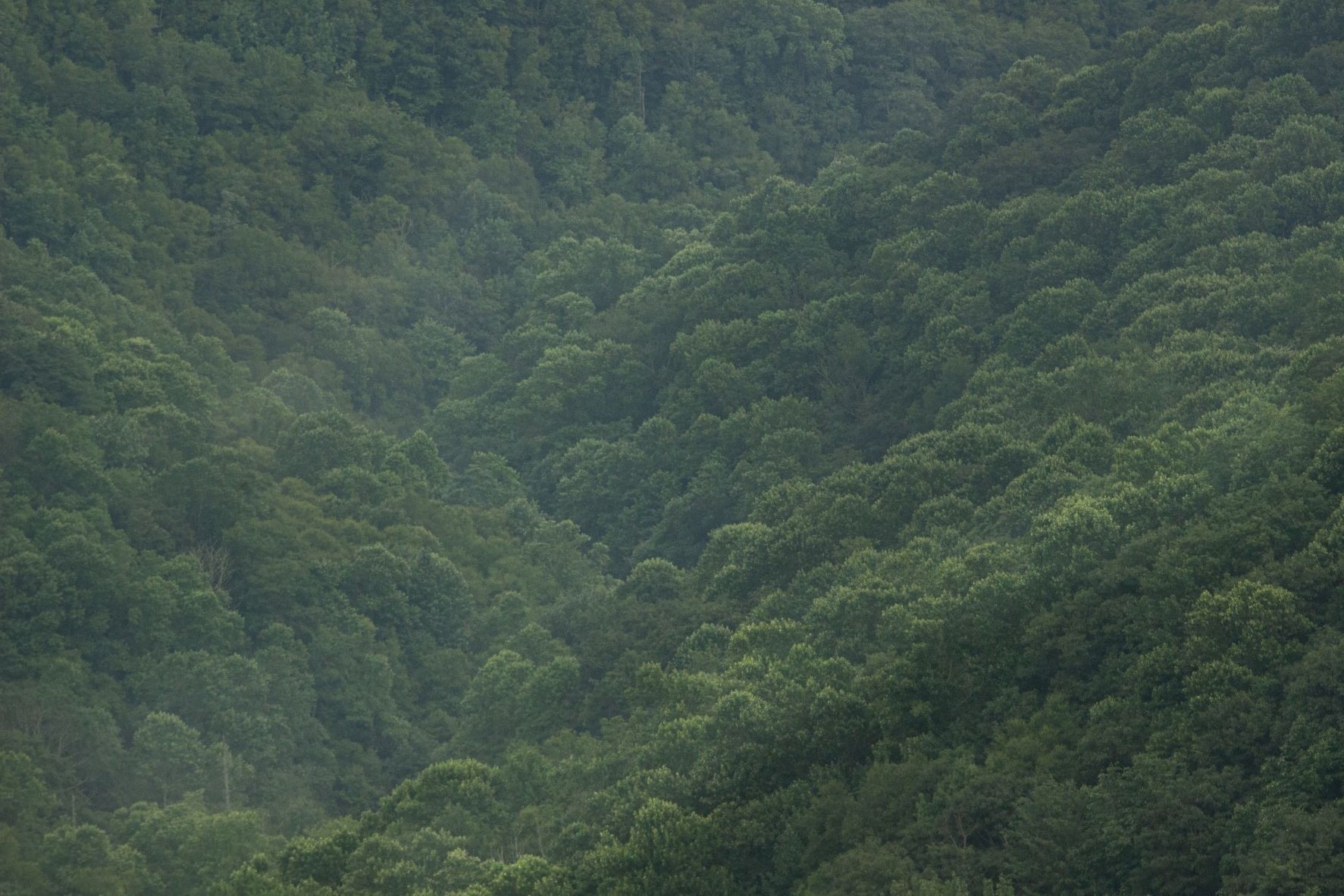
The views from John Rock out to the Blue Ridge Parkway and Looking Glass Rock are one of a kind.

From John Rock I connected back to the Art Loeb Trail and took the steeps and the downs up and over Chestnut Mountain and Pilot Mountain. The views up to the Parkway from Pilot Mtn were spectacular, and the view up to Silvermine Bald was ominous. The climb to Pilot Mtn was 1,700 feet over 1.9 miles, and as I enjoyed the view, I knew I had to do it all over again.
The drop down to the Deep Gap Shelter is the last water source for the next 6 miles, and it includes 1,750 feet over the next 1.5 miles up to, and above, the Blue Ridge Parkway, into the Shining Rock Wilderness. This is where the fun really begins.

The Shining Rock Wilderness is a playground and one of the best parts of the Blue Ridge Parkway and Pisgah National Forest.
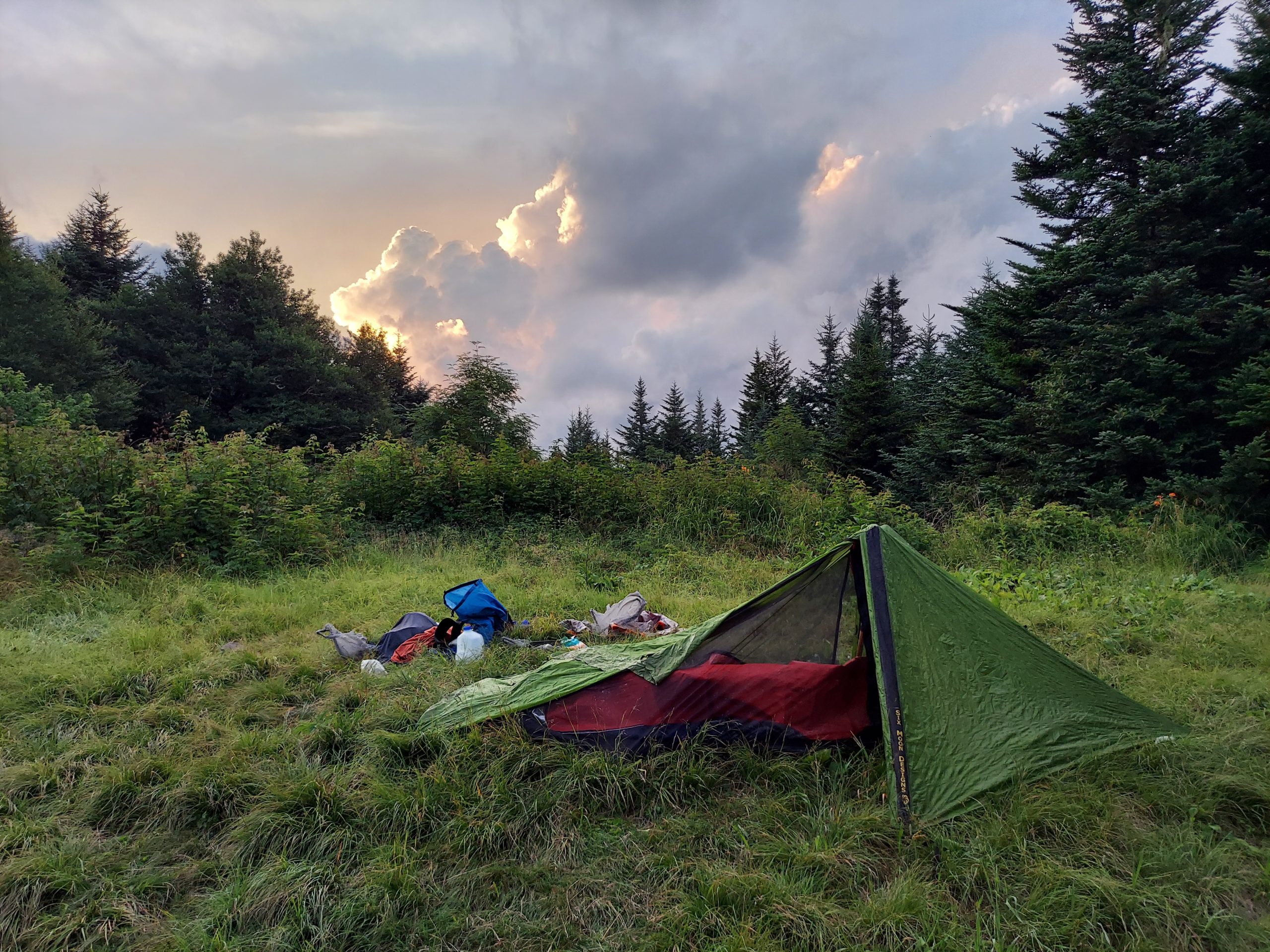
I hopped off the Art Loeb and onto the Mountains to Sea Trail and camped in one of the Alpine meadows the area is famous for.
Enjoy the views here and take those little social trails that lead to the rock outcroppings for the spectacular views. I made sure to hit Devils Courthouse and Sam Knob before connecting back onto the Art Loeb Trail at Black Balsam Knob.

Run the roller coaster up and over Black Balsam Knob, Tennent Mountain, Grassy Cove Top and into Shining Rock, the namesake of the Wilderness.

If you’re feeling adventurous, take the Ridge out to Cold Mountain for spectacular views out to Mt Pisgah, the “Peak of the Parkway”.
I went out to Cold Mtn and it’s an energy drainer. It’s a tough climb up and down both ways from Shinning Rock. The view from Cold Mtn is unique, and it’s such an isolated peak in the region, that it’s a badge of honor to have climbed it. I headed out in the early morning darkness to catch the sunrise over Mt. Pisgah.

From Cold Mtn I hiked up to Shining Rock and then down the ridge over Dog Loser Knob, down into the valley. This trail was EXTREMELY STEEP and got into some small Class 3 sections. Down at the bottom, I followed the heavily storm damaged Big East Fork up to the Blue Ridge Parkway. This trail was heavily damaged with landslides from the tropical storm that went directly over the area in the past year or two. At one point, I had to climb about 20 vertical feet up a trees root system to get back on trail around a landslide section. There were many stretches like that. I wouldn’t recommend it. Take the “GRT” trail from the Gap between Tennent and Grassy Tops down to Graveyard Fields instead.
After some sketchy miles up the river, I made it up to the MST and camped along the Blue Ridge Parkway near Skinny Dip Falls.
From there, it was fun to follow the Parkway along the MST. I’ve driven the Parkway dozens of times, so I wasn’t sure if it would get boring hiking along it on the Mountains to Sea Trail, but there are some unique views you don’t get from the Parkway. At times, you’re hundreds of feet above the Parkway and can hear the cars below. That made it fun!

This website contains affiliate links, which means The Trek may receive a percentage of any product or service you purchase using the links in the articles or advertisements. The buyer pays the same price as they would otherwise, and your purchase helps to support The Trek's ongoing goal to serve you quality backpacking advice and information. Thanks for your support!
To learn more, please visit the About This Site page.
