
 ">
The Loowit Trail: A 30-Mile Backpacking Loop Around Mount St. Helens
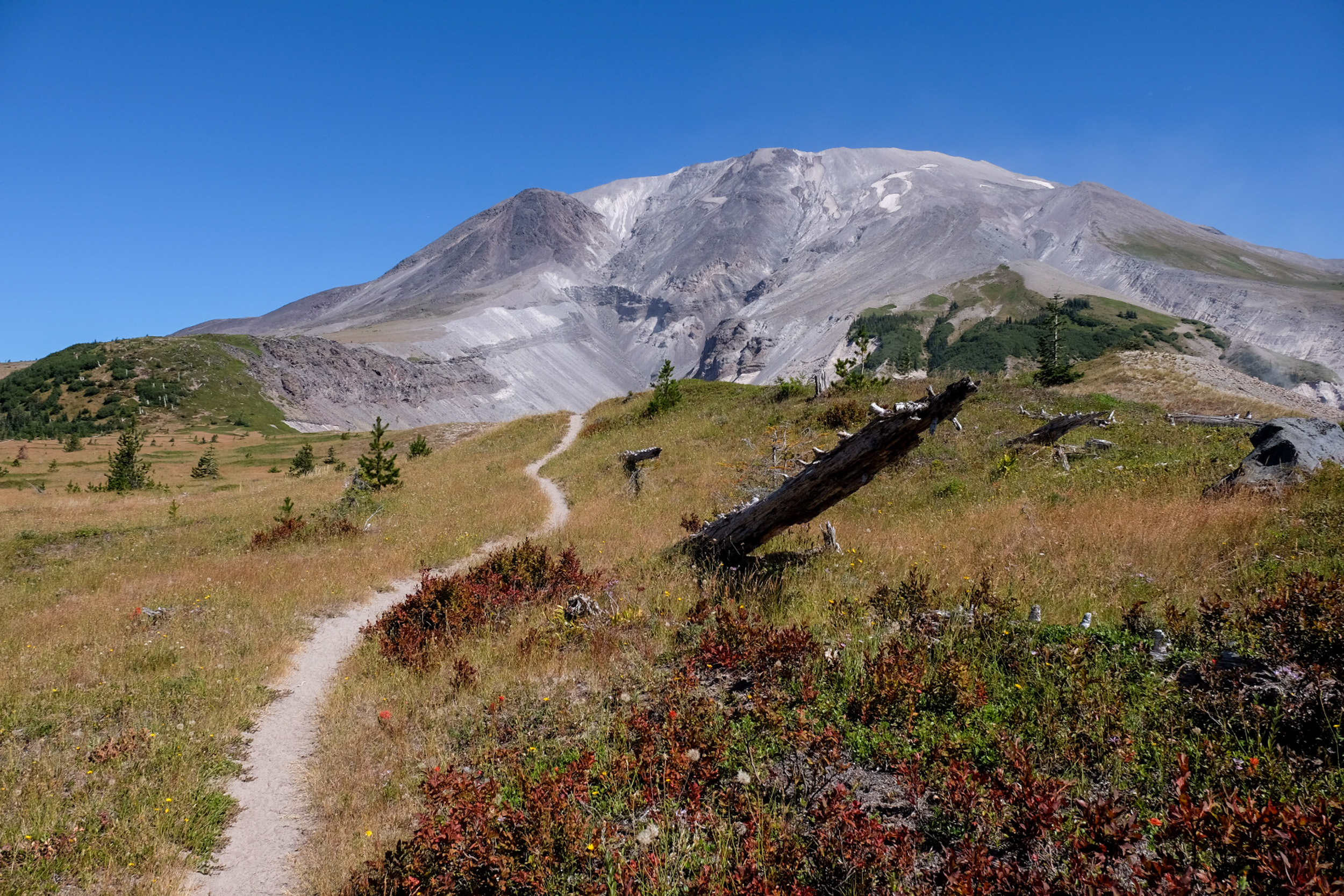
The Loowit Trail circles Mount St. Helens through one of the most unique landscapes I’ve seen in the entire Pacific Northwest. It traverses lava fields, old-growth forest, wildflower meadows, deep erosion gullies, loose pumice, and the northern blast zone created by the volcano’s 1980 eruption.
Although the official loop is only 30 miles, the rugged terrain and limited camping and water make it feel much longer (e.g., slower) than that. Most backpackers should plan for two nights and roughly 34 miles in total from Climber’s Bivouac.
Loowit Trail at a Glance
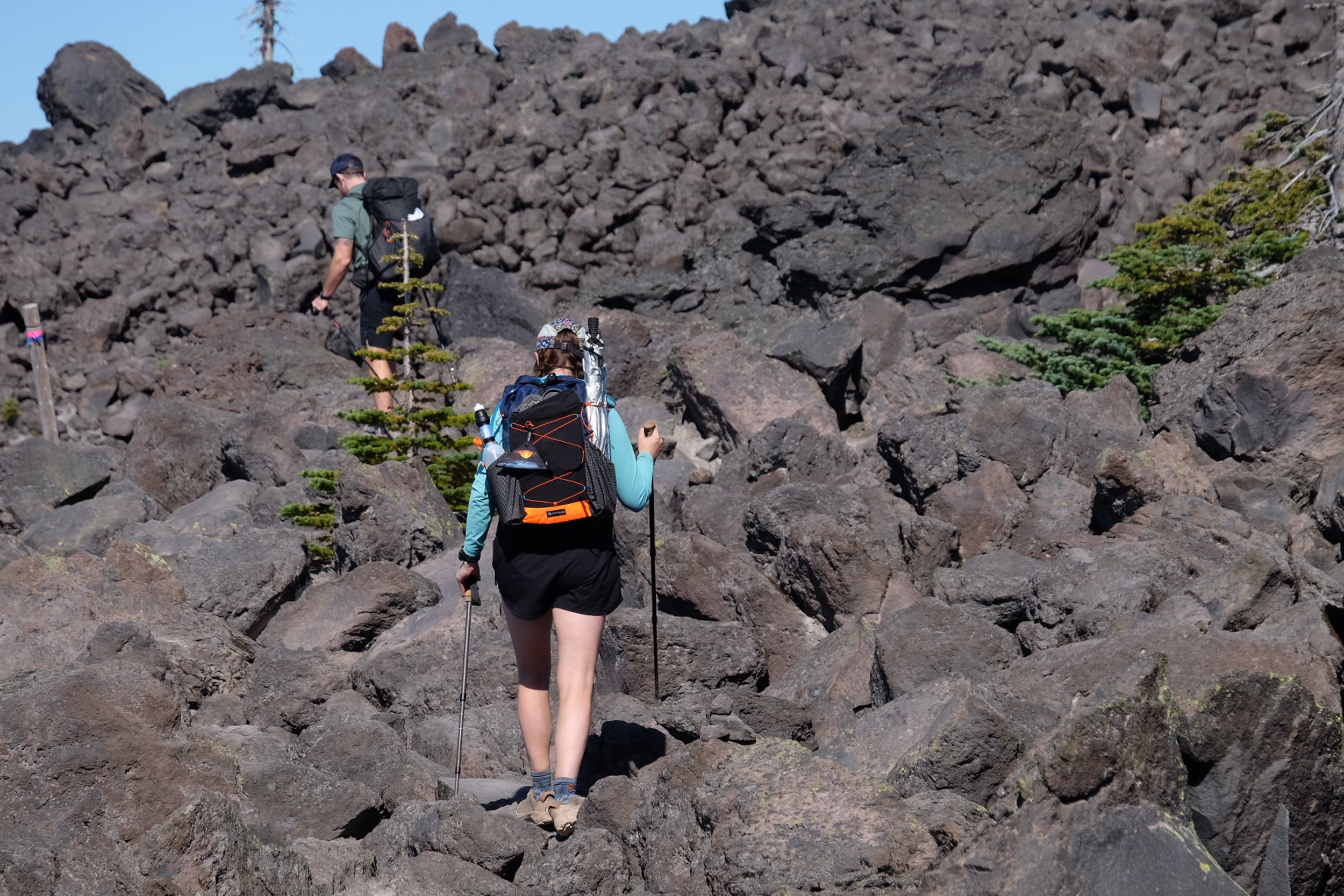
photo @therealhikingviking
- Loowit Trail length: 30 miles for the official Loowit Trail #216 loop.
- Full distance from Climber’s Bivouac: Approximately 34 miles. The Ptarmigan Trail reaches the Loowit Trail after two miles, adding four round-trip approach miles. GPS recordings may vary.
- Elevation gain: Roughly 6,000-7,000 feet, depending on the GPS track and current washout bypasses.
- Expected completion time: Two to three days. Two nights is best for most backpackers.
- Location: Mount St. Helens National Volcanic Monument, Gifford Pinchot National Forest, southwest Washington.
- Best season: Mid-July through September in a typical year. Aim for late July or early August for wildflowers, depending on snowmelt.
- Trail type: Loop with an out-and-back approach from Climber’s Bivouac.
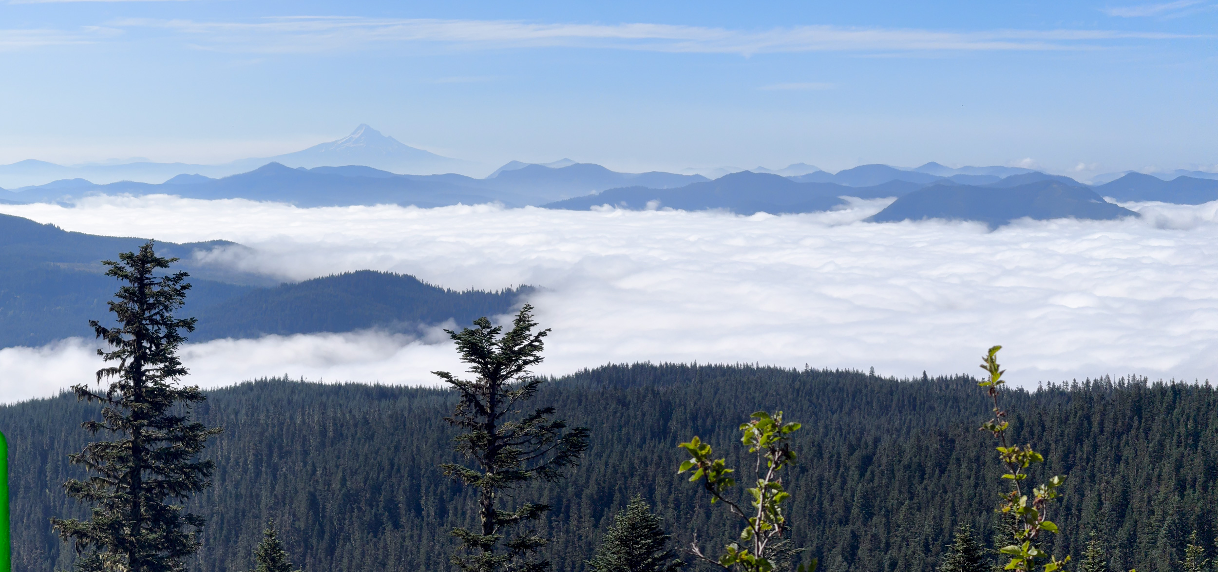
- Scenery: Mount St. Helens’ crater, the blast zone, Spirit Lake, lava fields, subalpine forest, meadows, and views of Mount Adams, Mount Hood, and Mount Rainier.
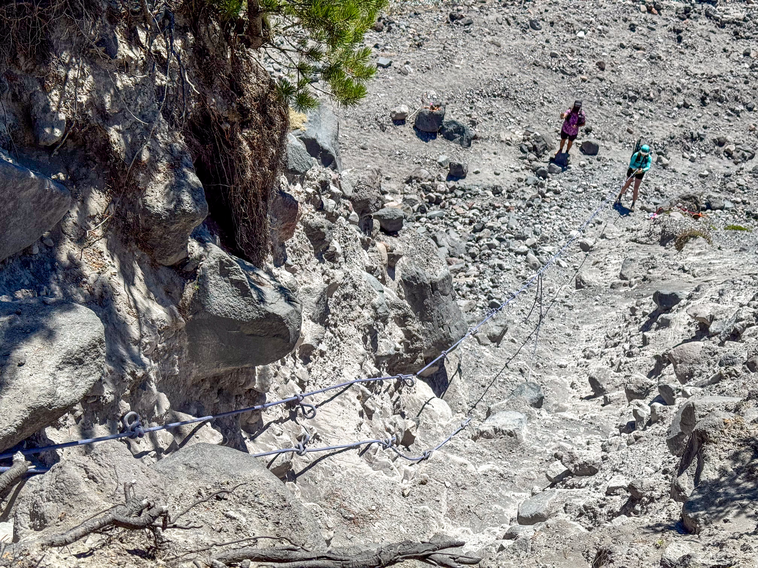
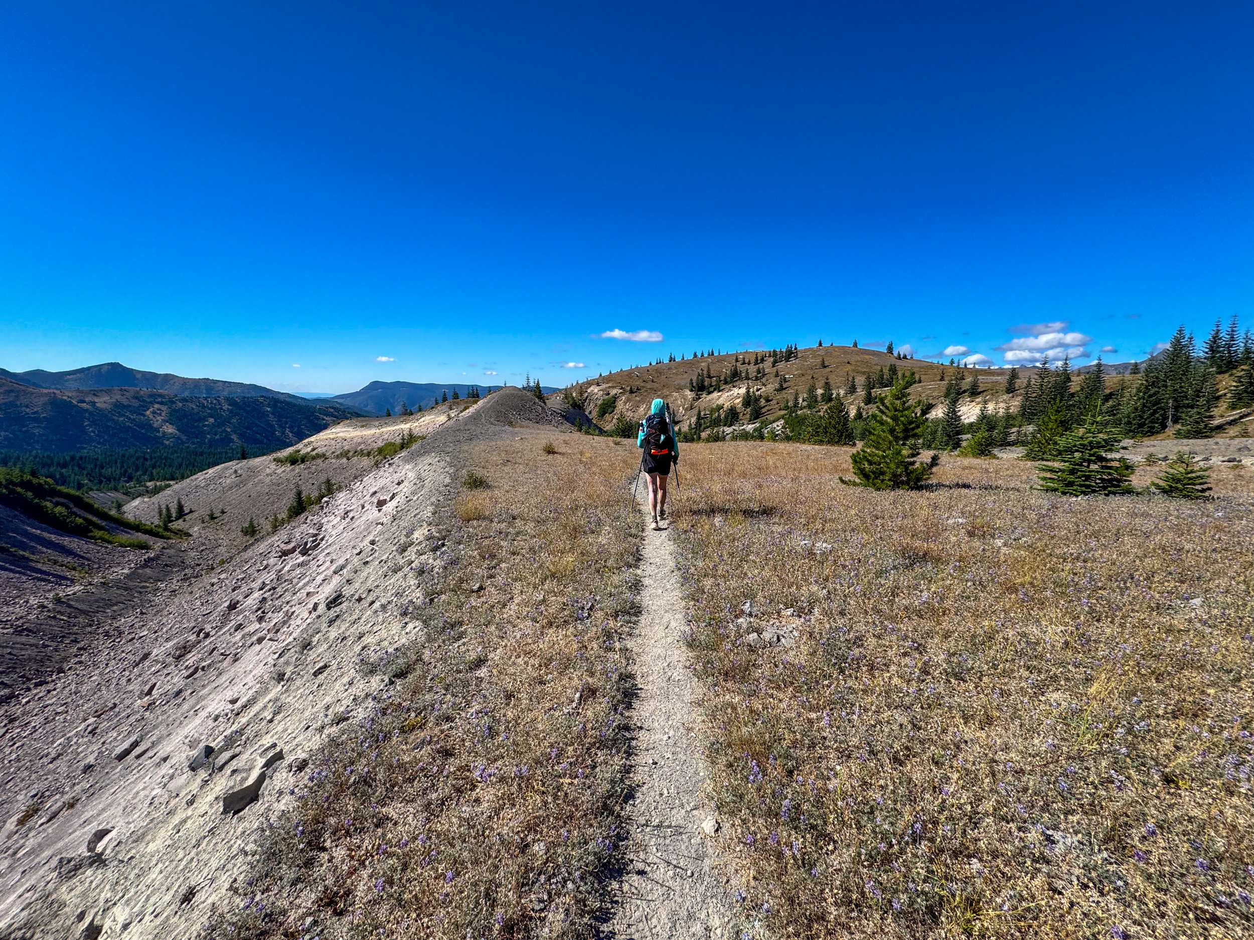
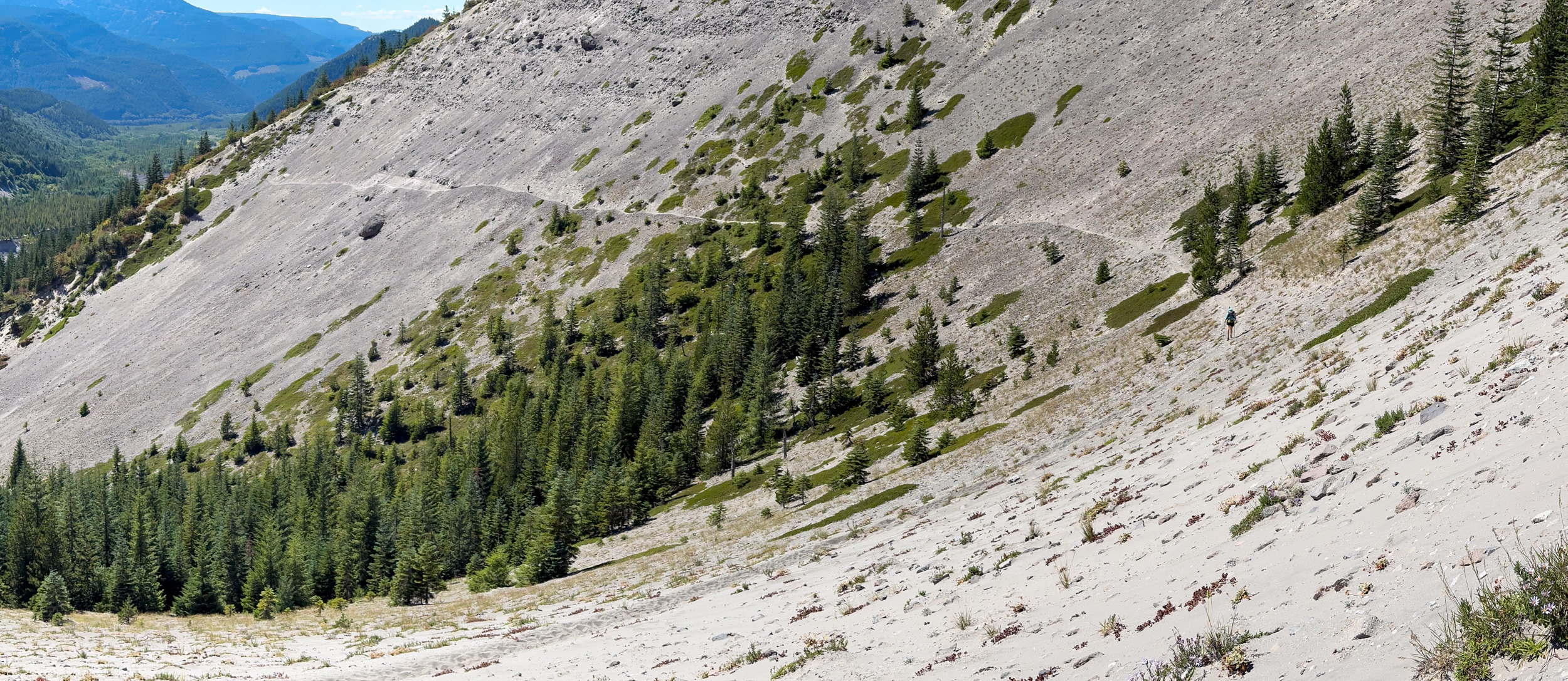
- Terrain: Difficult. Expect loose volcanic sand, boulder hopping, steep gullies, occasional rope-assisted descents, river fords, exposed traverses, and sections where erosion has obscured the tread.
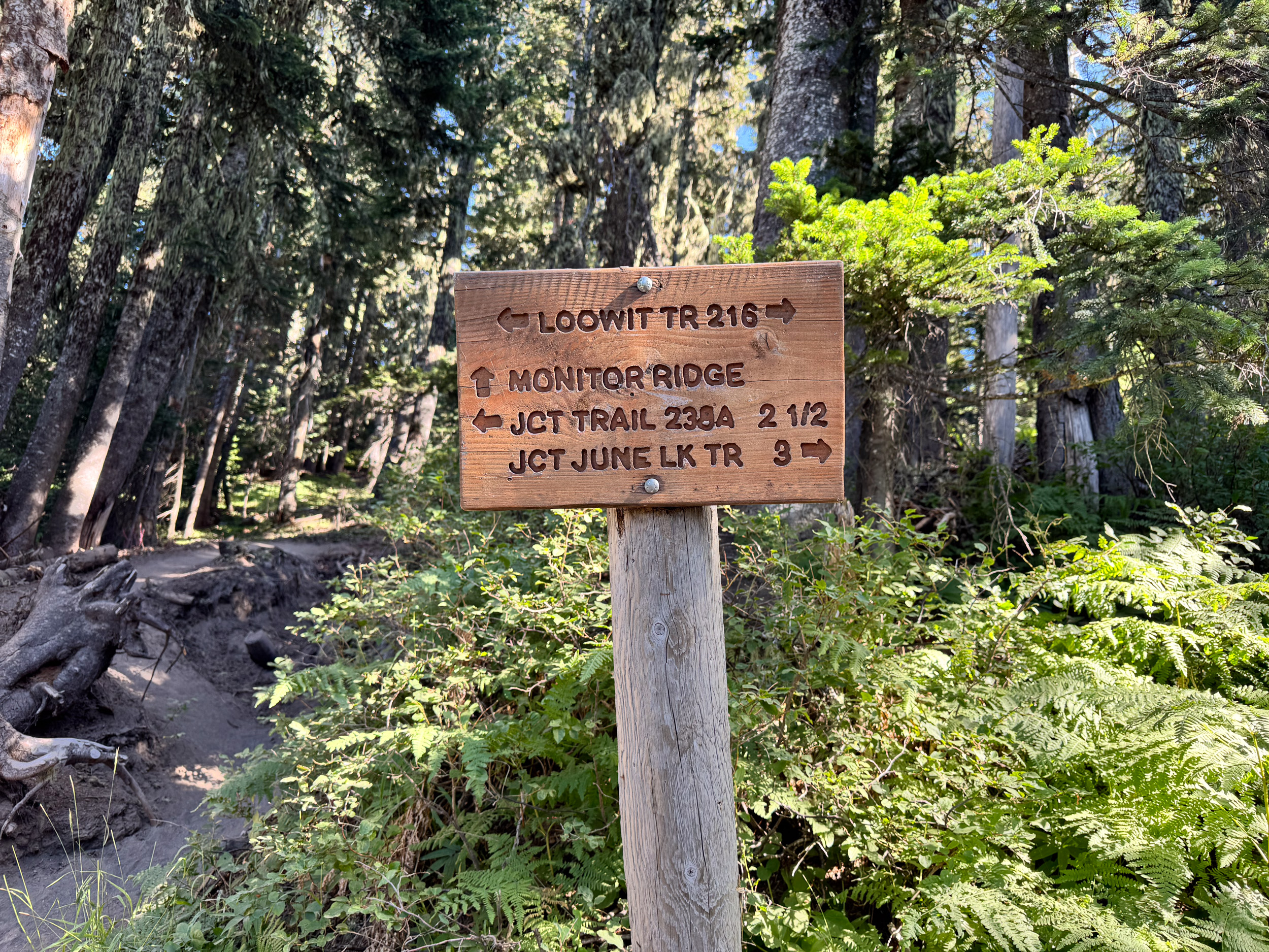
- Navigation: We used onX Backcountry with the route downloaded for offline use. Wooden posts, cairns, and signs mark much of the route, but use paths through lava fields and washouts can pull hikers off course. Carry a backup map and review the Forest Service Loowit Trail page before leaving.
Bonus: you can score a free 3-month trial of onX Backcountry Elite by signing up here. No credit card required.
Getting to the trail
For a full backpacking loop, we recommend starting at Climber’s Bivouac on the south side of Mount St. Helens. The trailhead coordinates are 46.146695, -122.181703. From Cougar, follow Lewis River Road/Forest Road 90 east, then Forest Roads 83, 81, and 830 toward Climber’s Bivouac. Parking is limited and there is no potable water at the trailhead, although there are vault toilets.
The final 2.7-mile approach is a winding gravel road rather than a rocky four-wheel-drive track. We saw several two-wheel-drive vehicles in the lot and reached the trailhead in a two-wheel-drive van without difficulty. However, the Forest Service currently recommends AWD or four-wheel drive on Forest Road 81-830, and seasonal conditions can change the equation. Check the current Climber’s Bivouac conditions before committing to the drive.
Temporary access note: Through 2027, weekday construction closures affect Trails 1E, 207, 207A, 216D, and 216E, along with the Forest Road 99 extension. The Forest Service alert summary and underlying order list slightly different date ranges, so consult the current Spirit Lake construction alert rather than relying on a saved date. Starting at Climber’s Bivouac avoids reliance on those north- and east-side feeder trails.
Loowit Trail Permits and Fees
No backpacking permit is required to hike or camp along the Loowit Trail. Climber’s Bivouac charges a $5-per-vehicle per-day recreation fee, or you can display a valid Northwest Forest Pass or Interagency Pass such as the America the Beautiful Pass.
A Mount St. Helens climbing permit is required only above 4,800 feet; hikers staying on the Loowit Trail do not need one. Check current fire restrictions and closures before the trip.
Best Direction to Hike
The loop can be hiked in either direction, but clockwise from Climber’s Bivouac makes the most sense for a two-night itinerary. Going clockwise reaches the South Fork Toutle River — the first reliable combination of water and legal camping — after about 9.5 miles. Camp there on night one, then cross the restricted northern blast zone the next day.
Counterclockwise creates a much more awkward first day. The water sources near the north side are beyond Windy Pass when traveling counterclockwise, which means they lie inside the zone where camping is prohibited. To camp beside reliable water, a counterclockwise hiker starting at Climber’s Bivouac would need to continue all the way through the restricted area to the South Fork Toutle River, making the opening day roughly 20-21 miles. Otherwise, camp before Windy Pass while carrying all water needed overnight.
Why Hike the Loowit Trail?
The Loowit Trail packs an unusual amount of variety into a long weekend. From Climber’s Bivouac, hikers move from shaded forest to ancient lava flows, cross steep volcanic washes, enter a landscape still recovering from the 1980 eruption, and look directly into the breached crater.
It is also easier to plan than several of the Pacific Northwest’s better-known volcano loops. There is no backpacking-permit lottery and no reserved-campsite itinerary. The Loowit is also much less busy relative to the Wonderland or Timberline Trails, particularly on weekdays, although solitude is never guaranteed. We encountered only two other hikers doing the full loop during our ~2 days on trail. The scenery is marquee-caliber, while the experience remains rugged and relatively uncrowded.
The USGS describes Mount St. Helens as the most active volcano in the Cascade Range and as the contiguous-US volcano most likely to erupt in the future. From 2004 to 2008, the volcano built a second lava dome roughly equivalent in volume to the dome formed between 1980 and 1986. Together, those two domes have refilled only about 7 percent of the volume removed in the 1980 landslide.
Climate and Weather
The most reliable hiking window is generally mid-July through September. Snow can linger on high and north-facing sections into July, especially after a heavy winter. Earlier trips may bring more water, less dust, and more wildflowers, but snow complicates exposed traverses and gullies.
By late summer, expect intense sun, loose dust and ash, dry seasonal creeks, and the possibility of wildfire smoke. Wind can be severe around exposed passes and pumice flats. We camped about one mile past Windy Pass (from a clockwise orientation) during sustained wind strong enough to make shelter setup difficult and fill our tents with sand. Mountain weather changes quickly, so carry rain protection even when the regional forecast looks dry.
Gear Suggestions
- Trekking poles: Highly recommended for loose descents, river crossings, boulder fields, and the steep walls of eroded washes.
- Three to four liters of water capacity: Carry more in hot or dry conditions.
- Sun protection: Bring a sun hoodie or long-sleeve shirt, hat, sunglasses, and sunscreen.
- Rain gear: The forecast went from only sunny skies to a high probability of rain in a 48-hour span. Prepare for the wet, hope for the dry.
- A complete backpacking tent setup: Bring every required stake and extra guylines; don’t be like Katie, who did not bring her stakes (we attempted to give her the trail name “Miss Stakes”).
- Good trail footwear with dependable tread: Loose pumice and boulder hopping demands traction. Gaiters and fresh socks help manage volcanic grit.
- Offline navigation and backup power: Cell service is inconsistent, and erosion can erase sections of tread. We used onX Backcountry for this trip.
Camping on the Loowit Trail
There are no shelters or formally spaced backcountry campgrounds on the loop. Backpackers use durable dispersed sites where camping is legal, but their size and quality vary from season to season.
The most important restriction is on the north side: camping, off-trail travel, bicycles, fires, pets, and livestock are prohibited for the 10 miles between the South Fork Toutle River and Windy Pass. The Forest Service states that these rules protect sensitive natural features and scientific studies. The entire section must be completed in one day.
Suggested Two-Night Itinerary
- Day 1: Climber’s Bivouac to the South Fork Toutle River, approximately 9.5 miles. This is a relatively short day, but the lava fields, gullies, and loose footing make the miles slower than they look. Camp on the legal side of the river and fill all water containers.
- Day 2: South Fork Toutle River through the blast zone to a legal site beyond Windy Pass, approximately 12-14 miles. Do not stop inside the restricted zone. Continue to a durable, protected site rather than taking the first exposed flat spot. Alternatively, if you’re looking for a longer Day 2, you can camp near June Lake, which sits a short distance off the official trail.
- Day 3: Return to Climber’s Bivouac, approximately 10-12 miles. Expect more gullies, lava rock, and a final climb before descending the two-mile Ptarmigan Trail to the car.
We completed the route in just under 29 hours with a ~20-mile first day. Strong hikers can do this, but two nights gives most backpackers better campsite choices.
Loowit Trail Highlights
The South Fork Toutle River and Western Gullies
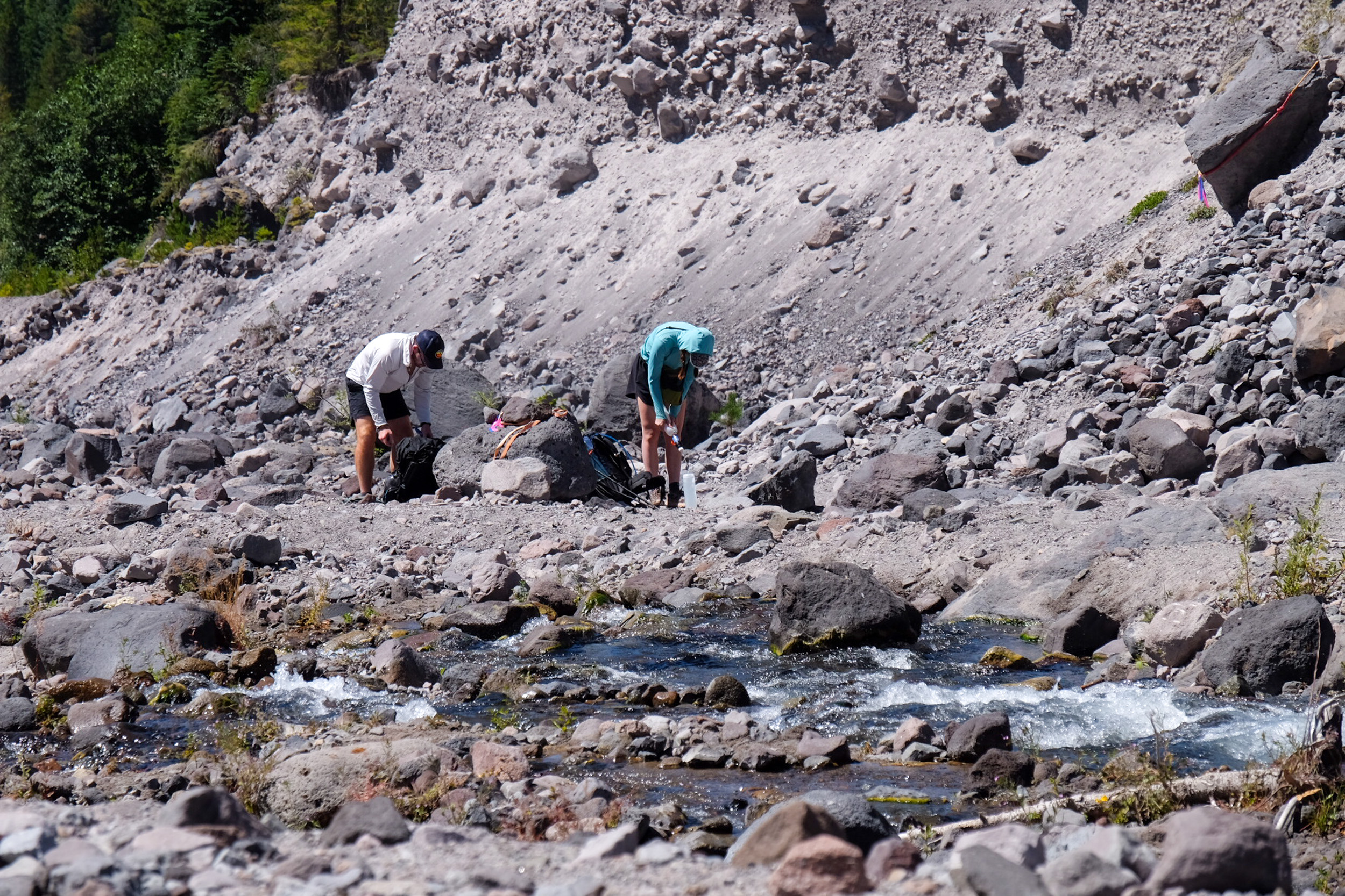
Photo @therealhikingviking
Hikers repeatedly descend into deep erosion channels and climb back out on loose pumice. Several gullies have fixed ropes, though their condition and continued presence should never be assumed. The South Fork Toutle provides a natural break and major water source before the restricted zone.
The Northern Blast Zone
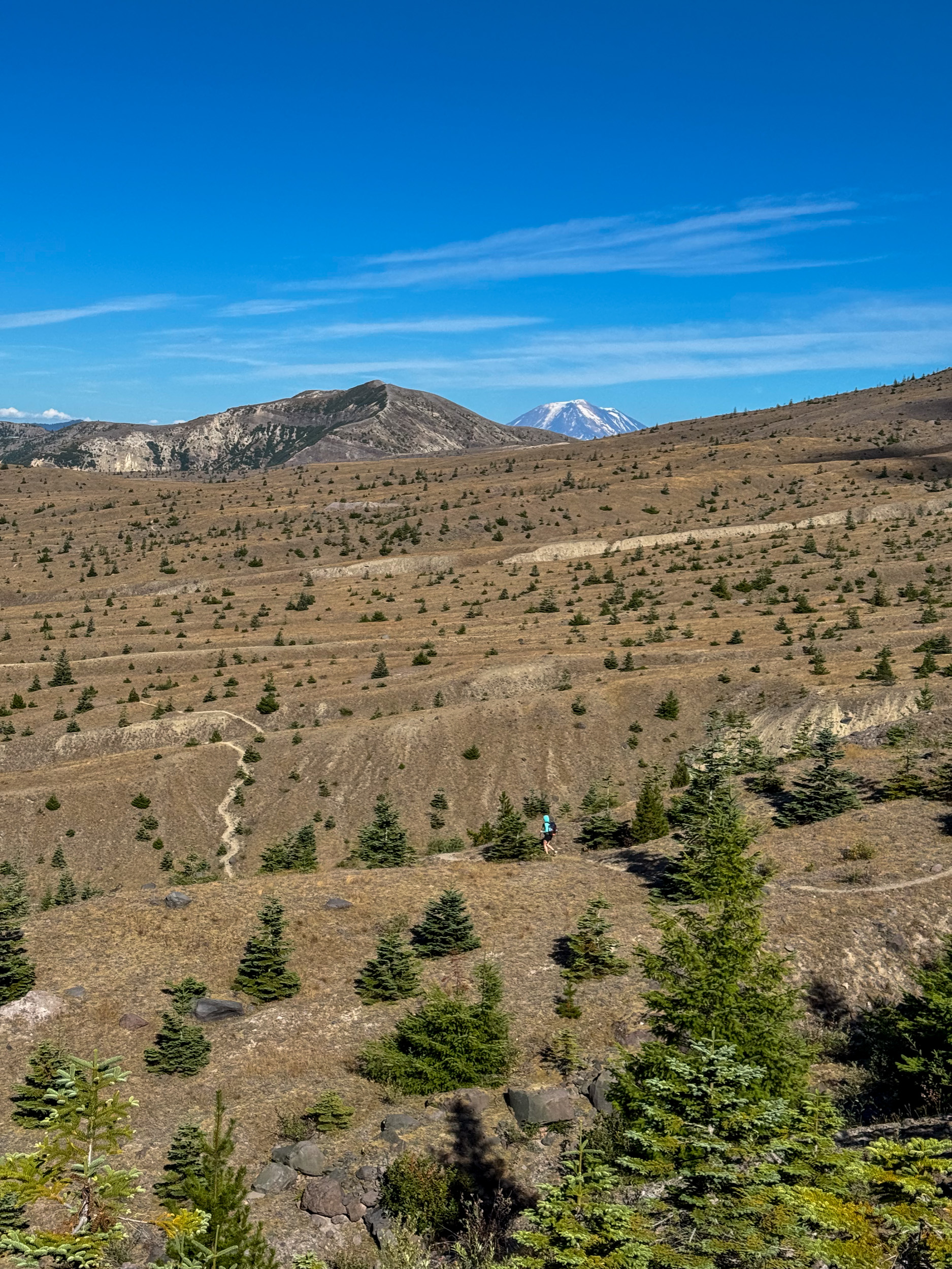
The 10-mile stretch between the South Fork Toutle River and Windy Pass is the centerpiece of the hike. Forest gives way to pumice plains, massive washes, and uninterrupted crater views. Stay on the designated route: the landscape contains fragile recovering ecosystems and research sites.
Windy Pass and Spirit Lake
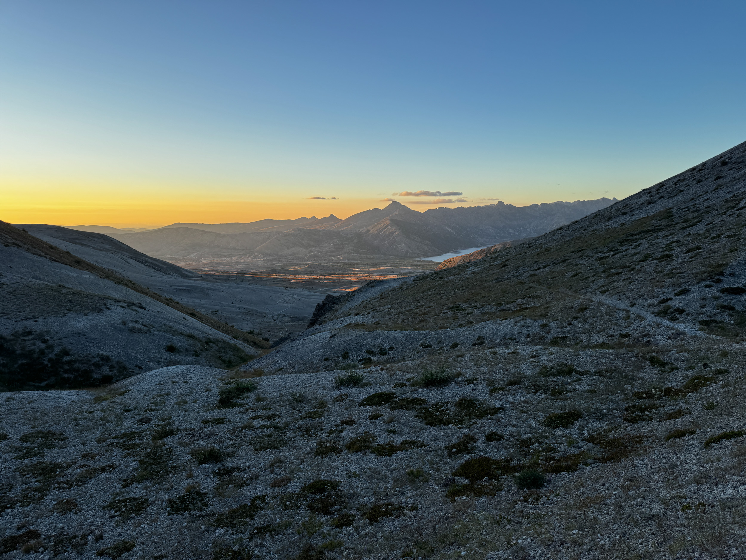
Photo @therealhikingviking
Windy Pass delivers one of the route’s best panoramas, especially in late-day light. Spirit Lake sits below the trail, with a floating log mat made up of trees swept into the lake during the 1980 eruption. The pass also opens views toward Mount Adams and Mount Rainier.
Lava Fields, Forest, and Wildflowers
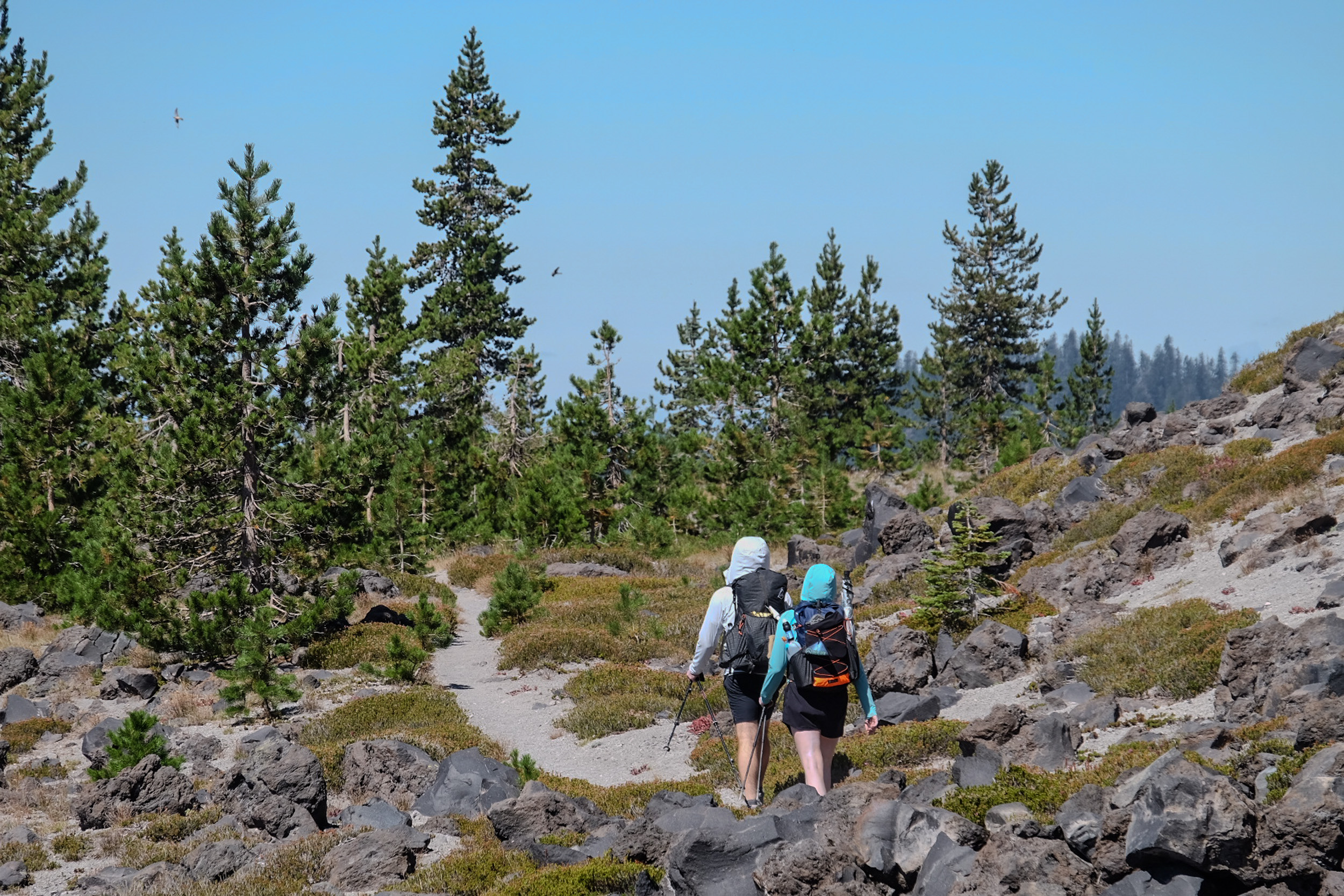
Photo @therealhikingviking
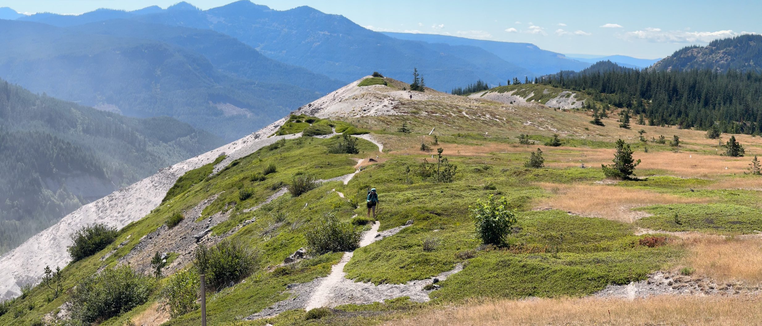
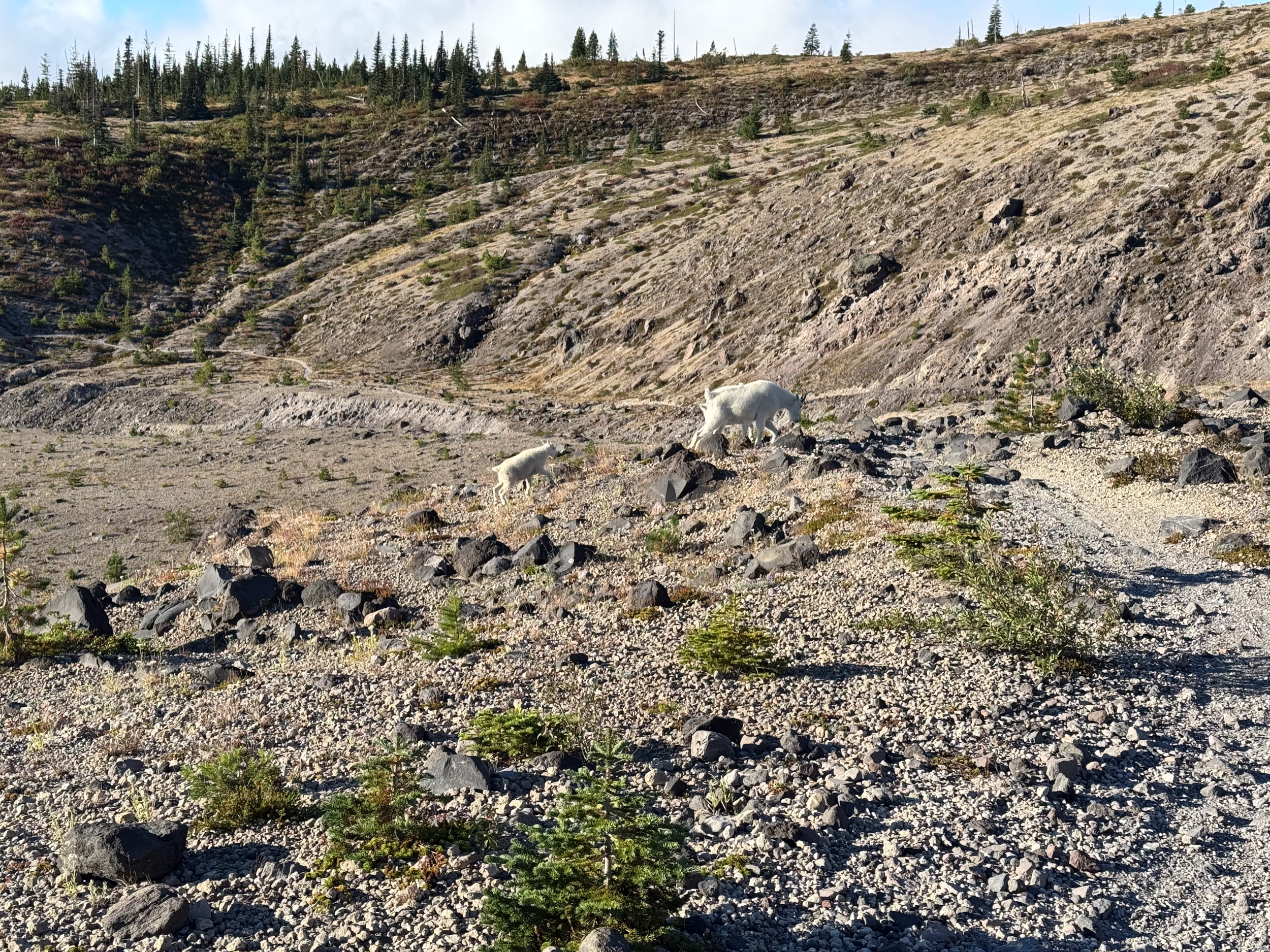
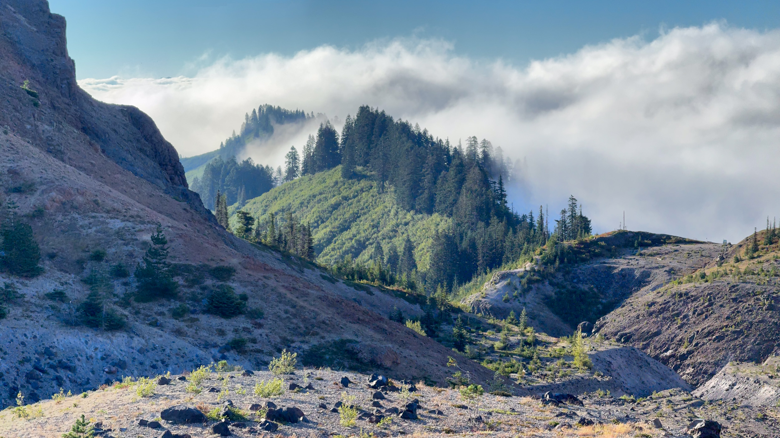
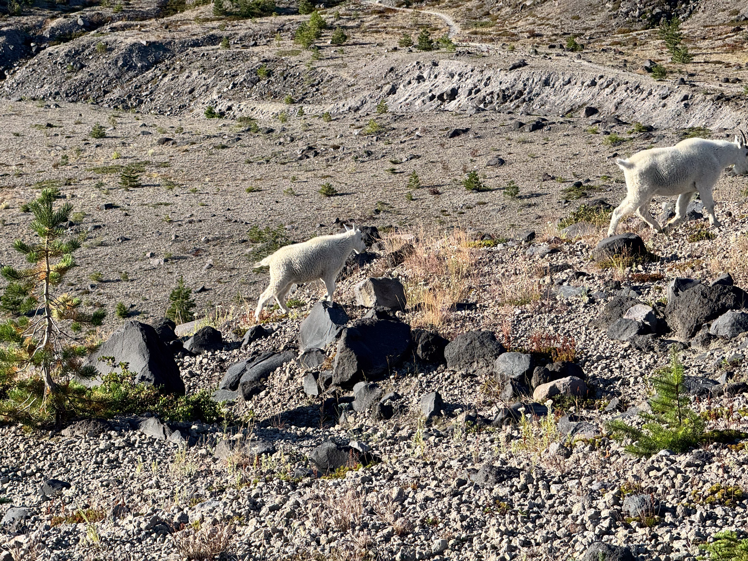
The trail passes through old-growth and subalpine forest, crosses rough lava-rock gardens, and moves through meadows that can be filled with wildflowers earlier in the hiking season. We also encountered multiple groups of mountain goats; give them space and never block their route through steep terrain.
Water Sources
Water availability is the biggest planning variable on the Loowit Trail. There is no potable water at Climber’s Bivouac, and on our August hike we encountered no dependable on-trail source between the trailhead and the South Fork Toutle River. Start with enough water for roughly 9.5 miles.
The South Fork Toutle is a major source and the logical place to refill before entering the blast zone. We encountered a deeply silty stream followed shortly afterward by much clearer water, but seasonal flow changes quickly and trip-specific observations should not be treated as guarantees.
The Forest Service lists year-round springs one mile down the Butte Camp Trail from the Loowit junction, one-quarter mile down the Toutle Trail from its Loowit junction, and one-half mile from the Windy/Loowit junction. These require side trips, and the spring near Windy Pass does not solve the counterclockwise camping problem because it is reached inside the no-camping zone. Additional snowmelt creeks can disappear by late summer.
Treat all water. Chocolate Falls and other volcanic drainages can carry enough rock flour and sediment to slow or clog a filter almost immediately. Carry a prefilter, backflush method, and chemical backup.
Resupply Options
There are no resupply points on the Loowit Trail. Carry all food, stove fuel, and required gear from the start. Cougar has limited services, so buy specialty food and equipment before driving into the national forest.
Closing Thoughts
The Loowit Trail is one of the Pacific Northwest’s best short backpacking loops, but its mileage undersells its difficulty. Plan on a total of approximately 34 miles from Climber’s Bivouac, of which 30 miles are the official loop. Give yourself two nights, and build the itinerary around the South Fork Toutle River and the 10-mile no-camping zone. Carry substantial water, download navigation, and take the loose terrain seriously.
In return, the Loowit provides a permit-light circumnavigation with extraordinary scenery, fascinating recent geologic history, and a sense of wildness that is difficult to find on a trail this compact. Before leaving, review the Forest Service trail page, current Gifford Pinchot National Forest alerts, and recent Washington Trails Association trip reports.
We will be publishing an episode of Backpacker Radio and a YouTube video covering our hike, so stay tuned!
Featured image: Graphic design by Chris Helm.
More Photos!
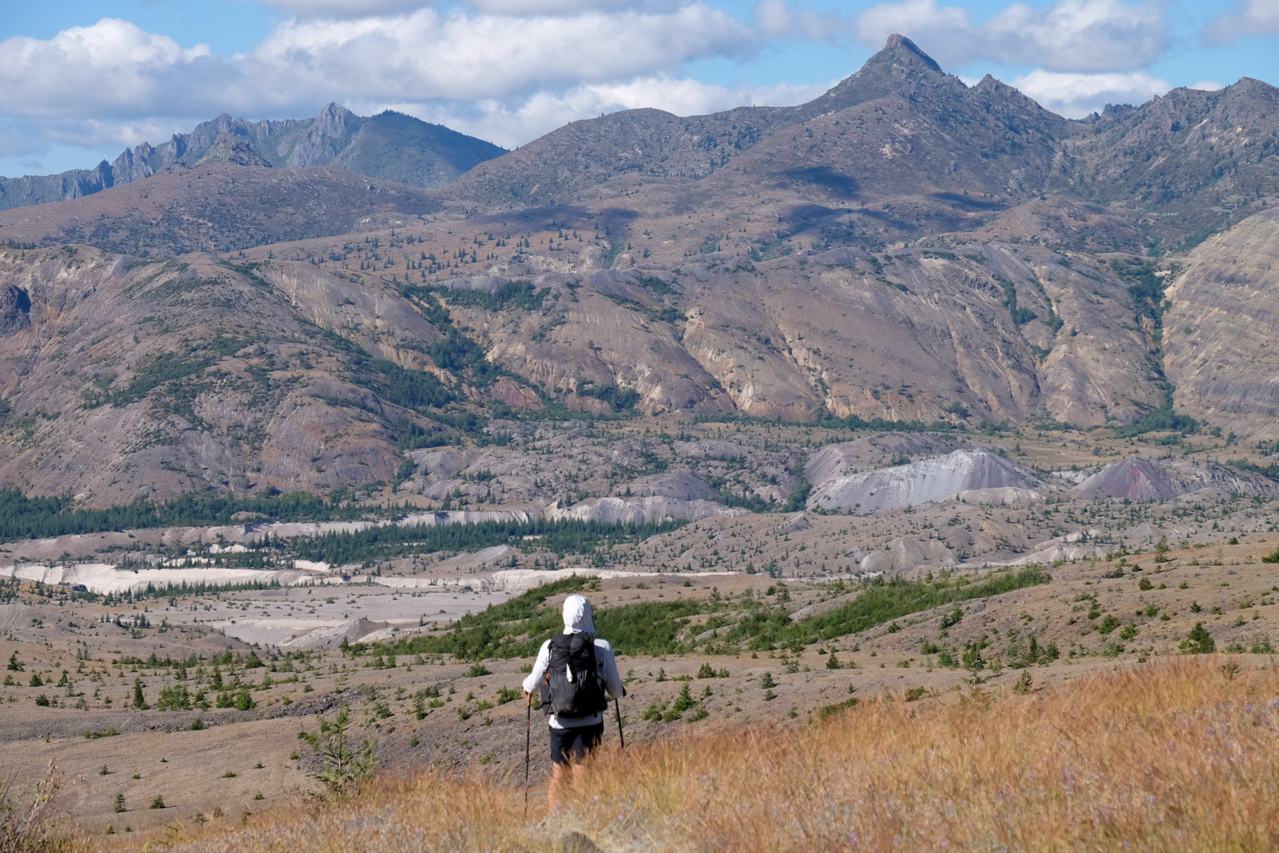
Photo @therealhikingviking
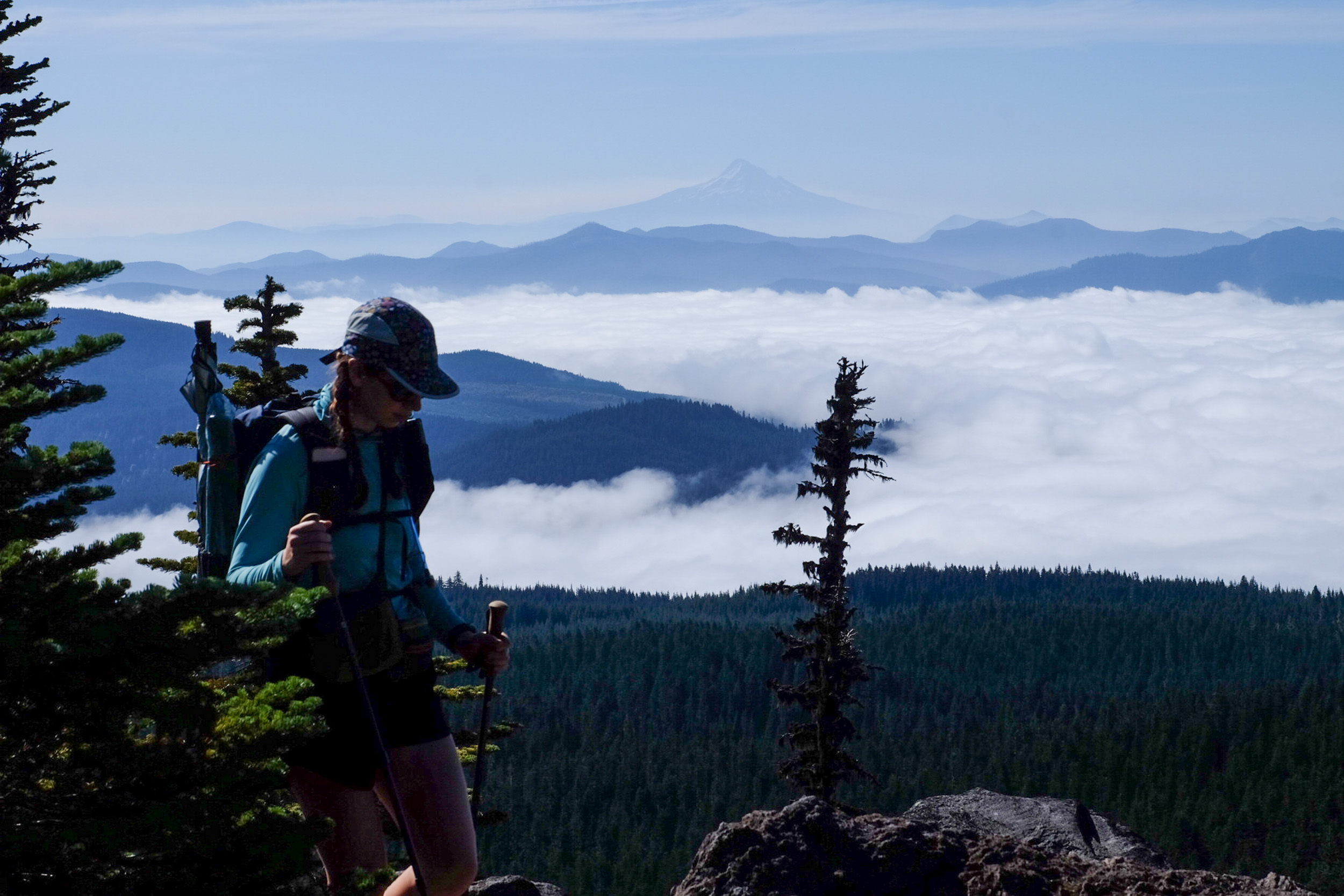
Photo @therealhikingviking
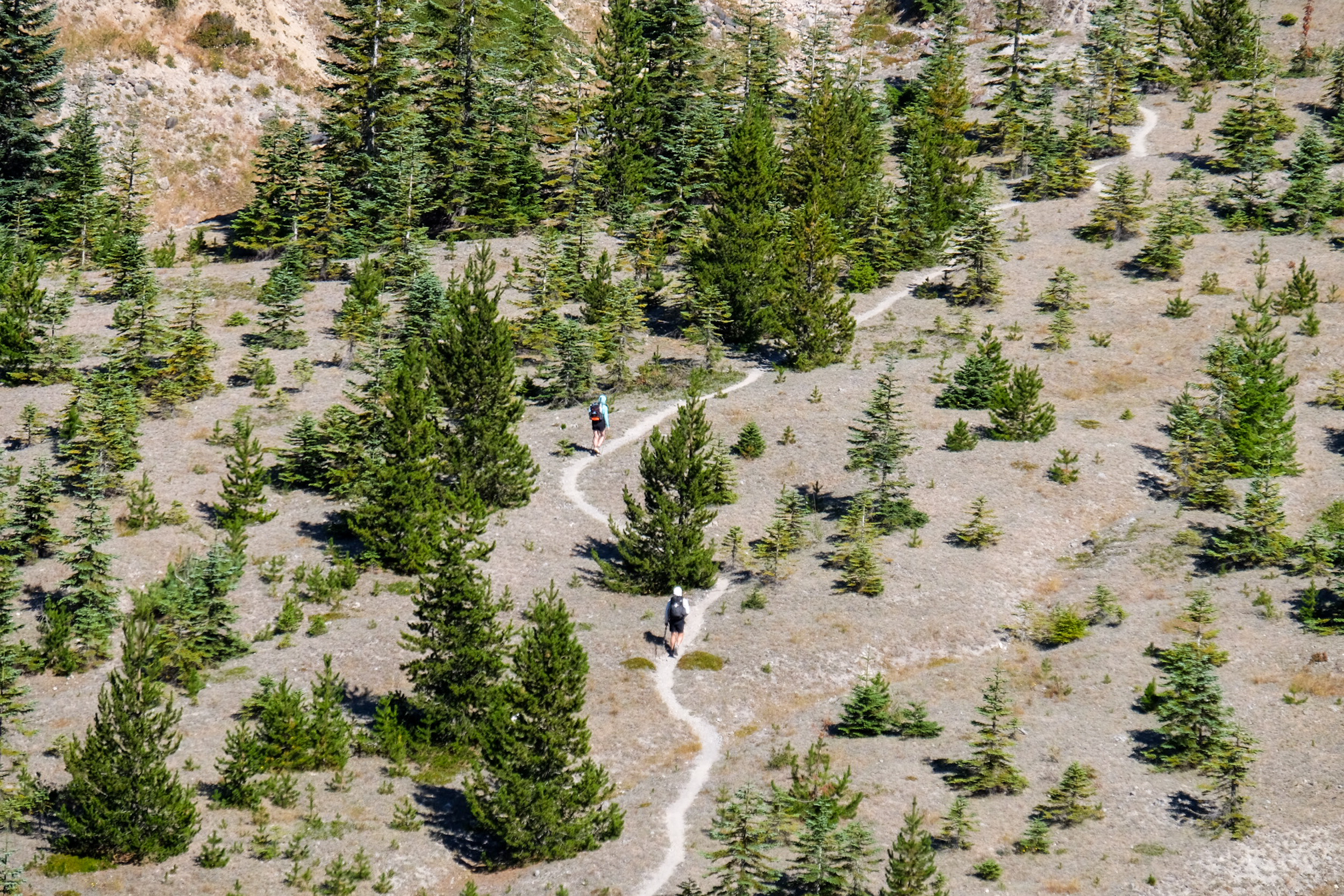
Photo @therealhikingviking

This website contains affiliate links, which means The Trek may receive a percentage of any product or service you purchase using the links in the articles or advertisements. The buyer pays the same price as they would otherwise, and your purchase helps to support The Trek's ongoing goal to serve you quality backpacking advice and information. Thanks for your support!
To learn more, please visit the About This Site page.

Comments 1
Sounds like you guys did this right after I did. Though for me, we referred to it as “a long walk around my office”. Haha
I personally recommend the clear creek water 1/4 mile back on the Toutle trail, over filtering from the Toutle River. I also took advantage of the short detour down to Butte camp for water. It allowed me to start with less weight to get my legs going, and I’ve hiked down there many times so I knew Butte camp was just really pretty.
Can’t wait for the video!