 ">
">
I MADE IT TO COLORADO: a retrospective update from the CDT
Hey guys! You may remember me from the ghosts of spring bloggers past. Last time you heard from me, I was walking through the Land of Enchantment, better known as New Mexico. NO, I did not get totally lost in the CDT corridor, and NO I did not quit, and yes ( ::SPOILER ALERT:: ) a couple months later, I made it to Canada. Over the next couple weeks I will be sharing some of my experiences and photos with you!
Finishing New Mexico: Bring on the Mountains… and SNOW
Although it was only about 300 miles into my trek, when I made it to Pie Town, NM, I mentally knew I was going to make it. A friend told me that those who continue to walk after Pie Town are the ones to watch and follow up to Canada. It had been a physically difficult section that left my body stronger and much more calloused–preparing me for the adventures up ahead.
Leaving Pie Town, I made my way up and over the first of MANY mountains (so many I lost count): Mt. Taylor. At 11,301 ft, it is the highest I had been thus far on trail. I’ll admit that I felt invigorated to be on an actual mountain. Little did I know what was up ahead. I soon walked beyond the delightful group of hikertrash I had been with since Crazy Cook, and I was greeted with the first of what would become an overwhelming amount of snow and post-holing. I made my way over the border into Colorado alone–finishing the first of 5 states the CDT goes through. Here are some pictures to prove it:

View of Mt Taylor

400 miles and counting!

Summit of Mt. Taylor

We had a huge group of hikertrash for the night right below the summit and out of the raging CDT wind.

Some hikertrash carried some amusement with them. During breaks we would play this (Carcassonne) and Settlers of the CDT (homemade version). Winner carried the game! #worththeweight

A common trail marker along the way.
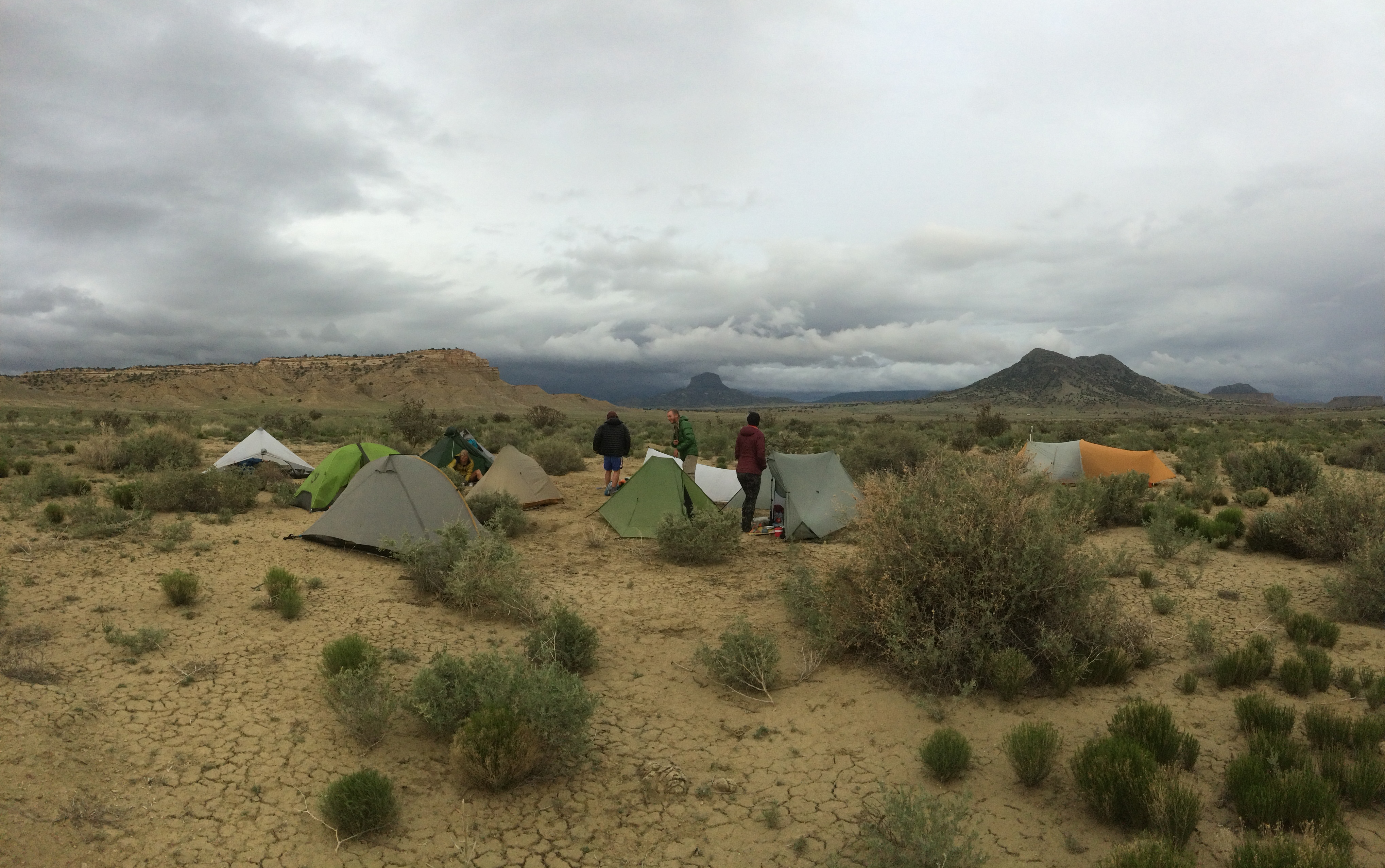
Hikertrash in the desert.


500 miles down!

The trail markers often told you which direction the trail was turning.

The day before I arrived in Colorado, it snowed about 3 inches.
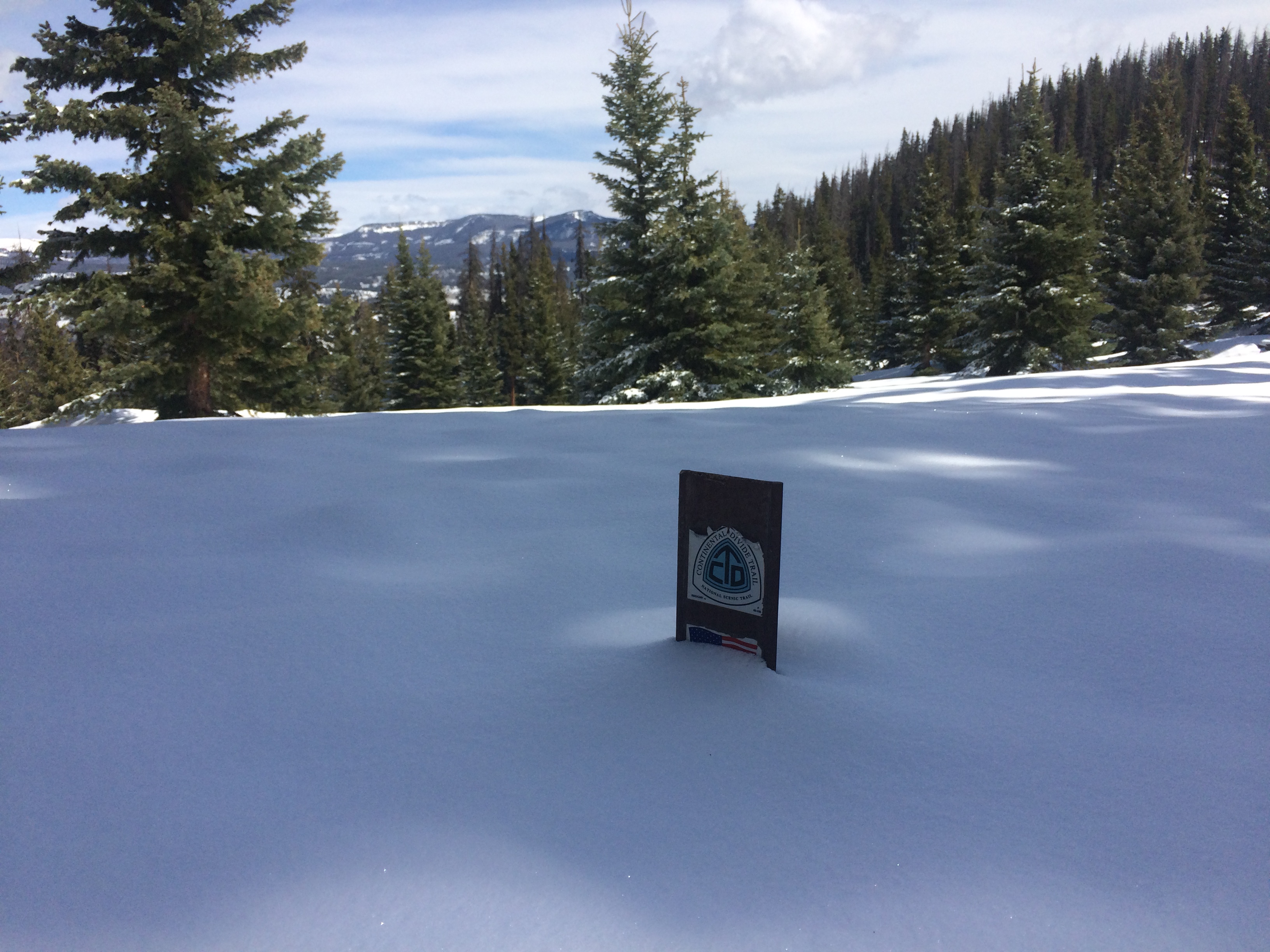
Buried in the fresh snow!

This is about as official as the border of NM/CO got: a knocked down national forest sign.
Please stay tuned for more adventures, as I make my way through what would be one of the most challenging sections of my whole hike: Colorado and the San Juan Mountains.
You can also check out my Instagram account if you want a taste of what I’ll be sharing, as well as my current adventures back home in Utah. Follow me, @kaytebrown!

This website contains affiliate links, which means The Trek may receive a percentage of any product or service you purchase using the links in the articles or advertisements. The buyer pays the same price as they would otherwise, and your purchase helps to support The Trek's ongoing goal to serve you quality backpacking advice and information. Thanks for your support!
To learn more, please visit the About This Site page.
