 ">
">
Maps Versus Apps for Backcountry Navigation
There have been major changes in the the world of backcountry navigation over the past two decades—heck, in the world of navigation in general. Back when I was a child, we would print out the directions from MapQuest (remember MapQuest?) and one of us would act as my mom’s co-pilot as we made our way to our destination. Fast forward ten years (OK, maybe 15) and we are no longer slaves to printed directions or even external GPS trackers. Simply tell your phone where you want to go and various directions pop up—with live traffic updates and where to stop for any and all basic needs.
As technology becomes more advanced, wilderness navigation has also shifted. It started out as simply having the ability to access online forums, where hikers could share trail conditions or journals, and has increased to the point where you can essentially walk down the trail sans map and compass and follow the track on your phone to your destination. Especially among the thru-hiking and long-distance hiking communities, using an app for navigation has become the norm.
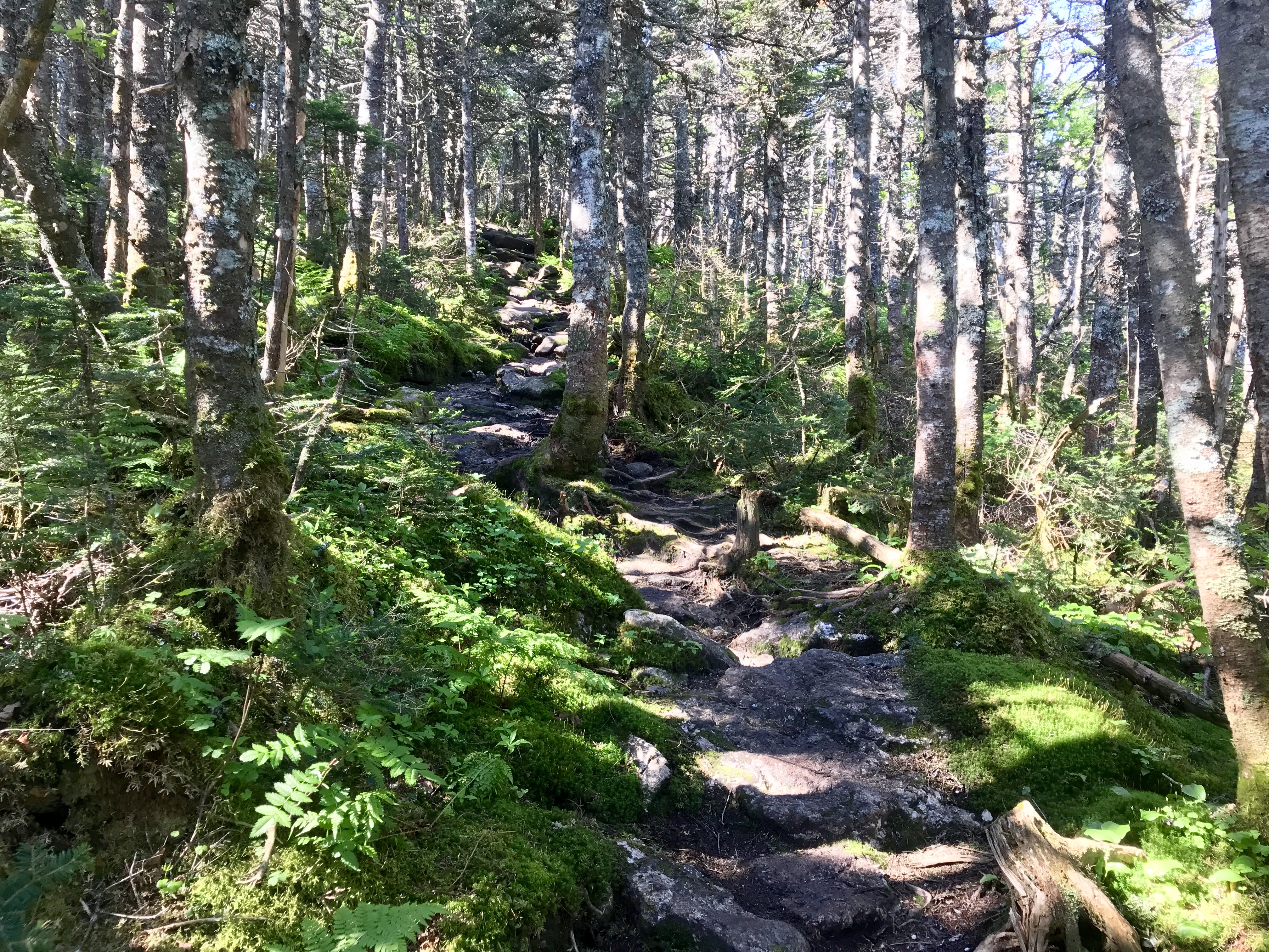
Ascending Mount Garfield.
There are still hikers who choose not to use an app for navigation. Additionally, there are many trails that require map and compass skills to follow. However, for the most part, navigation has become as simple as paying for and downloading a GPS track of a trail onto your phone to safely navigate in the backcountry.
I not only prefer, but solely use maps to navigate in the backcountry. I tried Guthook a few times, have taken a look at AllTrails and Gaia, but I started off using maps, and it feels unnatural to use anything else. I’ve become so accustomed to reading a map and comparing it to the land that I’d hate to lose that skill by switching to an app. That said, I can absolutely see how apps like Guthook can be extremely helpful, especially on long-distance hikes. The number of features this app has is mind-boggling, and it takes almost all of the guesswork out of navigation.
Using Maps for Wilderness Navigation

Ascending Owl’s Head.
The OG method of wilderness navigation, a map and compass (and the ability to use both) is somewhat of a dying art. When I started hiking solo four years ago I decided to take a wilderness navigation class and was taught how to use a map and compass. Since taking that course I have used that skill exactly zero times. I haven’t switched to a GPS for navigating—I don’t use a compass because I don’t need to. Ninety-nine percent of the trails I hike on are marked and maintained (although the level of maintenance varies). Most trails can be followed with a basic understanding of how to read a map and by following the blazes on the trees. However, there is some skill needed to navigate without an app or GPS.
Pros and Cons to Using Maps for Wilderness Navigation
One of the biggest benefits is gaining confidence in backcountry navigation. You learn to read the land, become more in tune with your surroundings, and will become more confident with finding your way through the woods. However, using a map for navigation is a multifaceted process. It’s not just a matter of clicking on an app and having access to all the information at once. You will need to do some sleuthing to find out everything you should know prior to going on your hike.
Additionally, maps don’t lose battery or fail to provide accurate information. You don’t have to worry about battery life when using a map, and if you’re using the newest version of the map you shouldn’t have a difficult time finding the right trail. Most maps have a guidebook that goes along with them, and those are also extremely beneficial because they give a more detailed picture of the trail. This leads to one of the cons of map use in the backcountry.
Using a map for wilderness navigation requires more research before going on a hike to gain enough information to make safe choices on the trail. For example, you can’t simply click on an app and read recent trail reports on water sources, find contact information for rides, or see trail conditions. You must go to the guidebook for the area, or get in touch with other hikers who have recently hiked the trail, and it is more work to find out everything you need to know about the route.
Using Apps for Wilderness Navigation

Ethan Pond Trail (part of the AT).
The evolution of digital forms of navigation in the backcountry has been rapid. You no longer need an external GPS device to navigate—just download the app onto your smartphone, buy the track, and go. Gone are the days of worrying about whether or not you’re on the right trail. All you need to do to verify that there will be a water source coming up is to click on the app. No more fumbling with paper maps, or digging through your pack to find the guidebook. The world has gone digital, and that has spilled into the wilderness.
Pros and Cons to Using Apps for Wilderness Navigation
Using an app (like Guthook) for navigation is the simplest, lightest, and I’d reckon the most common way, to navigate in the woods these days. You have everything you need right at your fingertips. The ease of use and accessibility has made hiking less daunting for many people and even someone who doesn’t know how to read a map can follow a line on their phones. The trail is laid out in front of you, and all you need to do to verify that you’re going the right way is look down at your phone. You don’t even need to worry (as much) about killing your battery because the apps work in airplane mode.
Apps have up-to-date and accurate information on pretty much everything else you need to know while hiking. Hikers can comment on water sources, trail conditions, or if a shelter is closed, all from their phones. Other hikers can see that information instantly. You don’t have to wonder how much farther to the nearest shelter; just click on the app and see how much more you have to go. Finding out what services are available in the nearest town, phone numbers for hostels? It’s all right at your fingertips. But what happens when your phone fails?

The biggest—and possibly the only—con to using an app for navigation is that technology can fail. Your phone may die, the GPS may be wrong, and without another way of navigating, you’re in a potentially unsafe situation. While it’s not common, especially these days, there are times when an app will glitch out. For example, the creators may put out a major update that causes navigational snafus on trails across the country. Or, maybe you get inaccurate information on a water source and find yourself without water for an extra 10+ miles. That’s why it’s important to use more than one tool for navigation in the backcountry.
The Best of Both Worlds

A-Z Trail.
Instead of picking sides, or using strictly one tool for navigation, combine both maps and apps for navigation in the backcountry. Just because we have it all at our fingertips doesn’t mean we should go without a map as a backup. On the other hand, using an app to verify that you’re on the right track, or to get up-to-date information on trail conditions, can be the difference between getting lost or staying found while hiking. We live in an ever-changing and technologically driven world.
Even in the wilderness, technology is making its presence known. But it doesn’t have to be the old versus the new. By using all the tools we have been given, spending time in the outdoors can be fun, educational, safe, and an option for everyone.

This website contains affiliate links, which means The Trek may receive a percentage of any product or service you purchase using the links in the articles or advertisements. The buyer pays the same price as they would otherwise, and your purchase helps to support The Trek's ongoing goal to serve you quality backpacking advice and information. Thanks for your support!
To learn more, please visit the About This Site page.

Comments 2
Great article and great advice. I agree that using both is best in today’s world.
I just completed my first backpacking adventure (125 miles of the AT in NC/TN) and used both. I would not have had the experiences I did and felt as comfortable on the trail without using both. The AT Guidebook and related maps help me plan the trip, expected distances, exit points in case of emergency, resupply points, meet up places for people who wanted to join for a section, etc. I carried these with me at all times but to reduce weight, I scanned the maps and the parts of the guide book that were relevant and condensed them down to a very small number of pages that I could carry in my pocket with minimal weight so I didn’t need to take the whole book, etc. These did come in very handy at times particularly when planning the next day or two. There is definitely something to be said for the bigger picture you see when looking at the maps and guides that you may miss looking at a tiny section of the trail on your phone.
However while actually on the AT during the day, I was surprised that I wound up almost exclusively using Guthook to follow our progress, figure out places to stop, revise plans as things were harder or easier than expected in a section, see how steep the next section was going to be, confirm we were where we thought we were, etc. It also saved us in one spot where the trail was not well marked and the river was inches from the trail and extremely high and quite dangerous because of overnight heavy rains. The app does burn battery, especially when you turn on GPS to confirm your position (but it does not need cell towers in range to do this) so you need to carry a battery charger to recharge the phone at night. My iPhone would probably have lasted 3 days or so without recharging and I was able to double that with the battery pack. I then recharged both the cell phone and battery charger at hostels, or other places where there was electricity whenever possible.
However just as valuable as both the maps / guides and the Guthook app was actually talking to people we met who were hiking the other way. I learned a lot and found some interesting places just talking to folks at shelters, lunch, or just passing each other on the trial. I would have never stopped to spend the night and get one of the wonderful homemade milkshakes at the Rabbit Hole hostel (great people) had a hiker not told us about their wonderful milkshakes on our first day out.
Good advice and great article!!! This should help a lot for those trying to decide whether to use paper or electronics. My suggestion is use both!