 ">
">
Oregon Smells Like Dirt Tans and Wild Fires: PCT Part 5
Sorry for the delay, y’all.
I was having a love affair with Oregon.
Not everyone feels this way, but I had a real blast with the trail in this state. And now it’s basically over. I’m writing from Ashland, the SOBO’s last stop before entering California! It seems a huge milestone to be entering the last state, but that still means I have over half the trail ahead of me. I can’t wait to see what’s next!
Note: This post was significantly delayed because I’m irresponsible and spend all my time in town drinking beer instead of blogging. So, this is actually being posted from much farther south. Yeah, I suck, sorry.
So what the hell have I been up to, anyway?
Just before leaving Cascade Locks, I fired off a final post on Instagram, which ended with: #letsgetweird. And, I have to say, the last two and a half weeks had their fair share of awesome, hilarious, and surprising weirdness. I set and broke several new personal records for daily mileage. I hiked across snow, over lava fields, through huge burns, and alarmingly close to an active fire. I got really, really fucking dirty and smelly. There’s a lot to cover, so this post won’t include as many day-to-day details as in the past.
Cascade Locks to Santiam Pass
Remember in my last blog post how I was speculating on my ability to see the famed Eagle Creek alternate? Well, I gave it a shot. And then I got turned around by Forest Service rangers. It made for a seriously long, difficult day hiking out of the Columbia River gorge, but that’s what you get for trying to hike a closed trail I guess. Lesson learned! After returning to the trailhead, I scrambled up the Ruckel Creek Trail to rejoin the PCT up on the very cool Benson Plateau. I made it to Watum Lake late in the evening and promptly passed out.

Bridge of the Gods from way up the Ruckel Creek Trail.
I got up and going early, with visions of the Timberline Lodge breakfast the next day pressing me on. I knew it would be a big day if I wanted to be in striking range for the morning. I made an early stop for water at the Indian Springs campground, and shortly after was graced with one of the best views of Washington’s big volcanoes that I’d seen yet.

Mt St Helens looking amazing!
I got in my 10 miles before 10am, a goal I’ve been trying (and mostly succeeding) in sticking to. SOBOs climbing to Timberline go across an ascending series of streams running with silty, glacial melt water. Crossing the Muddy Fork was a simple rock hop, after which I took a popular (and open!) alternate to go up and past the spectacular Ramona Falls.

The Sandy Fork crossing required wet feet, but I pressed on through another big climb up to Zig-Zag Canyon. That’s where I met my first SOBO friends, Muenster and Mo-Town. Meeting them, right around 6pm, gave me the extra motivation needed to finish the last 4 miles, mostly uphill.


Sunset over the PCT at Timberline Lodge
Timberline Lodge is a bit of a cultural shift for those of us who’ve been out on trail for a while. As I sat on my Tyvek groundsheet above the lodge, boiling water to make rice-in-a-bag, I could clearly overhear the clean-clothed, well-perfumed tourists holding wine glasses talking about “the trail from that movie” in excited tones. Inside the next morning, three hikers became five as we were joined by NOBOs Fresh and 5 Star, and a stinky island of gear and charging electronics was quickly established. We pounded the free coffee until that magical 7:30 rolled around, the start of the breakfast buffet. This buffet is legendary up and down the trail, and oh my sweet HikerTrash God it did not disappoint!
Plate one was savories: Egg & veggie scramble, hashbrowns, sausage (links AND patties, duh), and ham. Faster than you can say “hiker hunger,” I was back for yogurt, granola, and heaping mounds of fresh fruit. Fruit is such a luxury, y’all have no idea, and I sat happily digesting for a few minutes. Not to squander my $17, I found room for Plate Three: Two chocolate chip pancakes topped with a fresh hot waffle, itself topped with chocolate chips, fresh berries, and the fluffiest, most delicious homemade whipped cream you could dream of.
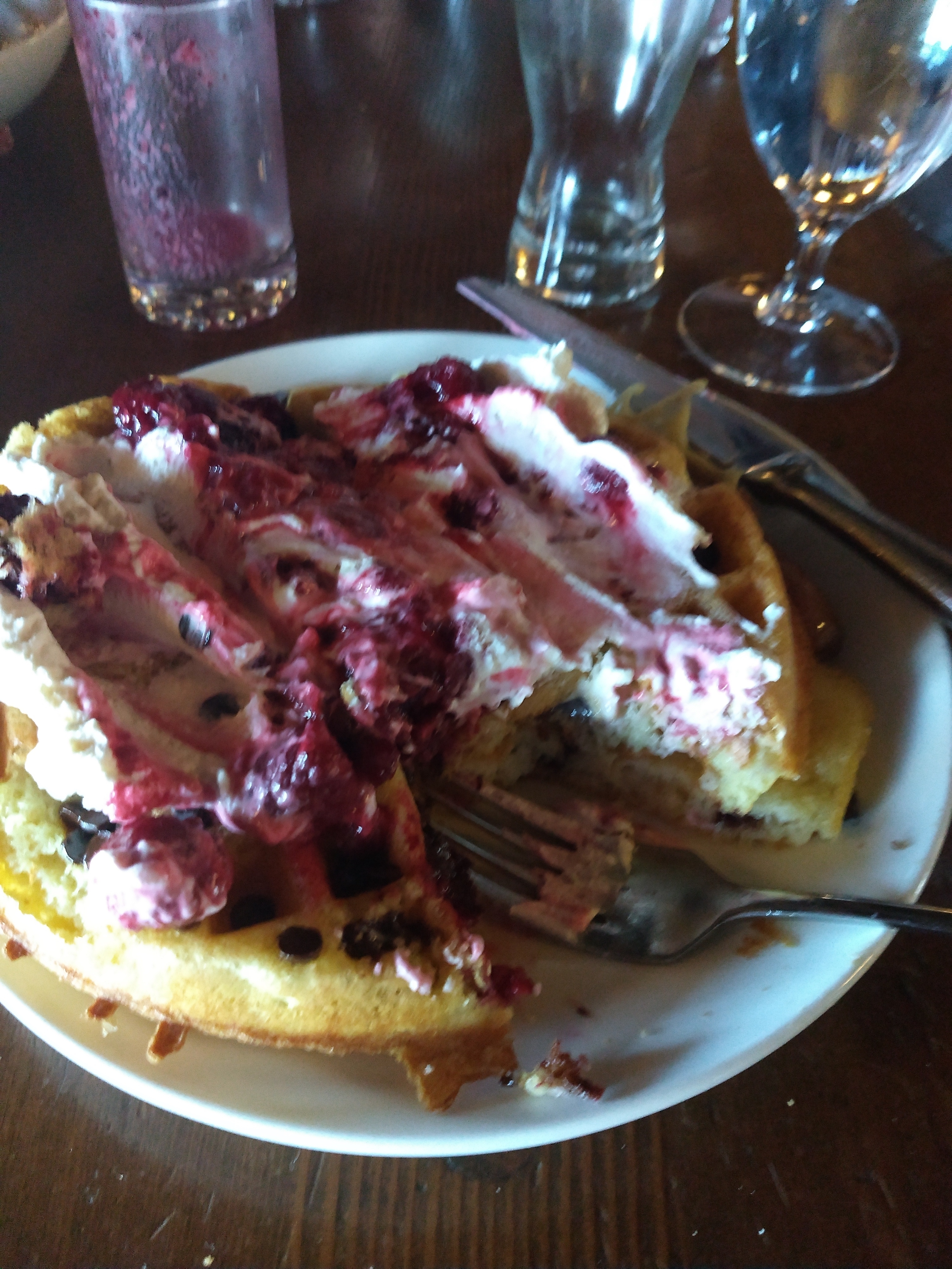
Fuck your Wheaties, this right here is the breakfast of champions!
That had even me completely tapped out, and my plan to hike out at 10 was forgotten in the haze of a full belly and fancy, soft furniture. Finally, at 1, I make my way down the sandy shoulders of magnificent Mt Hood. After the first descent the trail became distinctively flat and much easier, but I could still feel my waffle/pancake monster like a bowling ball in my stomach and progress felt slow. I somehow made it 20 miles to Timothy Lake, a preview of the kinds of miles I would find myself capable of in this beautiful state. The next day was again largely flat, but a new trail challenge has reared its head in Oregon: fine dust and sand that sinks through shoes and socks to tear up your feet. I stopped a few times in the morning to change and rinse socks in an attempt to prevent new blisters coming up.
But then, at 1pm, I met a NOBO who told me there was trail magic another 20 miles up the trail at Olallie Lake. So, naturally, I started hauling to make it there by dinner. I started getting good views of Jefferson and got real excited. Just before arriving at the lake, I saw three super adorable little foxes! But, as often works out, the magic had evaporated earlier in the day and I ended up drinking Coors and eating out of a ziploc bag at a lonely campsite.

Views like this from Olallie Lake make the big miles go down easy!
I left Olallie late, but excited to traverse another huge volcano. As warned, I had some snow on the way up Jefferson but it was nothing technical, just a bit slow. I got to see Mt Hood again before dropping down for lunch in the insanely beautiful Jefferson Park. I sat and swam at a lake adjacent to the one being used by the tanker helicopters fighting the nearby wildfire. As I hiked off the mountain, I caught several glimpses of just how close to the trail that fire had already gotten.
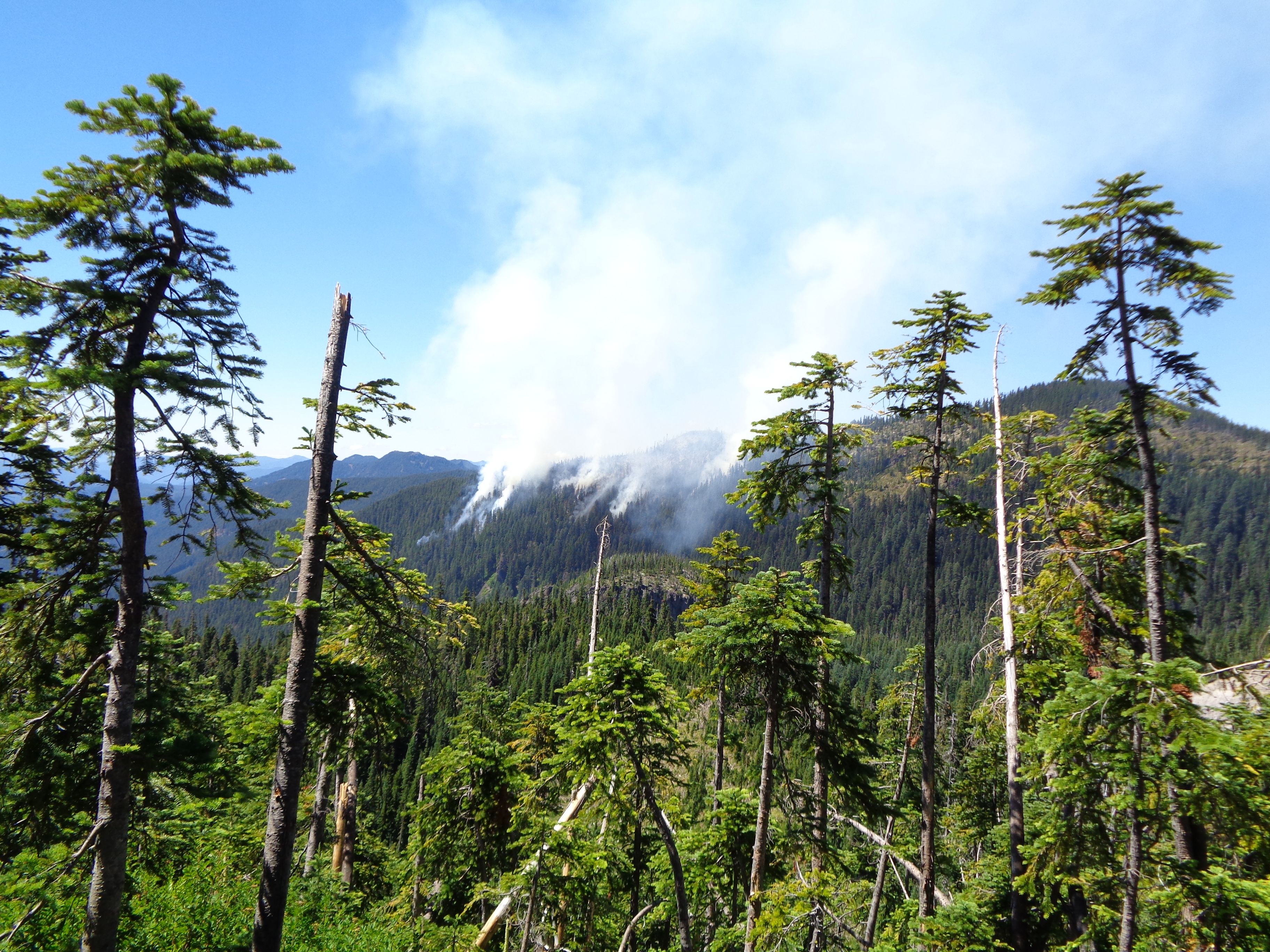
This was one of those… uncomfortable moments.

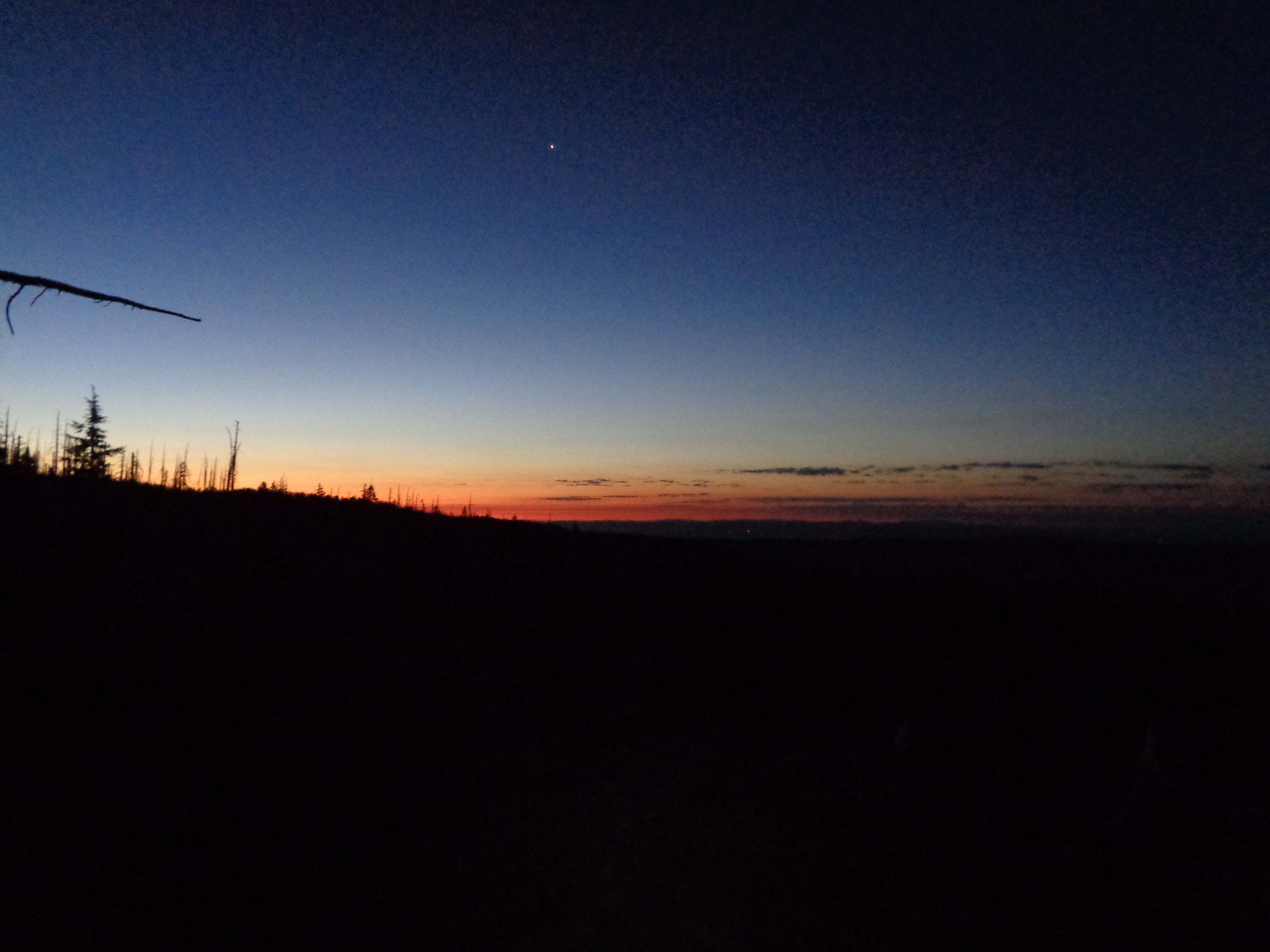
I dry camped that night on top of a ridgeline. This is something that I’ve been doing lots recently, a move that pays off every time. Views of the mountain you just spent all day hiking around glowing in the sunset are a satisfying way to end the day.

I like to get to town early in the day. So, what to do when you start the resupply day 18 miles from a road? Start hiking before 5am, obviously! My sunrise hike to Santiam Pass was a quiet and peaceful one. I returned to the only stretch of the trail I’ve ever hiked, around Three Fingered Jack. It’s funny how different a mountain looks in perspective when you hike 500+ miles to get there vs a short weekend loop.

Bend
My time in Bend was, well, weird. I caught a hitch with two NOBOs in under five minutes, and we made the 45 minute trip to Bend crammed in the back seat of a small BMW sedan. It was…smelly…to say the least. We got dropped off at REI where I picked up some new socks and lots of sideways looks. It didn’t really feel like a hiker place, so I quickly moved on.
Bend is a big town, which means lots of walking. It also means tons of good beer! I recommend a stop at Crux at the very least. I can’t necessarily recommend the Motel West, where I got a very expensive, small room. Instead of going to the laundromat, I spent the money on Taco Bell (and resupplied my hot sauce packets, duh) and “washed” my clothes in the sink.
In the morning I mailed resupply boxes to Shelter Cove and Crater Lake. On the way out of town I stopped at a fancy market and got a big fresh deli sandwich and washed it down with another beer. I had been having fun, but the size of the town and it’s distance from the PCT had me a bit on edge. I stuck my thumb out a few hours earlier than planned, but I was ready to get back to the comforts of trail life.
Santiam Pass to Ashland
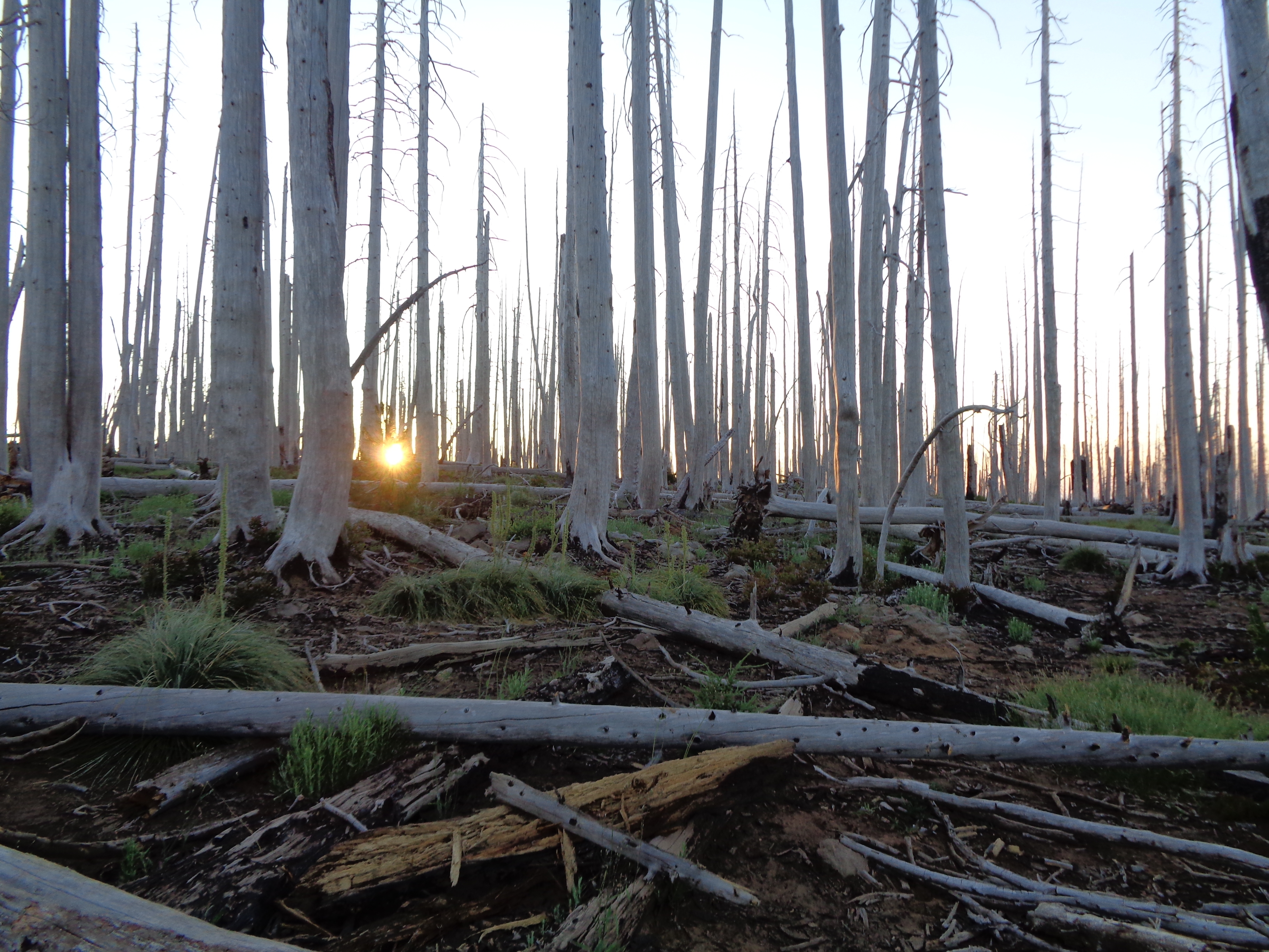
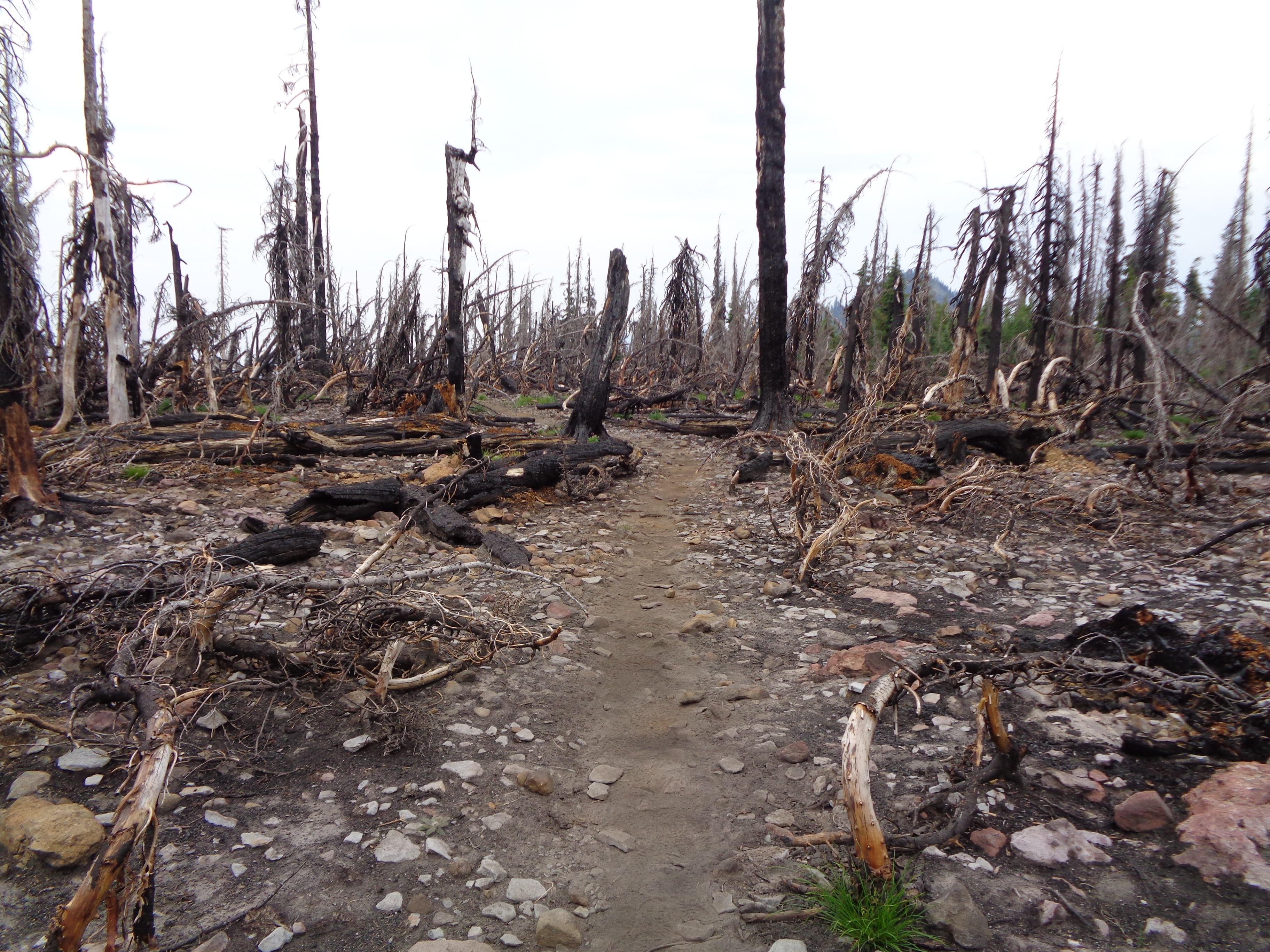
Leaving Santiam Pass is a hot, sandy affair. After miles of walking through the loose soil and snag trees of a huge burn, I took a nice rest at the Big Lake Youth Camp. I hear the meals are excellent, but I couldn’t stay. I was aiming for Lava Camp, south of McKenzie Pass, and there was some amazing terrain in between. Rolling fields of pumice made the trail look positively Martian, but were a real strain on the ankles. Rolling through camp late with my headlamp on, I got some great trail magic from a group of friends up for a few nights of vacation.


I crossed more lava in the morning, and was rewarded with very smoky views of Jefferson and Three Fingered Jack. The Three Sisters Wilderness is a fantastic walk, full of evidence of volcanic activity and lots of flowers. It was also the site of a brief trail-cation to see my friend Squints from the AT. We spent a beautiful night below South Sister at Moraine Lake, about 4 miles off trail.


I stepped up my miles big time in Oregon. The terrain is much flatter than Washington’s, and doing 30 miles in a day became the norm. Unfortunately, my feet were a bit behind the curve, and I spent several evenings popping blisters that had formed under sometimes TWO layers of calluses. If you haven’t had a blister under a callus, I recommend you do everything in your power to avoid this painful phenomenon. But, with big miles come big smiles. I was impressed with myself for how much ground I could cover in a day, and I frequently rewarded myself with refreshing swims in the plentiful lakes of Central Oregon.

Bobby Lake, by far my favorite hiker bath so far!
And sometimes I took short days. I stopped at a cool ski cabin after just 20 miles because I didn’t want to get to Shelter Cove late in the day. This place had solar powered lights inside! It was a great place to spend a lazy afternoon. I was even moderately clean after a lunchtime swim and trail laundry at Bobby Lake.
Shelter Cove had a powerful vortex. The hiker special burger was amazing and actually filling. I hung out with a huge pack of NOBOs and wasted the day away. So much for grabbing my box and going! I also met a section hiker from Ashland, who would become a very important figure in my life over the next week. Too hiker trashy to pay for a campsite, the NOBOs and I crossed the road onto Forest Service land and tossed back some beers before bed.
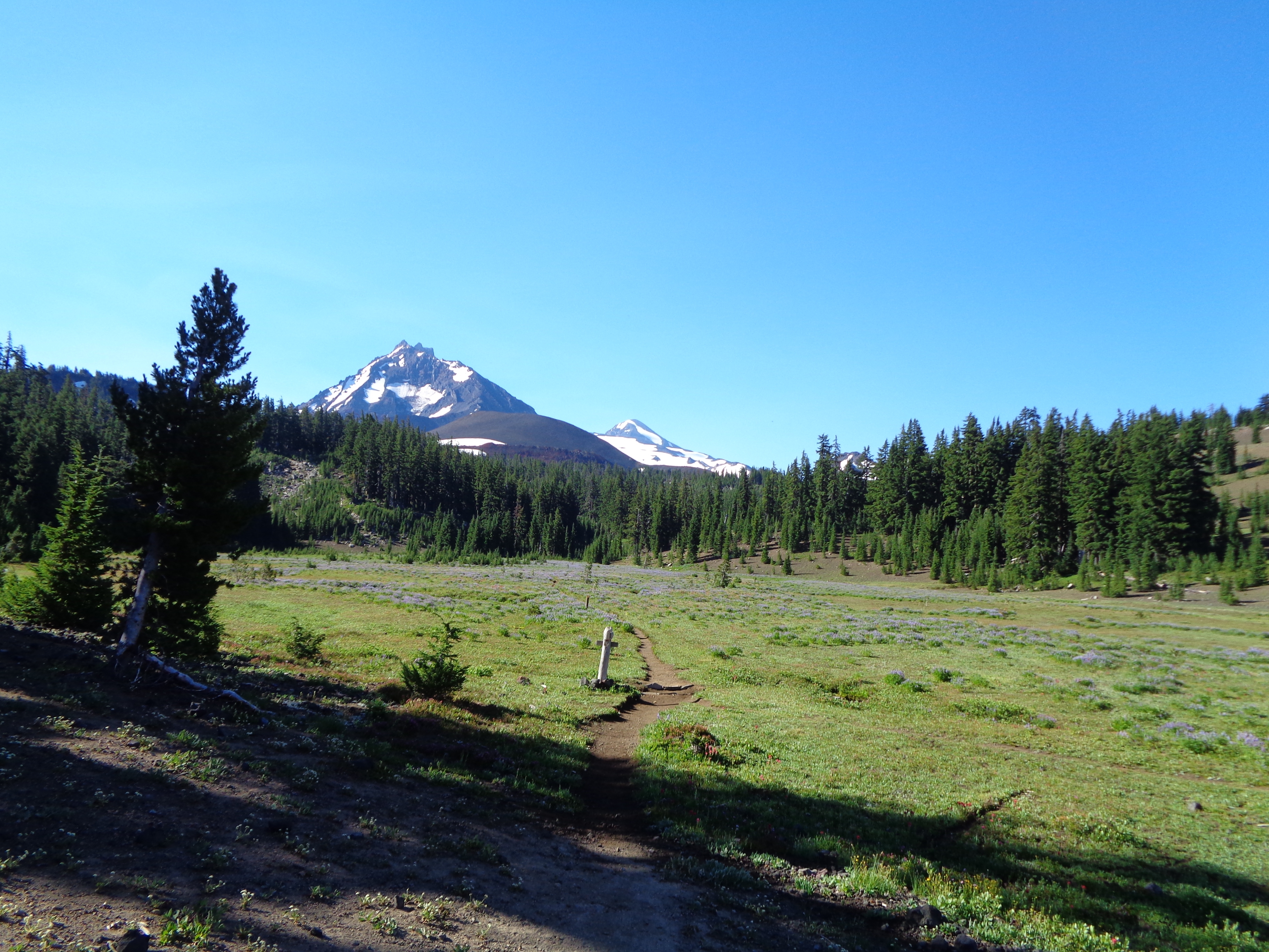
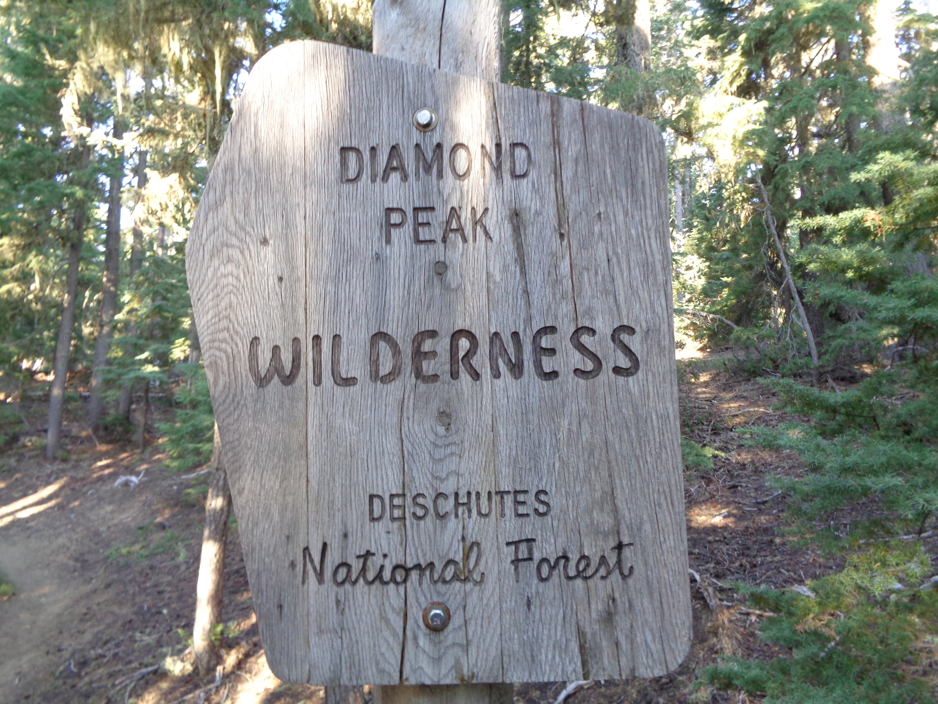
Walking around Diamond Peak the next day, I had some nagging nausea that I couldn’t figure out. It wasn’t enough to distract me from the beautiful mountain or show me down much. There had been a fierce hear wave the last few days, so I figured it was just that getting to me. I even stopped for an uncharacteristic afternoon nap on my way up a pretty small climb. It was nice to camp at a water cache that night and not worry about staying hydrated.
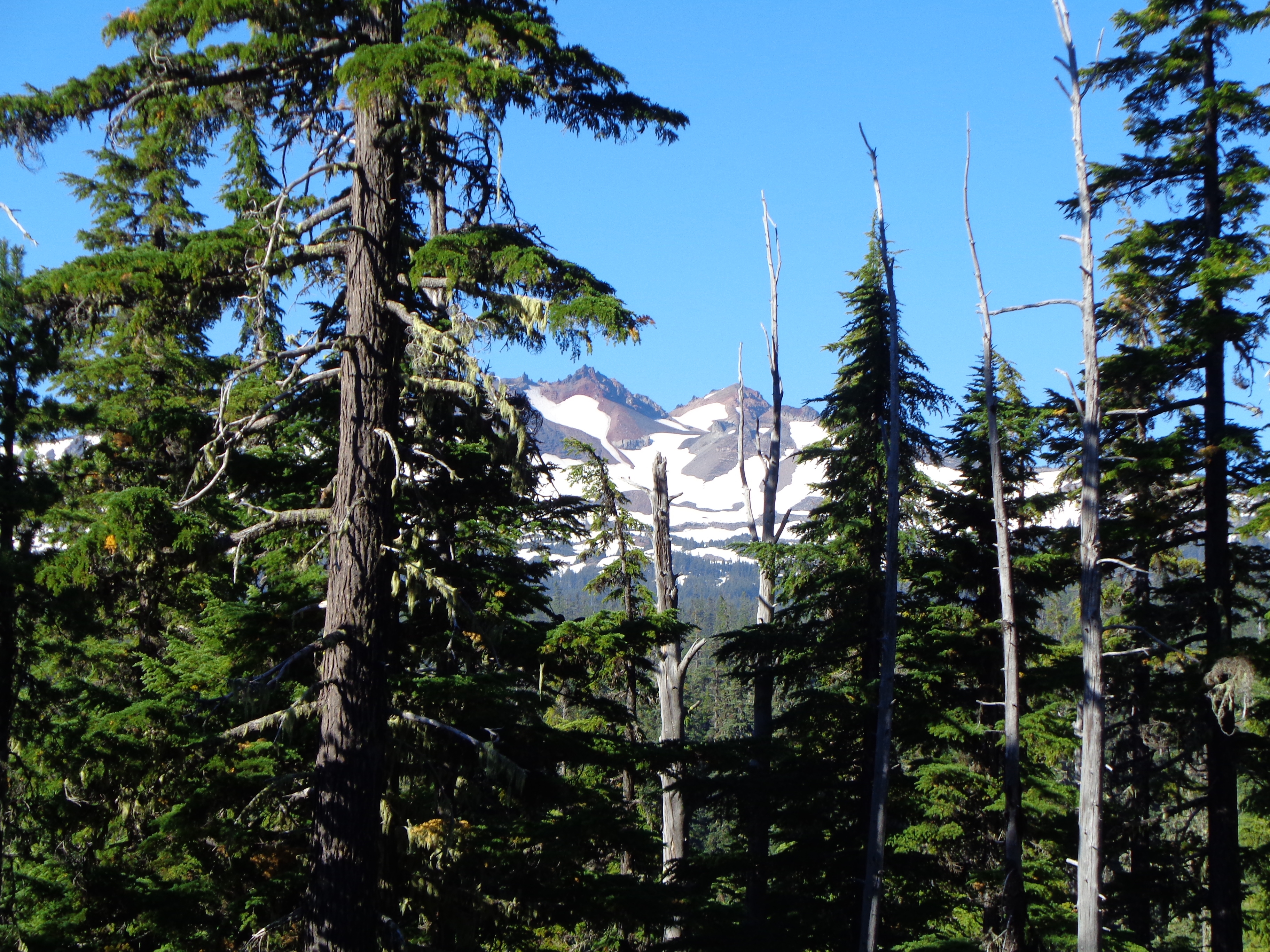


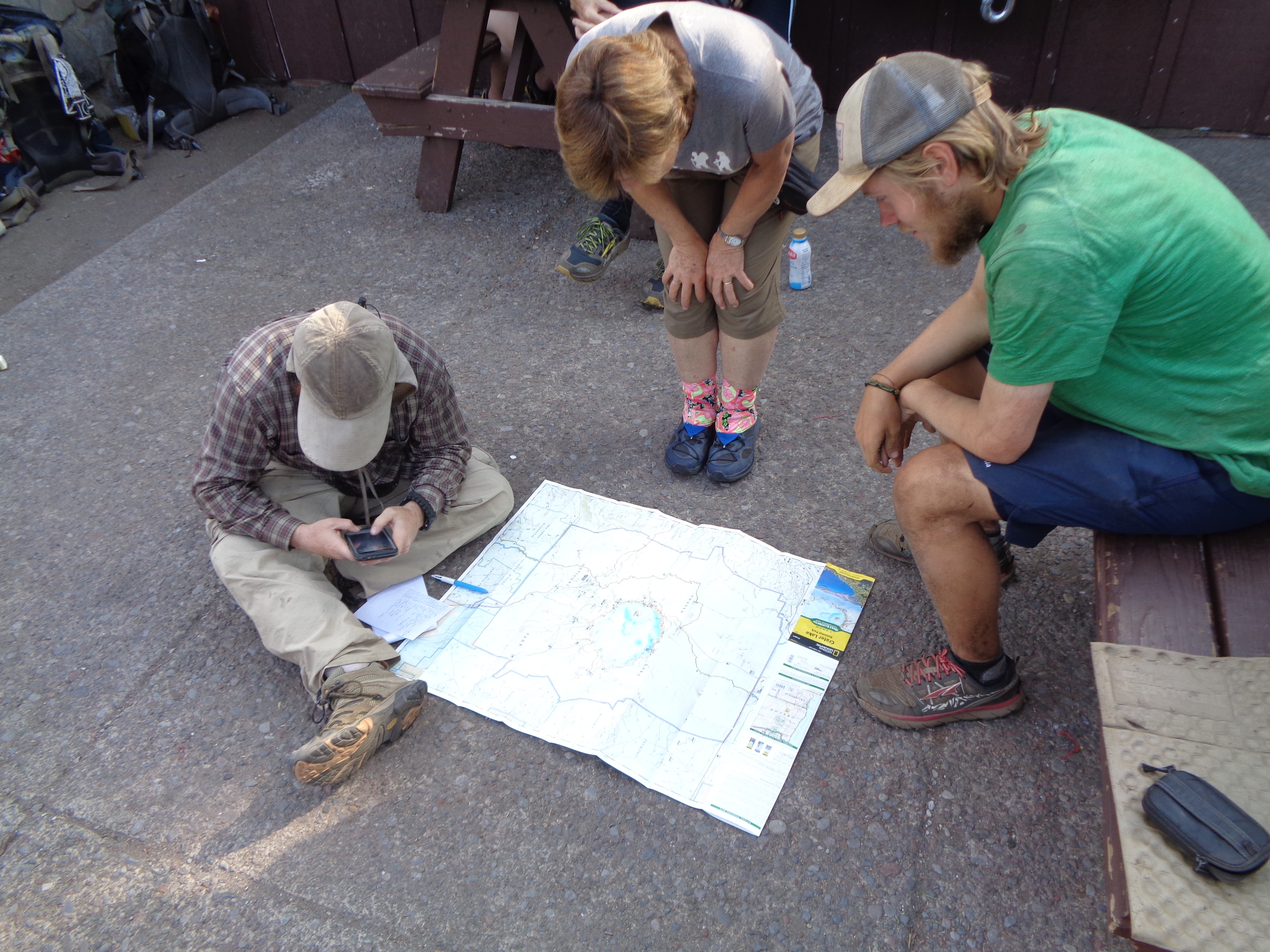
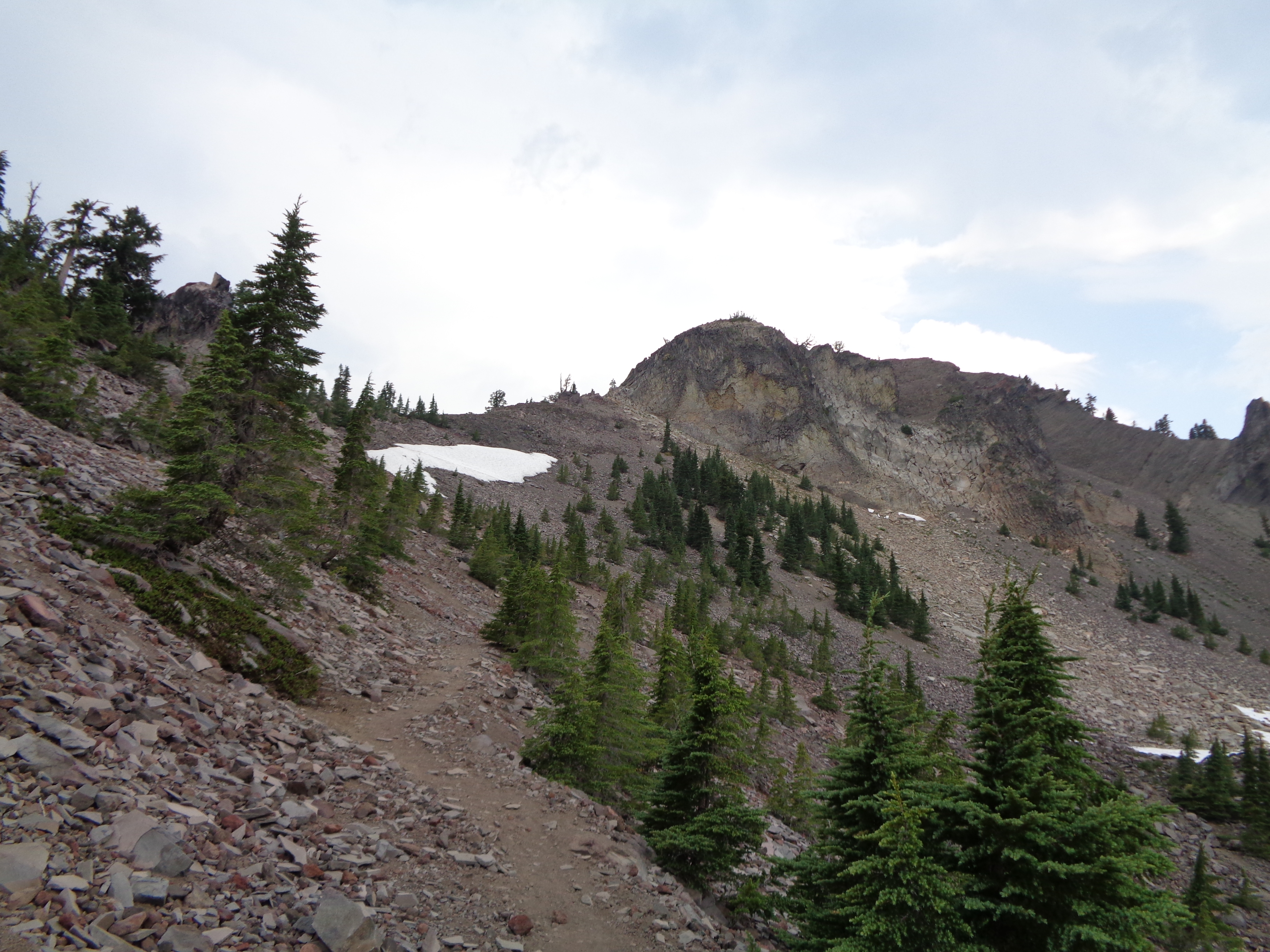
Word of a wildfire near Crater Lake had me motivated to keep hiking as much as possible. I had one more full day to do, then I’d be there. This was a pretty dry stretch, so I was loaded down with lots of water. On the way up to Mt Thielsen, my usual appetite has been nearly completely replaced by nausea. I crossed the highest point on the PCT in Oregon and Washington, which was sadly a very boring place. On the other side, I was encouraged by up close views of Thielsen’s sharp peak. At Thielsen Creek, I collapsed, exhausted, and literally fell asleep in the dirt. I had only consumed maybe half of my usual daily calories at that point and was feeling it. I struggled the last 8 miles to another water cache for another 30 mile day. It was there that I learned that all hiking trails on the West Rim of Crater Lake were closed.

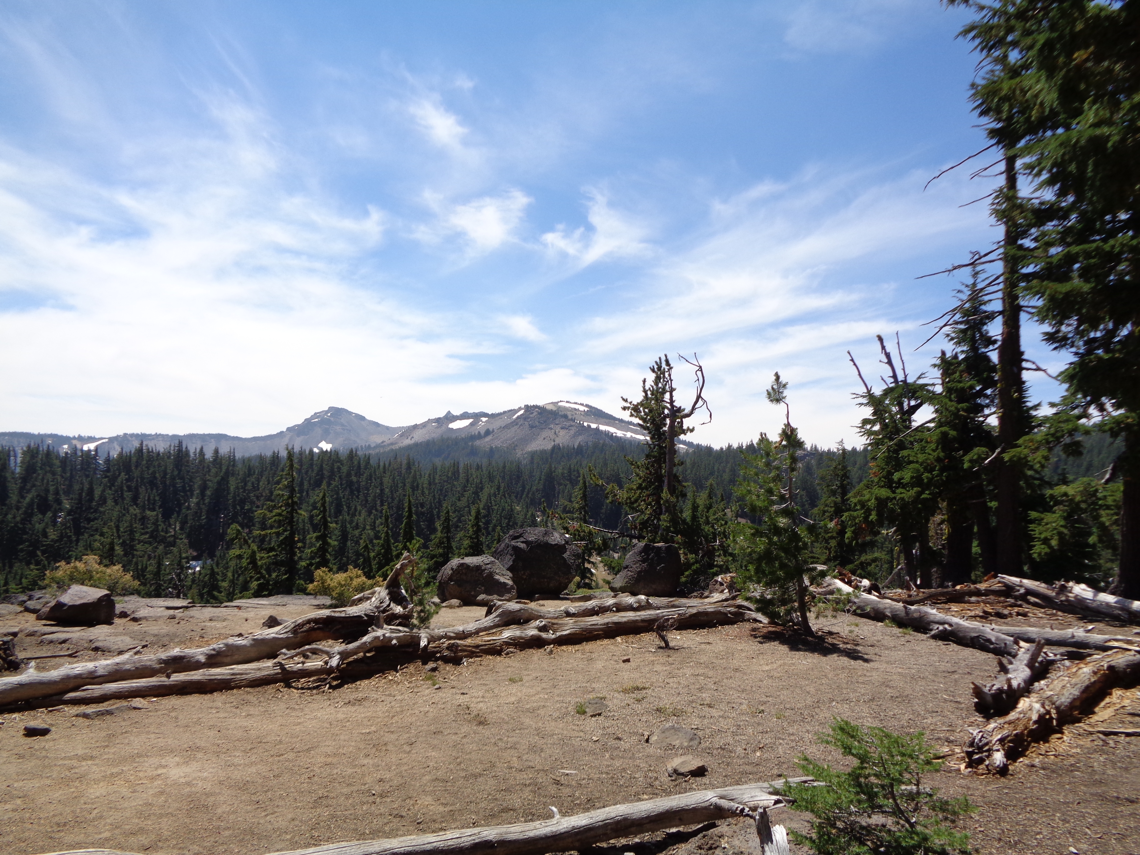
I woke up still feeling pretty shitty, and knowing I wouldn’t get to hike the rim didn’t help my mood. I pressed on through thick smoke the last 8 miles to North Junction where the closure began. Caught a hitch to Mazama Village and we stopped for a few “views” on the way. They were disappointing.

Wizard Island, are you there??
Unsurprisingly, there was a huge stack of hikers at the village trying to make alternate plans. To complicate matters further, the Blanket Creek fire had closed another chunk of trail just south of the park. Some elected to take the long roadwalk to maintain a continuous footpath, but many like me decided to find rides around the closure.
I had started to feel slightly better while sitting around, and went over to the restaurant with a NOBO named Stats to try to get a full meal down. I got about four bites in before almost throwing up. Back at the store, I finally solved the puzzle. Someone from the park told me that nausea was a common symptom of smoke inhalation! It made perfect sense that I should feel like shit after hiking back to back 30s through dense smoke. Turns out maybe that’s a bad idea.
The next morning a trail angel shuttled me to the 7 Mile Marsh trailhead, which would take me right to the southern end of the closure. I still wasn’t feeling 100%, but knowing that I wasn’t sick was reassuring. I walked along a cool ridge, but in the afternoon some thunder started rumbling and I booked it to camp. Luckily it never got worse than a few sprinkles, but I slept in my tent that night anyway. My appetite was starting to return, and luckily I had tons of food due to the unanticipated detour. I slept very well.
With newfound energy, I put in another freaking big day. I had 15 done by lunch and was feeling great. In the afternoon I got vortexed at a water cache with a cooler full of ice cold soda. Nothing can describe that amazing, cold rush of sugar and caffeine. There, I heard about a section hiker and his little black dog who were planning to camp where I was aiming for as well. That tickled a memory in the back if my mind. As I arrived, tired and sore from a 35 mile day, I recognized Chris as the hiker I had met way back at Shelter Cove. I had been ahead of him, but he got around me while detouring attend the fires. I told him I planned to zero in Ashland, and he offered to host me on the second night after he finished his hike!


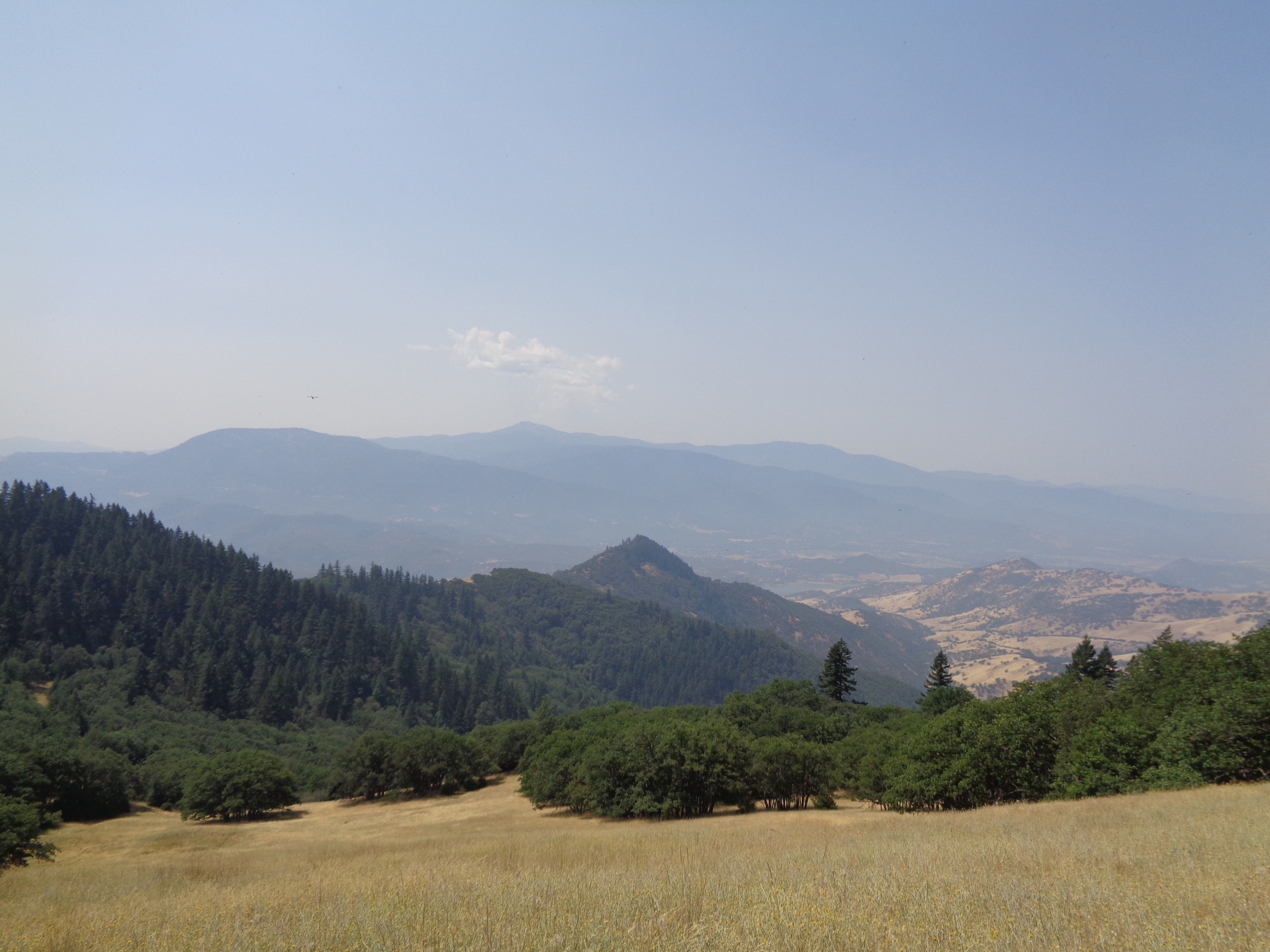
My last full day before Ashland felt a bit like hiking the AT through Central Virginia. Lots of timing hills, pastures, and even a few fence gates! The pastures were hot and full of prickly plants, but offered some cool views of the Rogue River Valley. Just before the end of my day, I finally caught up to Norsman, a SOBO I had been hoping to meet. We say for a while sharing stories. Finally, someone else who had seen the North Cascades blanketed in snow and shared some of the same trials!


As I finished up the last two miles, I finally got rained on. I mean, this sucker opened up right on top of the trail. Thunder, lightning, and pounding rain make setting up your tent a bit of a frustrating task. Once inside, I tried to keep dry and wet things separated as much as possible.
Finally, Ashland was within reach. I got going early, ready to be dry. I passed Pilot Rock, a really impressive feature, before dropping to the valley. I made it to the road around 9 and headed straight to Callahan’s, a hiker-friendly hotel that offers adorable camping, cleaning, and meals. After getting settled, I started the process of getting clean. I hadn’t alerted since Bend (12 days) and my clothes hadn’t seen a laundry machine since I was in Cascade Locks nearly three weeks prior. How good do you imagine I felt, sitting around in a soft bathrobe while my clothes rumbled around in the drier!?
Around lunch, Norsman arrived with two other SOBOs, Rapunzel and All Day Err Day. I spent the afternoon drying gear and getting organized for the next stretch so I could do as much relaxing on my zero day as possible. Dinner at Callahan’s means all you can eat spaghetti. Which means a lot. And hikers feet a free beer! This place is a real gem. Norsman and I hung out with NOBO Uncle Jesse for a while before I retired to my tent.
Ok, that’s enough.
This is a huge post, and if you made it all the way here I really appreciate it! I’m super behind, and I’m gonna work hard to catch up. Stay tuned for zero day adventures, the end of Oregon, and a mind-shattering introduction to California. If you’re dying for more, my Instagram (@henriehikes) is usually a bit more up to date.
I’m currently in Mt Shasta. I’ve crossed my last state boundary, I crossed the 1000 mile mark, and now I’m less than 200 miles from halfway! Hard to imagine, hard to describe…

This website contains affiliate links, which means The Trek may receive a percentage of any product or service you purchase using the links in the articles or advertisements. The buyer pays the same price as they would otherwise, and your purchase helps to support The Trek's ongoing goal to serve you quality backpacking advice and information. Thanks for your support!
To learn more, please visit the About This Site page.
