PCT Day 6 – Belden Town
If a Brinks truck pulled into your yard one night and parked, and you knew the guards were going to sleep there, would you go down later and see if there was any spare money laying around. Brinks trucks have been coming to your area for years and many of them leave money on the ground or hanging in trees, free for the taking. If you would investigate the truck, then you know why bears, deer and mice visit my campsite every night. Last night I was careful to leave no “money” out, but they came by to check anyway.
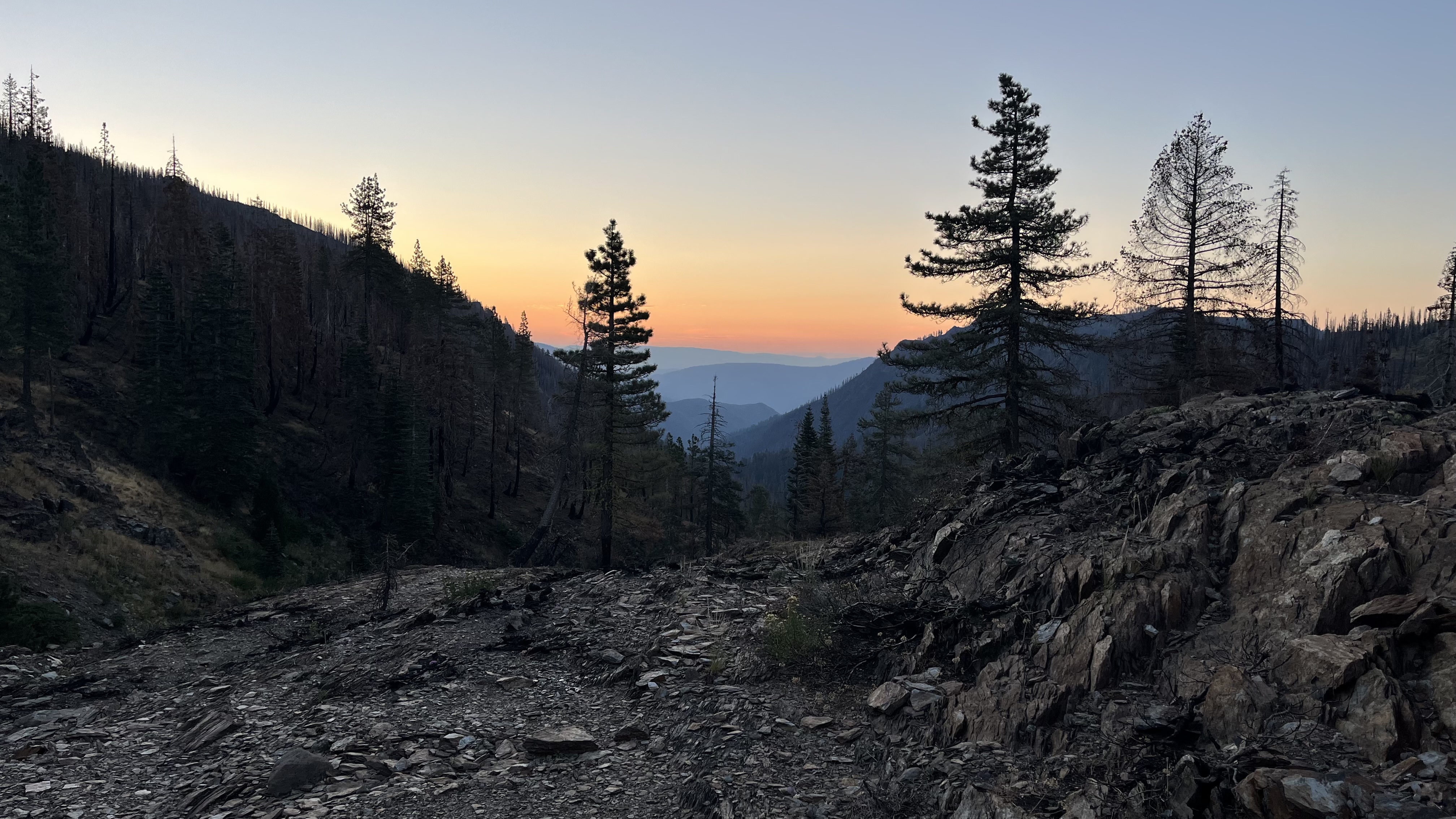
The trail ahead
I was fortunate to find a campsite two miles beyond my planned stop yesterday. I am now 2 miles closer to Belden Town where I hope to get some town food and evaluate my next move: climb out of town or spend the night. There is a small campsite 6 miles up the trail from town. If I stay there Quincy will be within east reach the next day.
The climb out of Beldon is on of the hardest on the whole PCT. Here is the elevation profile on my mapping program.

I will hike down the mountain on the right side this morning, a descent of over 5000 feet. Belden is at the bottom of the slopes. Then I must hike back up 5000 feet on the left. The blue bubbles are possible water sources. Both sides are exposed and temps in Beldon will be in the high 80’s.
Down we go
The early trail is beautiful, per usual. For the most part though I go through heavily wooded burn. The temp is 60s when I start but rises quickly as I descend.

I am delighted to see that trail crews have been out. Their tools are still here, but they are not. This section of trail has been pilloried for many years as one of the PCT’s most neglected sections – steep, uncleared and broken. There may be good reason for this neglect, but it is not good to see this attention.
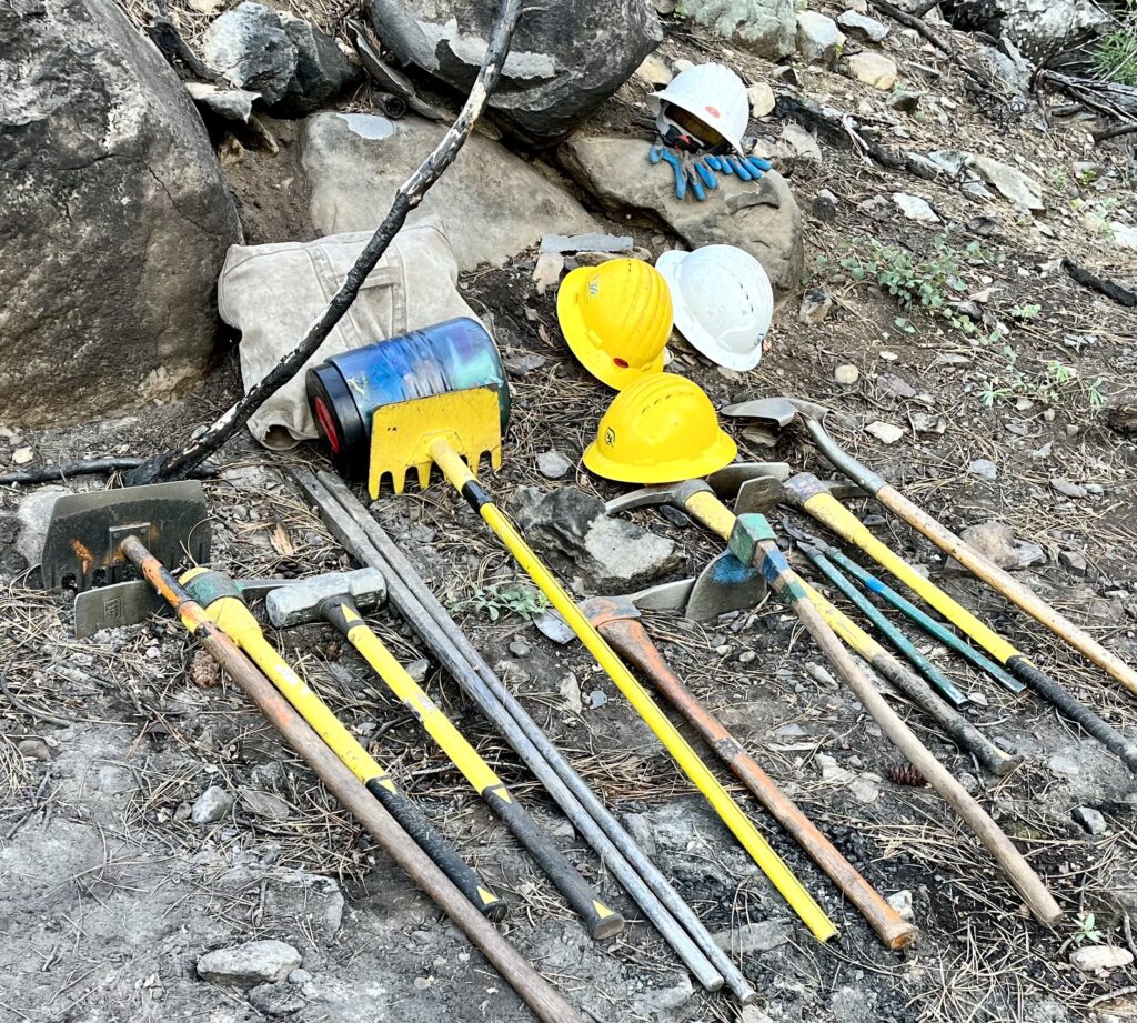
Tumblers
Mountain water sources are inscrutable to me, almost magical. When there is no more snow to melt, what forces push water to the tops of mountains so it can gush out of the ground and rush down into ever-widening creeks. Perhaps I should not look a gift horse in the mouth. There is water everywhere on the trail tumbling down rocky spillways toward Chips Creek and then into the Feather River near Beldon Town.
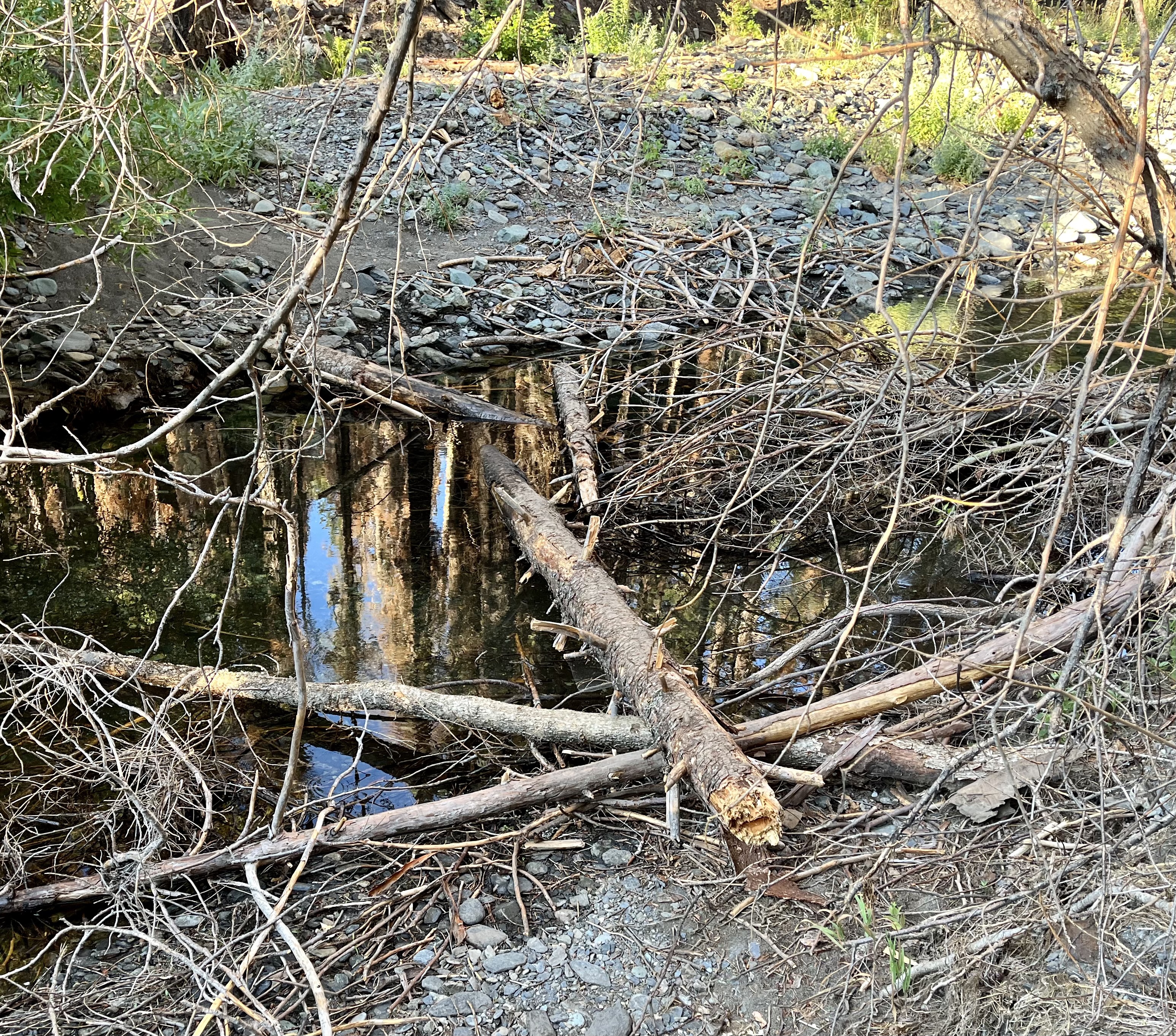
Getting across these little streams is a pleasant puzzle sometimes. Here is one crossing where a jumble of brush and logs is all there is. There may be something better to the left or right, but this is where the trail crosses.
And then sometimes you get a Cadillac. Look at this beautiful bridge. It’s such a joy to cross. A sign says it was built in 2020. Somehow they saved it from the fire.

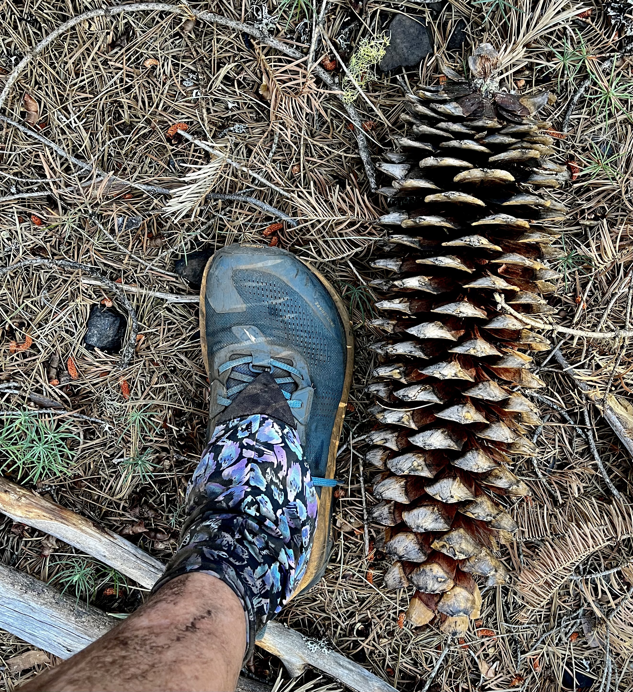
Ever been hit in the head with a falling pine cone? Or have you ever thrown one at someone? Out here, pine cones are a serious matter.
Could a crossing be more perfect. A nice row of flat rocks makes me look like I know what I’m doing.
The heat is on
I have been hiking for about three hours when I reach this opening area that allows me to look down the ravine toward Beldon Town. I know immediately that I will not be hiking out of Beldon today. The heat is invasive, like desert heat. It needles my skin and the sweat responds. In no time, the back of my shorts are soaked and dripping down my legs. Find shade, my body says.
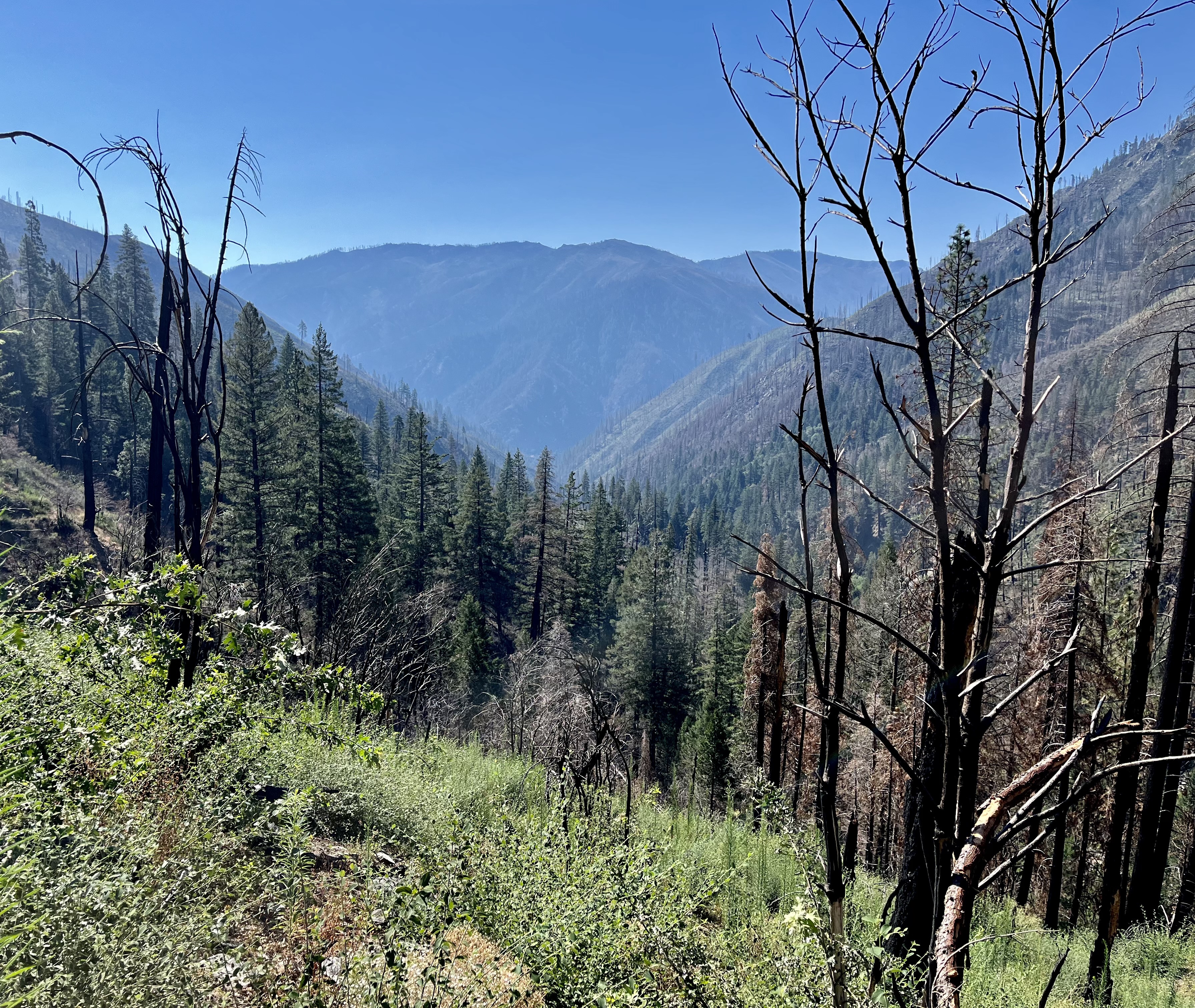
Gradually the blacken tree trunks thin leaving no place to shelter from the sun. The grass and flowers that lined the trail are replaced by scratchy weeds and thorns.

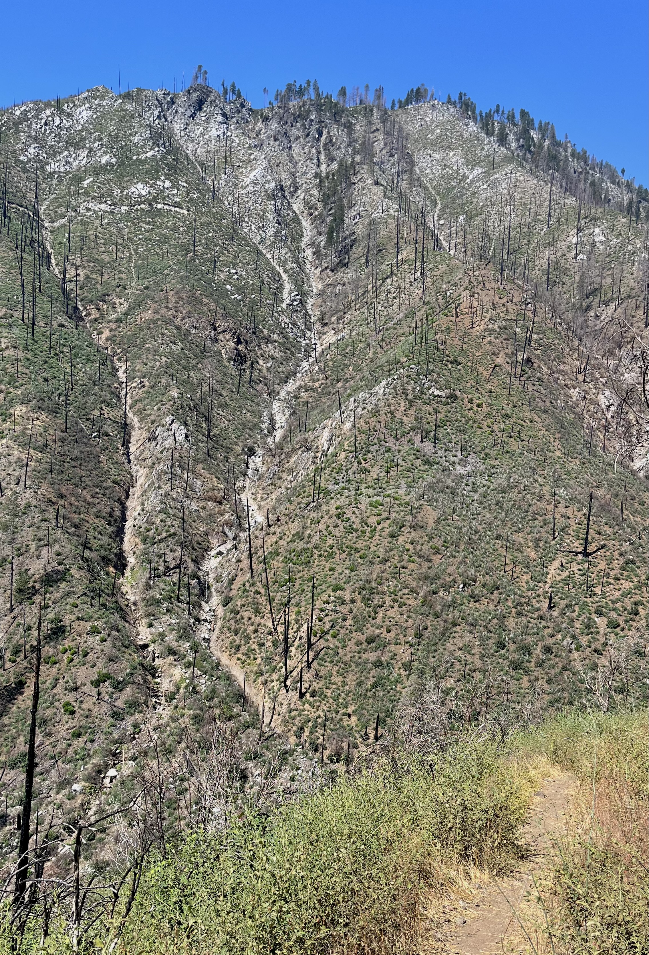
It’s kind of cool when you can see the trail ahead around the bend. But when there is nothing in the way, the sun is free to treat you as it will. And today it wants to warm me up.
All is not lost
Maybe I am being dramatic here. The message from the sun is that 11 miles of hiking today will be enough. It is good to know that sooner rather than later. I don’t have to fret about it now. The trail still manages to make me smile. First, in the bushes on either side of a small stream are these gorgeous red flowers.
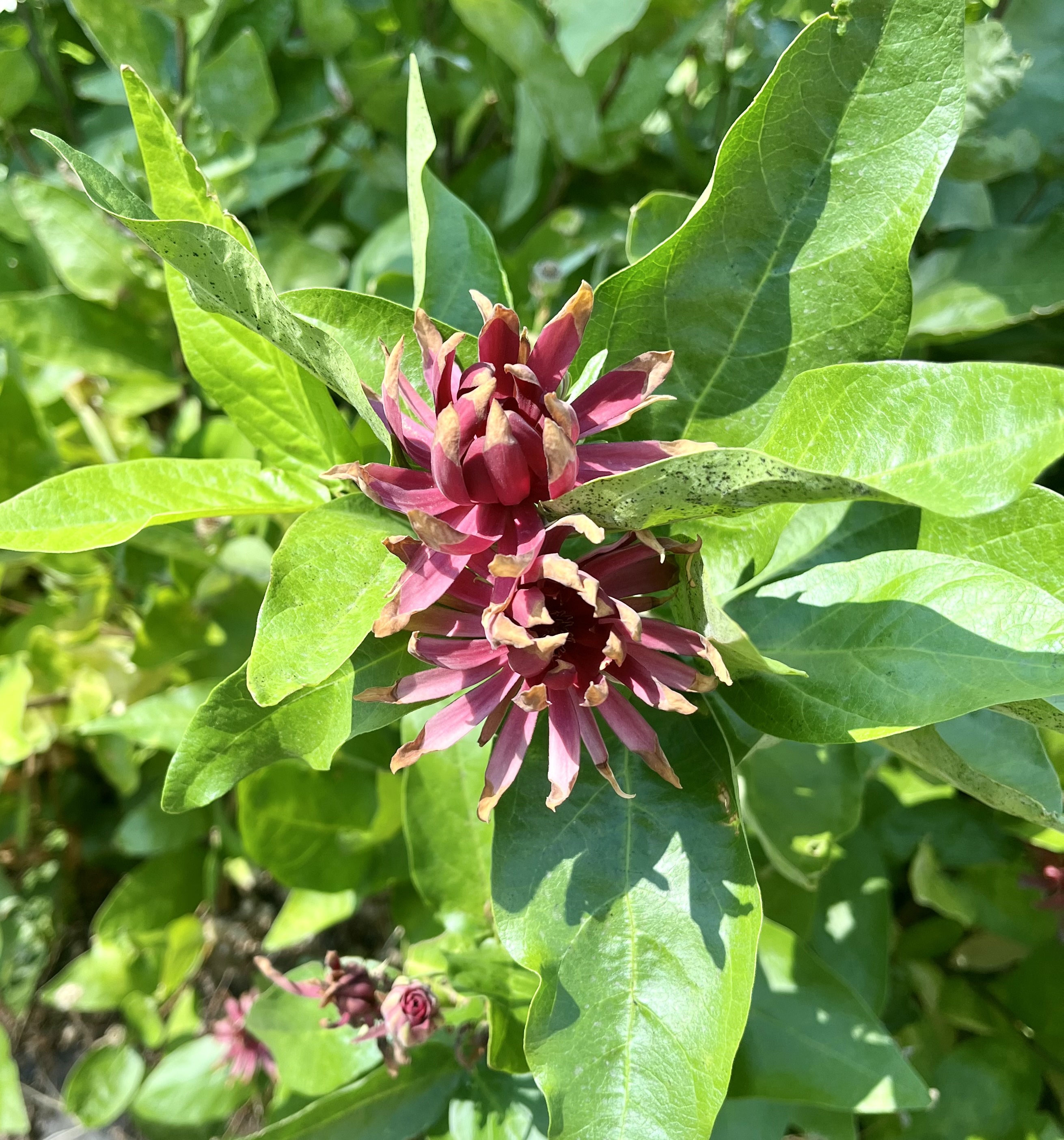
And then near the bottom I find a bridge that did not survive the burn. The stone structures on the ends of the bridge survived, but the middle has fallen into the water.

When I cross and scramble up the other side, I see a sign that reads “Riders dismount before crossing” This sign was obviously posted by a horse! “Yeah, cowboy, you go on ahead. I’ll be right behind you…Nope!”

New friends
Finally I can see my destination along the river: Beldon Town resort. It has a restaurant and rooms. I do not intend to get a room, but after talking to Bob, I change my mind. If getting out of town ahead of the heat is a priority, a room would make that easy. I could be hiking at 5am without all the fuss of breaking camp in the dark. Besides, these little resorts are fun.
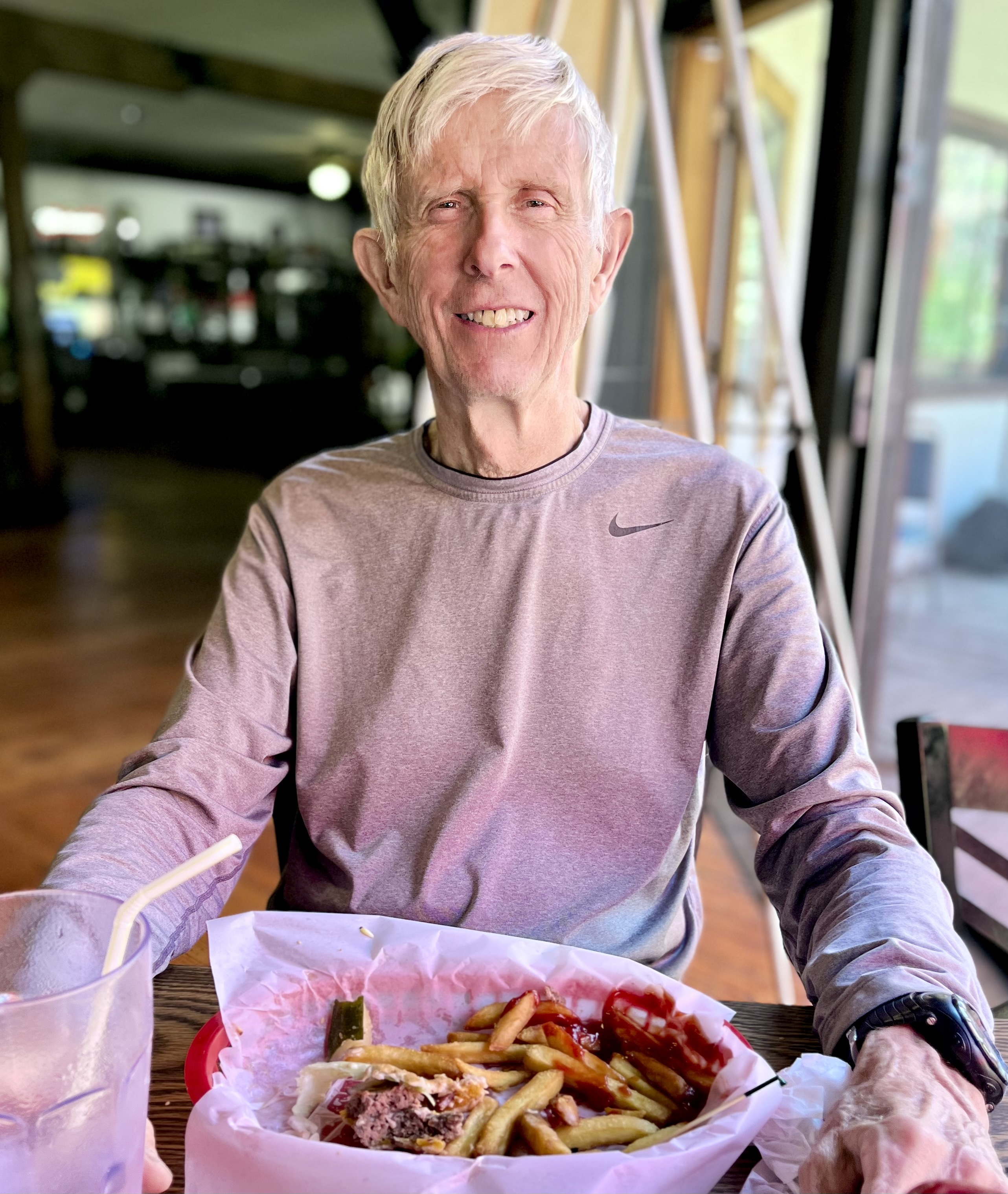
Bob has thru-hiked the PCT before. Lately he has been hiking it in sections. He is Sobo like me and heading to Mount Whitney in the Sierras. He is not stopping in Quincy in two days as I am, but perhaps we will see each other again along the way.
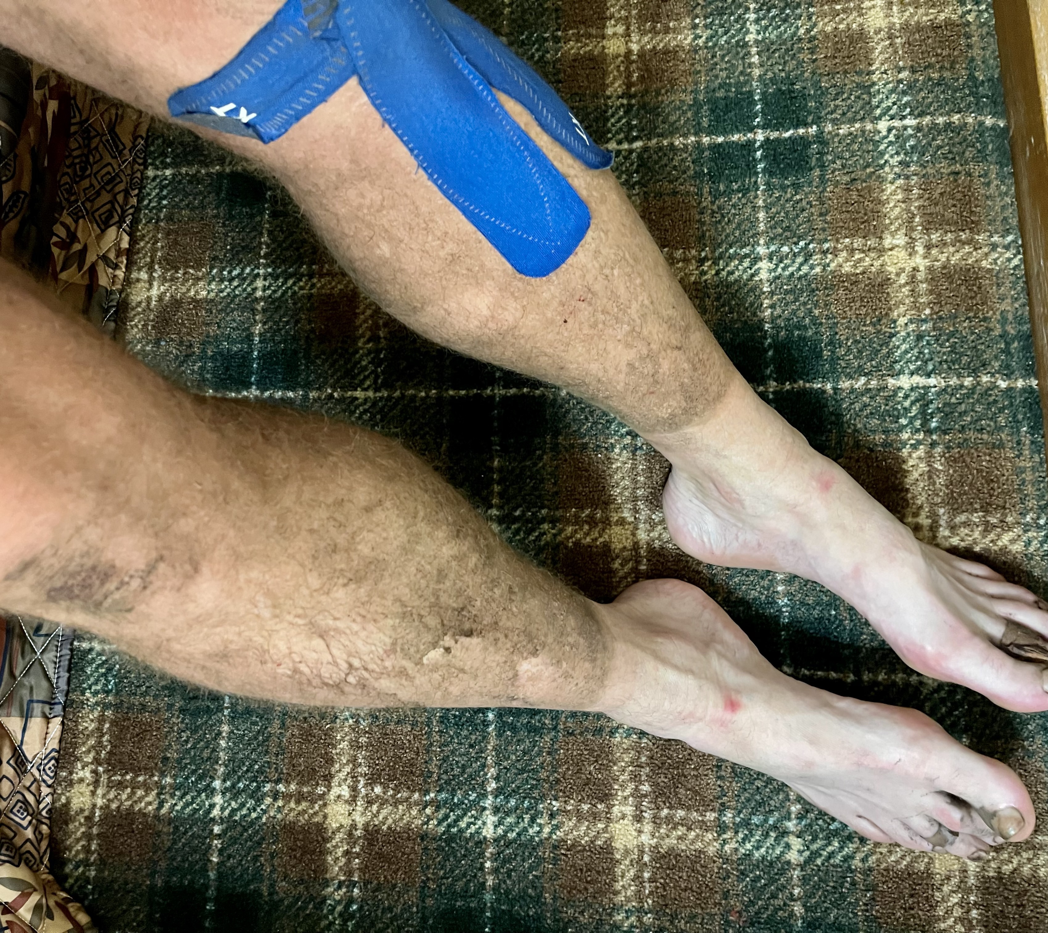
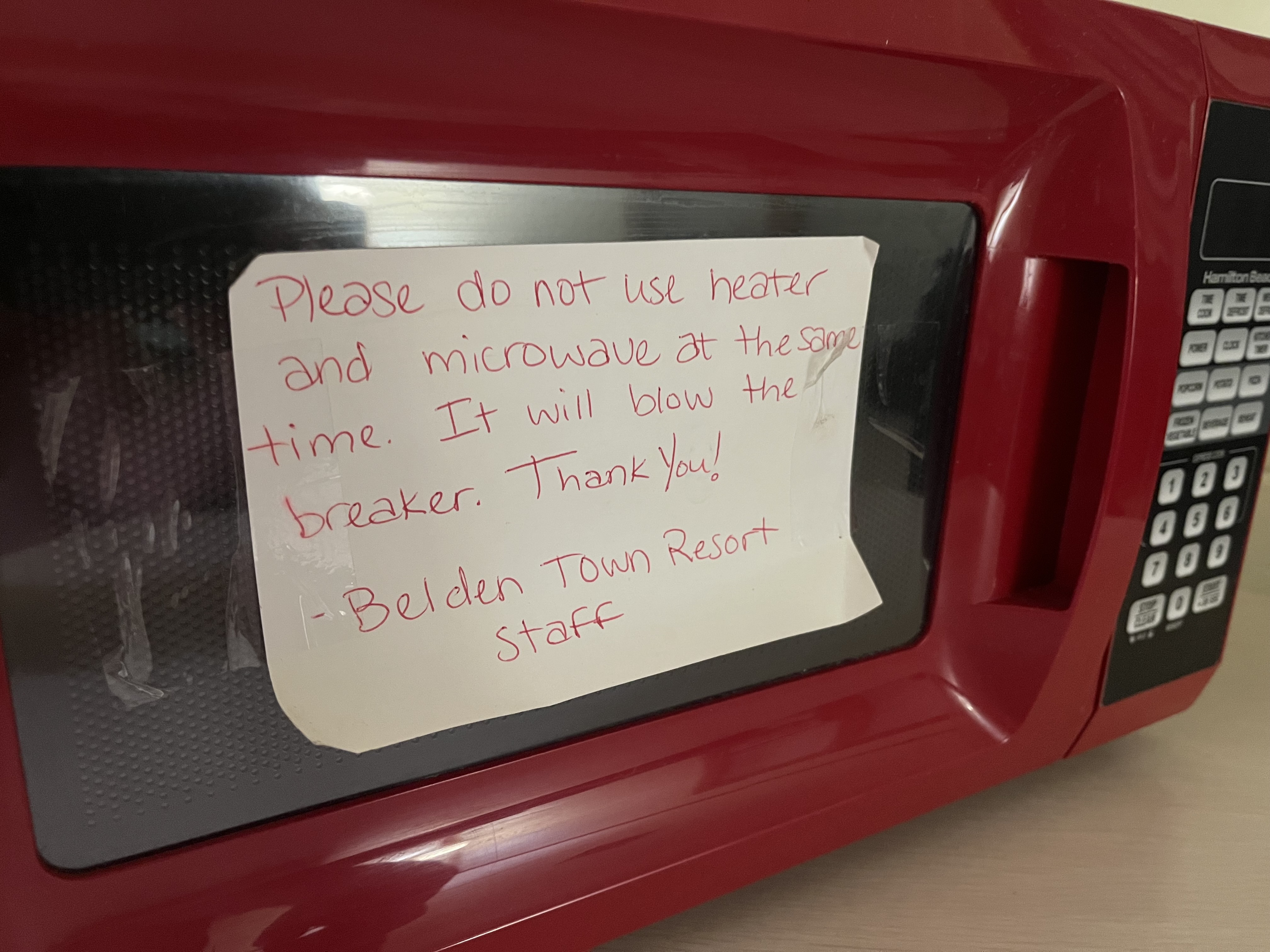
Just for kicks, I check the hiker box for some free goodies. What I find makes me laugh harder than anything I have seen on the trail so far.
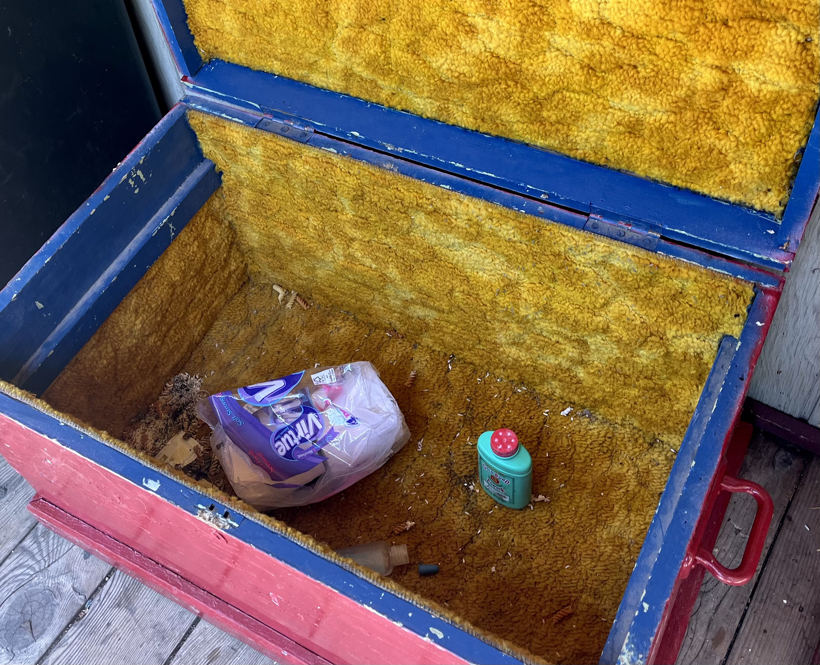
You can see the trail across the river from my room. Glad I am not out there now.

There are other hikers here too. One begs me to use my shower. I give in. How could I not? Then he asks if all his friends can shower too. (Gulp) “Of course, but how many are there?” “Oh no more than five.” “O-Kaaayyy. But please don’t make my room shower central.” “Oh no sir, I won’t tell anyone else.” I wonder if I did the right thing.
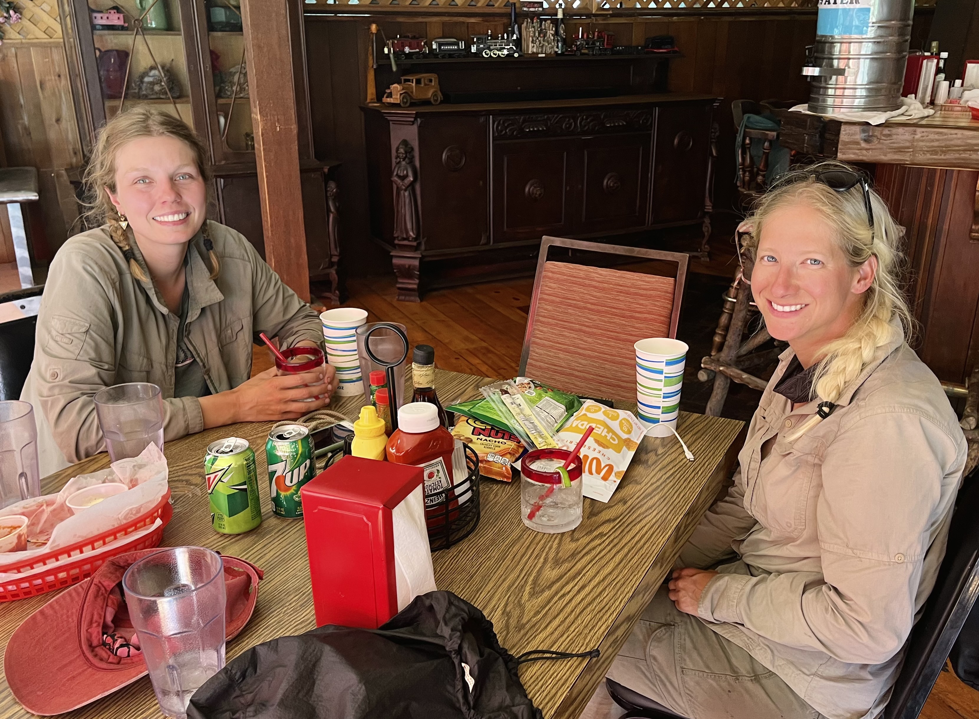
It turns out that two of the “friends” are in the restaurant when I go down later. I feel bad when they say it doesn’t feel right to use someone else’s shower. They are drinking vodka and tonic. I buy them another round and they by me an ice cream. Pace Setter is from Germany and has just completed her doctorate in food chemistry. Little Plover is from Sacramento. I make a shameless plug for my blog and LP reads all our horoscopes. Mine is all about romantic connections and leaves me embarrassed and confused.
After that it’s back to the room to write and get organized. If tomorrow unfolds perfectly, I will get up the mountain quickly and hike to a camp near the road to Quincy. Realistically, the ascent will be hard and I will hike less than 10 miles after that. It’s that enormous and exposed hill that determines everything right now.
- August 2
- Starting marker: 1297
- Ending marker: 1286
- Miles hiked today: 11
- Uncharacteristic moment: When I asked the bartender for “an IPA” without asking which ones he had. (Yes, Mark, I did that!)
This website contains affiliate links, which means The Trek may receive a percentage of any product or service you purchase using the links in the articles or advertisements. The buyer pays the same price as they would otherwise, and your purchase helps to support The Trek's ongoing goal to serve you quality backpacking advice and information. Thanks for your support!
To learn more, please visit the About This Site page.

