 ">
">
Read This for Pics (Day 47)
Back on the Ridge
It took me 20 minutes longer to get to the top of the ridge on the morning of day 47, compared to the day before when I wasn’t carrying my full pack. It was the way the extra weight messed with my center of balance that made me have to be more slow and careful with my steps, making sure my footing was secure.

Up, up to the moon!
Getting to the top wasn’t as punishing as I’d imagined it would be the second time – maybe now that I recognized the route, it went by more quickly.

A nice clear view of Albert Edward to the south, where I was the day before
Once I reached the series of metal poles arching to the right, signifying the way to Mt Albert Edward, I cautiously turned left to follow the ridge to Mt Jutland. I had low expectations for markers on this less-travelled route. But, I needn’t have worried, as there were quite a few cairns, and even some well-defined trail in place, all the way to the top. I was thankful that I could put my trust in the cairns to lead me safely along, so that I didn’t have to guess about whether or not there was an impassable obstacle over the next hump or around the next corner.

Mt Jutland to the north
I stopped frequently to marvel at the views. I could see the ocean and the coast mountains to the east, and to the west, a jagged skyline of the snow-speckled peaks of the North Vancouver Island Ranges.

View to the east, Coast Mountains, strait, Mt Washington ski hill
There was only one scramble part that had my heart rate elevated; otherwise the hike up Jutland wasn’t terrible. However, I think I kept a little below the ridge near the summit itself, so I never did get a view of Gem lake in the big basin on the other side. That was alright with me, as the contour lines on the map indicated a very steep drop down, and I didn’t want to get freaked out at feeling exposed, up so high. I do love views, but I like to appreciate them at a safe distance – I don’t like feeling like I’m about to launch headfirst into them.
The Other Side
The cairns disappeared (or, I went off route) down the backside of Jutland. That was alright though, because the slope was gentle and clear, so I could mentally map out a route without looking at the map.

Descending Jutland, North Van Isle Ranges in the background
But when it got steeper and the trees got denser, I started to pull out my GPS more frequently. Fortunately, about halfway down, I spotted some flag, and followed it the rest of the way down. Where the bushes hadn’t been cut, at least their branches were pointing downhill, so they bent easily out of the way.
By this point, I had left Strathcona Park. This was confirmed by my emergence onto a high, dry cutblock, out of which I followed some steep switchbacks of road all the way down into the valley. I wondered at how even walking on roads immediately placed some kind of barrier in between me and the landscape I was passing through. Suddenly the young forest on either side of me was a stranger, untouchable, and I was just a passerby, speeding through. But a kilometer back, when I was ducking and dodging and sliding through the trees, following not even a trail but just some shiny flags and markers, I didn’t feel the same kind of separation.

The fate of trees outside parks
Three pickups passed me on the road, with two stopping to ask if I was okay. Appreciating their concern, again I was reminded of the rarity of seeing hikers on these roads.
Cabin in the Woods
I was determined to try and find a cabin on the shores of Pearl Lake that I had heard about to stop for the night at. I had its coordinates on my maps, but there was no road or trail to it, so it was going to take some treasure hunting to find.
Luckily, I found some flags off a spur road that led to a log crossing of the outgoing Oyster River. I followed the water up and made slow progress bushwhacking my way around the lake. I scaled some boulders to cross another creek, but got too impatient at a third and slipped on a tricky rock-hop, re-soaking my feet.
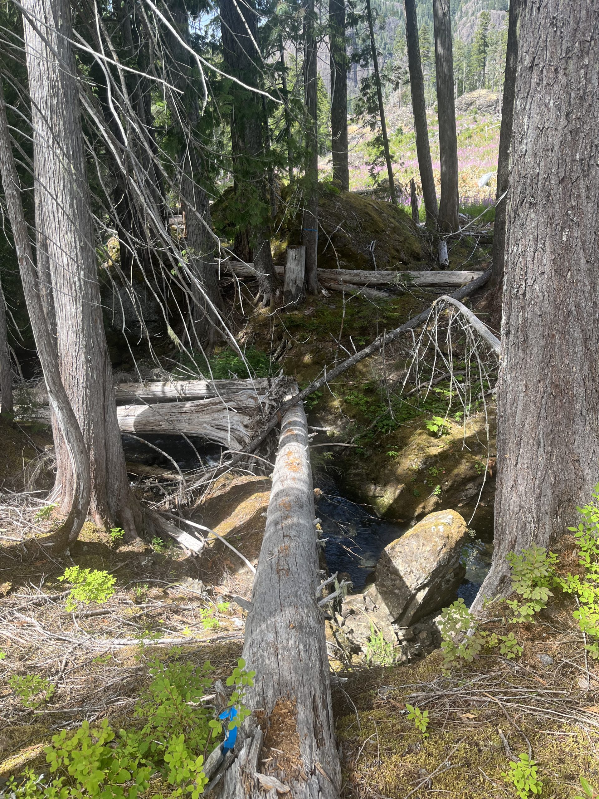
Oyster River log crossing
My spirits lifted at the sight of more flags, but they only led to a boat resting on the shore. Still, it could be a sign that the cabin was close! Sure enough, some more scraping through the salmonberries revealed another set of flags that terminated at the jackpot: I made it to Glen’s cabin!

Glen’s Cabin
The inside was kitted out with a stove, some bunks and blankets, and even a fishing rod and some old ice skates. I entertained myself reading the guest log, which had entries dating all the way back to 1995.
After a much-anticipated dip in the lake, I passed out for the afternoon. The next day, once again, I would be going up 1000+m in elevation – it would be the fourth day in a row. And, thankfully, the last, as after that it would be all downhill. I went to bed slightly dreading the bushwhack out in the morning. Even so, I was glad to have found that quaint little cabin.

Pearl Lake
Signed,
Carly

This website contains affiliate links, which means The Trek may receive a percentage of any product or service you purchase using the links in the articles or advertisements. The buyer pays the same price as they would otherwise, and your purchase helps to support The Trek's ongoing goal to serve you quality backpacking advice and information. Thanks for your support!
To learn more, please visit the About This Site page.
