Section C: Mt. Sarrail, AB to Field, BC
JULY 11: MT. SARRAIL > PALLISER RIVER. 26KM
Freshly filled packs once again weigh on our shoulders and hips as we take off for Palliser River. While leaving Kananaskis we passed by several signs warning backcountry campers of the significant remaining snow and that summer was indeed “3 weeks late”. All of the high elevation sites were closed to camping, but that was okay for us, because we would be passing by and not staying. It did however stir concern, if the trail was in actuality too snowy to pass, then we would need a contingency plan. Our minds set to continue until we could not, or did not feel safe, we brushed off the signs as being suggestive and continued on. We had probably experienced worse.
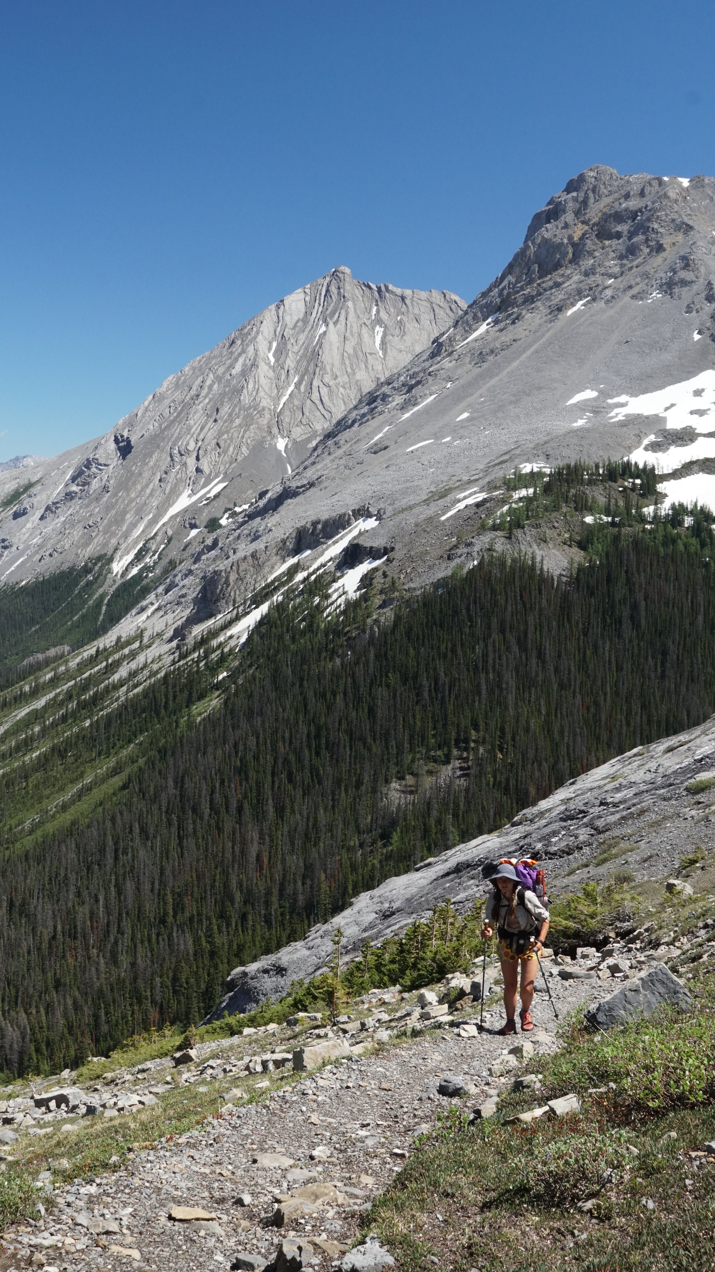
Halfway up the ascent we hit snow, section A all over again. It did slow our progress, but didn’t stop us. It was walking on familiar ground, the same we had been doing for the two weeks prior, by now we were masterfully dancing on the slush, pirouetting around fallen trees and vaulting others. We made it to Three Isles Lake, an alternate to the GDT main route, completely isolated amongst wicked peaks and glacial lakes. It wouldn’t be proper to leave such a place without a skinny dip and sun bath.
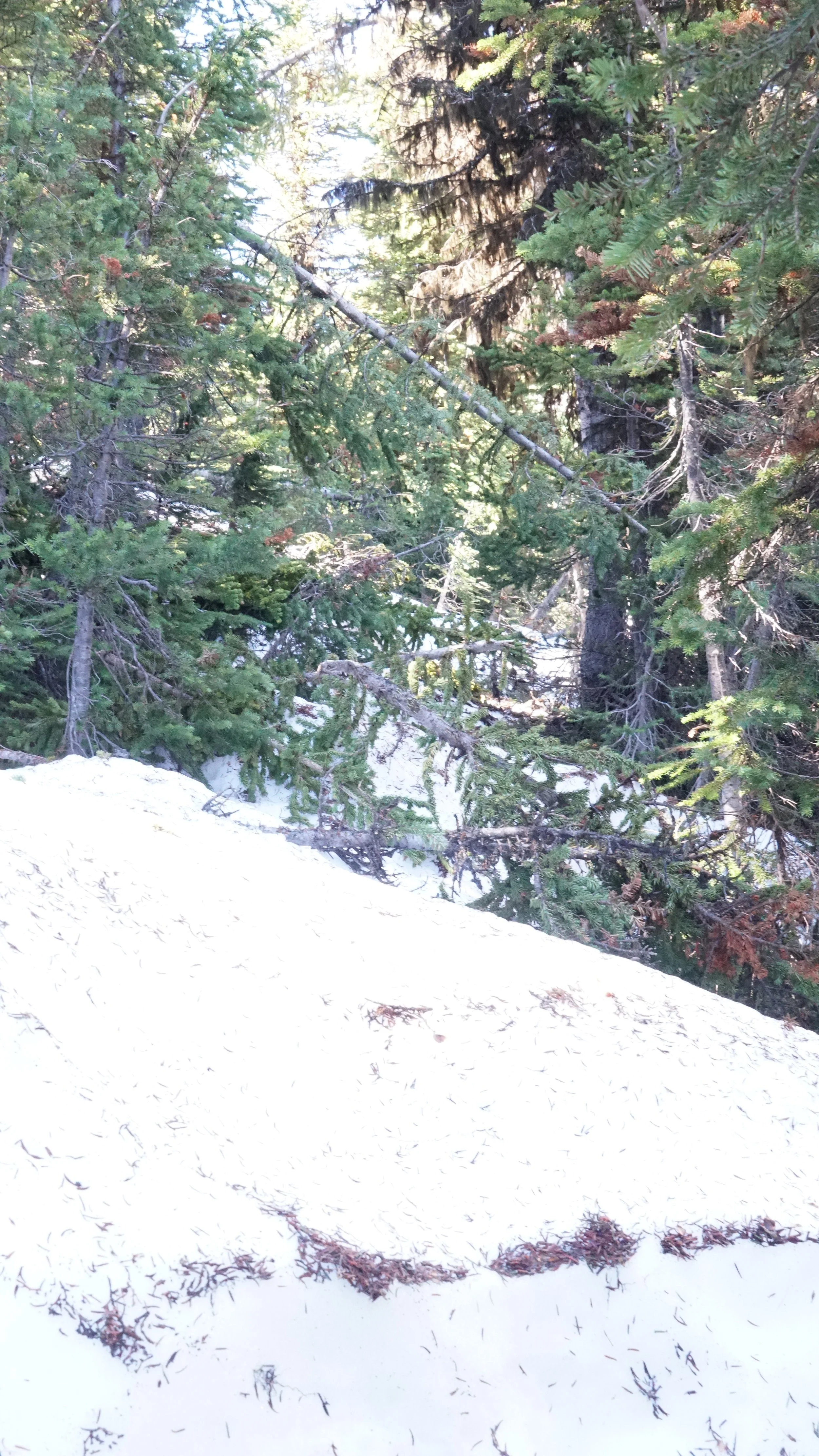
A typical scene from snowy, uncleared paths. Yes, that is “the trail”
Three Isles Lakes was gorgeous. Surrounded by wicked peaks on all sides that stacked stratified layers of rock formed in a wavy prehistoric acid trip.
Beatty Lake was not far away, marking the final ascent of the day. Another stunning lake as it was, we had no time for a swim. It was already 5pm and we had many kilometers left to go before we could call it a day. We wound our way down the mountain following a trail of loose cobbles primarily used by four-legged critters. The mountains around us as we entered Height of the Rockies Provincial Park looked like sharks teeth, row after row of acute angled peaks bit into the blue sky.
We were nearly to our campsite, one kilometer to go when we approached our first river crossing. It was a concern before we saw it. The thick bush would not allow a glimpse of the rumbling torrent, walking parallel to a sound created by no small river. We may have hit our luck’s end. The trail would not turn, would not allow us a sight of the river, we continued up stream. Finally, a view. What we had heard was a series of cascading falls, where we stood presented a gray silty wash. Lucky. It was slightly braided and we chose to hop braid to braid of the stream so as to not cross the river in its entirety.
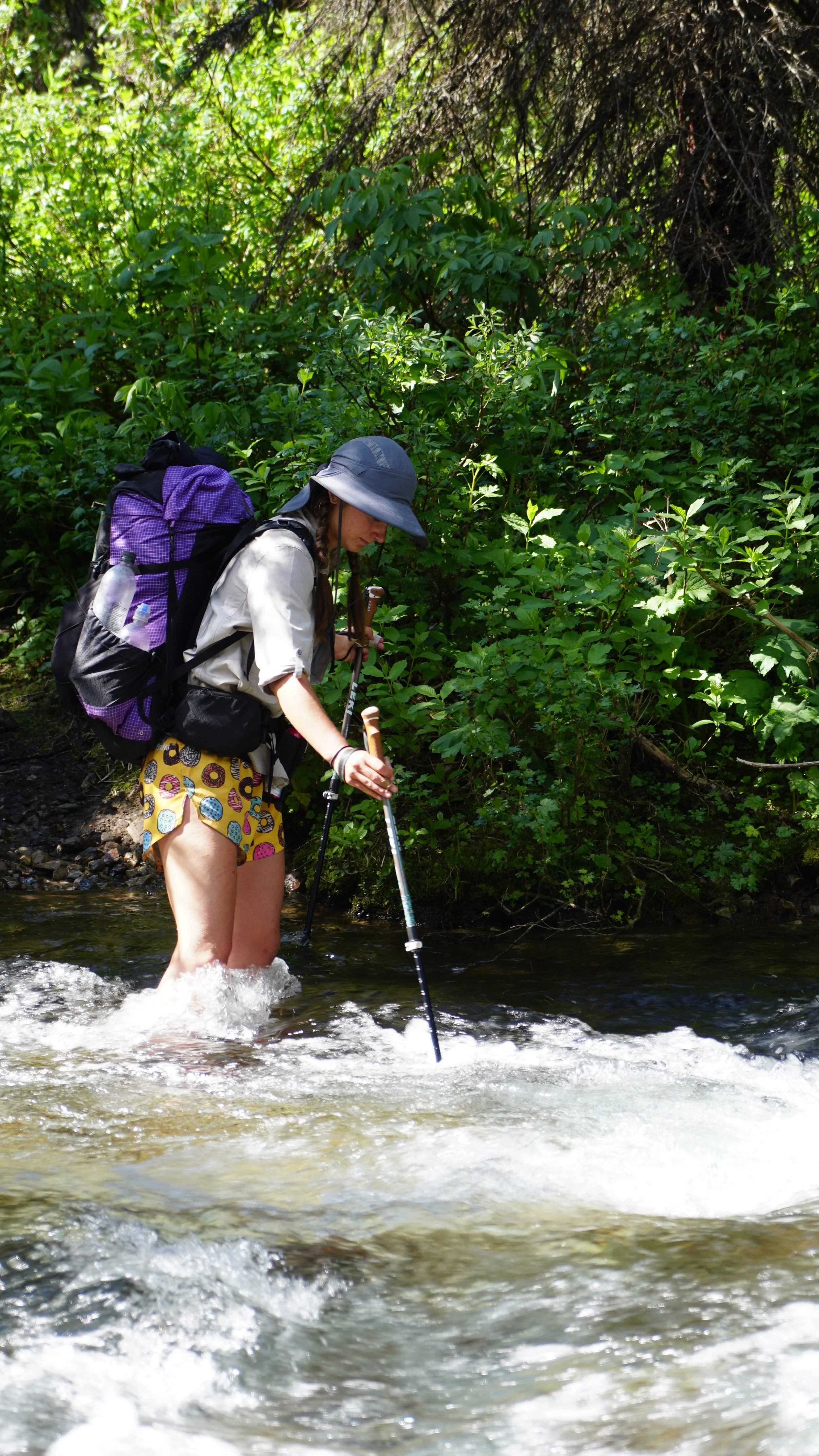
Less than one kilometer from camp and one more river, the Palliser River, then we can sleep. It was 9pm. Emerging from the bush to find a bigger river than before, we were screwed. Walking downstream, river to our left we looked for anywhere that might be crossable, no such luck. We were eventually cut off from our downstream search by a confluence with a smaller stream. Shit. We pulled out our map and GPS, checking we had come the right way. We did, but, we weren’t looking the right way. It was the smaller river that had cut off our downstream search that we needed to cross, a creek more than a river. Thank goodness, that would’ve been an awful 26km backtrack. Wading across and arriving in the meadow, we hastily set up camp, made dinner and went to sleep. It was 10:30.
JULY 12: PALLISER RIVER > BIG SPRINGS. 29KM
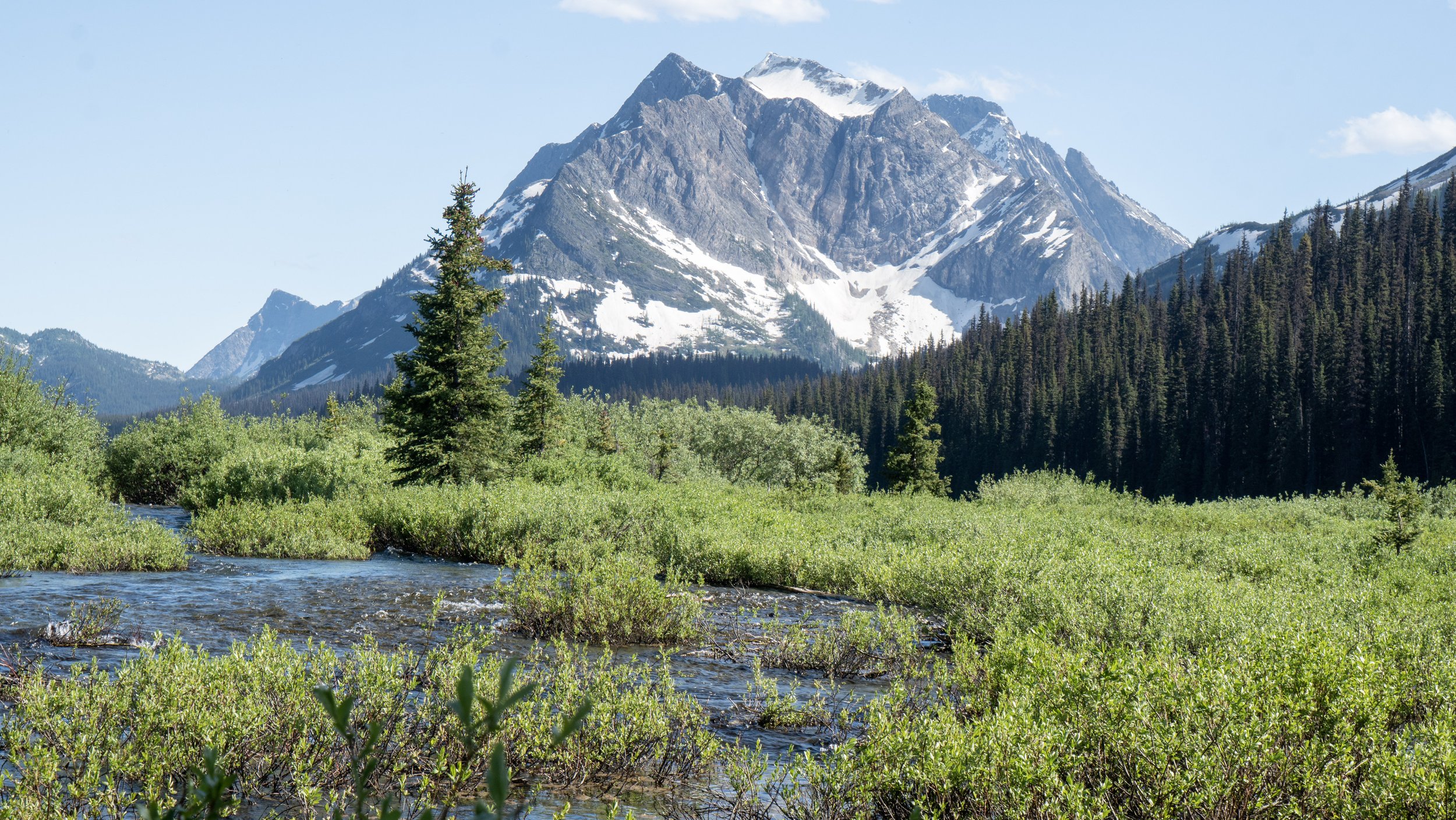
Dare I say that summer is finally here, the warmth of the day was great.
A 700 meter climb punctuated the beginning of our day, after that…flat. Yes indeed, it is rumored and confirmed by both map and GPS that the Spray Valley, the headwaters to the Spray River, is flat. Our climb up was hot, we had a late start to the day and felt the intense heat beating down as we climbed up the pass. The top was, as usual, snow bound. We gradually descended as we started through the headwaters of the Spray River, the valley warmed and snow disappeared, leaving a wetland in its absence. The 12 kilometers opened up a side of Banff National Park that I never knew existed, only imagining the tourist townsite as the main attraction.

We walked in a long flat valley enclosed by stunning peaks. The shades of green varied all around us, from the grasses at our feet to the highest alpine in the transition to stone.
The Spray River headwaters maneuvered in tightly coiled oxbows, so tight that one could fish both sides of the river from a single spot. We traveled along the valley, watching the river grow and develop as more streams joined into the collection of water bodies.
Notable Features: Spray River headwaters, flat trail, grizzly country, wading, swimming
JULY 13: BIG SPRINGS > PORCUPINE. 29KM
29km is just too long of a distance for a hike to be enjoyed for the entirety of the day. Same as yesterday, at 25km I was ready to be done.
The parks bring out the people. We saw more people today than we had the previous two weeks combined. We pass by, catching whiffs of shampoo and laundry soaps, while they perhaps catch aromas of sweat, body odor and other bodily scents. Many people seem to like our shorts, maybe because they’re mostly all in pants and wishing for a crisp mountain breeze upon their upper thigh. Who knows. The parks also bring out trail crews, and they do a fine job of maintaining trails. With well taken care of trails we were able cruise along all day, not doubting our directions or bushwhack through thickets of foliage. In fact, the only time we were lost today was in a campsite, not a proud moment, but that was one confusing campsite map that did not clarify the river crossing.

We crested Wonder Pass into Assiniboine Provincial Park, met with views from a mountain fantasy. Vibrant green larch forests coated the valley floor, prominent peaks dotted the skyline and a trail of perfect splendor brushed us along towards picturesque huts. No wonder it’s also a UNESCO World Heritage Site. We arrived at Assiniboine Lodge at the wrong time, also on the wrong day, for us to get beer. We took our time with lunch in front of the lodge, enjoying our lovely wraps and the view of Mt. Assiniboine. From behind us came an employee of the lodge and with all the kindness we could muster asked if there was any way she could get a couple beers for some dirty GDT hikers. The charm was on, after a nice chat and $20 we had two cans of cold beer. Oh yea, did that ever hit the spot. I’ve never been more willing to pay $20 for two cans of beer than at that moment, I doubt it will ever be surpassed.

Mt. Assiniboine
Notable Features: cresting Wonder Pass, beer at lodge, dinner guests
JULY 14: PORCUPINE > EGYPT LAKE. 26KM.

Today we walked right up to Sunshine Ski Resort outside of Banff townsite. The trails became even more neat and manicured as we approached the lifts. The Ski resort isn’t the GDT main route, but a small detour, and worth it. The gravel hill above the lift stations dawned sandwich boards for the Banff Smokehouse. We were sold. How lucky could we be to have beer the day before and another today?!
Although a very poor representation of a smokehouse, nothing was smoked on the menu, they did have a glorious, fully loaded, massive, heaping cheesy plate of nachos. Topped with Chili.
We ate more than we could handle. Our ciders went down smooth and while waiting to digest our bloated uncomfortable meal, a woman walked over with half a pitcher of sangria, explaining that she and her husband couldn’t finish it, offering the concoction to us. Yes please. It took us three hours to leave the resort, still uncomfortably full, we needed to continue. Two passes, 13 km, stood between us and our sleep.
Notable Features: Sunshine Village, Nachos, Assiniboine from Citadel Pass, Pooping, Larch Alpine Meadows
JULY 15: EGYPT LAKE > NUMA CREEK. 25 KM.
Today was going to be special, we were crossing highway 93, a highway we had driven several times. We neared home and a rest day. Today was also the day that Parks Canada had refunded our reservation because Floe Lake Trail was closed. We would have to take an alternate route, bypassing the astonishing scenery.
The two passes, Whistling and Ball, posed little challenge to us, they were miniature relative to other passes behind us. Once atop Ball Pass, we were in Kootenay National Park. In order to make it to the highway, we would descend 950m over eight kilometers, a bit steeper than average descent (we like 100m per kilometer). Wolf tracks frequently appear in the trail, they use the trail here too. I hoped to see one. No such luck.
We once again needed to hitch a ride. Typically a hiker would cross the highway and continue to Floe Lake, but because it was closed we had to reach the next trail head, Numa Creek, eight kilometers away. It was not long before Kim and Kathy pulled up, a local couple who were headed to Calgary for a wedding. They were genuinely enthusiastic about our journey, asking question after question about our trip thus far. It was great to meet them. Thanks for the ride!
The hike into Numa Creek was a “Chuting Gallery” of Avalanches and their debris. Several trail reroutes and seven avalanches from this winter held full size trees of the river, splintered and splayed like a pile of toothpicks.
Notable Features: Ball Pass, hitch hiking, Lil’ Bear, Descent to 93
JULY 16: NUMA CREEK > HELMET FALLS. 20KM
The “easy day” to Wolverine Pass turned into a longer moderate day ending at Helmet Falls. We arrived at Wolverine Pass around 4pm after a late 11am start to the day. Upon arrival we found that we still possessed the energy and drive to continue on another 10km to Helmet Falls, an unplanned site for the night. Who needs rest anyways?
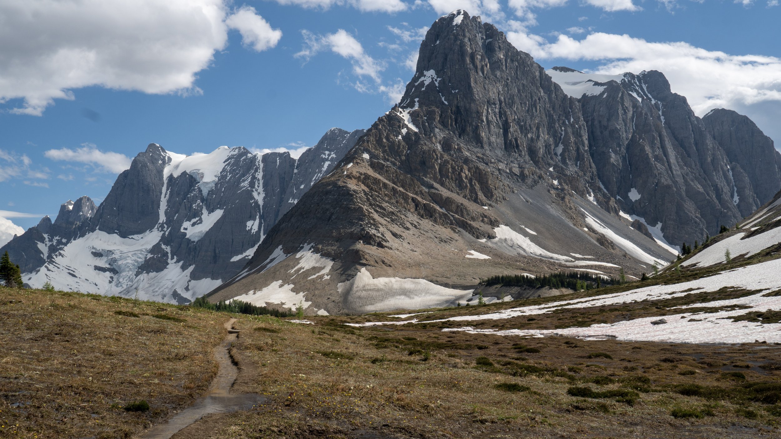
The rockwall was geologically phenomenal. A nearly unbroken wall spanning several kilometers north and south, as well as hundreds of meters high stood to our left all day. Glaciers hung in high nooks and hunkered low in shaded bowls, revealing themselves as we climbed higher on the adjacent slope.
The sight was unforgettable. Pure, rugged Canadian Rockies.
Nearing the site we could hear Helmet Falls roaring away, we could not see it yet, but knew it was far and large. Unlike any waterfall yet to pass, this giant thunderous hydrological spectacle fell from the top of the wall, crashing on, not one, but two, shelves, thereby rerouting its fall and dispersing it into a large misty fan.

Notable Features: Rock Wall, glaciers, 500km mark, Helmet Falls, Sneaky Camping.
JULY 17: HELMET FALLS > MCARTHUR CREEK. 14KM
We were awake at 6am after waking to an alarm, wanting to leave nice and early. We skipped breakfast and went straight to the trail, eating several granola bars instead. Today was short and more excitingly, we were meeting our friends at McArthur Creek where we would all walk out together the following day.
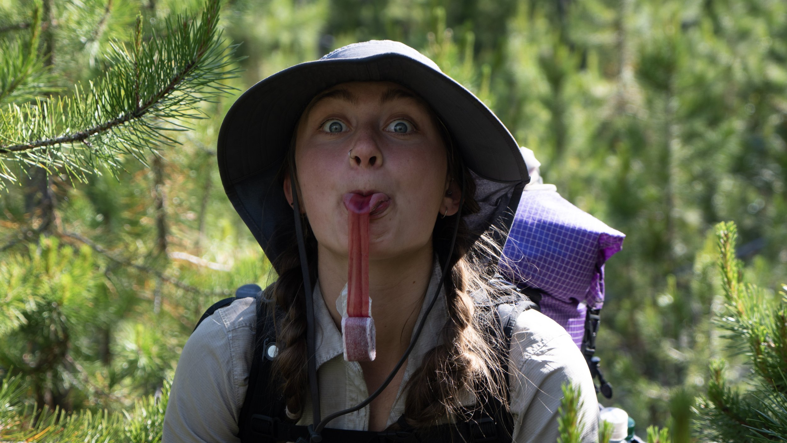
The day flew by. It was 11:45am when we arrived. Hell Yea. Now it was time for some proper rest, nothing to do but wait. We filled up our water, and went to our tent where two hours of napping took us to early afternoon. A bit of yoga with glacial views followed. It was a great afternoon. Our friends Jess, Melanie, Paulina, and River the dog arrived around 4pm. They brought so much good food, enough to share. We got into a game of cards before bed, it felt nice to change up the pre-bed activity which was either hiking or eating.
Notable Features: Short day, big nap, friends!, cards
JULY 18: MCARTHUR CREEK > OTTERTAIL PARKING. 14KM
An old fire road was our trail today, gentle on the knees and on the grade. We were able to finish our hike out by 2pm, in only 45 minutes and we would be in OUR own house, with a shower, food, and a bed. Our first shower in 14 days and first proper laundry in 22. It is more than convenient to live next to the trail you are hiking! We look forward to two complete rest days, good food, stretching, and sleep.
This website contains affiliate links, which means The Trek may receive a percentage of any product or service you purchase using the links in the articles or advertisements. The buyer pays the same price as they would otherwise, and your purchase helps to support The Trek's ongoing goal to serve you quality backpacking advice and information. Thanks for your support!
To learn more, please visit the About This Site page.

