 ">
">
The Best Local Day Hikes Around Tahoe
Disclaimer: You should only be hiking trails that aren’t overcrowded during the height of the COVID-19 pandemic, and keep at least a six-foot distance from others. Before taking on any outdoor activity, be sure to follow all CDC guidelines, state-by-state regulations, and to stay up-to-date on changing circumstances.
Tahoe is an outdoor recreation mecca. From hiking to paddling on the lake’s crystal blue waters, we’re so fortunate to have ample trails with easy access right out our doors. It’s tough to find a “flat” hike in Tahoe (duh, it’s the Sierra!), but the best local day hikes around Tahoe typically end with incredible views of the lake and surrounding mountains that make a climb well worth it.
Tahoe’s trails offer something for everyone. From a casual two-mile loop to a butt-kicking 10-mile out and back, hiking in Tahoe can be as easy or strenuous as you choose. Here are some of the best local day hikes around Tahoe!
Mount Tallac Trail
Distance: 10.2 miles
Difficulty: Difficult
Parking here

Sunrise from Tallac. Photo: Tucker Ballister
Parking: The turn onto Mount Tallac Road is located about 6.5 miles west of South Lake Tahoe off of Highway 89. A sign on the lake side of the highway indicates the turn. Follow that road south until you reach the Mount Tallac Trailhead.
Best time to go: June through October. This hike is buried under considerable snow throughout the winter. During that season it becomes a popular spot for backcountry skiers and split boarders.
Alternate versions: Hikes starting from the Mount Tallac Trailhead can be shortened for a day trip to either Floating Island Lake or Cathedral Lake.
Are dogs allowed: Yes.

Looking north from Tallac summit. Photo: Tucker Ballister
In order to hike the Mount Tallac Trail, you must first obtain a wilderness permit for entry into Desolation Wilderness. Permits can be filled out and deposited in the register at the trailhead, but they are required for both overnight and day hikes in Desolation Wilderness. The added hassle of getting a permit is well worth it, though, as this is one of the best local day hikes around Tahoe for anyone who hasn’t experienced mountaintop views of the entire basin.
The hike is a steady climb throughout, with steeper sections as you approach the summit. In total, this hike challenges even experienced hikers with 3,290 feet of elevation gain. There are convenient rest stops at Floating Island Lake (1.7 miles in) and Cathedral Lake (2.5 miles in). Cathedral Lake is also a great stop on your way back down from the summit if you desire a quick swim on a warm summer afternoon.

Looking west from Tallac summit. Photo: Tucker Ballister
The summit of Mount Tallac is very exposed and experiences high winds throughout the year. Be sure to pack appropriate layers and bring lots of water on this hike. The aforementioned lakes are a great place to replenish your water stores if you bring a water filter along on this hike.
Trekking poles will be of great assistance on this hike, both in ascending to the peak and in controlling your descent. Once you reach the summit of one of the highest peaks in the Tahoe Basin, you’ll enjoy unfiltered views of the lake and the Sierra extending away to the north and south. If you’re ambitious enough to start your day hike early enough to need a headlamp for the first few miles, the sunrise view from Mount Tallac is arguably the best in the region.
Five Lakes Trail
Distance: 5 miles
Difficulty: Moderate
Parking here

Entering Granite Chief Wilderness. Photo: Tucker Ballister
Parking: The start of this trail is located on Alpine Meadows Road off Highway 89. You’ll find the sign for the Five Lakes Creek Trailhead on the right side of the road about 2.1 miles west of Highway 89.
Best time to go: Spring and fall. The trail can be hiked during the summer but it’s very exposed throughout the climb and can be very hot. This trail actually passes close by the Alpine Meadows Ski Area and receives considerable snow coverage during the winter.
Alternate versions: The Five Lakes Trail connects to the Pacific Crest Trail at the top of the ridge. Hikes can be extended north or south on the PCT.
Are dogs allowed: Yes.
A bit of rocky terrain. Photo: Tucker Ballister
You might want to warm up and stretch a bit at the trailhead because the Five Lakes Trail starts climbing immediately and doesn’t really let up until you reach the Five Lakes Basin. The climb is very exposed so this is definitely a trail that necessitates plenty of sun protection. Be sure to also pack plenty of water, but you will be able to refill at one of the lakes if you bring a filter.
The parking at the trailhead is very easy to find. You’ll most likely see other cars parked along both sides of the road long before you spot the actual trailhead sign. Yes, that means this trail can be very busy, especially during the peak summer months. Going early in the day is a good idea and, fortunately, the many lake options at the top of the trail still give you plenty of chances for quiet and solitude on this hike.

In search of all Five Lakes. Photo: Tucker Ballister
The lakes themselves are scattered throughout a natural glacial bowl and are often less than 50 yards apart. Some Tahoe locals, myself included, have completed this hike multiple times and still haven’t actually laid eyes on all five lakes.
Throughout the hike, you’ll enjoy views of the Alpine Meadows Ski Area to the south that are starkly contrasted by the rocky granite formations of the ridge to the north. Once you’re in the Five Lakes Basin, you and your hiking companions (whether they be two or four-legged) can enjoy a swim in your chosen lake and views of Squaw Peak lying just northwest of the basin.
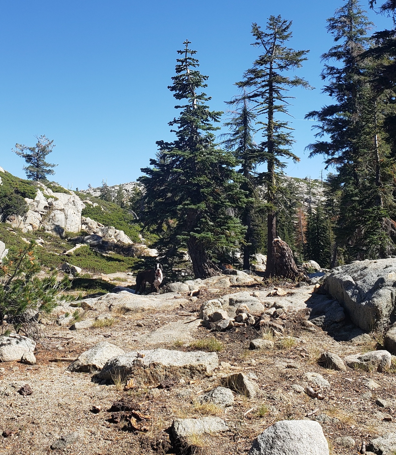
Trail Name: Hunter Creek Trail
Distance: 5.7 miles
Difficulty: Moderate
Parking here

Exposed section of Hunter Creek Trail. Photo: Tucker Ballister
Parking: There is ample parking at the trailhead, as well as along the sides of Woodchuck Drive. From Tahoe, make your way toward Reno via Interstate 80. Use the McCarran north exit and head south on McCarran Boulevard. Make a right on Mayberry Road, left on Plateau Road, and a right on Woodchuck Drive. The Hunter Creek Trailhead lies at the dead-end of Woodchuck Drive.
Best time to go: Spring and fall. This trail is accessible in the summer, but the first two miles of exposure will make it very hot hiking. On low snow years, this trail may remain accessible throughout the year, although be aware of the potential of icy patches at higher elevations.
Alternate versions: This trail continues past the waterfall for approximately another two before terminating at Hunter Lake.
Are dogs allowed: Yes, but please keep them on a leash.

Forested section of Hunter Creek Trail. Photo: Tucker Ballister
The Hunter Creek Trail is a moderate uphill hike up to a fantastic waterfall that’s a great spot for lunch or dipping your toes in the cool mountain water. This hike boasts a variety of terrain. It starts out very exposed for the first two miles or so, but there are several convenient shade spots for breaks along the climb up to the waterfall.

Waterfall on Hunter Creek Trail. Photo: Tucker Ballister
In the last mile, it starts to feel like you’re hiking in a different region altogether. This section is heavily forested and very shady, so don’t be surprised if you go from sweating on the exposed section to needing another layer once you hit the trees. There are three very manageable stream crossings in the final approach to the waterfall.
The trail is mostly smooth and on dirt, aside from a few quick rocky sections. In the spring and fall, you might encounter quite a bit of mud on the upper sections, so be prepared with proper hiking footwear. Although this hike involves about 1,210 feet of elevation gain, I’ve encountered families with kids of all ages every time I’ve hit this hike for an early-season waterfall visit.
Considerations for Hiking Around Tahoe
Like many mountainous locations, the weather in Tahoe is subject to change. Always. Be sure to pack appropriate layers, ample water for the entire day, and plan ahead to make sure a friend or family member knows where you’re going and when to expect your return.
Tahoe’s trails receive considerable use throughout the year. Please be respectful of our beautiful home by packing out everything you pack in, staying on trails, and being respectful of any wildlife you encounter on your day hike. If you do that, you’re bound to have a great time on one of the best local day hikes around Tahoe!

This website contains affiliate links, which means The Trek may receive a percentage of any product or service you purchase using the links in the articles or advertisements. The buyer pays the same price as they would otherwise, and your purchase helps to support The Trek's ongoing goal to serve you quality backpacking advice and information. Thanks for your support!
To learn more, please visit the About This Site page.
