Trail Profile: Superior Hiking Trail
The Superior Hiking Trail is a 310-mile trail that takes you along the North Shore of Minnesota. The trail can take two to three weeks depending on your daily mileage and nero/zero days, or four weeks if you really want to take your time. You’ll travel through rolling hills, eight Minnesota state parks, old-growth forests, and the city of Duluth. There’s even a Great Lake. It’s Superior.
Quick Facts
- Length: 310 miles
- Location: Northern Minnesota
- Trail type: Point-to-point
- Scenery: Mixed old growth forests with occasional views of Lake Superior
- Terrain: Moderate, with consistent rolling hills and occasional short, steep climbs
- Navigation: Guide to the Superior Hiking Trail, Superior Hiking Trail Maps, and this reference sheet
How to Get There
To get to the Northern Terminus: From Hovland, continue north on Hwy. 61, turn left on Co. Road 16 (Arrowhead Trail) at mile marker 129 and go 11.5 miles. Turn right on Otter Lake Road and go four miles to trailhead parking lot on left (Google maps link). The terminus is a one-mile hike from the trailhead and is shared with the Border Route Trail. This parking lot is for day-use only. For overnight parking continue on Otter Lake Road for another 0.2 miles and the trailhead parking lot will be on the right.
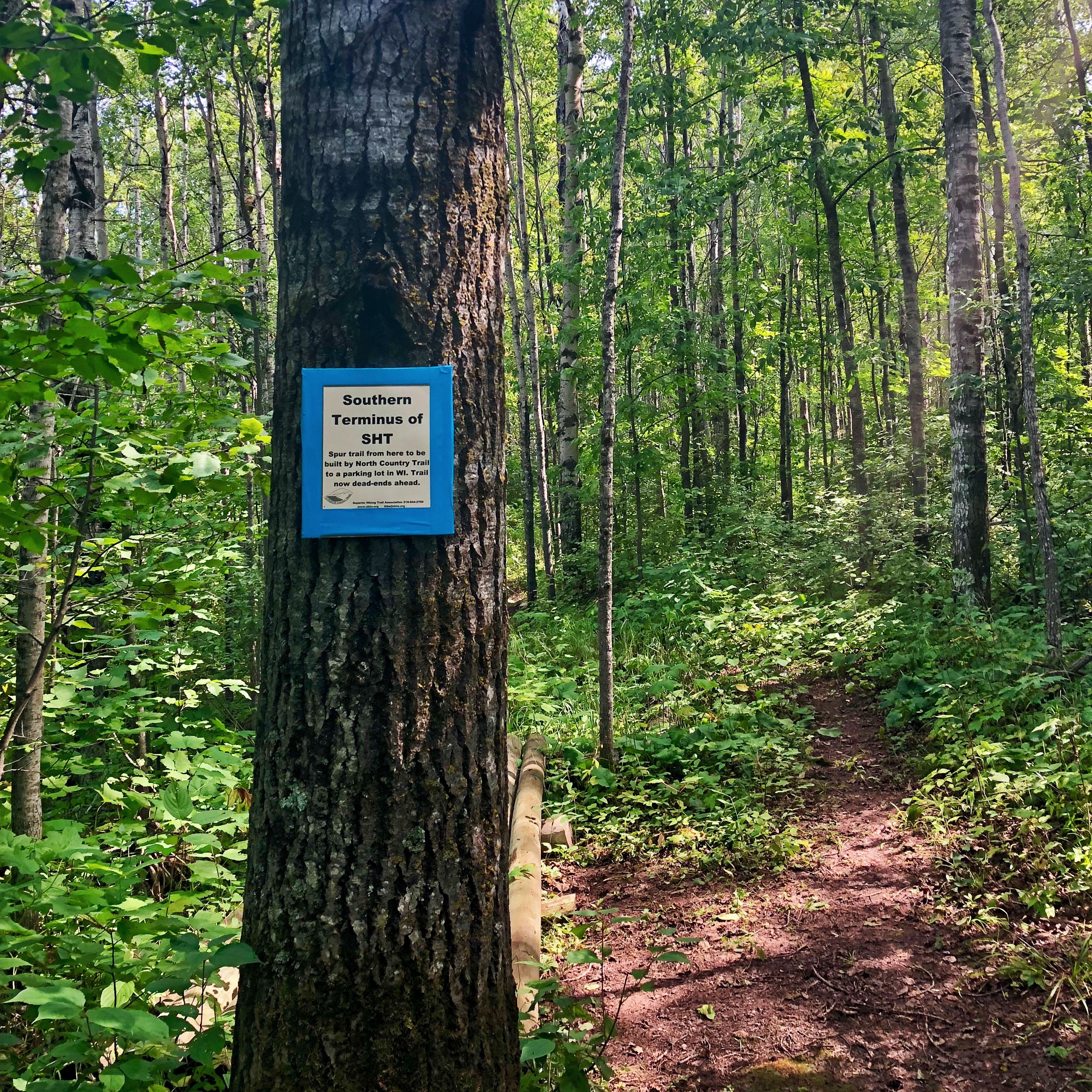
To get to the Southern Terminus: From Wrenshall, turn left on Carlton Co. Road 18 and go 3.1 miles. Turn left on Hwy. 23 and go 0.3 miles. Turn right on Wild Valley Road and go 0.5 miles to trailhead parking lot on left (Google maps link). The terminus is a 1.9-mile hike from the trailhead. Overnight parking is OK. The trailhead parking lot is only open from late May to mid-November and then is closed by a gate.
There are some shuttle options to help transport you between trailheads: Superior Hiking Shuttle and Harriet Quarles Transportation.
Total vs. Traditional Thru-Hike
As a thru-hiker you have two options: a total thru-hike and a traditional thru-hike.
A total thru-hike is what it sounds like—hiking the total 310-miles from the Southern to Northern Terminus.
A traditional thru-hike starts from Martin Road and goes to the Northern Terminus. This removes the 53-mile Duluth section. The Superior Hiking Trail Association doesn’t have any campsites available in the Duluth section, so hikers have to stay in hotels or other fee-based campsites. Since this part is trickier to plan, many hikers skip it.
We did the total thru-hike, but the traditional thru-hike seems to be the more popular option. The total thru-hike is more expensive with having to pay for campsites/hotels and transportation to and from trailheads, but it has some of the prettiest scenery on the trail.
Direction
The Superior Hiking Trail can be hiked northbound or southbound. We hiked southbound, but both directions seemed equally popular.
There isn’t significant benefit of hiking one way versus the other. The one thing to note is that there isn’t cell service in the northernmost section of the trail. If you choose to hike southbound and get injured or want to bail early it’ll be difficult to contact someone. If you choose to hike northbound you may have difficulty coordinating a pickup from the Northern Terminus.
Why You Should Hike the Superior Hiking Trail
The Superior Hiking Trail is a great shorter “long” trail to thru-hike. The 310-mile length is a lot more digestible than 2,000 miles.
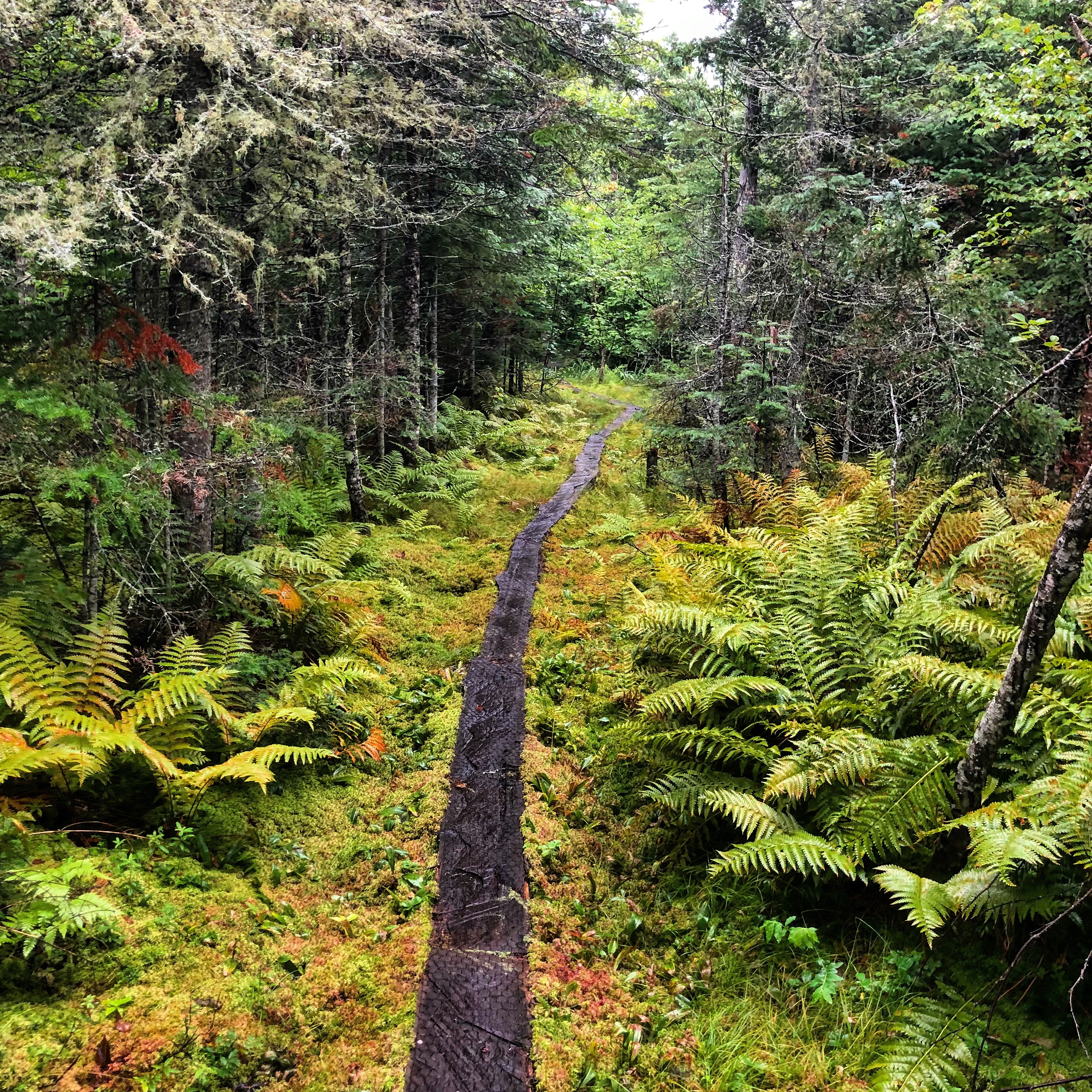
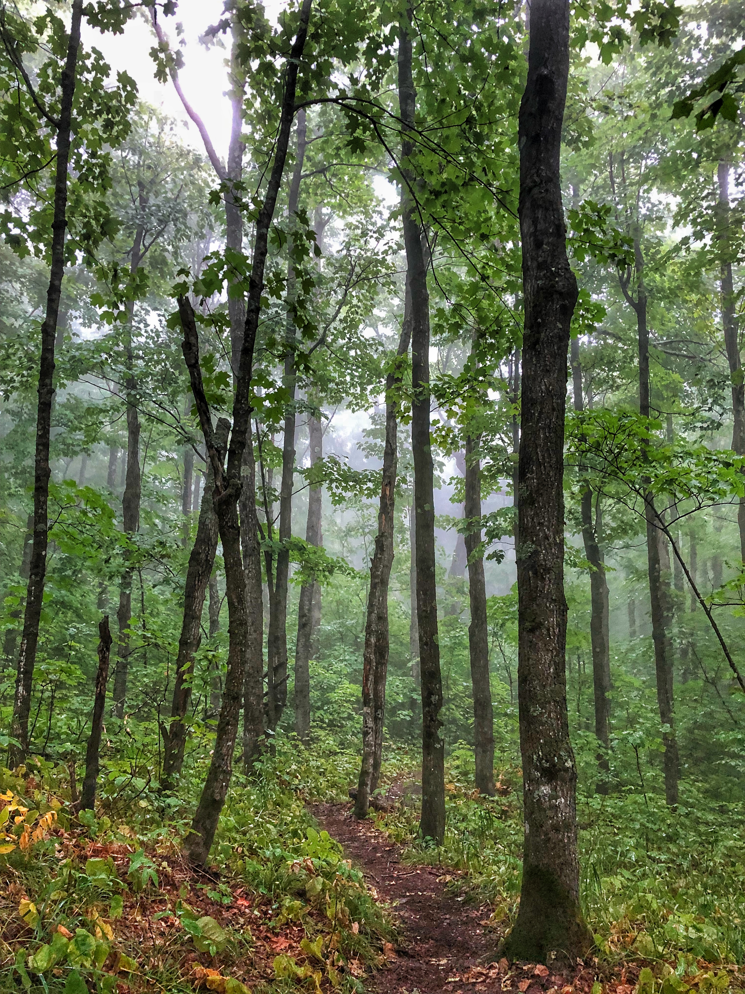
The majority of the Superior Hiking Trail is through forested areas. Between the larches, birches, and maples, the scenery can be absolutely gorgeous when fall foliage is at its peak.
A major selling point for a lot of people is that this trail isn’t heavily trafficked compared to some of the other long trails. Chances are you will still see people every day, primarily day or section hikers, but you won’t be overwhelmed by crowded trails or campsites.
Overall, it’s a great trail if you’re looking to immerse yourself in nature.
Climate and Weather
The climate in northern Minnesota ranges from frigid winters to hot, humid summers. The snow doesn’t typically melt until the end of May and post-melt mud isn’t ideal for hiking, not to mention the swarm of bugs and ticks that come out during this time. It should go without saying that winter isn’t a suitable season for hiking in Minnesota.
With that said, the best options for hiking are summer and fall. In the summer months it’s not so much the heat that is an issue (typically 70-80 degrees), but the humidity. We started the trail mid-August and most days were 60-70 percent humidity. Chances are it will rain one to two times per week, so be prepared to be wet—from sweat or rain—most of the time.
As the weather transitions to fall temperatures will drop, daylight will decrease, and the amount of rain will stay about the same.
If we were to do this trail again we’d probably start mid-September so that we could get some major leaf peeping in. However, hiking through lush green trees wasn’t unpleasant.
Gear Suggestions
As mentioned, the climate in Minnesota during the prime hiking season will be hot and humid. The temperatures don’t fluctuate much between night and day, but having a light layer for cooler mornings or to sleep in is a wise choice. Unless it was raining we were basically always hiking in shorts and T-shirts.
Speaking of rain, bring rain gear. You will get rained on. We both wore rain pants and rain jackets, but knowing what we know now we’d recommend wearing ponchos instead. In the warm rain we’d get so hot hiking in our rain gear—wet with sweat on the inside and rain on the outside; ponchos will give you a lot more ventilation. Make sure to have a waterproof backpack cover or liner as well.
Because of the wet climate, trail runners will work better than hiking boots.
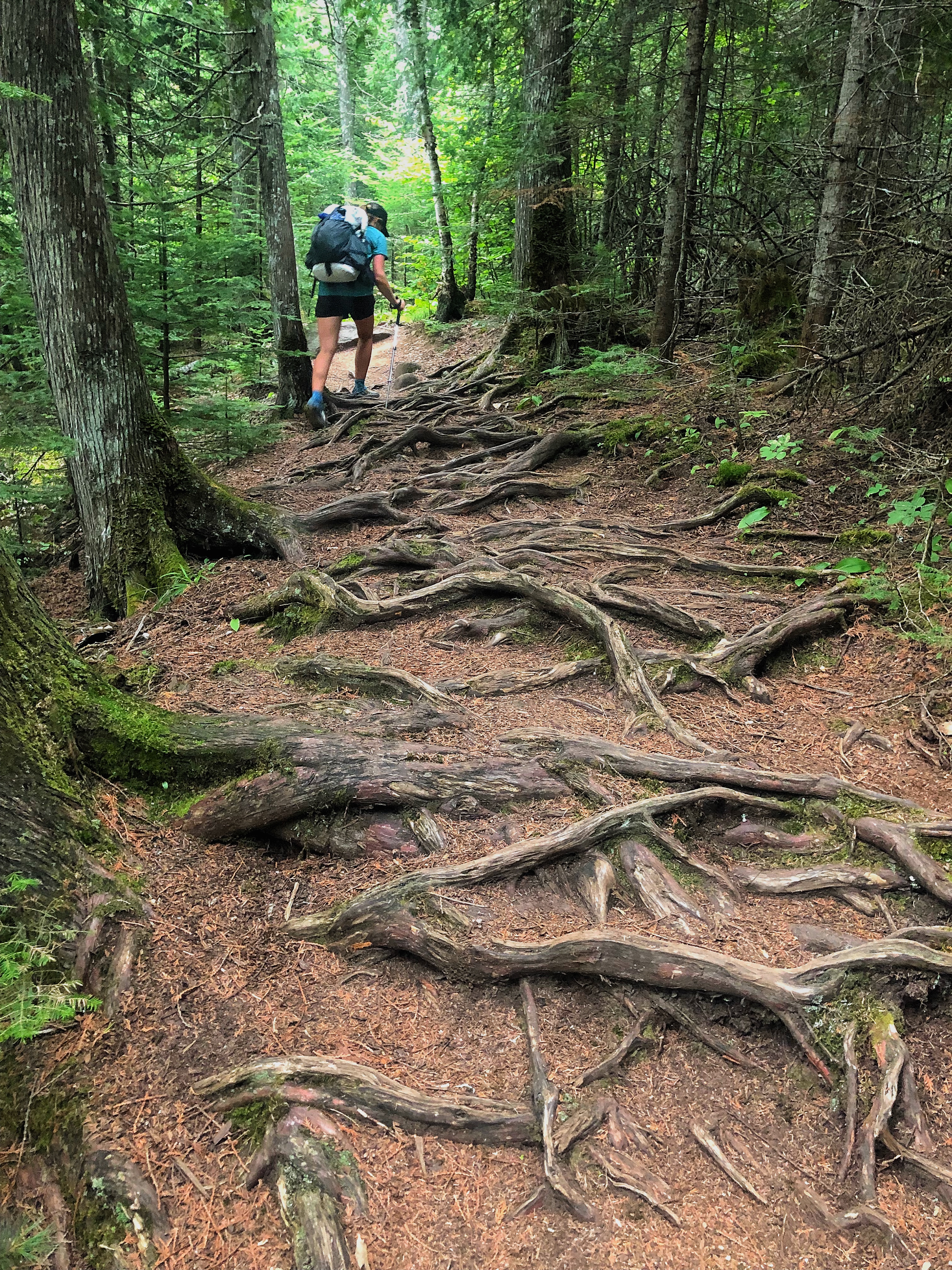
We also recommend hiking with trekking poles. The Superior Hiking Trail has steep (but quick!) climbs and descents and a lot of the trail is covered in thick roots and rocks. Having trekking poles will help you navigate through these sections.
And don’t forget the bug spray. Mosquitoes are the Minnesota state bird.
Camping
There are 94 campsites on the Superior Hiking Trail. Each campsite has two to eight tent pads, a fire ring with benches, a backcountry latrine (a pleasant feature), and most are located near a water source. Distances between campsites can range from .2 to 12 miles, with the majority of them being about three miles apart. There are no fee, reservation, or permit requirements and there is no dispersed camping along the trail.
The trail passes through eight state parks where there are campsites available for a fee.
As mentioned earlier, there are no Superior Hiking Trail campsites through the 53-mile Duluth section, which makes hiking this section logistically difficult. You can reserve a campsite at Spirit Mountain, Indian Point, and Jay Cooke or you can stay at motels. Although the motel option is more expensive it does give you the opportunity to slackpack, which is always a nice treat.
Highlights
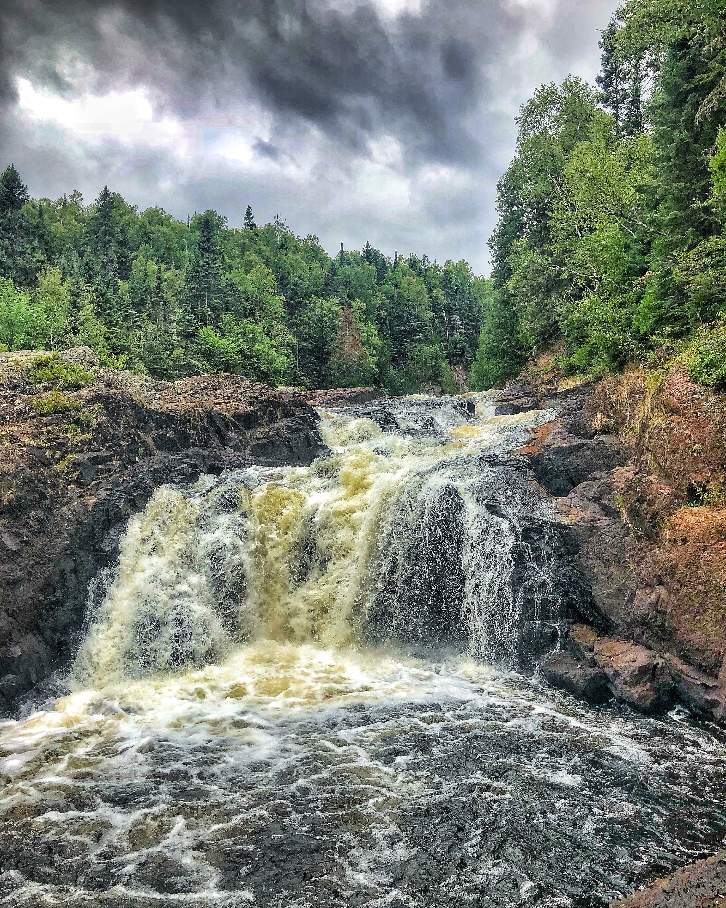
The Superior Hiking Trail travels through eight state parks: Jay Cooke, Gooseberry Falls, Split Rock, Tettegouche, Temperance River, George Crosby Manitou, Cascade, and Judge C.R. Magney. Froman iconic swinging bridge in Jay Cooke to the mysterious Devil’s Kettle in Judge C.R. Magney, each one brings beautiful scenery and a classic Minnesota experience.
One of our favorite sections was hiking through Tettegouche State Park to Mount Trudee and then over to Bean and Bear lakes.
Other highlights include the lake walks along Lake Superior, the old-growth white pine forests southeast of Duluth, and the overlooks from Ely’s Peak, Piedmont Knob, Mount Oberg, Carlton Peak, and Section 13.
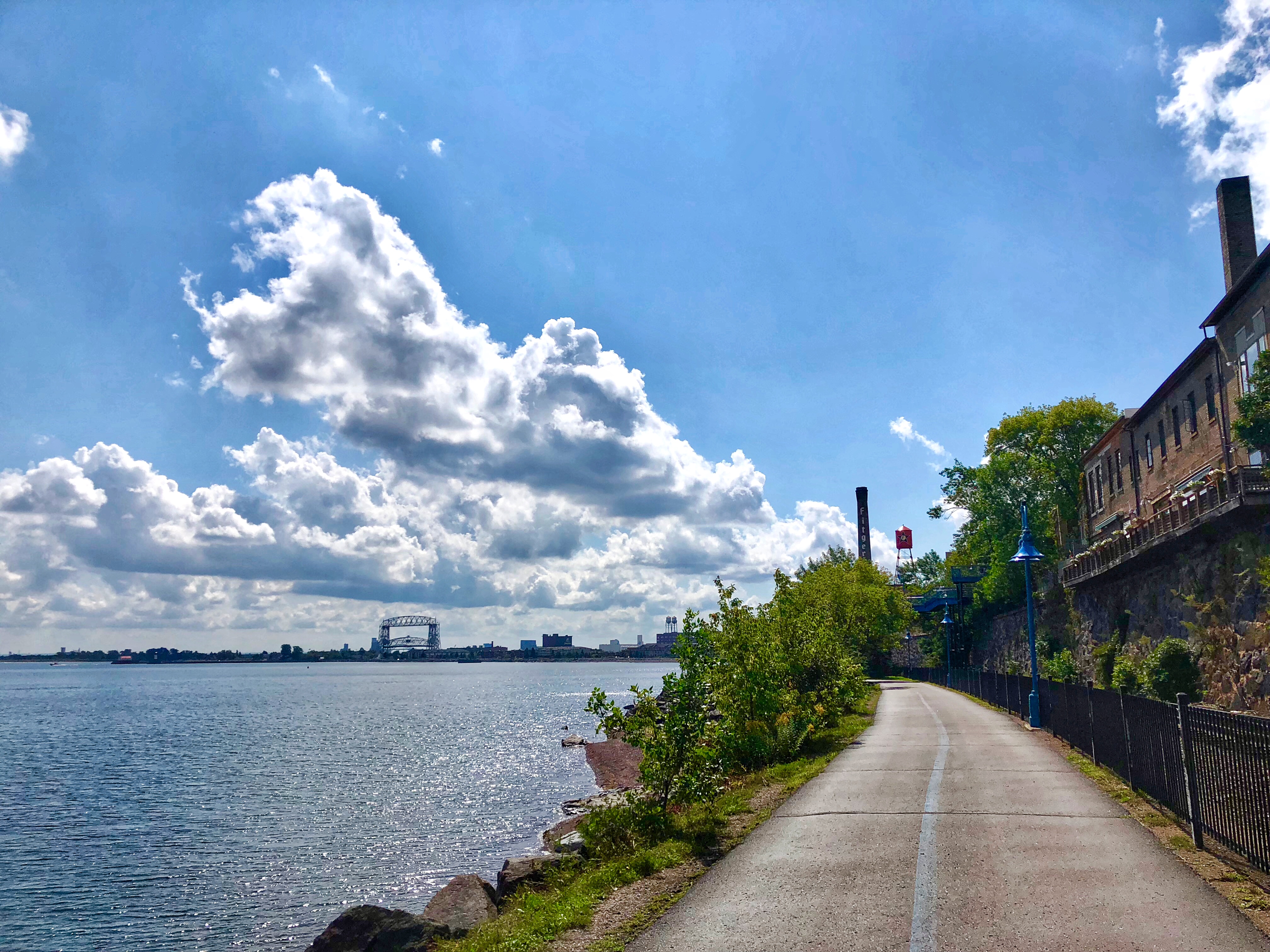
Aside from scenery highlights, it was a treat to be able to stop into a bar for a midday burger and beer while hiking through the the city of Duluth, despite the awkwardness of being a sweaty, stinky hiker in a populated city.
Another highlight of the trail is the opportunity to see or hear some amazing wildlife. The northern reaches of the trail are home to moose and gray wolves. Black bears also call the entire Superior Hiking Trail home. While we did not see any of these large mammals, we did see tracks and scat.
Water Sources
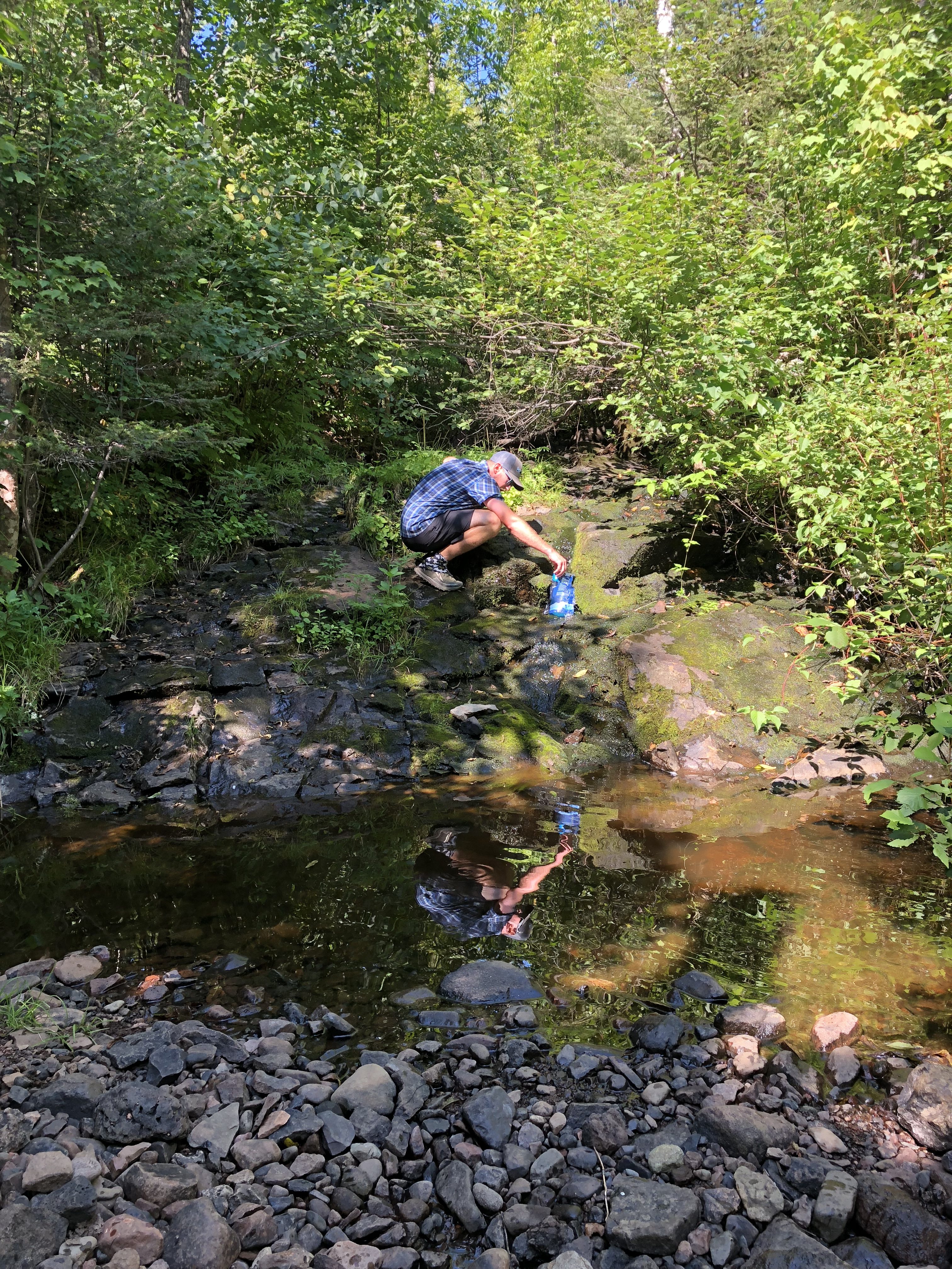
The Superior Hiking Trail has a variety of water sources—streams, lakes, rivers, and the glorious beaver ponds. The drier weather in the late summer can lead to lower water sources. If you bring a scoop (i.e., cutoff Powerade bottle) you should be totally fine.
Flowing water seemed to be a little more scarce in the northern sections, with the most popular source being beaver ponds.
Most campsites are located near water sources, plus there are multiple other sources that you’ll pass by in a day. This makes it easy to get away with carrying only two liters of water at a time. If there is an issue with the water source it’ll be listed on the Trail Conditions page on the Superior Hiking Trail website.
We used the Sawyer Squeeze filtration system, which worked really well and seemed to be what most other hikers were using. The beaver ponds can clog the filters, so it’d be wise to bring a backflushing tool.
Resupply Options
It is easy to resupply on the Superior Hiking Trail.
You can resupply by shipping yourself packages to either local businesses or post offices, or by visiting grocery and convenience stores. The Superior Hiking Trail Association has documents that list the package hold options and town services.
There is a town every 35 to 55 miles, so depending on your mileage you can typically resupply every two to five days. Hitchhiking into town is difficult as most people aren’t accustomed to seeing thru-hikers. Some towns, like Grand Marais, are a short 1.5-mile road walk while others, like Two Harbors, are a grueling 6.5-mile road walk. Uber/Lyft don’t exist north of Duluth and cab services are limited.
We used Cadillac Cab in both Silver Bay and Two Harbors. Scheduling a shuttle with Harriet Quarles is another popular choice.
If you choose to resupply at local stores rather than sending yourself boxes be prepared to shop at convenience stores. We did a majority of our resupply shopping at Holiday Stationstores, which have all the typical hiker foods – ramen, instant oatmeal, Clif Bars, trail mix, beef jerky, candy, water bottles, and Powerade. Most towns will have a full grocery store or market as well, but we found Holiday to be the most convenient.
The towns along the Superior Hiking Trail are not cities. They are small towns with basic amenities and limited hotel options. With that said, we enjoyed staying at AmericInn hotel chain. These hotels were located in every town. They have guest laundry, decent rooms, and a nice breakfast buffet.
Closing Thoughts
The Superior Hiking Trail is a great shorter-distance option for those who don’t have the time or the funds to do a longer thru-hike. It is also a good option for those who are unsure if they are ready to tackle one of the Triple Crown trails.
While the trail doesn’t offer sweeping mountain views it does give you the opportunity to immerse yourself in nature and enjoy some of the finest trail in the Upper Midwest.
This website contains affiliate links, which means The Trek may receive a percentage of any product or service you purchase using the links in the articles or advertisements. The buyer pays the same price as they would otherwise, and your purchase helps to support The Trek's ongoing goal to serve you quality backpacking advice and information. Thanks for your support!
To learn more, please visit the About This Site page.






Comments 11
Nice article about a fantastic Trail. It is important to not that much of the Superior Hiking Trail crosses private property. The SHTA has maintained good relations with the owners of much of this property, thereby guaranteeing good hiking for years to come. But there have been a couple of incidents which have caused land owners to rescind permission to traverse their property, causing lengthy and laborsome trail relocations.
With that in mind, it is important to understand and to ACCEPT that there is absolutely no dispersed (stealth) camping allowed on the SHT. All organized campsites have multiple tent pads and there are no campsite reservations. It is important to understand that because of the special status of much of the trail, that campsites must be shared. By all means go to SHTA.org and look through the many resources available to make your hike a memorable one.
Excellent write-up! I prefer going SOBO from the Northern Terminus for a thru. I am section hiking it this month – doing 100 miles total out an back this weekend through the Tettegouche – Section13 area and beyond. There will be some headlamp hiking! Temps can get cold at night in October but the days can be fine too. All depends on the week and the year.
To piggy back on the private property comment, during the fall there is hunting on some of the trail so it is a good idea to have a little blaze orange on and be couteous to thw hunters. Some of the land is owned specifically for a family to hunt on and one of the sections had to be rerouted because hikers were harassing hunters that were on their own land.
Excellent write-up and information. One thing I would point out. Hot and humid may be what you experienced, but it isn’t typical. It may get into the upper 80’s, but rarely gets in the 90’s. Humidity is not typical. August can be a dry month. You may go several weeks without getting rained on. Depends on the year.
Hitchhiking possible?
Do what we did on the PCT – Make up a sign on a piece of cardboard “SUPERIOR TRAIL HIKER TO TOWN” on one side “SUPERIOR HIKER TO TRAILHEAD” ON THE OTHER, fold it up and save it for next time. Oh and by the way dirtbag, if the driver roles down the window it’s probably not because he/she is warm!
Nice info. Planning to go sobo in a couple of weeks. First trail I ever backpacked, five years ago, and now about to be the first trail I ever thru-hiked.