">
">
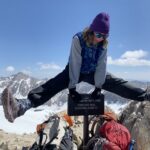
A Day in the Fire
The PCT has had approximately 140 miles of trail closures due to forest fires. Hikers find themselves skipping over those miles and going from one town to the next or adding extra miles onto their hike finding some sort of reroute. Each year more of the PCT closes due to forest fires. I knew coming on this adventure that it was inevitable that I would encounter some sort of fire issue and need to miss at least one section. The fire issue is one of the main reasons I wanted to do the PCT now instead of down the line since I cannot expect the fires around the West Coast to lighten up any time soon.

I wish I kept track of the amount of miles I walked through burn zones. Just for a guess I would say 200 miles sounds about fair. Fires of years past left a healing scar on the land. Today I’ll journey back into a few of these PCT miles that have been affected by fires past and present.
Belden Nor Cal
This section is the first significant fire zone NOBOS walk through. Some miles around Lake Tahoe were burned too but only a handful of miles. Rumore on trail is the burn zone in Tahoe is so small because forest firefighting efforts were moved away from smaller less traveled to wilderness and over towards the tourist ski town.
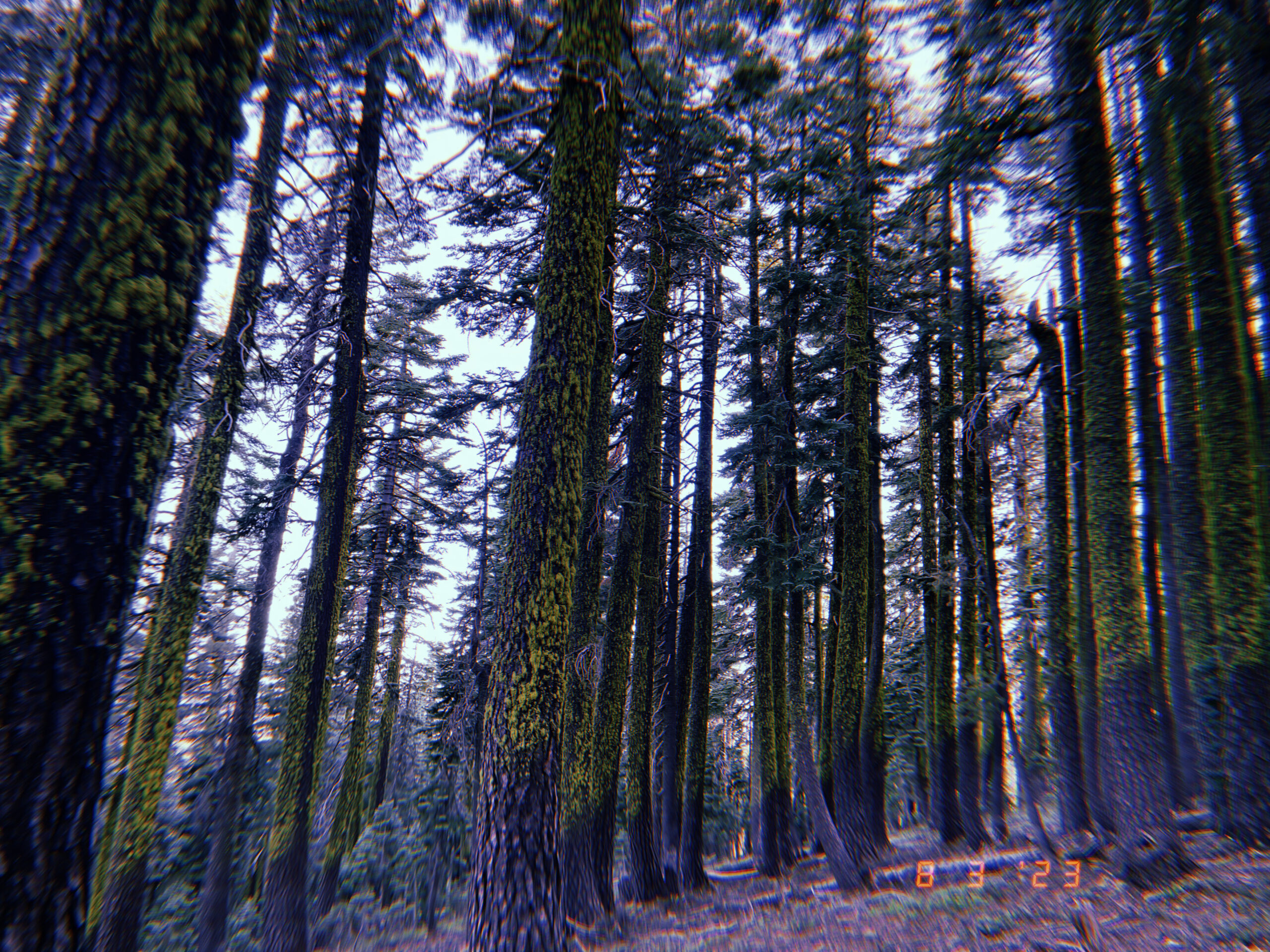
Anyways Belden area. The forest for the first time on the trail has grown dense and I’m pleased to be tucked under the canopy of the mountain hemlocks, red firs, and lodgepole pines. Being from the East Coast I did fall quickly in awe of this different style of wilderness, pure evergreen groves, trees stocked on the mountains. My favorite difference is on the east coast looking out at a view the distant terrain looks like a green even blanket draped over the hills. Out west you can see each tree along the ridge line.
Then nearly instantly you are into a burn zone, the transition might entail some living trees with burn damage on their bark but 5 feet forward from there every tree is dead. The cumbersome sight of this new landscape is you can now see miles around and in all directions all you see is more dead forest.
So time to put the sunscreen back on, the sunglasses, and the sun hat because in the middle of summer exposed, it feels worse than the desert in may. The trail is ashy and dusty making each step cause a plume of dust to surround my feet and legs. Easily my least favorite thing about the burn zones is how dirty I felt. Ash does not simply get shaken off and it felt like it was getting burrowed in every crack or wrinkle on my skin. I don’t shave my legs on trail but I did pick up a razor in one town with the idea that I would be not only removing hair on my legs but the dirt in my hair follicles too. Additionally, I was having acne breakouts since I would be rubbing sunscreen around my face with my soiled hands.

Since the trees are dead many of them fall over across the trail called ‘blow downs’. This still holds a small issue for me with my healing knee injury stepping over a waist-high log and then needing to balance on that knee while the other foot steps over felt wonky at times. Overall not bad these logs are just hurdles, sometimes I like climbing over them because it feels like climbing a tree. Other times sliding under it or going around will be easier. Going over the blowdowns caused me to rip a hole in my shorts and this is a common thing, I know of two other hikers who updated their shorts/pants due to blow-down tears. Sometimes you’ll find the trees will take a skin tax too as you go over it and hug the tree a little too hard.
With new growth happening in the forest the trail seems to at certain spots be overgrown. Fast-growing bushes take over and cause the feeling of bushwhacking even when you are directly on trail.
Lassen National Park
Burn zones one to the next are not that different but Lassen Volcanic National Park had an interesting environment. Since the land is filled with steam vents, geysers, and boiling spring lakes having it all be surrounded by burned trees gave it this mythical there is a dragon who lives here esthetic.

Seiad Valley
As I get a ride into the town of Mount Shasta I’m informed that there is a large trail closure between Etna and Ashland 100 miles north of me. This would mean that we cannot hike into Oregon or finish California completely which for PCT NOBOs is a big moment of accomplishment. Runway is desperate to find a reroute around the evacuation area since he grew up in OR, walking into the state was important to him. So we have a backup plan but still 4 days of hiking till we get to Etna, our next resupply, so winds can turn for better or worse.
They turned for worse and it seemed that each time he found a workaround the fire the evacuation area would grow into the path. We deemed it not worth it and found ourselves a convenient ride from the trailhead close to Etna to Ashland. A lady was going to be at the trailhead heading to Ashland exactly when we arrived at the road.
Missing trail is a bummer but every year it happens to hikers and is simply something you have no control over. Backpackers are some of the least people affected. Towns are evacuated sometimes multiple years in a row, business owners’ visitors decrease, air quality in populated towns such as Ashland is inexorable, and of course the biodiversity of an established forest needs to restart.

Again and again, on trail, I feel like a first-hand witness to the strain the planet is being put through, and yet the only thing I can do is leave no trace.

This website contains affiliate links, which means The Trek may receive a percentage of any product or service you purchase using the links in the articles or advertisements. The buyer pays the same price as they would otherwise, and your purchase helps to support The Trek's ongoing goal to serve you quality backpacking advice and information. Thanks for your support!
To learn more, please visit the About This Site page.