 ">
">
A Photographic Journey of the Colorado Trail
On August 2, 2016, I stepped off the plane at Denver International Airport wearing trail runners, a new pack, and a giant sunhat. I was about to start hiking the Colorado Trail. A little over a month later I finished my hike in Durango, having hiked 486 miles in 33 days (and taking four zero days in town).
During this journey, I carried a Fuji X-T1, which is a mirrorless DSLR, with a 27mm f/2.8 pancake lens. This setup weighed a little over a pound and fit easily into the hip belt pocket of my pack. Here is my journey, as seen through the lens of the camera.

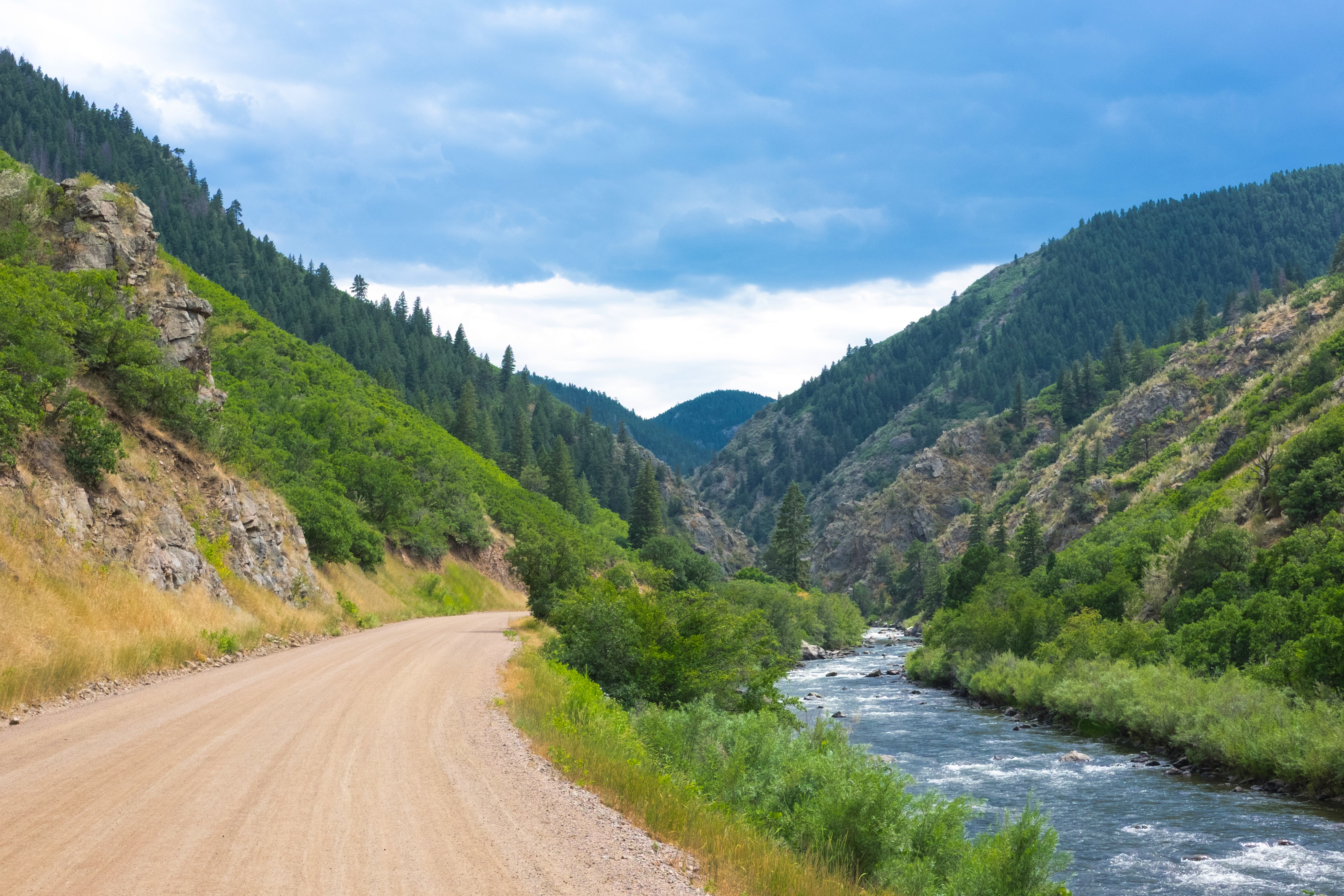
We start at Waterton Canyon. Even though the first six miles are on a road, the Colorado views already don’t disappoint.

Waterton Canyon is full of Bighorn Sheep. If you’re lucky, some of them might even hike with you.
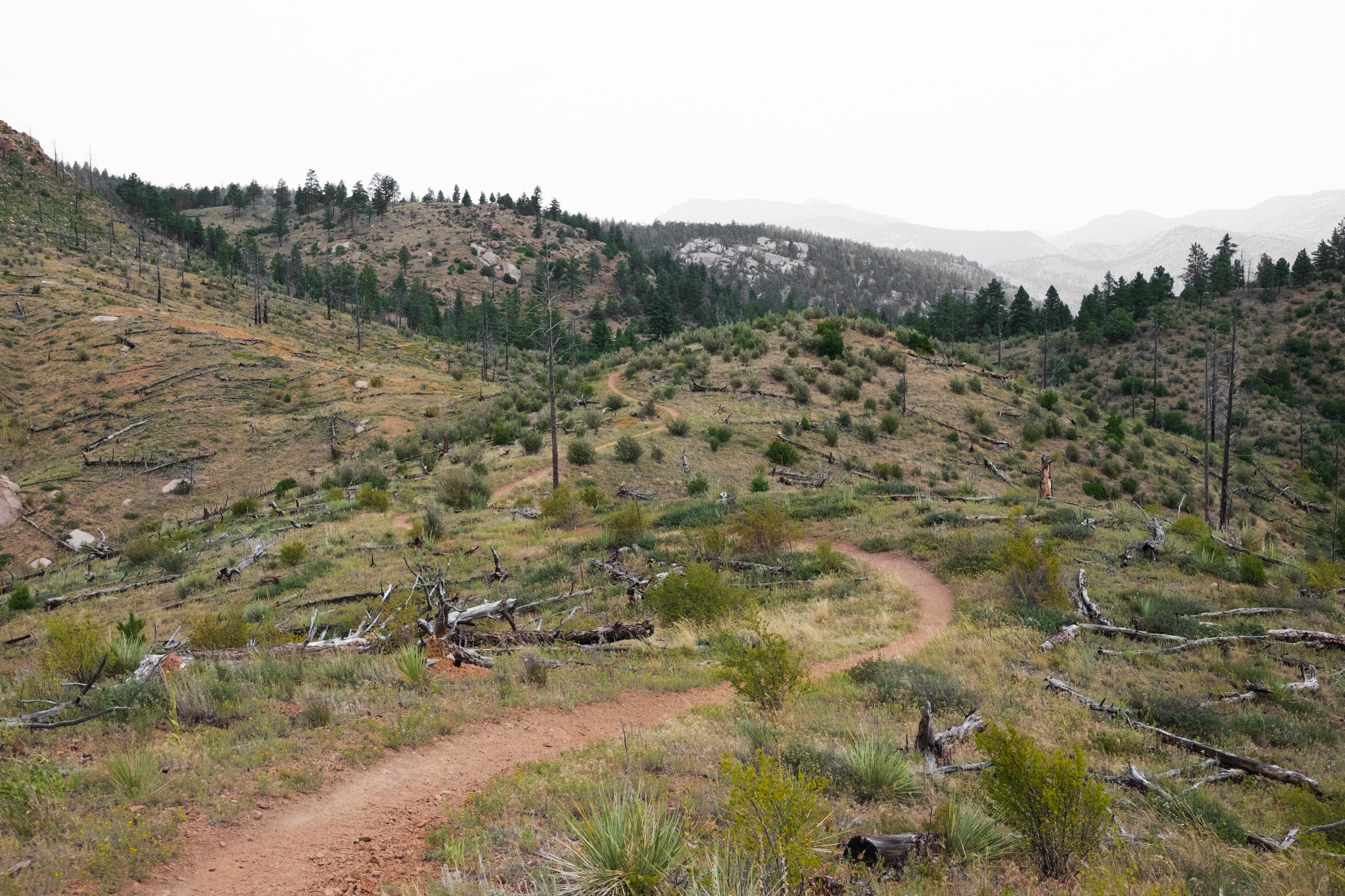
The burned section of Segment 2 is 15 miles with no shade or water. I started hiking at 5:00 AM to try and escape the heat.
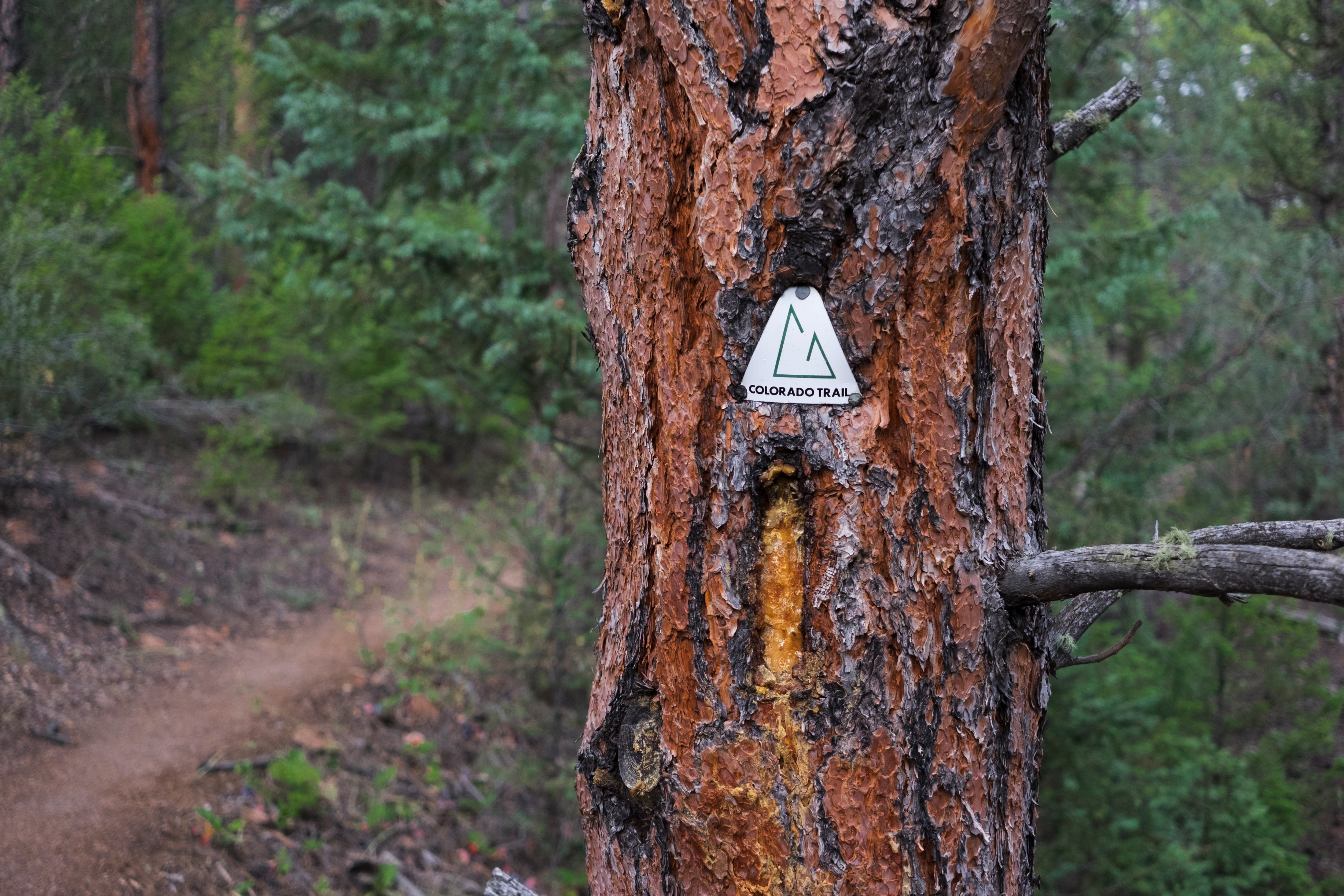
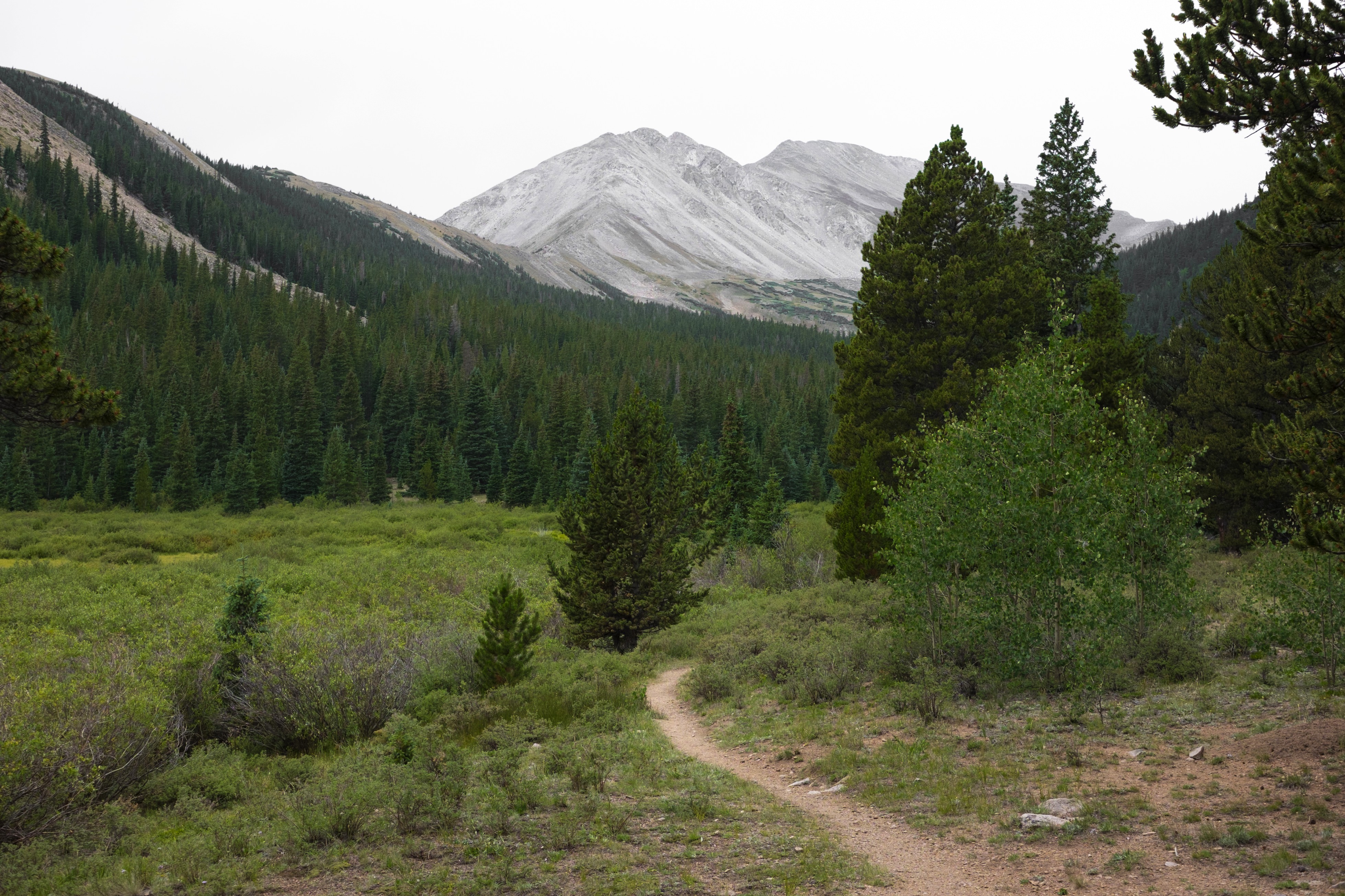
One of the CT trail signs. The trail isn’t as well marked as the AT, but it’s so well-maintained and smooth that it would be difficult to get lost.

Aspens in the Lost Creek Wilderness. Definitely a highlight of any hike.
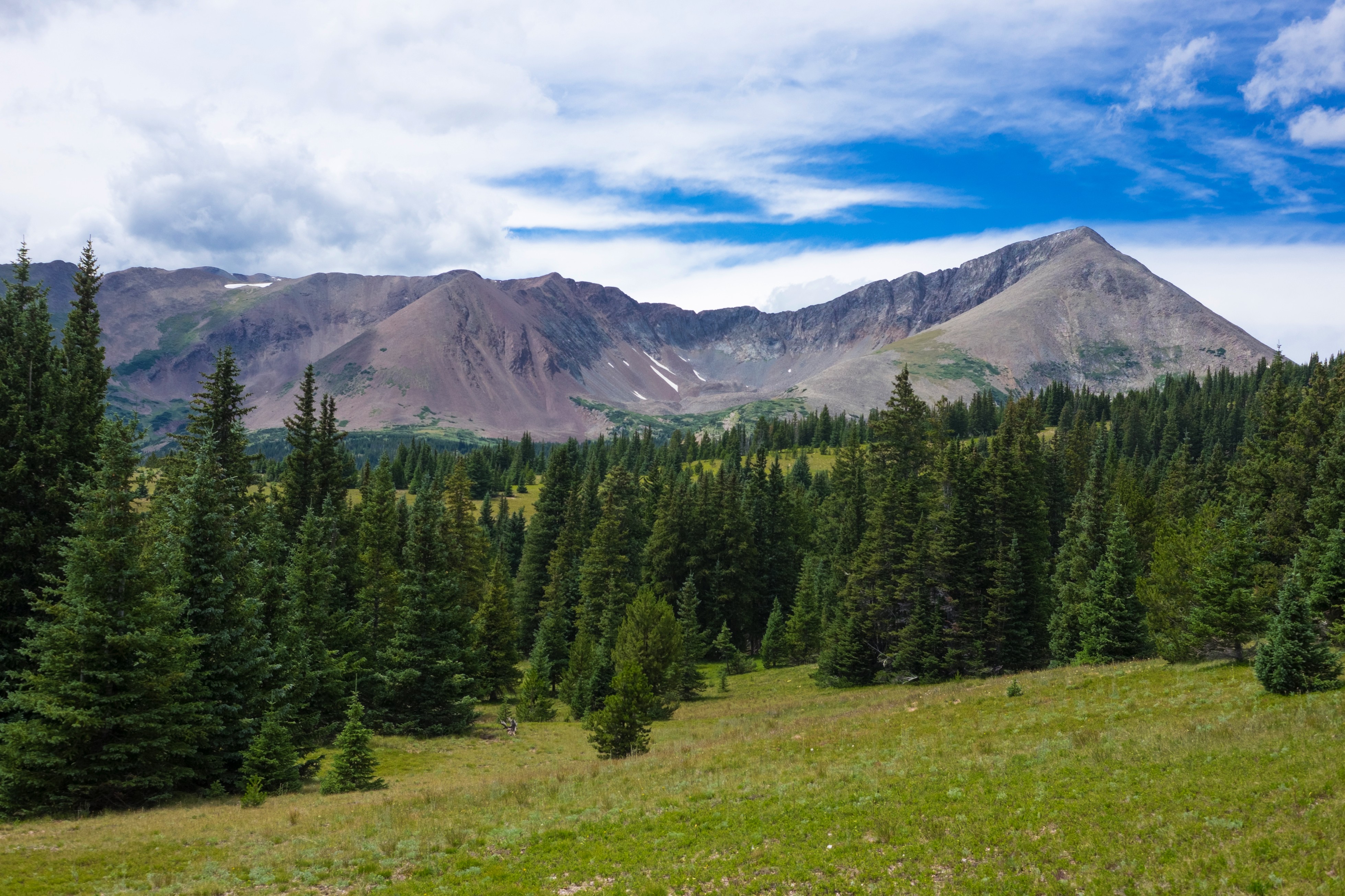
Georgia Pass is the first really big view on the CT.

Georgia Pass is also the place where the Colorado Trail and the Continental Divide Trail begin to overlap.

The climb out of Breckenridge was, in my opinion, the hardest climb on the entire CT. Luckily, climbing big mountains in Colorado is almost always rewarded with beautiful scenery.

Climbing up 10 Mile Mountain.

Wildflowers for days.

The Colorado Trail is full of picas! This one ran right up to me demanding food. Other animals I encountered included marmots, grouse, coyotes, and lots of cows.

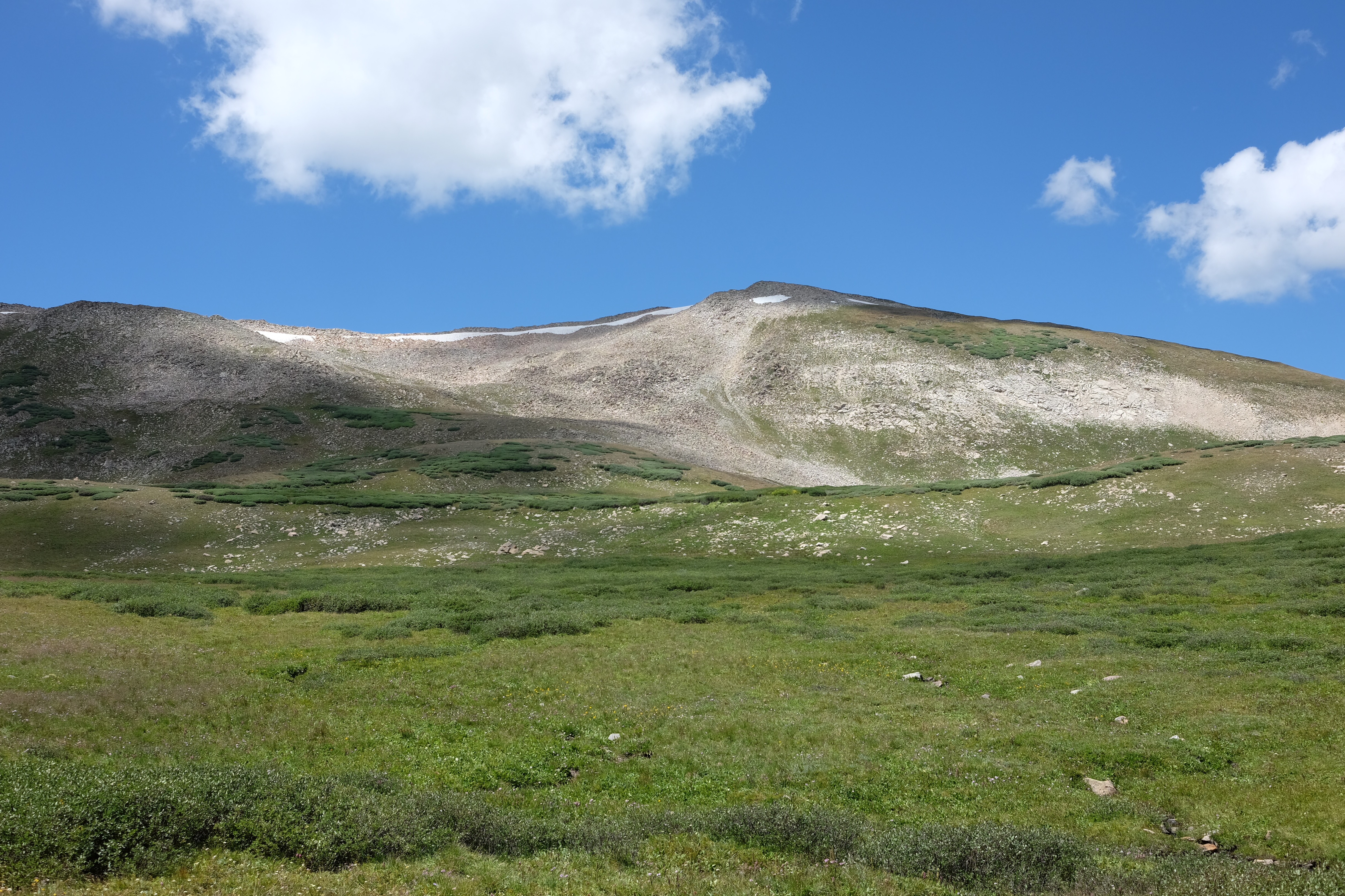
Those patches of white are leftover snow from the winter.

The Colorado Trail skirts around several of the Colorado 14ers. Many thru-hikers take side trails to reach the summits of those mountains before continuing on the CT. This is a sunset view from the CT of Mount Elbert.
#nofilter
In an effort to escape a hiker bubble, I decided to take the Collegiate East route of the CT. Most hikers agree the Collegiate West route is far more scenic, but I thought the Collegiate East had its own fair share of beauty to offer.

Monarch Pass, where Collegiate East and West rejoin.
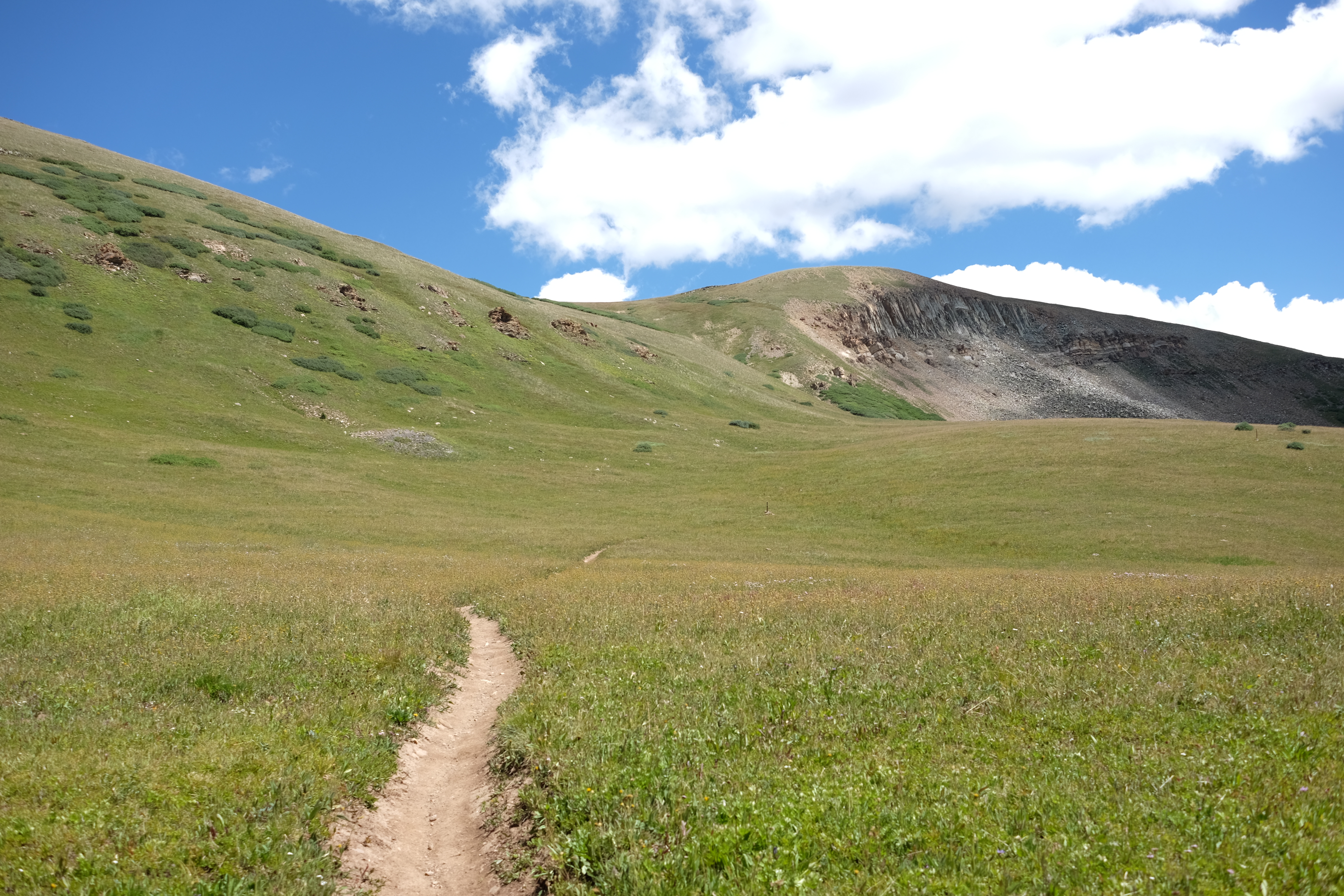
Some trails are meant for hiking. Other trails are meant for skipping, twirling, and dancing.

Misty morning on the Colorado Trail are a perfect time to fire up the Lord of the Rings soundtrack on your phone.

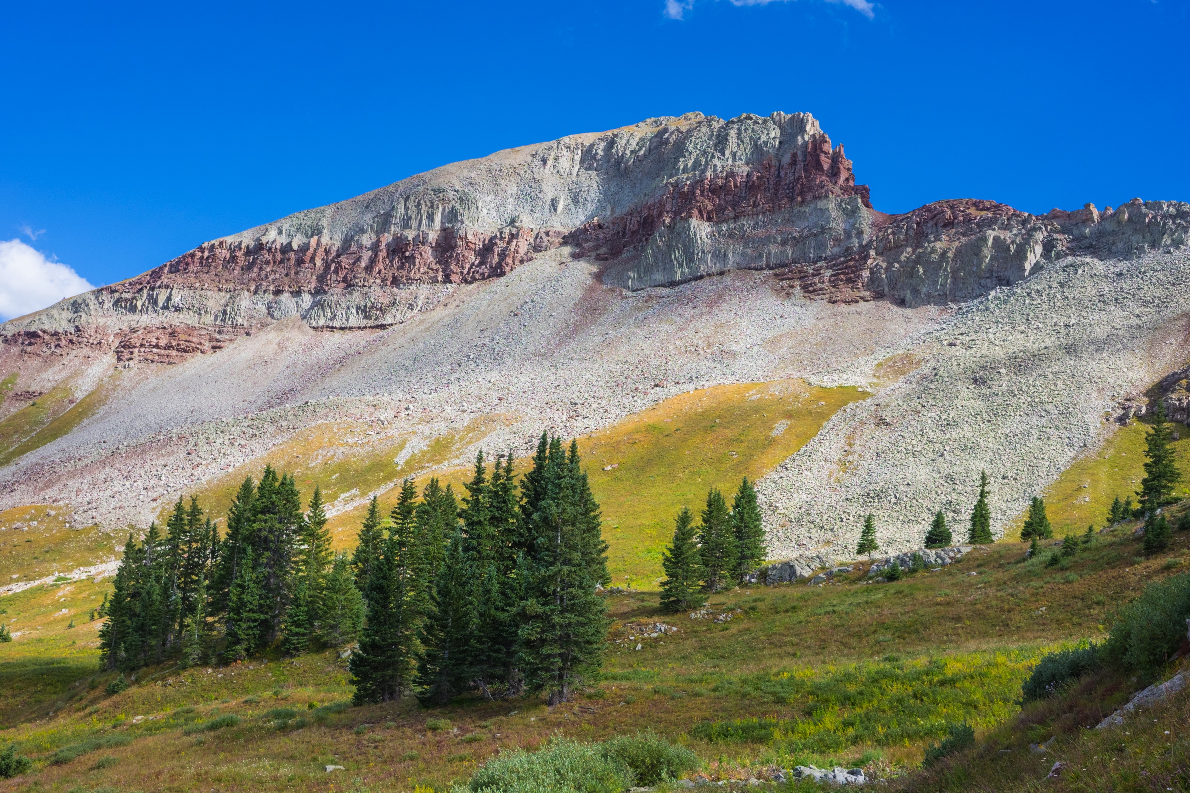
Now we’ve hit the San Juans. This is where the beauty of the Colorado Trail really shines. This is a view of Cataract Lake, one of the many alpine lakes on the CT.

Lakes on top of mountains.

Mom: “Where are you?” Me: “Colorado.” Mom: “Could you be a bit more specific?” Me: *sends mom this photo*

Hiking out of Silverton. This is the last stretch of the CT before reaching Durango.

The very same day I hiked out of Silverton, I was hit by rain. This is fine, I thought, and continued hiking. Then the rain turned to hail. This is also fine, I thought, and continued hiking. Then the lighting started. This is not fine, I thought, as I crouched in some nearby bushes and waited for the lightning to pass. Ten minutes later, the storm ended. Lesson of the story: Colorado weather is crazy.

The CT is so nicely graded because hikers share the trail with bicyclists. While this does mean you have to stay alert – though bicyclists yield to hikers, it’s easier for a hiker to step aside – most of the bicyclists I met were very courteous. Local mountain bikers would even stop to chat, and would share tips with me on their favorite water sources and spots to camp.

Approaching Hermosa Peak.
Coming up towards Blackhawk Pass.

The other side of Blackhawk Pass.

Kenosha Pass, the last view before hiking ten miles downhill into Durango.
Hope you enjoyed the journey! To check out more of my photos from the Colorado Trail, Appalachian Trail, and other places I hike, follow me on Instagram.

This website contains affiliate links, which means The Trek may receive a percentage of any product or service you purchase using the links in the articles or advertisements. The buyer pays the same price as they would otherwise, and your purchase helps to support The Trek's ongoing goal to serve you quality backpacking advice and information. Thanks for your support!
To learn more, please visit the About This Site page.

Comments 1
Nice photos. Next on the bucket list.