 ">
">
Around and Around, with No Exit in Sight
 After a long ride from a kind local, I stepped out on the top of the world: Monarch Crest. The summit of the pass was absolutely freezing cold and the fresh mountain air set the adrenaline racing through my body for what was to come. One day of the high Collegiates, the highest mountains of Colorado!
“But wait, I thought you were doing the Collegiate East route…?”

It’s a very aesthetic sign
Back in Salida, in the hot springs pool actually, I was debating about this very problem. If you haven’t read my earlier blog post, I hated the Collegiate East route. It’s hot, dusty, sandy, and has very little reward for the climbing work you put in. Additionally, right out of Salida, the East has a grueling 3,000+ foot climb to rejoin the West above treeline. Faced with the choice between the legalistic ideal of connected footsteps, and that of free-spirited adventure, me and Phoenix chose to take adventure.

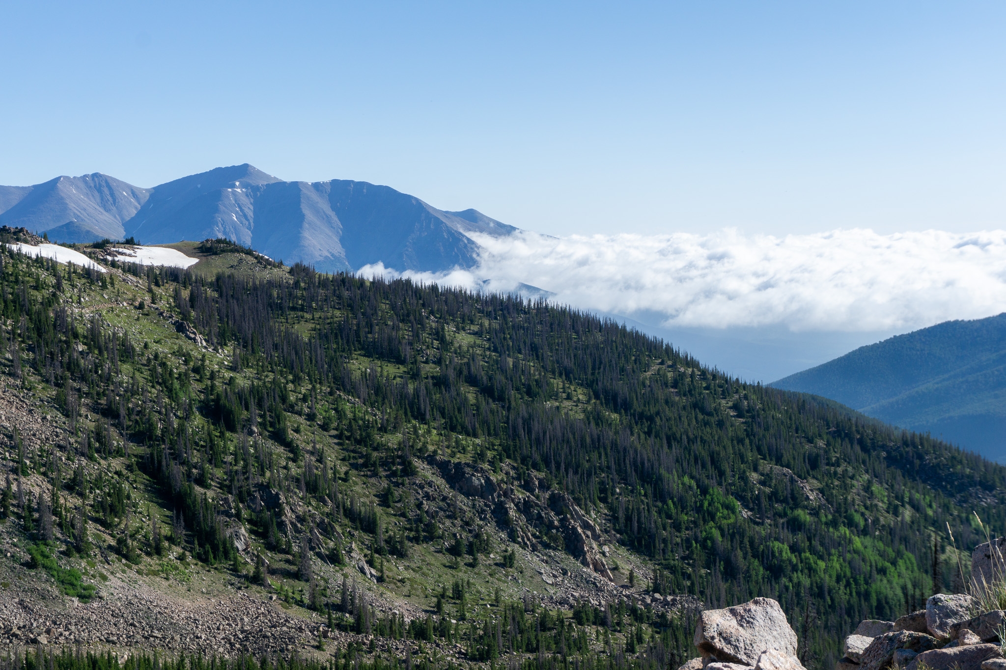
Soooooo beautiful. I can only imagine what the entire Collegiate West is like
After all, why am I doing this at all? So yeah, I “skipped” a hard climb in favor of epic coast-y trail above treeline. Come at me, it was worth it.

As the trail wound on, my resolve began to weaken.
“Maybe I shouldn’t have eaten so many Safeway donuts” I thought to myself, obviously on a sugar crash. Looking out, my mood shifted, seeing all the cow fields that were in store for me the next three days. The alpine trail slowly transitioned to meadows with scattered trees, then to vast stretches of beetle-killed forest. I passed a boy scout troop coming towards me, and the scout leader warned me the next few water sources were dry, a sentiment that would be repeated over and over again the next 70 miles.

Mt. Ouray, 13,979 ft.
The trail descending under Mt. Ouray, I wondered about the mountain above me. From the trail it seemed so impossibly tall, yet it falls just short of the magic 14K mark, somehow unworthy of the fame and recognition of its many slightly higher brethren north of Monarch Pass. “21 feet is nothing for a mountain two and a half miles tall,” I thought. Would I suffer the same fate, coming so far, yet not far enough?
Around and around the roundabout…
The next 2 ½ days, I walked through the hot, dusty, roadwalky, cow-filled border of the San Luis Valley. If anyone ever tries to talk this section of the Colorado Trail up to you, they’re lying. There is only one redeeming factor: it is a relatively flat trail (since most of the trail is on roads though here), so with trail legs, you can fly through at 25+ miles per day, easily.  My days were punctuated with the occasional water source: Tank 7 Creek, Razor Creek, Lujan Creek, Manchego Creek (that’s about it). Between the cow-corrupted waters of the creeks are long, exposed, hot roadwalks. It’s a rough few days, for sure.
Now that the fear mongering is out of the way,
This section may suck, but it’s only 70 miles. A day in, Phoenix and I came across a couple new thru-hikers, Hitch & Switch. To pass the miles, we found and identified wildflowers along the way, visited the mysterious Soldierstone, had campfires in the cow fields, and listened to many, many audiobooks and podcasts.

Columbines!!!
Before I knew it, we were at the base of the San Juan Mountains, a place seeming so impossibly far from Monarch Pass. In the Cochetopa Creek Valley, July 8th, I knew the final stage of my journey was about to begin.

Cochetopa Creek, at the base of the San Juans.

This website contains affiliate links, which means The Trek may receive a percentage of any product or service you purchase using the links in the articles or advertisements. The buyer pays the same price as they would otherwise, and your purchase helps to support The Trek's ongoing goal to serve you quality backpacking advice and information. Thanks for your support!
To learn more, please visit the About This Site page.
