 ">
">
East Glacier to Helena – Don’t Worry, We Still Have 12 Hours of Daylight
Day 9
Will, one of the hostel owners, dropped us off at Maria’s Pass and we walked north today, back to East Glacier. We’re able to keep most of our gear and food back at the hostel so we can hike with a light day pack. It was a smooth sailing kind of day. We hear a few rumbles of thunder but experience no rain. We make it back to the hostel in the afternoon with plenty of time to enjoy town delights before another long stretch tomorrow.
Day 10
Finally, we are leaving East Glacier and Looking Glass Hostel for the last time. The vibes were right and the owners are the coolest you’ll meet, but I’m excited to get moving south.
We hiked through a national forest connecting Glacier NP to the Bob Marshal Wilderness. Wildflowers and tall weeds danced in the light breeze. The live trees creaked. The dead trees whistled. The sun was warm but the gusty winds felt like an oscillating fan cooling my skin. A few water crossings are not rock-hop-able, so our feet got wet.
A new ache in the back of my knee appeared. I slowed my pace. My backpack is on the heavier side, weighing in at 30 lbs for this stretch. The next resupply stop is six or seven days away.
We stop at the ranger station to eat dinner with True Grits, Toast, and Ice Man. The house is currently unmanned, so we stretched out on the porch and dried our socks and shoes in the sun. In grizzly country, you shouldn’t eat where you camp. We head south another mile or so and make camp on a soft bed of pines. This is Uncle Dipper’s last night with us.

Day 11
Uncle Dipper walked north back to his car. We walked south. We took a low route alternate to avoid a climb. We lost the trail for a 1/4 mile and bushwhacked our way back to it. My knee is feeling better today. It’s warm and sunny. The mosquitoes are worse today than they have been so far.
At a river crossing, I hop to a rock a little too far and a little too slippery. My foot slips on wet moss and my other leg instinctively tries to balance my body and prevent a fall. My foot ends up getting caught under a rock and I plunge into the creek. Luckily, I walk away from the fall with only a bad softball-sized bruise forming on the inside of my calf. I decide from now on, I’d rather get my feet wet than risk an injury from rock hopping.
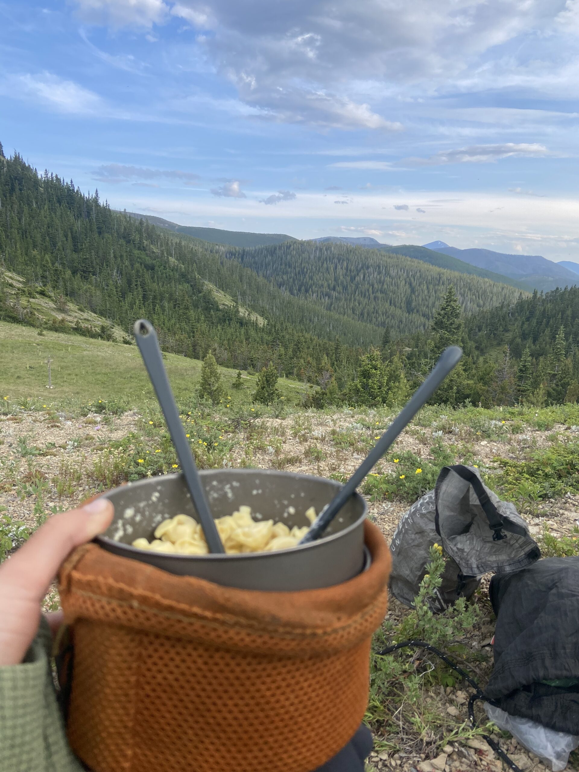
The trail winds through dense forest, occasionally dumping us out into wildflower-filled meadows. We stop at a creek to cook dinner. Then continue on for three more miles, leaving the ramen fumes far away from our campsite for the night. We manage to find a flat spot with no burnt dead trees too close. We pitch the tent together. Ketchup Daddy hangs the food bags while I set up our air pads. We enjoy our little slice of mosquito-free heaven. Today was the first day we didn’t see a single other person.
Day 12
The sun heats us up quickly as soon as it makes it over the ridge. We walked through burnt trees for most the day, providing very little shade for us. It’s a good thing for our wet gear, though. Our tent and quilt dry out quickly in the sun, while we curl under one of the only live pine trees left standing and eat lunch.
Our wet socks and shoes were a different story. One creek crossing after another. As soon as our shoes dried out, we’d have to get them wet again. We decided to take an alternate. It’s shorter, supposedly has a beautiful pass, and a camp spot by the lake we are aiming for. The alternate takes us away from the burnt section for a few miles. It swallows us deep into a pine forest. Every other switch back ends with a waterfall view.
We stopped at a little creek for water. The round rocks which lined the bottom and banks could be seen clearly through the crystal water. We decided to rinse off in one of its shallow pools. It was cold water but felt good on this hot summer day.
The next climb was tough, but we’re still getting our trail legs. We reached the lake but decided to cowboy camp at a nice spot with a view of the valley below. The mosquitoes die down in the windy and chilly night air.
Day 13
I catch a beautiful sunrise over the valley and drift in and out of sleep until a deer trotting through camp acts as our alarm clock.

It’s insane how many hours of daylight we are currently getting. Seems like it’s light out from about 4:00 a.m. to 10:30 p.m. We joke that no matter what time of day it is, there’s always 12 hours of daylight left in the day.
10:00 a.m.? Don’t worry, we’ve got plenty of daylight left… at least 12 hours.
3:00 p.m.? Not a problem, we’ve got like 12 hours of daylight left.
7:00 p.m.? No worries we’ve still got … *looks at watch* … 12 hours or so left of daylight.
Even at night, it’s still bright. I haven’t been able to see the stars very good. The moon acts as a spotlight and has even caused momentary confusion when I wake up in the middle of the night to such a bright light.
Compared to Glacier, we haven’t seen very many people. We saw two this morning. And three this evening. It truly feels like a wilderness when you don’t see many other hikers and you don’t hear cars or trains in the distance. The only manmade structures we’ve seen out here are unmanned ranger stations. We ate lunch on the porch of one today and dreamed about being hired to man the station together. I’m loving this section. It is exhausting, but there’s no place else I’d rather be.
Day 14
We ate breakfast by the lake we camped near as the sun struggles to warm up the morning chill. Just a couple miles into the day, the trail dumps us at the foot of the Chinese Wall. It is a sight to see. Even surrounded by mountains, it looks like a foreign object. It is massive. There is so much character and color in all its cracks and crevices. We walk parallel with the wall, at its base for several miles. The wall looms over us for most of the day and I walk in awe of it. I wonder if the marmots know how beautiful their home is.

I study the mountains all day as I walk near them. I can’t help but to compare them to the mountains I loved so much on the Pacific Crest Trail. The mountains look different here. I can’t put it into words, but I can picture it in my head. Not worse. Not better. Just different. I enjoy their differences.
We snag a spot to eat lunch with a view. There’s clouds today. They look potentially ominous, but nothing ever comes of it. We briefly speak to a cowboy who lost two mules in the night. The latter half of the day is spent descending. There are more people on this side of The Bob and maybe subsequently, better maintained trail and bridges. It’s a peaceful hike in the comfort of trees. We briefly speak to another cowboy who lost a horse and a mule today. I’m starting to wonder what’s going on with these cowboys.

We get spoiled with another view at dinner. The mountain had crumbled away where the switchback turns, leaving unobstructed views of the river below. Another few miles and we find a cozy spot by the river. We wash our feet in the river and dry them out with the warmth of a small fire. I am lulled to sleep by the sound of the river flowing over smooth stone and crickets playing rhythmic tunes. After dreamily gazing out my tent door at the mountains for as long as I can, my eyelids grow too heavy, and I fall asleep.

Day 15
It was a full moon last night. So, basically the transition from day to night was like going from one giant warm light to one giant white light. The sun did not break through the clouds this morning. Although it looked like it could rain at any moment, it didn’t. The clouds were low and the weather was moody. A pleasant change from the relentless sun.

We arrived to Benchmark and secured our resupply boxes. We over packed and judging by the excellent hiker box, so did everyone else. We ate lunch with Ice Age, Toast, and a few new hikers we had never met. I took a nap on the ground in the sun.
We headed back to trail in the afternoon. After a few hours of hiking, the skies were in a tug of war. A couple long low rumbles of thunder were released. It was simultaneously raining and sunny. Eventually, the sun won. We had trouble finding a decent camp spot in yet another burn section. Our feet were aching, begging to be done for the day. We caved to a flat spot that was a little too close to dead trees for our liking, but it seems like the best option for tonight.
Day 16
We came across another ranger station today. It’s a special treat because we can use their privy! I don’t understand why all the ranger stations are empty. The morning was slow going, but we hit a stride in the afternoon. The final couple of miles of the day were a steep incline. We camped up on top of the exposed ridge. The wind died down for us and it ended up being a great spot!
Day 17
We walked on the ridge today surrounded by endless Mountain views. This section of trail was pretty challenging because it was so steep. The inclines were exhausting and the declines were hard on my joints.


What started as sunny skies turned dark and rumbled with thunder by afternoon. We walked faster in an attempt to outrun the storm, but soon it was overhead and started to sprinkle. Mysteriously, the storm completely fizzled out as quickly as it had appeared and it was sunny again.

We ended up pushing on and got to the road crossing at 8:30 p.m. with plenty of daylight left but not very much traffic. We decided we’d let fate decide if we were going to town tonight or tomorrow. If we got a hitch by 9:00, we’d take it, otherwise we’re camping here tonight and trying again in the morning. At 8:55 p.m., a car stopped for us.
One thing I love about thru-hiking is how flexible you must be. You can’t plan everything out. Most things you have to just figure it out as you go and you won’t succeed if you’re not willing to be flexible. A good reminder for my inner control freak.
Lincoln is a two-traffic-light kind of town with more restaurants and motels than one would expect of a town this size. We get dropped off at a restaurant that allows hikers to camp for free in the grassy backyard.
Day 18
zero day
Fun fact: Lincoln is the town of the unabomber. We picked up our package from the same post office the unabomber used!
We opted to take a zero today. My knees took a beating on yesterday’s steep trail and Ketchup Daddy has some blisters to tend to.
Day 19
We hitched out of town around noon. With more traffic it was a much easier hitch out of town than in.
Another sunny day hiking on the exposed ridges, but these don’t seem to be as steep. Water sources are not abundant up here. A 12-mile carry isn’t bad, just an adjustment from the endless water sources we encountered earlier on trail.
We camped at a trail head, with a bear box and privy, along with Forrest, Professor, Quick Draw, JK, Beer Run, and Lucky Hat. Professor had family in the area, and they drove up here with frozen daiquiris, grapes, apples, chocolate, and pecans. Our first trail magic! We ate dinner at the picnic table and talked until the sun went down. I fell asleep to the steady stream of crickets and elk bugles in the distance.
Day 20
We got trail magic again this morning (same people). They gave us a mountain house breakfast meal, water, and iced coffee.
We stopped at a gear store 1/4 mile off trail around lunch time. We got a few things including new shoes for Garrett. Perfectly timed considering his old shoes were being held together by zip ties. The gear store was cool and had everything us hikers could want.
We hiked across more exposed ridges. The biting flies were out in full force today. I had to walk and swat my legs every other step.
Within our last mile of the day, we began to walk into a dark and stormy cloud. As we got closer, it faded away into another direction. We watched the clouds release rain on the next ridge over and a rainbow even appeared. Since the skies cleared up, we set up for another night of cowboy camping.

Day 21
We woke up to sprinkles of rain just as the sky was getting light. We decided to pack up and start hiking. When it started raining a little heavier, we sat under a tree with our tyvek sheet strung up making a little fort, and we fell asleep. When we woke up it was sunny again.
After a 19-mile water carry, we finally made it to our next water source. A piped spring that fills a pool for the cows to drink. We guzzled down water and ended up eating lunch there. As we were packing up to go, a thunderous herd of cows started running down the hill towards us. We frantically gathered our gear, because we were standing in between them and their water source!

We hiked through lots of cow pastures today and that was fun. The cows either ran away scared or just stood and curiously stared at us. While afternoon thunder is becoming normal, it doesn’t always mean rain. This time it actually did rain hard. We sat under a tyvek sheet tree fort again but didn’t fall asleep this time. The lightning moved on, but the rain stuck around a bit longer, making it safe to start walking again. We set up camp on a ridge overlooking Helena, our next trail town.

Day 22
I was woken up once last night by coyote howls and once more when it started storming on us. Good thing we didn’t cowboy camp like we had wanted.
We hiked the short 6.8 miles to the road crossing. A nice man pulled over and offered to give us a ride into town, but warned us he was moving and didn’t have a lot of room in his car. I sat in the back seat, my legs went numb under the weight of a tote full of lamps and crockpots on my lap, plus my backpack on top of that. But I was just happy to have a ride. At the post office, another nice lady offered to give us a ride to our next destination in town. I love hiker friendly towns!
After food and town chores, we spent the rest of our nero resting our bodies. We’ve been on the trail three weeks now and I’m so impressed with how well our bodies are adapting to longer and longer hiking days.

This website contains affiliate links, which means The Trek may receive a percentage of any product or service you purchase using the links in the articles or advertisements. The buyer pays the same price as they would otherwise, and your purchase helps to support The Trek's ongoing goal to serve you quality backpacking advice and information. Thanks for your support!
To learn more, please visit the About This Site page.

Comments 1
So, there’s more fact in the “mountains look different here” then you might realize. The Rockies and the Cascades (for example) were created very very differently, so it would be reasonable to think that they would have a different topography and views and such. 👍
If you didn’t know, the Northern Montana Rockies are primarily made up of enormous, quick acting thrust faults first created about 100 million years ago. Southern MT’s Rockies are a mix of thrust faults and parts of the Larama(sp?) Formations that make up most of the Rockies in WY & CO.
My beloved Beartooth Mountains just North of Yellowstone are one of these “blocks”that got pushed up through the N American plate.
I’m pretty sure that the Chinese Wall is the end of one of those thrust plates just camping out above ground. 😄