 ">
">
Going 0.75 Miles an Hour – Sierra High Route – Day 2
I woke up at 6:45 a.m. with the sun. Eight hours of fitful sleep would have to do. As I was packing up, I saw Ken and Charlie (the two guys who started hiking the Sierra High Route seconds behind me yesterday) hiking by and waved hello.
I started hiking at 7 a.m. My goal for today was to pay closer attention to my maps and not rely on the GPS too much. With my first goal for the day—Grouse Lake Pass—in sight, this seemed like a nice, easy obstacle.
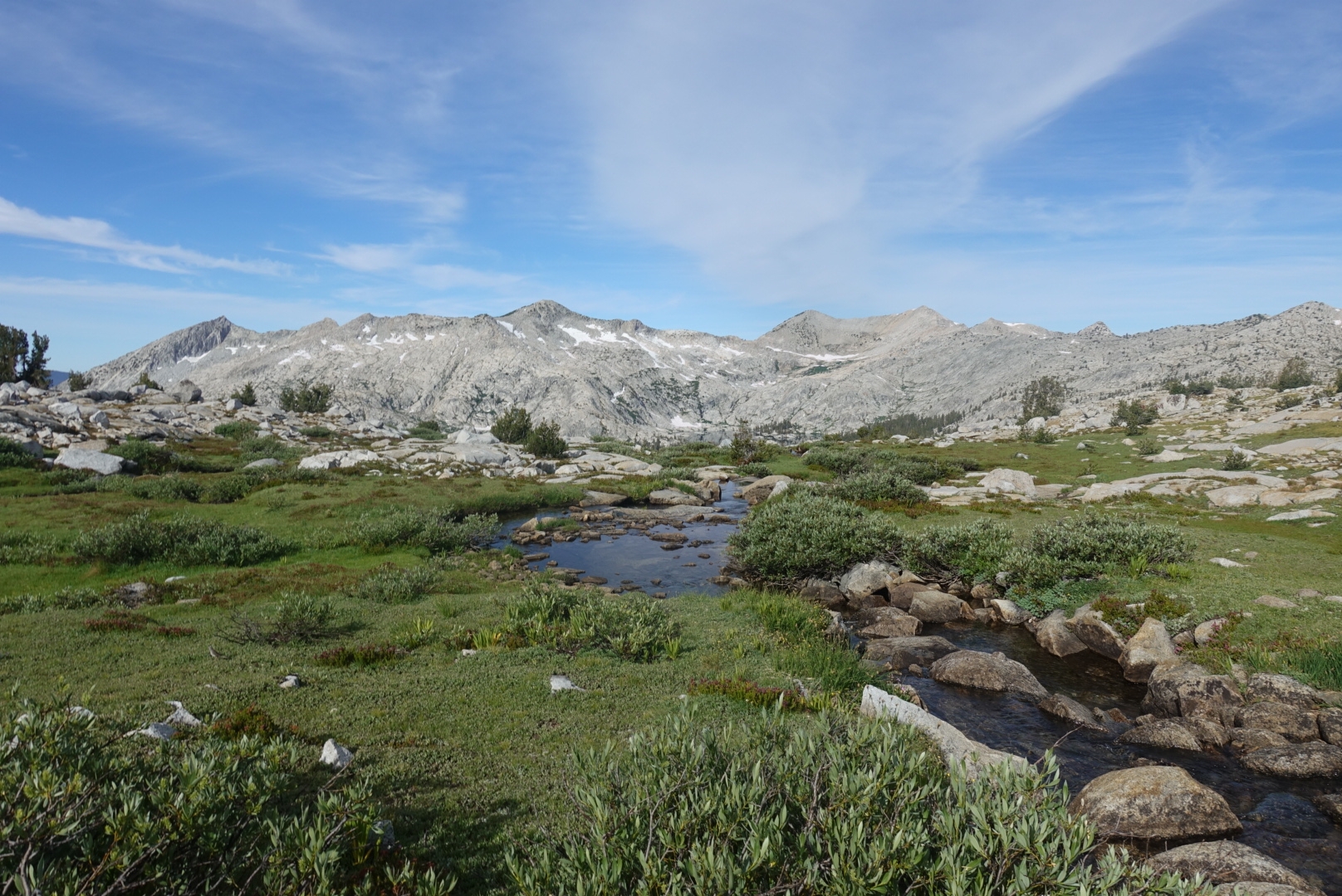
Grouse Lake Pass

Grouse Lake Pass is clearly visible from Grouse Lake and has many obvious and safe routes to the top.

Looking back on Grouse Lake as I climb Grouse Lake Pass.
This is what I thought the Sierra High Route would be: clear landmarks, beautiful granite, and fun wandering to the top. No GPS needed. Enter picture here of Amelia feeling very proud of herself. Even though the grade wasn’t bad and the route-finding was simple, I’m still out of breath as I hike to the top. Less than 24 hours ago I was living at sea level, now I am at 11,050 feet. Luckily I don’t have any altitude sickness symptoms (yet).
Ken and Charlie don’t take the same route as me to the top of the pass, but we get to the top at the same time. We both take out our copies of Sierra High Route and read Roper’s description of how to get to our next goal: Goat Crest Saddle.
Goat Crest Saddle
A “meandering brook” with Goat Crest Saddle out of frame to the left.
Roper describes Goat Crest Saddle as an “amazingly gentle pass.” Perfect. It’s visible from where I am standing, and Roper says it’s a “mere” 1.5 miles away. After a quick break at the top of Grouse Lake Pass, I bid Ken and Charlie goodbye, and head down and around toward Goat Crest Saddle. I know my hiking speed on trail, but I have no idea what my speed is during cross-country route finding. Since I know the mileage to Goat Crest Saddle, I decide to time myself.
I have a dandy time. The terrain is easy and pleasant and initially slopping gently downward. I hit an adorable brook and pull out Roper again to double check my route: “…cross a brook. Continue north over rolling meadowlands, past Lake 10,979, to Goat Crest Saddle.” I look ahead of me and see rolling meadowlands with a saddle behind them and confidently head off.
There are no trails, but I do see stray footprints every once in a while. It’s a comforting feeling to know I am going the right way.
After hiking for a bit, I wonder how close to the top I am, so I give in and check my elevation on my GPS. I notice that I am not close to Andrew Skurka’s points that I have loaded into my GPS. I am at the wrong pass. I am at Granite Pass, one mile by crow west of Goat Crest Saddle. Instead of continuing north when I hit the brook like Roper said, I followed the easier-looking path northwest.
Not wanting to try my hand at making my own route, I backtrack to the brook. Luckily the terrain was pretty easy.
By the time I make it to Goat Crest Saddle it has been two hours. That makes my route-finding speed 0.75 miles an hour. Good to know.
Finally made it to the top of Goat Crest Saddle.
This is a fun time to point out that Steve Roper didn’t carry a GPS or even a compass. As he wrote:
“Some Sierra travelers always carry a compass; I have never done so and have never felt deprived. But a compass doesn’t weigh much, and, in a severe storm with whiteouts, or in the few dense, trailless forests encountered, it could prove useful.” – Steve Roper
Please carry a compass everyone, and know how to use it. A GPS is nice too.
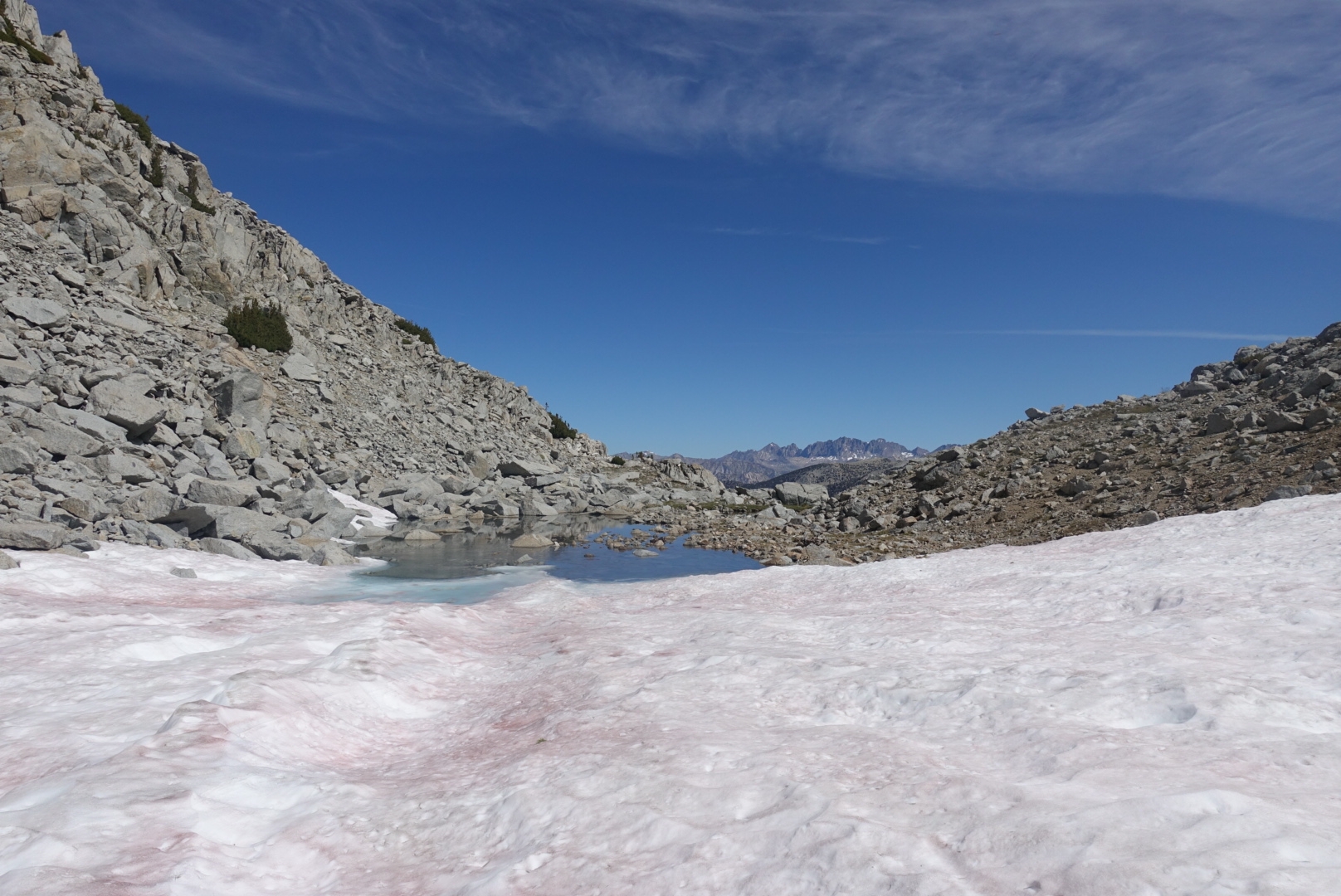
Glacier Lakes and Valley

Scrambling results. Maybe shorts weren’t the best option?
From Goat Crest Saddle I descend down to Glacier Lakes. I descend on the left-hand side, which results in navigating boulder fields and some bushwhacking. One thing that’s interesting about route finding is that I am never sure if I made the right decision. There is no one else out there to compare notes with. Though I did watch Ken and Charlie descend on the right-hand side behind me and they seemed to have an easier time.
A few hours later, I realized I was missing one of my Smartwater bottles and I assume it fell out while bushwhacking. Usually I pack out so much trash that I find on trail that I don’t feel too guilty when I accidentally leave a little trace. But it is so clean out here. I haven’t seen a single piece of trash yet! I am at net negative for littering!
I hiked through Glacier Valley and made my way past the State Lakes to Horseshoe Lakes. It was 3:30 p.m. and I didn’t want to stop yet. The next water I could see on my map was a creek on the other side of Gray Pass. Up and over it is then.
Gray Pass
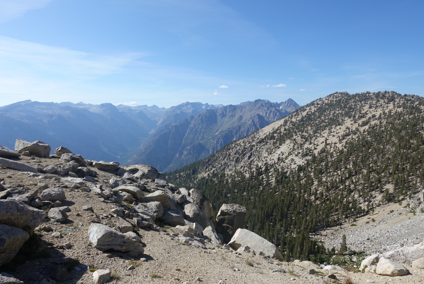
Looking back toward Horseshoe Meadows as I climb up to Gray Pass.
The approach side of Gray Pass wasn’t bad technically, but I was getting tired and the amount of climbing was getting to my quads. The descent side of Gray Pass was steep and full of scree that I sent in every direction as I skied down, but at least it was short. I skirted around on the side of Windy Ridge, trying not to lose elevation too quickly.
I reached the creek and set up camp by 5:30 p.m. The campsite had a great view, but, like everywhere else today, it was home to swarms of mosquitoes. Because of the mosquitoes, it was yet another day with no break longer than 15 minutes and no lake swims.
Today I ate less than 1,000 calories. I ate one packet of oatmeal (breakfast), one bar (snack), some electrolytes, and an Annie’s mac and cheese (dinner). I usually have a low appetite when I am first hiking, especially at altitude, but not this low. I packed 11.5 days of food for this first section, so I don’t have a lot of food allocated per day. This low appetite is probably good because I need to make the food stretch and this just means more food for when I am hungry later. Also, I don’t have any other altitude sickness symptoms, so I am not worried.

View of Windy Valley from my bivy.
Sleep time. Goodnight all.

This website contains affiliate links, which means The Trek may receive a percentage of any product or service you purchase using the links in the articles or advertisements. The buyer pays the same price as they would otherwise, and your purchase helps to support The Trek's ongoing goal to serve you quality backpacking advice and information. Thanks for your support!
To learn more, please visit the About This Site page.
