 ">
">
SMT Chapter 8: This Year is Cursed – Should I Keep Hiking?
Day 22: The Sun is Back!!
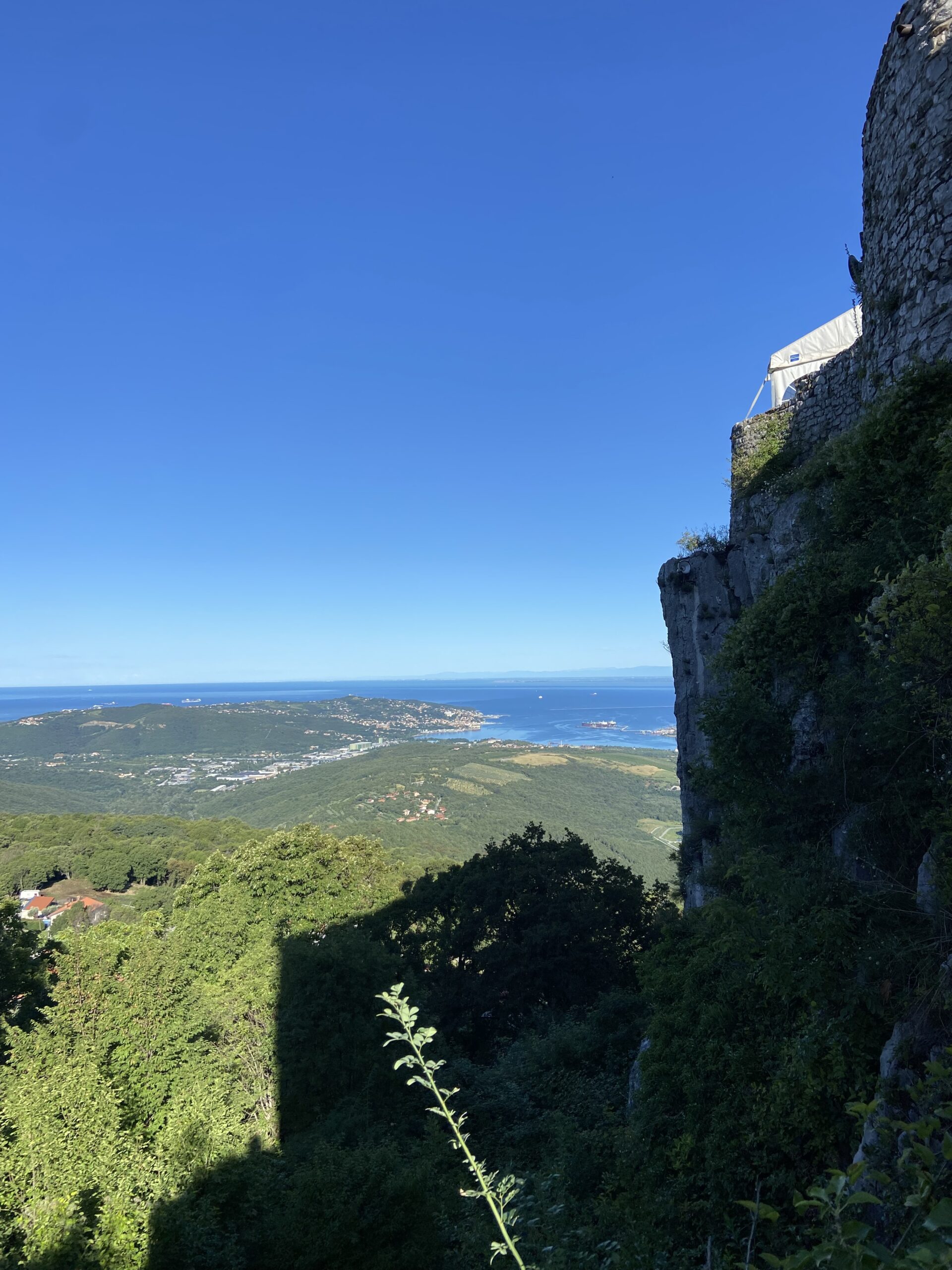
At 5:00 a.m., when my alarm went off, I quietly left my hostel room. After a quick breakfast in the communal kitchen, I began hiking before sunrise. The ascent to Tinjan brought memories of the torrential rain back to my mind, and seeing the church where we waited out the storm made me chuckle a little. This time, my path led me down the other side to the climbers village of Osp. I filled my water at a seemingly still-asleep campsite, then started my first ascent to Grad Socerb Castle. Since it was early in the morning, no one was around, so I sat on the wall, chewing on my dried mango and gazing back at the Adriatic coast. Under the clear sky, the sea appeared so much bluer than before.
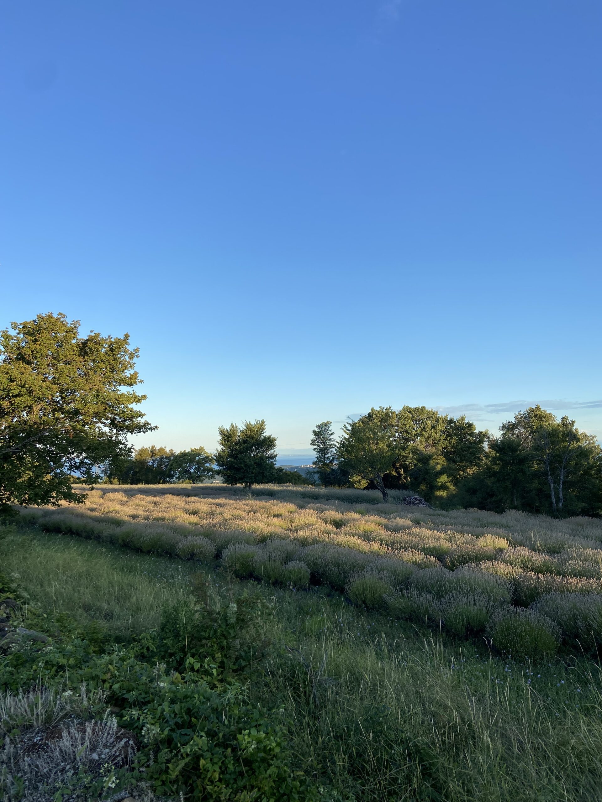
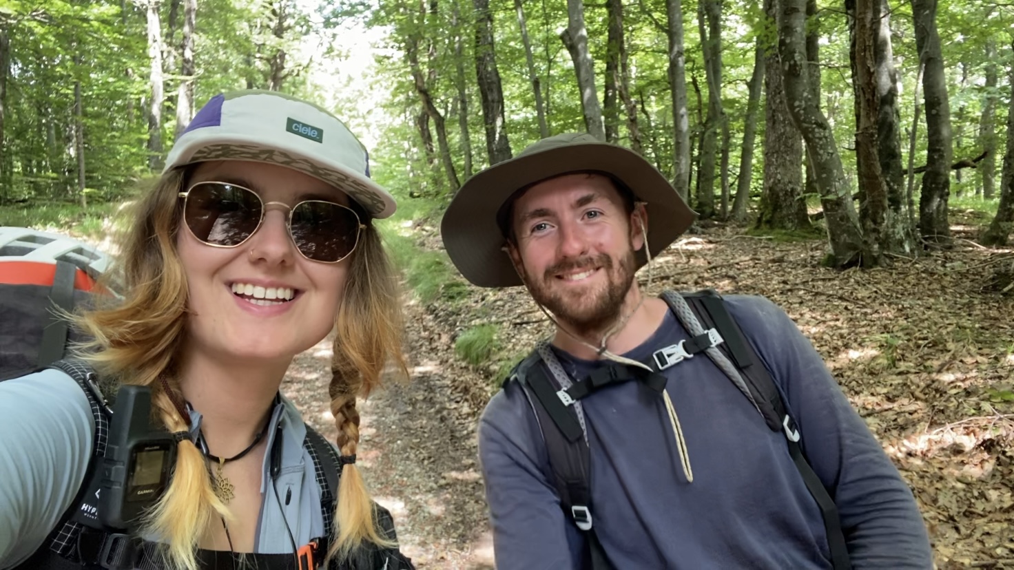
I walked across a large meadow and through two small villages to the “mountain” Slavnik. Although it was only 1028 meters high, it was my first real mountain since restarting down south. The trail was much flatter than what I was used to from the Julian Alps, so I even overtook two hikers on my way up. The summit hut was closed, but some day hikers still enjoyed the view of the sea. I cooked lunch on my gas stove and sat in the sun for a while. Just as I was about to put on my shoes, another hiker approached me. “Are you Helena?” he asked. I confirmed, and he explained that he had read my blog. His name was Zen, and we chatted briefly about the trail before I wished him all the best on his last day. He was a really nice guy and it was so sweet to see how many people read my blog and even recognize me when they meet me on the trail. If you read this, Zen, congrats on finishing and it was nice meeting you!!!
A long descent followed into Markovščina. However, the place seemed deserted, so I walked straight through. On the other side, I walked uphill on a road, through the forest, and eventually found myself in the small village of Artvize. There was a water source, so I refilled my bottles and sat on a bench. In the afternoon, some clouds had formed, and it looked like it might rain at any moment. So, I decided to take a short break until the clouds passed.
In the early evening, I continued walking. The path led downhill through the forest and along a river. My feet were hurting, as I had already covered 38 km, but I was already looking for a suitable spot to set up my tent. The river I was walking along crossed my trail, and I had to somehow cross it (there definitely wasn’t so much water here last time). There was no obvious way to cross with dry feet, but I did my best. As expected, my shoes got wet, but fortunately, just 200 meters ahead, I found a field where I pitched my tent.

Distance: 44 km, +1700 m, -1300 m
Day 23: I Finally got my Hiker Legs
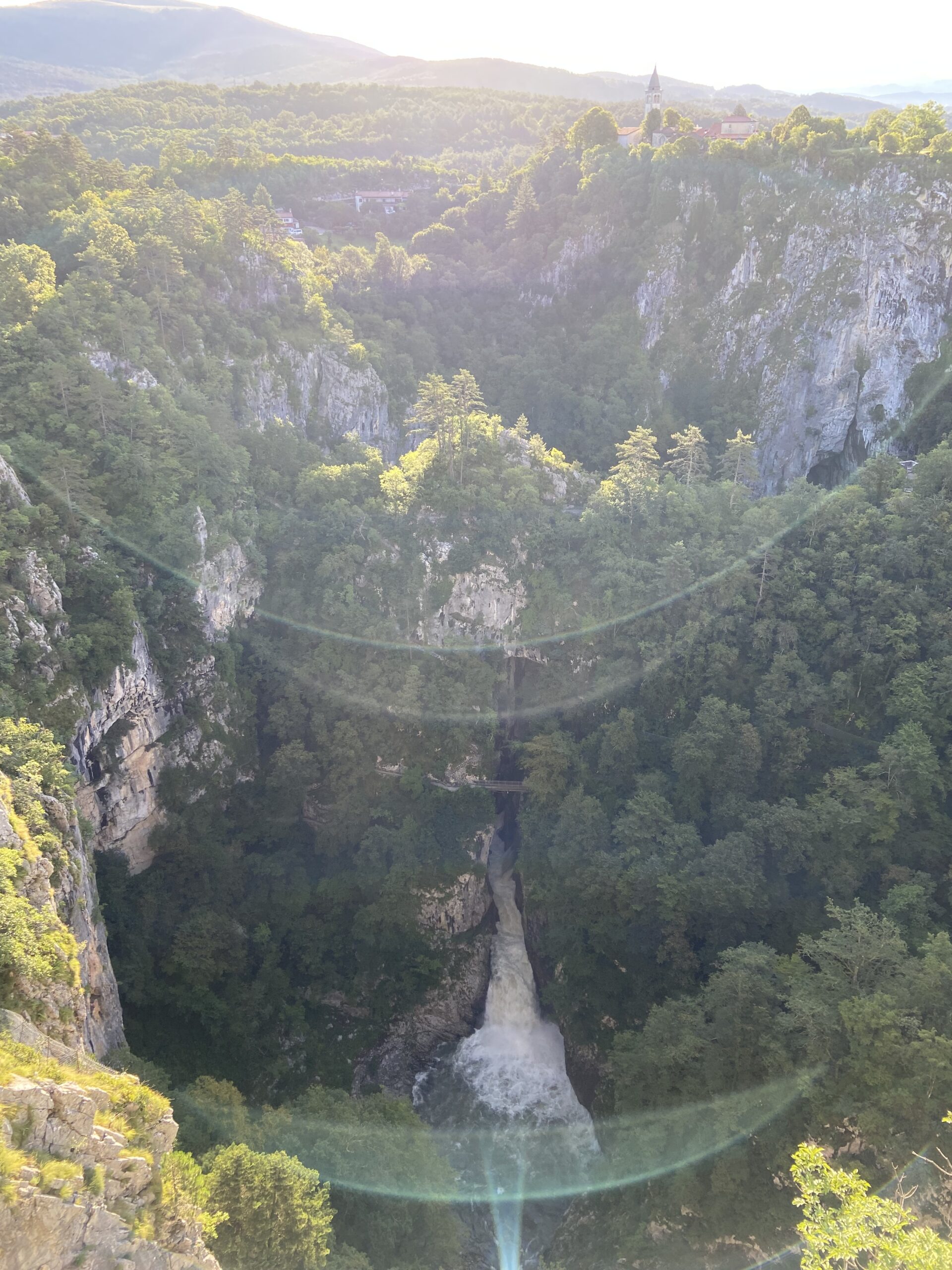
I slept surprisingly well in my tent and even ignored my 5:00 a.m. alarm to stay in my cozy sleeping bag a little longer. Eventually, though, it was time to pack up and get going. I walked alongside the river a bit more, crossed it two more times, ending up with wet feet, and finally reached Matavun.This place is known for its Škocjan Caves, which were added to the UNESCO World Heritage List in 1986 for both cultural and natural significance. Rainwater and rivers had once dissolved the limestone, shaping the famous caves and sinkholes. Since there were no tourists around so early in the morning, I had the entire viewing platform to myself.
I walked along gravel paths through the forest, across an airplane runway, and under train tracks. Here, the trail was completely overgrown, and I had to fight through thorny bushes and wild blackberries, which resulted in not only several scratches but also six ticks. Finally, I hiked over a small mountain where I dried my tent and sleeping bag in the sun and descended to Senozeče. This place was somehow bizarre; many houses looked abandoned, run-down, and neglected, yet every minute, road cyclists on S-WORKS or Cannondale bikes whizzed by
I stocked up on food at the supermarket, sat on a bench to eat my yogurts and kiwis, then planned the rest of the day and put my feet up for a bit.
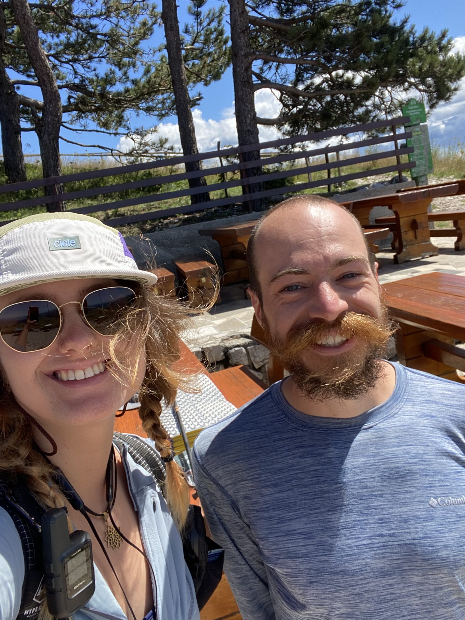
After the break, the trail led back through the forest, where I met Johnny. We had already communicated on Instagram, and he knew my YouTube videos about the SMT. I chatted with Johnny, who was genuinely nice, and as he had a few more kilometers ahead of him for the day, we said our goodbyes.
I reached Razdrto in the early evening, refilled my water bottles at a campsite, and began the final ascent to the just above 1200-meter-high Nanos Mountain. My backpack felt heavy on my shoulders; as always, I had bought a bit too much food (better too much than too little). The ascent felt longer, was steeper than expected in parts, and I paused several times on the way up. When I finally reached the summit, I was ravenous, so it was time for dinner. The mountain hut was closed, but other hikers had told me it was a great spot for camping, so I began setting up my tent.

A little later, another hiker passed by. Unfortunately, I didn’t ask for his name, but he was Slovenian and told me I was in bear territory. We chatted for a bit, and he bid farewell to walk a little further.
Distance: 33.6 km, +1757 m, -932 m
Day 24: My Feet Don’t Like Hiking on Roads
For some reason, last night was freezing cold. I was awake almost the entire night due to feeling cold, even though it wasn’t actually that cold. After finally tucking my head into the sleeping bag, I managed to find a bit of sleep.
Just after 5:00 a.m., I put on my down jacket and packed up the tent. Then I had a quick breakfast and started hiking towards Podkraj.
The rest of this day was mostly hiking through the forest. After about two hours, I reached a hut, had a coffee, and used its Wi-Fi to send messages and check the weather. After a few more hours in the woods, I arrived in Podkraj exactly at noon – a small village without a supermarket but with a church. I found a bench in the village center, sat down, and behold: my phone had connected to Wi-Fi. It was an “Educom” network, which firstly meant I was near a school, and secondly, I was already connected to the network, as Educom requires student login credentials. Anyway, a relic from past hikes.
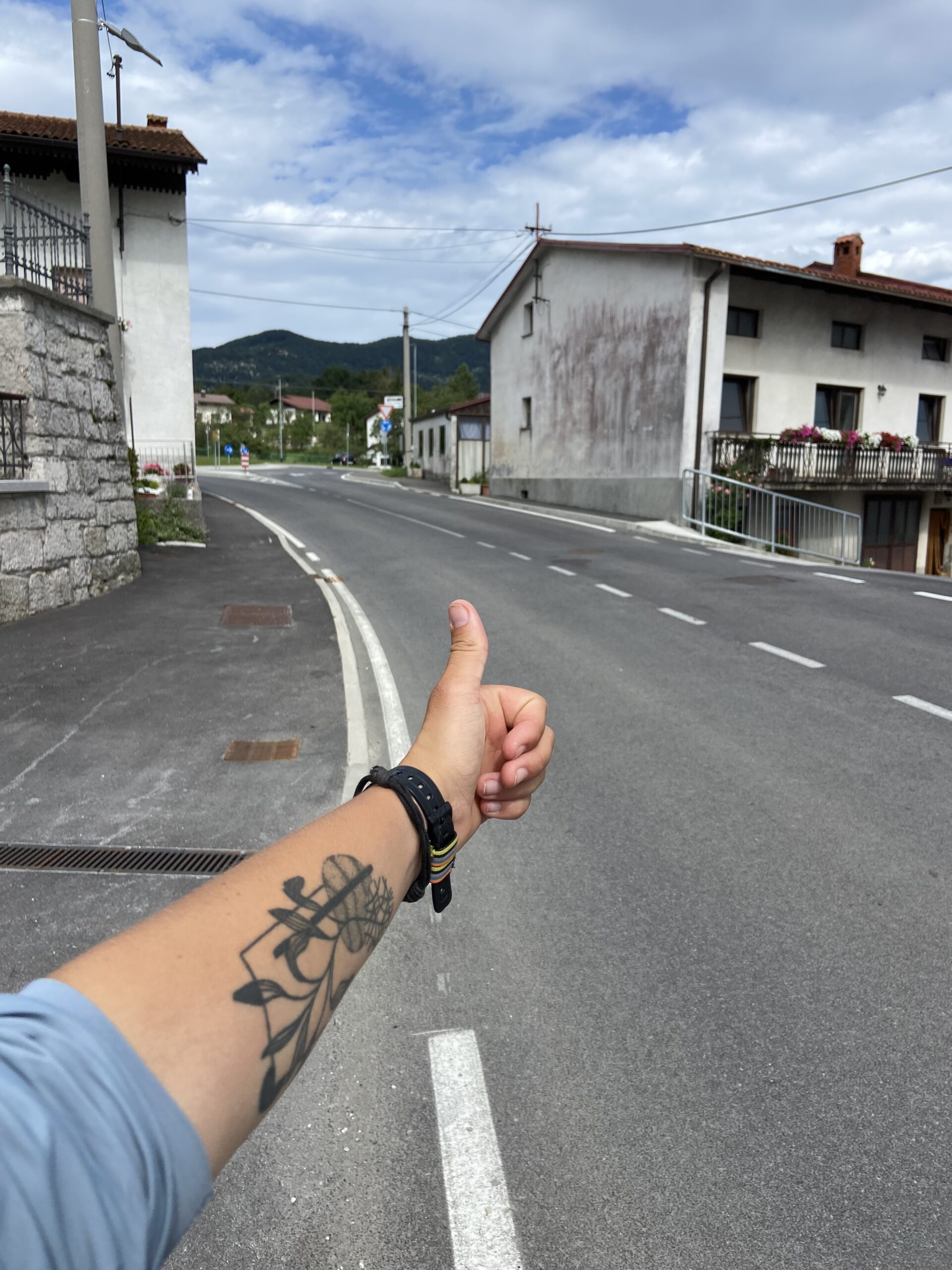
I had to decide whether I wanted to hike over Mount Javornik or not. I had booked a hostel in Ajdovscina for tonight, but this town wasn’t directly on the trail. So, I either had to add an extra 10 km or hope for a hitchhike. There was also the option of skipping Javornik, walking directly to the road to Ajdovscina, ideally hitchhiking into town, and worst-case scenario, adding the 10 km. After some consideration, I chose to hike over Javornik; my luck with hitchhiking had been relatively consistent lately.
The hike to the hut on Javornik was rather uneventful. I walked mostly on forest roads through the woods, and the hut was closed. I didn’t linger there for long and started making my way downhill. During a short break, I found a tick on my leg and removed it (number eight in the last 24 hours!). The descent felt long; I listened to podcasts and tried to keep my spirits up.

When I finally reached Col, where I planned to hitchhike to Ajdovscina, my aforementioned hitchhiking luck seemed to elude me at first. Several cars passed by, and I even contemplated calling a taxi. Finally, someone stopped and even took me directly to the supermarket. We chatted a bit about the trails in the area, and I thanked them for the ride.
The supermarket was enormous. I bought way too much food, to the point where I couldn’t even fit everything in my backpack. With a plastic bag in hand, I walked to my hostel. The last 30 minutes of each day were always the worst for my feet, especially walking on roads.
After checking in, I took a shower and put all my clothes in the washing machine. Wearing only in a towel, I returned to my room, which I would have all to myself today.
Unfortunately, things took a different turn. I began to feel mild discomfort in my stomach, which later turned into severe nausea. Certain that I needed to vomit, I went to the bathroom multiple times, but nothing came out. I fetched a plastic bowl from the kitchen and placed it beside my bed. I felt absolutely miserable, still as if I were about to throw up any second. My body was sending me all sorts of signals not to eat, but my boyfriend persuaded me on the phone that I needed to eat something. I reluctantly forced myself to eat a yogurt, which fortunately stayed inside.
Distance: 34 km, +825 m, -1439 m

This website contains affiliate links, which means The Trek may receive a percentage of any product or service you purchase using the links in the articles or advertisements. The buyer pays the same price as they would otherwise, and your purchase helps to support The Trek's ongoing goal to serve you quality backpacking advice and information. Thanks for your support!
To learn more, please visit the About This Site page.
