 ">
">
Making Tracks to Mexico: A PCT SOBO’s Final Chapter
For some reason, arriving in Wrightwood flipped a switch for me. Mexico is right there, I started telling myself. Just don’t get hurt, and you’re there! I went about my errands in town in a nearly celebratory manner. At the grocery store, I picked up a massive deli sandwich to eat while repackaging my food. We all sat at the tables outside, talking excitedly about what the end of the trail might be like. While I was waiting for a package to arrive, we sampled the lunch special at a Mexican restaurant. The five-cent margarita to wash it down was an excellent choice.
We spread out a bit on separate errands. Leafy and I went to the hardware store/outfitter, where I picked up my new pair of running shorts. I was so excited to get rid of the old ones, as many people would be after spending 2,000-plus miles wearing the same garment next to their skin every single day. Thru-hiking sounds so glamorous, eh?
Wrightwood sits up in the mountains, and we were starting to get chilly sitting around in town. We got a quick ride back to the trail in the back of a pickup. I was feeling an internal focus and clarity unlike anything I had yet experienced on trail.
Next Stop: Lunch
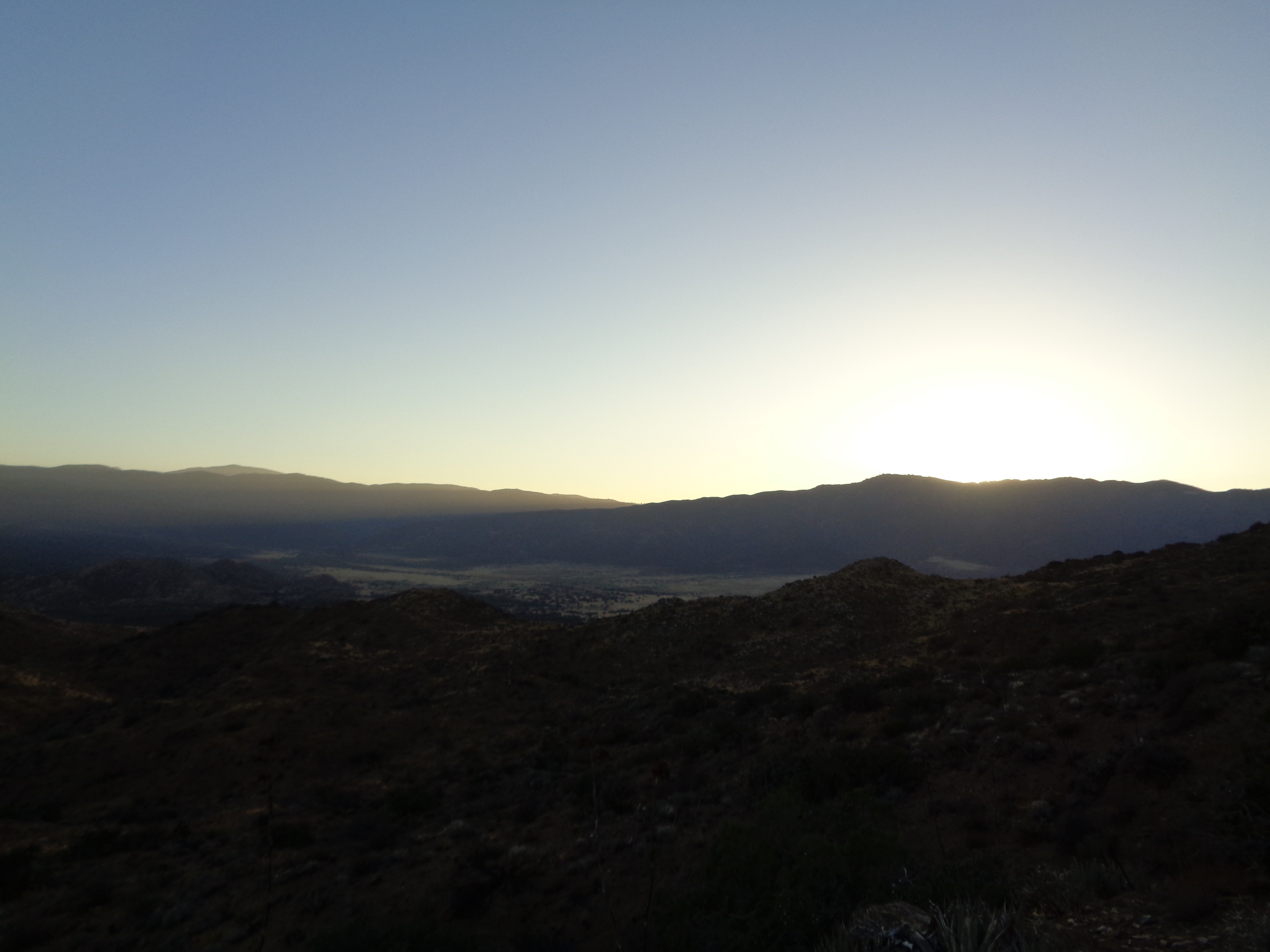
It was a short hike out of Wrightwood. Heading south along the top of a ski area, Per Bear missed the trail turning off a road and ended up rejoining the trail far ahead of us. We got to enjoy a gentle switchback climb up a grassy ridge just as the sun set. Again, we made it to camp a few hours after dark. 
We started a long but gradual descent back to the desert floor before dawn. The plan for the day was simple: hike 20 miles without stopping to the Cajon Pass McDonald’s, then decide from there. I was loaded up with easy-access snacks and what I hoped would be enough water. It was an uneventful hike, with mild terrain and no real heat until the very end. Coming off the final ridge before the highway, I could see a train moving slowly toward the at-grade trail crossing. Not wanting anything to interfere with my uninterrupted 20-mile stretch and fast-food reward, I raced that train with everything I had.

Sprinting downhill with a basically full pack to try to get in front of a train doesn’t top my list of most rational choices, but goddammit if I didn’t have a double quarter-pounder in my hands ten minutes later. Per Bear had already arrived, and the other three came in over the next 15 minutes. Greasy lunch (and, yeah, even second lunch) consumed, I got on the phone with my mom to try to coordinate the final details for her planned visit later in the week. Due to quirks of my pace and accessible meeting points, I was going to have to adjust my itinerary somewhat to make it work. We agreed to connect a few hours later to decide whether I needed to accelerate or slow down.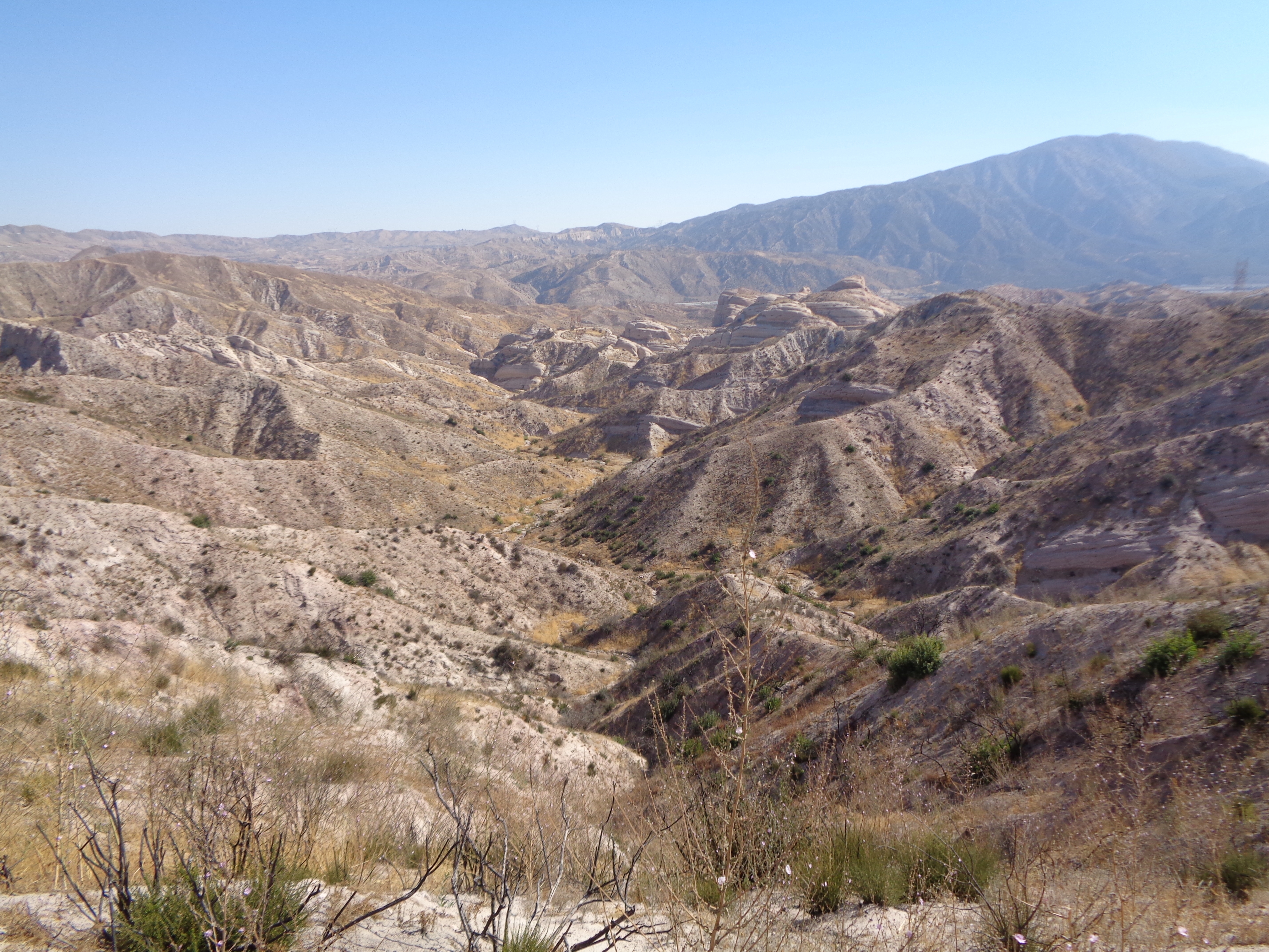
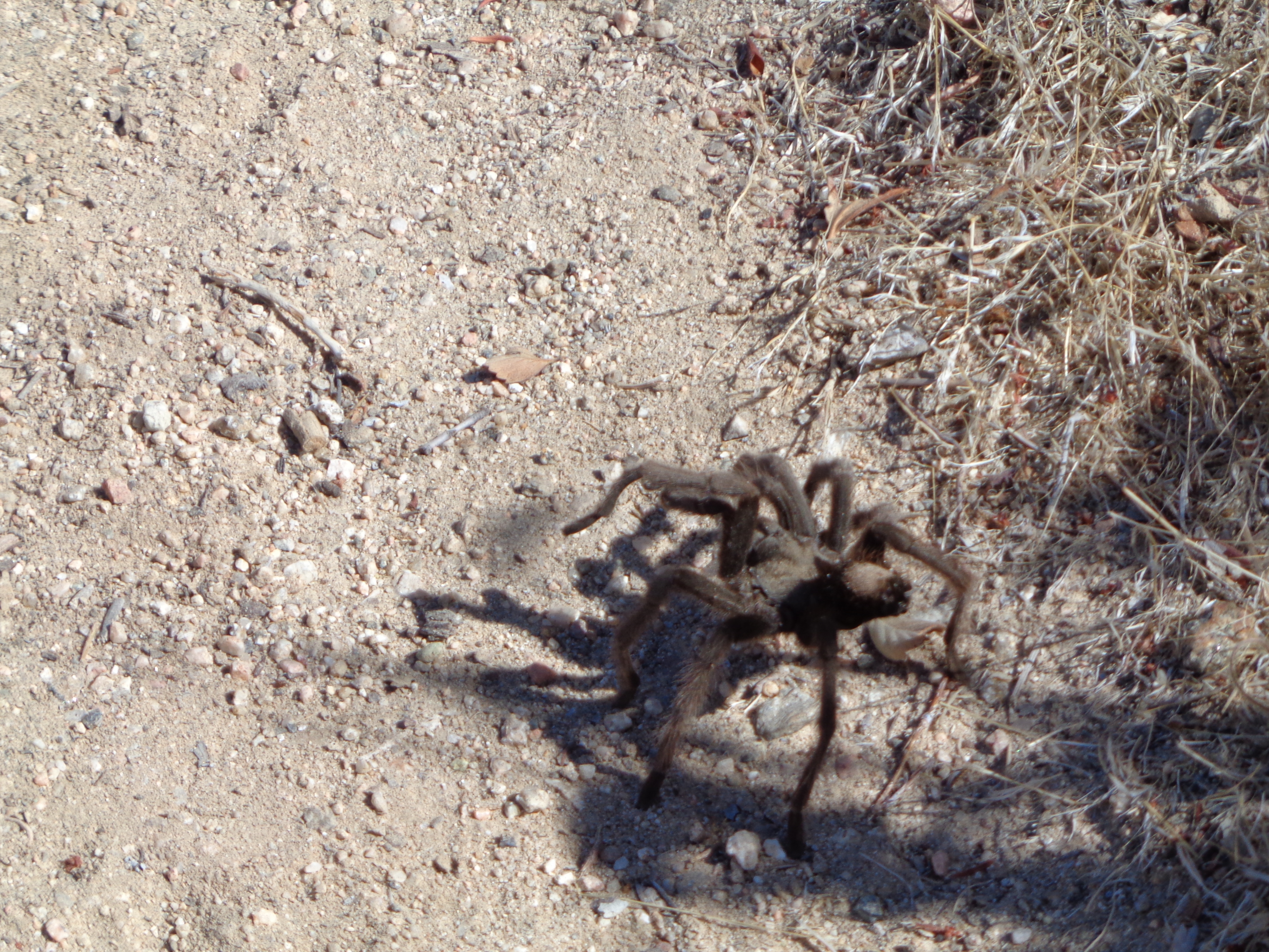
A furry friend, south of Cajon Pass.
We had to get to the Cleghorn Picnic Area 13 miles south for the next water source. The trip there was very hot and dry. My feet were starting to remind me that I had now been wearing the same shoes for over 1,000 miles. I checked in with Mom, and we decided it was best that I try to meet her at I-10. That was about 150 miles away. I had basically three and a half days to make it there. I was gonna have to put in my longest days ever to make it happen.
Capable of Incredible Things
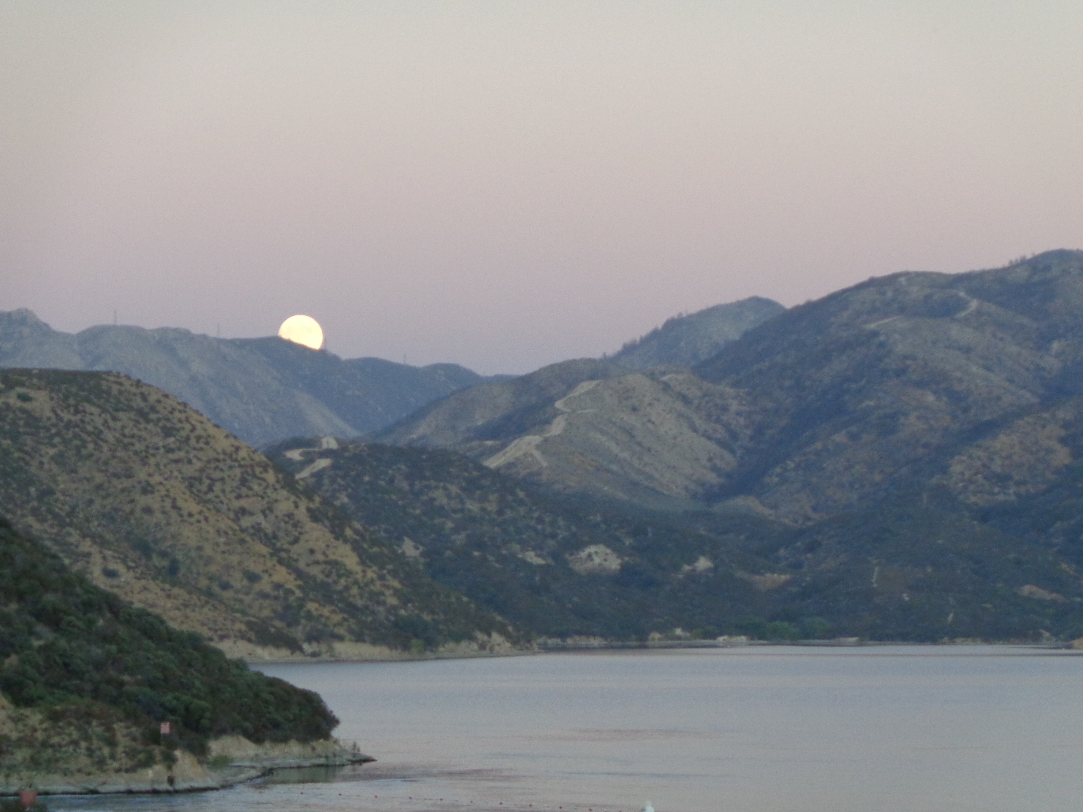
I hadn’t seen my friends in a bit, but if this was going to work I needed to start now. I sent a few texts promising to wait for them before San Jacinto so we could finish the trail together. Then I set off as the last full moon of my hike began to rise above Arrowhead Lake. That night, I made it 13 more miles before giving in to fatigue and sore feet. 46 miles, and I had enjoyed a nice relaxing lunch in the middle of the day. Not too shabby.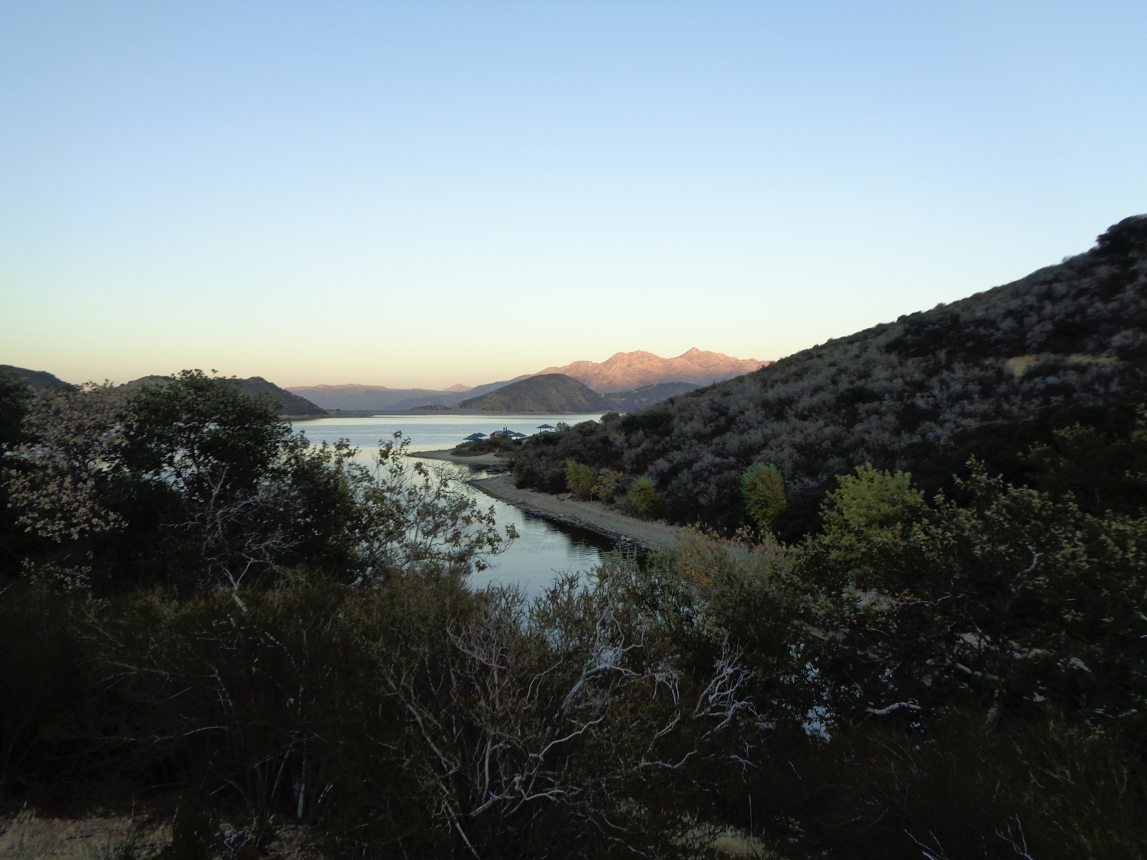

The bottom of the creek was actually really nice.

The longest and gentlest of climbs.

Fun times night hiking in SoCal.
Winding along a ridgeline in the dark, I could see the lights of what I assumed was Big Bear shining in the distance. I was not feeling great and I was alone for the first time in a while. I stared at those lights longingly. Limping and exhausted, I finally set up camp by a trailside picnic table and did some calculations. I had made 38 miles that day, yet my body felt far more destroyed than at the end of the prior day. I still had about 65 miles to cover with just about 36 hours remaining.
The Longest Day
After six hours of sleep, I hit the trail aiming for a double marathon. I had the pleasure of watching the sunrise through a pine forest as I made my way toward the road to Big Bear. It was 8:30 a.m. when I arrived at the trailhead, and I had covered ten miles already. And I felt great. My mood was seriously improved, and a nutritious second breakfast of potato chips and Snickers bar got me ready for a long morning.
On my way to the Onyx Rd cache and lunch, I found a big metal chest next to the trail. It contained one beer. A nice little reward for all my hard work! I kicked my feet up and added some liquid calories to my lunch, with around half of my miles done. Judging by the trail registers recently, I was somehow catching up to All Day Erry Day. He had been making a habit of 40-mile days since passing me in Ashland.
The afternoon hiking was magnificent. Plenty of shade, some gentle climbing on soft trail, and reliable water sources. I was still feeling great when I got to the top of Mission Creek as the sun dipped behind the canyon wall.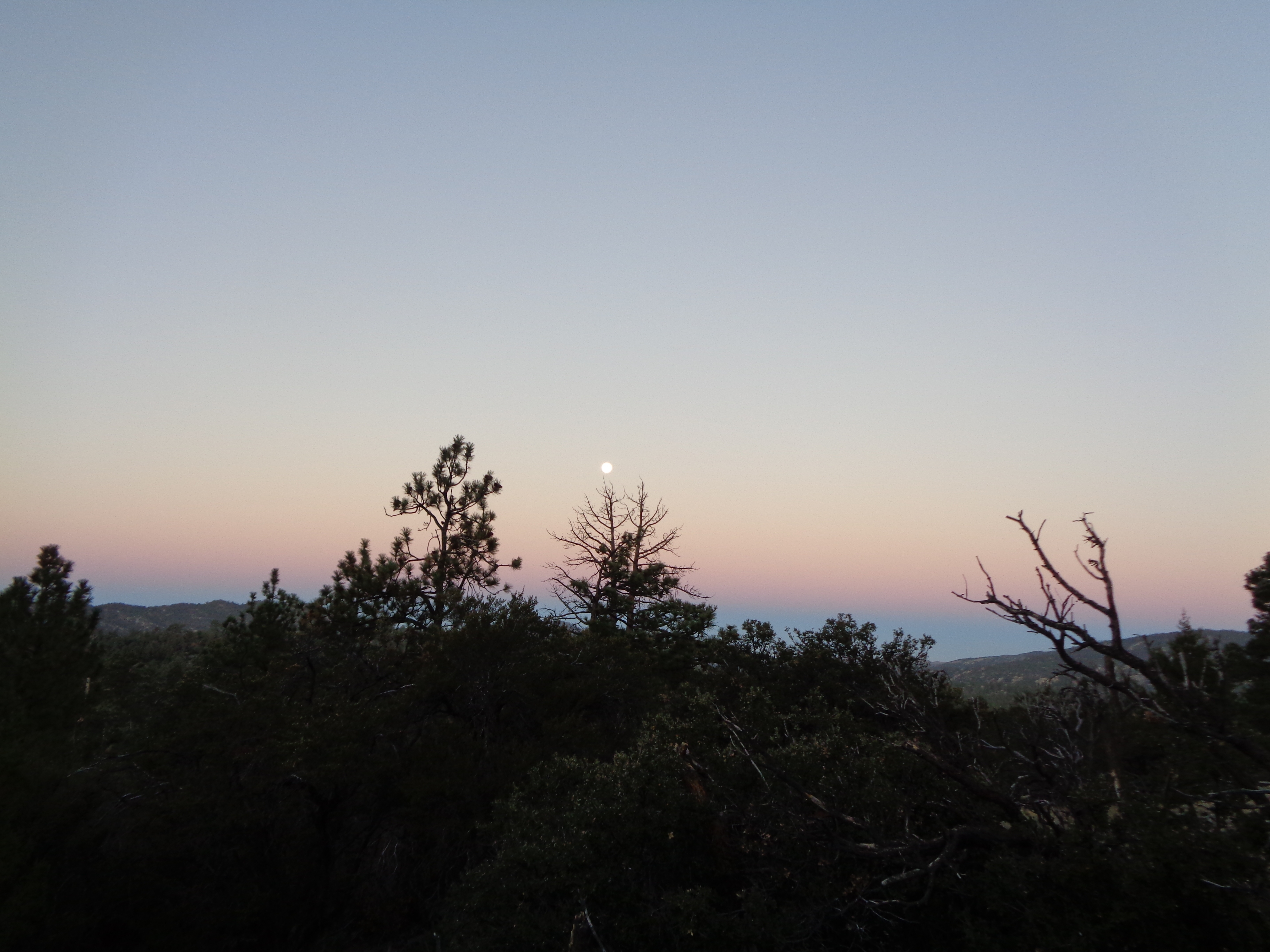
I don’t remember my exact mileage at that point, but I was actually in good shape to hit the double-marathon mark. The canyon before me looked beautiful in the twilight, and I was excited for the descent. And for the first mile or two, it was fantastic.
The next few miles were some of my hardest miles on trail. As I got down to the flats along the creek, I noticed lots of cross creek waypoints on my map. It was well after dark, and the bright moonlight didn’t penetrate the thick canopy of willows lining the creek. There was evidence of recent flooding, and at almost every crossing I struggled to find the trail on the other side. I would spend several minutes crashing through the willow thickets trying to find signs of the washed-out trail.
I’m not going to lie. I lost my cool a little bit. Howling into the night relieved my frustration enough to settle down enough to calmly locate my path. After several hours of slow progress, I called it a night with 20 miles to go until I reached the highway. Though I didn’t end up getting my double marathon, 48 miles felt like plenty when I finally peeled off my shoes. I sat there, eating cold ramen on my weathered Tyvek ground sheet under the starry desert sky, and I couldn’t help but laugh.
Not the place you want to find yourself at night.
The last few days had been a grueling test of physical and mental endurance. I chose this itinerary partially to see how hard I could push myself. And through the now-intense pain in my feet, the fatigue, and some typical trail surprises, I had actually enjoyed it. I made good decisions and allowed myself the opportunity for success. It was a whole new high.
One Last Mini Trail-Cation
I allowed myself to sleep in a bit the next morning, with the promise that I would plow through the 20 miles without stopping. I needed to get to the road by noon. The first section was great, crawling through the San Gorgonio Range above the sprawling desert valley. Past Whitewater Creek, the trail entered grazing lands and the last few climbs were a loose, sandy mess thanks to heavy bovine traffic. The sun felt incredibly hot, and my last few sips of water practically boiled in the last three miles to the highway.

In the end I had some time to spare. At the road into town, I saw All Day Erry Day. I was actually shocked I caught him after he passed me way back in Ashland. He had already called for a ride to a local trail angel’s place, so I joined him and was able to have a quick, cold shower before my mom arrived. She graciously pretended that I didn’t smell like a months-old dead fish while we caught up on the ride to In-n-Out.
We spent the night in LA with my aunt, uncle, and two cousins. It seems like a jarring transition from a wilderness footpath to the metropolis of LA, but it was oddly restful. I’m sure it helped that I spent my time away from the trail with family, not the crush of the city. On the way back to the trail the next morning, my mom and I talked about our passions and plans for the future. It was great to have her visit so close to the end of the trail.
The Final Boss
My friends were closing fast, but I still had a few hours to relax when I got back to the trail. I hitched to the In-n-Out again, then napped in the shade by the freeway. Eventually I moved on and waited for them down the trail a ways by a water spigot. San Jacinto loomed above me. Since Wrightwood, we had been calling the mountain “El Jefe” or “The Final Boss,” the last major obstacle between us and the border. And tomorrow, we would be up and over.
“Just” 8,000 feet of climbing, and we’ll be there.
Leafy and Ohm Boy arrived together, and the three of us started up the mountain. I felt a bit vindicated when they told me they had trouble navigating Mission Creek too, and they had done it mostly during the daylight. We wanted to get some climbing done that night so we could get into Idyllwild at a reasonable time the next day.
Shortly before finding camp for the night, we encountered four tarantulas within about a minute. After all this time on the trail I had come to feel supremely comfortable with my surroundings. I thought nothing of cowboy camping when we pulled off the trail a few minutes later. It was quite warm when we went to bed.
It was definitely not warm when we awoke. The wind was absolutely tearing across the mountain, and the air just got colder as we climbed switchbacks for a few hours. I maintained a steady pace with my hands in my armpits, and eventually we climbed up into the still-feeble morning sunlight. There was a brief respite from the climbing while we crossed a few dirt roads before arriving on the famed Fuller Ridge. I remember looking at the peak every few minutes, amazed that it never seemed to get closer despite the nearly 20 miles and thousands of feet we’d covered since leaving the valley floor.
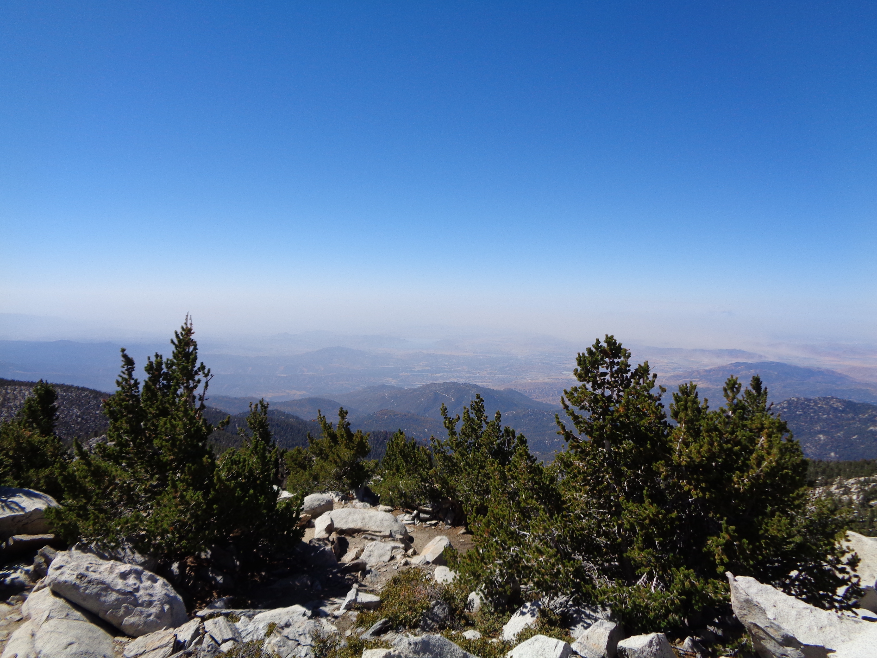
Back among the trees, we took a short break at a spring where the PCT diverges from the trail to the summit. I started shivering in the shade, so I took off for the summit. That section of trail is more reminiscent of the AT, climbing at a very steep grade over jumbled rocks and roots of thick, stunted conifers. Through the heavy breathing, I surveyed the gorgeous forest around me and wondered at how so many ecosystems could exist on a single mountain. After a final rock scramble, the summit greeted me with a stunning panorama.

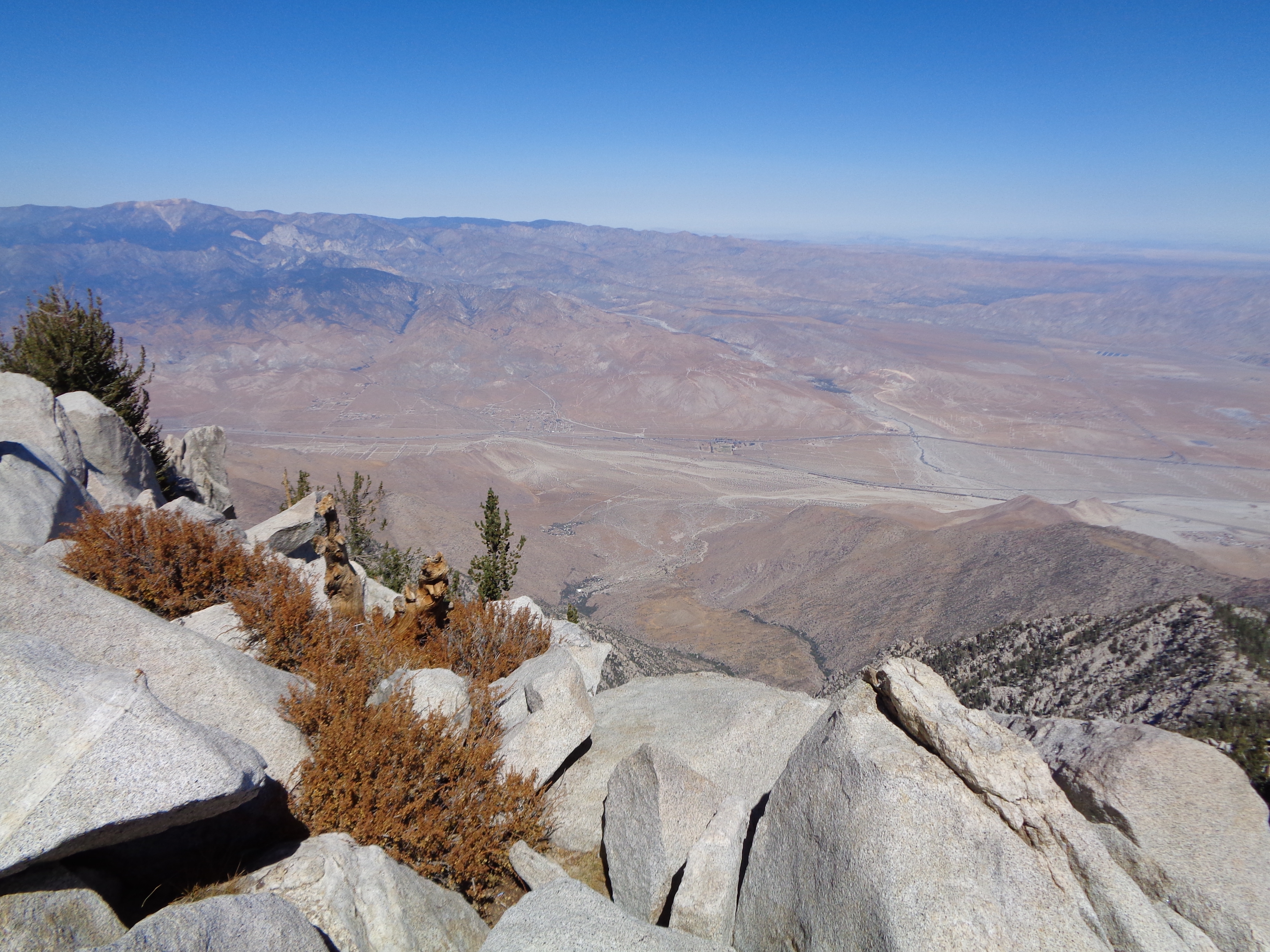
I had a quick lunch at the small cabin just below the summit before the descent into Idyllwild. Despite my own struggles on the long and uncharacteristically steep climb that morning, I began to feel for the NOBOs. Still less than 200 miles in to their hike, likely with a full resupply coming out of town, facing some seriously unforgiving switchbacks. Even with my aching feet, I charged down the mountain toward the last overnight town stop. I did make time to read the interpretative sign in the parking lot about the history of Tahquitz Rock and other features in the area.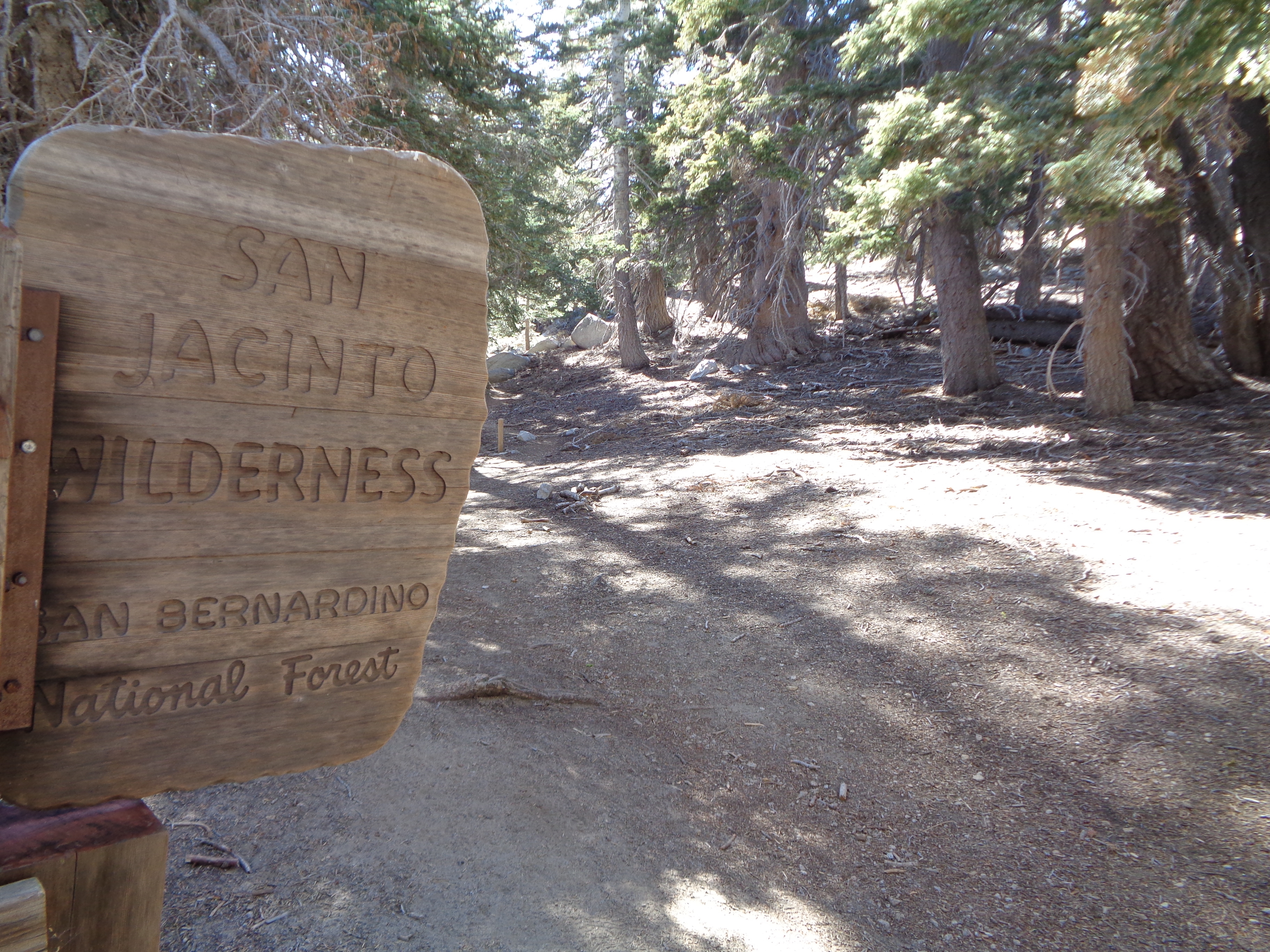
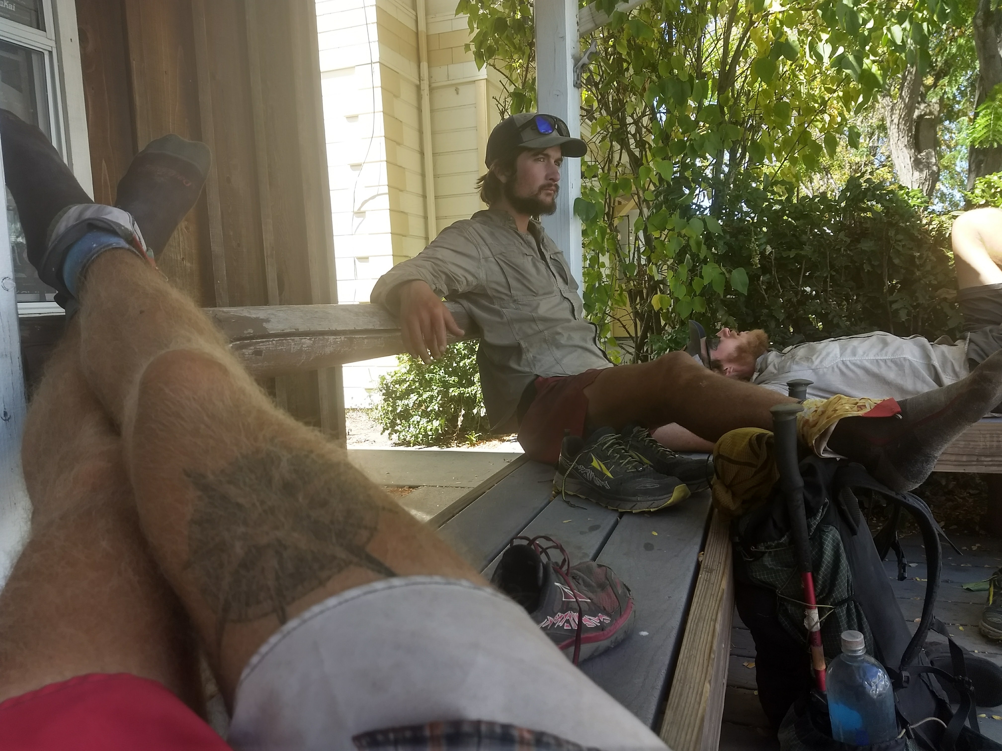
We dropped our packs at the outfitter for the trip to the grocery store. It was one of my quickest resupplies ever. I didn’t really care at that point what I was eating, so I sort of just pulled stuff off the shelf in autopilot while subconsciously tallying the calories. Unlike my AT hike when I practically stopped eating in the last week, I still had quite an appetite this time. We ate ice cream on the sidewalk outside while discussing dinner plans and where we were going to sleep.
This should go without saying, but definitely visit the pizza joint in Idyllwild. After clearing an entire pizza each, we sat slouched around the table while electronics charged. Per Bear broke out of his stupor first, and we all eventually moseyed over to the backpacker site at the local campground. The town was so inviting that we enjoyed a leisurely coffee in the morning before setting out for our long road walk around the Mountain Fire closure.
Road Walks Aren’t All Bad
Especially when you’re a smart cookie like me and pack out a breakfast burrito for second breakfast on the go! Nearing the end of the pavement and the edge of town, it got warm enough to take my long pants off. Having dressed in my sleeping bag like every morning, I hadn’t quite gotten my shorts on right and I had to quickly correct a slight wardrobe malfunction. We all had a good laugh, and soon we were back in the woods on a dirt road. The scenery was quite nice, looking over a rolling green valley on the western slope of the San Jacinto Mountains.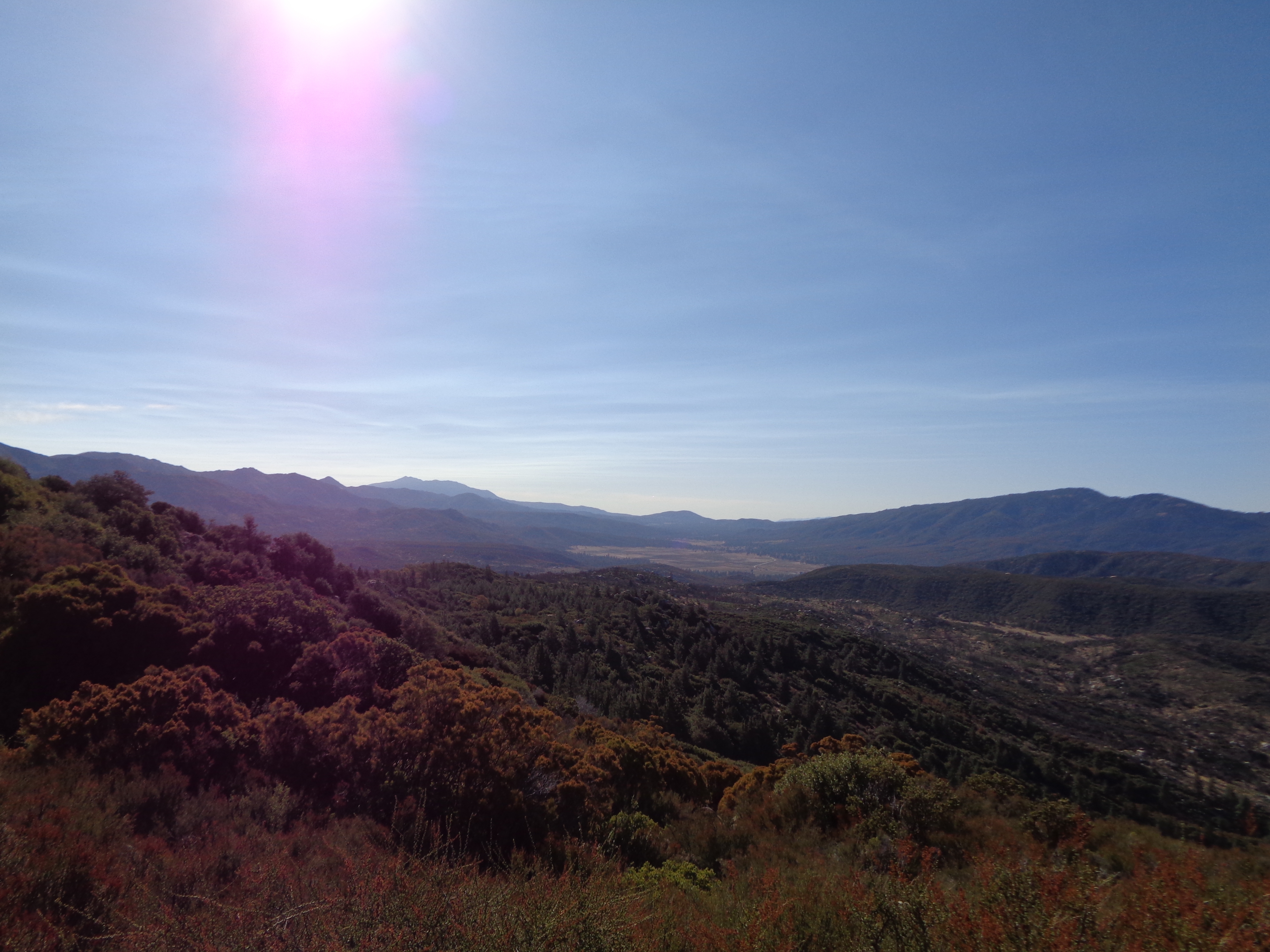


Leafy rockin’ out on a long power line stretch. Just before this we had seen a pair of foxes.
It got a bit hairy during our brief stint on the highway, but we stopped for a sugar kick at the camp store, which broke things up nicely. Then we were back on dirt roads, winding back toward and eventually up into the San Jacintos. The weather had thankfully been mild and most of the roads had been dirt, but it was still a relief to finally get back onto the PCT’s original route along the top of the ridge. 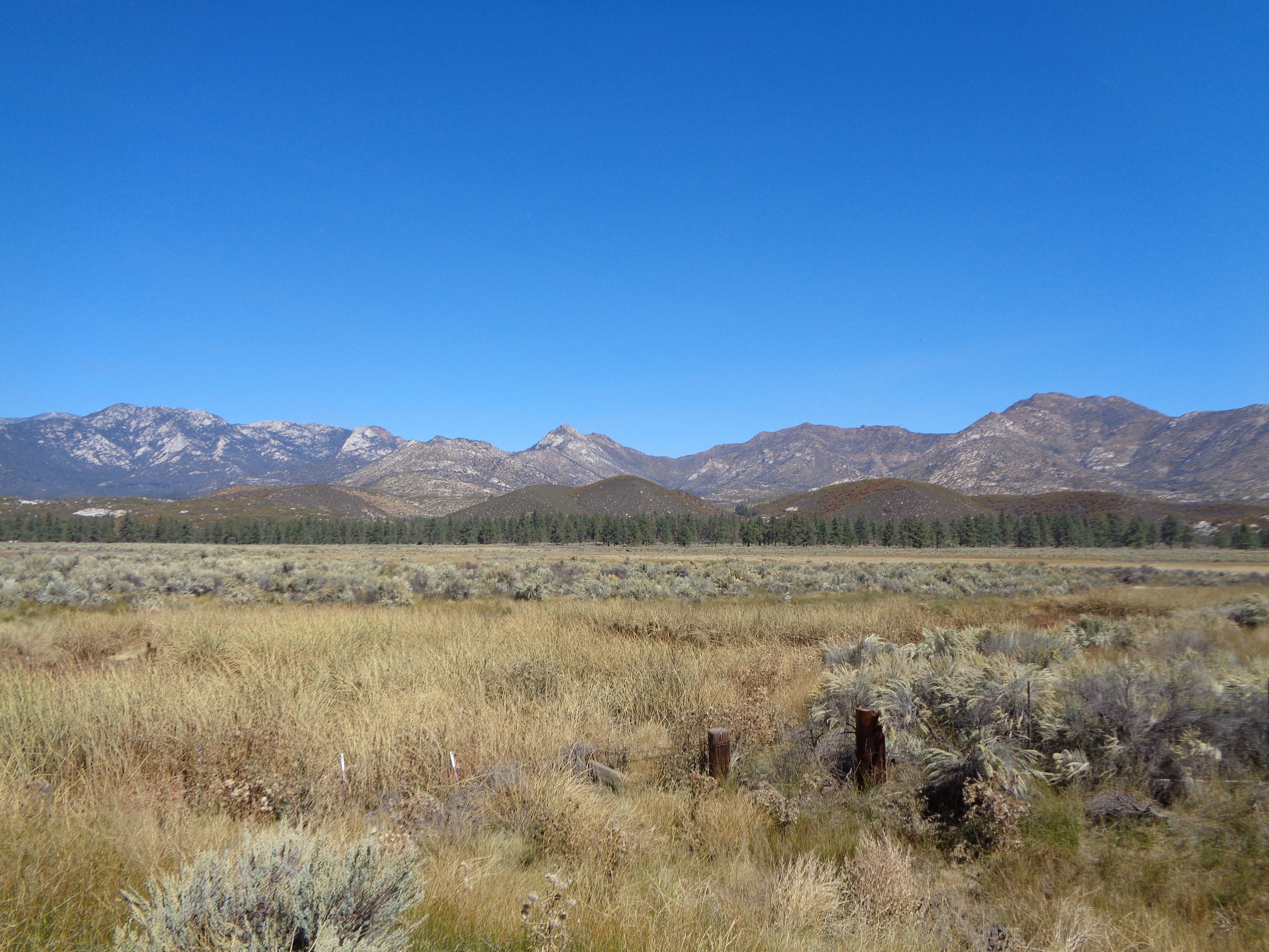

Back on the PCT.
It was a beautiful walk. The Mountain Fire closure has been in effect for five years now, and covers more than a dozen miles of trail. Hopefully the trail will reopen soon to provide a more uninterrupted wilderness experience south of San Jacinto.
As the sun set on our way down to the next valley, my mind began to wander into thoughts of the finish. It’s difficult to process the knowledge you’ve just hiked 2,500 miles over four months. Even more difficult though is coming to terms with the understanding that the journey is coming to an end.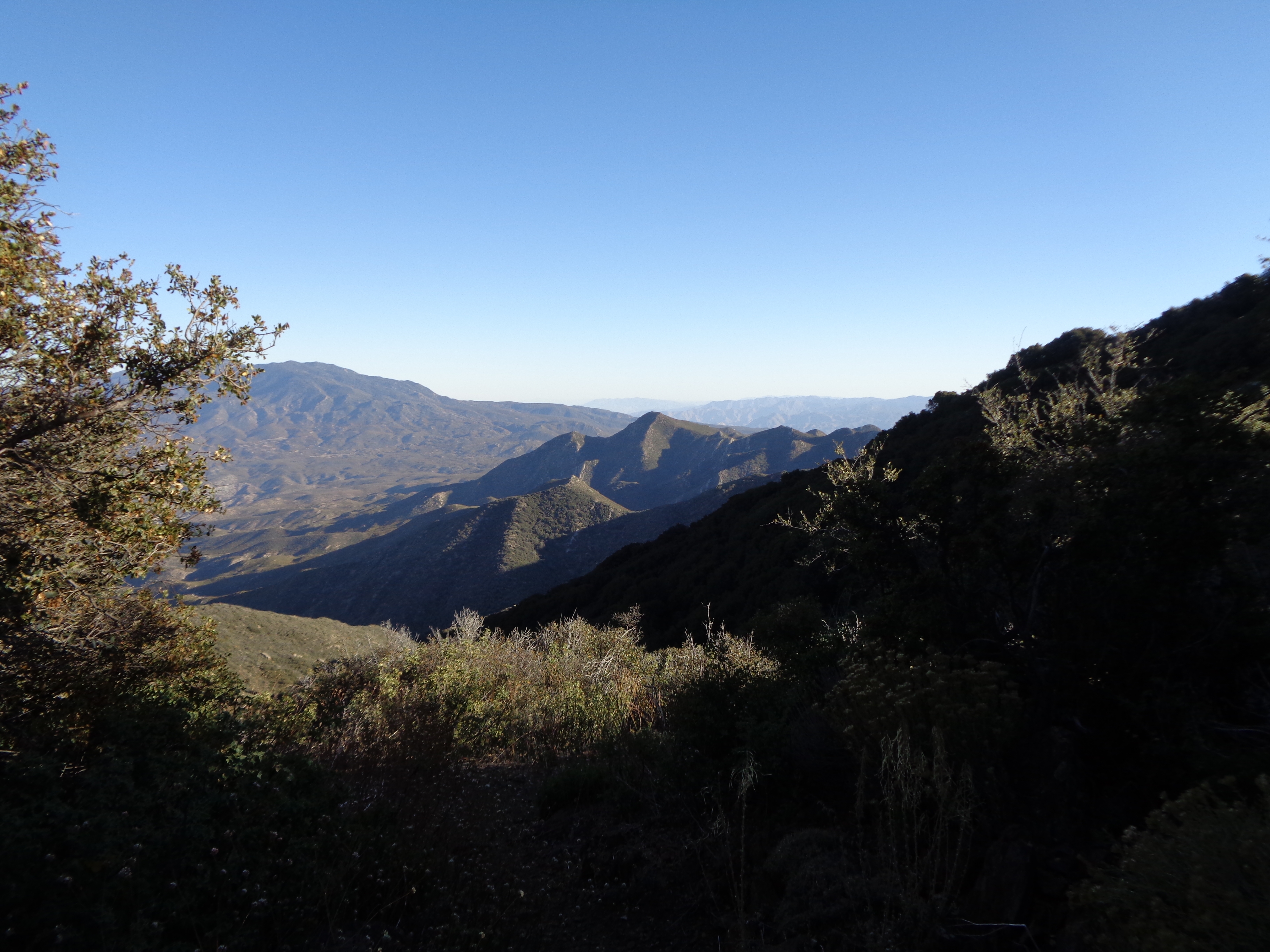


A Handful of Sunsets
It helped to focus on appreciating what I love most about thru-hiking. To treat each sunrise and sunset as a daily miracle. To stop and listen to the wind. To look into the night sky for familiar constellations and the bright streak of the Milky Way. It’s much better brain fodder than spending 12 straight hours thinking about the end.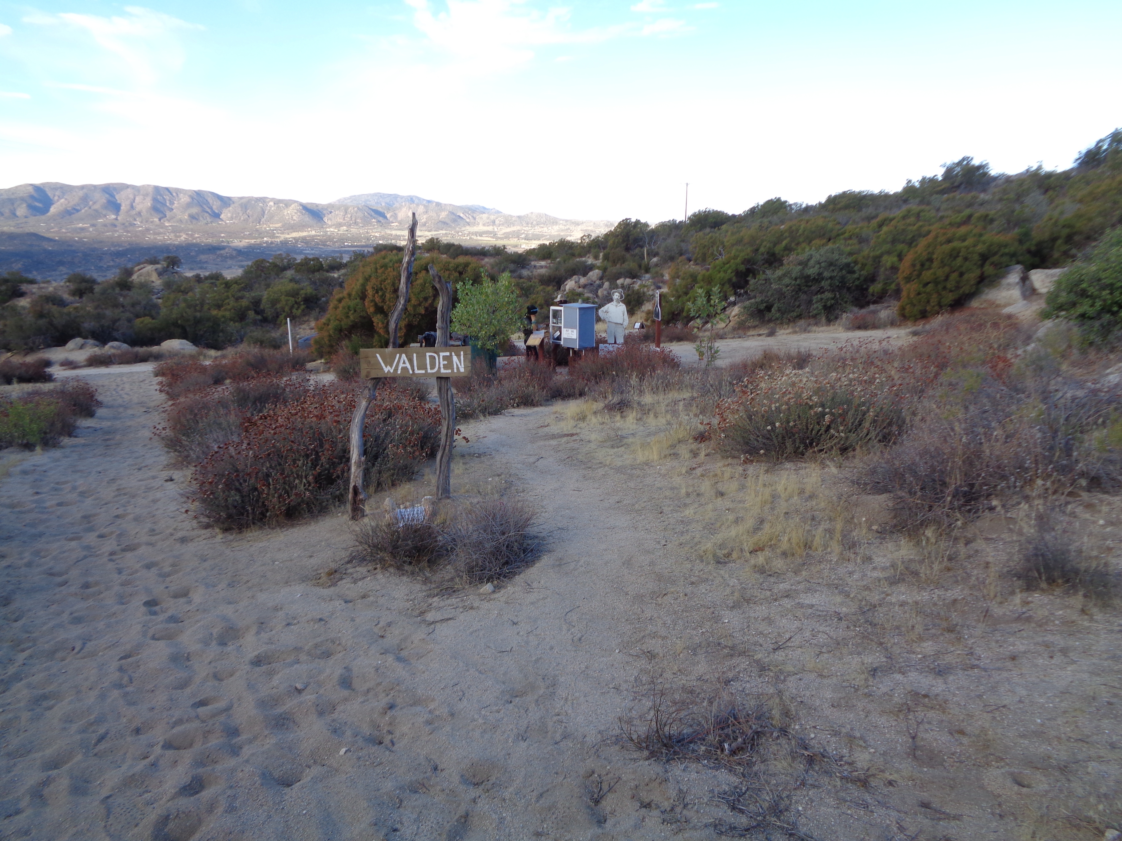
Early the next morning we came across the oasis of Walden, a water cache with a temporary memorial to several famous American authors and poets maintained by a local professor. In the afternoon, I was hiking with Ohm Boy ahead of the others. Gliding through the sparse chaparral, I damn near had a heart attack as every alarm bell in my body went off at once.
I couldn’t see it, but I was sure the snake that produced that rattle must be the biggest fucking snake I’d ever seen. Not in the mood for a venomous bite, I stood frozen in place and called a warning to Ohm Boy as he approached. He spotted the snake, and it was absolutely terrifyingly large.

Thick as my forearm and ready to strike.
Yes, somehow this was the first rattlesnake I’d seen on the trail. I walked very cautiously for the rest of the day, trying to slow my heartbeat. But I couldn’t keep my eyes off the desert skyline. I had fallen in love with the desert environment over the last few weeks of hiking, learning to appreciate its subtle diversity and unique rhythms. Covering miles was essentially automatic now, leaving lots of brain capacity for surveying my surroundings. Life in the desert was simple: Don’t run out of water, don’t step on snakes, don’t step on cacti, enjoy your time out in the wild.
True to fashion, I was on trail for sunrise the next morning. On the outskirts of Warner Springs, Ohm Boy and I saw two bobcats playing in a dry wash. We arrived at the community center a few hours before it would open, and decided not to linger. Just 100 miles to go now. Double digits. We passed the iconic Eagle Rock in the blazing sunshine and stopped for some pictures of one of the final landmarks.

“Caw!” or whatever eagles say.

From there it was back up to a ridge snaking its way south. We found a bit of shade at the impressively well-stocked Third Gate Cache. We were pushing for a campsite about 8 miles north of Scissors Crossing. The trail sloped gently downward, and stretched in a nearly perfect line in front of us as it wound through small canyons. We cowboy camped in the purple sunset in a cozy sandbox against one of the canyon walls. 
We made quick work of the hike out in the morning, and were hitching before the sun had cleared the ridgeline above. Luckily, Mom’s Pie is open bright and early for breakfast, and I happily unfolded my ticket for a free slice. The PCT thru-hiker permit is an often lamented 4.5 gram necessity, but when presenting it for free confections it feels more valuable than a brick of gold. This sheet of paper had traveled the whole way with me, largely untouched and unchanged, and there in Julian it looked like a badge of honor.
The other three joined us after an hour or so. It’s our last town on the trail. The trip to the grocery store felt monumental and inconsequential at the same time. I ordered a huge deli sandwich to pack out for a treat. I’m pretty sure about 50 percent of my calories leaving there were cookies. We had a celebratory last town meal at Carmen’s, who is absolutely as kind and outgoing as everyone will tell you. She chatted with us for a long time, prompting me to relive some of the finest moments of the trip. 
Finally it was time to leave. The border was not going to walk to us.

This website contains affiliate links, which means The Trek may receive a percentage of any product or service you purchase using the links in the articles or advertisements. The buyer pays the same price as they would otherwise, and your purchase helps to support The Trek's ongoing goal to serve you quality backpacking advice and information. Thanks for your support!
To learn more, please visit the About This Site page.
