The Black Forest Trail: 43 Miles of Pennsylvania’s Beautiful Forests
Beyond the Appalachian Trail, many backpackers overlook Pennsylvania as a backpacking destination. Hikers from Pennsylvania and surrounding states, however, appreciate the plentiful backpacking routes that the Keystone State offers. The state boasts more than two million acres of state forests. Within these forests, many excellent trail systems exist, often with backpackers in mind. Among these trails, the 43-mile Black Forest Trail (BFT) stands out as a top pick among Mid-Atlantic hikers. The trail traverses challenging terrain with abundant vistas, great camping, and tumbling mountain streams.
Black Forest Trail Quick Facts
Length: 43 Miles
Location: North Central Pennsylvania in Tiadaghton State Forest near the settlement of Slate Run.
Trail Type: Loop
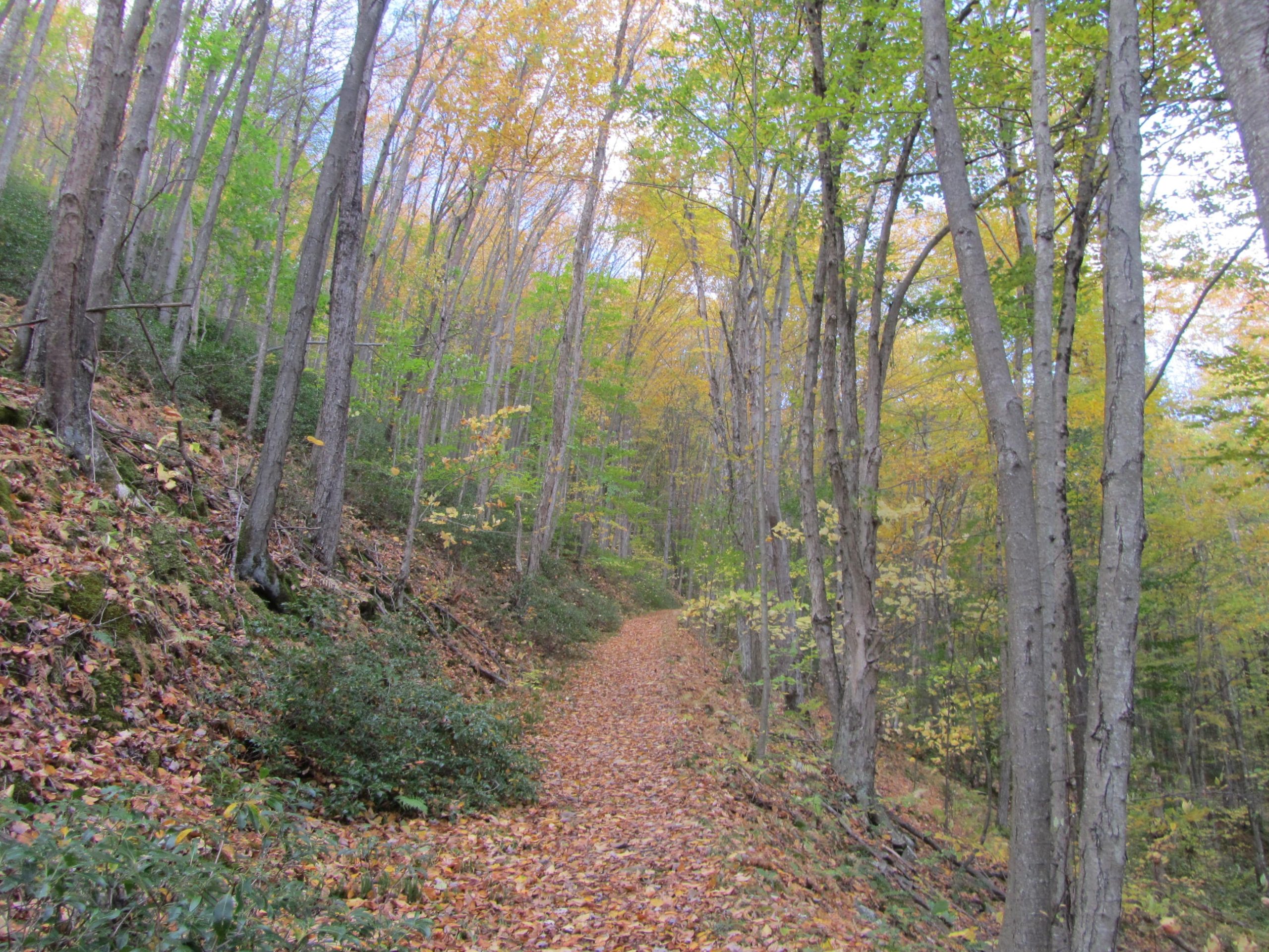
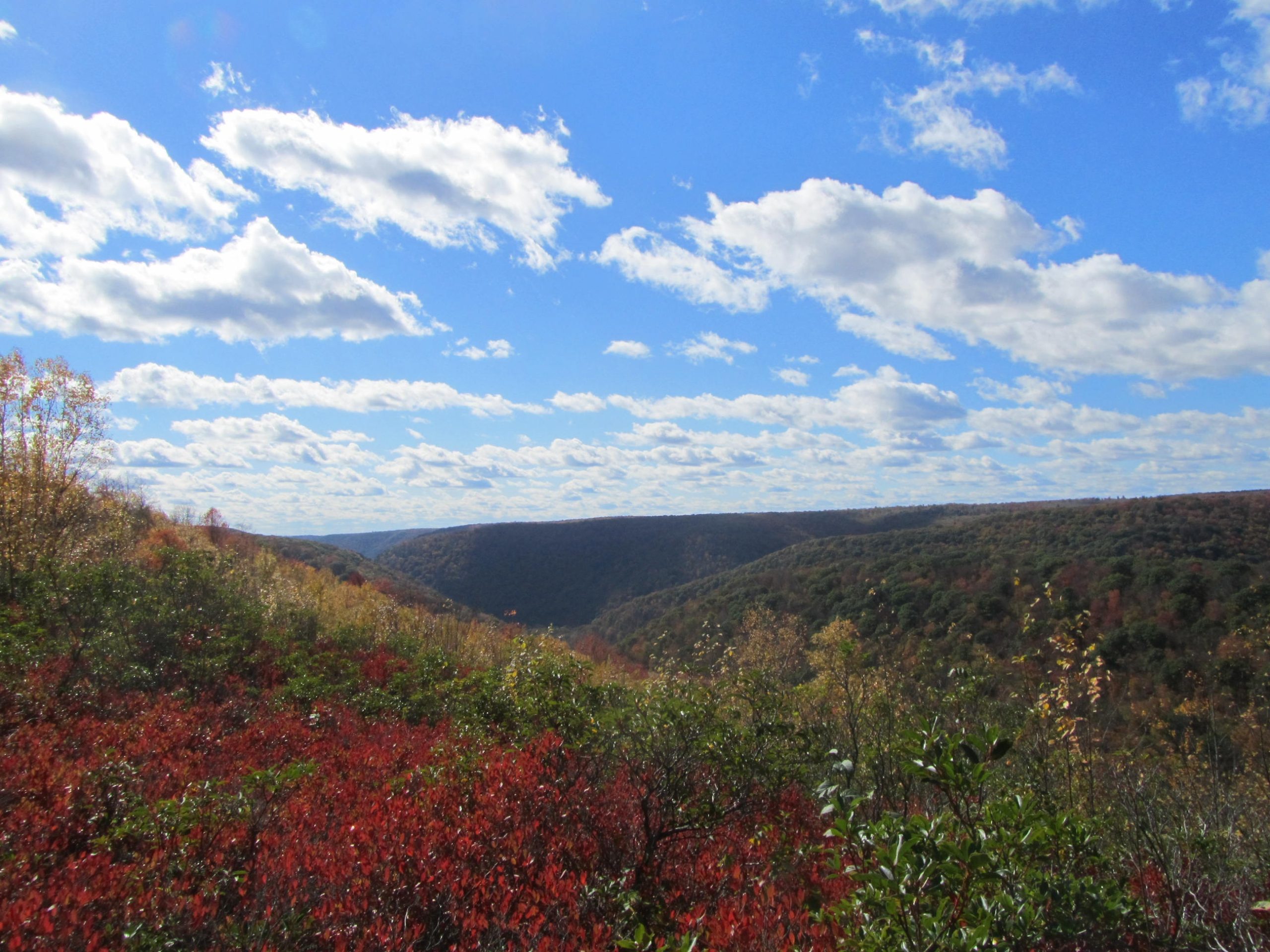
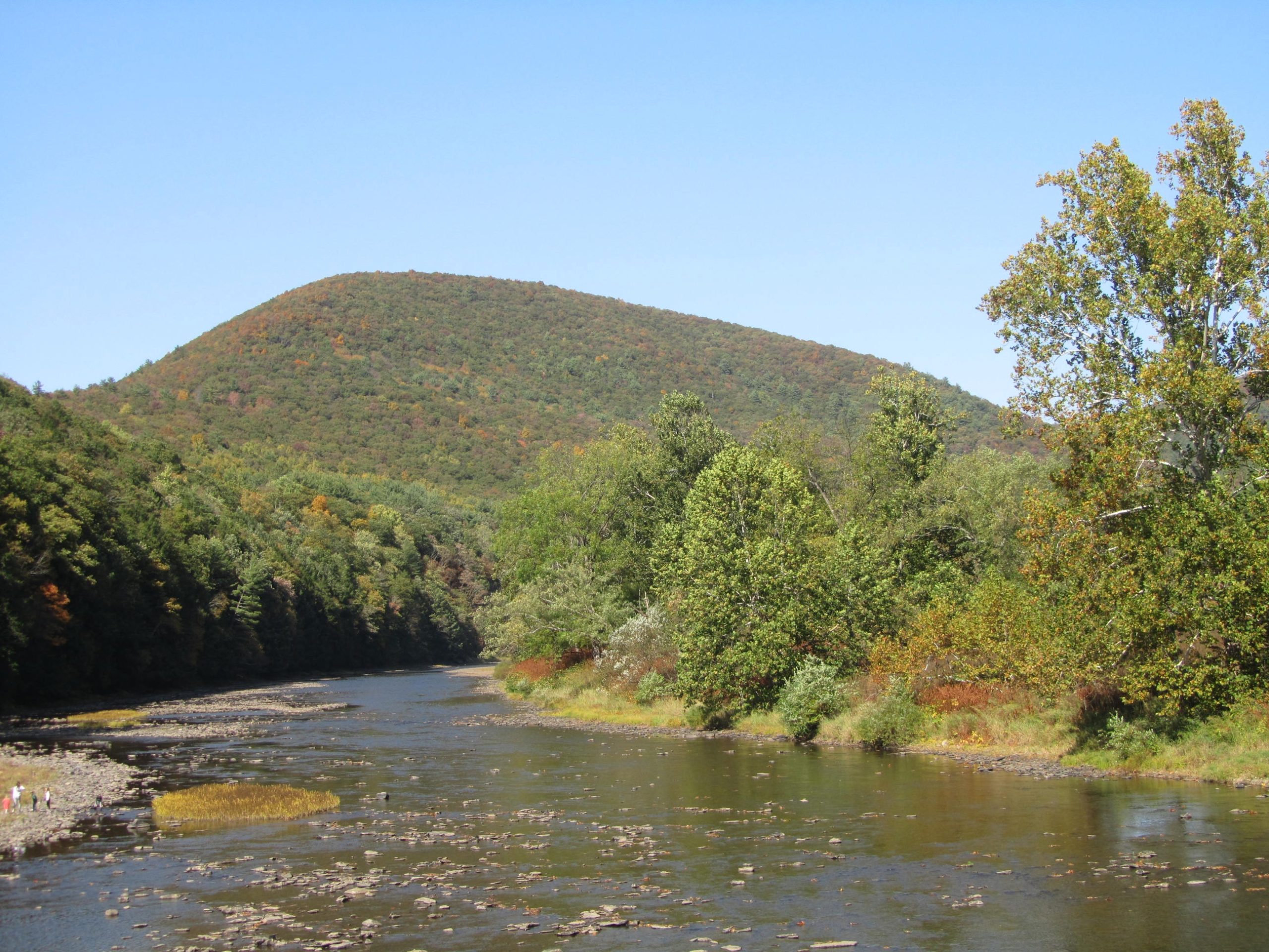
Scenery: The trail primarily travels through hardwood forests and the occasional coniferous forest with numerous creeks. Abundant vistas take in views of the surrounding forests and gorges that break up the plateau.
Approximate Time to Hike: 3-5 day itineraries are most common.
Terrain
The BFT has a reputation as one of the most difficult backpacking trails in Pennsylvania. The trail travels across the Allegheny Plateau. There is little variation in elevation across the plateau, but the BFT frequently climbs in and out of steep drainages, often over rough and rocky footing. Numerous unbridged creek crossings at the bottoms of the drainages add to the challenge.
Elevations range from 760 feet to 2,145 feet. Despite the modest elevations, expect to gain more than 8,500 feet while hiking the entire trail. Several 1,000-foot climbs and descents are encountered over the course of the loop. Less taxing sections of the BFT utilize old rail grades and logging trails that have been mostly reclaimed by the forest.
Getting There
Most hikers choose to begin their hike in the settlement of Slate Run, located along State Route 414. A large recreation parking lot along Pine Creek can be found just off Route 414 in the middle of Slate Run at 41.471321, -77.502327. The mileage in the guide book begins and ends at this parking lot.
State Route 44 crosses the trail twice, once at trail mile 13.3 with a second crossing at mile 23.7. The latter crossing offers parking about 100 feet north of the trail at 41.461957, -77.572523. Other dirt roads cross the trail and can be found in the guide book and on the maps listed below.
Be advised that any parking area located outside of the main lot in Slate Run lies within the forest. Porcupines have been known to damage vehicles left within the forest and precautions to protect vehicles should be taken.
Guide Book and Map
The Black Forest Trail: A Backpacker’s Interpretive Guide by Chuck Dillon covers the trail thoroughly and comes with an excellent map that features elevation profiles, camping opportunities, vistas, and water sources.
Pennsylvania Department of Conservation and Natural Resources also offers a map of the BFT at its regional offices and online.
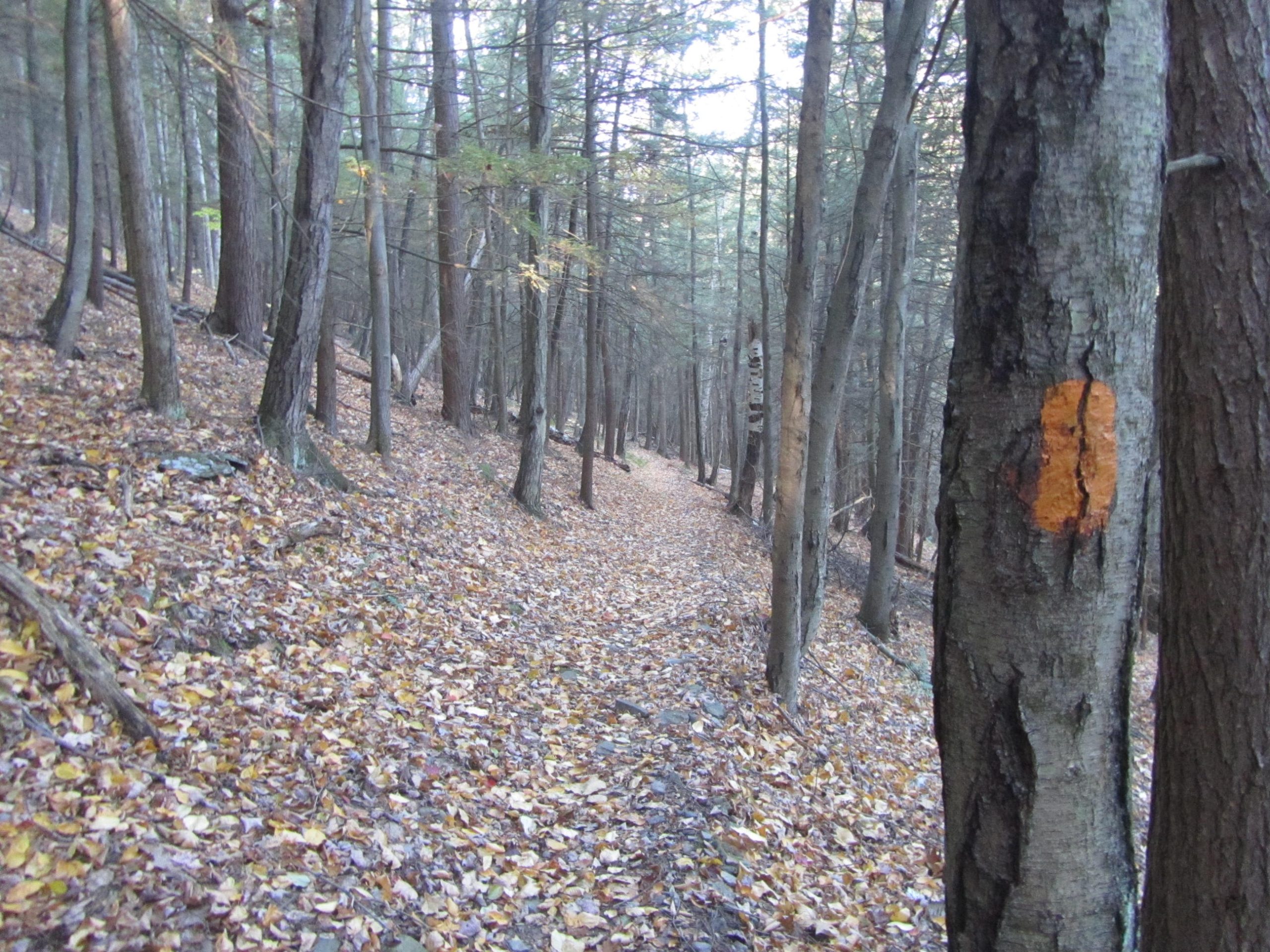
The BFT is generally well-marked with oranges blazes along the route. Near junctions, pay attention to double blazes indicating a change in direction. Not all of the junctions are signed and the double blazes are easy to miss if you aren’t paying attention. Be aware that other trails in the area use red blazes that look very similar to the orange blazes of the BFT.
Why Hike the Black Forest Trail
A web search for “best backpacking trails in Pennsylvania” usually includes the Black Forest Trail on the shortlist. The BFT offers a lot for a relatively short trail. The loop makes planning easy with no need to shuttle. Most backpackers can tackle the trail over a long weekend with no need for resupply. Despite the challenging terrain, frequent viewpoints reward you for your effort. Abundant water and camping opportunities allow for a wide degree of flexibility. Scenic views, tumbling mountain creeks, occasional waterfalls, and excellent camping are all reasons the BFT rates so highly among backpackers.
Direction
As a loop, the BFT can be hiked in either direction. The guide mileage and descriptions read counterclockwise. Hiking that direction makes it easier to follow along with the book. It also saves the toughest terrain for when your pack is the lightest (the terrain becomes most challenging near the end of the loop if traveling counterclockwise). The initial climb traveling this direction, although steep, may be easier than if heading clockwise from the start. If you want to tackle the toughest terrain in the beginning, travel clockwise.
Starting along State Route 44, at Mile 23.7 in the guidebook (See “Getting There” above), allows hikers to utilize Slate Run for a meal or snack at one of the establishments roughly halfway into the trip.
Weather
Generally, the hiking season for the BFT runs from May through October. Due to the higher elevations of the plateau, wintry weather sometimes occurs as early as October and as late as May but low temperatures generally stay above freezing during these months. Spring brings high water to creeks and insects. Pennsylvania, like most eastern states, experiences consistent precipitation throughout the year.
May and June typically see highs in the 70s with chilly nights in the 40s and 50s. Autumn brings stunning foliage and less humidity. By late September and October daytime highs are usually in the 60s with nights in the 40s with an occasional freeze, especially later in October.
During the summer expect temperatures in the low 80s with nights in the 50s on average. Pennsylvania usually experiences humid weather in midsummer, which brings hazy skies and lower visibility for the vistas.
Gear Recommendations and Other Special Considerations
Backpacking the BFT is pretty straightforward, with easy logistics and no permits necessary for most hikes. Depending on the season, there are a few precautions to keep in mind.
Water Shoes: The frequent creek crossings are rarely bridged. Most of these are easily stepped across. During the spring or after prolonged rain, the crossings become trickier. To keep your hiking shoes dry, a pair of Crocs or other water shoes may be helpful if you hike the BFT during an extended wet period. This is especially a problem along County Line Branch. When in doubt, follow the signs for a high water route, bypassing County Line Branch.
Tick Prevention: Pennsylvania’s tick population is a real issue. The state sees some of the highest Lyme Disease infection rates in the country. Treat your clothing and gear with Permethrin for any hike in Pennsylvania. Spray your skin with a repellent if you choose to wear shorts instead of long pants.
Wildlife: The BFT travels through a remote area with expansive forests. Pennsylvania maintains a healthy bear population. Most encounters involve the bear sprinting away, as the bears are typically skittish and not accustomed to people. Raccoons are even more common. A proper bear hang is strongly recommended to protect wildlife and your food.
Rattlesnake and porcupine encounters are not unusual. This is important, especially if you hike with your dog in the area.
Stinging Nettles: These troublesome plants occasionally encroach the trail, particularly in the ravines. They pose the biggest problem during the peak of summer. These plants cause an itchy rash when your bare skin contacts it. Some people react to it worse than others. Pants or gaiters are the best defense.
Blaze Orange: Hunting is a serious pastime in the Keystone State. The majority of the trail utilizes state forest land, which is open to hunting. Most of the fall and parts of the spring are open to hunting. Wearing something with blaze orange increases your safety.
Permits: While no permits are required to hike the BFT, a campfire permit is required between October 1st and May 25th. No permit is needed for primitive camping along the route. However, camping permits are required if staying at any one site for two or more consecutive nights. For permits, contact the Tiadaghton State Forest at 570-753-5409.
Camping and Water Sources
The BFT really shines when it comes to camping opportunities. Over its 43 miles, a hiker rarely travels more than a couple of miles without passing an established site. More than 20 campsites are shown on the map. Most water sources offer camping. Many of the vistas feature an established site as well if you don’t mind a dry site. The abundance of campsites allows for great flexibility.
Although stretches along the plateau tend to be dry, a creek flows along the trail every few miles. Most of these creeks are in the form of tumbling mountain streams. In the driest years, some of the creeks become partially dry.
Final Thoughts
The Black Forest Trail ticks a lot of boxes for a great trip for both beginner and experienced backpackers. Beginners looking for a multiday backpacking trip will appreciate the relatively short distance. Even with its challenging terrain, beginners can break the trail into manageable days thanks to frequent campsites. Experienced backcountry travelers will find a nice challenge and the opportunity to get their wilderness fix. All trail users will enjoy the countless vistas and lovely mountain creeks that flow through the forest along the BFT. It’s no coincidence that the BFT ranks so highly among Mid-Atlantic backpackers.
Additional Resources
- Tiadaghton State Forest: This is the website for the state forest with information on the trail, maps, rules, permit details, and other pertinent information for the BFT and the surrounding forest.
- Black Forest Trail, Slate Run, PA: This is a Facebook Group dedicated to the BFT and a good resource for questions and finding recent trail conditions.
- PA Hikes: PA Hikes website specializes in Central Pennsylvania hiking. This is the PA Hikes page for the BFT.
- Backpacking the Black Forest Trail– The author’s detailed account of completing the Black Forest Trail in October of 2020.
Featured image: Graphic design by Libby Thompson (Instagram: @libby.des).
This website contains affiliate links, which means The Trek may receive a percentage of any product or service you purchase using the links in the articles or advertisements. The buyer pays the same price as they would otherwise, and your purchase helps to support The Trek's ongoing goal to serve you quality backpacking advice and information. Thanks for your support!
To learn more, please visit the About This Site page.



Comments 10
I am so happy to see this trail getting a write up! I LOVED it. I did it with a fellow thru hiker this past summer and then suggested my husband take his 2 friends who are new to backpacking out. It’s such a (not so crowded) crowd pleaser and checks so many boxes. Views, wildlife, not crowded, and just challenging enough with uphills/downhills. Such a gem of a trail!
Phone number for Tiadaghton State Forest is incorrect in the article. Correct number is 570-753-5409.
Thanks for the heads up. I got that number out of the guide book. I noticed the difference number on the website. Correction made.
Looks like a great opportunity for a 1-day mountain bike ride!
Although other trails in the region are open to mtn bikes, the Black Forest Trail is limited to hiking use. I’d consult with the Tiadaghton State Forest website which has a section for mountain biking to find out which trails allow bikes.
Sounds lovely but this 81 year old gal and her 80 year old guy are looking for something easier.
Maybe a 2 or 3 mile relatively flat scenic hike and a nice place for a picnic lunch.
Any good ideas
Check out the Pine Creek Rail Trail. You can pick it up right in Slate Run or anywhere along Pine Creek. It’s a really nice flat pathway that follows the creek, plenty of campgrounds and picnic benches. I would like to eventually bike this, it looks gorgeous and the trail goes for miles.
I absolutely love hiking the BFT! Something else that is worth mentioning…If I need to get out early, there are many trails and crossings that provide short-cuts, too! The trail is very comfortably completed in 5 days, though 4 is totally doable. Three days kind of hurts, and I don’t really recommend it. It’s enough elevation gain for me that if I only have 3 days, I’m going to cut it short.