 ">
">
Started at Katahdin, Now I’m Here (Hanover)
So Sorry! My Phone was on Airplane Mode
For six weeks? No fucking way. I mean, it wasn’t, but it sort of was. In any case, I personally have been on airplane mode, or maybe it would be better called trekking pole mode, for the last six weeks. Maine and New Hampshire were hard. Doing physically demanding stuff is tiring. I’ve spent most nights bately being able to scratch down my daily mileage in the Rite in the Rain notebook I’m carrying before passing out with my tent vestibule open and my headlamp still glowing; I certainly haven’t had the sufficient cognitive capability to pontificate on my hike thus far and distill it into witty yet worthwhile text. So to call this a long-overdue update would be putting it mildly. But since I live in the woods now and give even fewer shits than ever before, I’ll save the apologies for the people I meet in towns who have to temporarily deal with my scent in their otherwise aromatic afternoons.
VT: The Third State
The fact that I’m able to string together semi-coherent sentences is a direct result of the fact that the trail is now easy. Seriously – New Hampshire has legit TRAILS that you can SEE! I say this because Maine, at times, did not.
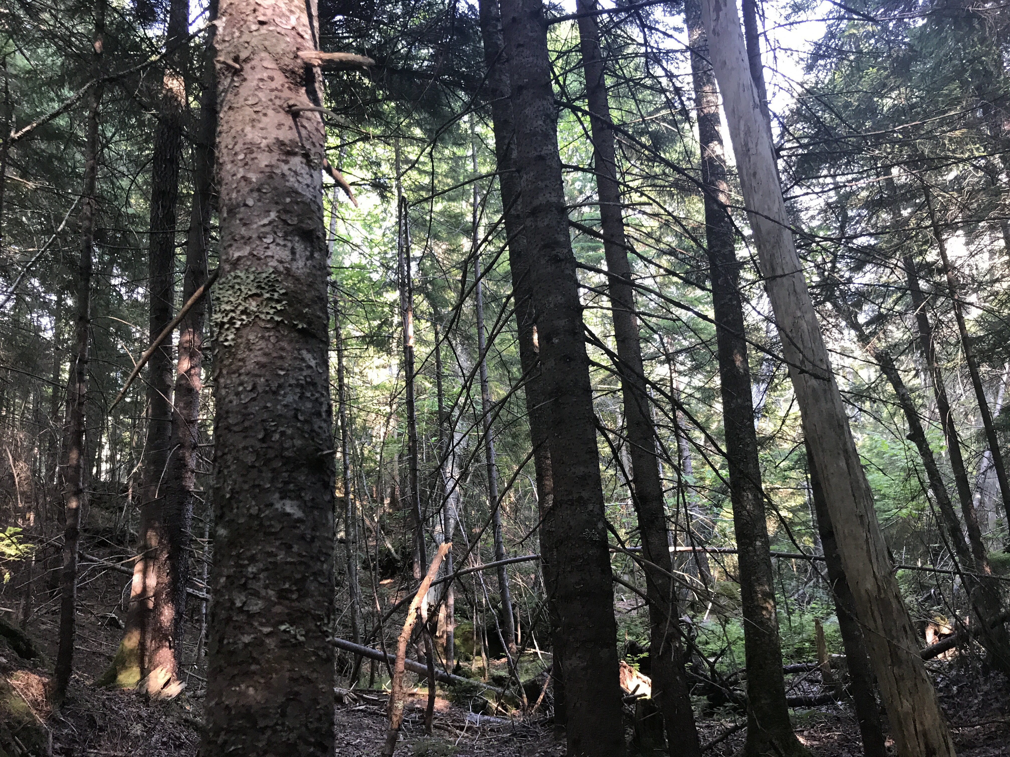
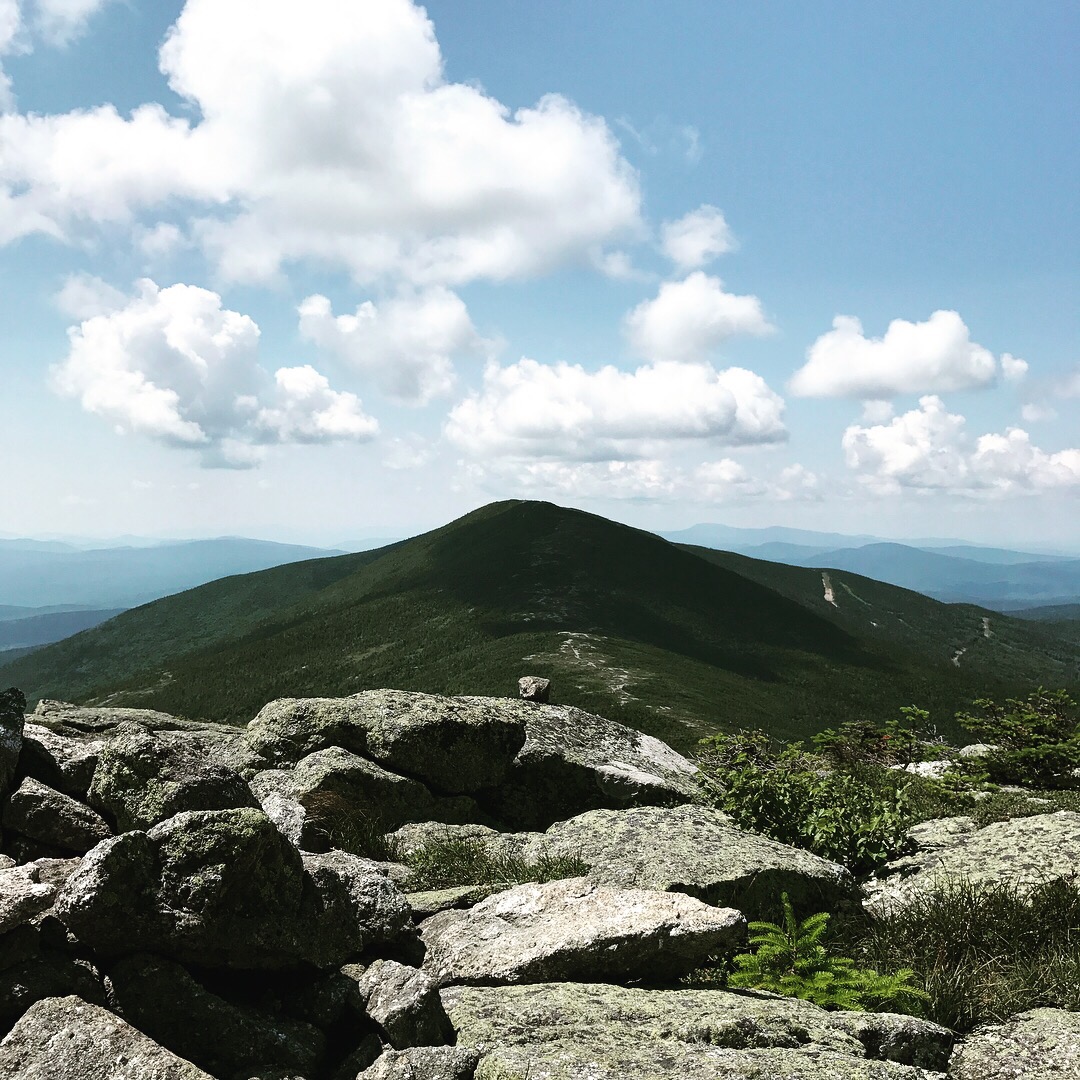
This photo was taken in a state of delirium at the base of Poplar Ridge during a 14-mile day.
Now before you all start freaking out, yelling: “THE TRAIL IS NEVER EASY! YOU KNOW NOTHING, FOOLISH SOBO!”, please know that I know. Oh, I know. I have spent six weeks being told by nearly everyone going north and everyone working in a hostel that I am not truly hiking. I am not truly hiking because my fabulous hiking friend and I yellow-blazed (FUCK yeah we did!).

Uber-blazing: now trending in Hanover! (OMG/JK/HYOH)
I am well aware of the fact that none of the 416 miles I have hiked count because I slackpacked twice, am wearing dangly earrings, and am not on a $1 a day budget that requires me to scavenge in bins of half-eaten trail mix. I know.

All that face sweat is from wearing heavy Walmart jewelry, obvi.
Technically, I’m in White River Junction, which is in Vermont, which is not New Hampshire, which means – wait for it – that I have crossed into the third state on this (insert every single adjective here) adventure. This also means that I’ve been out here for six weeks (42 days) and hiked 416 miles (NOT the requisite 442, but more about that soon). That averages out about 9.4 miles a day. This includes the, um, 13 zero days I’ve taken since July 1st.
The Glorious Zero
When you initially think about thru-hiking, you probably envision a less dramatic version of Into the Wild. I certainly did. While I didn’t want to set my cash on fire and disappear forever, I certainly wanted to be in the woods for an extended period of time. (As for the flaming currency, I’m certainly burning through money in town, though that’s less about sticking it to the man and more about sticking super unhealthy foods in my mouth.)
In reality, though, the Appalachian Trail is an amalgam of woods-walking and town-hopping. While some people definitely do not take days off, and others choose to carry more food in order to limit the number of days they have to enter a town to resupply, I realized that I will probably never visit, say, Rangeley, Maine, again, and that I should take advantage of the anthropological and touristic opportunities while present.
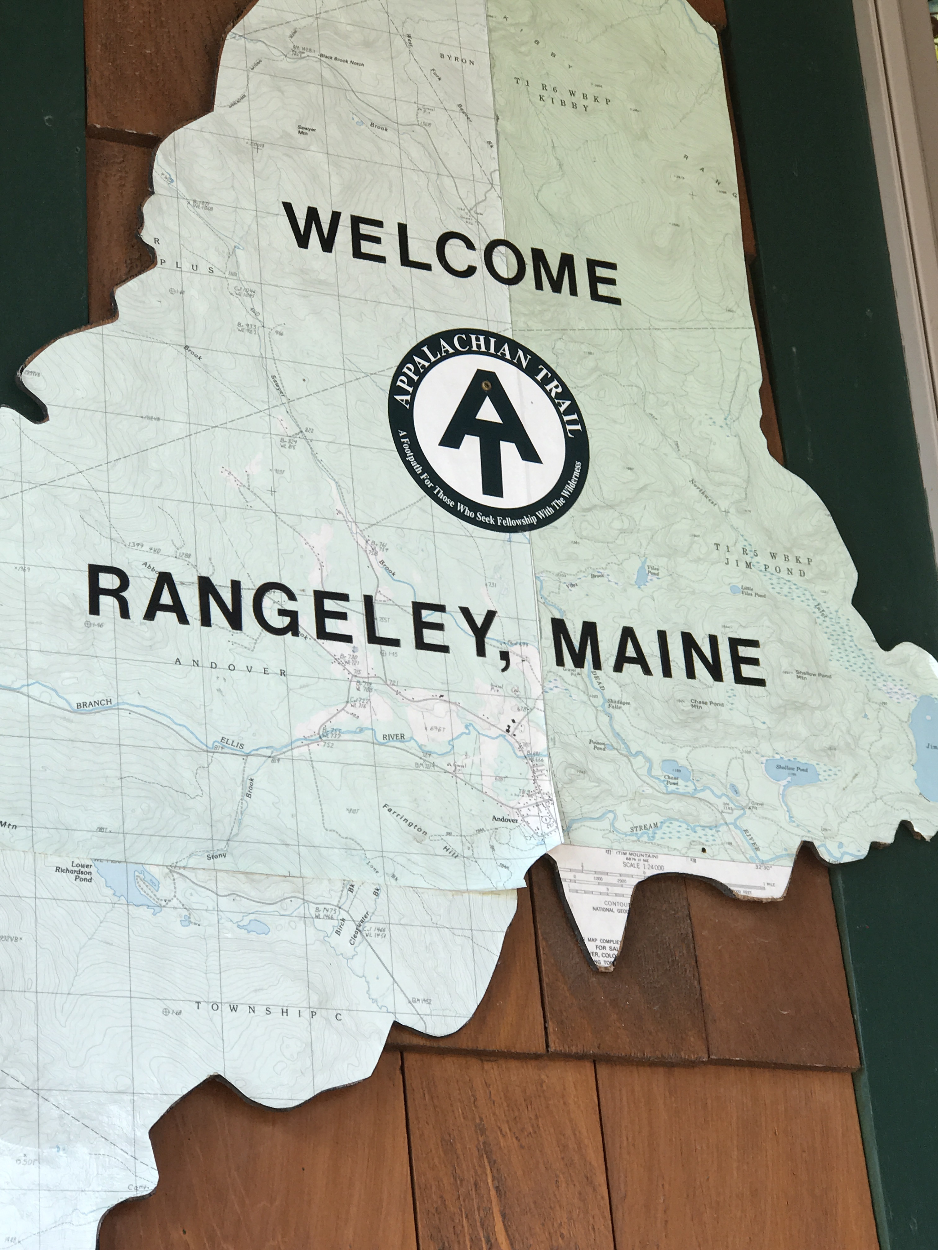
The “First Real Place”. All towns are henceforth referred to as Rangeley X, wherein X=their order of visitation.
Rangeley One: The Bright Lights Are Shining.

The Plaza Hotel, Stratton, ME. Note pro-gun stickers.

First Moose Sighting in Stratton, ME!

Monson, ME: Magical. Not just because it’s the last place I got it in. Shaw’s Hostel was heroic.
Six Weeks of Hiking, in Hyperspeed
I’m aware that post has lightly grazed about nineteen different topics (Mean hikers! Yellow blazing! The odor! The food!) without actually exploring any of them. But the real reason you’re all reading is to hear about the HIKING, right? And I have, between the Tour de Maine, a week in Rangeley Dos (Gorham, NH), and many, many calories, done a bit of hiking.
The Big K and the Hundo
Katahdin and The 100-Mile Wilderness, done in the company of my boyfriend, were amazing, as would be expected. (This could be a retrospective positive outlook on that period because I now miss my boyfriend. The mosquitoes were beyond horrific, I have black fly bites that took chunks of ink out of my tattoos, and it was so. fucking. muddy.) Summiting Katahdin was officially one of the most terrifying experiences of my life. It rained for the first seven hours of the day, causing the boulders and rebar to be slippery. The fog was so thick that we couldn’t see more than a couple of yards in any direction, which gave the illusion that we could plummet to our death we’re we to slip of the aforementioned slick boulders. The view was nonexistent.

Note white knuckles gripping sign for dear life.
Once we got below treeline, the rain chilled the fuck out and we almost had fun. We stopped having fun when we realized that the Abol Campground, where we had our reservation, was a 2-mile road walk from Katahdin Stream. We started having fun again when I remembered that I’d brought a flask of Jameson.
As far as I’m concerned, the Wilderness was a highlight of the trip. In addition to the company, I really enjoyed not being able to escape the woods for 10 days. Starting in Georgia, temptation abounds in the form of towns, roads, and other places to escape this dumb idea you had one night. While there are logging roads in the 100MW, and you could get out of you needed, it’s such a pain in the ass to get to Millinocket that I think I would have felt pretty stupid tapping out at Jo Mary Road. Plus, it’s one of the few parts of the trail with legit beaches! Who doesn’t love beaches?
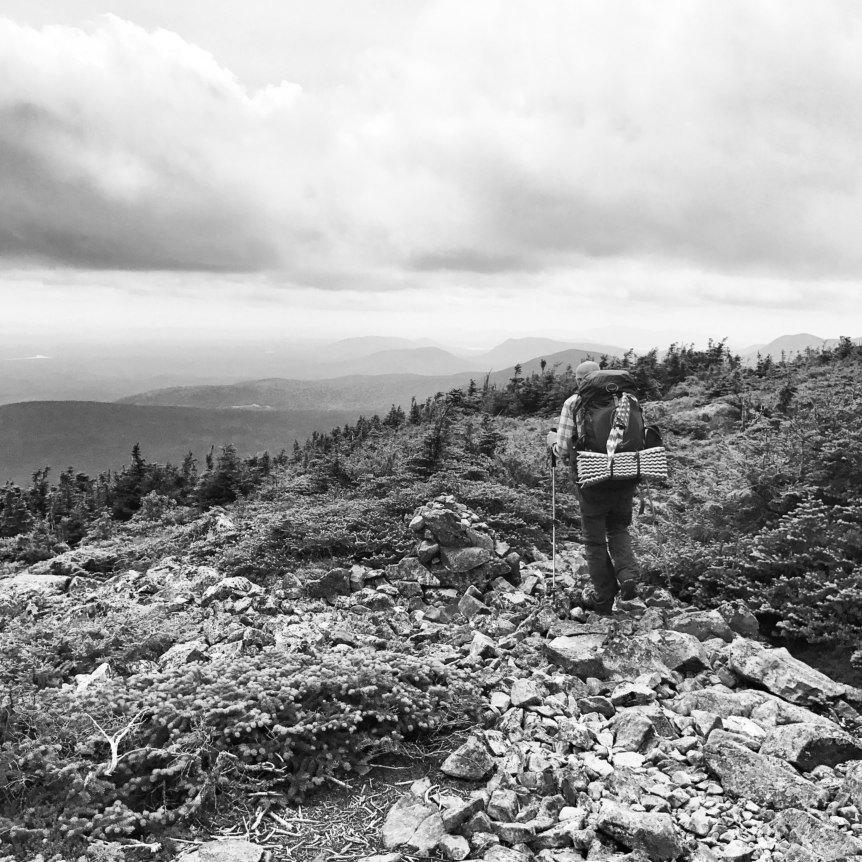
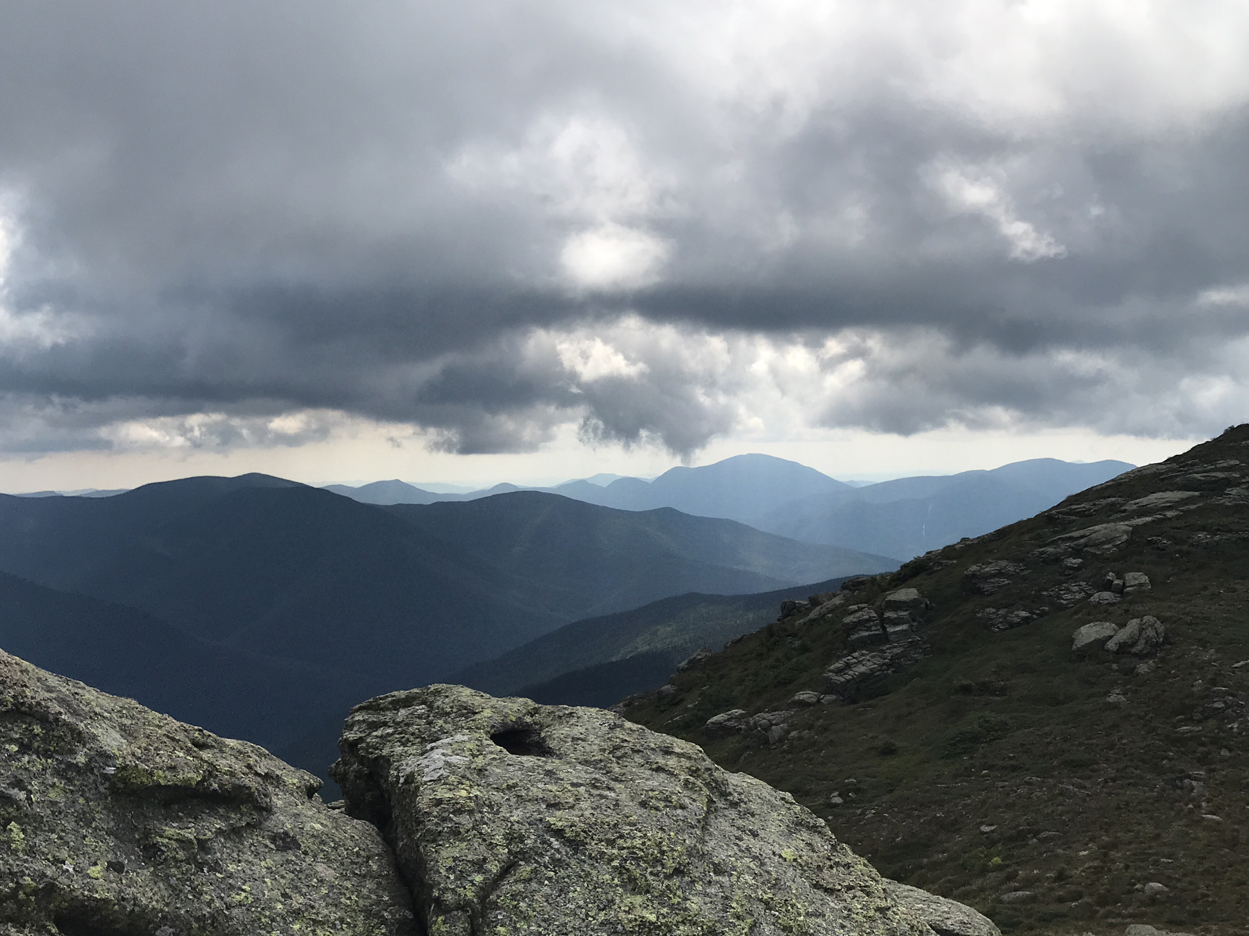
White Cap Mountain on a black and white afternoon.
Once my BF and I said our tearful adieus, I was on my lonesome…for about three hours. I hiked to Caratunk with a girl I’d met in the Wilderness. I left Caratunk earlier than she did, and then met two other hikers, one of whom I am still currently hiking with. We bonded over our dislike of trail names and general confusion over why so many hikers seem to despise their parents. Our town-hopping escapade with intervals of strenuous hiking has followed this sequence: Caratunk to Stratton, Stratton to Rangeley, Rangeley to Andover, Andover to Gorham, Gorham to Lincoln, and finally Lincoln to Hanover.
Maine: An American Tragedy
Maine was fucking hard. Maine was rock faces and false summits and endless ups and downs. Maine had my ass walking 1800 feet up a mountain in under two miles only to bring you straight back down to a lower elevation than I started. Maine had rain, bugs, roots, rocks, and mud: Quintuple Penetration.
The worst thing about Maine was walking past people who would literally grab your arm (#hikingwithavagina) and tell you that you had NO IDEA how hard Southern Maine was going to be. I’m pretty sure we were 60 miles from the New Hampshire border and people were still telling us how hard Southern Maine was going to be. Don’t get me wrong: Maine was HARD. It was also beautiful, rewarding, and full of delicious water.
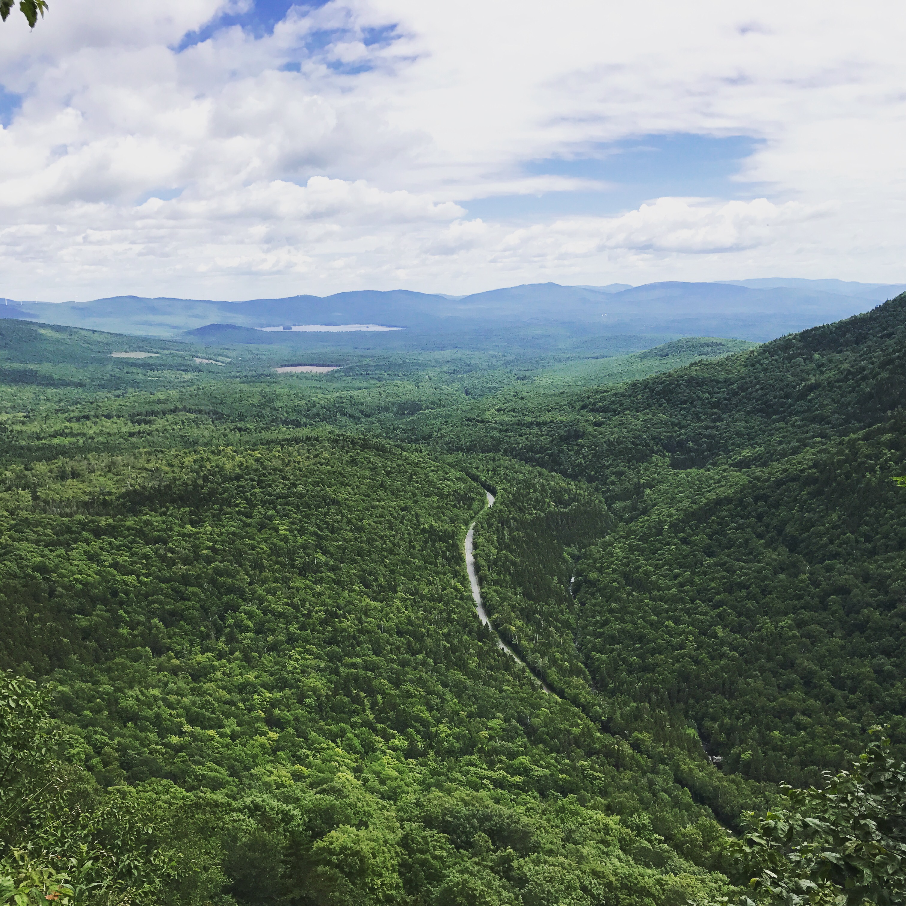
Here are some pictures of a few times that Maine decided to take a break from being an asshole.

The 281 miles of Maine took just under a month, and we waltzed into Gorham, NH, on the last day of July. I never thought I would spend any time in Maine, let alone 31 days in the mountains and woods. I’m still suffering flashbacks of the five mountains after the Mahoosuc Notch, so forgive me if I leave the expounding for another blog.
The Vortex of Gorham
In our defense, the reason Gorham became a six-day situation was largely related to weather. We rolled in after a 10 mile day, and took a zero the day after. I turned 31 on the trail, so we had to hit up the AYCE Chinese Buffet in celebration. We then slackpacked the 21-mile section of the White Mountains: Over the Wildcat Mountains, the Carter Mountains, and Mount Moriah.
Slackpacking is the Best Thing Ever
You hike without all your crap.

That is the smile of someone whose pack weighs 9 pounds.

The only thing acting Presidential these days is this range.
After the 21-mile day, there was meant to be horrible thunderstorms, meaning that the uber-exposed Presidential Range was a no-go zone for those days. Now, some lunatics get off on defying weathermen and going anyway, but I am not one of those people. While I’m all about pushing my boundaries and trying new things, I’m not so cocky as to think lightning doesn’t apply to me. Many people said to us: “You’ll just have to deal with weather on the trail – get used to it.” Alas.
The Cheat, and Other Things I Don’t Regret
I chose not to deal with it. I chose, after two days of sitting in Gorham and one day of loitering in the Pinkham Notch Visitor’s Center, to yellow blaze. This, for the uninitiated, is when you skip part of the trail via a car or a shuttle. We skipped from Pinkham Notch to Crawford Notch, exactly 26 miles of the most beautiful section of the AT. I’d say it took me four days to get over it. Is it annoying that we had to skip a small chunk? Hell yeah. Was the torrential rain and 35 degree night we spent shaking at the Ethan Pond Campsite enough to make us feel that our decision was the smarter and safer one? Hell yeah. Talking to people who summited Washington that weekend and the following Monday, it seemed that they’d all had a wretched, terrifying, and borderline hypothermic experience with no views. Pass.
The rest of the White Mountains were solid. We had reasonable weather during the day, though it was worryingly cold at night. The Franconia Ridge was the highlight, thought the climb up Mount Lafayette was borderline destructive to the body and mind. Overall, I think that Southern Maine was so abusive that the Whites seemed easy in comparison.
Like, whoa.

Those hiker box shorts, though!

Kinsmans? Boob cones? Who can keep track?
We made it to Lincoln after three nights, and decided to slackpack the 16.3 mile section from Franconia Notch to Kinsman Notch. It was not as exposed as the previous few days, and thus slightly anti-climactic. We did have a beautiful day and thus some sick views. 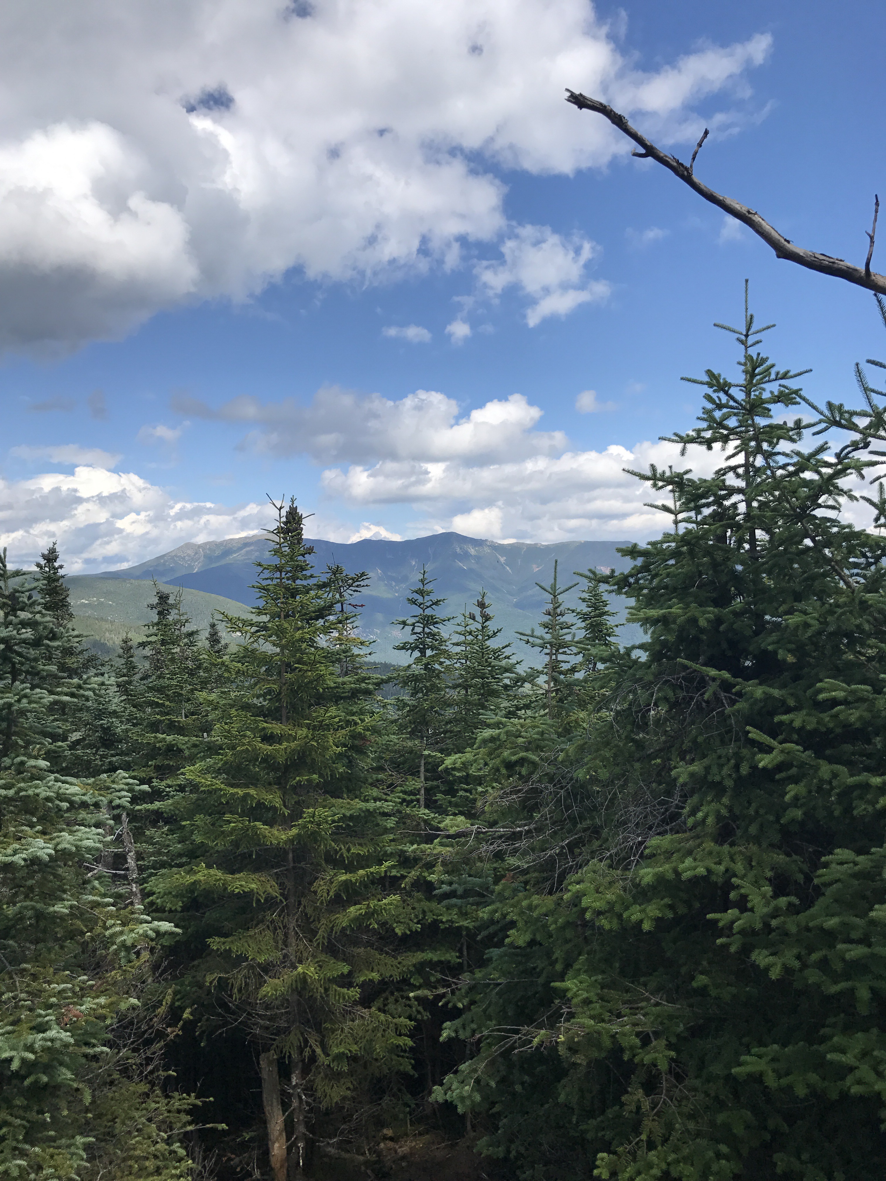
The following day was the 9.3 mile stretch from Kinsman Notch to Moosilauke, which we had been told was NEARLY IMPOSSIBLE and DANGEROUS. While I do think that the NOBO descent would be treacherous in rainy weather, it wasn’t as anxiety-inducing as the signs made it seem. Additionally, it was nice to get to the top of a mountain and see grass as opposed to that Fragile Alpine Flora (although the grass IS the F.A.F. up there…so confusing).

I still don’t know how to pronounce Moosilauke.
The End of the Beginning
When we descended Moosilauke, we hit Glencliff and stayed at the Hiker’s Welcome Hostel, thus signaling the end of our tenure in the Whites and the most physically demanding part of the trail for a while. We took a few more days to get into Hanover, which is an upscale college town with roads that sparkle and Indian food what leaves a pleasant spice in your mouth. There are bookstores. There is a grass that you can sit in without worrying if it’s a good tent site. There are amazing Trail Angels who help hikers. There is gelato. So it will definitely be hard to leave.
That said, now that the exciting section is over, I think the new fun activity will be hiking longer days. Which I plan on doing as soon as I get one more scoop of Stracciatella.

XOXO

This website contains affiliate links, which means The Trek may receive a percentage of any product or service you purchase using the links in the articles or advertisements. The buyer pays the same price as they would otherwise, and your purchase helps to support The Trek's ongoing goal to serve you quality backpacking advice and information. Thanks for your support!
To learn more, please visit the About This Site page.
