 ">
">
Connecticut
Day 43 – Wiley Shelter to Mt Algo Shelter
A blast of colder than expected air descended on us overnight, a welcome reversal from the recent heat and humidity. Noisy birds woke us up at dawn, as if to announce the news, but we ignored them for about an hour in order to sleep in till 6:00.

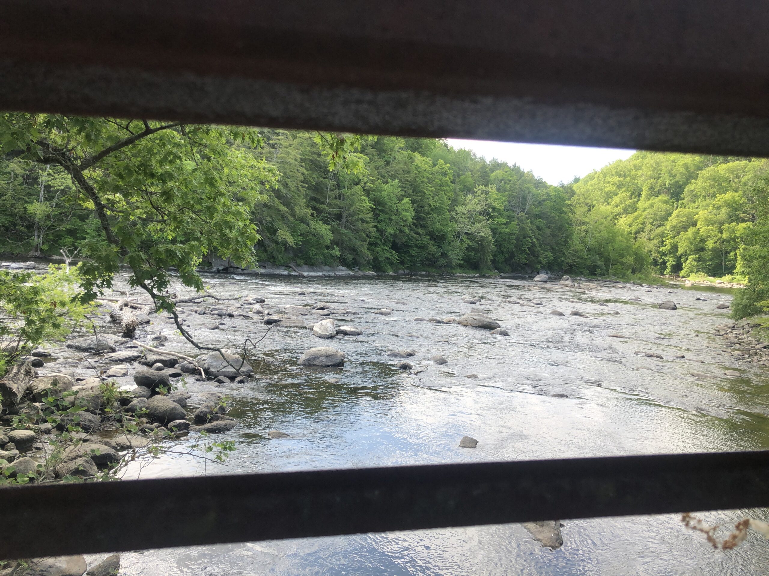
We entered Connecticut around 8:00 and walked along the Housatonic River for a few miles. New England has a high concentration of Native American place names. The name Housatonic is derived from a Mohican word for “river of the mountain place”. The Housatonic and its surroundings reminded me of our local Youghiogheny River, or “stream flowing in a roundabout direction”, with its waterfalls, rocks, and rapids.
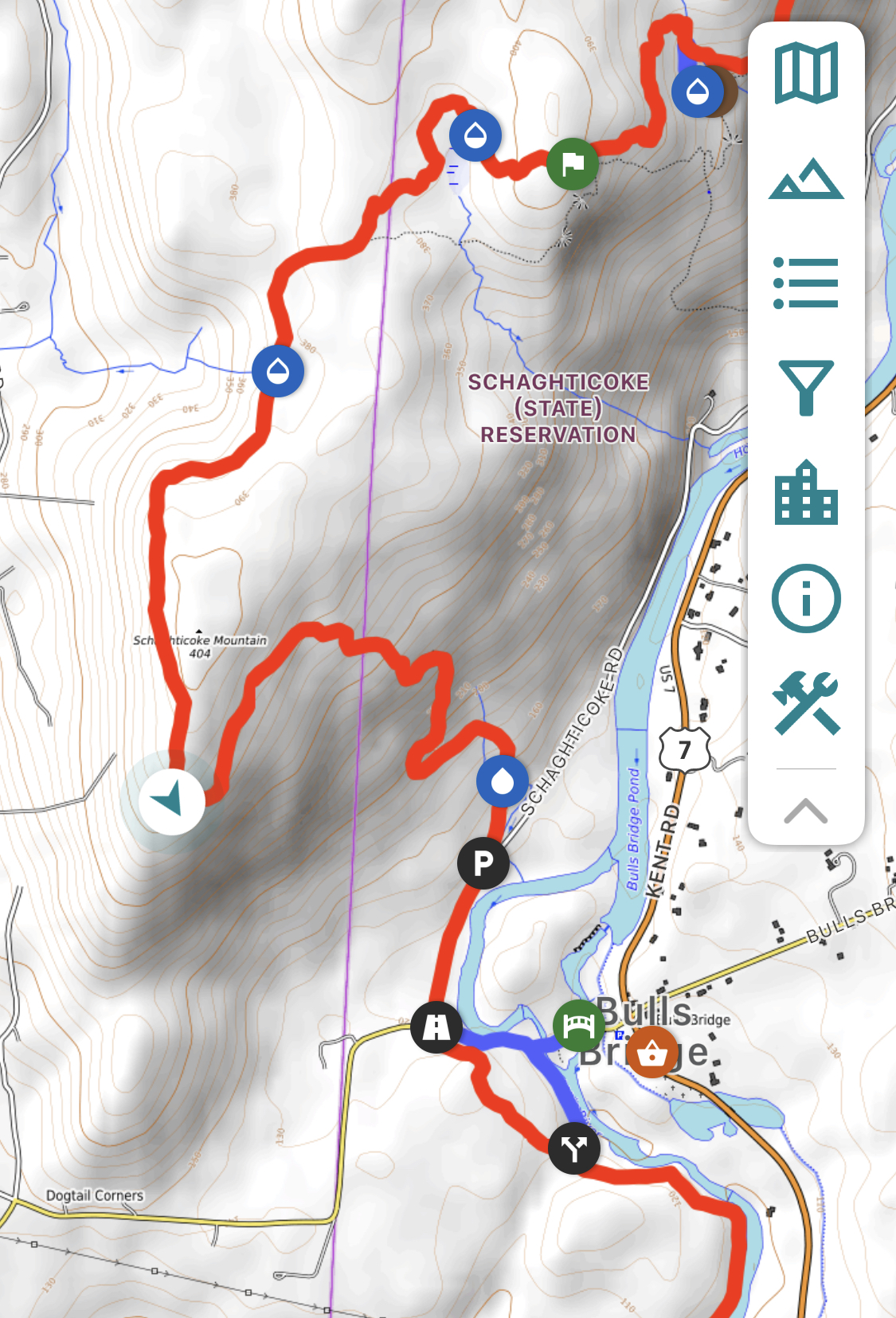
The trail abruptly took a hard left turn back into New York in order to scale Schaghticoke Mountain. We concluded Connecticut must not have enough mountains in its section of the AT, so it had to borrow one from New York.
Along the way we met a pair of day hikers, one of whom was a previous thru-hiker named Snowman. He enthusiastically shared advice and humor about his own hike, and we were so engrossed that we walked past our only decent water source for the day. Rather than watch us turn back, they reached into their packs and gave us two bottles’ worth of water. Trail magic truly comes in many forms.
We ended the day somewhat early at Mt Algo Shelter since Connecticut quite strictly has no dispersed or stealth sites, and the next shelter was another seven miles out. Going there would have resulted in a 20-mile day, something we were not prepared to do.

Dinner included some new friends, Early from Mississippi and Big Stick from Germany. They both started in Georgia, and Big Stick was aiming to complete the whole hike in under 100 days. He didn’t like to waste too much time eating or drinking and looked like a hard-driving hiking machine.
Once when we were in our tent, we heard the familiar and friendly voice of Sargent Pepper. It was nice to catch up with him through our tent, even if we didn’t see him till the next day, which was his birthday. He said he was planning to celebrate it with a zero day in nearby Kent, and wondered if anyone wanted to join him. We declined since we already had plenty of food to carry, and it would have added two miles to tomorrow’s hike. I bundled up from the cold and listened to woodpeckers tap out messages in Morse code.
Day 44 – Mt Algo Shelter to Cesar Brook Campsite
Upon walking out of the campground, we came across some trail magic just prior to the turn off to Kent. Someone had arranged a still life of Gatorade, Cokes, and beer. None of these drinks interested me first thing in the morning, but I imagined Sargent Pepper would probably take the beer on his way into town.
The terrain became more challenging today, starting with a dramatic and steep descent down a rocky slope. We did this with Typical, a very tall, former state trooper who was happy to be hiking no matter what the situation. He has his own YouTube channel, and even included us in a clip.

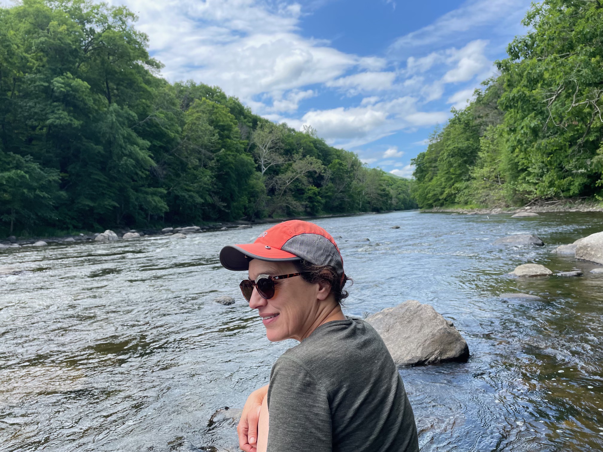
After the descent, we walked along the scenic Housatonic River for several miles, and climbed out on to one of its rocks for a lunch break.
Soon after we confronted a series of steep climbs and descents, each one leaving me more fatigued. Along the way, we crossed paths with O.G. Except I almost didn’t recognize him. He looked like he’d been in a fight, with his nose taking the worst of it. It turned out he had a bad fall and he thought he broke his nose and his teeth. But after some self-assessment he determined all was good, except the sliced-up nose. He had cleaned himself up and kept going. I decided to pay extra careful attention to all the tripping hazards that my feet encountered as I dragged myself through the last few miles to our campsite.
Day 45 – Cesar Brook Campsite to Falls Village
I had another dream about poison ivy. Not a day goes by without regularly walking within inches of it. Yesterday afternoon’s shower spot was steps from it, and the log we sat on to eat our dinner abutted a patch. Look, but do not touch. So far I am free and clear, but poison ivy remains one of the most hazardous things we encounter.
The other hazard we regularly encounter is off-leash dogs. On numerous occasions we have had to use our trekking poles to ward off growling, agitated dogs. Most people think we must worry about bears, and we certainly don’t tempt them by leaving food out. But dogs are actually the bigger danger, both statistically and in experience. We’re always thankful and relieved to see them attached to a leash.

We headed west of the Housatonic, hiking up and down, up and down, before arriving at Hang Glider View. From here we looked north out over the historic Lime Rock Speedway, bounded by pastoral fields. The view also included Bear Mountain, Connecticut’s highest peak, and the southern Taconic Ridge in the background. The sound of race cars accompanied us more or less the entire way down, back toward the Housatonic and into Falls Village. The forest floor spread out like farm fields of dense, lush ferns.

The walk into tiny Falls Village followed a mostly flat path through a forest that had been sadly ravaged by the Southern Pine Beetle, and thus overtaken by weeds and poison ivy. We carefully worked our way through the narrow corridor, then popped out in a parking lot with a dumpster where we unloaded four days’ worth of trash.


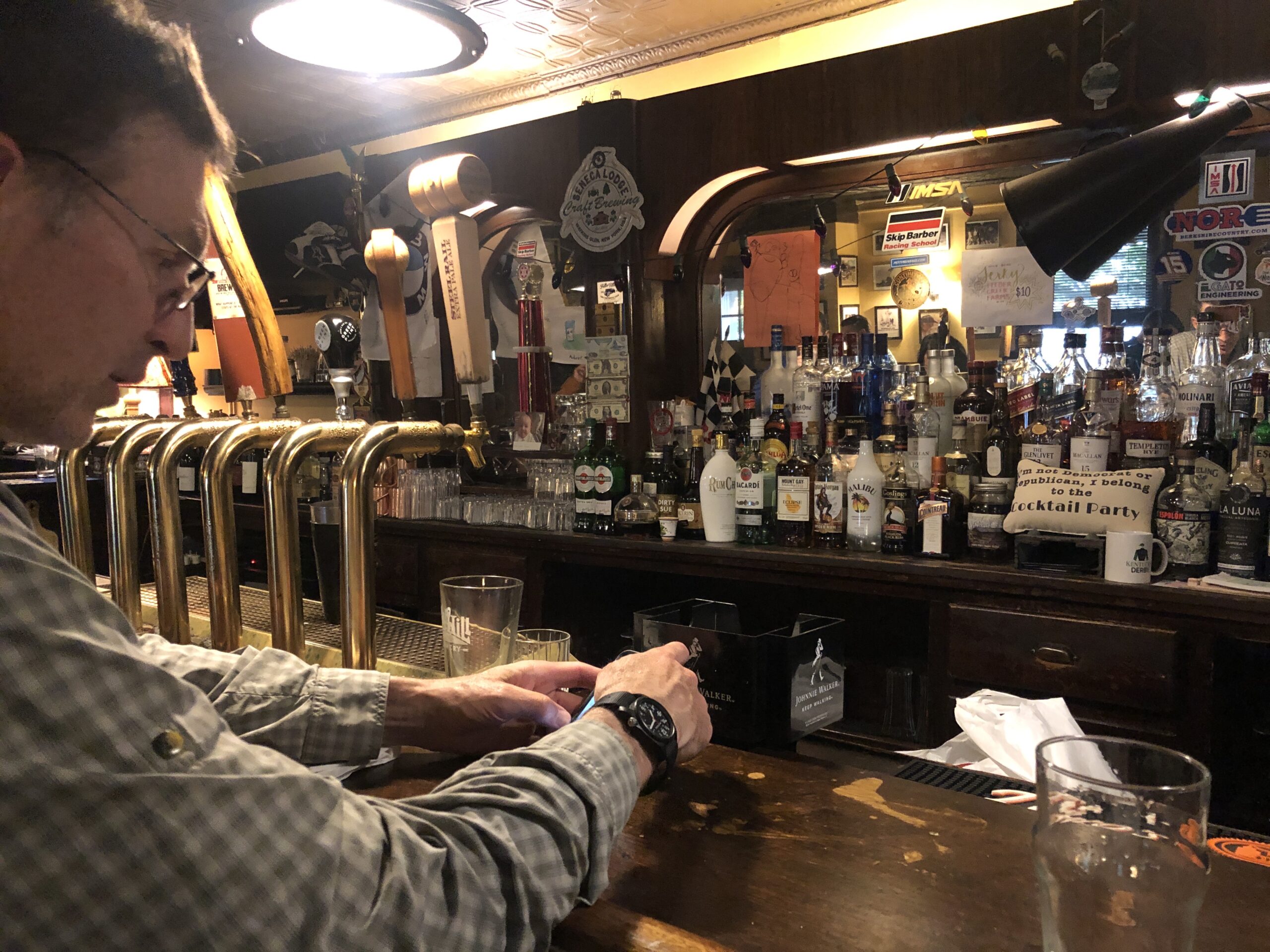
Lunchtime coincided with our arrival, so we headed straight to the Falls Village Cafe for sandwiches and gelato. It was the only lunch place in town, but it was a good one. I also washed my legs with soap and water in the bathroom in case they touched poison ivy. Dinner was at the only dinner place in town, the Falls Village Inn, where we planned to stay for the night. We ate burgers at its classic bar while eavesdropping on locals’ conversations.
Falls Village is a National Historic District, so we enjoyed an after-dinner stroll to look at buildings. Strangely, the air smelled like smoke. Back in our hotel room, we read the forecast for thunderstorms with penny-sized hail. Even worse, we read about Canadian wildfires and their effects on the region’s air quality. We felt lucky to be indoors that night.


Day 46 – Falls Village to Laurel Ridge Campsite, MA
The last day in Connecticut began with Mount Prospect and ended with Bear Mountain. All of the views were cloaked in smoke, although the air did not smell. Root emerged on the trail while we sat eating a snack. We met him again at the top of Bear Mountain, and later tented next to him at Laurel Ridge.


Tomorrow’s destination is Great Barrington, MA, where we plan to resupply, do laundry, and take a zero day. We hope the smoky air will clear in the process. But first we have to scale Mount Everett, the tallest peak in southern Massachusetts.

This website contains affiliate links, which means The Trek may receive a percentage of any product or service you purchase using the links in the articles or advertisements. The buyer pays the same price as they would otherwise, and your purchase helps to support The Trek's ongoing goal to serve you quality backpacking advice and information. Thanks for your support!
To learn more, please visit the About This Site page.

Comments 2
can’t believe you are already in New England. Worst of smoke should already be over for you- the worst for here in Wheeling is today, but it has not been too bad here relative to the East Coast. It was worse here Wednesday than yesterday, but this morning is a dull, crappy, pasty sky that looks like a heavy dew. Enjoy Massachusetts!
It was fantastic meeting you both on the trail. Anne and I could have talked your ears off lol. Have a wonderful safe rest of your journey. Glad we could help out with some trail magic.
Andy ⛄️ & Anne